 Block
Samaria, South Carolina
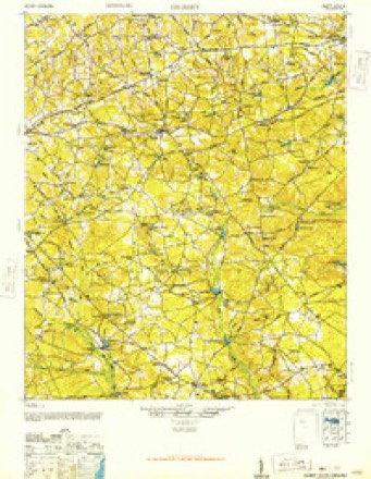
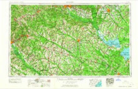
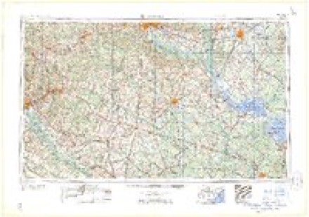
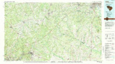
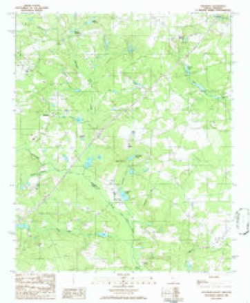
12 topographic sheets cover this place, the earliest surveyed in 1944 and the latest in 1986. It stands in the Batesburg-Leesville census division. It lies in ZIP code area 29006. It stands on Long Branch. The Survey maps it on the Steedman quadrangle.
Topographic sheets covering this place
8 surveys from 12 printed sheetsMatched by testing this settlement's coordinate against the published boundary of every sheet in the United States Geological Survey's historical collection. Each opens the scanned sheet at the Survey.
- 1944 USGS Gilbert quadrangle1:62500, 2 printings
- 1954 USGS Augusta quadrangle1:250000
- 1957 USGS Augusta quadrangle1:250000, 3 printings
- 1958 USGS Augusta quadrangle1:250000
- 1961 USGS Augusta quadrangle1:250000, 2 printings
- 1962 USGS Augusta quadrangle1:250000
- 1983 USGS Aiken quadrangle1:100000
- 1986 USGS Steedman quadrangle1:24000
Fires near this place
199 since 1992Regional context, not property-specific evidence. The federal wildfire occurrence database lists 199 fires within 5 miles of Samaria between 1992 and 2020, burning about 1,185 acres in total. 12 started naturally. 17 were recorded as arson. Distance is straight-line from the map coordinates, so a fire counted here may appear on a neighbouring settlement's page as well.
| Reported cause | Fires |
|---|---|
| Debris and open burning | 68 |
| Missing data/not specified/undetermined | 68 |
| Arson/incendiarism | 17 |
| Equipment and vehicle use | 13 |
| Natural | 12 |
| Misuse of fire by a minor | 10 |
| Smoking | 6 |
| Recreation and ceremony | 4 |
| Power generation/transmission/distribution | 1 |
The most recent of them, most recent first, with the day each was reported and the service that recorded it.
| Date | Cause | Size | Reported by | Name on the report |
|---|---|---|---|---|
| 8 September 2002 | Debris and open burning | 1.5 acres | South Carolina Forestry Commission | not named |
| 8 September 1999 | Natural | 4.5 acres | South Carolina Forestry Commission | not named |
| 7 September 2001 | Debris and open burning | under an acre | South Carolina Forestry Commission | not named |
| 30 September 2019 | Debris and open burning | 2.0 acres | South Carolina Forestry Commission | not named |
| 30 September 2016 | Missing data/not specified/undetermined | under an acre | South Carolina Forestry Commission | not named |
| 29 September 2005 | Misuse of fire by a minor | under an acre | South Carolina Forestry Commission | not named |
| 27 September 2017 | Recreation and ceremony | 3.0 acres | South Carolina Forestry Commission | not named |
| 22 September 2019 | Debris and open burning | 1.0 acres | South Carolina Forestry Commission | not named |
Settlements close enough to share some of these fires:
Mines and quarries near this place
5 within 5 milesRegional context, not property-specific evidence. The federal mineral resources record lists 5 workings within 5 miles of Samaria: 3 past producers, 2 unknowns. None of them still produces. What was taken out: Clay, Sand. Distance is straight-line from the map coordinates, so a quarry counted here may appear on a neighbouring settlement's page as well.
| Where | Site | Commodity | Status | Recorded |
|---|---|---|---|---|
| Frick Mine | Sand | Unknown | Sedimentary | |
| Adolphus Hite Kaolin Pit | Clay | Past Producer | Sedimentary | |
| Aiken County Mine Number 1 | Clay | Unknown | Sedimentary | |
| Aiken County Mine Number 1 | Clay | Past Producer | ||
| Marlowe Creek | Clay | Past Producer | Sedimentary |
Storms near this place
17 since 2008Regional context, not property-specific evidence. The National Weather Service names Samaria in 17 storm reports between 2008 and 2025: 11 thunderstorm wind, 4 hail, 1 tornado, 1 flood. No death or injury is recorded in these reports. Each account below is quoted exactly as the forecast office filed it, from the NOAA Storm Events Database, and each date opens the federal record of that event.
| When | Event | Place named | Harm | What the report says |
|---|---|---|---|---|
| February 2016 | Thunderstorm Wind | Samaria | $25,000 | NWS Storm Survey confirmed microburst with 70 mph wind. Vehickle trailer blown over, power lines down, wind damage to tractor trailer truck hoods. Damage to an out building with roof blown off. |
| August 2013 | Thunderstorm Wind | Samaria | $3,000 | SC Highway Patrol reported trees down at the intersection of Quattlebaum Road and Two Notch Road. |
| May 2011 | Thunderstorm Wind | Samaria | $2,000 | Sheriff reported trees down and across Quattlebaum Road near I-20. |
| July 2009 | Thunderstorm Wind | Samaria | $1,000 | Hill View Truckstop reported a couple of trees down at I-20 and Fairview road. |
| May 2025 | Thunderstorm Wind | Samaria | - | Trained spotter reported trees down near mile marker 42 mile marker on I-20. Estimated wind speeds to 60 mph near that location as well. |
| August 2025 | Flood | Samaria | - | A trained spotter shared a video of a roadway washout of Bagpipe Rd near Bright Leaf Rd. Washout was likely due to poor drainage leading to overflow of the pond. |
| June 2025 | Thunderstorm Wind | Samaria | - | Lexington County Communications Center reported a large tree blocking the roadway on Fairview Road near Ranch Road. Time estimated by radar. |
| April 2022 | Tornado (EF2) | Samaria | - | The National Weather Service storm survey confirmed an EF2 tornado from northern Aiken County into southern Lexington County. ||The tornado touched down in Aiken Co then moved NE and crossed into Lexington Co. ||The tornado continued to move NE and crossed I-20 just west of mile marker 39, near|exit 39. There was significant tree damage along the westbound lanes of I-20. Several|trees were uprooted and snapped in the vicinity.||The tornado moved NE crossing US Hwy 178 (Fairview Hwy) and produced some minor|damage to the roof and underpinning of 2 homes and uprooted a few small trees along|Annie Hallman Rd. The tornado dissipated just beyond the intersection of Annie|Hallman Rd and Live Oak Rd. |
| April 2022 | Thunderstorm Wind | Samaria | - | An NWS Storm Survey found downed trees along Kestrel Dr at Ben Franklin Rd and determined the damage was caused by straight-line winds. |
| May 2022 | Thunderstorm Wind | Samaria | - | SCHP reported tree in roadway near Palomino Road and Haven Road. |
| June 2019 | Thunderstorm Wind | Samaria | - | A line of severe thunderstorms produced widespread damaging winds, knocking down numerous trees over a large swath, many of which blocked roadways. |
| June 2018 | Thunderstorm Wind | Samaria | - | SCHP reported trees down along I-20 near mile marker 41. |
| May 2016 | Hail | Samaria | - | Dime to penny size hail reported at Cedar Pond Campground. |
| April 2015 | Hail | Samaria | - | Public reported nickel size hail on Brodie Road in Leesville. |
| July 2012 | Thunderstorm Wind | Samaria | - | Highway Patrol reported trees down on Fairview Road nar Interstate 26. |
| June 2010 | Hail | Samaria | - | Hill View Truckstop reported quarter size hail...occurred at I-20 and MM39. |
| June 2008 | Hail | Samaria | - | Police dept. reported nickel size hail on highway 302. |
Nearest settlements
The eight closest, with where each one stands in the county. Distances are straight-line, computed from the Geographic Names Information System coordinates.
| Map | Place | Distance | Sheets |
|---|---|---|---|
| Hall (historical) | 0.5 miles | 12 | |
| Althea (historical) | 1.2 miles | 12 | |
| Mims | 1.7 miles | 12 | |
| Chinquapin Falls | 2.4 miles | 11 | |
| Steedman | 3.5 miles | 12 | |
| Kneece | 3.7 miles | 11 | |
| Rayflin | 5.7 miles | 12 | |
| Leesville | 6.6 miles | 11 |
Provenance
This settlement is recorded in the Geographic Names Information System as feature 1244372. The sheet list is computed by point-in-boundary test against the United States Geological Survey's historical topographic inventory. Both are works of the United States government and carry no copyright under 17 U.S.C. 105.
Wildfire. Short, Karen C. 2022. Spatial wildfire occurrence data for the United States, 1992-2020 [FPA_FOD_20221014]. 6th Edition. Fort Collins, CO: Forest Service Research Data Archive. https://doi.org/10.2737/RDS-2013-0009.6 Collected with United States Government funding and usable without additional permissions or fees.
Mines and quarries. USGS Mineral Resources Data System (MRDS) https://mrdata.usgs.gov/mrds/ A work of the United States government, no copyright under 17 U.S.C. 105.
Storms. NOAA National Centers for Environmental Information, Storm Events Database https://www.ncei.noaa.gov/stormevents/ A work of the United States government, no copyright under 17 U.S.C. 105. Narratives are quoted verbatim from the National Weather Service report and are not edited or summarised.