 Block
Schofield, South Carolina
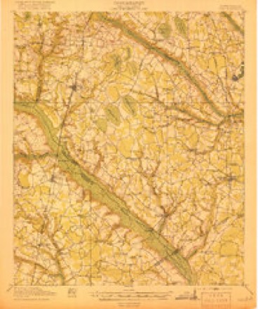
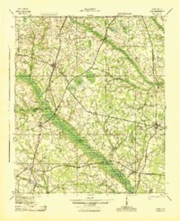
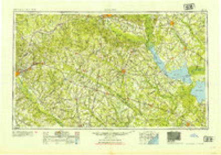
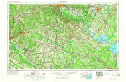
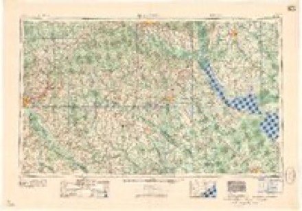
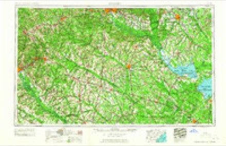
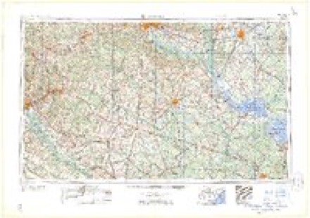
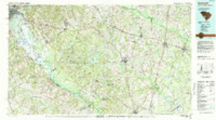
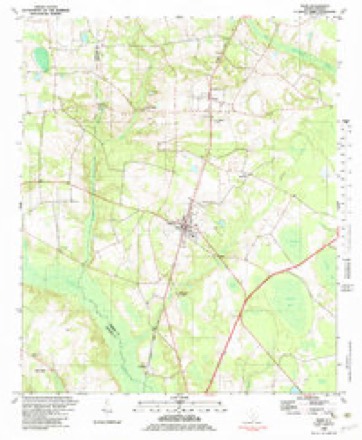
16 topographic sheets cover this place, the earliest surveyed in 1919 and the latest in 1982. It stands in the Olar census division. It lies in ZIP code area 29843. It stands on Birds Branch. The Survey maps it on the Olar quadrangle.
Topographic sheets covering this place
9 surveys from 16 printed sheetsMatched by testing this settlement's coordinate against the published boundary of every sheet in the United States Geological Survey's historical collection. Each opens the scanned sheet at the Survey.
- 1919 USGS Olar quadrangle1:62500, 3 printings
- 1943 USGS Olar quadrangle1:62500, 2 printings
- 1954 USGS Augusta quadrangle1:250000
- 1957 USGS Augusta quadrangle1:250000, 3 printings
- 1958 USGS Augusta quadrangle1:250000
- 1961 USGS Augusta quadrangle1:250000, 2 printings
- 1962 USGS Augusta quadrangle1:250000
- 1982 USGS Barnwell quadrangle1:100000
- 1982 USGS Olar quadrangle1:24000, 2 printings
Fires near this place
94 since 1992Regional context, not property-specific evidence. The federal wildfire occurrence database lists 94 fires within 5 miles of Schofield between 1992 and 2020, burning about 450 acres in total. 7 started naturally. 12 were recorded as arson. Distance is straight-line from the map coordinates, so a fire counted here may appear on a neighbouring settlement's page as well.
| Reported cause | Fires |
|---|---|
| Debris and open burning | 37 |
| Missing data/not specified/undetermined | 26 |
| Arson/incendiarism | 12 |
| Natural | 7 |
| Equipment and vehicle use | 7 |
| Smoking | 2 |
| Power generation/transmission/distribution | 2 |
| Misuse of fire by a minor | 1 |
The most recent of them, most recent first, with the day each was reported and the service that recorded it.
| Date | Cause | Size | Reported by | Name on the report |
|---|---|---|---|---|
| 7 September 2019 | Debris and open burning | under an acre | South Carolina Forestry Commission | not named |
| 5 September 1999 | Debris and open burning | 1.0 acres | South Carolina Forestry Commission | not named |
| 3 September 2004 | Natural | under an acre | South Carolina Forestry Commission | not named |
| 26 September 2000 | Arson/incendiarism | 5.0 acres | South Carolina Forestry Commission | not named |
| 26 September 1996 | Missing data/not specified/undetermined | 12 acres | South Carolina Forestry Commission | not named |
| 25 September 2010 | Debris and open burning | 5.0 acres | South Carolina Forestry Commission | not named |
| 25 September 2007 | Debris and open burning | 2.0 acres | South Carolina Forestry Commission | not named |
| 24 September 2010 | Arson/incendiarism | 5.0 acres | South Carolina Forestry Commission | not named |
Settlements close enough to share some of these fires:
Mines and quarries near this place
3 within 5 milesRegional context, not property-specific evidence. The federal mineral resources record lists 3 workings within 5 miles of Schofield: 1 unknown, 1 past producer, 1 producer. 1 still produces. What was taken out: Sand and Gravel, Construction. Distance is straight-line from the map coordinates, so a quarry counted here may appear on a neighbouring settlement's page as well.
| Where | Site | Commodity | Status | Recorded |
|---|---|---|---|---|
| Cleckley Pit | Sand and Gravel, Construction | Unknown | Sedimentary | |
| Ila Smith | Sand and Gravel, Construction | Past Producer | 1981 | |
| Pit No. 2 | Sand and Gravel, Construction | Producer |
Storms near this place
6 since 2011Regional context, not property-specific evidence. The National Weather Service names Schofield in 6 storm reports between 2011 and 2025: 3 hail, 2 thunderstorm wind, 1 tornado. No death or injury is recorded in these reports. Each account below is quoted exactly as the forecast office filed it, from the NOAA Storm Events Database, and each date opens the federal record of that event.
| When | Event | Place named | Harm | What the report says |
|---|---|---|---|---|
| August 2011 | Thunderstorm Wind | Schofield | $3,000 | DOT reported a few trees down on Rivers Bridge road southwest of Ehrhardt. |
| July 2015 | Thunderstorm Wind | Schofield | $2,000 | Dispatch reported a couple of trees down on Crazy Horse Road near Olar. |
| March 2022 | Hail | Schofield | $10 | A business reported dime size hail SE of Olar. |
| May 2025 | Hail | Schofield | - | Facebook post with a video of hail falling on Low Country Hwy between Olar and Ehrhardt. Additional photo showed a hailstone that was approximately quarter size. Time provided by user and confirmed by radar. |
| April 2022 | Tornado (EF3) | Schofield | - | A National Weather Service survey team confirmed a EF3 tornado that began in eastern Allendale County and then moved into Bamberg County near the intersection of Hwy 321 and Hwy 301. The tornado then crossed into Orangeburg county just north of Hwy 78. In Bamberg county the tornado moved through a large forest of mostly softwood pine, with hardwood oaks in the forest for some stretch. As it approached Popeye Rd, the tornado strengthened into a strong EF3 with winds |estimated at 160 mph. Remarkable damage was done to both softwoods and |hardwoods in this forest, with an estimated 2 miles of 80-100% forest |blowdown. In a particularly intense section, the tornado scoured the |ground and stripped pine needles off of young pine trees. Additionally,|many younger pine trees in this area were debarked and delimbed. On |either side of this were sections of pine and oak that had been snapped|low, at or below 5 feet, to the ground. Strong EF3 damage is estimated |to have continued from Popeye Road across Kirkland Creek and then |towards Wild Flower Road in Bamberg County. From here, the tornado |weakened a bit as it approached Alligator road. The tornado was near |its peak width at this time, then striking a more residential area along|Carver road. Here, one mobile home was completely destroyed, with a home|having its roof completely removed and some partial wall collapses. On |either side of the center of the track, other homes sustained different |degrees of damage to their roofs and siding. The tornado continued |northeastward and maintained EF2 strength, primarily causing damage |to trees. Much of the damage on Macedonia Church Rd was from trees |falling on homes. The tornado showed signs of weakening by this point |as it approached Orangeburg county, and it is distinctly possible that |there were multiple weak vortexes impacting only the tops of trees. EF0|and weak EF1 damage was noted until the county line with Orangeburg. |
| June 2015 | Hail | Schofield | - | Public reported quarter to half dollar size hail and large limbs down along Rivers Bridge Road east of Hwy 301. |
Nearest settlements
The eight closest, with where each one stands in the county. Distances are straight-line, computed from the Geographic Names Information System coordinates.
| Map | Place | Distance | Sheets |
|---|---|---|---|
| Bufords Bridge | 1.5 miles | 15 | |
| Olar | 3.4 miles | 16 | |
| Govan | 6.3 miles | 16 | |
| Springtown | 7.8 miles | 15 | |
| Hughes | 9.7 miles | 15 | |
| Clear Pond | 9.8 miles | 15 | |
| Luther (historical) | 10.0 miles | 15 | |
| Ehrhardt | 10.1 miles | 15 |
Provenance
This settlement is recorded in the Geographic Names Information System as feature 1231781. The sheet list is computed by point-in-boundary test against the United States Geological Survey's historical topographic inventory. Both are works of the United States government and carry no copyright under 17 U.S.C. 105.
Wildfire. Short, Karen C. 2022. Spatial wildfire occurrence data for the United States, 1992-2020 [FPA_FOD_20221014]. 6th Edition. Fort Collins, CO: Forest Service Research Data Archive. https://doi.org/10.2737/RDS-2013-0009.6 Collected with United States Government funding and usable without additional permissions or fees.
Mines and quarries. USGS Mineral Resources Data System (MRDS) https://mrdata.usgs.gov/mrds/ A work of the United States government, no copyright under 17 U.S.C. 105.
Storms. NOAA National Centers for Environmental Information, Storm Events Database https://www.ncei.noaa.gov/stormevents/ A work of the United States government, no copyright under 17 U.S.C. 105. Narratives are quoted verbatim from the National Weather Service report and are not edited or summarised.