 Block
From the record
13 National Register listings published here, 1 of them a National Historic Landmark.
Sources: the National Register database, National Park Service
46 topographic sheets and 12 fire insurance atlases across 2 places.
13 National Register listings published here, 1 of them a National Historic Landmark.
Sources: the National Register database, National Park Service
Taken for the Office of War Information and the Farm Security Administration, who photographed the country between 1935 and 1944. Works of United States government photographers, with no known restriction on use. Each opens its catalogue record.
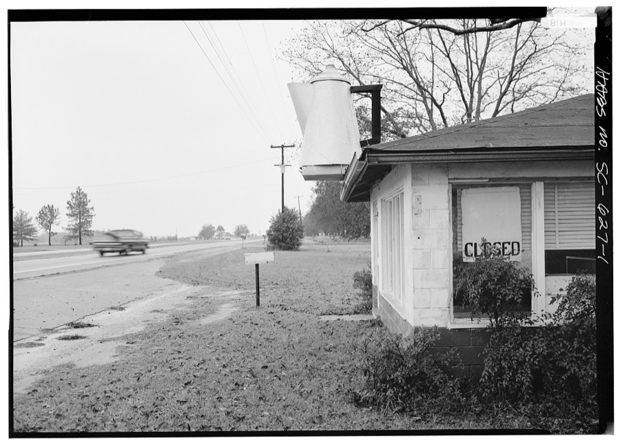
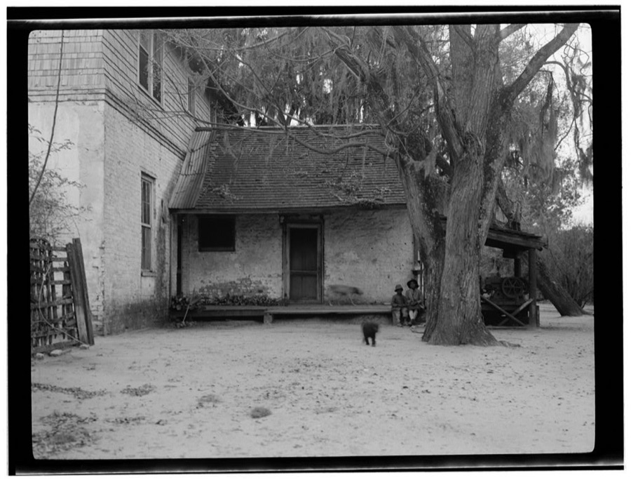
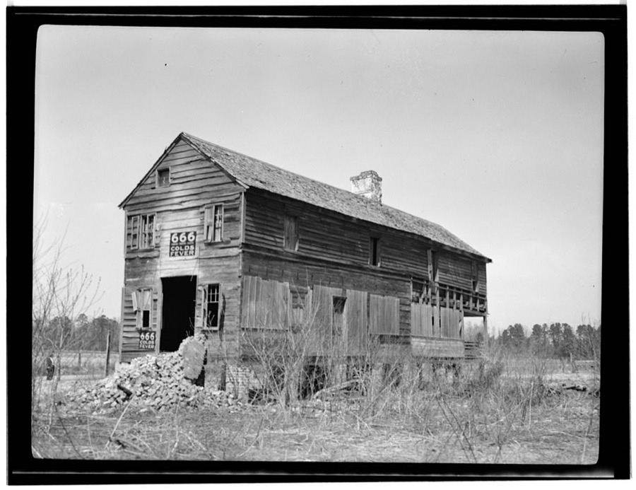
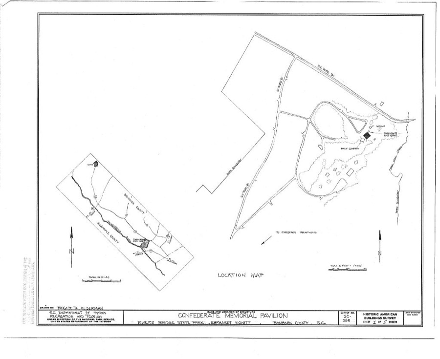
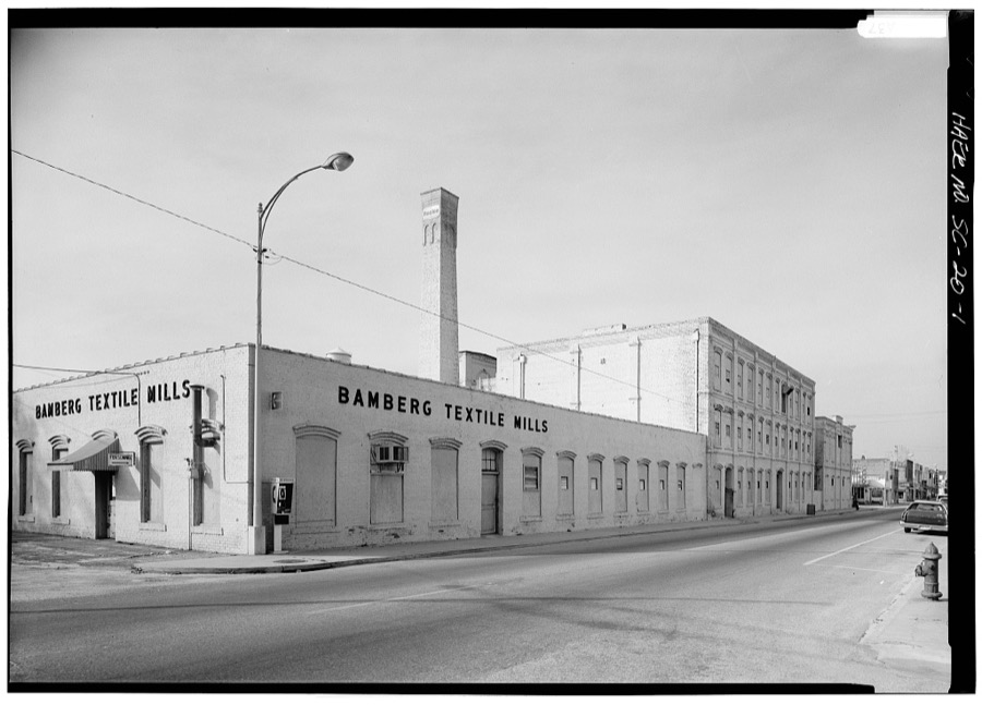
Every property in this county listed on the National Register of Historic Places, with the year it was listed and the federal nomination document.
| Photograph | Property | Type | Listed | Reference |
|---|---|---|---|---|
 | American Telephone and Telegraph Company Building | building | 1999 | 99000815 |
 | Bamberg City Hall | building | 2005 | 05001099 |
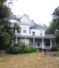 | Bamberg Historic District | district | 1983 | 83002184 |
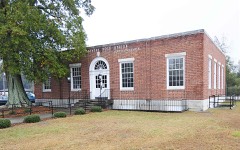 | Bamberg Post Office | building | 2007 | 07000074 |
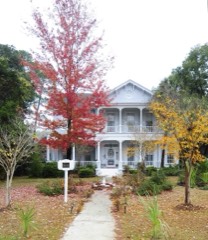 | Gen. Francis Marion Bamberg House | building | 1976 | 76001692 |
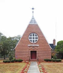 | Bedford Hall | building | 1982 | 82003830 |
| Booker T. Washington Hall | building | 1982 | 82003830 |
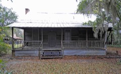 | Copeland House | building | 1991 | 91001494 |
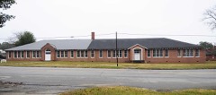 | Denmark High School | building | 2001 | 01000297 |
| Massachusetts Hall | building | 1982 | 82003830 |
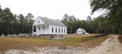 | Mizpah Methodist Church | building | 2000 | 00001531 |
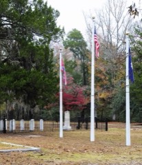 | Rivers Bridge State Park | site | 1972 | 72001187 |
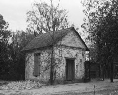 | Woodlands | building | 1971 | 71000742 |
Sampled issues, machine-read from the Library of Congress scan and published page by page, so every headline and column is searchable text.
Bamberg, S.C., 1891 to 1972. Machine-read from the Library of Congress scan.
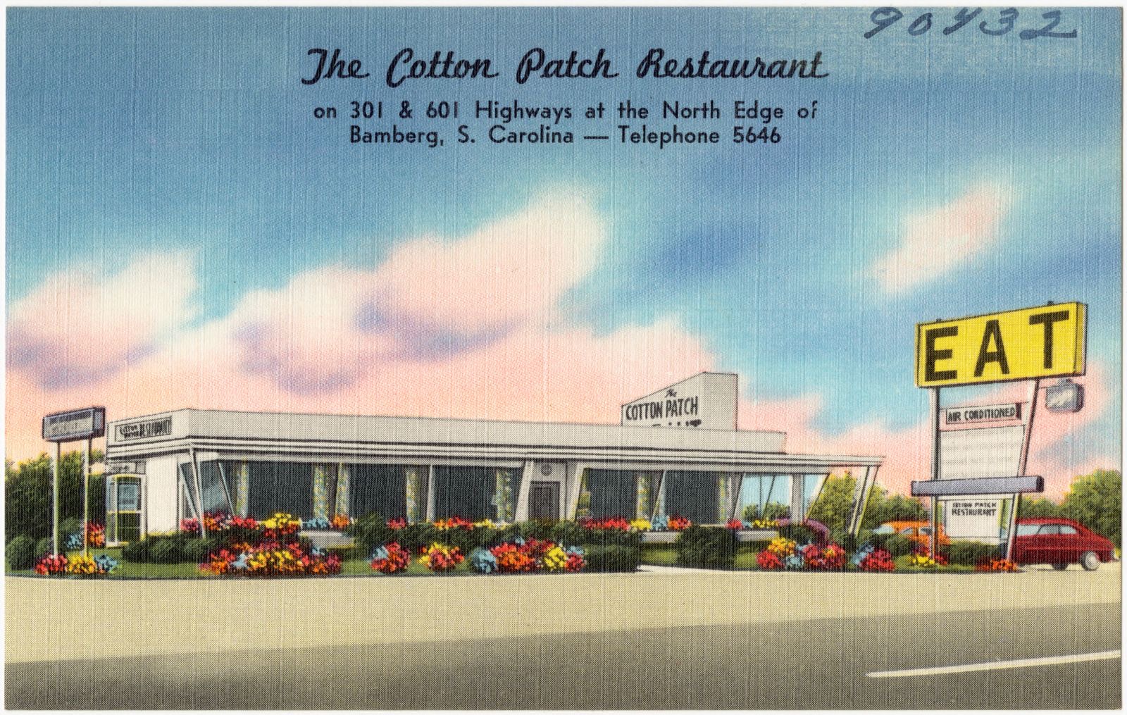
Selected from the Digital Public Library of America's 3 image records catalogued for this county. Every one shown here carries a public-domain status or a licence that permits reuse on a site that carries advertising; non-commercial, share-alike and restricted images are excluded. The selection is spread across the county's towns (at most eight per town), so no single institution's bulk upload crowds out the rest. Each opens the holding library's record, and the complete set at the Digital Public Library of America is one click away.

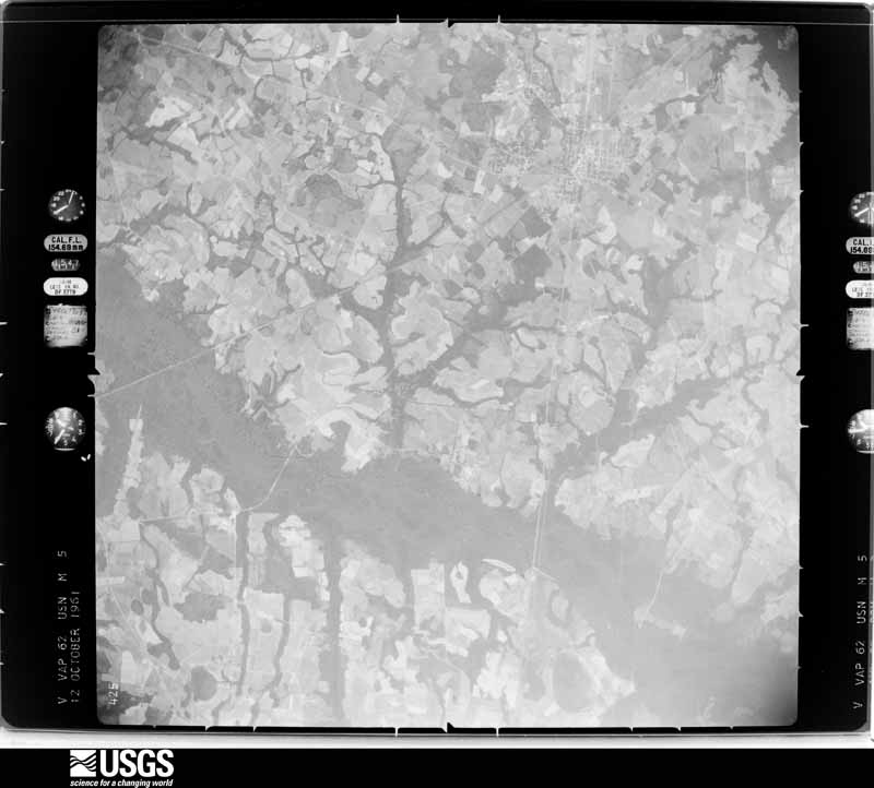
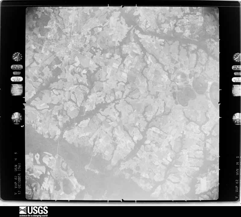
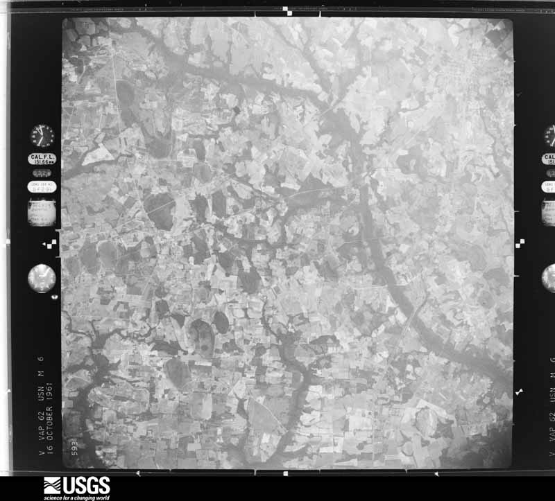
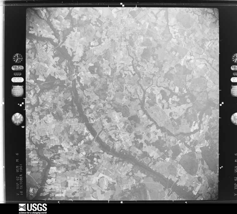
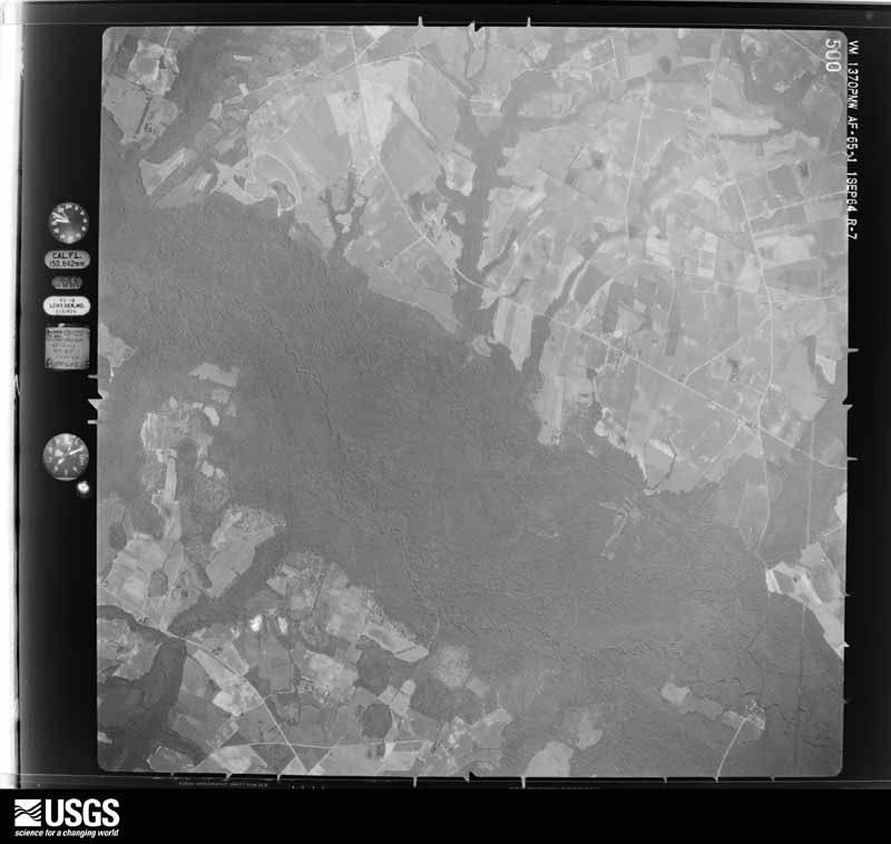
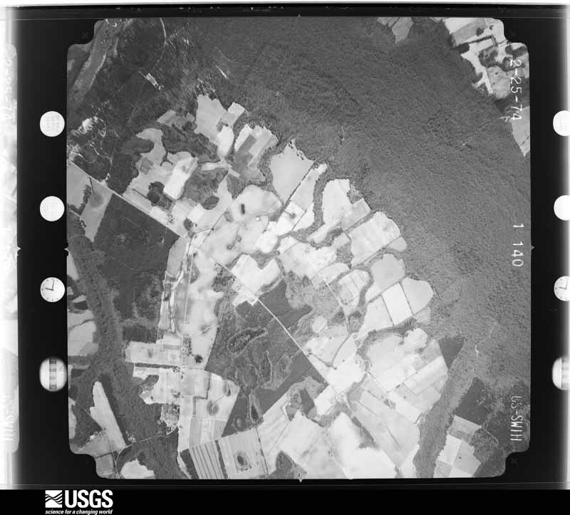
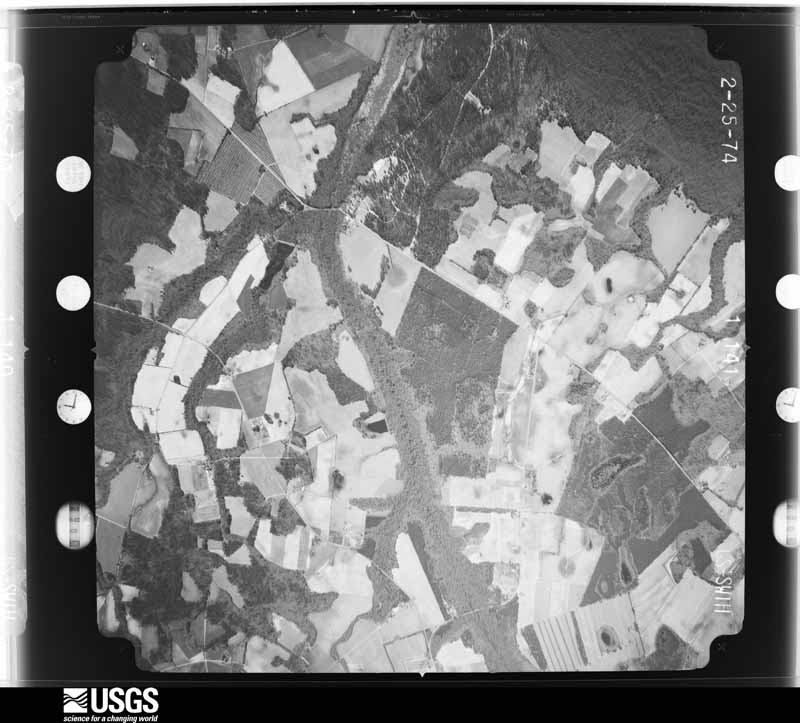
Flown by the U.S. Geological Survey between 1937 and 1989, the Aerial Photo Single Frames collection is the definitive mid-century view of the land: fields, roads and rivers as the camera saw them. The Survey holds 708 frames inside the rectangle that bounds this county; the 16 frames below were taken over the county itself, chosen across the decades of flights (at most four a year from that rectangle), so one flight cannot crowd out the rest. The full set is free to browse and download at EarthExplorer under the dataset Aerial Photo Single Frames.
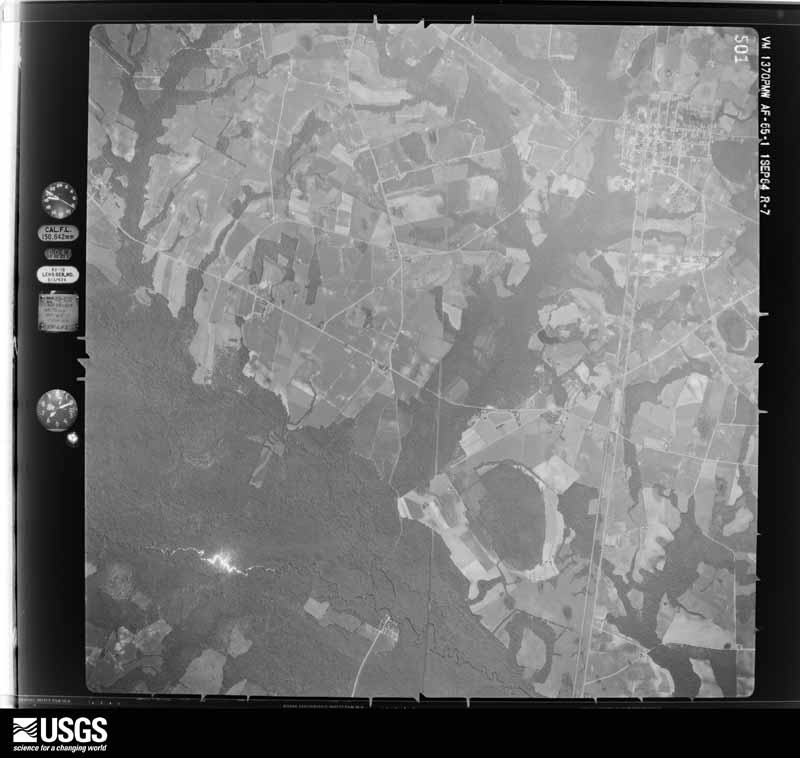
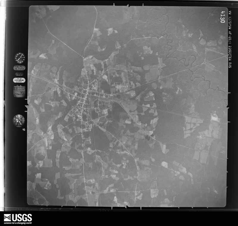
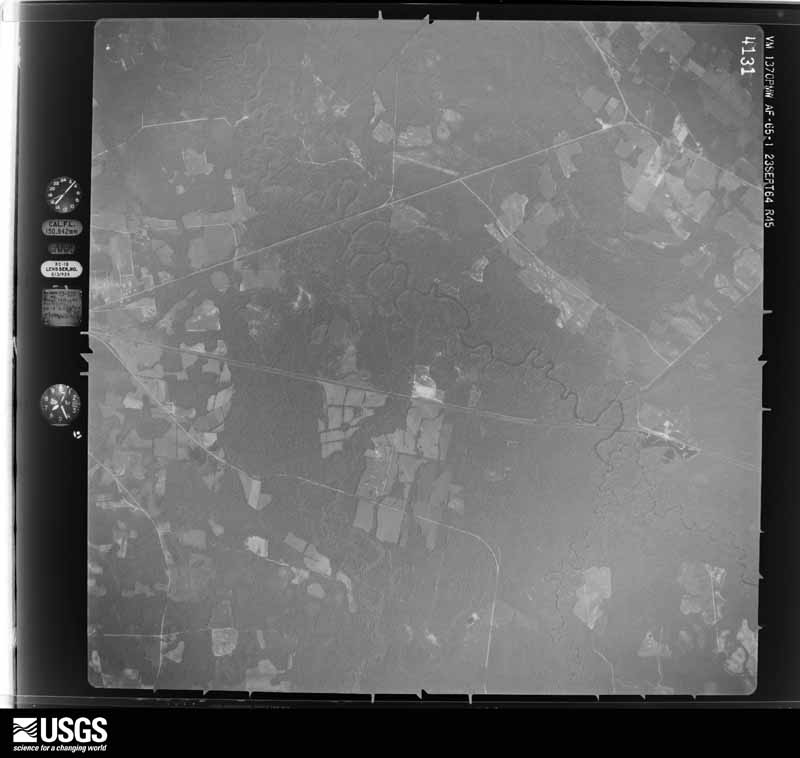




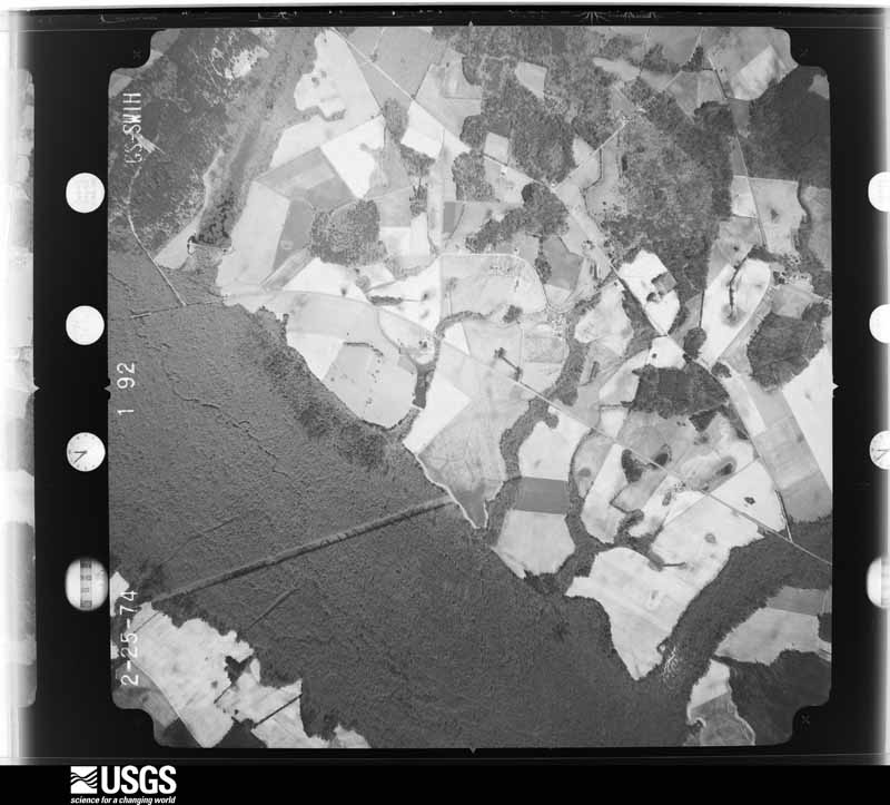

The thermometers that kept this county's weather, and the gages that measured the flow of its streams, as the federal records hold them. The extremes below are measured values from those records, not estimates.
Who lived here in 1950, one enumeration district at a time, as the Census Bureau described each district. Each row opens its official National Archives result, with Population Schedules and ED Maps available there.
Every wildfire the federal occurrence database records inside this county: 866 of them, burning about 4,389 acres. 34 started naturally and 69 were recorded as arson. Each settlement page carries the fires within five miles of it.
| Reported cause | Fires |
|---|---|
| Debris and open burning | 359 |
| Missing data/not specified/undetermined | 279 |
| Equipment and vehicle use | 72 |
| Arson/incendiarism | 69 |
| Natural | 34 |
| Smoking | 17 |
| Misuse of fire by a minor | 15 |
| Power generation/transmission/distribution | 13 |
| Other causes | 5 |
| Recreation and ceremony | 3 |
The five largest, by the area the report gives. One of them was set deliberately.
| Date | Cause | Size | Reported by | Name on the report |
|---|---|---|---|---|
| 5 April 2006 | Debris and open burning | 181 acres | South Carolina Forestry Commission | MILLIKEN |
| 15 April 2002 | Arson/incendiarism | 169 acres | South Carolina Forestry Commission | not named |
| 22 February 1994 | Missing data/not specified/undetermined | 150 acres | South Carolina Forestry Commission | not named |
| 25 March 1997 | Missing data/not specified/undetermined | 140 acres | South Carolina Forestry Commission | not named |
| 2 June 2019 | Natural | 67 acres | South Carolina Forestry Commission | not named |
| 1 February 2002 | Debris and open burning | 60 acres | South Carolina Forestry Commission | not named |
| 22 June 1994 | Missing data/not specified/undetermined | 60 acres | South Carolina Forestry Commission | not named |
| 19 July 2011 | Debris and open burning | 57 acres | South Carolina Forestry Commission | not named |
Every settlement page carries the fires within five miles of it - see the settlement index below.
The NOAA Storm Events Database holds 277 reports for this county, causing no deaths, 36 injuries and about $7,328,260 in recorded property damage. Each settlement page carries the reports that name it.
| Kind of event | Reports |
|---|---|
| Thunderstorm Wind | 169 |
| Hail | 68 |
| Tornado | 26 |
| Flash Flood | 11 |
| Lightning | 1 |
| Flood | 1 |
| Heavy Rain | 1 |
The most serious of them, by death, then injury, then recorded damage. The accounts are quoted exactly as the forecast office filed them.
| When | Event | Place named | Harm | What the report says |
|---|---|---|---|---|
| July 2012 | Hail | Olar | 30 hurt, $20,000 | Public reported golfball size hail in the Olar area. |
| April 1983 | Tornado (F3) | not stated | 4 hurt, $2,500,000 | no account filed |
| August 1994 | Tornado (F1) | Govan to | 1 hurt, $50,000 | Tornado touched down near intersection of Highways 64 and 301, moved north northwest to slightly north of Govan. The tornado was up and down many times topping trees. One mobile home was overturned and heavily damaged. |
| May 2008 | Hail | Olar | 1 hurt | Law enforcement tennis ball size hail. Storm survey found many homes had damage to siding, windows, and roofs. Auto and home windows were broken. One woman was injured by flying glass in her auto. Holes were in siding. Vehicles were badly dented. Crops were flattened and there was a blanket of leaves and pine needles that covered the ground and roadways. |
| August 2007 | Thunderstorm Wind | Ehrhardt | $2,500,000 | Edisto Electric reported several trees down on powerlines in Ehrhardt. |
| January 2024 | Tornado (EF2) | Bamberg | $1,800,000 | A National Weather storm survey team confirmed an EF2 tornado, with peak winds of|125 mph, in Bamberg SC. The tornado began 1.75 miles south of the City of Bamberg|along US Hwy 601, near Cry Baby Road.||Moving north, the tornado then proceeded to flip a mobile home and cause substantial|EF2 damage to a barrel plant at the intersection of US Hwy 601 and US Hwy 301. Door|and window failure contributed to the collapse of the middle section of the building|and partial collapse of the front section. The collapsed portions of the building were|tossed across Chevrolet St into a water tower.||The tornado continued north-northeast along US-301 causing widespread EF1 roof and|tree damage before moving into downtown Bamberg.||As the tornado entered downtown Bamberg, it strengthened to EF2 intensity and|caused substantial structural damage to a series of 2-3 story historic buildings just|south of the intersection of US Hwy 78 and US Hwy 301. The newer roof section of a|building on the west side of US Hwy 301 was thrown completely off onto the adjacent|structure. There was a complete collapse of the upper stories of two buildings on the|east side of US Hwy 301 with the corner torn off another. Preexisting missing portions|of the roof and gaps in the exterior wall of the former City Hall likely contributed to its|collapse due to wind intrusion. ||The tornado then moved north and quickly weakened as it crossed US Hwy 78 before|dissipating 0.4 miles north of downtown Bamberg along US Hwy 301.||The National Weather Service would like to thank wind engineers from the Insurance|Institute for Business and Home Safety for their expertise assisting with surveying|some of the structural damage. |
| July 2012 | Thunderstorm Wind | Bamberg | $80,000 | Times Democrat reported trees down in Bamberg. One fell on a home causing moderate damage and another destroyed a barbershop. |
| January 1995 | Thunderstorm Wind | Denmark and | $50,000 | Trees downed by winds in Denmark and Ehrhardt. |
| June 1951 | Tornado (F1) | not stated | $25,000 | no account filed |
| June 2010 | Thunderstorm Wind | Bamberg | $20,000 | Sheriff reported numerous trees down in Bamberg. |
| July 2010 | Thunderstorm Wind | Denmark | $18,000 | Sheriff reported many trees down from Denmark to Bamberg. |
| July 2012 | Thunderstorm Wind | Bamberg | $16,000 | Sheriff reported trees and powerlines down arcoss northern portions of the county. |
| August 1997 | Lightning | Olar | $15,000 | Garage was hit and destroyed by lightning. Contents included an automoblie, tractors, mowers, etc. |
| April 2011 | Thunderstorm Wind | Bamberg | $14,000 | The Highway Patrol reported several trees down in Bamberg. Media also reported a pet shelter had its roof partially torn off. |
| July 2012 | Thunderstorm Wind | Bamberg | $12,000 | Sheriff reported many trees and powerlines down in Bamberg with widespread outages in town. |
| June 2011 | Thunderstorm Wind | Bamberg | $12,000 | Dispatch reported trees down countrywide. |
| November 2011 | Thunderstorm Wind | Olar | $12,000 | Sheriff and NWS Storm Survey found trees down from Olar to Hwy 301 on Hwy 64. |
| July 2010 | Thunderstorm Wind | Bamberg | $12,000 | Sheriff reported trees down in the area of Charleston Augusta Highway as well as Govan and Voorhees. |
| July 1998 | Thunderstorm Wind | Bamberg | $12,000 | A home off Hunters Chapel Road had minor damage to the porch and roof and moderate damage to the carport. Trees were also down and debris from the carport was found 30 yds away. |
| September 2024 | Flash Flood | Bamberg | $10,000 | Bamberg County Government reported significant flooding along Hwy 301 in the town of Bamberg. |
| June 2010 | Thunderstorm Wind | Springtown | $10,000 | Sheriff reported trees down at Clear Pond road and Hwy 601. |
| June 2003 | Thunderstorm Wind | Ehrhardt | $10,000 | Newspaper reported trees down on a home and car in Ehrhardt. |
| August 2011 | Thunderstorm Wind | Govan | $8,000 | Bamberg Dispatch reported several trees and powerlines down near Hwy 321 in the town of Govan. |
| April 2013 | Thunderstorm Wind | Denmark | $6,000 | Dispatch reported trees down across the railroad tracks on Charleston Augusta Roan and Carolina Hwy. |
| June 2009 | Thunderstorm Wind | Olar | $6,000 | DOT reported trees down on hwys 321 and 64 in Govan and Olar. |
| October 2016 | Flash Flood | Embree | $5,000 | SCDOT reported Hickory Hill Road closed due to washout in the vicinity of Harrison Road. |
| June 2010 | Thunderstorm Wind | Govan | $5,000 | Sheriff reported trees down in Earhardt and on Thunder Road. |
| June 1995 | Thunderstorm Wind | Bamberg | $5,000 | Trees blown down and a transformer knocked out by winds. |
| June 2015 | Thunderstorm Wind | Ehrhardt | $4,000 | The Highway Patrol reported trees down along HWY 641 and Sycamore Drive. |
| June 2014 | Hail | Embree | $4,000 | Residents reported golf ball size hail during the storm. |
| June 2014 | Thunderstorm Wind | Midway | $4,000 | Trees down on Goose Bay Road and crop damage to corn and wheat fields from microburst winds. EM also reported a tree down on a powerlines on Goose Bay Road. |
| June 2014 | Hail | Midway | $4,000 | Resident reported golf ball size hail from the storm. |
| June 2014 | Thunderstorm Wind | Midway | $4,000 | Trees down on Goose Bay Road and crop damage to corn and wheat fields from microburst winds. EM also reported a tree down on a powerlines on Goose Bay Road. |
| June 2014 | Tornado (EF0) | Farrells Xrds | $4,000 | An EF0 Snapped off trees about 50 yards into the woods off of Turkey Cut Road southeast of Bamberg. Other scattered trees and large branches were down along and east of hwy 362...mainly on other rural roads. |
| June 2013 | Thunderstorm Wind | Ehrhardt | $4,000 | County Dispatch reported powerlines down between Erhardt and the Colleton County line along Hwy 601. |
| March 2013 | Thunderstorm Wind | Springtown | $4,000 | DOT reported several trees down along Hwy 301. |
| July 2013 | Flash Flood | Ott | $4,000 | County Dispatch reported portions of Hwy 78 between Denmark and Bamberg closed due to flooding, including Capernaum Road at Hwy 78. |
| July 2012 | Thunderstorm Wind | Bamberg | $4,000 | DOT reported a few trees down in the Bamberg area and over to Denmark. |
| July 2012 | Thunderstorm Wind | Springtown | $4,000 | Sheriff reported trees down on Ehrhardt Road between Hwy 301 and Olar. |
| July 2009 | Thunderstorm Wind | Bamberg | $4,000 | Sheriff reported trees down in Bamberg. |
| May 2009 | Flash Flood | Bamberg | $4,000 | Sheriff reported several roads flooded with 1 to 3 feet of water in Bamberg and the surrounding area. |
| July 2015 | Thunderstorm Wind | Lees | $3,000 | Highway Patrol reported trees down on U.S. 78 and Mt. Zion Road between Blackville and Denmark. |
| June 2015 | Thunderstorm Wind | Springtown | $3,000 | Dispatch reported trees down in the area of Clear Pond Road and Hwy 601. |
| March 2012 | Thunderstorm Wind | Bamberg | $3,000 | Several trees down in Bamberg. |
| May 2012 | Thunderstorm Wind | Denmark | $3,000 | Highway Patrol reported trees down along Hwy 321. |
| June 2011 | Thunderstorm Wind | Olar | $3,000 | Highway Patrol reported trees down on Low Country road. |
| August 2011 | Thunderstorm Wind | Olar | $3,000 | Sheriff reported trees down at the intersection of US 321 and Hwy 64. |
| August 2011 | Thunderstorm Wind | Schofield | $3,000 | DOT reported a few trees down on Rivers Bridge road southwest of Ehrhardt. |
| August 2011 | Thunderstorm Wind | Ehrhardt | $3,000 | Dispatch reported trees down on Kearse road. |
| September 2007 | Thunderstorm Wind | Ehrhardt | $3,000 | Edisto Electric Coop reported trees down on powerlines and also across the road on hwy 64. |
| July 2015 | Thunderstorm Wind | Olar | $2,000 | Dispatch reported a couple of trees down in the Olar area including Hwy 64. |
| July 2015 | Thunderstorm Wind | Schofield | $2,000 | Dispatch reported a couple of trees down on Crazy Horse Road near Olar. |
| September 2014 | Thunderstorm Wind | Ehrhardt | $2,000 | Utility company reported outages due to limbs on power lines. |
| September 2014 | Thunderstorm Wind | Ehrhardt | $2,000 | DOT reported a couple of trees down near the intersection of Low Country Hwy and Colston Road. |
| May 2012 | Thunderstorm Wind | Denmark | $2,000 | Sheriff reported trees and powerlines down on Butler Street in Denmark. Penny size hail also occurred on Hommens Bridge Road. |
| July 2010 | Thunderstorm Wind | Bamberg | $2,000 | Storm survey found several trees down along SC49 northwest of Bamberg. |
| August 2009 | Thunderstorm Wind | Bamberg | $2,000 | DOT reported trees down on hwy 645. |
| April 2007 | Tornado (EF0) | Springtown | $1,000 | An EF0 tracked across the rural roads taking down trees and a few powerlines in its path. |
| June 2011 | Thunderstorm Wind | Denmark | $500 | Highway Patrol reported a tree in the roadway along Hwy 70 west of Denmark. |
| April 1999 | Tornado (F0) | Midway | $500 | Damage survey confirmed an F0 tornado took down some trees and powerlines. |
The Survey's mineral resources record lists 6 workings inside this county. 2 still produce and 4 are closed or unrecorded. Each settlement page carries the workings within five miles of it.
| Commodity | Workings |
|---|---|
| Sand and Gravel, Construction | 4 |
| Limestone, General | 1 |
| Calcium | 1 |
The least common of them first, because a county's hundredth gravel pit says nothing its first ten did not.
| Where | Site | Commodity | Status | Recorded |
|---|---|---|---|---|
| Kirkland Mine | Limestone, General | Producer | 1981 | |
| Kirkland Pit | Calcium | Past Producer | ||
| Cleckley Pit | Sand and Gravel, Construction | Unknown | Sedimentary | |
| Embree Sand Pit | Sand and Gravel, Construction | Past Producer | Sedimentary | |
| Ila Smith | Sand and Gravel, Construction | Past Producer | 1981 | |
| Pit No. 2 | Sand and Gravel, Construction | Producer |
Named settlements recorded in the Geographic Names Information System, each with the topographic sheets covering it. Villages, hamlets and abandoned places alike. Each is shown with the nearest named watercourse or landform and the survey quadrangle it falls on. The 2 places that were also surveyed for fire insurance come first, with the number of atlases and photographs held for them.
Bamberg census division · 29003 · Bamberg quadrangle
15 sheets, 1919 to 1982
Fire insurance: 7 atlases
Denmark census division · 29042 · Denmark quadrangle
15 sheets, 1919 to 1982
Fire insurance: 5 atlases
Denmark census division · 29817 · On Snake Branch · Norway West quadrangle
14 sheets, 1919 to 1982
Bamberg census division · 29003 · On South Fork Edisto River · Midway quadrangle
18 sheets, 1920 to 1990
Bamberg census division · 29432 · Branchville South quadrangle
18 sheets, 1919 to 1990
Denmark census division · 29042 · On Stout Creek · Bamberg quadrangle
15 sheets, 1919 to 1982
Denmark census division · 29042 · Denmark quadrangle
15 sheets, 1919 to 1982
No longer a settlement
Olar census division · 29042 · Denmark quadrangle
15 sheets, 1919 to 1982
No longer a settlement
Ehrhardt census division · 29081 · On Colston Branch · Clear Pond quadrangle
15 sheets, 1919 to 1982
Denmark census division · 29042 · On Stout Creek · Bamberg quadrangle
15 sheets, 1919 to 1982
No longer a settlement
Denmark census division · 29042 · On Long Gall Branch · Denmark quadrangle
15 sheets, 1919 to 1982
No longer a settlement
Bamberg census division · 29003 · On Lemon Creek · Tony Hill Bay quadrangle
18 sheets, 1919 to 1990
No longer a settlement
Denmark census division · 29042 · Bamberg quadrangle
15 sheets, 1919 to 1982
No longer a settlement
Denmark census division · 29042 · On Sykes Swamp · Norway West quadrangle
14 sheets, 1919 to 1982
Bamberg census division · 29432 · Branchville South quadrangle
18 sheets, 1919 to 1990
The vanished settlements of Bamberg County: the places named above that are no longer on the map.
15 topographic sheets and 7 fire insurance atlases, 1894 to 1943
15 topographic sheets and 5 fire insurance atlases, 1908 to 1943
The complete index, with nothing left out. Each of these is a separate record with its own page: a federal survey report, or the case file that argued a property on to the National Register. Both are public domain and reproduced word for word.
The vanished settlements of Bamberg County, the places these records name that are no longer on the map.