 Block
Sharp, South Carolina
23 topographic sheets cover this place, the earliest surveyed in 1935 and the latest in 1986. It stands in the Blythewood census division. It lies in ZIP code area 29229. The Survey maps it on the Blythewood quadrangle.
Topographic sheets covering this place
13 surveys from 23 printed sheetsMatched by testing this settlement's coordinate against the published boundary of every sheet in the United States Geological Survey's historical collection. Each opens the scanned sheet at the Survey.
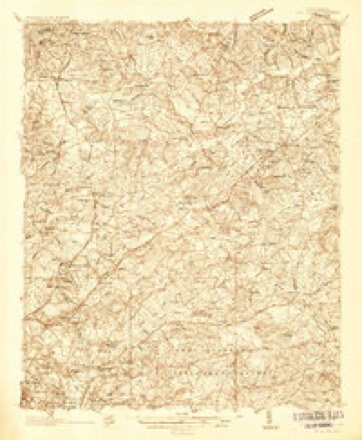
- 1935 USGS Killian quadrangle1:48000
- 1935 USGS Killian quadrangle1:62500
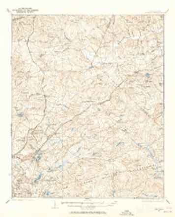
- 1937 USGS Killian quadrangle1:62500, 4 printings
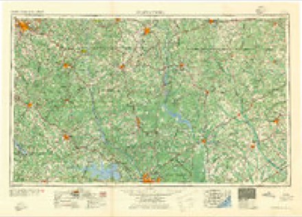
- 1941 USGS Spartanburg quadrangle1:250000
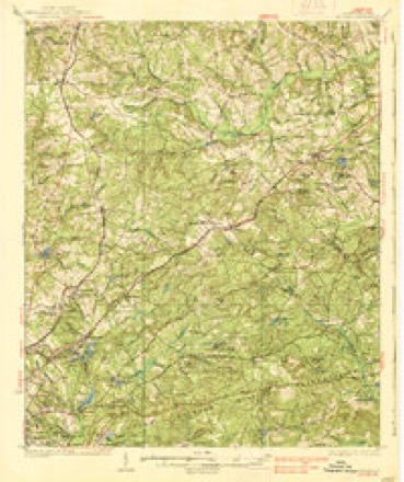
- 1942 USGS Camden quadrangle1:125000
- 1953 USGS Blythewood quadrangle1:24000
- 1953 USGS Spartanburg quadrangle1:250000, 4 printings
- 1960 USGS Spartanburg quadrangle1:250000, 2 printings
- 1963 USGS Spartanburg quadrangle1:250000
- 1964 USGS Spartanburg quadrangle1:250000
- 1971 USGS Blythewood quadrangle1:24000, 2 printings
- 1986 USGS Camden quadrangle1:100000, 2 printings
- 1986 USGS Camden South quadrangle1:100000, 2 printings

Fires near this place
162 since 1992Regional context, not property-specific evidence. The federal wildfire occurrence database lists 162 fires within 5 miles of Sharp between 1992 and 2020, burning about 870 acres in total. 1 started naturally. 17 were recorded as arson. Distance is straight-line from the map coordinates, so a fire counted here may appear on a neighbouring settlement's page as well.
| Reported cause | Fires |
|---|---|
| Missing data/not specified/undetermined | 65 |
| Debris and open burning | 34 |
| Misuse of fire by a minor | 28 |
| Arson/incendiarism | 17 |
| Smoking | 6 |
| Equipment and vehicle use | 5 |
| Railroad operations and maintenance | 3 |
| Recreation and ceremony | 2 |
| Natural | 1 |
| Other causes | 1 |
The most recent of them, most recent first, with the day each was reported and the service that recorded it.
| Date | Cause | Size | Reported by | Name on the report |
|---|---|---|---|---|
| 9 September 2016 | Misuse of fire by a minor | 3.0 acres | South Carolina Forestry Commission | not named |
| 30 September 2009 | Debris and open burning | under an acre | South Carolina Forestry Commission | not named |
| 30 September 2007 | Equipment and vehicle use | 10 acres | South Carolina Forestry Commission | not named |
| 30 September 2007 | Equipment and vehicle use | 7.0 acres | South Carolina Forestry Commission | not named |
| 30 September 2007 | Equipment and vehicle use | 5.0 acres | South Carolina Forestry Commission | not named |
| 26 September 2017 | Recreation and ceremony | 1.0 acres | South Carolina Forestry Commission | not named |
| 22 September 1999 | Debris and open burning | 3.5 acres | South Carolina Forestry Commission | not named |
| 22 September 1997 | Arson/incendiarism | 1.0 acres | South Carolina Forestry Commission | not named |
Settlements close enough to share some of these fires:
Mines and quarries near this place
9 within 5 milesRegional context, not property-specific evidence. The federal mineral resources record lists 9 workings within 5 miles of Sharp: 5 past producers, 3 producers, 1 unknown. 3 still produce. What was taken out: Sand and Gravel, Construction, Clay. Distance is straight-line from the map coordinates, so a quarry counted here may appear on a neighbouring settlement's page as well.
| Where | Site | Commodity | Status | Recorded |
|---|---|---|---|---|
| Carolina Ceramics Shale Pit | Clay | Past Producer | Metamorphic | |
| Haskell Clay Mine | Clay | Past Producer | Metamorphic | |
| Richland County Mines | Clay | Producer | ||
| Unidentified Clay Pit | Clay | Unknown | Sedimentary | |
| No. 2 Pit | Sand and Gravel, Construction | Producer | ||
| Pontiac Sand Mine | Sand and Gravel, Construction | Past Producer | Sedimentary | |
| Sand Plant | Sand and Gravel, Construction | Past Producer | ||
| Trip Construction Co. Sand Pit | Sand and Gravel, Construction | Producer | Sedimentary | |
| Trip Pit | Sand and Gravel, Construction | Past Producer |
Storms near this place
16 since 2008Regional context, not property-specific evidence. The National Weather Service names Sharp in 16 storm reports between 2008 and 2025: 11 thunderstorm wind, 2 tornado, 1 heavy rain, 1 lightning. The reports record 1 injury. Each account below is quoted exactly as the forecast office filed it, from the NOAA Storm Events Database, and each date opens the federal record of that event.
| When | Event | Place named | Harm | What the report says |
|---|---|---|---|---|
| August 2020 | Lightning | Sharp | 1 hurt | Lightning struck a home on Joshua Tree Ct and injured an individual inside. |
| April 2015 | Thunderstorm Wind | Sharp | $6,000 | Highway Patrol reported trees down near the intersection of Longtown Road and Holly Ridge Lane. |
| August 2009 | Thunderstorm Wind | Sharp | $6,000 | DOT reported trees down in the Blythewood area around Fulmer road, McNutty road, and Oak Hills road. |
| August 2024 | Flash Flood | Sharp | $5,000 | Columbia Fire responded to a vehicle caught in floodwaters along Fulmer Rd near Beasley Creek. |
| June 2025 | Thunderstorm Wind | Sharp | - | Richland County EM reported a tree on a power line causing a brush fire. Time estimated by radar. |
| February 2024 | Thunderstorm Wind | Sharp | - | SC DOT reported down tree in roadway on J C Trapp Rd. Time estimated. |
| May 2024 | Thunderstorm Wind | Sharp | - | SCDPS website reported a tree in the roadway on Community Road. Time estimated by radar. |
| August 2024 | Thunderstorm Wind | Sharp | - | Large tree uprooted at the Columbia Country Club. Time estimated by radar. |
| August 2024 | Thunderstorm Wind | Sharp | - | Highway patrol reported a large tree fell and took down power lines on US-21 at I-77. |
| July 2020 | Thunderstorm Wind | Sharp | - | SCHP reported trees in roadway at Longreen Pkwy and Heather Green Dr. Time estimated. |
| April 2020 | Tornado (EF1) | Sharp | - | A strong EF-1 tornado began near the intersection of Lee Road and Trowbridge Road. The tornado continued northeast for just under 5 miles. The tornado crossed Hard Scrabble Road, Kelly Mill Road, Langford Road and dissipated near Heins Road. The maximum estimated wind speed associated with the tornado was 105 mph. ||Much of the damage along the path of the tornado was tree damage. There were numerous trees that had been snapped, uprooted or suffered damage to branches. There were several homes that suffered minor roof damage to roofing materials, such as shingles, along with damage to soffit and fascia on the exterior of structures. Some of the most extensive tree damage occurred just off Langford Road near the Hunters Run neighborhood. There were also several large trees, both hardwood and softwood, that were snapped and uprooted along Kelly Mill Road near the Crickentree neighborhood. This is across the street from Lake Carolina Elementary Upper Campus. Along Ejw Road, across the street from Lake Carolina Elementary Lower Campus, there were several trees that has fallen across the roadway and been cleared. Additionally, along Ejw Road, there were a few trees either snapped, uprooted or with significant branch damage before the road crossed Round Top Branch. Several trees were uprooted along the entrance to Crickentree on Crickentree Drive. |
| June 2019 | Thunderstorm Wind | Sharp | - | A line of severe thunderstorms produced widespread damaging winds over a large swath, downing numerous trees. |
| July 2018 | Thunderstorm Wind | Sharp | - | SCHP reported tree in roadway on Sweet Knoll Ct. Time estimated. |
| June 2015 | Thunderstorm Wind | Sharp | - | Public reported 60mph wind gust at Lake Carolina. |
| August 2014 | Heavy Rain | Sharp | - | RCWINDS rain gage at Elders Pond measured 3.07 inches of rain in about an hour. |
| March 2008 | Tornado (EF1) | Sharp | - | The Emergency Manager and broadcast media reported numerous trees and powerlines down along with many homes damaged at the Columbia Country Club and Lake Carolina area. Roofs were torn off a couple of homes and others were partially torn off. |
Nearest settlements
The eight closest, with where each one stands in the county. Distances are straight-line, computed from the Geographic Names Information System coordinates.
| Map | Place | Distance | Sheets |
|---|---|---|---|
| North Pines | 2.2 miles | 23 | |
| Killian | 2.5 miles | 23 | |
| Blythewood | 3.0 miles | 23 | |
| Langfords Crossroads | 3.3 miles | 23 | |
| Rose Creek | 3.5 miles | 23 | |
| Clear Springs | 3.8 miles | 24 | |
| North Washington Park | 3.9 miles | 24 | |
| State Park Acres | 3.9 miles | 24 |
Provenance
This settlement is recorded in the Geographic Names Information System as feature 1231795. The sheet list is computed by point-in-boundary test against the United States Geological Survey's historical topographic inventory. Both are works of the United States government and carry no copyright under 17 U.S.C. 105.
Wildfire. Short, Karen C. 2022. Spatial wildfire occurrence data for the United States, 1992-2020 [FPA_FOD_20221014]. 6th Edition. Fort Collins, CO: Forest Service Research Data Archive. https://doi.org/10.2737/RDS-2013-0009.6 Collected with United States Government funding and usable without additional permissions or fees.
Mines and quarries. USGS Mineral Resources Data System (MRDS) https://mrdata.usgs.gov/mrds/ A work of the United States government, no copyright under 17 U.S.C. 105.
Storms. NOAA National Centers for Environmental Information, Storm Events Database https://www.ncei.noaa.gov/stormevents/ A work of the United States government, no copyright under 17 U.S.C. 105. Narratives are quoted verbatim from the National Weather Service report and are not edited or summarised.