 Block
Snowden, South Carolina
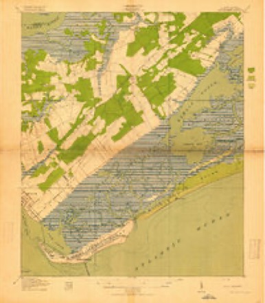
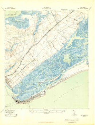
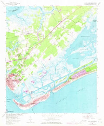
17 topographic sheets cover this place, the earliest surveyed in 1919 and the latest in 1990. It stands in the Mount Pleasant census division. It lies in ZIP code area 29464. The Survey maps it on the Fort Moultrie quadrangle.
Topographic sheets covering this place
8 surveys from 17 printed sheetsMatched by testing this settlement's coordinate against the published boundary of every sheet in the United States Geological Survey's historical collection. Each opens the scanned sheet at the Survey.
- 1919 USGS Fort Moultrie quadrangle1:21120, 3 printings
- 1943 USGS Fort Moultrie quadrangle1:24000, 2 printings
- 1948 USGS James Island quadrangle1:250000, 2 printings
- 1959 USGS Fort Moultrie quadrangle1:24000, 5 printings
- 1968 USGS James Island quadrangle1:250000
- 1969 USGS James Island quadrangle1:250000, 2 printings
- 1986 USGS James Island quadrangle1:100000
- 1990 USGS James Island quadrangle1:100000
Fires near this place
107 since 1992Regional context, not property-specific evidence. The federal wildfire occurrence database lists 107 fires within 5 miles of Snowden between 1992 and 2015, burning about 919 acres in total. 2 started naturally. 18 were recorded as arson. Distance is straight-line from the map coordinates, so a fire counted here may appear on a neighbouring settlement's page as well.
| Reported cause | Fires |
|---|---|
| Missing data/not specified/undetermined | 50 |
| Debris and open burning | 32 |
| Arson/incendiarism | 18 |
| Misuse of fire by a minor | 3 |
| Natural | 2 |
| Power generation/transmission/distribution | 1 |
| Equipment and vehicle use | 1 |
The most recent of them, most recent first, with the day each was reported and the service that recorded it.
| Date | Cause | Size | Reported by | Name on the report |
|---|---|---|---|---|
| 21 August 1995 | Missing data/not specified/undetermined | 35 acres | South Carolina Forestry Commission | not named |
| 13 August 1995 | Missing data/not specified/undetermined | 12 acres | South Carolina Forestry Commission | not named |
| 1 August 1993 | Missing data/not specified/undetermined | 1.0 acres | South Carolina Forestry Commission | not named |
| 2 July 1996 | Missing data/not specified/undetermined | 45 acres | South Carolina Forestry Commission | not named |
| 14 July 1992 | Missing data/not specified/undetermined | under an acre | South Carolina Forestry Commission | not named |
| 10 July 1998 | Natural | 7.0 acres | South Carolina Forestry Commission | not named |
| 1 July 1996 | Missing data/not specified/undetermined | 2.0 acres | South Carolina Forestry Commission | not named |
| 9 June 1993 | Missing data/not specified/undetermined | 8.0 acres | South Carolina Forestry Commission | not named |
Settlements close enough to share some of these fires:
Mines and quarries near this place
6 within 5 milesRegional context, not property-specific evidence. The federal mineral resources record lists 6 workings within 5 miles of Snowden: 3 past producers, 2 producers, 1 unknown. 2 still produce. What was taken out: Sand and Gravel, Construction, Sand and Gravel, Construction, Clay, Clay. Distance is straight-line from the map coordinates, so a quarry counted here may appear on a neighbouring settlement's page as well.
| Where | Site | Commodity | Status | Recorded |
|---|---|---|---|---|
| Island Pit | Sand and Gravel, Construction, Clay | Unknown | Sedimentary | |
| Island Pit | Sand and Gravel, Construction, Clay | Producer | ||
| East Copper #1 | Sand and Gravel, Construction | Past Producer | Sedimentary | |
| R & L Pit | Sand and Gravel, Construction | Past Producer | Sedimentary | |
| Shell Point (Mt. Pleasant Pit) | Sand and Gravel, Construction | Producer | Sedimentary | |
| Yaupon Pit | Sand and Gravel, Construction | Past Producer | Sedimentary |
Storms near this place
21 since 2007Regional context, not property-specific evidence. The National Weather Service names Snowden in 21 storm reports between 2007 and 2025: 8 hail, 7 thunderstorm wind, 6 flash flood. The reports record 1 death. Each account below is quoted exactly as the forecast office filed it, from the NOAA Storm Events Database, and each date opens the federal record of that event.
| When | Event | Place named | Harm | What the report says |
|---|---|---|---|---|
| December 2023 | Flash Flood | Snowden | 1 killed | The media reported a vehicle fully submerged in flood waters along Omni Boulevard, trapping and drowning a 72 year old female. |
| September 2013 | Thunderstorm Wind | Snowden | $6,000 | A NWS storm survey team found straight line wind damage with winds estimated between 60 to 70 mph. Two palmetto trees were snapped. One four inch oak limb was also snapped. A pool awning collapsed and a trampoline was tossed 300 feet. A weather vane was blown off the top of a barn roof. A kids plastic play house was broken and a patio table and chairs were blown 30 feet and broken. No damage was seen to the primary house. |
| April 2007 | Thunderstorm Wind | Snowden | $2,500 | A large tree was reported down on a powerline off of Highway 41 near the Dunes West Subdivision. |
| June 2025 | Thunderstorm Wind | Snowden | - | A Charleston County emergency manager reported a tree down on Long Point Rd. |
| August 2025 | Flash Flood | Snowden | - | Emergency management reported flash flooding on Long Point Road near Belle Point Drive. |
| April 2022 | Thunderstorm Wind | Snowden | - | A National Weather Service employee reported several trees and branches down along Hungryneck Boulevard near the Isle Of Palms Connector. The employee also reported part of a gas station awning collapsed. |
| April 2022 | Thunderstorm Wind | Snowden | - | A National Weather Service employee reported trees down along Tea Planters Lane near the intersection with Six Mile Road. |
| June 2021 | Hail | Snowden | - | The media reported quarter size hail near the intersection of Rifle Range Road and the IOP Connector. |
| August 2019 | Thunderstorm Wind | Snowden | - | Broadcast media relayed a report via social media of a tree down on Red Tide Road. |
| July 2018 | Hail | Snowden | - | A trained spotter reported hail up to three quarters of an inch in diameter. |
| July 2018 | Hail | Snowden | - | Hail up to the size of quarters was reported in the Mount Pleasant Town Center area. |
| August 2018 | Thunderstorm Wind | Snowden | - | The police reported a tree down and blocking part of the road on U.S. Highway 17 near the intersection with Mathis Ferry Road in Mount Pleasant. |
| April 2017 | Hail | Snowden | - | A report was received through Twitter of dime to penny size hail near the Isle Of Palms Connector. |
| June 2013 | Flash Flood | Snowden | - | Law enforcement reported Farm Quarter Road in Snee Farm subdivision closed due to flooding. |
| September 2013 | Hail | Snowden | - | The media relayed a photo of an individual holding a quarter size piece of hail. |
| December 2009 | Flash Flood | Snowden | - | A National Weather Service employee reported portions of Long Point Road closed due to heavy rain. |
| December 2009 | Flash Flood | Snowden | - | Road closures were reported along Long Point Road and in Snee Farm subdivision around marsh areas. |
| May 2008 | Hail | Snowden | - | A trained weather spotter reported slightly larger than quarter size hail at the Jones Recreation Center off of Egypt Road in Mount Pleasant, South Carolina. |
| May 2008 | Hail | Snowden | - | A trained weather spotter reported quarter size hail 3 miles north-northeast of Mount Pleasant, South Carolina. |
| May 2008 | Hail | Snowden | - | A trained weather spotter reported nickel size hail on Rifle Range Road in Mount Pleasant, South Carolina. |
| October 2008 | Flash Flood | Snowden | - | A National Weather Service employee reported a road closure along Long Point Road due to high water between the intersection of Whipple Road and the entrance to Boone Hall Plantation in Mount Pleasant, South Carolina. |
Nearest settlements
The eight closest, with where each one stands in the county. Distances are straight-line, computed from the Geographic Names Information System coordinates.
| Map | Place | Distance | Sheets |
|---|---|---|---|
| Wando Estates | 0.9 miles | 17 | |
| Point Pleasant | 1.6 miles | 17 | |
| Somerset Point | 1.7 miles | 17 | |
| Parish Place | 1.7 miles | 17 | |
| Palmetto Fort | 2.1 miles | 17 | |
| Seaside Farms Estates | 2.4 miles | 17 | |
| I'On | 2.4 miles | 18 | |
| The Village | 2.4 miles | 17 |
Provenance
This settlement is recorded in the Geographic Names Information System as feature 1226734. The sheet list is computed by point-in-boundary test against the United States Geological Survey's historical topographic inventory. Both are works of the United States government and carry no copyright under 17 U.S.C. 105.
Wildfire. Short, Karen C. 2022. Spatial wildfire occurrence data for the United States, 1992-2020 [FPA_FOD_20221014]. 6th Edition. Fort Collins, CO: Forest Service Research Data Archive. https://doi.org/10.2737/RDS-2013-0009.6 Collected with United States Government funding and usable without additional permissions or fees.
Mines and quarries. USGS Mineral Resources Data System (MRDS) https://mrdata.usgs.gov/mrds/ A work of the United States government, no copyright under 17 U.S.C. 105.
Storms. NOAA National Centers for Environmental Information, Storm Events Database https://www.ncei.noaa.gov/stormevents/ A work of the United States government, no copyright under 17 U.S.C. 105. Narratives are quoted verbatim from the National Weather Service report and are not edited or summarised.