 Block
Springfield, South Carolina
15 topographic sheets cover this place, the earliest surveyed in 1923 and the latest in 1982. It stands in the Springfield census division. It lies in ZIP code area 29146. The Survey maps it on the Springfield quadrangle. 455 people lived here at the 2020 count. It stands 302 feet above sea level.
On record in Springfield
Buildings and businesses the archive holds for this place. Each opens its own page, with the source record it came from.
On the National Register 1 record
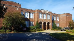 Springfield High Schoollisted 2001
Population over time
3 figuresSpringfield fell from 504 to 455 between 2000 and 2020. These are the recorded population figures Wikidata holds for this place, reached through the Geographic Names Information System number this page is keyed on rather than by name, so they belong to this place and not to another of the same name. Most are census counts, but not all are: an early figure may be a founding or settlement estimate, and an estimate published within five years of a census is left out. The change column is computed, and is left blank where more than 20 years separate a figure from the one before it, because a gap that long is not a change between two counts.
| Year | People | Change |
|---|---|---|
| 2000 | 504 | |
| 2010 | 524 | +20 (+4%) |
| 2020 | 455 | -69 (-13%) |
Topographic sheets covering this place
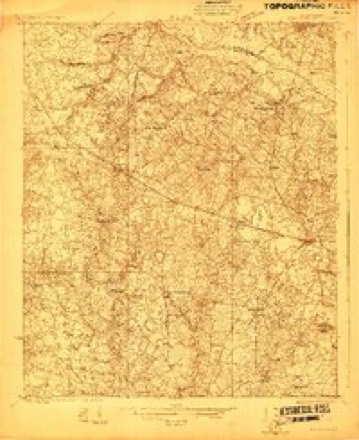
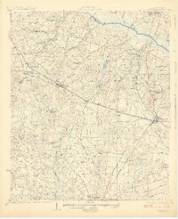
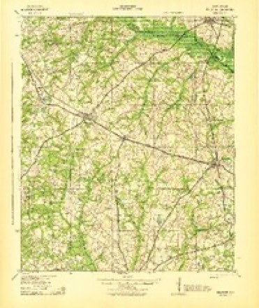
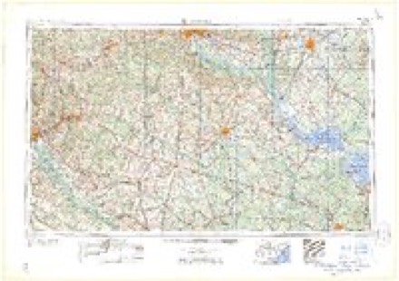
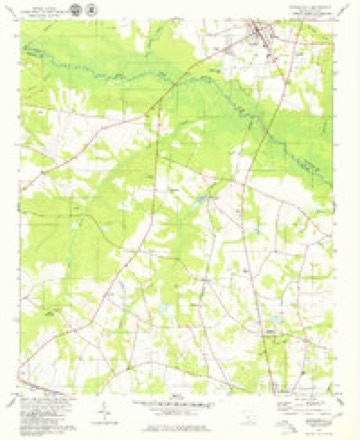
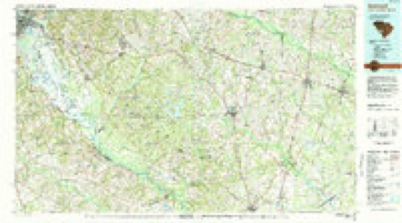
10 surveys from 15 printed sheetsMatched by testing this settlement's coordinate against the published boundary of every sheet in the United States Geological Survey's historical collection. Each opens the scanned sheet at the Survey.
- 1923 USGS Williston quadrangle1:48000
- 1927 USGS Williston quadrangle1:62500, 2 printings
- 1943 USGS Williston quadrangle1:62500, 2 printings
- 1954 USGS Augusta quadrangle1:250000
- 1957 USGS Augusta quadrangle1:250000, 3 printings
- 1958 USGS Augusta quadrangle1:250000
- 1961 USGS Augusta quadrangle1:250000, 2 printings
- 1962 USGS Augusta quadrangle1:250000
- 1979 USGS Springfield quadrangle1:24000
- 1982 USGS Barnwell quadrangle1:100000
Photographs
1 photograph,Taken for the Office of War Information and the Farm Security Administration, who photographed the country between 1935 and 1944. Works of United States government photographers, with no known restriction on use. Each opens its catalogue record.
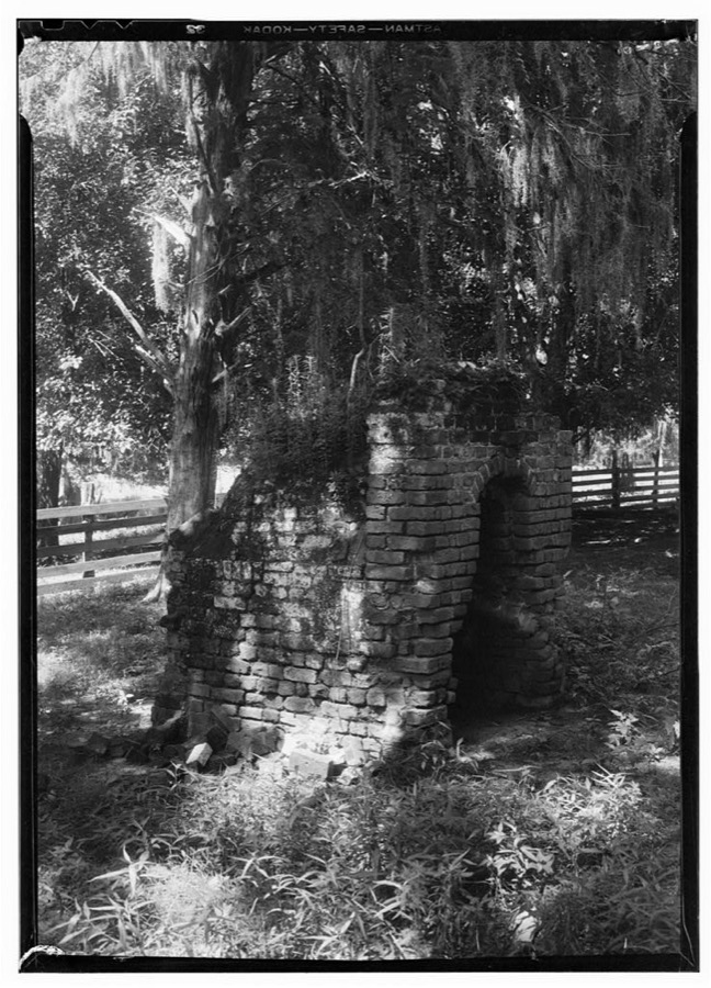
Photographer not recorded. Library of Congress
Fires near this place
112 since 1992Regional context, not property-specific evidence. The federal wildfire occurrence database lists 112 fires within 5 miles of Springfield between 1992 and 2019, burning about 1,058 acres in total. 4 started naturally. 13 were recorded as arson. Distance is straight-line from the map coordinates, so a fire counted here may appear on a neighbouring settlement's page as well.
| Reported cause | Fires |
|---|---|
| Debris and open burning | 41 |
| Missing data/not specified/undetermined | 32 |
| Arson/incendiarism | 13 |
| Equipment and vehicle use | 12 |
| Misuse of fire by a minor | 5 |
| Natural | 4 |
| Power generation/transmission/distribution | 2 |
| Smoking | 2 |
| Other causes | 1 |
The most recent of them, most recent first, with the day each was reported and the service that recorded it.
| Date | Cause | Size | Reported by | Name on the report |
|---|---|---|---|---|
| 9 September 1997 | Debris and open burning | 4.0 acres | South Carolina Forestry Commission | not named |
| 6 September 2010 | Debris and open burning | 4.0 acres | South Carolina Forestry Commission | not named |
| 20 September 2019 | Debris and open burning | 5.0 acres | South Carolina Forestry Commission | not named |
| 11 September 1999 | Missing data/not specified/undetermined | 1.0 acres | South Carolina Forestry Commission | not named |
| 10 September 2002 | Debris and open burning | 7.0 acres | South Carolina Forestry Commission | not named |
| 27 August 2014 | Debris and open burning | 2.0 acres | South Carolina Forestry Commission | not named |
| 6 July 1998 | Arson/incendiarism | under an acre | South Carolina Forestry Commission | not named |
| 30 July 2019 | Debris and open burning | 4.0 acres | South Carolina Forestry Commission | not named |
Settlements close enough to share some of these fires:
Storms near this place
37 since 1995Regional context, not property-specific evidence. The National Weather Service names Springfield in 37 storm reports between 1995 and 2025: 23 thunderstorm wind, 11 hail, 2 tornado, 1 flash flood. The reports record 2 deaths and 7 injuries. Each account below is quoted exactly as the forecast office filed it, from the NOAA Storm Events Database, and each date opens the federal record of that event.
| When | Event | Place named | Harm | What the report says |
|---|---|---|---|---|
| April 2020 | Tornado (EF3) | Springfield | 2 killed, 7 hurt | A strong, long-track tornado began just south of the town of Elko in Barnwell Co SC where it was rated as EF-1, then moved in a general northeast direction through Orangeburg Co SC, where it reached EF-3 intensity and caused 2 fatalities and 7 injuries. The tornado dissipated shortly after crossing into Calhoun Co SC southwest of St. Matthews before reaching I-26. ||The tornado downed numerous trees along its path. It crossed Norway Rd where it snapped multiple power poles. As the tornado reached Fire Tower Rd west of Neeses, it intensified further, destroying 3 anchored manufactured homes on Preserver Rd near Ninety Six Rd. It was in this area that the 2 known fatalities occurred to residents in a double-wide manufactured home. ||The tornado then turned more eastward, crossing Savannah Hwy (US Hwy 321) and Dragstrip Rd north of Livingston. There were several homes or manufactured homes that were heavily damaged or destroyed in this area. The tornado gradually weakened as it crossed North Rd (US Hwy 178) and crossed into Calhoun Co. |
| June 1995 | Thunderstorm Wind | Springfield | $5,000 | Power lines blown down by wind, also marble-size hail reported. |
| June 2010 | Thunderstorm Wind | Springfield | $4,000 | Post Office reported several trees down on Furtick road just west of Springfield. |
| July 2013 | Thunderstorm Wind | Springfield | $3,000 | Highway Patrol reported trees down near the intersection of SC Hwy 4 and Norway Road. |
| June 2011 | Thunderstorm Wind | Springfield | $3,000 | Dispatch reported trees down on Dr. Boyleton road. |
| August 2015 | Thunderstorm Wind | Springfield | $2,000 | Dispatch reported powerlines down in Springfield. |
| June 2011 | Thunderstorm Wind | Springfield | $1,000 | Dispatch reoprted a powerline down on Goodland Drive. |
| August 2010 | Thunderstorm Wind | Springfield | $1,000 | Sheriff reported a couple of trees down on Springfield road and Buffalo Pond road near Capital Hwy. |
| June 2025 | Thunderstorm Wind | Springfield | - | Orangeburg County EM Reported trees down at 1400 Springfield Rd. Time estimated based on radar. |
| May 2024 | Thunderstorm Wind | Springfield | - | SCDPS website reported a tree on the roadway on SC-3. Time estimated by radar. |
| November 2024 | Flash Flood | Springfield | - | SC Dept. of Public Safety reports roadway flooding on Springfield Road near the intersection of Skyland Dr. Time estimated from radar. |
| August 2023 | Thunderstorm Wind | Springfield | - | Orangeburg County Dispatch reported a tree down along Firetower Road. |
| June 2022 | Thunderstorm Wind | Springfield | - | Orangeburg Co EM reported a tree down in Springfield at Hwy 3 and Hwy 4. Time estimated. |
| June 2022 | Thunderstorm Wind | Springfield | - | Orangeburg Co EM reported a tree down in Springfield on Sycamore St and Hwy 39. | Time estimated. |
| June 2020 | Thunderstorm Wind | Springfield | - | Tree in roadway at Springfield Rd and Gleaton Circle. Time estimated. |
| June 2020 | Thunderstorm Wind | Springfield | - | Tree in roadway at Pig Pen Landing Rd and Capital Way. Time estimated. |
| June 2020 | Thunderstorm Wind | Springfield | - | Tree in roadway at Asia Fulmer Court. Time estimated. |
| April 2020 | Tornado (EF1) | Springfield | - | A strong, long-track tornado began in Aiken Co SC, within the boundaries of the Savannah River Site, then moved in a general northeast direction. While in Aiken Co, the tornado was rated EF-3. The tornado then crossed into N Barnwell Co SC. While in Barnwell Co, the tornado was rated as EF-1. The tornado continued moving NE and crossed into Orangeburg Co SC, where it dissipated near the town of Neeses. ||While in Orangeburg Co, the tornado was rated as EF-1. The tornado uprooted many large trees in the town of Springfield, some of which fell on homes and one on a church. The tornado then crossed the path of another tornado near Fire Tower Rd and Starwood Dr. Several homes along Fire Tower Rd had extensive roof and front porch damage. Multiple trees were down along Ninety Six Rd, with one of them falling on a house. The tornado finally dissipated east of Ninety Six Rd just before reaching the Neeses town limits. |
| July 2016 | Thunderstorm Wind | Springfield | - | Numerous trees down near the town of Springfield, especially at the intersection of SC Hwy 3 and SC Hwy 4 near the flea market. |
| July 2016 | Hail | Springfield | - | Golf ball size hail on Edisto Street in Springfield. |
| June 2015 | Hail | Springfield | - | Public reported 1 inch hail 3 miles northeast of Springfield. |
| May 2008 | Hail | Springfield | - | Public reported nickel size hail. |
| August 2008 | Hail | Springfield | - | Public reported quarter size hail at convenience store in Springfield. Large tree limbs were also reported down along Highway 39. |
| June 2005 | Hail | Springfield | - | Post Office reported penny size hail. |
| June 2005 | Thunderstorm Wind | Springfield | - | Utility company reported trees and powerlines down and power outages. |
| May 2005 | Hail | Springfield | - | EM reported quarter size hail. |
| May 2005 | Hail | Springfield | - | Post Office reported 3/4 inch hail. |
| September 2004 | Thunderstorm Wind | Springfield | - | Sheriff reported trees down in the western part of the county. |
| April 2000 | Thunderstorm Wind | Springfield | - | Sheriff reported large tree branches and powerlines down. |
| May 1998 | Thunderstorm Wind | Springfield | - | EOC reported trees down from Springfield to North. |
| July 1998 | Thunderstorm Wind | Springfield | - | Highway Patrol reported trees down in Springfield on Highway 3. |
| July 1998 | Thunderstorm Wind | Springfield | - | State Highway Patrol reported couple trees down on highway 3. |
| April 1997 | Hail | Springfield | - | no account filed |
| May 1996 | Thunderstorm Wind | Springfield | - | no account filed |
| June 1996 | Hail | Springfield | - | no account filed |
| July 1996 | Hail | Springfield | - | no account filed |
| March 1996 | Hail | Springfield | - | no account filed |
Nearest settlements
The eight closest, with where each one stands in the county. Distances are straight-line, computed from the Geographic Names Information System coordinates.
| Map | Place | Distance | Sheets |
|---|---|---|---|
| Sawyerdale | 7.0 miles | 13 | |
| Neeses | 8.6 miles | 13 | |
| Norway | 8.7 miles | 14 | |
| Livingston | 9.4 miles | 13 | |
| Creco (historical) | 9.5 miles | 14 | |
| Waynor (historical) | 9.8 miles | 14 | |
| Boiling Spring (historical) | 10.0 miles | 13 | |
| Pine Hill | 12.4 miles | 13 |
Elsewhere
Matched on this settlement's Geographic Names Information System number rather than its name, so it cannot be a different place of the same name in another state.
| Wikipedia article on Springfield | An encyclopaedic summary. Its text is share-alike, so it is linked here rather than copied. |
| Wikidata item Q546025 | The structured record the population and elevation above come from. Public domain (CC0). |
Provenance
This settlement is recorded in the Geographic Names Information System as feature 1226837. The sheet list is computed by point-in-boundary test against the United States Geological Survey's historical topographic inventory. Both are works of the United States government and carry no copyright under 17 U.S.C. 105.
Wildfire. Short, Karen C. 2022. Spatial wildfire occurrence data for the United States, 1992-2020 [FPA_FOD_20221014]. 6th Edition. Fort Collins, CO: Forest Service Research Data Archive. https://doi.org/10.2737/RDS-2013-0009.6 Collected with United States Government funding and usable without additional permissions or fees.
Storms. NOAA National Centers for Environmental Information, Storm Events Database https://www.ncei.noaa.gov/stormevents/ A work of the United States government, no copyright under 17 U.S.C. 105. Narratives are quoted verbatim from the National Weather Service report and are not edited or summarised.