 Block
Stalvey, South Carolina
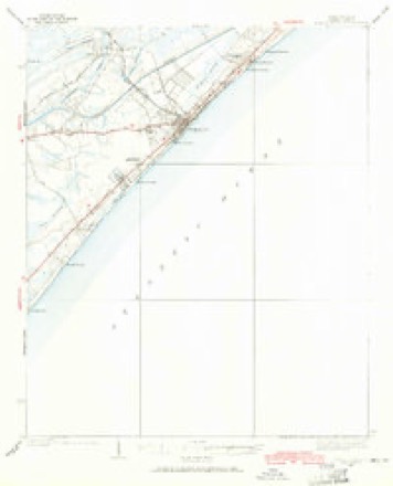
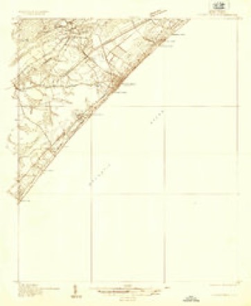
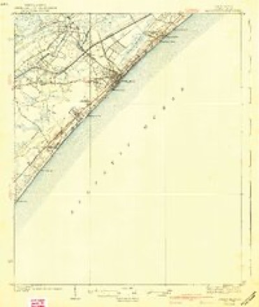
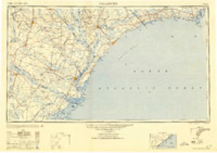
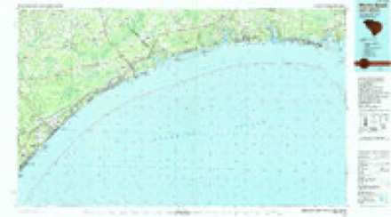
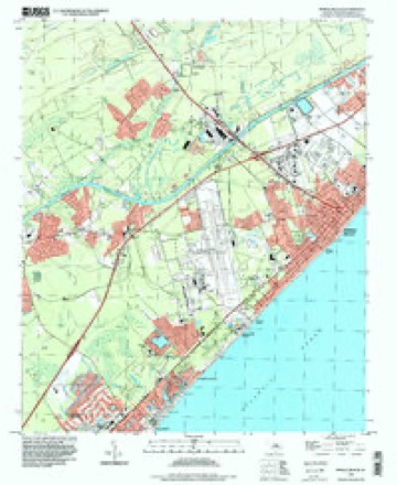
14 topographic sheets cover this place, the earliest surveyed in 1937 and the latest in 1994. It stands in the Myrtle Beach census division. It lies in ZIP code area 29588. It stands on Socastee Swamp. The Survey maps it on the Myrtle Beach quadrangle.
Topographic sheets covering this place
10 surveys from 14 printed sheetsMatched by testing this settlement's coordinate against the published boundary of every sheet in the United States Geological Survey's historical collection. Each opens the scanned sheet at the Survey.
- 1937 USGS Myrtle Beach quadrangle1:62500, 2 printings
- 1937 USGS Myrtle Beach quadrangle1:48000
- 1940 USGS Myrtle Beach quadrangle1:62500, 3 printings
- 1949 USGS Georgetown quadrangle1:250000
- 1967 USGS Georgetown quadrangle1:250000
- 1974 USGS Georgetown quadrangle1:250000, 2 printings
- 1984 USGS Myrtle Beach quadrangle1:24000
- 1986 USGS Myrtle Beach quadrangle1:100000
- 1990 USGS Myrtle Beach quadrangle1:100000
- 1994 USGS Myrtle Beach quadrangle1:24000
Fires near this place
180 since 1992Regional context, not property-specific evidence. The federal wildfire occurrence database lists 180 fires within 5 miles of Stalvey between 1992 and 2020, burning about 3,445 acres in total. 3 started naturally. 38 were recorded as arson. Distance is straight-line from the map coordinates, so a fire counted here may appear on a neighbouring settlement's page as well.
| Reported cause | Fires |
|---|---|
| Missing data/not specified/undetermined | 55 |
| Debris and open burning | 41 |
| Arson/incendiarism | 38 |
| Misuse of fire by a minor | 30 |
| Recreation and ceremony | 6 |
| Equipment and vehicle use | 5 |
| Natural | 3 |
| Power generation/transmission/distribution | 1 |
| Smoking | 1 |
The most recent of them, most recent first, with the day each was reported and the service that recorded it.
| Date | Cause | Size | Reported by | Name on the report |
|---|---|---|---|---|
| 27 September 2007 | Arson/incendiarism | 2.8 acres | South Carolina Forestry Commission | not named |
| 26 September 2001 | Misuse of fire by a minor | under an acre | South Carolina Forestry Commission | not named |
| 3 August 2001 | Debris and open burning | 1.5 acres | South Carolina Forestry Commission | not named |
| 28 August 2001 | Debris and open burning | 1.0 acres | South Carolina Forestry Commission | not named |
| 27 August 1997 | Arson/incendiarism | 20 acres | South Carolina Forestry Commission | not named |
| 21 August 2005 | Missing data/not specified/undetermined | under an acre | South Carolina Forestry Commission | not named |
| 2 August 2015 | Misuse of fire by a minor | 4.0 acres | South Carolina Forestry Commission | not named |
| 19 August 2007 | Debris and open burning | 1.0 acres | South Carolina Forestry Commission | not named |
Settlements close enough to share some of these fires:
Mines and quarries near this place
4 within 5 milesRegional context, not property-specific evidence. The federal mineral resources record lists 4 workings within 5 miles of Stalvey: 3 producers, 1 unknown. 3 still produce. What was taken out: Sand and Gravel, Construction, Sand, Clay. Distance is straight-line from the map coordinates, so a quarry counted here may appear on a neighbouring settlement's page as well.
| Where | Site | Commodity | Status | Recorded |
|---|---|---|---|---|
| Socastee Pit | Sand | Unknown | Sedimentary | |
| Waccamaw Mine | Clay | Producer | ||
| Asphalt Products Pit | Sand and Gravel, Construction | Producer | ||
| No. 11 Mine | Sand and Gravel, Construction | Producer |
Storms near this place
13 since 2009Regional context, not property-specific evidence. The National Weather Service names Stalvey in 13 storm reports between 2009 and 2025: 6 hail, 3 flash flood, 2 thunderstorm wind, 1 lightning. No death or injury is recorded in these reports. Each account below is quoted exactly as the forecast office filed it, from the NOAA Storm Events Database, and each date opens the federal record of that event.
| When | Event | Place named | Harm | What the report says |
|---|---|---|---|---|
| December 2023 | Tornado (EF1) | Stalvey | $200,000 | The tornado touched down south of Socastee Blvd between Everette|St and Tyner St, snapping several large trees and blowing off|portions of roofs from a few mobile homes. It moved north,|skipped across Socastee Blvd, and snapped several large pines|along Village Dr. Eight homes suffered moderate to major damage|as a result of falling trees. The storm cell continued north|across inaccessible property, and emerged near Folly Rd and|Wayland Circle. Significant damage was observed to several homes|and trees. Several trees were snapped or uprooted, and minor to|moderate damage was noted to roofs and siding. One mobile home|was pushed off its block foundation. The tornado appeared to lift|as it crossed the Intracoastal Waterway and touched down again on|the Arrowhead Country Club property. Numerous large hard and|softwood trees were snapped just south of the Flintlake|Apartments. Tree debris was blown into several apartments,|breaking windows and causing moderate roof and siding damage. ||Damage upstream of the initial touchdown, along and south of |Palmetto Pointe Blvd, was straightline in nature and not the |result of a tornado. Additional wind damage occurred to the old |Waccamaw Mall at Fantasy Harbour. Portions of the facade were |blown off, in addition to several pieces of siding. A few bay |doors were blown in, and a large section of storefront wall was |buckled outward a few inches. A few nearby UPS and FedEx trucks|were blown over, in addition to a tractor trailer. This damage |appeared to be the result of straightline winds that occurred |after the tornado dissipated and the storm cell bowed |northeastward. Spotty tree damage was also observed on the |northeast side of Highway 501 in the River Oaks area. |
| August 2022 | Flash Flood | Stalvey | $20,000 | Several vehicles trapped in flood waters in the Socastee and Forestbrook areas. |
| July 2012 | Hail | Stalvey | $1,500 | Hail to the size of quarters was reported at the intersection of Highway 17 and Highway 707. |
| March 2018 | Hail | Stalvey | $1,250 | Hail to the size of golf balls was reported on Palmetto Glen Dr. The report was relayed by the WFO CHS office. |
| August 2022 | Flash Flood | Stalvey | $1,000 | Frontage Road next to Highway 17 was impassable approximately 3 ESE of Socastee. |
| July 2022 | Flash Flood | Stalvey | $1,000 | The exit off the highway 17 bypass to the Market Commons area was flooded. |
| March 2018 | Hail | Stalvey | $1,000 | Hail to the size of ping pong balls was reported in the parking lot of WBTW on McDonald Ct. |
| August 2012 | Lightning | Stalvey | $1,000 | Lightning struck a tree and caused it to fall at the intersection of Burcale Road and McCormick Road. Wind gusts to 45 mph were also reported. |
| August 2009 | Thunderstorm Wind | Stalvey | $1,000 | A 10 inch diameter pine tree was snapped off approximately 12 feet above the ground near the back gate of the former Myrtle Beach Air Force Base at the intersection of Phillis Boulevard and U.S. 17. |
| July 2012 | Hail | Stalvey | $500 | Hail to the size of nickels was reported near the intersection of Highway 17 and Palmetto Pointe Boulevard. |
| May 2025 | Thunderstorm Wind | Stalvey | - | Two trees fell on a garage complex on St Ives Road. |
| April 2025 | Hail | Stalvey | - | Hail fell on Socastee Boulevard. |
| August 2024 | Hail | Stalvey | - | Hail up to quarter-sized estimated in the Palmetto Point/Market Common area. |
Nearest settlements
The eight closest, with where each one stands in the county. Distances are straight-line, computed from the Geographic Names Information System coordinates.
| Map | Place | Distance | Sheets |
|---|---|---|---|
| Watergate | 0.8 miles | 14 | |
| Cimerron Plantation South | 1.3 miles | 14 | |
| Rosewood | 1.3 miles | 14 | |
| Socastee | 1.6 miles | 14 | |
| Coopers | 2.0 miles | 9 | |
| Brookgate | 2.2 miles | 14 | |
| Crystal Lake | 2.4 miles | 14 | |
| Hunter Fields | 2.5 miles | 14 |
Elsewhere
Matched on this settlement's Geographic Names Information System number rather than its name, so it cannot be a different place of the same name in another state.
| Wikidata item Q122543521 | The structured record the population and elevation above come from. Public domain (CC0). |
Provenance
This settlement is recorded in the Geographic Names Information System as feature 1226860. The sheet list is computed by point-in-boundary test against the United States Geological Survey's historical topographic inventory. Both are works of the United States government and carry no copyright under 17 U.S.C. 105.
Wildfire. Short, Karen C. 2022. Spatial wildfire occurrence data for the United States, 1992-2020 [FPA_FOD_20221014]. 6th Edition. Fort Collins, CO: Forest Service Research Data Archive. https://doi.org/10.2737/RDS-2013-0009.6 Collected with United States Government funding and usable without additional permissions or fees.
Mines and quarries. USGS Mineral Resources Data System (MRDS) https://mrdata.usgs.gov/mrds/ A work of the United States government, no copyright under 17 U.S.C. 105.
Storms. NOAA National Centers for Environmental Information, Storm Events Database https://www.ncei.noaa.gov/stormevents/ A work of the United States government, no copyright under 17 U.S.C. 105. Narratives are quoted verbatim from the National Weather Service report and are not edited or summarised.