 Block
Stokes, South Carolina
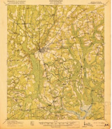
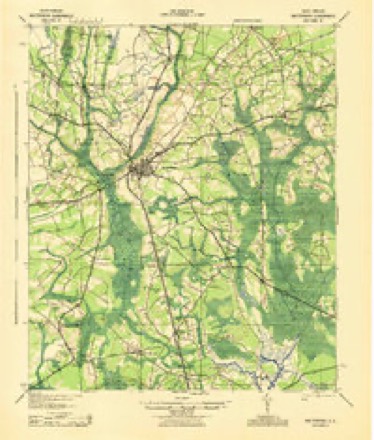
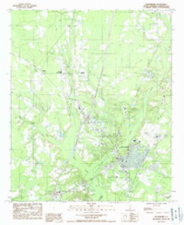
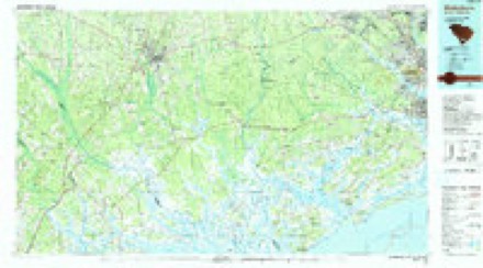
17 topographic sheets cover this place, the earliest surveyed in 1918 and the latest in 1990. It stands in the Walterboro census division. It lies in ZIP code area 29488. The Survey maps it on the Walterboro quadrangle.
Topographic sheets covering this place
10 surveys from 17 printed sheetsMatched by testing this settlement's coordinate against the published boundary of every sheet in the United States Geological Survey's historical collection. Each opens the scanned sheet at the Survey.
- 1918 USGS Walterboro quadrangle1:62500, 4 printings
- 1943 USGS Walterboro quadrangle1:62500
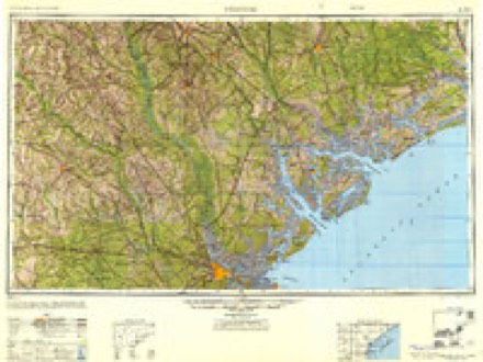
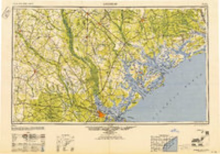
- 1947 USGS Savannah quadrangle1:250000
- 1948 USGS Savannah quadrangle1:250000
- 1957 USGS Savannah quadrangle1:250000, 4 printings
- 1960 USGS Savannah quadrangle1:250000
- 1961 USGS Savannah quadrangle1:250000, 2 printings
- 1986 USGS Walterboro quadrangle1:100000
- 1988 USGS Walterboro quadrangle1:24000
- 1990 USGS Walterboro quadrangle1:100000
Fires near this place
478 since 1992Regional context, not property-specific evidence. The federal wildfire occurrence database lists 478 fires within 5 miles of Stokes between 1992 and 2020, burning about 3,075 acres in total. 7 started naturally. 75 were recorded as arson. Distance is straight-line from the map coordinates, so a fire counted here may appear on a neighbouring settlement's page as well.
| Reported cause | Fires |
|---|---|
| Debris and open burning | 180 |
| Missing data/not specified/undetermined | 174 |
| Arson/incendiarism | 75 |
| Equipment and vehicle use | 31 |
| Natural | 7 |
| Misuse of fire by a minor | 6 |
| Power generation/transmission/distribution | 2 |
| Smoking | 1 |
| Other causes | 1 |
| Railroad operations and maintenance | 1 |
The most recent of them, most recent first, with the day each was reported and the service that recorded it.
| Date | Cause | Size | Reported by | Name on the report |
|---|---|---|---|---|
| 9 September 1997 | Equipment and vehicle use | 3.0 acres | South Carolina Forestry Commission | not named |
| 8 September 2016 | Debris and open burning | 5.0 acres | South Carolina Forestry Commission | not named |
| 8 September 2009 | Arson/incendiarism | 1.5 acres | South Carolina Forestry Commission | THREE MILE ROAD |
| 7 September 1993 | Missing data/not specified/undetermined | under an acre | South Carolina Forestry Commission | not named |
| 30 September 2006 | Arson/incendiarism | 1.0 acres | South Carolina Forestry Commission | not named |
| 28 September 2017 | Equipment and vehicle use | under an acre | South Carolina Forestry Commission | not named |
| 26 September 2019 | Debris and open burning | 5.0 acres | South Carolina Forestry Commission | not named |
| 22 September 2006 | Debris and open burning | 4.0 acres | South Carolina Forestry Commission | not named |
Settlements close enough to share some of these fires:
Mines and quarries near this place
6 within 5 milesRegional context, not property-specific evidence. The federal mineral resources record lists 6 workings within 5 miles of Stokes: 4 unknowns, 1 producer, 1 past producer. 1 still produces. What was taken out: Sand and Gravel, Construction, Sand, Sand and Gravel, Construction, Clay, Clay. Distance is straight-line from the map coordinates, so a quarry counted here may appear on a neighbouring settlement's page as well.
| Where | Site | Commodity | Status | Recorded |
|---|---|---|---|---|
| Consolidated Pit | Sand and Gravel, Construction, Clay | Unknown | Sedimentary | |
| Consolidated Pit | Sand and Gravel, Construction, Clay | Past Producer | ||
| Jeter Sand Pit #3 | Sand | Unknown | Sedimentary | |
| Pinkney Mine | Sand | Unknown | Sedimentary | |
| Nettles Mine | Sand and Gravel, Construction | Unknown | Sedimentary | |
| Nettles Mine | Sand and Gravel, Construction | Producer |
Storms near this place
56 since 2007Regional context, not property-specific evidence. The National Weather Service names Stokes in 56 storm reports between 2007 and 2025: 48 thunderstorm wind, 2 hail, 2 flash flood, 2 tornado. No death or injury is recorded in these reports. Each account below is quoted exactly as the forecast office filed it, from the NOAA Storm Events Database, and each date opens the federal record of that event.
| When | Event | Place named | Harm | What the report says |
|---|---|---|---|---|
| July 2021 | Flash Flood | Stokes | $100,000 | Colleton County Emergency Management reported damage to three different roads in the county. The most significant flash flooding occurred near 2363 Hendersonville Highway (Highway 17-A) where a large portion of the roadway collapsed and washed out. The wash out occurred near a retention pond that possibly overflowed its banks and overwhelmed the drainage pipe under the roadway. A vehicle traveling northbound on Hendersonville Highway fell into the washout but the two travelers inside were uninjured. The second roadway washout occurred nearby on Great Swamp Road near Dover Bluff Lane. A third instance of damage due to flash flooding occurred northeast of Walterboro on Industrial Lane where it crosses Ireland Creek between Highway 15 and Thunderbolt Drive. A partial washout occurred surrounding the Industrial Lane bridge across Ireland Creek and the road was determined not to be safe for travel. Minor roadway flooding also occurred in Walterboro including Ivanhoe Road and Robertson Boulevard. |
| August 2024 | Flood | Stokes | $10,000 | A Colleton County emergency manager reported a sink hole and roadway damage due to flooding along the 1500 Block of Stokes Road. |
| June 2011 | Thunderstorm Wind | Stokes | $4,000 | County officials relayed numerous reports of trees down across the northern portion of the county. |
| April 2013 | Thunderstorm Wind | Stokes | $2,000 | Law Enforcement reported trees in the roadway near the intersection of Stokes road and West Bells Highway. |
| June 2011 | Thunderstorm Wind | Stokes | $2,000 | Law enforcement reported trees down along Interstate 95 near exit 59. |
| September 2011 | Thunderstorm Wind | Stokes | $1,500 | Law Enforcement reported one tree down, blocking portions of Bells Highway near the intersection with Doctors Creek Road, 4 miles north-northwest of Walterboro, South Carolina. |
| April 2019 | Thunderstorm Wind | Stokes | $1,250 | A Colleton County emergency manager reported power lines down on Azalea Patch Road. |
| June 2024 | Thunderstorm Wind | Stokes | $1,000 | A Colleton County emergency manager reported a tree down near the intersection of Can City Road and Mount Carmel Road. |
| June 2024 | Thunderstorm Wind | Stokes | $1,000 | A Colleton County emergency manager reported a tree down at 410 Tabor Road. |
| August 2024 | Thunderstorm Wind | Stokes | $1,000 | Law enforcement reported a tree down in the 2200 Block of Bells Highway. |
| June 2022 | Thunderstorm Wind | Stokes | $1,000 | The South Carolina Highway Patrol reported a tree down near the intersection of Penny Creek Drive and Rogers Lane. |
| April 2013 | Thunderstorm Wind | Stokes | $1,000 | Law Enforcement reported trees in the roadway near the intersection of Doctors Creek Road and State Road S-15-64. |
| July 2013 | Thunderstorm Wind | Stokes | $1,000 | Law Enforcement reported 2 trees down on Mount Carmel Road, near Wolf Creek Road. |
| June 2013 | Thunderstorm Wind | Stokes | $1,000 | A Colleton County emergency manager reported a tree down at the 4000 block of Mount Carmel Road. |
| September 2013 | Thunderstorm Wind | Stokes | $1,000 | The Department of Highway Patrol reported a tree down near the intersection of Tabor Road and Penny Creek Drive. |
| June 2012 | Thunderstorm Wind | Stokes | $1,000 | The South Carolina Highway Patrol reported a tree down near Mt Carmel Road and Interstate 95. |
| June 2011 | Thunderstorm Wind | Stokes | $1,000 | Law enforcement reported 1 tree down near the intersection of Ruffin Road and Mount Carmel Road. |
| August 2008 | Thunderstorm Wind | Stokes | $1,000 | A large tree was reported down and blocking one lane of traffic near mile marker 40 on Interstate 95. |
| July 2016 | Thunderstorm Wind | Stokes | $500 | Colleton County dispatch reported a tree down and blocking the road on Overlook Lane. The tree was blown down by outflow ahead of a thunderstorm. |
| July 2013 | Thunderstorm Wind | Stokes | $500 | Law Enforcement reported a tree down along Stokes Road. |
| November 2012 | Thunderstorm Wind | Stokes | $500 | South Carolina Highway Patrol reported a tree down on Cypress Pond Road. |
| July 2011 | Thunderstorm Wind | Stokes | $500 | South Carolina Highway Patrol reported one tree down near the intersection of Jones Swamp Road and Wolfe Creek Road, 6 miles north-northwest of Walterboro, South Carolina. |
| October 2011 | Thunderstorm Wind | Stokes | $500 | Law enforcement reported 1 tree down along Mt Carmel Road. |
| October 2011 | Thunderstorm Wind | Stokes | $500 | Law enforcement reported 1 tree down along Ruffin Road just north of Walterboro. |
| August 2009 | Thunderstorm Wind | Stokes | $500 | The public reported a tree down near the intersection of McLeod Road and Mount Carmel Road, 3 miles northeast of Stokes, South Carolina. |
| August 2007 | Thunderstorm Wind | Stokes | $500 | One tree was reported down near the intersection of Ruffin Road and Jones Swamp Road. |
| June 2025 | Thunderstorm Wind | Stokes | - | A Colleton County emergency manager reported a tree down at Bells Highway near the intersection with Stokes Road. |
| June 2025 | Thunderstorm Wind | Stokes | - | A Colleton County emergency manager reported a tree down near the intersection of Stormy Lane and Bells Highway. |
| June 2025 | Thunderstorm Wind | Stokes | - | A Colleton County emergency manager reported a tree and power line down on the 3600 Block of Mount Carmel Road. |
| January 2024 | Thunderstorm Wind | Stokes | - | Colleton County Emergency Management reported a power pole and powerlines down on Penny Creek Drive. |
| June 2024 | Hail | Stokes | - | A trained spotter reported dime to nickel size hail along Wolfe Creek Road. |
| August 2023 | Thunderstorm Wind | Stokes | - | Colleton County Emergency Management reported a tree down at the 1700 Block of|Penny Creek Drive. |
| July 2023 | Thunderstorm Wind | Stokes | - | Colleton County Emergency Management reported a tree down along the 100 block of Doctors Creek Road. |
| May 2022 | Thunderstorm Wind | Stokes | - | Colleton County dispatch reported a tree down near the intersection of Benton Farm Road and Hudson Mill Road. |
| April 2022 | Thunderstorm Wind | Stokes | - | The South Carolina Highway Patrol reported a tree down near the intersection of Ruffin Road and Jones Swamp Road. |
| April 2022 | Tornado (EF0) | Stokes | - | A National Weather Service Storm Survey Team confirmed an EF-0 tornado with an estimated maximum wind speed of 75 mph in Colleton County, South Carolina. The weak tornado began just west of Alison Lane, where it snapped and uprooted a few trees, before tracking east across a wooded area where it snapped additional trees. The tornado then tracked across Sandy Springs Circle, before ending in a wooded area just east of Sandy Springs Circle, snapping and uprooting more trees and destroying a fence along its path. |
| August 2022 | Thunderstorm Wind | Stokes | - | A Colleton County emergency manager reported a tree down and blocking the road along the 2600 Block of Jones Swamp Road. |
| July 2022 | Thunderstorm Wind | Stokes | - | Colleton County Emergency Management reported a tree down and blocking the roadway in the 3000 block of Wolfe Creek Road. |
| June 2022 | Thunderstorm Wind | Stokes | - | A Colleton County Emergency Manager reported a tree down at the 1400 Block of Penny Creek Drive and a tree down on a mobile home at the 4900 Block of Bells Highway. |
| June 2022 | Thunderstorm Wind | Stokes | - | Law enforcement reported a tree in roadway near the intersection of Wintergreen Road and Jefferies Highway. |
| May 2021 | Thunderstorm Wind | Stokes | - | A tree was reported down in the roadway at Tabor Road and Bells Highway. |
| July 2021 | Thunderstorm Wind | Stokes | - | South Carolina Highway Patrol reported a tree down at the intersection of McCleod Road and Mt. Carmel Road. |
| May 2019 | Thunderstorm Wind | Stokes | - | South Carolina Highway Patrol reported a tree down at the intersection of Azalea Patch and Hudson Mill Roads. |
| April 2019 | Thunderstorm Wind | Stokes | - | The public reported several large trees blown down and also a pea to dime size hail. |
| June 2019 | Thunderstorm Wind | Stokes | - | The South Carolina Highway Patrol reported a tree down at the intersection of Penny Creek Road and Tabor Road. |
| September 2019 | Thunderstorm Wind | Stokes | - | South Carolina Highway Patrol reported a tree down in the 2100 block of Benton Farm Road. |
| August 2018 | Thunderstorm Wind | Stokes | - | The South Carolina Highway Patrol reported a tree down in the 1200 block of Penny Creek Drive. |
| May 2017 | Tornado (EF1) | Stokes | - | A National Weather Service storm survey team confirmed an EF1 tornado near Walterboro in Colleton County. The tornado touched down just west of McLeod Road, damaging the roofing and siding of a home. The tornado then traveled north-northeast producing intermittent damage along the path. The tornado produced extensive tree damage along Allen Creek just to the west of Highway 15 where approximately 100 trees were snapped off, uprooted, or severely damaged. The tornado produced fence damage along Highway 15 just north of Allen Creek and thereafter produced intermittent tree damage along the path. The tornado crossed a corn field about 2 miles east of Canadys where a convergent wind pattern was clearly evident. The tornado snapped off, uprooted, or damaged numerous trees in this area before dissipating just south of the Edisto River. |
| February 2016 | Flash Flood | Stokes | - | A Colleton County emergency manager reported roads closed due to flooding near the intersection of Penny Creek Drive and Painters Drive and along Ruffin Road near the railroad tracks. |
| June 2015 | Thunderstorm Wind | Stokes | - | Colleton County Emergency Management reported a tree blown down across one lane at the intersection of Bells Highway and McClure Lane. |
| July 2015 | Thunderstorm Wind | Stokes | - | South Carolina Highway Patrol reported a tree down on Hudson Mill Road near the intersection with Little Elbow Road. |
| July 2015 | Thunderstorm Wind | Stokes | - | South Carolina Department of Transportation reported a tree down on Wolfe Creek Road. |
| July 2015 | Thunderstorm Wind | Stokes | - | South Carolina Highway Patrol reported a tree down and in the roadway on Pleasant Grove Road near the intersection with McLeod Road. |
| October 2014 | Thunderstorm Wind | Stokes | - | The South Carolina Highway Patrol reported a tree in roadway near the intersection of Doctors Creek Road and Bells Highway. |
| May 2010 | Funnel Cloud | Stokes | - | A trained weather spotter reported a brief funnel cloud 3 miles northwest of Walterboro, South Carolina. |
| May 2009 | Hail | Stokes | - | The public reported dime to nickel size hail near the intersection of Wolfe Creek Road and Ruffin Road in Stokes, South Carolina. |
Nearest settlements
The eight closest, with where each one stands in the county. Distances are straight-line, computed from the Geographic Names Information System coordinates.
| Map | Place | Distance | Sheets |
|---|---|---|---|
| Rhodes Crossroads | 0.8 miles | 17 | |
| Pattillo (historical) | 2.8 miles | 16 | |
| Hudsons Mill | 4.9 miles | 16 | |
| Walterboro | 4.9 miles | 17 | |
| Ruffin | 5.7 miles | 18 | |
| Smyly | 5.9 miles | 18 | |
| Bells Crossroads | 6.8 miles | 16 | |
| Red Bank (historical) | 7.1 miles | 18 |
Provenance
This settlement is recorded in the Geographic Names Information System as feature 1226896. The sheet list is computed by point-in-boundary test against the United States Geological Survey's historical topographic inventory. Both are works of the United States government and carry no copyright under 17 U.S.C. 105.
Wildfire. Short, Karen C. 2022. Spatial wildfire occurrence data for the United States, 1992-2020 [FPA_FOD_20221014]. 6th Edition. Fort Collins, CO: Forest Service Research Data Archive. https://doi.org/10.2737/RDS-2013-0009.6 Collected with United States Government funding and usable without additional permissions or fees.
Mines and quarries. USGS Mineral Resources Data System (MRDS) https://mrdata.usgs.gov/mrds/ A work of the United States government, no copyright under 17 U.S.C. 105.
Storms. NOAA National Centers for Environmental Information, Storm Events Database https://www.ncei.noaa.gov/stormevents/ A work of the United States government, no copyright under 17 U.S.C. 105. Narratives are quoted verbatim from the National Weather Service report and are not edited or summarised.