 Block
Summerville, South Carolina
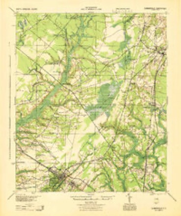
19 topographic sheets cover this place, the earliest surveyed in 1919 and the latest in 1990. It stands in the Summerville census division. It lies in ZIP code area 29483. The Survey maps it on the Summerville quadrangle. 50,915 people lived here at the 2020 count. It stands 89 feet above sea level.
Research this city
On record in Summerville
Buildings and businesses the archive holds for this place. Each opens its own page, with the source record it came from.
On the National Register 4 records
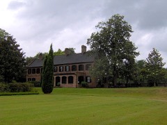 Middleton PlaceNational Historic Landmark · listed 1971
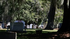 Old White Meeting House Ruins and Cemeterylisted 2005
- Old Dorchesterlisted 1969
- Summerville Historic Districtlisted 1976
Surveyed buildings and structures 2 records
- Dorchester Church Tower, Dorchester Creek Junction, Summervillefederal building survey, 1 photograph
- Fort Dorchester, Dorchester Creek Junction, Summervillefederal building survey, 3 photographs
Population over time
2 figuresSummerville grew from 43,392 to 50,915 between 2010 and 2020. These are the recorded population figures Wikidata holds for this place, reached through the Geographic Names Information System number this page is keyed on rather than by name, so they belong to this place and not to another of the same name. Most are census counts, but not all are: an early figure may be a founding or settlement estimate, and an estimate published within five years of a census is left out. The change column is computed, and is left blank where more than 20 years separate a figure from the one before it, because a gap that long is not a change between two counts.
| Year | People | Change |
|---|---|---|
| 2010 | 43,392 | |
| 2020 | 50,915 | +7,523 (+17%) |
Topographic sheets covering this place
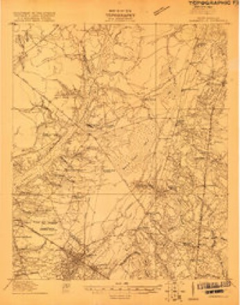
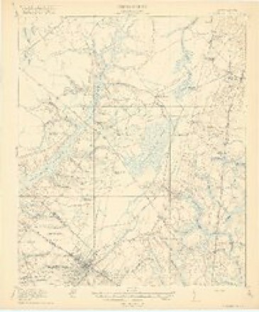
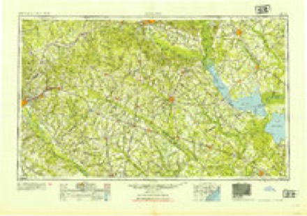
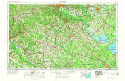
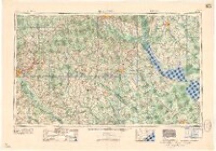
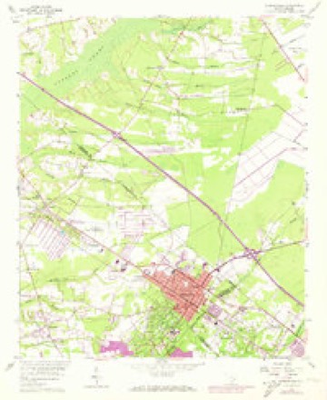
11 surveys from 19 printed sheetsMatched by testing this settlement's coordinate against the published boundary of every sheet in the United States Geological Survey's historical collection. Each opens the scanned sheet at the Survey.
- 1919 USGS Summerville quadrangle1:48000
- 1920 USGS Summerville quadrangle1:62500, 3 printings
- 1944 USGS Summerville quadrangle1:62500
- 1954 USGS Augusta quadrangle1:250000
- 1957 USGS Augusta quadrangle1:250000, 3 printings
- 1958 USGS Augusta quadrangle1:250000
- 1958 USGS Summerville quadrangle1:24000, 4 printings
- 1961 USGS Augusta quadrangle1:250000, 2 printings
- 1962 USGS Augusta quadrangle1:250000
- 1985 USGS Saint George quadrangle1:100000
- 1990 USGS Saint George quadrangle1:100000
Photographs
8 of 24 photographs shown, 1938Taken for the Office of War Information and the Farm Security Administration, who photographed the country between 1935 and 1944. Works of United States government photographers, with no known restriction on use. Each opens its catalogue record.
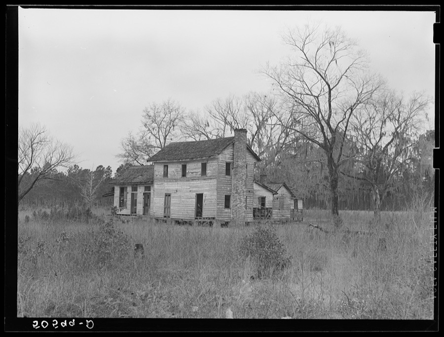
Wolcott, Marion Post, 1938. Library of Congress
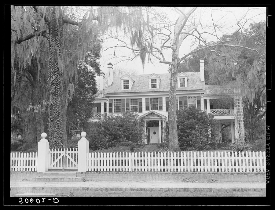
Wolcott, Marion Post, 1938. Library of Congress
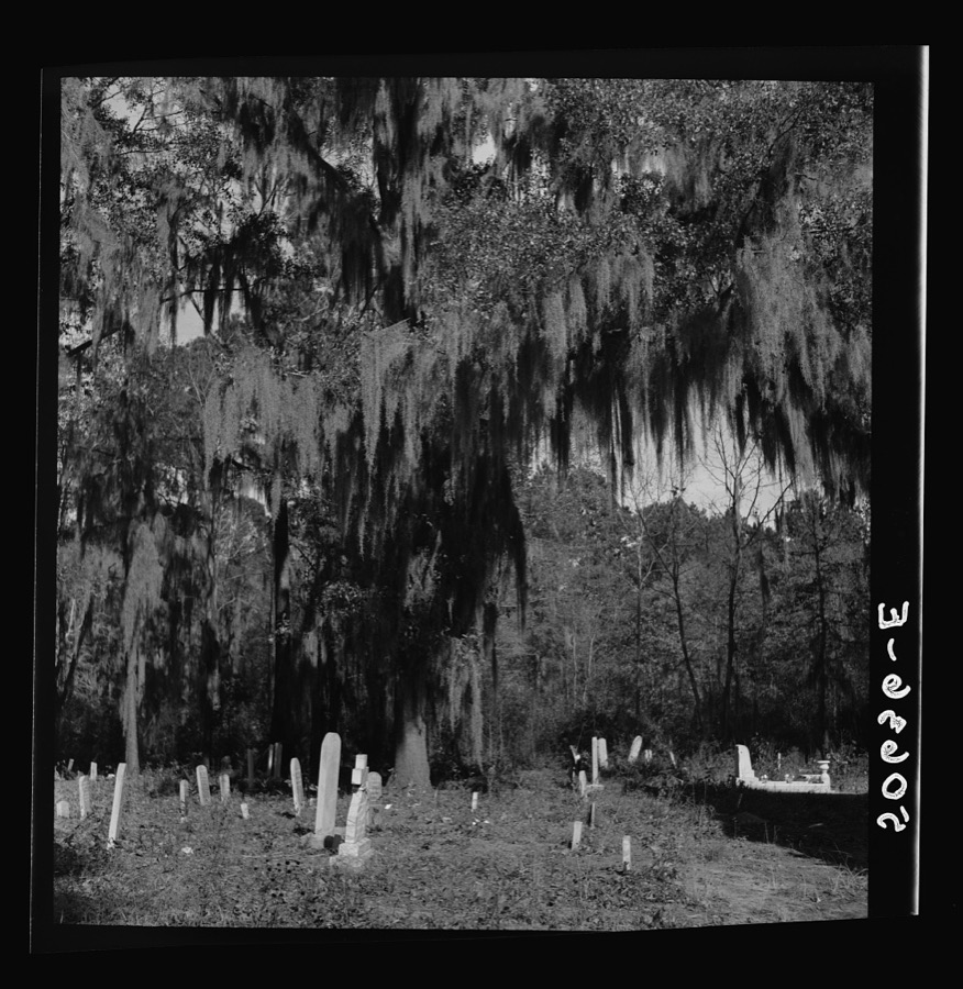
Wolcott, Marion Post, 1938. Library of Congress
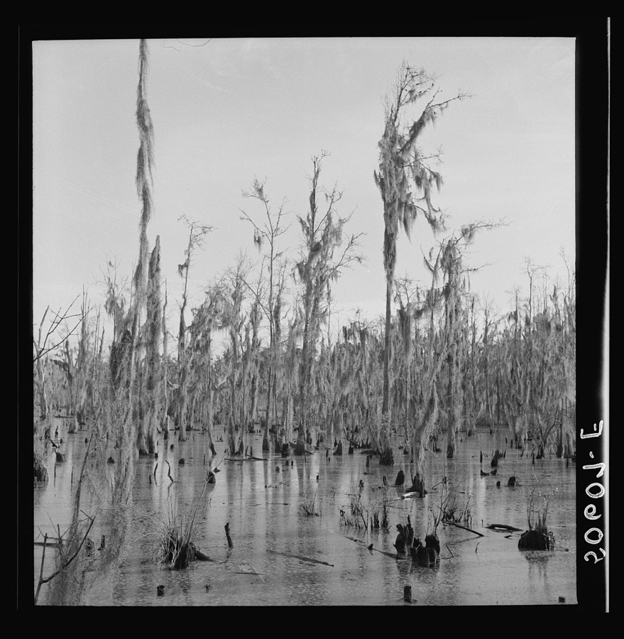
Wolcott, Marion Post, 1938. Library of Congress
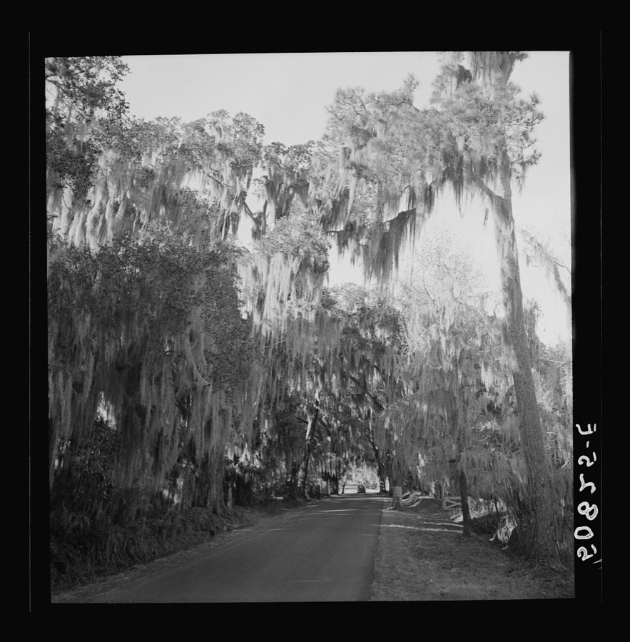
Wolcott, Marion Post, 1938. Library of Congress
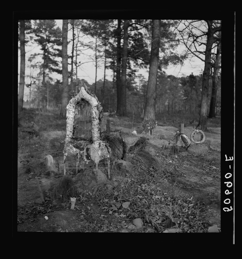
Wolcott, Marion Post, 1938. Library of Congress
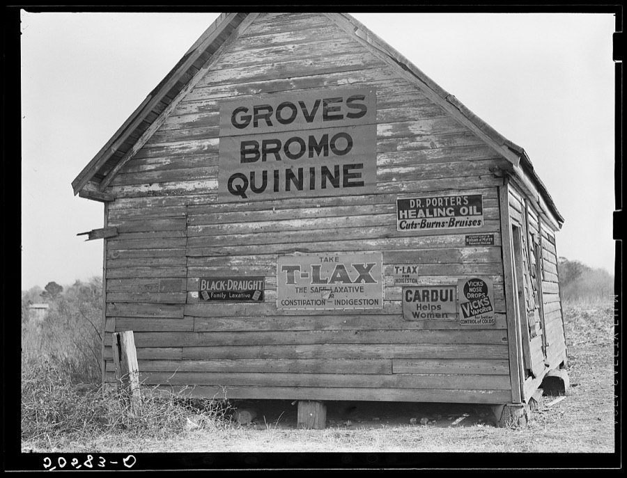
Wolcott, Marion Post, 1938. Library of Congress
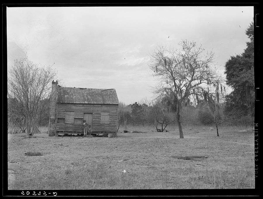
Wolcott, Marion Post, 1938. Library of Congress
Every photograph of Dorchester County
Fires near this place
522 since 1992Regional context, not property-specific evidence. The federal wildfire occurrence database lists 522 fires within 5 miles of Summerville between 1992 and 2019, burning about 2,627 acres in total. 1 started naturally. 97 were recorded as arson. Distance is straight-line from the map coordinates, so a fire counted here may appear on a neighbouring settlement's page as well.
| Reported cause | Fires |
|---|---|
| Missing data/not specified/undetermined | 199 |
| Debris and open burning | 131 |
| Arson/incendiarism | 97 |
| Misuse of fire by a minor | 80 |
| Equipment and vehicle use | 5 |
| Recreation and ceremony | 4 |
| Smoking | 2 |
| Power generation/transmission/distribution | 1 |
| Railroad operations and maintenance | 1 |
| Natural | 1 |
| Other causes | 1 |
The most recent of them, most recent first, with the day each was reported and the service that recorded it.
| Date | Cause | Size | Reported by | Name on the report |
|---|---|---|---|---|
| 4 September 1993 | Missing data/not specified/undetermined | 20 acres | South Carolina Forestry Commission | not named |
| 3 September 2014 | Misuse of fire by a minor | 2.0 acres | South Carolina Forestry Commission | not named |
| 3 September 1999 | Arson/incendiarism | 1.0 acres | South Carolina Forestry Commission | not named |
| 26 September 2017 | Debris and open burning | 4.1 acres | South Carolina Forestry Commission | not named |
| 26 September 1996 | Missing data/not specified/undetermined | under an acre | South Carolina Forestry Commission | not named |
| 2 September 2001 | Arson/incendiarism | 6.0 acres | South Carolina Forestry Commission | not named |
| 2 September 1993 | Missing data/not specified/undetermined | 15 acres | South Carolina Forestry Commission | not named |
| 18 September 2001 | Misuse of fire by a minor | under an acre | South Carolina Forestry Commission | not named |
Settlements close enough to share some of these fires:
Mines and quarries near this place
10 of 16 shownRegional context, not property-specific evidence. The federal mineral resources record lists 16 workings within 5 miles of Summerville: 6 unknowns, 6 past producers, 4 producers. 4 still produce. What was taken out: Clay, Sand and Gravel, Construction. Distance is straight-line from the map coordinates, so a quarry counted here may appear on a neighbouring settlement's page as well.
| Where | Site | Commodity | Status | Recorded |
|---|---|---|---|---|
| Evergreen Mine | Sand and Gravel, Construction | Producer | ||
| Evergreen Pit | Sand and Gravel, Construction | Producer | Sedimentary | |
| Murray Pit | Sand and Gravel, Construction | Producer | Sedimentary | |
| Dorchester Brick Clay Pit | Clay | Past Producer | Sedimentary | |
| Dorchester Mine East | Clay | Unknown | Sedimentary | |
| Dorchester Mine East | Clay | Past Producer | ||
| Dorchester Mine West | Clay | Unknown | Sedimentary | |
| Dorchester Mine West | Clay | Past Producer | ||
| Kenyon Mine East | Clay | Unknown | Sedimentary | |
| Kenyon Mine East | Clay | Past Producer |
Storms near this place
60 of 185 shownRegional context, not property-specific evidence. The National Weather Service names Summerville in 185 storm reports between 1994 and 2025: 98 thunderstorm wind, 59 hail, 19 flash flood, 5 lightning. The reports record 8 injuries. Each account below is quoted exactly as the forecast office filed it, from the NOAA Storm Events Database, and each date opens the federal record of that event.
| When | Event | Place named | Harm | What the report says |
|---|---|---|---|---|
| July 1995 | Thunderstorm Wind | Summerville | 4 hurt, $50,000 | Winds near 70mph (estimated by WSO Charleston Meteorologist In Charge) |
| August 2007 | Lightning | Summerville | 1 hurt | A Summerville man was struck by lightning while walking back from his mailbox. The man said that it felt like someone had whupped him, but didn't remember getting struck by lightning. Other than feeling sore, everything checked out fine. |
| June 1998 | Thunderstorm Wind | Summerville | 1 hurt | Camper trailer overturned. One minor injury. |
| May 1995 | Thunderstorm Wind | Summerville | 1 hurt | Thunderstorm winds blew down trees, downed power lines, and caused considerable minor damage. There were several small fires started when limbs fell on power lines. One injury occurred when a tree crushed the roof of a car near Ridgeville. |
| June 1996 | Lightning | Summerville | 1 hurt | no account filed |
| October 2015 | Flash Flood | Summerville | $3,093,450 | An emergency manager for Dorchester County reported widespread flooding around Summerville, Ladson and Wescott Plantation. Widespread road closures, damage to homes and water rescues were made. Roads closed due to flooding included the 100 and 300 block of Dorchester Manor Boulevard, the 400 block of Trade Street, Hodge Road between Deming Way and Short Street, Azalea Drive near the intersection with OT Wallace Drive, Parson Road, Dorchester Road at the intersection with Sawmill Branch Creek, Mallard Road between Hill Street and the Habitat for Humanity, West Butternut Road, the 200 block of Lawrence Drive, Aberdeen Circle, Arbors Oak Drive, Renau Boulevard near the intersection with Industrial Road, Stratton Drive, Green Wave Boulevard, Old Trolley Road from Miles Jamison Road to Dorchester Road and Orangeburg Road at the intersection with Mallard Road. ||Eagle Creek was also overflowing its banks and flooding multiple residences in Summerwood and Tranquil Estates. Water backed up a drainage canal, resulting in waist deep water in the middle of Arbor Oaks Drive. Approximately 2 feet of water was in 40 to 50 homes along Arbor Oaks Drive. Around 100 people were rescued from flooded areas along Old Trolley Road, Ladson Road and Miles Jamison Road. |
| August 2020 | Flash Flood | Summerville | $50,000 | The media reported flooding to a coffee shop near the intersection of East 3rd North Street and North Main Street. The coffee shop warehouse had around 8 inches of water in the building and around 4 inches of water inside the main customer building, destroying most flooring and some wall/cabinet wood panels. Video from social media also indicated flooding along Richardson Creek entering a few homes near the intersection of Central Avenue and South Pine Street, one of which appeared to have 1 to 2 feet of water inside exterior walls. |
| April 2006 | Thunderstorm Wind | Summerville | $50,000 | Trees down and homes damaged in the Crestwood subdivision. Damage includes trampoline through a home. |
| April 2006 | Thunderstorm Wind | Summerville | $50,000 | Parkway Business Center near intersection of Highway 17A and Highway 78 had roof partially peeled back. |
| April 2006 | Thunderstorm Wind | Summerville | $15,000 | Power pole fell on residence along Highway 61, |
| September 2022 | Flash Flood | Summerville | $10,000 | A NWS employee reported water entering the first floor of a home at 105 Flicker Lane. |
| September 2022 | Flash Flood | Summerville | $10,000 | Video shared via Twitter shows flood waters entering an attached garage of a home at 4169 Club Course Drive. The home backs up to a small creek that overflowed due to heavy rainfall associated with Hurricane Ian. |
| July 2013 | Flash Flood | Summerville | $10,000 | Highway Patrol reported the road closed due to flooding at the intersection of Savannah Round and Old Trolley Road. |
| August 2011 | Thunderstorm Wind | Summerville | $10,000 | The public reported numerous trees split in half and several trees uprooted in Quail Arbor V along Sylvan Terrace. A tree was also blown down on a fence and camper. |
| July 2006 | Thunderstorm Wind | Summerville | $10,000 | Trees down in Summerville, Jedburg, and Reevesville. |
| August 2006 | Thunderstorm Wind | Summerville | $10,000 | In Greenhurst subdivision, several trees down and/or snapped. Large branch fell on a truck and damaged it. Damage to a home. |
| August 2011 | Thunderstorm Wind | Summerville | $8,000 | A trained spotter reported numerous trees and power lines down at Coosaw Creek Country Club. |
| June 2011 | Thunderstorm Wind | Summerville | $7,000 | The public estimated a 70 mph wind gust that blew several large trees down and a transformer of Dorchester Road. |
| June 2011 | Thunderstorm Wind | Summerville | $6,000 | The public reported half a dozen trees down in Azalea Park in Summerville. |
| June 2014 | Flash Flood | Summerville | $5,000 | The media reported 2 people rescued from a car in high water near Maple Grove Drive and Patriot Boulevard. The cost was generally estimated to be 5.00K. |
| July 2013 | Flash Flood | Summerville | $5,000 | Highway Patrol reported a roadway washout at Maryland Drive and Glenda View Drive. |
| November 2006 | Thunderstorm Wind | Summerville | $5,000 | Summerville police report numerous trees and power lines down. |
| January 1995 | Thunderstorm Wind | Summerville | $5,000 | Limbs and debris across roads. |
| July 2009 | Thunderstorm Wind | Summerville | $4,000 | Law Enforcement reported downed trees blocking Embassy Road and power lines down on Old Hammer Road in Summerville, South Carolina. |
| August 2011 | Thunderstorm Wind | Summerville | $3,250 | A trained spotter reported trees and power lines down across Old Trolley Road. |
| July 2010 | Flash Flood | Summerville | $3,000 | The public reported that the street next to the Saddlebrook Mobile Home Park was flooded, with water entering vehicles. Multiple cars were stalled out in the flooded roadway. |
| July 2023 | Thunderstorm Wind | Summerville | $2,000 | The public reported approximately 40 pieces of vinyl siding were stripped off the side of a chimney. |
| July 2012 | Thunderstorm Wind | Summerville | $2,000 | Law enforcement reported one tree down on a power line and on fire along Ronald Drive. |
| June 2011 | Thunderstorm Wind | Summerville | $2,000 | A NWS employee reported 2 trees down in Wescott Plantation. |
| April 2006 | Thunderstorm Wind | Summerville | $2,000 | Several uprooted trees in the Crestwood subdivision on Saw Mill Road. |
| April 2006 | Thunderstorm Wind | Summerville | $2,000 | Numerous trees and limbs down in Coosaw Creek Subdivision. |
| May 2006 | Thunderstorm Wind | Summerville | $2,000 | Oak tree down on shed. Several other trees and limbs down. |
| June 2006 | Thunderstorm Wind | Summerville | $2,000 | Trees down along Old Trolley Rd. |
| July 2012 | Thunderstorm Wind | Summerville | $1,500 | One tree down along the intersection of Patriot Blvd and Rocking Porch Lane. There was also 1 large tree branch down in residential yard. |
| July 2011 | Hail | Summerville | $1,500 | A trained weather spotter reported quarter size hail near Ladson, South Carolina. The Ladson Fire Department also reported trees down on Treeland Drive and College Park Road near Ladson, South Carolina. |
| June 2021 | Thunderstorm Wind | Summerville | $1,000 | A picture received via social media indicated a tree down in the Harmony Senior Living parking lot. |
| July 2013 | Flash Flood | Summerville | $1,000 | Flooding was observed at Central Avenue and South Pine Street. Water covered the roadway and reached a home. |
| July 2012 | Thunderstorm Wind | Summerville | $1,000 | One tree down along the intersection of Patriot Blvd and Rocking Porch Lane and one large branch down in a residential yard. |
| August 2011 | Thunderstorm Wind | Summerville | $1,000 | Law enforcement reported a tree down on Sawgrass Drive. |
| July 2009 | Flash Flood | Summerville | $1,000 | The public reported numerous streets along Dorchester Manor Boulevard were flooded with at least 1 foot of water covering the road. Water was also significantly flooding the front and backyards of several residences. |
| July 2008 | Thunderstorm Wind | Summerville | $1,000 | The public reported a tree down on a road in Summerville, South Carolina. |
| April 2006 | Thunderstorm Wind | Summerville | $1,000 | 25 foot tree down in backyard. |
| April 2006 | Thunderstorm Wind | Summerville | $1,000 | Several trees down across Oakbrook. |
| June 2006 | Thunderstorm Wind | Summerville | $1,000 | Large tree limbs down. |
| August 2006 | Thunderstorm Wind | Summerville | $1,000 | Trees down near intersection of Highway 17A and Fisher Road. |
| June 1995 | Thunderstorm Wind | Summerville | $1,000 | Remnants of Hurricane Allison moved through South Carolina causing heavy rains, some flooding and minor wind damage. The wind tore off part of the roof of a mobile home in Early Branch, Hampton County. In Georgetown County heavy rains caused street flooding. A waterspout moved onshore at Hilton Head causing damage at Port Royal Plaza and Triangle Square where BiLo Grocery Store lost its roof, an office building under construction was destroyed, 35 parked cars were damaged, and a door at Nana's Place Child Care Center was blown off. |
| May 2006 | Thunderstorm Wind | Summerville | $1,000 | no account filed |
| December 2008 | Thunderstorm Wind | Summerville | $750 | Law enforcement reported a tree down and partially blocking Central Avenue in Summerville, South Carolina. |
| June 2019 | Thunderstorm Wind | Summerville | $500 | A report via social media indicated the top of a tree fell in a yard near the intersection of Simmons Avenue and Presidents Circle. |
| June 2014 | Thunderstorm Wind | Summerville | $500 | The public reported several limbs down with a diameter up to 2 inches. |
| June 2013 | Hail | Summerville | $500 | A NWS employee reported quarter size hail and large limbs down. |
| July 2011 | Thunderstorm Wind | Summerville | $500 | A former National Weather Service employee reported a large tree down at the Post Office in Summerville, South Carolina. |
| July 2011 | Thunderstorm Wind | Summerville | $500 | A National Weather Service employee reported a large 40 foot tall tree down at the corner of Wescott Boulevard and Patriot Boulevard, 3 miles south-southwest of Ladson, South Carolina. |
| June 2010 | Thunderstorm Wind | Summerville | $500 | An off duty NWS employee reported 5 inch diameter limbs down near the intersection of Miles Road and Gahagan Road. |
| June 2009 | Thunderstorm Wind | Summerville | $500 | A trained weather spotter reported a 10 to 11 inch diameter tree down in Summerville, South Carolina. |
| July 2009 | Flash Flood | Summerville | $500 | Law Enforcement reported a car stranded by high water along Patriot Boulevard in Wescott Plantation, 6 miles west-southwest of Goose Creek, South Carolina. |
| May 2008 | Thunderstorm Wind | Summerville | $500 | A 40 foot maple tree was reported down in Summerville, South Carolina. |
| April 2007 | Thunderstorm Wind | Summerville | $500 | A tree was reported down on Parson Road. |
| June 2006 | Thunderstorm Wind | Summerville | $500 | Top part of tree broken off with a few smaller limbs down on Ladson Road. |
| May 2009 | Thunderstorm Wind | Summerville | $200 | A trained spotter reported a large limb down that was 18 inches in diameter and 30 feet long 6 miles southwest of Goose Creek, South Carolina. |
Nearest settlements
The eight closest, with where each one stands in the county. Distances are straight-line, computed from the Geographic Names Information System coordinates.
| Map | Place | Distance | Sheets |
|---|---|---|---|
| Challendon | 0.6 miles | 19 | |
| Meadowbrook | 0.6 miles | 19 | |
| Sawmill Terrace | 0.7 miles | 19 | |
| Brick Yard Trace | 0.9 miles | 19 | |
| Gadsden Place | 1.1 miles | 19 | |
| Twin Oaks | 1.2 miles | 19 | |
| Oak Knoll Estates | 1.2 miles | 19 | |
| Rosehill | 1.2 miles | 19 |
Elsewhere
Matched on this settlement's Geographic Names Information System number rather than its name, so it cannot be a different place of the same name in another state.
| Wikipedia article on Summerville | An encyclopaedic summary. Its text is share-alike, so it is linked here rather than copied. |
| Wikidata item Q947304 | The structured record the population and elevation above come from. Public domain (CC0). |
Provenance
This settlement is recorded in the Geographic Names Information System as feature 1251073. The sheet list is computed by point-in-boundary test against the United States Geological Survey's historical topographic inventory. Both are works of the United States government and carry no copyright under 17 U.S.C. 105.
Wildfire. Short, Karen C. 2022. Spatial wildfire occurrence data for the United States, 1992-2020 [FPA_FOD_20221014]. 6th Edition. Fort Collins, CO: Forest Service Research Data Archive. https://doi.org/10.2737/RDS-2013-0009.6 Collected with United States Government funding and usable without additional permissions or fees.
Mines and quarries. USGS Mineral Resources Data System (MRDS) https://mrdata.usgs.gov/mrds/ A work of the United States government, no copyright under 17 U.S.C. 105.
Storms. NOAA National Centers for Environmental Information, Storm Events Database https://www.ncei.noaa.gov/stormevents/ A work of the United States government, no copyright under 17 U.S.C. 105. Narratives are quoted verbatim from the National Weather Service report and are not edited or summarised.