 Block
Sumter, South Carolina
16 topographic sheets cover this place, the earliest surveyed in 1946 and the latest in 1990. It stands in the Sumter census division. It lies in ZIP code area 29150. It stands on Powder Horn Branch. The Survey maps it on the Sumter East quadrangle. 43,463 people lived here at the 2020 count. It stands 171 feet above sea level.
Research this city
On record in Sumter
Buildings and businesses the archive holds for this place. Each opens its own page, with the source record it came from.
On the National Register 12 of 15 shown
 J. Clinton Brogdon Houselisted 1993
 Carnegie Public Librarylisted 1994
 Heriot-Moise Houselisted 1989
 Lincoln High Schoollisted 2015
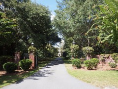 Charles T. Mason Houselisted 1997
 O'Donnell Houselisted 1996
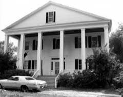 Rip Raps Plantationlisted 1978
 Salem Black River Presbyterian Churchlisted 1978
 Henry Lee Scarborough Houselisted 1995
 Stateburg Historic Districtlisted 1971
 Sumter County Courthouselisted 2004
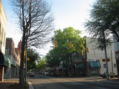 Sumter Historic Districtlisted 1975
Every listing in Sumter County
Surveyed buildings and structures 1 record
- Cabin, Sumterfederal building survey, 1 photograph
Population over time
2 figuresSumter grew from 40,524 to 43,463 between 2010 and 2020. These are the recorded population figures Wikidata holds for this place, reached through the Geographic Names Information System number this page is keyed on rather than by name, so they belong to this place and not to another of the same name. Most are census counts, but not all are: an early figure may be a founding or settlement estimate, and an estimate published within five years of a census is left out. The change column is computed, and is left blank where more than 20 years separate a figure from the one before it, because a gap that long is not a change between two counts.
| Year | People | Change |
|---|---|---|
| 2010 | 40,524 | |
| 2020 | 43,463 | +2,939 (+7%) |
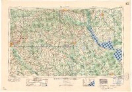
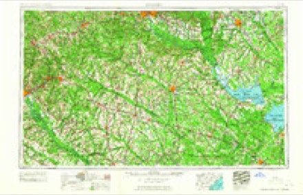
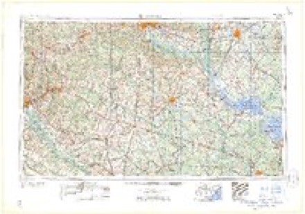
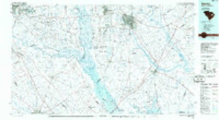
Topographic sheets covering this place
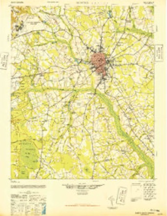
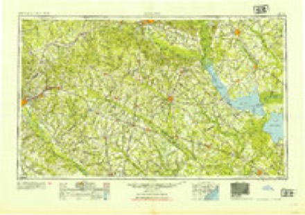
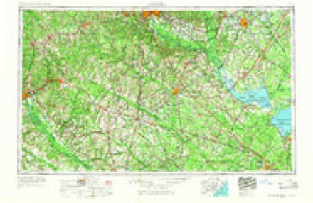
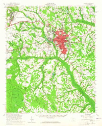
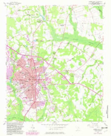
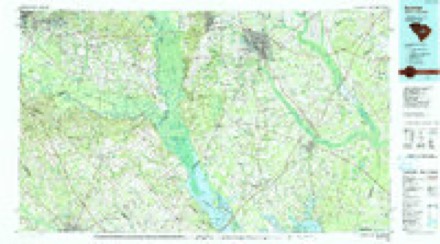
10 surveys from 16 printed sheetsMatched by testing this settlement's coordinate against the published boundary of every sheet in the United States Geological Survey's historical collection. Each opens the scanned sheet at the Survey.
- 1946 USGS Sumter quadrangle1:62500
- 1954 USGS Augusta quadrangle1:250000
- 1957 USGS Augusta quadrangle1:250000, 3 printings
- 1957 USGS Sumter quadrangle1:62500, 2 printings
- 1957 USGS Sumter East quadrangle1:24000, 3 printings
- 1958 USGS Augusta quadrangle1:250000
- 1961 USGS Augusta quadrangle1:250000, 2 printings
- 1962 USGS Augusta quadrangle1:250000
- 1986 USGS Sumter quadrangle1:100000
- 1990 USGS Sumter quadrangle1:100000
Photographs
8 of 32 photographs shown,Taken for the Office of War Information and the Farm Security Administration, who photographed the country between 1935 and 1944. Works of United States government photographers, with no known restriction on use. Each opens its catalogue record.
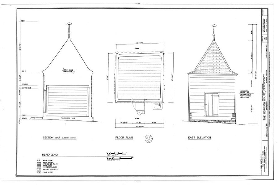
Photographer not recorded. Library of Congress
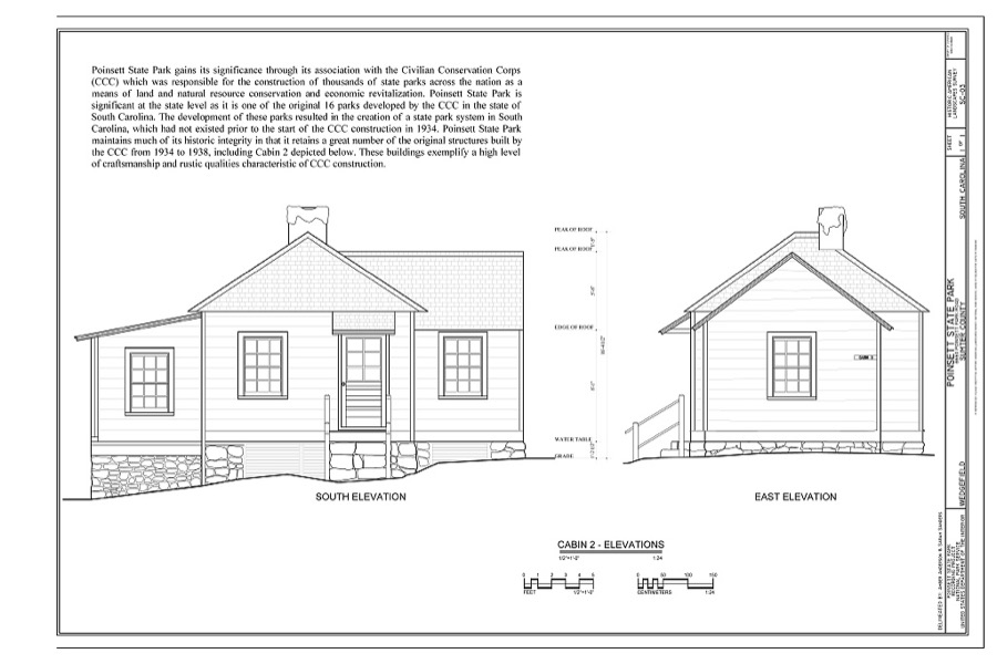
Photographer not recorded. Library of Congress
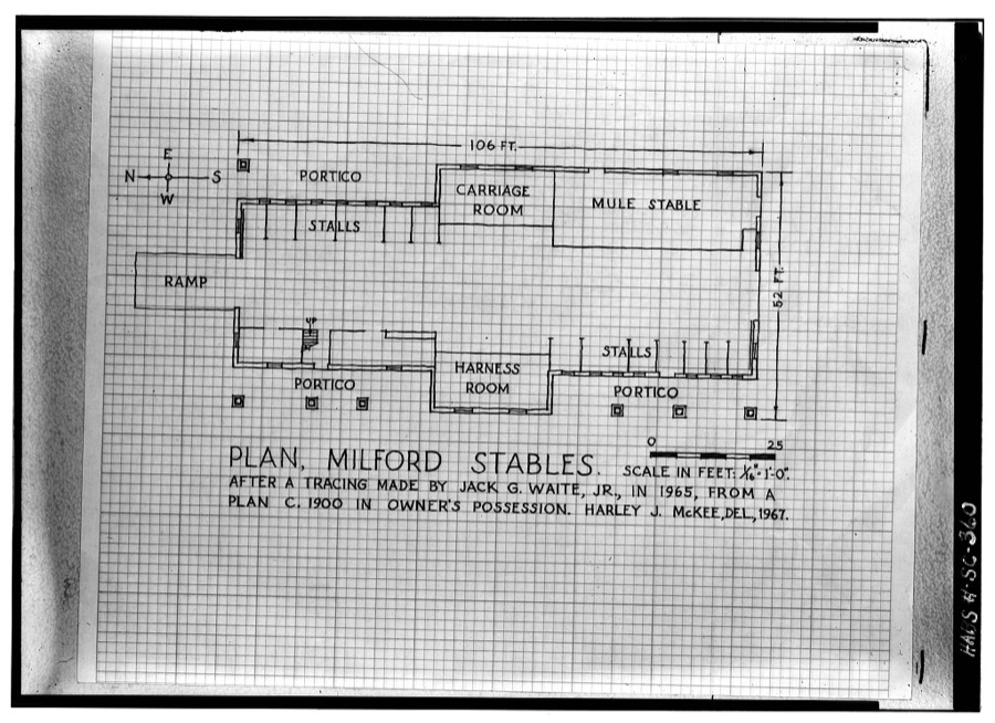
Photographer not recorded. Library of Congress
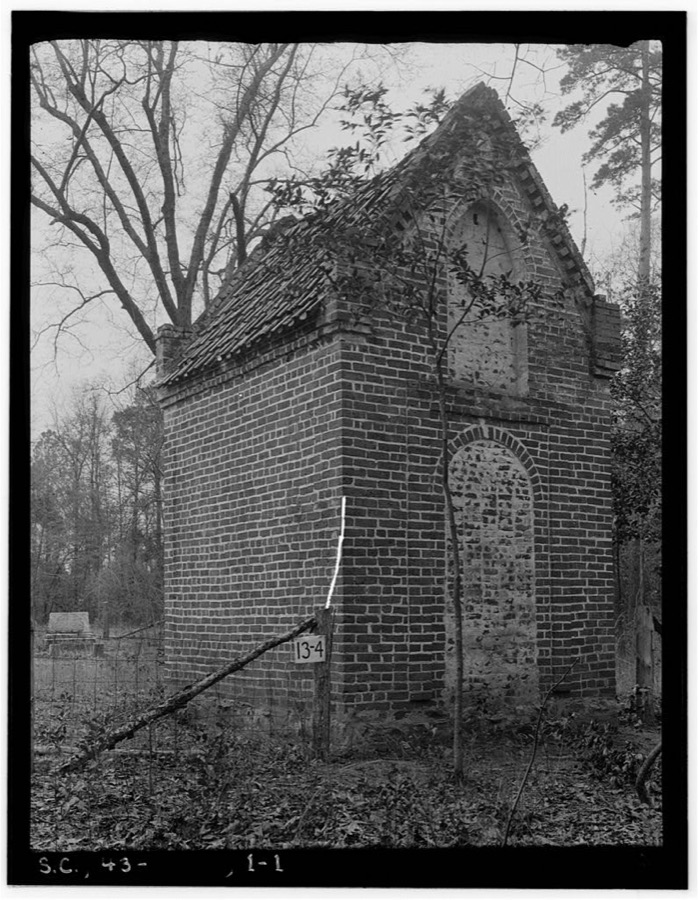
Photographer not recorded. Library of Congress
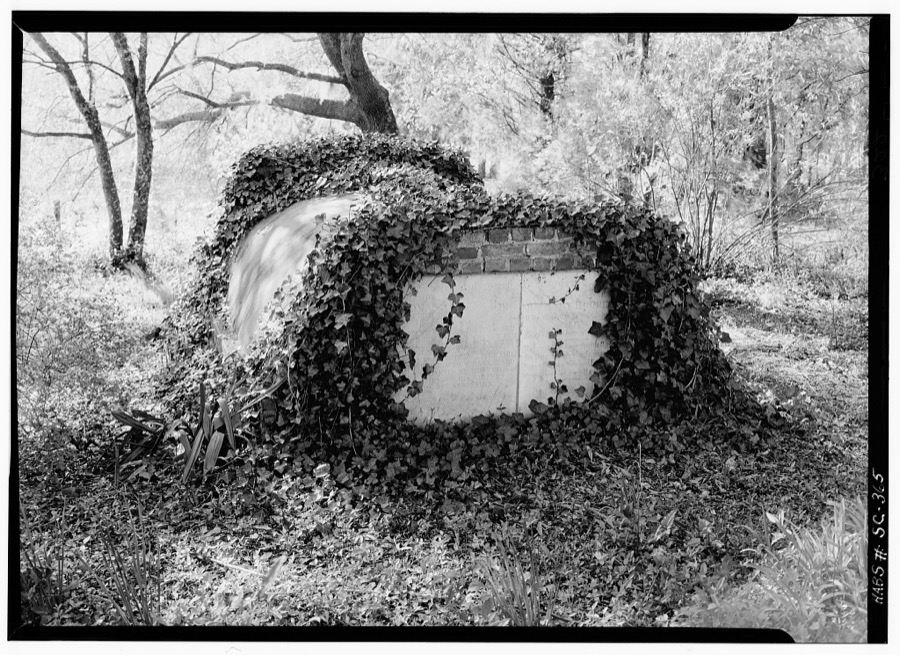
Photographer not recorded. Library of Congress
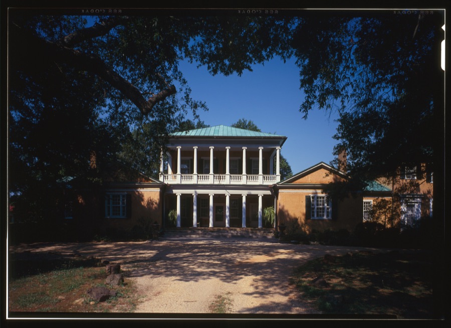
Photographer not recorded. Library of Congress
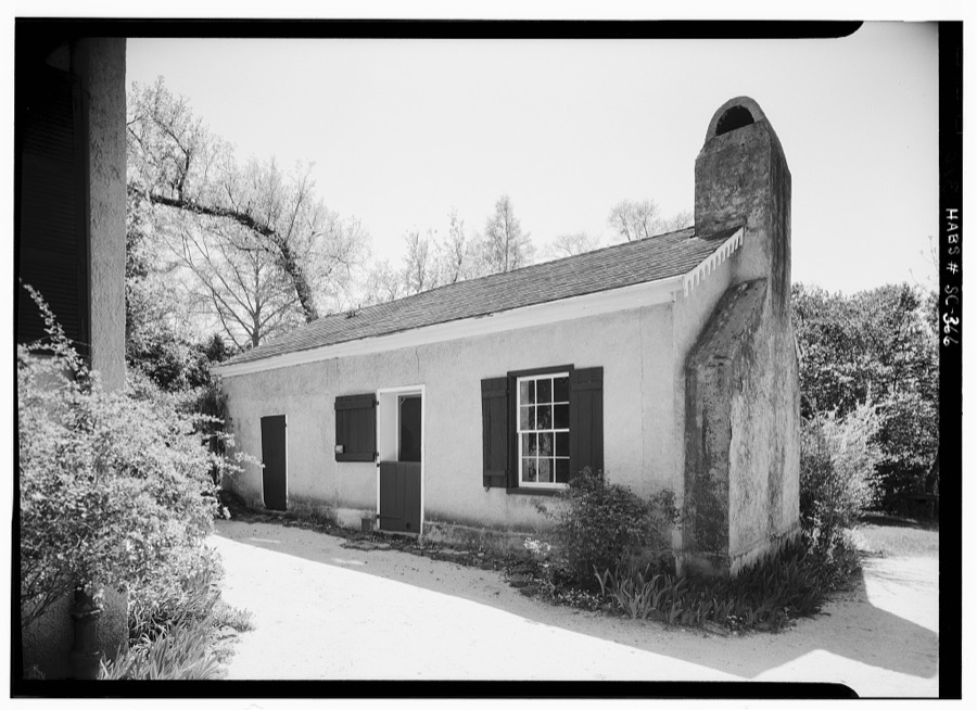
Photographer not recorded. Library of Congress
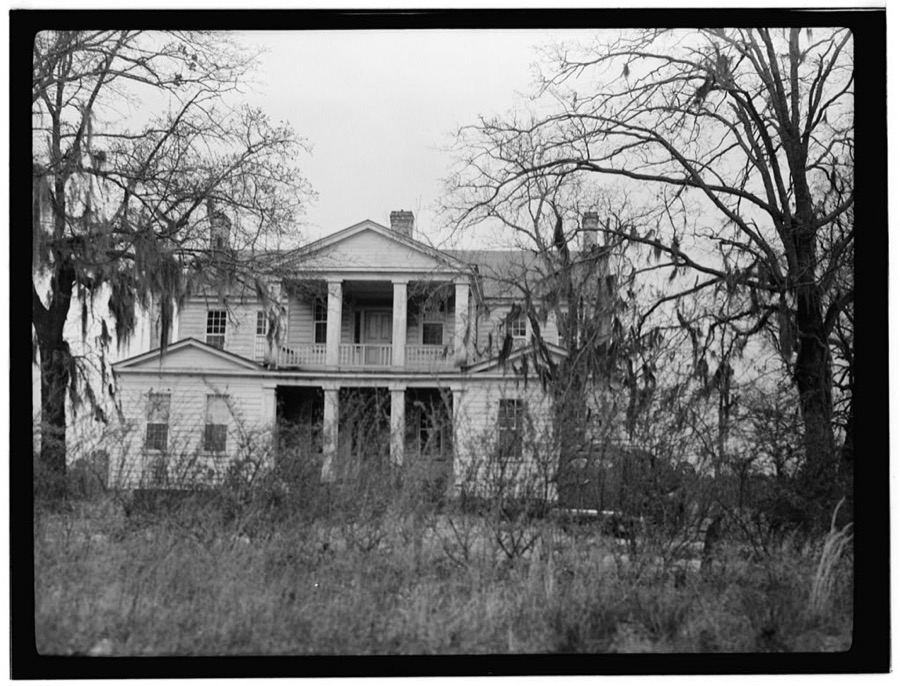
Photographer not recorded. Library of Congress
Every photograph of Sumter County
Fires near this place
388 since 1992Regional context, not property-specific evidence. The federal wildfire occurrence database lists 388 fires within 5 miles of Sumter between 1992 and 2020, burning about 1,545 acres in total. 3 started naturally. 50 were recorded as arson. Distance is straight-line from the map coordinates, so a fire counted here may appear on a neighbouring settlement's page as well.
| Reported cause | Fires |
|---|---|
| Debris and open burning | 147 |
| Missing data/not specified/undetermined | 142 |
| Arson/incendiarism | 50 |
| Misuse of fire by a minor | 22 |
| Equipment and vehicle use | 14 |
| Smoking | 6 |
| Natural | 3 |
| Power generation/transmission/distribution | 2 |
| Fireworks | 1 |
| Recreation and ceremony | 1 |
The most recent of them, most recent first, with the day each was reported and the service that recorded it.
| Date | Cause | Size | Reported by | Name on the report |
|---|---|---|---|---|
| 4 September 2011 | Missing data/not specified/undetermined | 1.0 acres | South Carolina Forestry Commission | not named |
| 4 September 1993 | Missing data/not specified/undetermined | 1.0 acres | South Carolina Forestry Commission | not named |
| 28 September 2003 | Misuse of fire by a minor | under an acre | South Carolina Forestry Commission | not named |
| 25 September 2010 | Debris and open burning | under an acre | South Carolina Forestry Commission | not named |
| 24 September 2010 | Debris and open burning | under an acre | South Carolina Forestry Commission | not named |
| 20 September 1998 | Arson/incendiarism | 2.0 acres | South Carolina Forestry Commission | not named |
| 19 September 2011 | Debris and open burning | 3.0 acres | South Carolina Forestry Commission | not named |
| 16 September 2000 | Debris and open burning | 3.1 acres | South Carolina Forestry Commission | not named |
Settlements close enough to share some of these fires:
Mines and quarries near this place
3 within 5 milesRegional context, not property-specific evidence. The federal mineral resources record lists 3 workings within 5 miles of Sumter: 2 prospects, 1 producer. 1 still produces. What was taken out: Iron, Sand and Gravel, Construction. Distance is straight-line from the map coordinates, so a quarry counted here may appear on a neighbouring settlement's page as well.
| Where | Site | Commodity | Status | Recorded |
|---|---|---|---|---|
| Sumter Asphalt Pit | Sand and Gravel, Construction | Producer | ||
| Francis Moise Prospect | Iron | Prospect | ||
| White's Mill Prospect | Iron | Prospect |
Storms near this place
60 of 148 shownRegional context, not property-specific evidence. The National Weather Service names Sumter in 148 storm reports between 1994 and 2025: 73 thunderstorm wind, 46 hail, 14 flash flood, 5 lightning. The reports record 12 injuries. Each account below is quoted exactly as the forecast office filed it, from the NOAA Storm Events Database, and each date opens the federal record of that event.
| When | Event | Place named | Harm | What the report says |
|---|---|---|---|---|
| June 2006 | Hail | Sumter | 9 hurt | Walters Care Facility reported penny size hail and strong winds with small limbs down. |
| September 2004 | Tornado (F2) | Sumter | 3 hurt, $1,700,000 | Emergency manager reported 55 homes damaged, 9 destroyed, and 3 injuries. |
| July 1997 | Lightning | Sumter | $225,000 | Lightning destroyed half of a Longleaf Drive home. |
| January 1995 | Thunderstorm Wind | Sumter | $100,000 | Many roofs and mobile homes in Sumter damaged by winds. Trees and power lines down. |
| June 2010 | Thunderstorm Wind | Sumter | $88,000 | Emergency Manager reported trees and powerlines down. Three roofs on buildings heavily damaged at the public works facility and a couple of trees were on homes on Jerry Street and Hwy 15. |
| September 2011 | Lightning | Sumter | $87,000 | Sumter County Newspaper reported a barn struck by lightning burnt down and 9 horses were killed. |
| September 1996 | Tornado (F2) | Sumter | $75,000 | no account filed |
| April 2011 | Hail | Sumter | $60,000 | Public reported 3 inch hail near Sumter. |
| May 1997 | Thunderstorm Wind | Sumter | $50,000 | no account filed |
| April 2011 | Hail | Sumter | $40,000 | Spotter reported hail ranging from quarter size to golfball size covering the ground in Sumter. |
| April 2011 | Hail | Sumter | $40,000 | COCORAHS Observer reported golfball size hail near the USC Sumter campus. |
| May 2012 | Lightning | Sumter | $30,000 | The Sumter County Newspaper reported that the Sumter Opera House was struck by lightning which caused structural damage to the metal roof and building. Bricks from the four story structure were blown out of the building and into the parking lot and street. |
| June 2010 | Thunderstorm Wind | Sumter | $24,000 | Sheriff reported numerous trees down over the western part of the county. |
| September 2011 | Flash Flood | Sumter | $22,000 | Flood waters entered a residence near Sand Hill Dr. and McCorays Mill Rd....and at at the Friendship Apt. on E. Calhoun St. in Sumter. Also...numerous reports of street flooding were received. |
| July 2009 | Lightning | Sumter | $16,000 | Two homes on Kaempfer Circle were struck by lightning causing moderate damage to one and minimal damage to the other. |
| April 2011 | Thunderstorm Wind | Sumter | $14,000 | Sheriff reported trees down on Hwy 261, Livestock Road, and Nazarene Road. |
| July 2013 | Thunderstorm Wind | Sumter | $12,000 | Sumter County Dispatch reported trees and powerlines down in Sumter. |
| May 2009 | Thunderstorm Wind | Sumter | $12,000 | Public reported several trees down and powerlines down. A few telephone poles were broken and there was minor damage to roofs of county buildings. |
| March 2023 | Flash Flood | Sumter | $10,000 | Sumter Co EM provided reports and photos of flooded and impassable road, and at least one flooded vehicle, at E. Pike St at Bagnall Dr. Times estimated. |
| March 2023 | Flash Flood | Sumter | $10,000 | Sumter Co EM reported water entered the lobby of a nursing home at 431 N. Main St in Sumter. Times estimated. |
| June 2010 | Thunderstorm Wind | Sumter | $8,000 | Sheriff reported trees and powerlines down on the southeast side of town. |
| June 2015 | Thunderstorm Wind | Sumter | $6,000 | Highway Patrol reported trees down on Oswego Highway and Pike Road at Hwy 76. |
| April 2013 | Thunderstorm Wind | Sumter | $6,000 | SKYWARN spotter reported trees down on both sices of HWY 521 just south of Sumter near Frierson road. |
| June 2009 | Thunderstorm Wind | Sumter | $6,000 | Sumter newspaper reported several trees down around town from severe storms. |
| September 2016 | Flash Flood | Sumter | $5,000 | Reported water covering the roadway near Clematis Trail and Shadow Trail. Water is 3 to 4 feet deep. |
| September 2007 | Thunderstorm Wind | Sumter | $5,000 | Fire dept. reported numerous sheds damaged and blown across state hwy 763. One railroad crossing arm blown over at the intersection of Cane Savannah and Wedgefield roads. |
| November 2006 | Thunderstorm Wind | Sumter | $5,000 | Sheriff and public reported several trees and powerlines down in west Sumter. |
| June 1995 | Thunderstorm Wind | Sumter | $5,000 | Thunderstorm winds blew down power lines. |
| March 2013 | Thunderstorm Wind | Sumter | $4,000 | DOT reported several trees down along Hwy 521. |
| September 2011 | Thunderstorm Wind | Sumter | $4,000 | Highway Patrol reported trees down on Mood Ave. |
| June 2010 | Thunderstorm Wind | Sumter | $4,000 | Sheriff reported trees down on Shemp road. |
| July 2009 | Thunderstorm Wind | Sumter | $4,000 | EM reported trees down on hwy 521. |
| April 2015 | Thunderstorm Wind | Sumter | $3,000 | Dispatch reported trees down at the intersection of Dogwood Drive and Bangal Drive. |
| September 2020 | Flash Flood | Sumter | $2,000 | Public reported, via social media, a roadway washout with sinkhole on US Hwy 15 N near US Hwy 76/378, and provided a photo. Times estimated. |
| September 2015 | Flood | Sumter | $2,000 | Roadway flooding reported by public temporarily closing some. |
| September 2015 | Flash Flood | Sumter | $2,000 | Public reported several roads flooded and closed. |
| April 2015 | Thunderstorm Wind | Sumter | $2,000 | Sumter County Dispatch reported powerlines down along Calhoun Street near Stewart Street. |
| July 2010 | Thunderstorm Wind | Sumter | $2,000 | Sheriff reported a couple of trees down on the west side of town. |
| September 2016 | Flash Flood | Sumter | $1,000 | Media reported flooding along Sassafras Drive in Sumter. Water was 1 to 2 feet deep and covering the roadway. Roadway looked impassable from video. |
| September 2020 | Flash Flood | Sumter | $500 | Flooding reported on Sassafras Dr, and yards were underwater. |
| September 2016 | Flash Flood | Sumter | $500 | The pond at Palmetto Park overflowed its banks and spilled into the Palmetto Pointe apartment complex parking lot. |
| April 2023 | Thunderstorm Wind | Sumter | $100 | Broadcast media relayed a social media report and photo from local law enforcement of a large tree that fell and took down some power lines on N. Main St between Victory Dr and Dubose St. Time estimated. |
| June 2023 | Hail | Sumter | $100 | Public reported and provided a photo, via social media, of one half inch hail in the Millwood area of Sumter. |
| June 2023 | Hail | Sumter | $100 | Trained spotter reported pea size hail at Loring Mill Rd and Keels Rd. |
| May 2020 | Flash Flood | Sumter | $100 | Flooding reported at the intersection of Bultman Dr and Wise Dr. |
| August 2018 | Flash Flood | Sumter | $100 | Roadway was flooded with stranded vehicles at Guignard Dr and Birnie Cir. Time estimated. |
| August 2018 | Flash Flood | Sumter | $100 | Flooding with stranded vehicles at Calhoun St and Lafayette Dr in Sumter. Time estimated. |
| May 2017 | Heavy Rain | Sumter | $100 | Heavy rain produced 1.2 inches of rain in the period from 8:56 pm EDT (1956 EST) to 9:30 pm EDT (2030 EST) at Clematis Trail and Shadow Trail. This led to street flooding in that location. |
| July 2016 | Thunderstorm Wind | Sumter | $10 | Estimated wind gusts around 45 knots. 0.89 inches of rain fell in a 10 minute period. |
| July 2025 | Thunderstorm Wind | Sumter | - | SCDPS website reported a tree in roadway at the intersection of Church Street and West Hampton Lane. Time estimated by radar. |
| January 2024 | Thunderstorm Wind | Sumter | - | Numerous trees were downed in Sumter and vicinity. |
| August 2024 | Flash Flood | Sumter | - | Swan Lake Drive closed due to flash flooding in the nearby park. |
| March 2023 | Heavy Rain | Sumter | - | A CoCoRaHS observer reported a 24 hour rainfall amount of 6.21 inches about 1 mile SSW of Sumter. Most of this rain fell late in the night of March 26th through the early morning hours of March 27th. |
| June 2023 | Thunderstorm Wind | Sumter | - | Power lines were downed along Lewis Rd near Club Ln in Sumter. |
| June 2023 | Thunderstorm Wind | Sumter | - | A tree fell on US Hwy 521 and Alice Dr. Time estimated. |
| June 2023 | Heavy Rain | Sumter | - | A trained spotter measured 2.40 inches of rain that fell in 50 minutes, from 2200 to 2250 EDT (2100 to 2150 EST) at Loring Mill Rd and Keels Rd. |
| March 2021 | Thunderstorm Wind | Sumter | - | A river birch tree was downed along Shadow Trl. Time estimated. |
| March 2021 | Thunderstorm Wind | Sumter | - | Media shared a photo of a roof partially removed from a restaurant on Liberty St in Sumter. Time estimated. |
| February 2020 | Thunderstorm Wind | Sumter | - | A power line was downed on Council St and W Bartlette St. Time estimated. |
| September 2020 | Heavy Rain | Sumter | - | A CoCoRaHS observer reported a 24 hour rainfall amount of 8.65 inches, most of that rain fell during the morning and early afternoon of Thursday, September 17th. |
Newspapers printed here
23,592 digitised pages1 paper published in this town, digitised by the Library of Congress and free to read: 3,767 issues, 23,592 pages. Every page is searchable, so a name or a street can be looked for directly in what the town printed about itself at the time.
| Newspaper | Published |
|---|---|
| The Watchman and Southron | 1881 to 1930 |
What the paper printed
36,655 wordsFront pages of the local paper, read from the Library of Congress scans: 5 issues spread across its run from 1881 to 1927, 36,655 words in total. Each is reproduced on its own page, exactly as the recogniser returned it.
These pages read less well than anything else here, and the number is worth stating: about three words in four come through cleanly, against nine in ten for the building records. An 1896 broadsheet sets eight-point type in seven columns on microfilm, which is the hardest thing in this archive to read by machine. We tested our own recognisers against the Library's and they were not better, so the Library's text is what appears, with the wholly unreadable columns removed. Read it as a guide to what the paper covered, and follow the link to the scan before quoting anything.
| Issue | Paper | Length |
|---|---|---|
| 1881-08-16 | The Watchman and Southron | 8,753 words |
| 1881-09-27 | The Watchman and Southron | 8,915 words |
| 1881-11-01 | The Watchman and Southron | 7,614 words |
| 1881-12-13 | The Watchman and Southron | 7,969 words |
| 1927-12-31 | The Watchman and Southron | 3,404 words |
Nearest settlements
The eight closest, with where each one stands in the county. Distances are straight-line, computed from the Geographic Names Information System coordinates.
| Map | Place | Distance | Sheets |
|---|---|---|---|
| South Sumter | 1.0 miles | 16 | |
| Wen-le | 1.2 miles | 16 | |
| Flowers Heights | 1.3 miles | 16 | |
| Carolina Gardens | 1.3 miles | 16 | |
| Marigold Heights | 1.3 miles | 16 | |
| Garris Park | 1.4 miles | 16 | |
| Kingman Heights | 1.6 miles | 16 | |
| Burns Down | 1.6 miles | 16 |
Elsewhere
Matched on this settlement's Geographic Names Information System number rather than its name, so it cannot be a different place of the same name in another state.
| Wikipedia article on Sumter | An encyclopaedic summary. Its text is share-alike, so it is linked here rather than copied. |
| Wikidata item Q1010203 | The structured record the population and elevation above come from. Public domain (CC0). |
Provenance
This settlement is recorded in the Geographic Names Information System as feature 1251074. The sheet list is computed by point-in-boundary test against the United States Geological Survey's historical topographic inventory. Both are works of the United States government and carry no copyright under 17 U.S.C. 105.
Wildfire. Short, Karen C. 2022. Spatial wildfire occurrence data for the United States, 1992-2020 [FPA_FOD_20221014]. 6th Edition. Fort Collins, CO: Forest Service Research Data Archive. https://doi.org/10.2737/RDS-2013-0009.6 Collected with United States Government funding and usable without additional permissions or fees.
Mines and quarries. USGS Mineral Resources Data System (MRDS) https://mrdata.usgs.gov/mrds/ A work of the United States government, no copyright under 17 U.S.C. 105.
Storms. NOAA National Centers for Environmental Information, Storm Events Database https://www.ncei.noaa.gov/stormevents/ A work of the United States government, no copyright under 17 U.S.C. 105. Narratives are quoted verbatim from the National Weather Service report and are not edited or summarised.