 Block
From the record
28 National Register listings published here, 3 of them National Historic Landmarks.
Sources: the National Register database, National Park Service
88 topographic sheets and 14 fire insurance atlases across 2 places.
28 National Register listings published here, 3 of them National Historic Landmarks.
Sources: the National Register database, National Park Service
Taken for the Office of War Information and the Farm Security Administration, who photographed the country between 1935 and 1944. Works of United States government photographers, with no known restriction on use. Each opens its catalogue record.
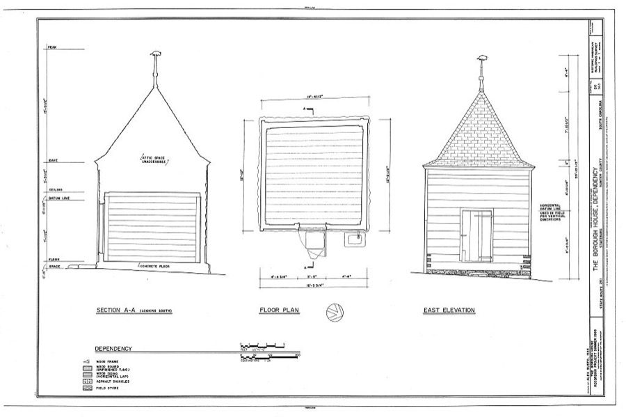
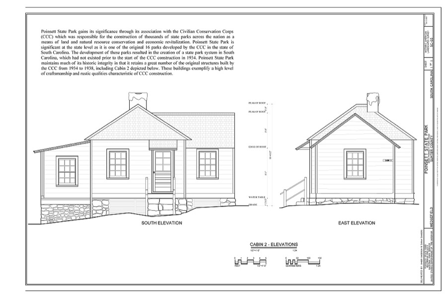
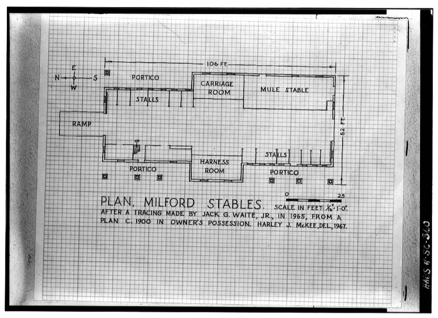
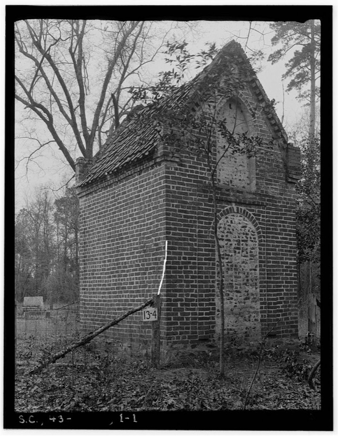
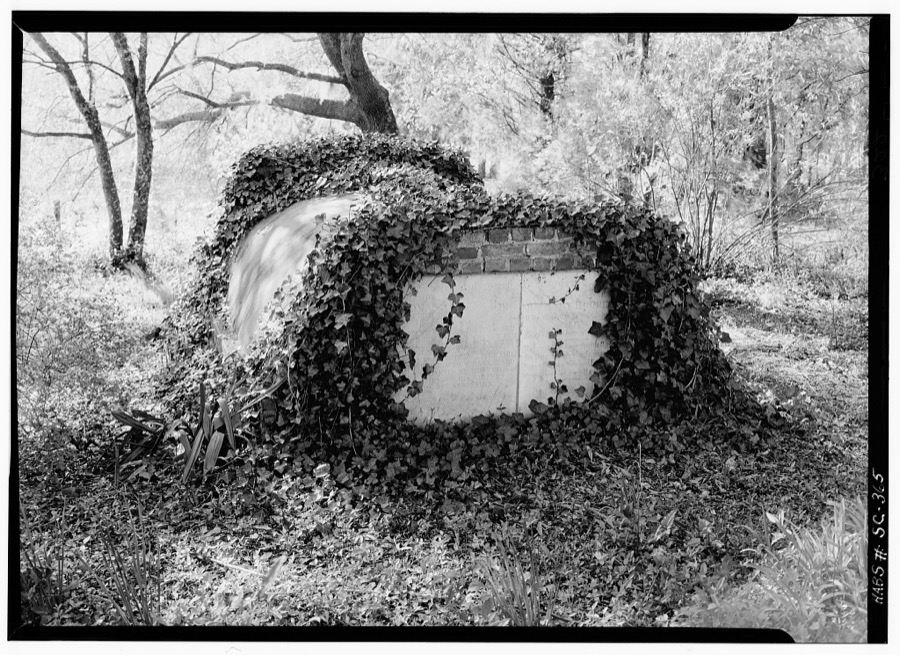
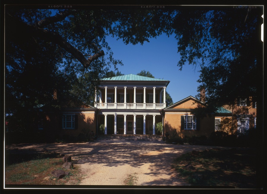
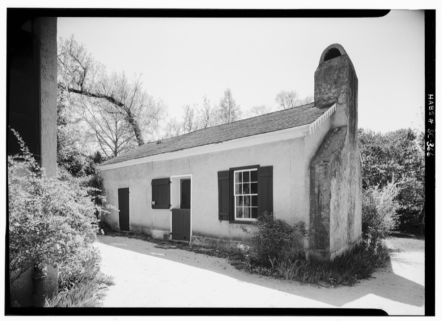
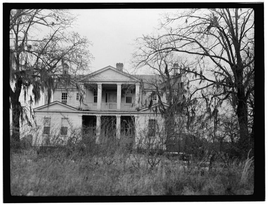
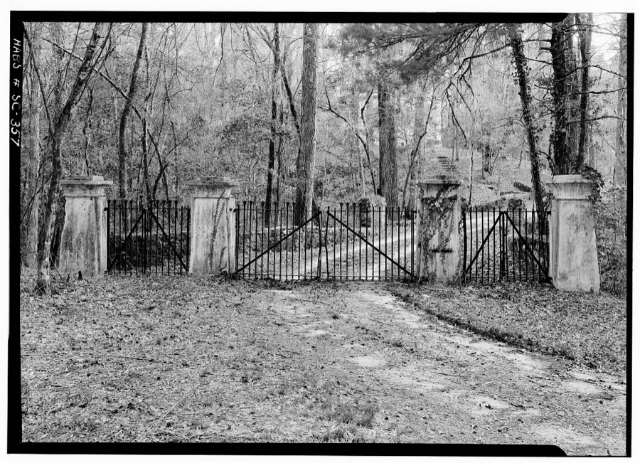
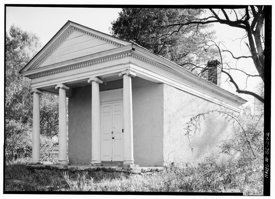
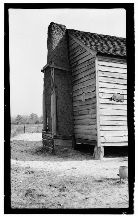
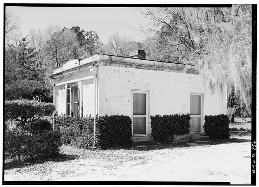
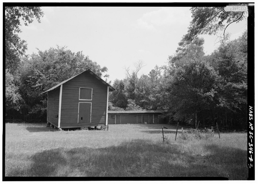
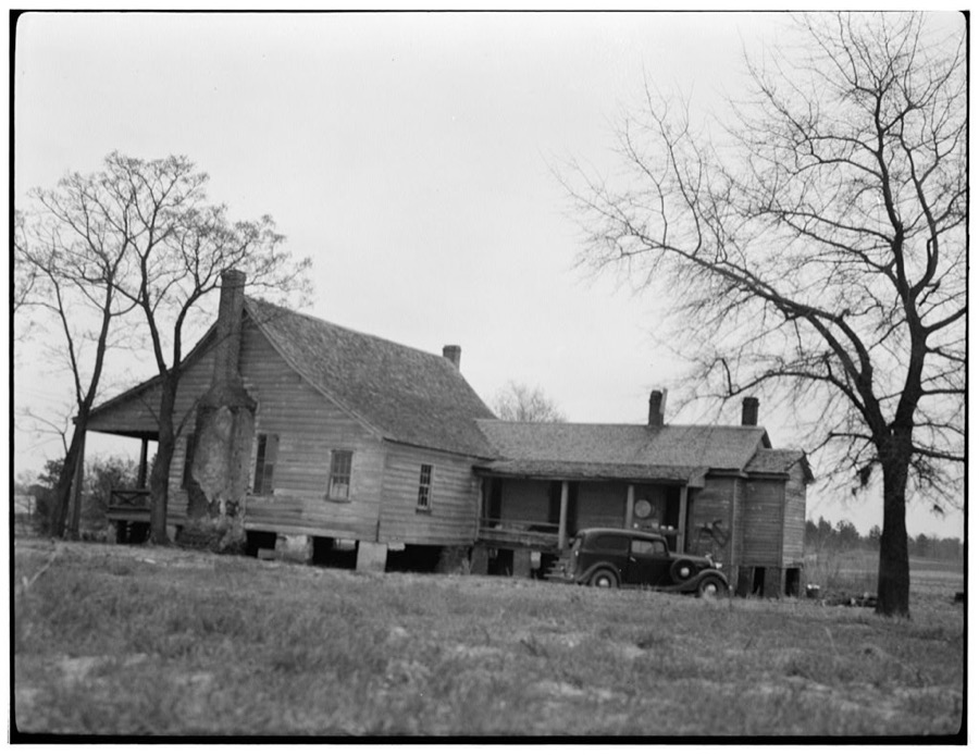
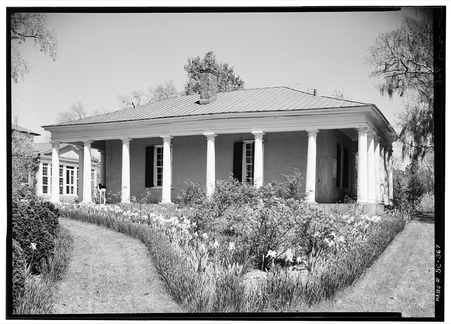
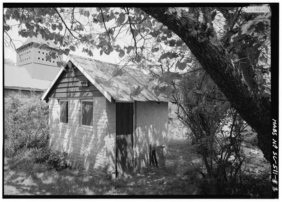
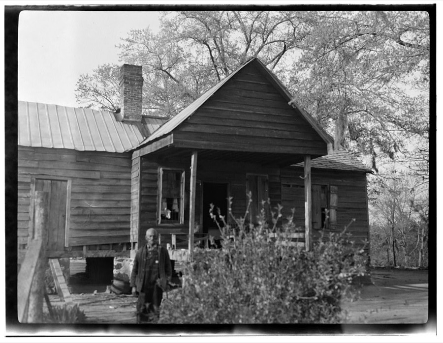
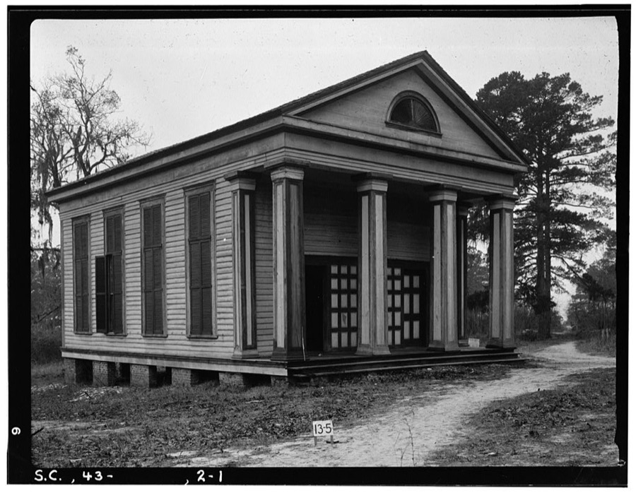
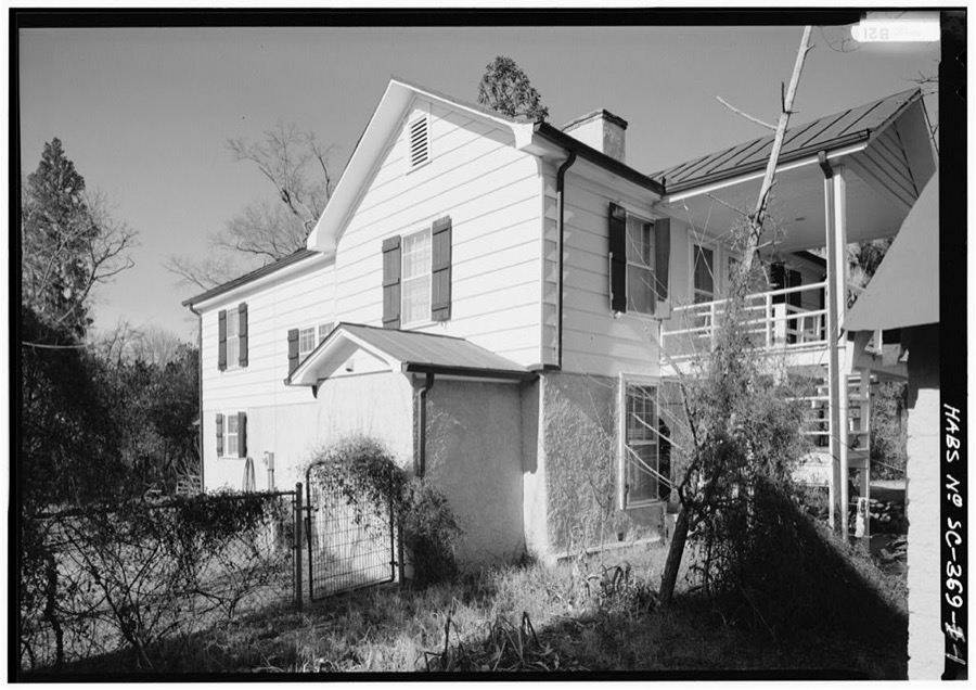
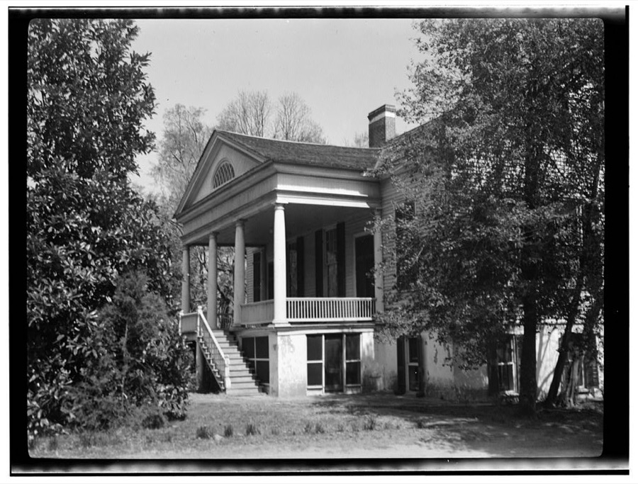
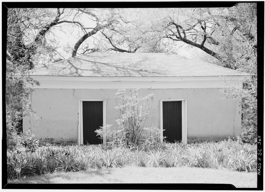
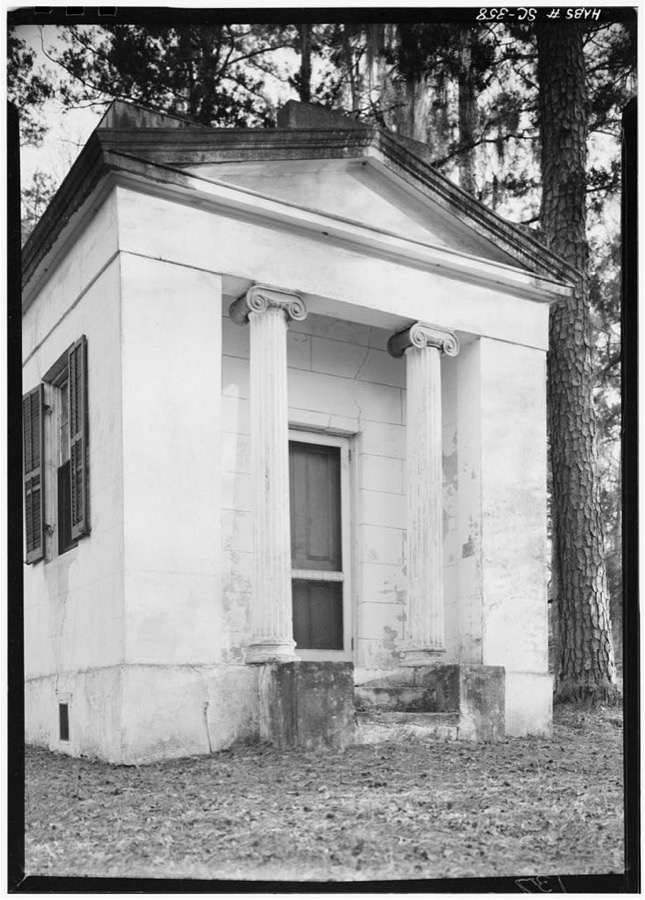
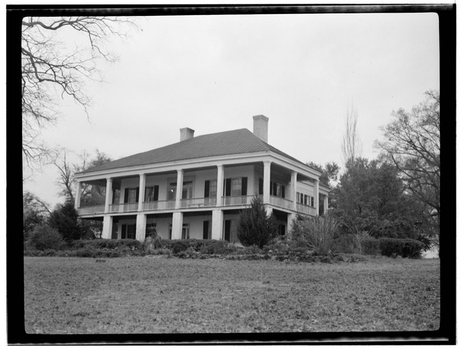
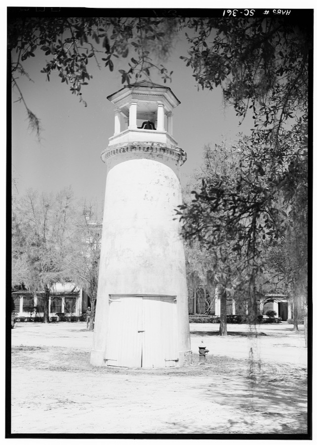
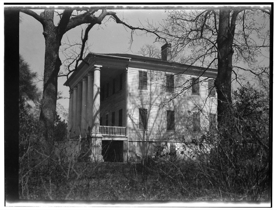
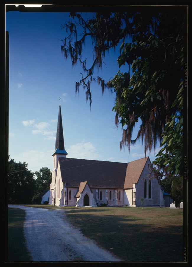
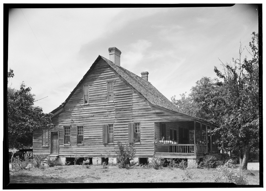
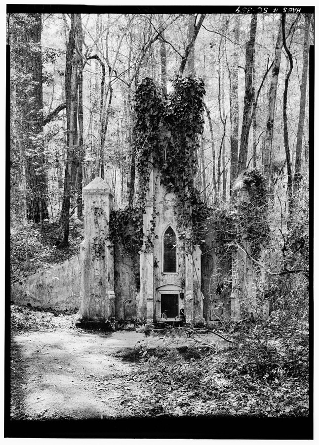
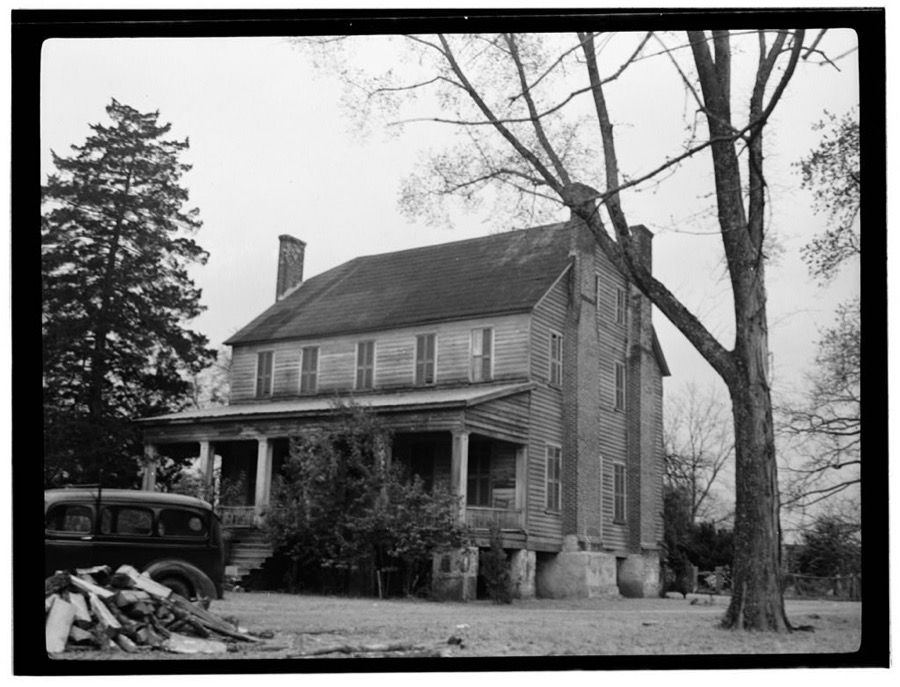
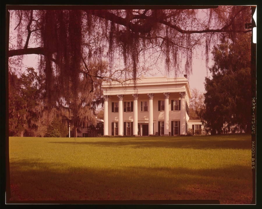
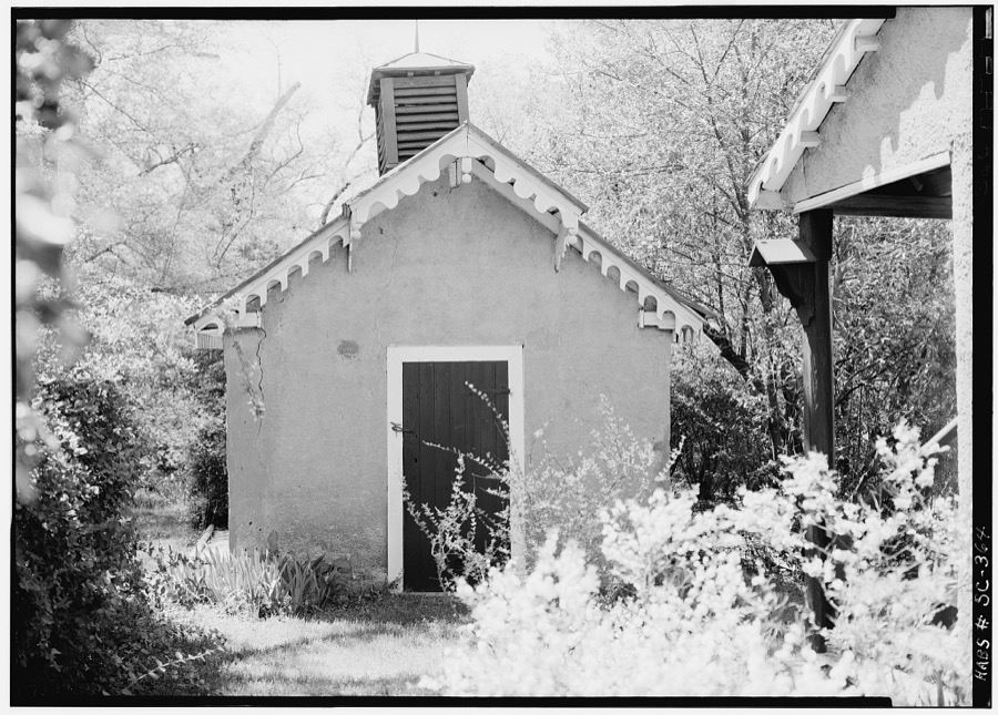
Every property in this county listed on the National Register of Historic Places, with the year it was listed and the federal nomination document.
| Photograph | Property | Type | Listed | Reference |
|---|---|---|---|---|
 | Borough House Plantation | building | 1972 | 72001224 |
 | J. Clinton Brogdon House | building | 1993 | 93000585 |
 | Carnegie Public Library | building | 1994 | 94000814 |
| Ellerbe's Mill | building | 1974 | 74001880 | |
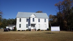 | Goodwill Parochial School | building | 1997 | 97000523 |
 | Heriot-Moise House | district | 1989 | 89002149 |
 | Holy Cross Episcopal Church | building | 1973 | 73001732 |
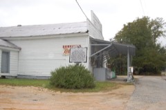 | Lenoir Store | building | 1997 | 97000744 |
 | Lincoln High School | building | 2015 | 14001221 |
 | Magnolia Hall | building | 1999 | 99000101 |
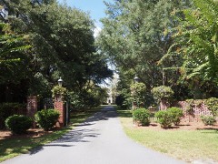 | Charles T. Mason House | building | 1997 | 97000745 |
 | Mayesville Historic District | district | 1979 | 79002395 |
 | Millford Plantation | building | 1971 | 71000808 |
 | O'Donnell House | building | 1996 | 96000407 |
 | Orange Grove | building | 1993 | 93000845 |
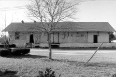 | Pinewood Depot | building | 1997 | 97000535 |
| Poinsett State Park Historic District | district | 2016 | 16000311 | |
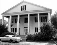 | Rip Raps Plantation | district | 1978 | 78002532 |
 | Salem Black River Presbyterian Church | building | 1978 | 78003091 |
 | Henry Lee Scarborough House | building | 1995 | 94001560 |
| Singleton's Graveyard | site | 1976 | 76001713 | |
| St. Mark's Church | building | 1978 | 78002530 | |
 | Stateburg Historic District | district | 1971 | 71000809 |
 | Sumter County Courthouse | building | 2004 | 04000619 |
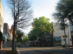 | Sumter Historic District | district | 1975 | 75001707 |
 | Sumter Town Hall-Opera House | building | 1973 | 73001733 |
 | Temple Sinai | building | 1999 | 98001645 |
 | Elizabeth White House | building | 1978 | 78002531 |
Sampled issues, machine-read from the Library of Congress scan and published page by page, so every headline and column is searchable text.
Sumter, S.C., 1881 to 1930. Machine-read from the Library of Congress scan.
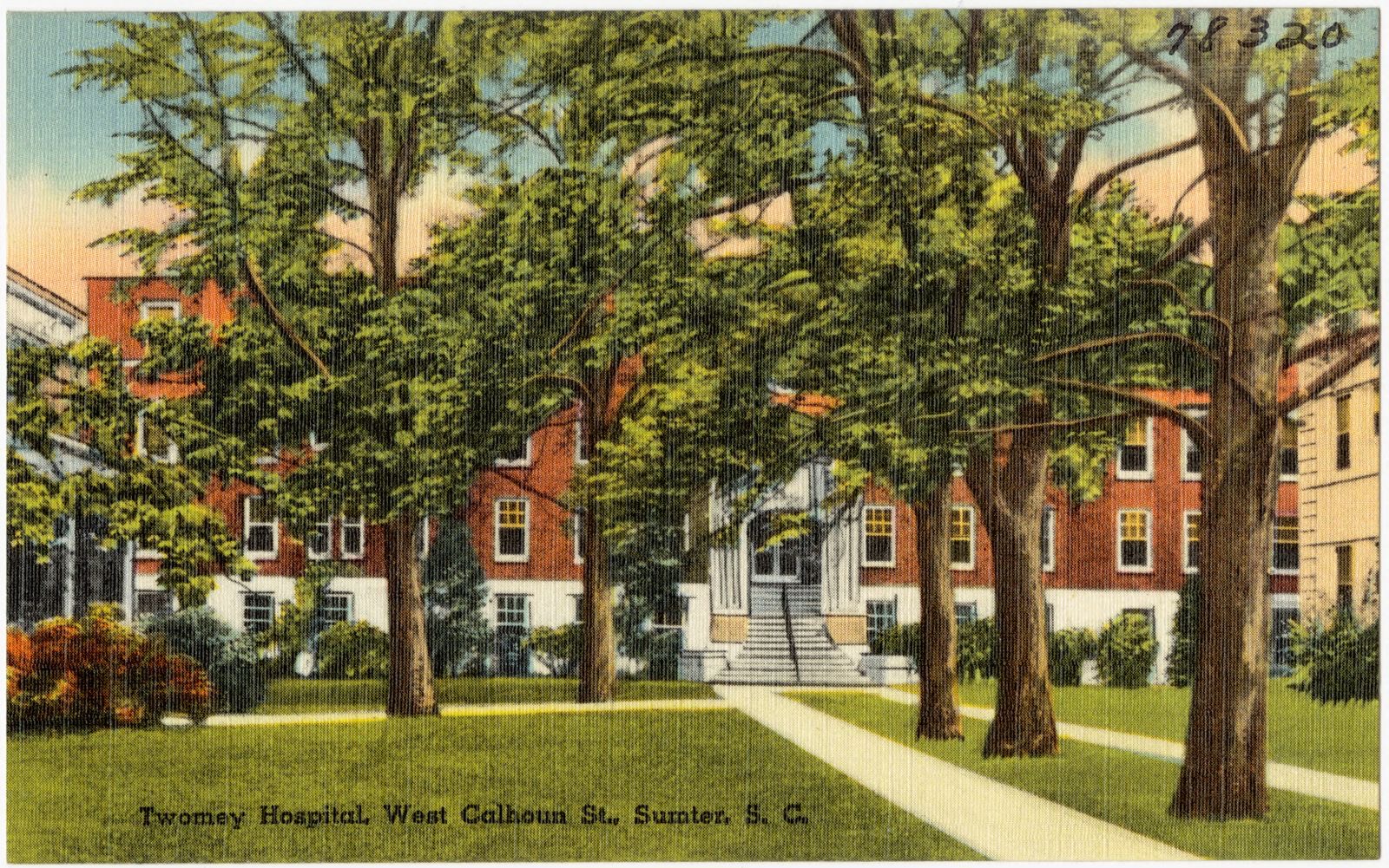
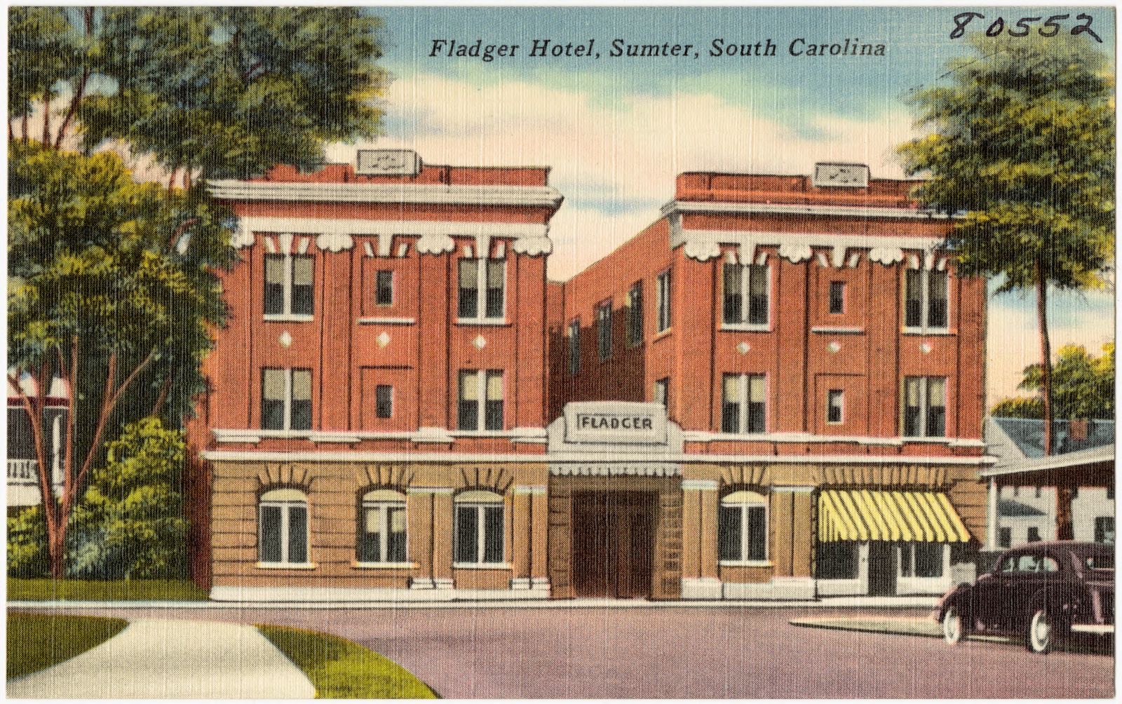
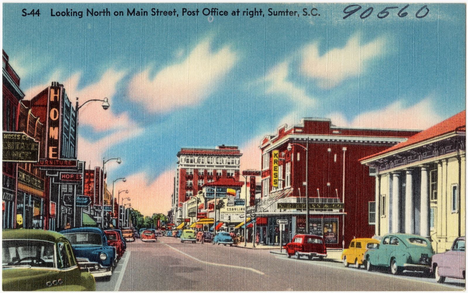
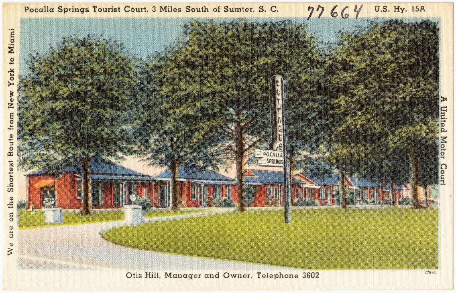
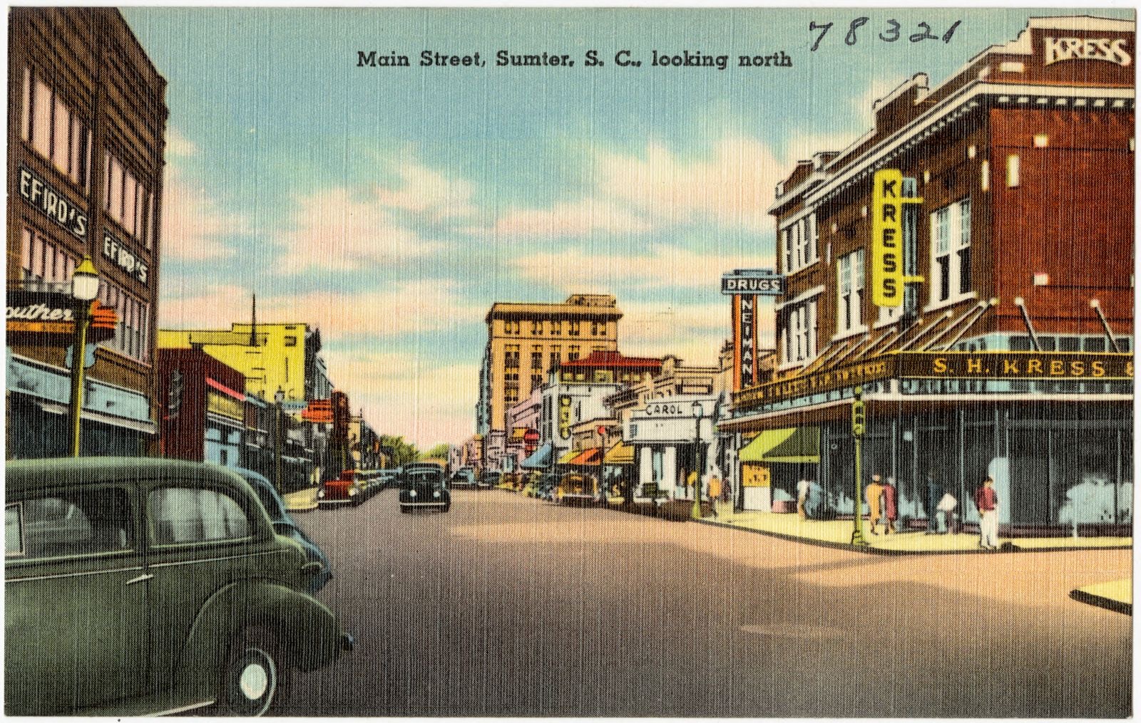
Selected from the Digital Public Library of America's 23 image records catalogued for this county. Every one shown here carries a public-domain status or a licence that permits reuse on a site that carries advertising; non-commercial, share-alike and restricted images are excluded. The selection is spread across the county's towns (at most eight per town), so no single institution's bulk upload crowds out the rest. Each opens the holding library's record, and the complete set at the Digital Public Library of America is one click away.












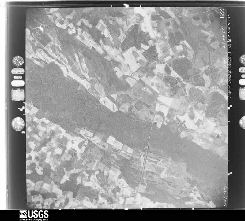
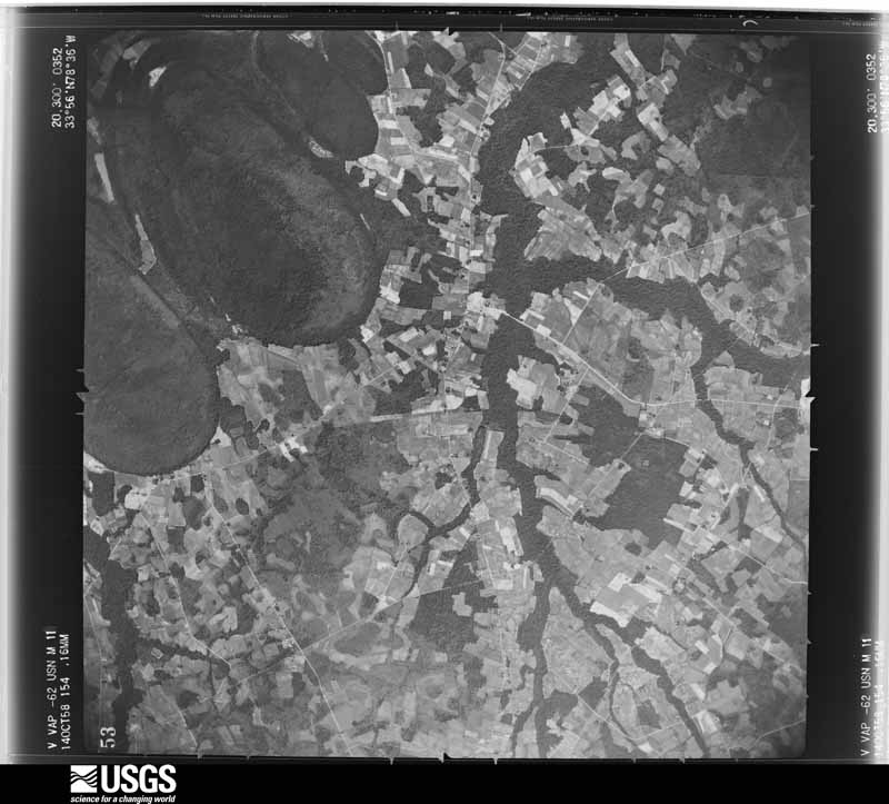
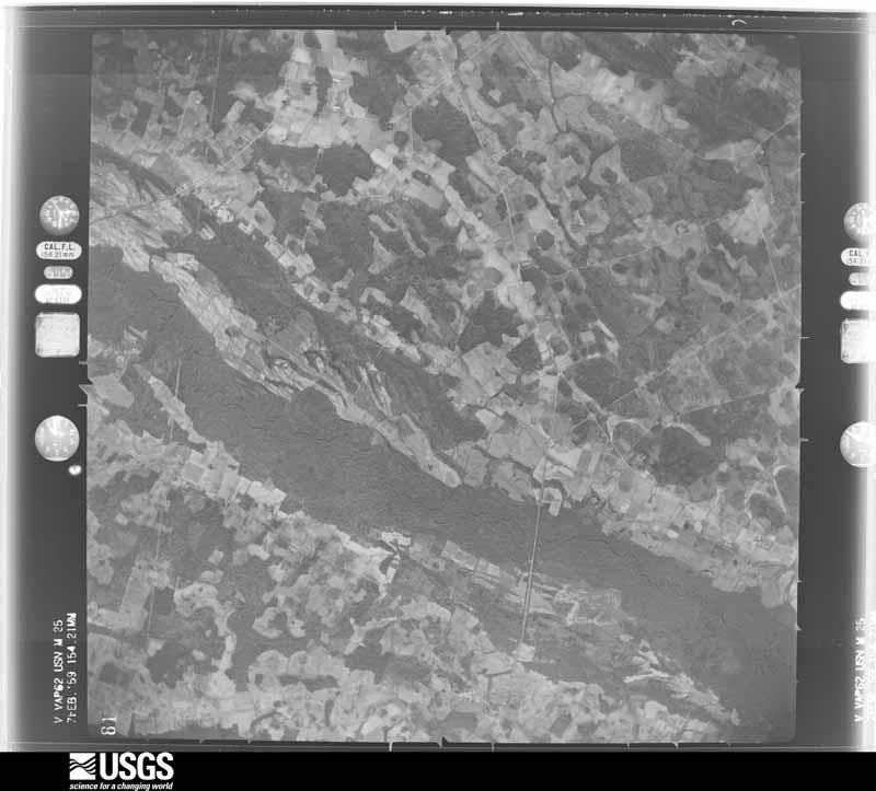
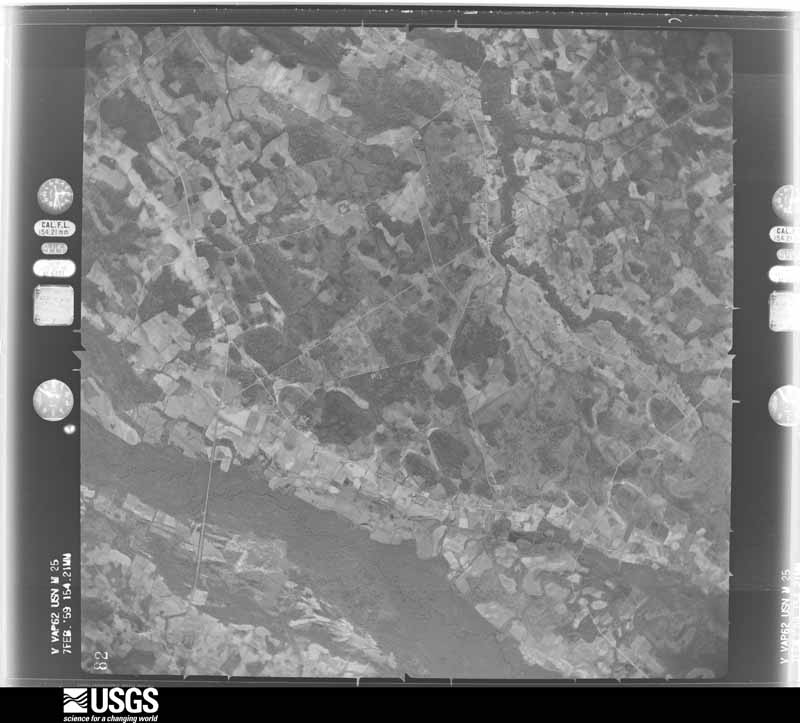
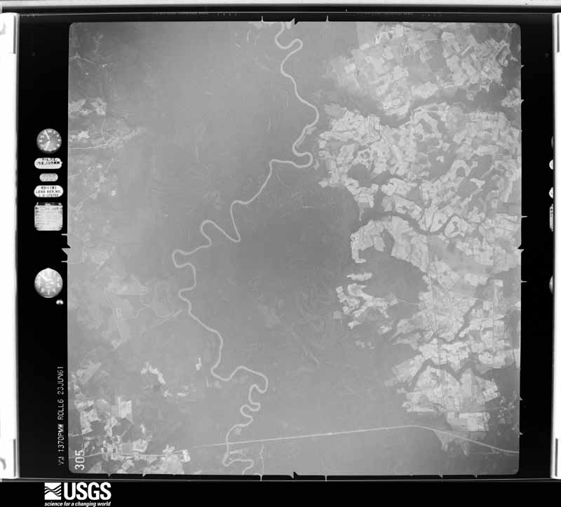
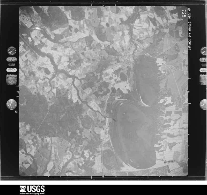
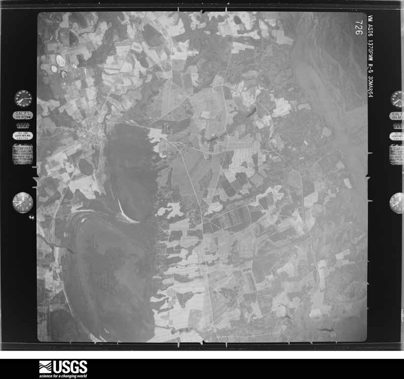
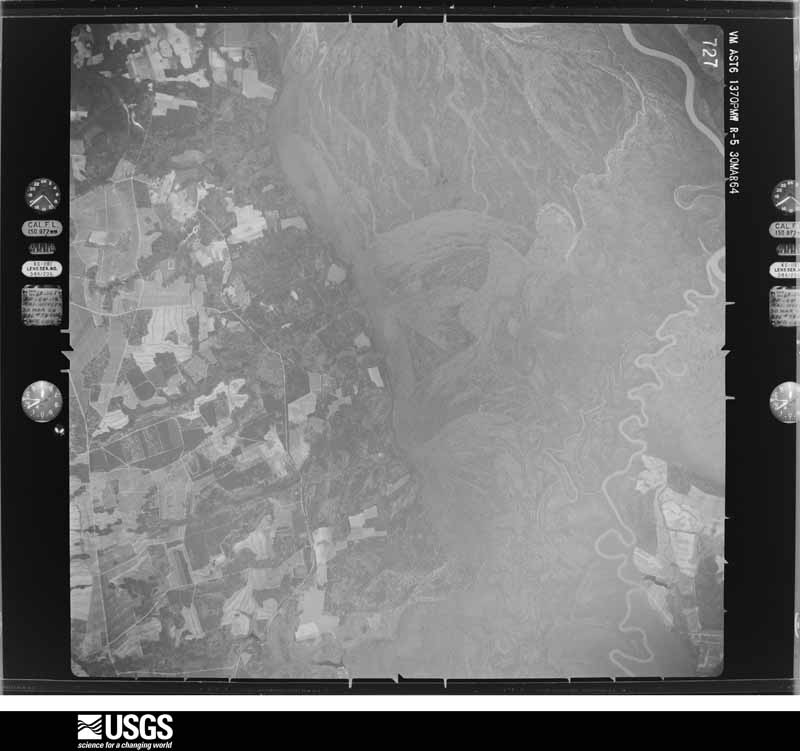
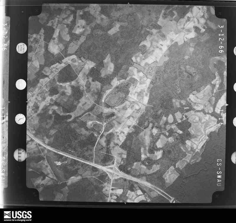
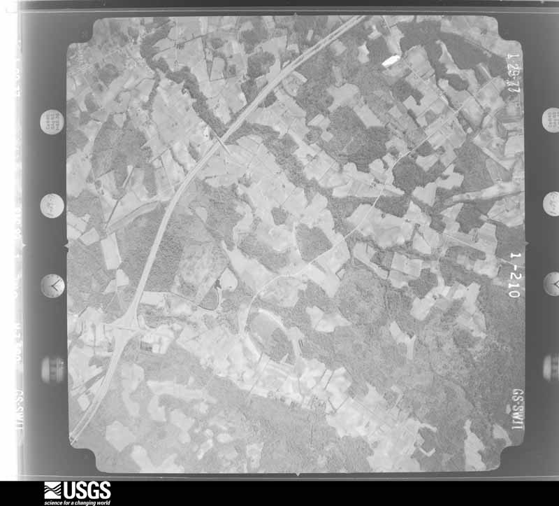
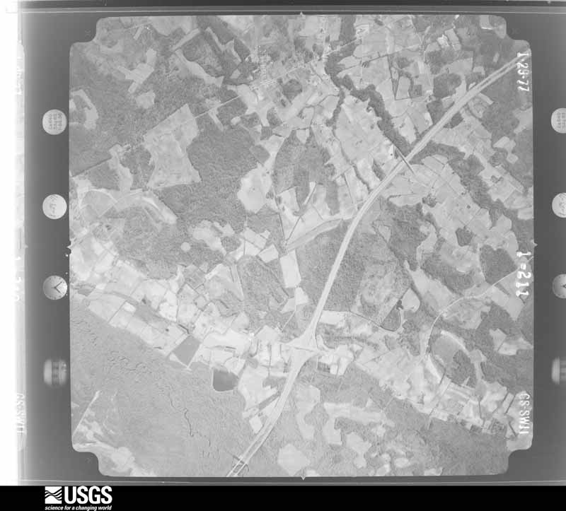
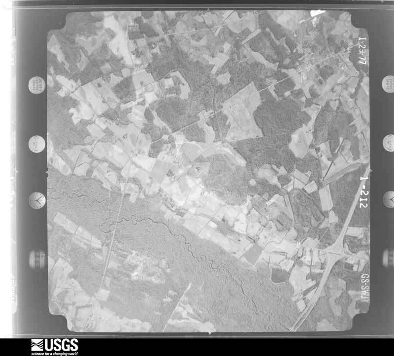
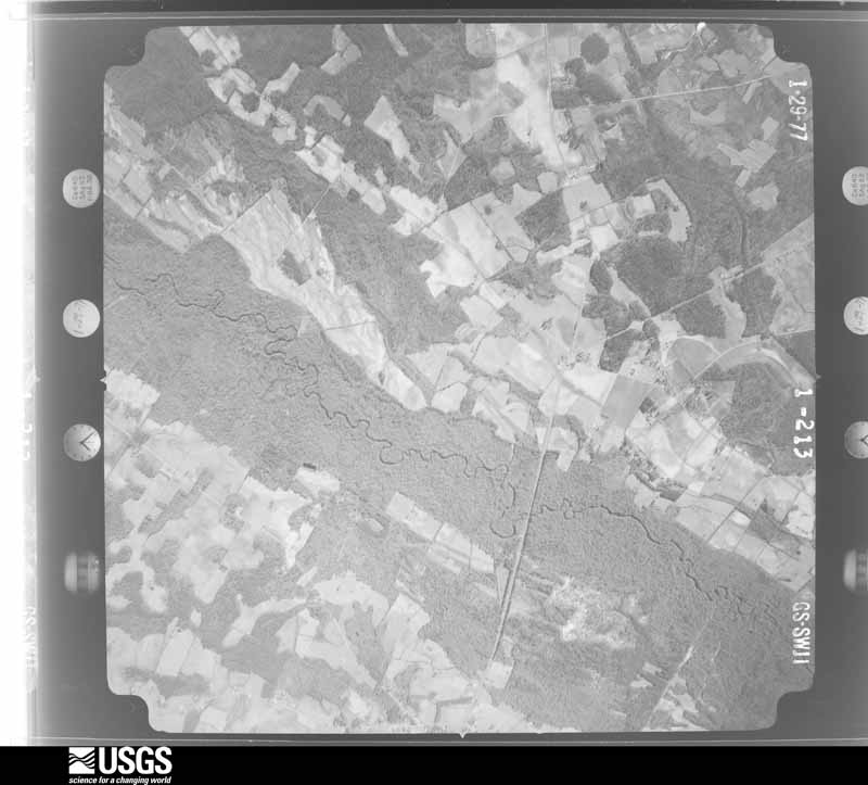
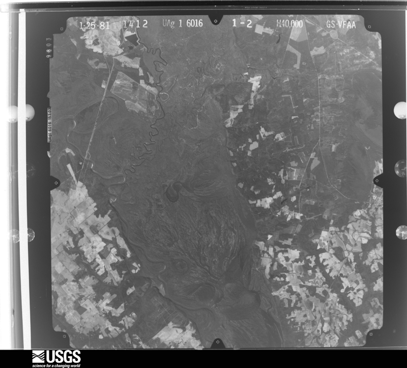
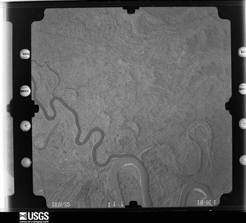
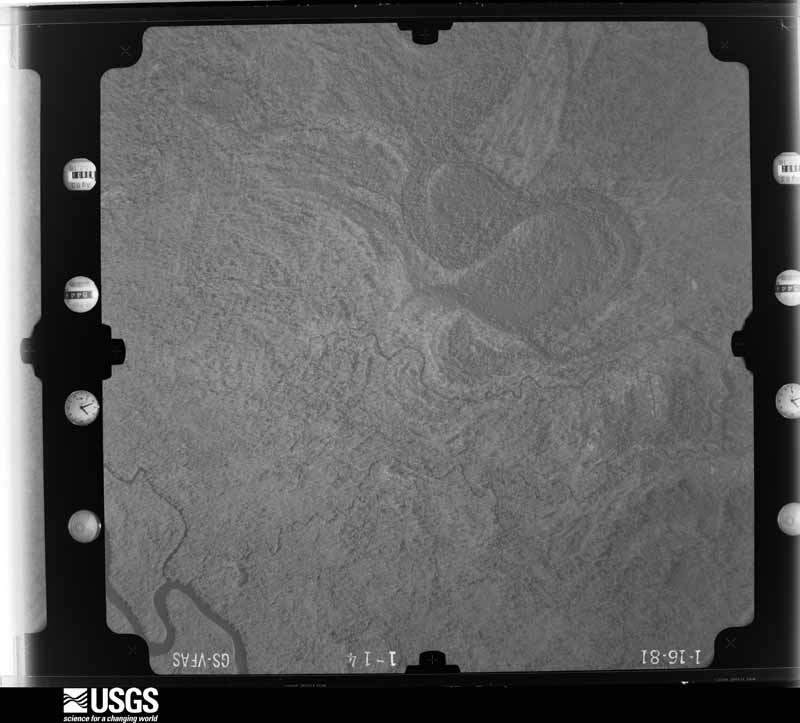
Flown by the U.S. Geological Survey between 1937 and 1989, the Aerial Photo Single Frames collection is the definitive mid-century view of the land: fields, roads and rivers as the camera saw them. The Survey holds 2,708 frames inside the rectangle that bounds this county; the 48 frames below were taken over the county itself, chosen across the decades of flights (at most four a year from that rectangle), so one flight cannot crowd out the rest. The full set is free to browse and download at EarthExplorer under the dataset Aerial Photo Single Frames.
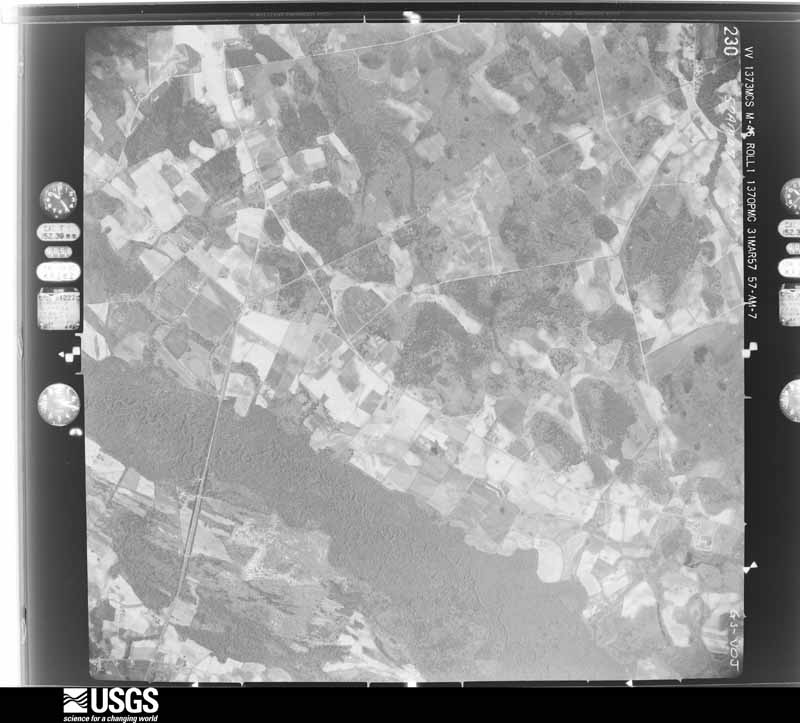
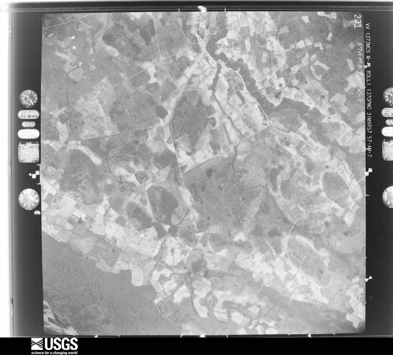
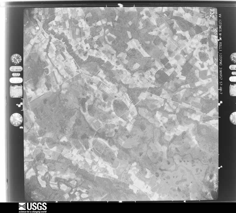
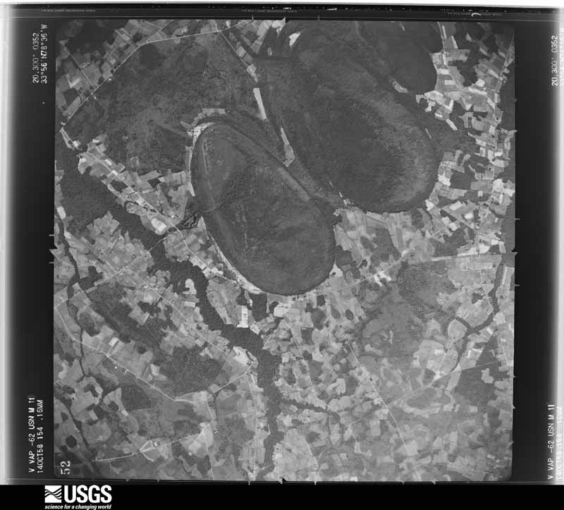
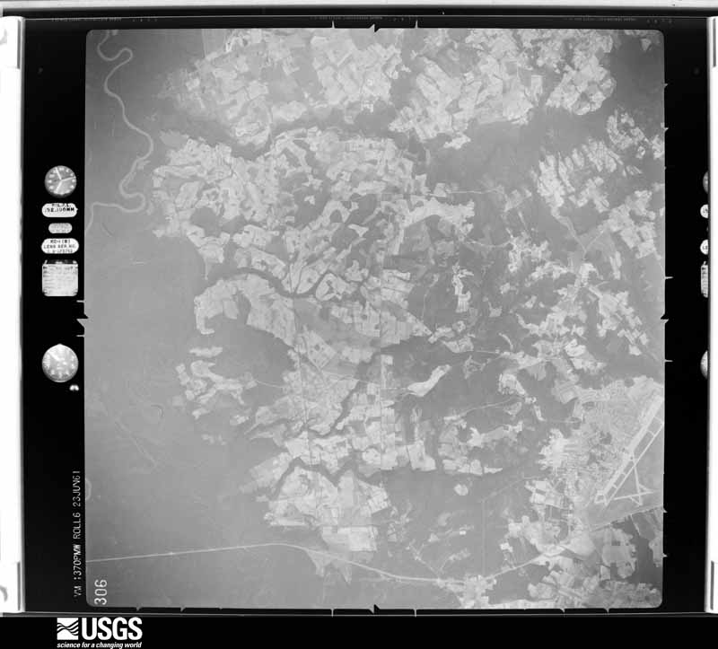
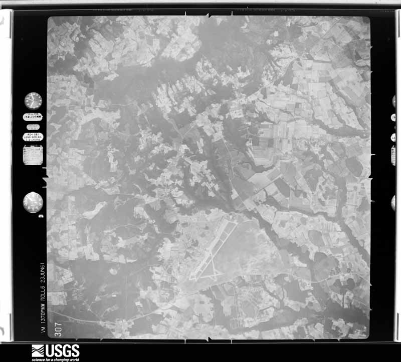
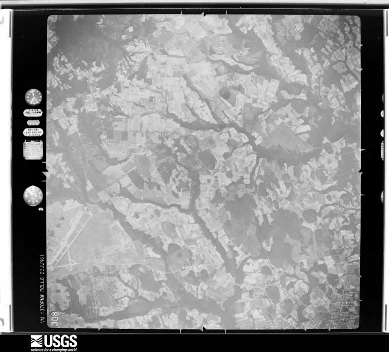
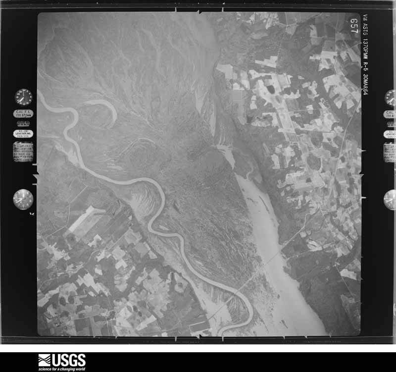
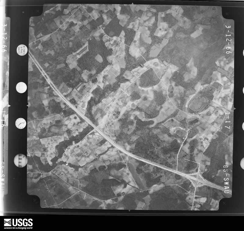
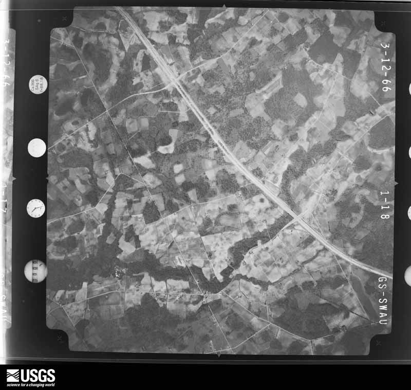
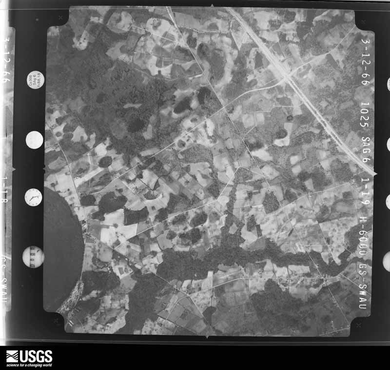
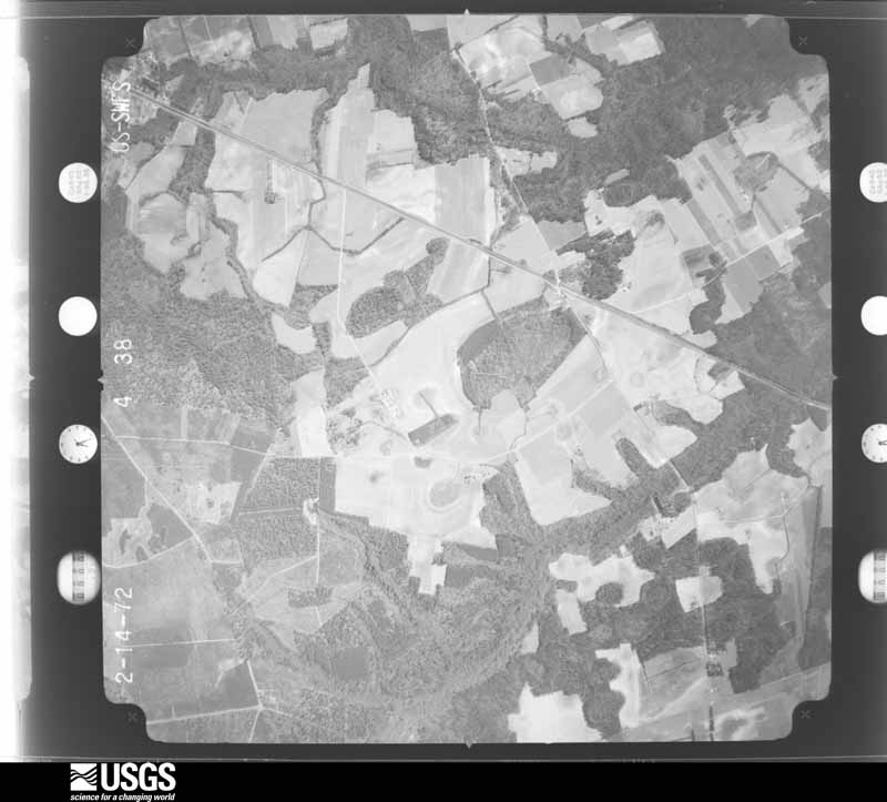
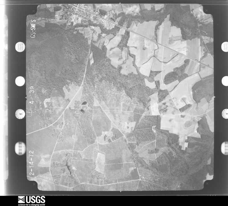
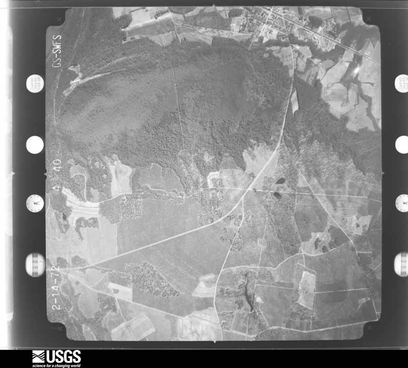
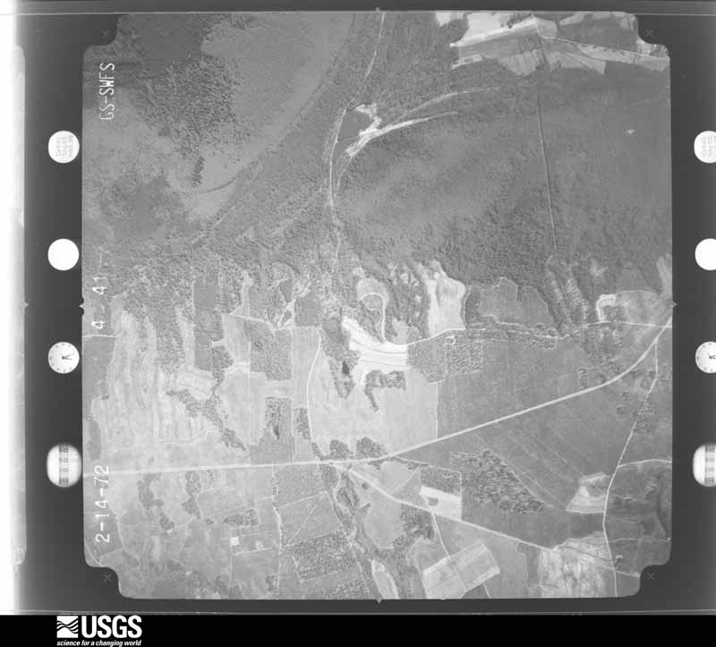

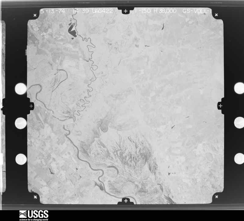
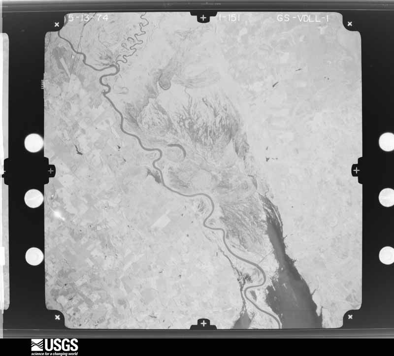

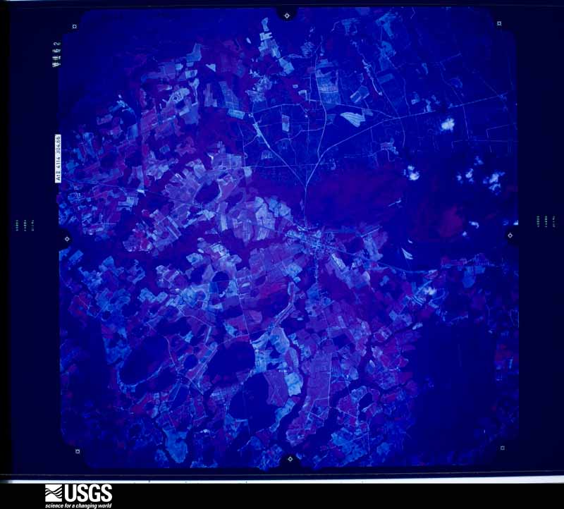
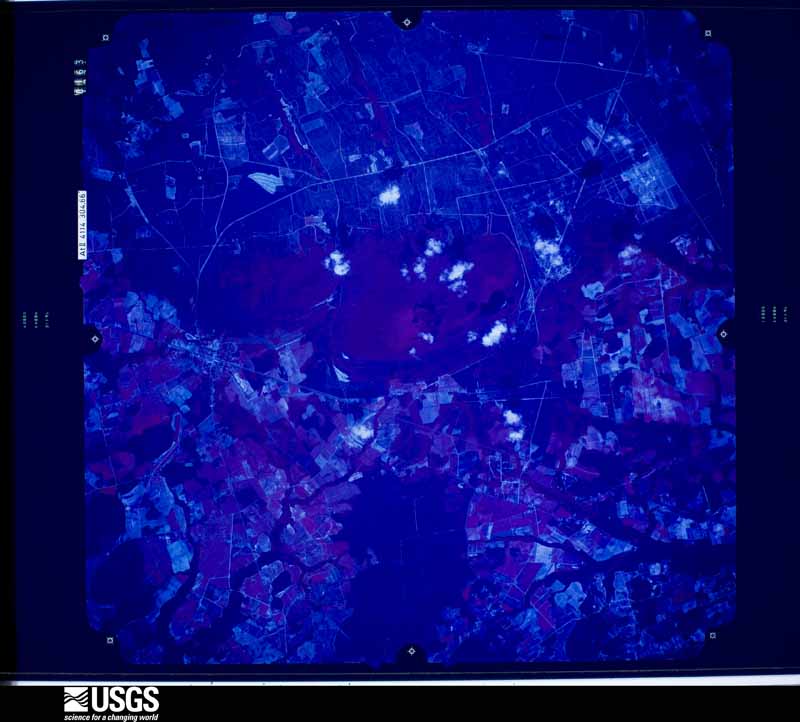
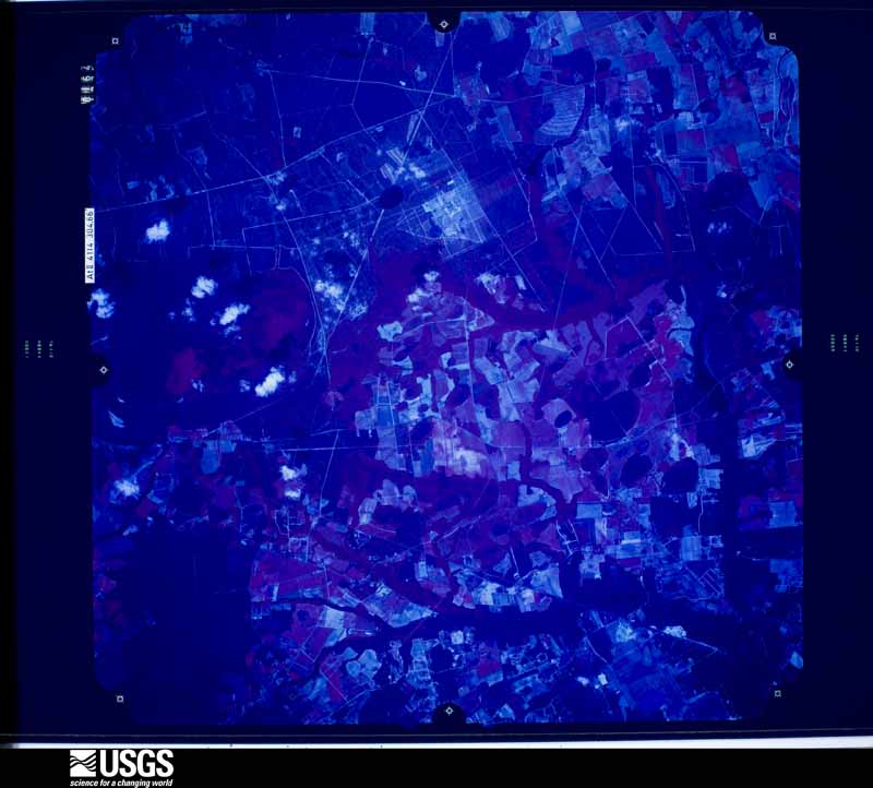

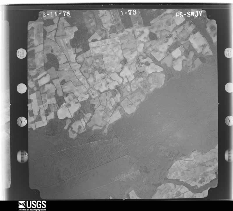
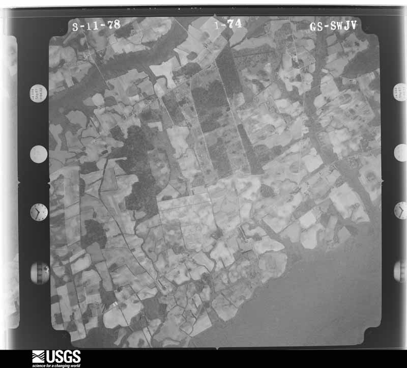
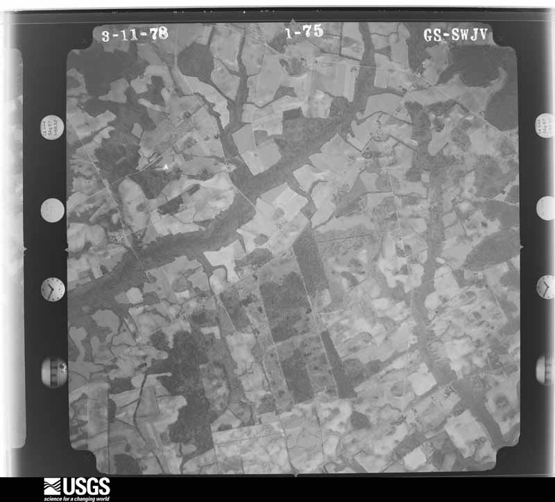
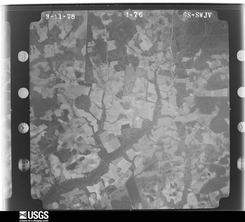
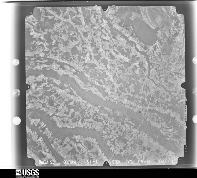
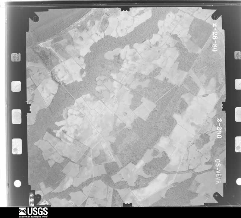
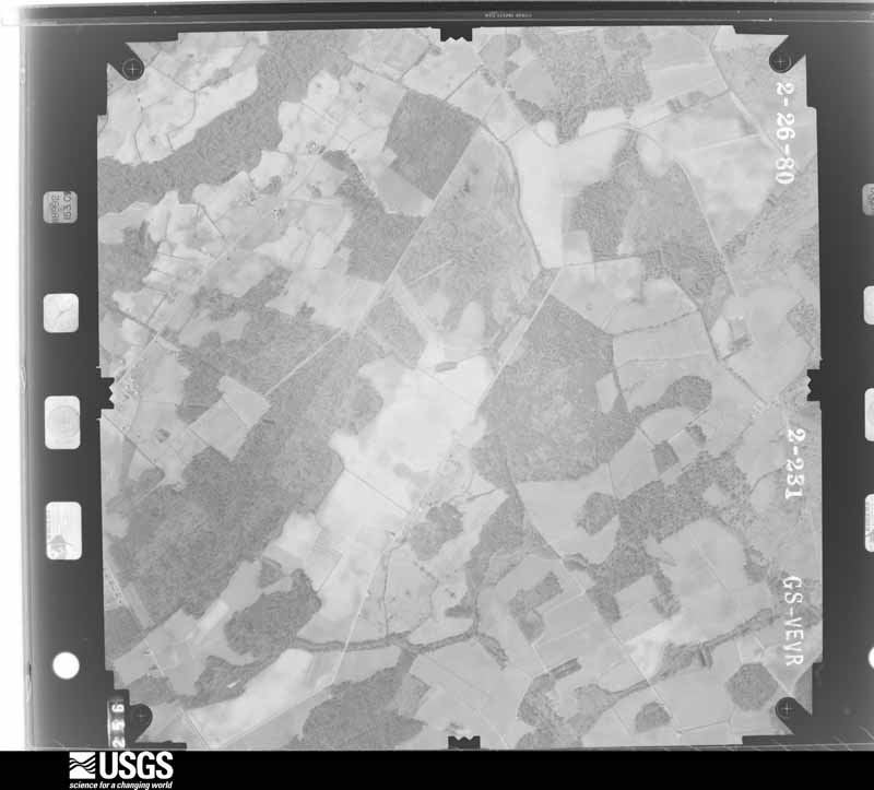
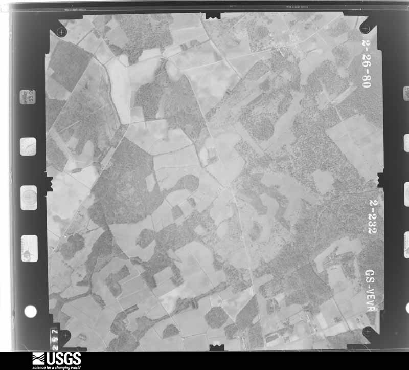

The thermometers that kept this county's weather, and the gages that measured the flow of its streams, as the federal records hold them. The extremes below are measured values from those records, not estimates.
Who lived here in 1950, one enumeration district at a time, as the Census Bureau described each district. Each row opens its official National Archives result, with Population Schedules and ED Maps available there.
Every wildfire the federal occurrence database records inside this county: 2,717 of them, burning about 18,811 acres. 38 started naturally and 482 were recorded as arson. Each settlement page carries the fires within five miles of it.
| Reported cause | Fires |
|---|---|
| Debris and open burning | 1141 |
| Missing data/not specified/undetermined | 812 |
| Arson/incendiarism | 482 |
| Equipment and vehicle use | 87 |
| Misuse of fire by a minor | 84 |
| Smoking | 39 |
| Natural | 38 |
| Power generation/transmission/distribution | 16 |
| Recreation and ceremony | 6 |
| Railroad operations and maintenance | 5 |
| Other causes | 5 |
| Fireworks | 2 |
The five largest, by the area the report gives. Two of them were set deliberately.
| Date | Cause | Size | Reported by | Name on the report |
|---|---|---|---|---|
| 17 April 2001 | Missing data/not specified/undetermined | 3,684 acres | South Carolina Forestry Commission | PINEWOOD |
| 21 March 1995 | Missing data/not specified/undetermined | 295 acres | South Carolina Forestry Commission | not named |
| 31 July 2008 | Natural | 180 acres | South Carolina Forestry Commission | THREE MILE BRANCH ROAD |
| 13 July 1993 | Missing data/not specified/undetermined | 165 acres | South Carolina Forestry Commission | not named |
| 26 October 2001 | Arson/incendiarism | 150 acres | South Carolina Forestry Commission | not named |
| 20 February 1994 | Missing data/not specified/undetermined | 135 acres | South Carolina Forestry Commission | not named |
| 7 April 2013 | Arson/incendiarism | 130 acres | South Carolina Forestry Commission | not named |
| 17 February 1999 | Debris and open burning | 125 acres | South Carolina Forestry Commission | not named |
Every settlement page carries the fires within five miles of it - see the settlement index below.
The NOAA Storm Events Database holds 640 reports for this county, causing 2 deaths, 19 injuries and about $8,734,320 in recorded property damage. Each settlement page carries the reports that name it.
| Kind of event | Reports |
|---|---|
| Thunderstorm Wind | 423 |
| Hail | 138 |
| Flash Flood | 32 |
| Tornado | 28 |
| Heavy Rain | 9 |
| Lightning | 7 |
| Flood | 2 |
| Funnel Cloud | 1 |
The most serious of them, by death, then injury, then recorded damage. The accounts are quoted exactly as the forecast office filed them.
| When | Event | Place named | Harm | What the report says |
|---|---|---|---|---|
| April 2007 | Tornado (EF3) | Pinewood | 1 killed, 5 hurt | An EF3 tornado traveled from southwest to northeast of Sumter destroying a seven mobile homes, severely damaging nine framed homes, and doing light to moderate damage to an additional 62 mobile and framed homes. There was 1 fatality and 3 injuries. The tornado touched down as an EF1 and ended as an EF3 where the fatality occurred at a mobile home on hwy 76. |
| May 1991 | Thunderstorm Wind | not stated | 1 killed, 1 hurt | no account filed |
| June 2006 | Hail | Sumter | 9 hurt | Walters Care Facility reported penny size hail and strong winds with small limbs down. |
| September 2004 | Tornado (F2) | Sumter | 3 hurt, $1,700,000 | Emergency manager reported 55 homes damaged, 9 destroyed, and 3 injuries. |
| March 1992 | Thunderstorm Wind | not stated | 1 hurt | no account filed |
| September 1989 | Tornado (F1) | not stated | $2,500,000 | no account filed |
| August 2012 | Lightning | Shiloh | $1,300,000 | The Item reported that the Shiloh United Methodist Church, built in 1831, was destroyed by fire. Damage estimates were at 1.3 million dollars. |
| September 1999 | Thunderstorm Wind | Countywide | $738,000 | EPD reported scattered trees and powerlines down. Eighty four homes had minor damage, 12 had major damage, and 10 mobile homes had minor damage. |
| November 1985 | Tornado (F0) | not stated | $250,000 | no account filed |
| July 1997 | Lightning | Sumter | $225,000 | Lightning destroyed half of a Longleaf Drive home. |
| April 2011 | Hail | (Ssc)Shaw Afb Sumter | $100,000 | Public reported hail up to tennis ball size near Shaw AFB. |
| January 1995 | Thunderstorm Wind | Sumter | $100,000 | Many roofs and mobile homes in Sumter damaged by winds. Trees and power lines down. |
| June 2010 | Thunderstorm Wind | Sumter | $88,000 | Emergency Manager reported trees and powerlines down. Three roofs on buildings heavily damaged at the public works facility and a couple of trees were on homes on Jerry Street and Hwy 15. |
| September 2011 | Lightning | Sumter | $87,000 | Sumter County Newspaper reported a barn struck by lightning burnt down and 9 horses were killed. |
| April 2012 | Hail | Sumter Dabbs Fld Arp | $80,000 | Public reported quarter size hail damaged their windshield near mile marker 135 on I-95. Other vehicles sustained damaged windshields and dents. |
| July 2010 | Tornado (EF1) | Claremont | $80,000 | NWS and Emergency Manger found numerous trees down and minor to moderate damage to about a dozen homes. Many homes sustained damage from trees being deposited on them. |
| September 1996 | Tornado (F2) | Sumter | $75,000 | no account filed |
| April 2011 | Hail | (Ssc)Shaw Afb Sumter | $60,000 | Public reported golfball size hail west of Sumter near Shaw AFB. |
| April 2011 | Hail | (Ssc)Shaw Afb Sumter | $60,000 | Public reported 2 inch hail near Shaw AFB. |
| April 2011 | Hail | (Ssc)Shaw Afb Sumter | $60,000 | Public reported golfball to egg size hail near Shaw AFB. |
| April 2011 | Hail | Sumter | $60,000 | Public reported 3 inch hail near Sumter. |
| June 2007 | Thunderstorm Wind | Wedgefield | $50,000 | Sheriff reported two mobile homes had moderate damage, a tree was on a house, and a porch was blown off another house. |
| May 1997 | Thunderstorm Wind | Sumter | $50,000 | no account filed |
| June 2015 | Thunderstorm Wind | Shannontown | $48,000 | Dispatcfh reports multiple trees down on vehicles on Plowden Mill Road. |
| April 2011 | Tornado (EF1) | Privateer | $48,000 | NWS Storm Survey confirmed an EF1 tornado of winds near 90 mph had intermittent touch downs along its path. Numerous trees were either blown over or snapped. Minor damage was done to several homes. |
| September 2024 | Tornado (EF0) | Stateburg | $45,000 | A brief, but wide, EF-0 tornado associated with Hurricane Helene |began near Squaw Valley Road north of Wedgefield in Sumter County |at 532 AM. The tornado uprooted multiple trees and snapped large|branches as it moved north across Cane Savannah Rd and eventually|Route 76/378. It continued into a neighborhood causing additional|large tree damage, with a tree falling across Brookland Drive.|One home on Brookland Drive suffered damage from a large|tree falling on it, while other yards had multiple large limbs|snapped and/or trees uprooted. The tornado continued northwest|causing a large tree to uproot and fall across powerlines and|North Kings Highway which caused traffic delays. The tornado|turned slightly more northward where it uprooted trees and|snapped large limbs near the Beech Creek Golf Club before it|lifted around 538 AM. |
| April 2011 | Hail | Sumter | $40,000 | Spotter reported hail ranging from quarter size to golfball size covering the ground in Sumter. |
| April 2011 | Hail | Sumter | $40,000 | COCORAHS Observer reported golfball size hail near the USC Sumter campus. |
| April 2011 | Hail | Dalzell | $40,000 | Golfball size hail reported in Dalzell - relayed by COCORAHS observer. |
| May 2012 | Lightning | Sumter | $30,000 | The Sumter County Newspaper reported that the Sumter Opera House was struck by lightning which caused structural damage to the metal roof and building. Bricks from the four story structure were blown out of the building and into the parking lot and street. |
| May 1967 | Tornado (F1) | not stated | $25,000 | no account filed |
| September 1963 | Tornado (F2) | not stated | $25,000 | no account filed |
| June 2010 | Thunderstorm Wind | Sumter | $24,000 | Sheriff reported numerous trees down over the western part of the county. |
| September 2011 | Flash Flood | Sumter | $22,000 | Flood waters entered a residence near Sand Hill Dr. and McCorays Mill Rd....and at at the Friendship Apt. on E. Calhoun St. in Sumter. Also...numerous reports of street flooding were received. |
| June 2025 | Flash Flood | Pinckney Xrds | $20,000 | Sumter dispatch reported multiple cars stuck in flood waters around the Oakland and Dalzell areas. |
| August 2023 | Lightning | Brent | $20,000 | Dispatchers reported that lightning struck a home on Queen Chapel Road and caused a fire which produced minor damage. Exact monetary value of damage unknown. |
| April 2011 | Thunderstorm Wind | Hagood | $18,000 | Black River Electric reported powerlines down and outages in Sumter County. |
| April 2011 | Tornado (EF0) | Shiloh | $18,000 | Emergency Manager reported trees down on Forge road and Pudding Swamp road in the Shiloh Community from an EF0 tornado. |
| May 2011 | Thunderstorm Wind | Wedgefield | $18,000 | Sheriff dispatch reported trees down at Highway 378 and Highway 261 and also along Highway 261 to Wedgefield. The Sumter Newspaper also reported around 80 trees snapped off on San Souci Farms near Statesburg. |
| June 2010 | Thunderstorm Wind | Claremont | $18,000 | Sheriff reported trees and powerlines down. |
| July 2009 | Lightning | Sumter | $16,000 | Two homes on Kaempfer Circle were struck by lightning causing moderate damage to one and minimal damage to the other. |
| April 2011 | Thunderstorm Wind | Sumter | $14,000 | Sheriff reported trees down on Hwy 261, Livestock Road, and Nazarene Road. |
| July 2013 | Thunderstorm Wind | Sumter | $12,000 | Sumter County Dispatch reported trees and powerlines down in Sumter. |
| September 2011 | Thunderstorm Wind | Dalzell | $12,000 | Trees down between Sumter and Rembert at Catchall Rd. and SC 261 and also at Furman Field Rd. and US 521. |
| April 2011 | Thunderstorm Wind | Mc Bride Corners | $12,000 | Black River Electric Coop reported trees and powerlines down near Maywood Middle School. |
| May 2009 | Thunderstorm Wind | Sumter | $12,000 | Public reported several trees down and powerlines down. A few telephone poles were broken and there was minor damage to roofs of county buildings. |
| June 2025 | Flash Flood | Stateburg | $10,000 | Sumter Sheriff office reported multiple stalled vehicles over the past hour on Hwy 261 near Raccoon Rd where Beech Creek had flowed out of its banks across the road. |
| March 2023 | Flash Flood | Shannontown | $10,000 | Sumter Co EM provided reports and photos of flooding at a recycling center near Liberty St and Fort St, and flooded and impassable roads near Oswego Hwy (US Hwy 401) and E. Calhoun St in Sumter. Times estimated. |
| March 2023 | Flash Flood | Sumter | $10,000 | Sumter Co EM provided reports and photos of flooded and impassable road, and at least one flooded vehicle, at E. Pike St at Bagnall Dr. Times estimated. |
| March 2023 | Flash Flood | Sumter | $10,000 | Sumter Co EM reported water entered the lobby of a nursing home at 431 N. Main St in Sumter. Times estimated. |
| October 2016 | Flash Flood | Quints Xrds | $10,000 | Reported numerous roadways in and around the city of Sumter that were closed due to high water. Some of the roads impacted were Brewington Road...Camden Highway...Cook Street...Dingle Street...Liberty Street...Watkins Street and Plowden Mill Road. |
| October 2016 | Flash Flood | Tindal | $10,000 | Reported Nazarene Church Road washed out between Nettkes Road and Poole Road. |
| June 2015 | Thunderstorm Wind | Pocalla Spgs | $10,000 | Highway Patrol reported trees down throughout Sumter County. |
| March 2013 | Thunderstorm Wind | Tindal | $10,000 | Sheriff reported trees down along Pearson and Old Stone Roads. |
| April 2013 | Thunderstorm Wind | Dalzell | $10,000 | Public and Emergency Manager reported numerous trees down around the Dalzell area. The Public reported 47 trees either downed or leaning over in the Kel Sam Farms Subdivision in Dalzell. |
| February 2012 | Tornado (EF0) | Pinewood | $10,000 | EM and Sheriff conducted a damage survey and found an EF0 tornado took downs some trees and tops out of trees from near Lake Marion to the southwest side of Pinewood. There was no structural damage. |
| June 2011 | Thunderstorm Wind | Dalzell | $10,000 | Sheriff and public reported trees down across western Sumter county from Cherryvale area to the Privateer area. |
| April 2011 | Hail | (Ssc)Shaw Afb Sumter | $10,000 | Sheriff dispatch reported quarter size hail near Broad Street and Cherryhill Drive. |
| November 2008 | Tornado (EF0) | Pinewood | $10,000 | Storm survey found an EF1 touched down just southwest of Lone Star and continued northeast across Lake Marion into rural Sumter county. Several trees and a few powerlines were down along its path. |
| November 2008 | Thunderstorm Wind | Mayesville | $10,000 | Black River Electric Coop reported large limbs and some powerlines down. |
The Survey's mineral resources record lists 24 workings inside this county. 8 still produce and 16 are closed or unrecorded. Each settlement page carries the workings within five miles of it.
| Commodity | Workings |
|---|---|
| Sand and Gravel, Construction | 11 |
| Clay | 5 |
| Iron | 5 |
| Iron, Zirconium, Thorium, Titanium | 2 |
| Titanium, Thorium, Iron, Zirconium | 1 |
| Zirconium, Iron, Thorium, Titanium | 1 |
The least common of them first, because a county's hundredth gravel pit says nothing its first ten did not.
| Where | Site | Commodity | Status | Recorded |
|---|---|---|---|---|
| Becker Sand and Gravel | Sand and Gravel, Construction, Zirconium, Iron, Thorium, Titanium | Unknown | Tailings | |
| Gum Swamp | Titanium, Thorium, Iron, Zirconium | Unknown | Placer , Modern , Fluvial | |
| Horatio | Iron, Zirconium, Thorium, Titanium | Unknown | Placer , Modern , Fluvial | |
| Wateree River | Iron, Zirconium, Thorium, Titanium | Unknown | Placer , Modern , Fluvial (Gravel Bar) | |
| C G Rowland Prospect | Iron | Prospect | ||
| Francis Moise Prospect | Iron | Prospect | ||
| H M Mclaurin Prospect | Iron | Prospect | ||
| Lake Marion Mine | Clay | Past Producer | ||
| Mingo Mine | Clay | Producer | ||
| Unidentified Mine | Clay | Unknown | Sedimentary | |
| Victor Moise Prospect | Iron | Prospect | ||
| Wedgefield Mine | Clay | Unknown | Sedimentary | |
| Wedgefield Waterree Pit | Clay | Producer | ||
| White's Mill Prospect | Iron | Prospect | ||
| Becker Pit | Sand and Gravel, Construction | Unknown | Sedimentary | |
| Becker Pit | Sand and Gravel, Construction | Producer | ||
| Camden Pit | Sand and Gravel, Construction | Unknown | Sedimentary | |
| Camden Pit | Sand and Gravel, Construction | Producer | ||
| Hagood Sand - Gravel Pit | Sand and Gravel, Construction | Past Producer | Sedimentary | |
| Harvin Sand + Gravel Mine | Sand and Gravel, Construction | Unknown | Sedimentary | |
| Hasskamp Mine | Sand and Gravel, Construction | Producer | Sedimentary | |
| Horatio | Sand and Gravel, Construction | Producer | Sedimentary | |
| Smg Pit | Sand and Gravel, Construction | Producer | ||
| Sumter Asphalt Pit | Sand and Gravel, Construction | Producer |
Named settlements recorded in the Geographic Names Information System, each with the topographic sheets covering it. Villages, hamlets and abandoned places alike. Each is shown with the nearest named watercourse or landform and the survey quadrangle it falls on. The 2 places that were also surveyed for fire insurance come first, with the number of atlases and photographs held for them.
Sumter Northeast census division · 29104 · On Long Branch · Mayesville quadrangle
17 sheets, 1920 to 1990
Fire insurance: 3 atlases
Sumter census division · 29150 · On Powder Horn Branch · Sumter East quadrangle
16 sheets, 1946 to 1990
Fire insurance: 11 atlases
Sumter census division · 29150 · On Powder Horn Branch · Sumter East quadrangle
16 sheets, 1946 to 1990
Sumter census division · 29154 · On Nasty Branch · Sumter West quadrangle
17 sheets, 1946 to 1990
Sumter census division · 29150 · On Shot Pouch Branch · Sumter West quadrangle
17 sheets, 1946 to 1990
Sumter census division · 29154 · On Nasty Branch · Sumter West quadrangle
17 sheets, 1946 to 1990
Sumter North census division · 29153 · On Horsepen Branch · Sumter West quadrangle
17 sheets, 1946 to 1990
Sumter census division · 29150 · On Powder Horn Branch · Sumter West quadrangle
17 sheets, 1946 to 1990
Sumter census division · 29150 · On Noyts Branch · Sumter East quadrangle
16 sheets, 1946 to 1990
Sumter North census division · 29153 · On Lee Swamp · Oswego quadrangle
16 sheets, 1941 to 1988
Sumter Southeast census division · 29153 · On Boots Branch · Brogdon quadrangle
14 sheets, 1946 to 1990
Sumter Southeast census division · 29153 · Mayesville quadrangle
17 sheets, 1920 to 1990
Sumter census division · 29150 · On Powder Horn Branch · Sumter East quadrangle
16 sheets, 1946 to 1990
Sumter North census division · 29153 · Dalzell quadrangle
16 sheets, 1941 to 1988
Shaw AFB-Horatio census division · 29154 · On Hatchet Camp Branch · Sumter West quadrangle
17 sheets, 1946 to 1990
Sumter census division · 29150 · On Powder Horn Branch · Sumter East quadrangle
16 sheets, 1946 to 1990
Shaw AFB-Horatio census division · 29040 · On Spann Branch · Dalzell quadrangle
16 sheets, 1941 to 1988
Sumter census division · 29150 · On Shot Pouch Branch · Sumter West quadrangle
17 sheets, 1946 to 1990
Shaw AFB-Horatio census division · 29154 · On Suicide Branch · Sumter West quadrangle
17 sheets, 1946 to 1990
Sumter census division · 29154 · On Sooks Branch · Sumter East quadrangle
16 sheets, 1946 to 1990
Sumter Southeast census division · 29153 · On Turkey Creek · Sumter East quadrangle
16 sheets, 1946 to 1990
Sumter census division · 29150 · On Shot Pouch Branch · Sumter West quadrangle
17 sheets, 1946 to 1990
Sumter census division · 29150 · On Mush Swamp · Sumter West quadrangle
17 sheets, 1946 to 1990
Sumter census division · 29150 · On Mush Swamp · Sumter West quadrangle
17 sheets, 1946 to 1990
Rembert census division · 29128 · On Little Rafting Creek · Rembert quadrangle
19 sheets, 1938 to 1986
Shaw AFB-Horatio census division · 29168 · Wedgefield quadrangle
14 sheets, 1943 to 1990
Sumter census division · 29150 · On Mush Swamp · Sumter West quadrangle
17 sheets, 1946 to 1990
Sumter census division · 29150 · On Shot Pouch Branch · Sumter West quadrangle
17 sheets, 1946 to 1990
Rembert census division · 29128 · Rembert quadrangle
19 sheets, 1938 to 1986
No longer a settlement
Sumter census division · 29150 · On Shot Pouch Branch · Sumter East quadrangle
16 sheets, 1946 to 1990
Sumter census division · 29150 · On Powder Horn Branch · Sumter East quadrangle
16 sheets, 1946 to 1990
Sumter Southeast census division · 29153 · Sumter East quadrangle
16 sheets, 1946 to 1990
Sumter census division · 29154 · On Nasty Branch · Sumter East quadrangle
16 sheets, 1946 to 1990
Privateer census division · 29154 · Privateer quadrangle
15 sheets, 1946 to 1990
Shaw AFB-Horatio census division · 29168 · Near High Island · Wedgefield quadrangle
14 sheets, 1943 to 1990
Sumter Southwest census division · 29125 · On Mill Creek · Lone Star quadrangle
13 sheets, 1946 to 1990
Sumter North census division · 29040 · Dalzell quadrangle
16 sheets, 1941 to 1988
Sumter census division · 29150 · On Mile Branch · Sumter East quadrangle
16 sheets, 1946 to 1990
Sumter census division · 29153 · On Powder Horn Branch · Sumter East quadrangle
16 sheets, 1946 to 1990
Shaw AFB-Horatio census division · 29154 · Sumter West quadrangle
17 sheets, 1946 to 1990
Sumter census division · 29153 · On Mile Branch · Sumter East quadrangle
16 sheets, 1946 to 1990
Sumter census division · 29150 · On Noyts Branch · Sumter East quadrangle
16 sheets, 1946 to 1990
Sumter census division · 29150 · On Noyts Branch · Sumter East quadrangle
16 sheets, 1946 to 1990
Sumter Southwest census division · 29154 · Privateer quadrangle
15 sheets, 1946 to 1990
Sumter census division · 29150 · On Bluffhead Branch · Sumter West quadrangle
17 sheets, 1946 to 1990
Sumter census division · 29154 · On Nasty Branch · Sumter West quadrangle
17 sheets, 1946 to 1990
Shaw AFB-Horatio census division · 29152 · On Spann Branch · Sumter West quadrangle
17 sheets, 1946 to 1990
Sumter census division · 29154 · On Sooks Branch · Sumter East quadrangle
16 sheets, 1946 to 1990
Sumter census division · 29150 · On Mush Swamp · Sumter West quadrangle
17 sheets, 1946 to 1990
Sumter census division · 29150 · On Shot Pouch Branch · Sumter East quadrangle
16 sheets, 1946 to 1990
Sumter census division · 29154 · On Noyts Branch · Sumter East quadrangle
16 sheets, 1946 to 1990
Sumter North census division · 29153 · Sumter East quadrangle
16 sheets, 1946 to 1990
Sumter census division · 29150 · On Noyts Branch · Sumter East quadrangle
16 sheets, 1946 to 1990
Sumter census division · 29153 · On Mile Branch · Sumter East quadrangle
16 sheets, 1946 to 1990
Sumter Southwest census division · 29168 · Near High Island · Wedgefield quadrangle
14 sheets, 1943 to 1990
Shaw AFB-Horatio census division · 29154 · Sumter West quadrangle
17 sheets, 1946 to 1990
Sumter census division · 29150 · On Shot Pouch Branch · Sumter East quadrangle
16 sheets, 1946 to 1990
Sumter census division · 29150 · On Sooks Branch · Sumter East quadrangle
16 sheets, 1946 to 1990
Sumter Southwest census division · 29125 · On Fullers Earth Creek · Lone Star quadrangle
13 sheets, 1946 to 1990
Sumter census division · 29150 · On Shot Pouch Branch · Sumter West quadrangle
17 sheets, 1946 to 1990
Sumter census division · 29150 · On Shot Pouch Branch · Sumter West quadrangle
17 sheets, 1946 to 1990
Sumter census division · 29153 · On Mile Branch · Sumter East quadrangle
16 sheets, 1946 to 1990
Sumter census division · 29150 · On Mush Swamp · Sumter West quadrangle
17 sheets, 1946 to 1990
Shaw AFB-Horatio census division · 29152 · On Spann Branch · Sumter West quadrangle
17 sheets, 1946 to 1990
Sumter census division · 29153 · On Powder Horn Branch · Sumter East quadrangle
16 sheets, 1946 to 1990
Shaw AFB-Horatio census division · On Spann Branch · Sumter West quadrangle
17 sheets, 1946 to 1990
Sumter census division · 29150 · On Noyts Branch · Sumter East quadrangle
16 sheets, 1946 to 1990
Sumter census division · 29153 · On Mile Branch · Sumter East quadrangle
16 sheets, 1946 to 1990
Privateer census division · 29125 · On Pine Tree Creek · Pinewood quadrangle
14 sheets, 1954 to 1990
Privateer census division · 29150 · On Pocalla Creek · Brogdon quadrangle
14 sheets, 1946 to 1990
Sumter Northeast census division · 29153 · On Whites Mill Branch · Sumter East quadrangle
16 sheets, 1946 to 1990
Sumter Northeast census division · 29153 · On Whites Mill Branch · Sumter East quadrangle
16 sheets, 1946 to 1990
Sumter census division · 29153 · On Mile Branch · Sumter East quadrangle
16 sheets, 1946 to 1990
Sumter Northeast census division · 29153 · On Mulberry Branch · Sumter East quadrangle
16 sheets, 1946 to 1990
Sumter census division · 29153 · On Brunson Branch · Sumter East quadrangle
16 sheets, 1946 to 1990
Shaw AFB-Horatio census division · 29128 · Rembert quadrangle
19 sheets, 1938 to 1986
Sumter census division · 29154 · On Mush Swamp · Sumter West quadrangle
17 sheets, 1946 to 1990
Sumter census division · 29154 · On Nasty Branch · Sumter West quadrangle
17 sheets, 1946 to 1990
Sumter census division · 29150 · On Noyts Branch · Sumter East quadrangle
16 sheets, 1946 to 1990
Shaw AFB-Horatio census division · 29152 · On Spann Branch · Sumter West quadrangle
17 sheets, 1946 to 1990
Sumter census division · 29153 · On Alligator Branch · Sumter East quadrangle
16 sheets, 1946 to 1990
Shiloh census division · 29080 · On Hope Swamp · Turbeville quadrangle
16 sheets, 1920 to 1990
Sumter census division · 29150 · On Sooks Branch · Sumter East quadrangle
16 sheets, 1946 to 1990
Sumter census division · 29154 · On Nasty Branch · Sumter West quadrangle
17 sheets, 1946 to 1990
Shaw AFB-Horatio census division · 29040 · On Spann Branch · Wedgefield quadrangle
14 sheets, 1943 to 1990
Rembert census division · 29128 · Rembert quadrangle
19 sheets, 1938 to 1986
No longer a settlement
Sumter census division · 29150 · On Powder Horn Branch · Sumter East quadrangle
16 sheets, 1946 to 1990
Sumter Southwest census division · 29168 · Poinsett State Park quadrangle
15 sheets, 1943 to 1990
Sumter census division · 29154 · On Sooks Branch · Sumter West quadrangle
17 sheets, 1946 to 1990
Sumter census division · 29150 · On Mush Swamp · Sumter West quadrangle
17 sheets, 1946 to 1990
Sumter North census division · 29153 · On Horsepen Branch · Sumter West quadrangle
17 sheets, 1946 to 1990
Sumter census division · 29150 · On Pocalla Creek · Sumter East quadrangle
16 sheets, 1946 to 1990
Sumter census division · 29153 · On Powder Horn Branch · Sumter East quadrangle
16 sheets, 1946 to 1990
Sumter census division · 29154 · On Nasty Branch · Sumter West quadrangle
17 sheets, 1946 to 1990
Sumter census division · 29154 · On Shot Pouch Branch · Sumter West quadrangle
17 sheets, 1946 to 1990
Sumter census division · 29150 · On Mile Branch · Sumter East quadrangle
16 sheets, 1946 to 1990
Sumter census division · 29154 · On Shot Pouch Branch · Sumter West quadrangle
17 sheets, 1946 to 1990
Sumter census division · 29150 · On Shot Pouch Branch · Sumter West quadrangle
17 sheets, 1946 to 1990
Sumter census division · 29153 · On Whites Mill Branch · Sumter East quadrangle
16 sheets, 1946 to 1990
The vanished settlements of Sumter County: the places named above that are no longer on the map.
16 topographic sheets and 11 fire insurance atlases, 1884 to 1944
17 topographic sheets and 3 fire insurance atlases, 1915 to 1937
The complete index, with nothing left out. Each of these is a separate record with its own page: a federal survey report, or the case file that argued a property on to the National Register. Both are public domain and reproduced word for word.
The vanished settlements of Sumter County, the places these records name that are no longer on the map.