 Block
Una, South Carolina
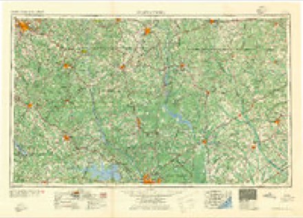
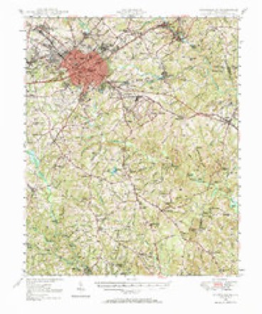
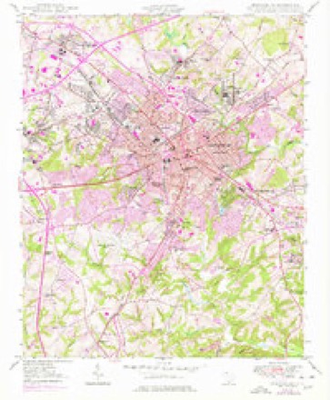
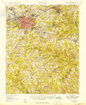
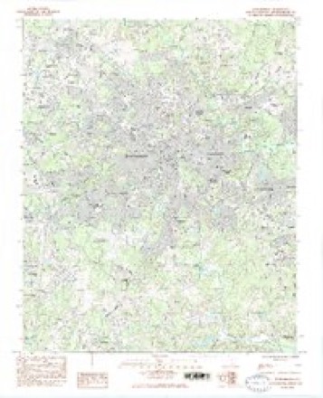
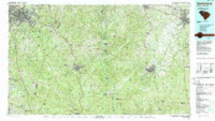
18 topographic sheets cover this place, the earliest surveyed in 1941 and the latest in 1986. It stands in the Spartanburg census division. It lies in ZIP code area 29301. The Survey maps it on the Spartanburg quadrangle. It stands 886 feet above sea level.
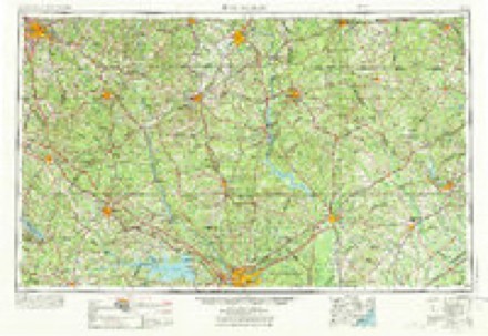
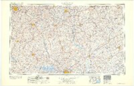
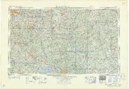
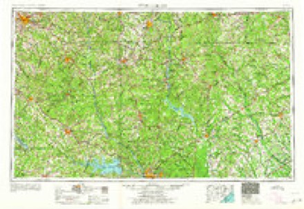
Topographic sheets covering this place
10 surveys from 18 printed sheetsMatched by testing this settlement's coordinate against the published boundary of every sheet in the United States Geological Survey's historical collection. Each opens the scanned sheet at the Survey.
- 1941 USGS Spartanburg quadrangle1:250000
- 1947 USGS Spartanburg quadrangle1:62500
- 1949 USGS Spartanburg quadrangle1:24000, 3 printings
- 1949 USGS Spartanburg quadrangle1:62500
- 1953 USGS Spartanburg quadrangle1:250000, 4 printings
- 1960 USGS Spartanburg quadrangle1:250000, 2 printings
- 1963 USGS Spartanburg quadrangle1:250000
- 1964 USGS Spartanburg quadrangle1:250000
- 1983 USGS Spartanburg quadrangle1:24000, 2 printings
- 1986 USGS Spartanburg quadrangle1:100000, 2 printings
Fires near this place
159 since 1992Regional context, not property-specific evidence. The federal wildfire occurrence database lists 159 fires within 5 miles of Una between 1992 and 2020, burning about 446 acres in total. 2 started naturally. 10 were recorded as arson. Distance is straight-line from the map coordinates, so a fire counted here may appear on a neighbouring settlement's page as well.
| Reported cause | Fires |
|---|---|
| Missing data/not specified/undetermined | 80 |
| Debris and open burning | 31 |
| Misuse of fire by a minor | 16 |
| Arson/incendiarism | 10 |
| Equipment and vehicle use | 8 |
| Recreation and ceremony | 3 |
| Railroad operations and maintenance | 3 |
| Fireworks | 2 |
| Smoking | 2 |
| Natural | 2 |
| Other causes | 1 |
| Power generation/transmission/distribution | 1 |
The most recent of them, most recent first, with the day each was reported and the service that recorded it.
| Date | Cause | Size | Reported by | Name on the report |
|---|---|---|---|---|
| 6 September 1997 | Debris and open burning | 3.0 acres | South Carolina Forestry Commission | not named |
| 28 September 1993 | Missing data/not specified/undetermined | 2.0 acres | South Carolina Forestry Commission | not named |
| 23 September 2007 | Arson/incendiarism | 1.0 acres | South Carolina Forestry Commission | not named |
| 16 September 1999 | Debris and open burning | 1.0 acres | South Carolina Forestry Commission | not named |
| 31 August 2011 | Debris and open burning | 2.0 acres | South Carolina Forestry Commission | not named |
| 3 August 2017 | Equipment and vehicle use | under an acre | South Carolina Forestry Commission | not named |
| 3 August 2011 | Fireworks | 3.0 acres | South Carolina Forestry Commission | not named |
| 21 August 2007 | Missing data/not specified/undetermined | under an acre | South Carolina Forestry Commission | not named |
Settlements close enough to share some of these fires:
Mines and quarries near this place
1 within 5 milesRegional context, not property-specific evidence. The federal mineral resources record lists 1 working within 5 miles of Una: 1 unknown. None of them still produces. What was taken out: Titanium, Iron. Distance is straight-line from the map coordinates, so a quarry counted here may appear on a neighbouring settlement's page as well.
| Where | Site | Commodity | Status | Recorded |
|---|---|---|---|---|
| North Spartanburg | Titanium, Iron | Unknown | Placer , Modern , Fluvial |
Storms near this place
3 since 2015Regional context, not property-specific evidence. The National Weather Service names Una in 3 storm reports between 2015 and 2024: 1 thunderstorm wind, 1 tornado, 1 flash flood. The reports record 1 injury. Each account below is quoted exactly as the forecast office filed it, from the NOAA Storm Events Database, and each date opens the federal record of that event.
| When | Event | Place named | Harm | What the report says |
|---|---|---|---|---|
| October 2017 | Tornado (EF2) | Una | 1 hurt, $1,000,000 | Nws survey found that a second, more intense tornado touched down on the northwest side of Spartanburg, along Business 85 near Spartanburg Community College. The tornado reached its peak intensity almost immediately upon touching down, as a warehouse building near the intersection of Spring St and Simuel Rd suffered extensive damage, with the collapse of an exterior wall, and much of the roof removed. Multiple trailers were damaged or destroyed and several cars flipped in a parking lot at an adjacent business at|Garrett Rd and Spring St. A person who sought shelter in a glass booth under a metal awning structure at this location was hospitalized with burst ear drums due to the extreme change in air pressure. A warehouse building also lost much of its roofing here. The tornado continued east/northeast, paralleling Business 85, snapping trees along New Cut Rd, and collapsing a wall at another warehouse style building on Buffington Rd. The tornado appeared to weaken considerably from this point, with damage primarily limited to downed trees and limbs until the path ended near the intersection of Business 85 and Highway 9. |
| August 2024 | Flash Flood | Una | $50,000 | Ham radio operators reported flash flooding developed across portions of Spartanburg County, particularly in the Boiling Springs area, after 2.5 to 4.5 inches of rain fell in just a couple of hours. The primary impacts were along a couple of tributaries of Lawsons Fork Creek on the north side of Spartanburg. Vehicles were submerged in flood waters from these streams at Yellow Brick Rd and Lone Oak Rd, at Monks Grove Church Rd and Asheville Highway, and at Shadow Dance Lane and Old John Dodd Rd. A home was also flooded on Shadow Dance Lane. Additionally, street flooding due to poor drainage was reported at Asheville Highway and White Ave, and in areas around Lake Cooley and Apalachee Lake. |
| July 2015 | Thunderstorm Wind | Una | $20,000 | Newspaper reported a billboard blown down on Asheville Highway, which significantly damaged about a half dozen vehicles at an auto dealership. Trees and power lines were also blown down in the area. |
Nearest settlements
The eight closest, with where each one stands in the county. Distances are straight-line, computed from the Geographic Names Information System coordinates.
| Map | Place | Distance | Sheets |
|---|---|---|---|
| Ridgewood Heights | 0.4 miles | 18 | |
| Saxon | 0.6 miles | 18 | |
| Hayne Station | 0.6 miles | 18 | |
| Glenwood (historical) | 0.7 miles | 18 | |
| Hilltop | 1.0 miles | 18 | |
| Johnson City | 1.0 miles | 18 | |
| Belvedere | 1.1 miles | 18 | |
| Arcadia | 1.3 miles | 18 |
Elsewhere
Matched on this settlement's Geographic Names Information System number rather than its name, so it cannot be a different place of the same name in another state.
| Wikipedia article on Una | An encyclopaedic summary. Its text is share-alike, so it is linked here rather than copied. |
| Wikidata item Q27988789 | The structured record the population and elevation above come from. Public domain (CC0). |
Provenance
This settlement is recorded in the Geographic Names Information System as feature 1231878. The sheet list is computed by point-in-boundary test against the United States Geological Survey's historical topographic inventory. Both are works of the United States government and carry no copyright under 17 U.S.C. 105.
Wildfire. Short, Karen C. 2022. Spatial wildfire occurrence data for the United States, 1992-2020 [FPA_FOD_20221014]. 6th Edition. Fort Collins, CO: Forest Service Research Data Archive. https://doi.org/10.2737/RDS-2013-0009.6 Collected with United States Government funding and usable without additional permissions or fees.
Mines and quarries. USGS Mineral Resources Data System (MRDS) https://mrdata.usgs.gov/mrds/ A work of the United States government, no copyright under 17 U.S.C. 105.
Storms. NOAA National Centers for Environmental Information, Storm Events Database https://www.ncei.noaa.gov/stormevents/ A work of the United States government, no copyright under 17 U.S.C. 105. Narratives are quoted verbatim from the National Weather Service report and are not edited or summarised.