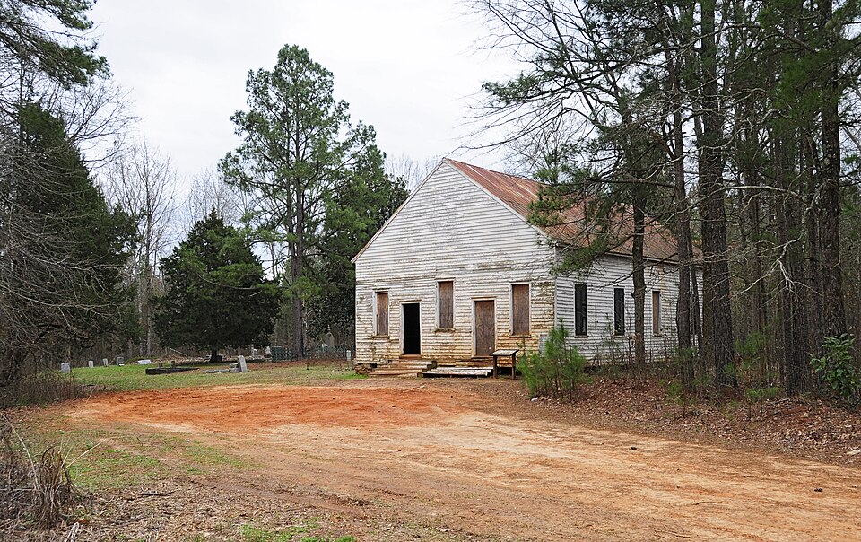
| May 1998 | Tornado (F3) | Edgefield | 1 killed, 9 hurt, $1,000,000 | An F3 tornado either destroyed or severely damaged around 60 homes and mobile homes and a church. One person was killed when her mobile home took a direct hit and was completely destroyed. Widespread trees were taken down. |
| May 1998 | Tornado (F3) | Edgefield | $300,000 | An F3 tornado touched down near SC highway 61 and moved east to SC highway 36 taking down numerous trees and causing major and minor damage to several homes. |
| July 2012 | Hail | Edgefield | $20,000 | Public reported golfball size hail on Lloyd Road. |
| June 2011 | Thunderstorm Wind | Edgefield | $18,000 | Sheriff reported trees and powerlines down in Edgefield...Johnston, Trenton, and other areas around the county. |
| November 2014 | Thunderstorm Wind | Edgefield | $14,000 | EM reported several trees down in the eastern portions of the county. One fell on a vehicle. |
| August 2011 | Thunderstorm Wind | Edgefield | $12,000 | Sheriff reported trees and powerlines down on Augusta Hwy. |
| June 1995 | Thunderstorm Wind | Edgefield | $10,000 | Numerous trees and power lines downed by wind. |
| January 2013 | Thunderstorm Wind | Edgefield | $8,000 | Sheriff reported trees down and power outages in Edgefield. |
| July 2012 | Thunderstorm Wind | Edgefield | $8,000 | Sheriff reported trees and powerlines down. |
| October 2011 | Thunderstorm Wind | Edgefield | $6,000 | Highway Patrol reported trees down near Pickens Street. |
| June 2010 | Thunderstorm Wind | Edgefield | $5,000 | Sheriff reported trees down on Hwy 23. |
| June 2010 | Thunderstorm Wind | Edgefield | $4,000 | Sheriff reported powerlines down in northeast Edgefield on Wigfall Street. |
| June 2010 | Thunderstorm Wind | Edgefield | $4,000 | Sheriff reported trees down on Walker Road. |
| June 2009 | Thunderstorm Wind | Edgefield | $4,000 | SKYWARN spotter reported trees down on Mt. Vintage Plantation road. |
| June 2011 | Thunderstorm Wind | Edgefield | $2,000 | Sheriff reported several trees down on Country Club road. |
| July 2009 | Thunderstorm Wind | Edgefield | $2,000 | Sheriff reported several trees down in the Meriwether subdivision. |
| August 2009 | Thunderstorm Wind | Edgefield | $2,000 | Sheriff reported several trees down on hwy 283. |
| May 2025 | Hail | Edgefield | - | Broadcast meteorologist sent multiple pictures of hail from a viewer with the bigger stones ranging from quarter to half dollar size hail. |
| May 2025 | Hail | Edgefield | - | Broadcast media passed along a picture of hail roughly penny size through slack. |
| May 2025 | Hail | Edgefield | - | Images of quarter sized hail that had piled up in the parking lot of the KJs market off of Columbia road. |
| May 2025 | Thunderstorm Wind | Edgefield | - | Broadcast media relayed a report with a picture of a large tree down near the Edgefield town square. |
| May 2025 | Thunderstorm Wind | Edgefield | - | Spotter observed one large shed blown away and one tin shed flipped over at 420 Mims St in Edgefield. |
| May 2024 | Thunderstorm Wind | Edgefield | - | SC Dept. of Public Safety reports trees down across the road on Sweetwater Rd. near the intersection of Horn Creek W. Time estimated from radar. |
| August 2024 | Thunderstorm Wind | Edgefield | - | Edgefield County dispatch reported trees down along Addison Street in Edgefield. |
| December 2024 | Thunderstorm Wind | Edgefield | - | Edgefield County Dispatch received a call about a tree down on Penn St in the town of Edgefield. Time estimated by radar. |
| September 2023 | Thunderstorm Wind | Edgefield | - | Edgefield County dispatch reported numerous trees and power lines were downed across the county. |
| July 2022 | Thunderstorm Wind | Edgefield | - | Sheriff dispatch reported trees down on Evans St in the town of Edgefield. |
| June 2020 | Thunderstorm Wind | Edgefield | - | Tree on a power line at the intersection of Penn St and Bauskett St in Edgefield. |
| February 2016 | Thunderstorm Wind | Edgefield | - | Edgefield County Dispatch reported several trees down in and around the Town of Edgefield. Also along Sweetwater Road, Old Chappell Ferry Road and Walker Road. |
| July 2016 | Thunderstorm Wind | Edgefield | - | Report of a tree down on Catalpa St in Edgefield. Time estimated based on radar. |
| December 2015 | Thunderstorm Wind | Edgefield | - | Sheriff Dispatch reported trees down on Sweetwater Road. |
| May 2008 | Hail | Edgefield | - | TV station reported golf ball size hail in Edgefield. |
| June 2008 | Hail | Edgefield | - | Quarter size hail reported by law enforcement. |
| August 2008 | Thunderstorm Wind | Edgefield | - | Sheriff Dispatch reported severel trees down along Highway 378 in northern portion of county. |
| March 2008 | Hail | Edgefield | - | SKYWARN spotter reported golf ball size hail in the Long Creek area. |
| May 2008 | Hail | Edgefield | - | Sheriff reported quarter size hail in Edgefield. |
| June 2008 | Thunderstorm Wind | Edgefield | - | Sheriff reported trees and powerlines down on Walker road and Martintown road. |
| July 2007 | Thunderstorm Wind | Edgefield | - | Highway Dept. reported trees down north of Edgefield on hwy 25 and secondary highways. |
| February 2007 | Tornado (EF1) | Edgefield | - | An EF1 intermittently touched down along a 15 mile track from SW of Edgefield to N or Edgefield. Trees were taken down along the path and 3 outbuildings were destroyed and 1 severely damaged at the intersection of hwys 25 and 283. |
| April 2007 | Thunderstorm Wind | Edgefield | - | Sheriff reported trees down on Clarks Hill road near the Merryweather area. |
| June 2007 | Thunderstorm Wind | Edgefield | - | DOT reported trees down on hwy 133. |
| June 2007 | Hail | Edgefield | - | COOP reported nickel size hail. |
| June 2007 | Hail | Edgefield | - | COOP observer reported nickel size hail. |
| April 2007 | Thunderstorm Wind | Edgefield | - | Sheriff reported trees down on hwys 283, 230, and Plum Branch road. |
| May 2006 | Hail | Edgefield | - | SKYWARN spotters reported golf all size hail. |
| May 2006 | Hail | Edgefield | - | TV 26 in Augusta reported nickel size hail. |
| July 2006 | Thunderstorm Wind | Edgefield | - | Emergency Manager reported trees down on Plum Branch and Vann roads. |
| May 2005 | Hail | Edgefield | - | Sheriff reported 3/4 inch hail north of Edgefield. |
| July 2005 | Thunderstorm Wind | Edgefield | - | Sheriff reported trees down just west of Cleora. |
| May 2005 | Thunderstorm Wind | Edgefield | - | Dept. of Highways reported numerous large tree branches down around town. |
| May 2005 | Hail | Edgefield | - | Post Office reported half dollar ball size hail on hwy 230. |
| May 2005 | Hail | Edgefield | - | Post Office reported golf ball size hail on hwy 29. |
| July 2005 | Hail | Edgefield | - | Public reported 3/4 inch hail and tree branches down on hwy 121 near the Edgefield/Saluda county line. |
| June 2004 | Thunderstorm Wind | Edgefield | - | Sheriff reported trees down on hwy 23 near the middle school. Small hail was also reported. |
| June 2004 | Thunderstorm Wind | Edgefield | - | SKYWARN spotter reported trees down on hwy 25 between Edgefield and Johnston. |
| May 2003 | Thunderstorm Wind | Edgefield | - | Sheriff reported trees down on hwy 378. |
| May 2003 | Thunderstorm Wind | Edgefield | - | SKYWARN spotter reported trees down on Fruithill road. |
| May 2003 | Hail | Edgefield | - | SKYWARN spotter reported 3/4 inch hail in Edgefield. |
| July 2003 | Thunderstorm Wind | Edgefield | - | Public reported trees down near a church. |
| July 2003 | Thunderstorm Wind | Edgefield | - | Sheriff reported some trees down on the north side of town. |
 Block