 Block
Orland, South Dakota
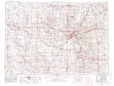
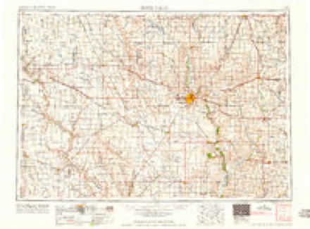
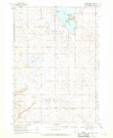
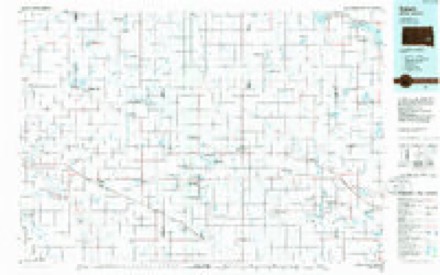
6 topographic sheets cover this place, the earliest surveyed in 1955 and the latest in 1985. It stands in Orland Township. It lies in ZIP code area 57042. The Survey maps it on the Lake Herman quadrangle.
Topographic sheets covering this place
4 surveys from 6 printed sheetsMatched by testing this settlement's coordinate against the published boundary of every sheet in the United States Geological Survey's historical collection. Each opens the scanned sheet at the Survey.
- 1955 USGS Sioux Falls quadrangle1:250000, 3 printings
- 1958 USGS Sioux Falls quadrangle1:250000
- 1968 USGS Lake Herman quadrangle1:24000
- 1985 USGS Salem quadrangle1:100000
Storms near this place
18 since 2000Regional context, not property-specific evidence. The National Weather Service names Orland in 18 storm reports between 2000 and 2024: 5 flood, 4 hail, 4 thunderstorm wind, 3 flash flood. The reports record 1 death. Each account below is quoted exactly as the forecast office filed it, from the NOAA Storm Events Database, and each date opens the federal record of that event.
| When | Event | Place named | Harm | What the report says |
|---|---|---|---|---|
| May 2012 | Flash Flood | Orland | 1 killed, $2,000,000 | Heavy rainfall of up to 6 inches caused flash flooding of numerous roads, parks, fields, other low areas, and buildings including homes. At least 90 homes were heavily damaged in Madison by the flooding, including at least two with basement walls washed out. A basement wall of a dentists business was also washed out and the basement flooded with 9 feet of water. Numerous personal possessions in flooded homes and businesses were destroyed. The flash flooding included Memorial Creek, and there was a fatality when an out of state visitor drowned when attempting to cross the flooded creek. While this fatality and most of the damage was in Madison, many rural roads and fields were flooded in the area, and east to near the town of Wentworth. |
| September 2019 | Flood | Orland | $1,420,000 | Heavy rain from September 10-12 (as much as 8.81 inches 2 miles north of Chester, 7.36 inches 4 miles west northwest of Rutland, and 7.01 inches 2 miles south of Winfred) led to widespread areal flooding. Flooding was most significant around Madison, where ponding waters led to the evacuation of 30 people by boat and payloader. As many as 200 residences were inundated by water in Madison. Highway 34 was closed both east and west of Madison, Highway 19 was closed south of Madison, and travel was not advised across most of the county with water over most township and county roads. Lake Herman State Park was closed due to high water and remained so for most of the month. No wake zones were established on Lake Madison, Lake Herman, and Brant Lake. Other flooding resulted in the loss of crops and damage to public infrastructure including numerous county and township roads, culverts, and some bridges. Property damage costs are rough estimates. Crop loss estimates provided by the United States Department of Agriculture. |
| June 2024 | Flood | Orland | $750,000 | Rainfall amounts across Lake County from June 20-22 ranged from 3 to 9 inches. Overland flooding ensued with the majority of road damage to areas south of South Dakota Highway 34 and west of South Dakota Highway 19. County wide, nine homes reported minor to major flood damage with the majority of the impacts being water or sewer backup into basements. Preliminary damage assessments estimate loss to public infrastructure across the county to be in excess of 750 thousand dollars. |
| March 2019 | Flood | Orland | $310,000 | Water was flowing across SD Highway 34/U.S. 81 west of 447th Avenue, just west of Junius. Other flooding resulted in damage to public infrastructure including county and township roads and culverts. |
| September 2010 | Flash Flood | Orland | $200,000 | Heavy rainfall of several inches caused widespread flash flooding of streets, fields, parks, basements, and other low areas in Madison, with flooding of roads and fields also reported outside of the town. Park Creek, which runs through Madison, was affected and contributed to the flooding, and the rock walls of the creek bed in town were damaged. Some of the flooded roads were also damaged. |
| June 2024 | Flash Flood | Orland | - | After 2 to 3 inches of rainfall in the hour leading up to the time, water flowed over the road at the intersection of 447th Avenue and 241st Street. For a more comprehensive description of flood damage, please see other entries for areal and river flooding for Lake County. |
| June 2024 | Thunderstorm Wind | Orland | - | Thunderstorm wind gusts just ahead of the storm knocked numerous branches down across the yard. Crop damage is an estimate from insured losses. Information provided by the United States Department of Agriculture. |
| May 2022 | Funnel Cloud | Orland | - | A funnel cloud was reported descending and ascending near 241st Street and 453rd Avenue, around 2 miles east of Orland. |
| June 2019 | Flood | Orland | - | During crop planting season, prolonged flooding led to the loss of or inability to plant crops across the area. Crop loss estimates provided by the United States Department of Agriculture. |
| May 2012 | Thunderstorm Wind | Orland | - | Thunderstorm winds caused considerable tree damage, including some trees blown down. |
| September 2010 | Flood | Orland | - | Flash flooding which began during the evening continued through the night and next day as a flood. Numerous roads remained flooded, with water only slowly subsiding. Water was also slow to drain from flooded parks and fields. |
| July 2010 | Thunderstorm Wind | Orland | - | Thunderstorm winds blew down several branches, some up to 5 inches in diameter. |
| September 2005 | Thunderstorm Wind | Orland | - | Thunderstorm winds caused tree damage, including several branches blown down. |
| October 2022 | Hail | Orland | - | no account filed |
| June 2016 | Hail | Orland | - | no account filed |
| August 2016 | Hail | Orland | - | no account filed |
| August 2011 | Funnel Cloud | Orland | - | no account filed |
| August 2000 | Hail | Orland | - | no account filed |
Nearest settlements
The eight closest, with where each one stands in the county. Distances are straight-line, computed from the Geographic Names Information System coordinates.
| Map | Place | Distance | Sheets |
|---|---|---|---|
| Orland (historical) | 1.9 miles | 6 | |
| Rustic Acres Colony | 5.4 miles | 6 | |
| Graceville Colony | 5.7 miles | 6 | |
| Franklin | 6.4 miles | 6 | |
| Prairie Village | 8.0 miles | 9 | |
| Junius | 8.4 miles | 9 | |
| Madison | 8.8 miles | 9 | |
| Chautauqua | 9.2 miles | 6 |
Provenance
This settlement is recorded in the Geographic Names Information System as feature 1261053. The sheet list is computed by point-in-boundary test against the United States Geological Survey's historical topographic inventory. Both are works of the United States government and carry no copyright under 17 U.S.C. 105.
Storms. NOAA National Centers for Environmental Information, Storm Events Database https://www.ncei.noaa.gov/stormevents/ A work of the United States government, no copyright under 17 U.S.C. 105. Narratives are quoted verbatim from the National Weather Service report and are not edited or summarised.