 Block
Running Water, South Dakota
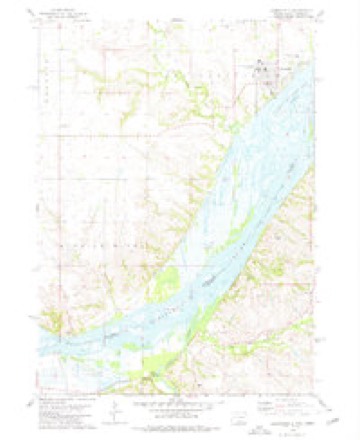
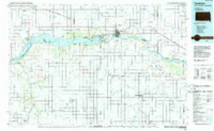
10 topographic sheets cover this place, the earliest surveyed in 1955 and the latest in 1985. It stands in the Southwest Bon Homme unorganized territory. It lies in ZIP code area 57062. The Survey maps it on the Springfield quadrangle. 47 people lived here at the 2020 count. It stands 1,250 feet above sea level.
Population over time
2 figuresRunning Water grew from 36 to 47 between 2010 and 2020. These are the recorded population figures Wikidata holds for this place, reached through the Geographic Names Information System number this page is keyed on rather than by name, so they belong to this place and not to another of the same name. Most are census counts, but not all are: an early figure may be a founding or settlement estimate, and an estimate published within five years of a census is left out. The change column is computed, and is left blank where more than 20 years separate a figure from the one before it, because a gap that long is not a change between two counts.
| Year | People | Change |
|---|---|---|
| 2010 | 36 | |
| 2020 | 47 | +11 (+31%) |
Topographic sheets covering this place
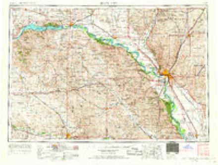
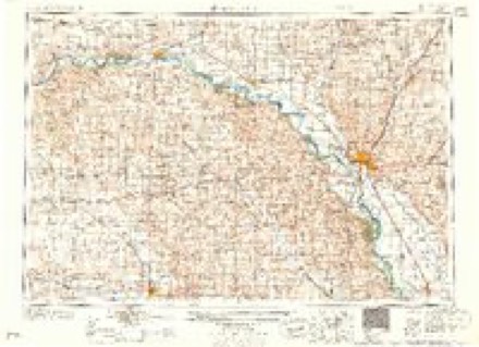
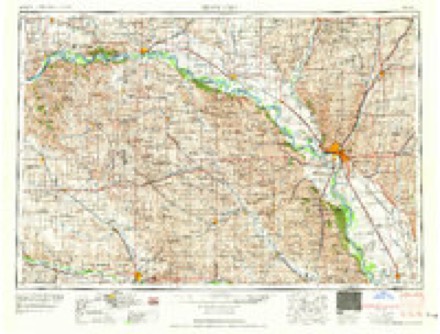
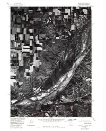
6 surveys from 10 printed sheetsMatched by testing this settlement's coordinate against the published boundary of every sheet in the United States Geological Survey's historical collection. Each opens the scanned sheet at the Survey.
- 1955 USGS Sioux City quadrangle1:250000, 4 printings
- 1958 USGS Sioux City quadrangle1:250000
- 1959 USGS Sioux City quadrangle1:250000
- 1977 USGS Springfield quadrangle1:24000
- 1978 USGS Springfield quadrangle1:24000
- 1985 USGS Yankton quadrangle1:100000, 2 printings
Fires near this place
17 since 2004Regional context, not property-specific evidence. The federal wildfire occurrence database lists 17 fires within 5 miles of Running Water between 2004 and 2020, burning about 1,433 acres in total. None started naturally. None was recorded as arson. Distance is straight-line from the map coordinates, so a fire counted here may appear on a neighbouring settlement's page as well.
| Reported cause | Fires |
|---|---|
| Missing data/not specified/undetermined | 8 |
| Debris and open burning | 6 |
| Equipment and vehicle use | 2 |
| Misuse of fire by a minor | 1 |
The most recent of them, most recent first, with the day each was reported and the service that recorded it.
| Date | Cause | Size | Reported by | Name on the report |
|---|---|---|---|---|
| 7 July 2012 | Missing data/not specified/undetermined | under an acre | South Dakota Wildland Fire Suppression | STANDING BEAR OVERLOOK |
| 4 July 2016 | Missing data/not specified/undetermined | under an acre | South Dakota Wildland Fire Suppression | STANDING BEAR BRIDGE FIRE |
| 12 July 2012 | Missing data/not specified/undetermined | under an acre | South Dakota Wildland Fire Suppression | ARENA |
| 28 May 2007 | Equipment and vehicle use | 1.0 acres | Nebraska Forest Service | not named |
| 8 April 2014 | Misuse of fire by a minor | 350 acres | Winnebago Agency | BASIL |
| 5 April 2011 | Debris and open burning | 2.0 acres | Winnebago Agency | CAMPBELL |
| 5 April 2011 | Missing data/not specified/undetermined | 20 acres | South Dakota Wildland Fire Suppression | JAY ROMKEMA |
| 20 April 2019 | Debris and open burning | 1.0 acres | Nebraska Forest Service | not named |
Settlements close enough to share some of these fires:
Storms near this place
26 since 1998Regional context, not property-specific evidence. The National Weather Service names Running Water in 26 storm reports between 1998 and 2024: 21 flood, 2 tornado, 2 hail, 1 lightning. No death or injury is recorded in these reports. Each account below is quoted exactly as the forecast office filed it, from the NOAA Storm Events Database, and each date opens the federal record of that event.
| When | Event | Place named | Harm | What the report says |
|---|---|---|---|---|
| March 2009 | Tornado (EF1) | Running Water | $30,000 | A tornado destroyed a garage and machine shed. A vehicle in the garage was damaged. Debris and equipment from the machine shed was scattered about the farm. |
| June 1998 | Lightning | Running Water | $20,000 | no account filed |
| August 2019 | Flood | Running Water | $10,000 | A continuation of flooding from July, the Missouri River at Springfield (gage site SPGS2) crested twice during the month at moderate flood stage. The first was 2.08 feet above flood stage on August 10, with the second at 2.10 feet above flood stage on August 31. High water closed numerous recreational boat ramps, and some camping areas at Springfield Recreational Area. The river remained at moderate flood stage at the end of the month. |
| September 2019 | Flood | Running Water | $10,000 | A continuation of flooding from August, the Missouri River at Springfield (gage site SPGS2) crested at 2.41 feet above flood stage on September 21. High water closed numerous recreational boat ramps, and some camping areas at Springfield Recreational Area. The river remained at moderate flood stage at the end of the month. |
| October 2019 | Flood | Running Water | $5,000 | A continuation of flooding from September, the Missouri River at Springfield (gage site SPGS2) started the month at a peak of 2.32 feet above flood stage on October 1. High water closed numerous recreational boat ramps, and some camping areas at Springfield Recreational Area. The river remained at minor flood stage at the end of the month. Property damage costs are rough estimates. |
| January 2024 | Flood | Running Water | - | The river rose above flood stage on the morning of the 11th before cresting 0.89 ft above flood stage (10.89 ft) on the morning of the 12th. The river then briefly dipped below flood stage before rising again and finally falling below flood stage for good on the 19th. Impacts during the cold season are limited to seasonal cabins and recreation roads. |
| June 2024 | Flood | Running Water | - | The Missouri River at Springfield rose above flood stage the morning of June 22nd, cresting around 0.59 feet above flood stage (10.59 feet) on June 23rd. The river then fell below flood stage on the evening of June 25th. For a more comprehensive description of flood damage, please see other entries for Bon Homme County. |
| October 2023 | Flood | Running Water | - | The Missouri River at Springfield, SD rose into Minor Flood Stage on October 12th cresting 0.24 ft above flood stage (10.24 ft) on October 14th. The river then fell back below flood stage by the morning of October 16th. |
| May 2022 | Tornado (EFU) | Running Water | - | A tornado spun up in the Missouri River bottoms 4 miles east-northeast of Niobrara. The tornado was quite visible as it moved northeast through the river bottoms, and dissipated less than one-mile south of Springfield. The tornado caused no damage from which the NWS could assign an EF-scale rating. The average path width was 40 yards. |
| January 2020 | Flood | Running Water | - | The Missouri River at Springfield (gage site SPGS2) rose rapidly above flood stage on January 11, with a crest of 2.48 feet above flood stage on January 14, the third highest on record. High water impacted numerous recreational boat ramps, and some camping areas at Springfield Recreational Area. The river remained at minor flood stage at the end of the month. |
| February 2020 | Flood | Running Water | - | A continuation of flooding from January, the Missouri River at Springfield (gage site SPGS2) crested at 0.38 feet above flood stage on February 4. Sections of Bottom Road near Springfield remained under water. |
| February 2020 | Flood | Running Water | - | The Missouri River at Springfield (gage site SPGS2) rose rapidly above flood stage on February 13, with a crest of 3.65 feet above flood stage on February 14, the third highest on record. High water impacted numerous recreational boat ramps, and some camping areas at Springfield Recreational Area. Marina Road near Springfield was flooded. |
| June 2019 | Flood | Running Water | - | A continuation of flooding from May, the Missouri River at Springfield (gage site SPGS2) crested 2.01 feet above flood stage on June 21. High water closed numerous recreational boat ramps. The river remained at minor flood stage at the end of the month. |
| November 2019 | Flood | Running Water | - | A continuation of flooding from October, the Missouri River at Springfield (gage site SPGS2) remained in minor flood through the month, with a crest of 1.94 feet above flood stage on November 7. High water maintained closure of numerous recreational boat ramps, and some camping areas at Springfield Recreational Area. The river remained at minor flood stage at the end of the month. |
| March 2019 | Flood | Running Water | - | While there was some contribution from rainfall (2.60 inches 8 miles west northwest of Springfield and 2.71 inches at Tyndall) and snow melt, the crest severity along the Missouri River had at least a partial contribution from an uncontrolled release with the failure of Spencer Dam along the Niobrara River in Nebraska during the evening of March 13. The highest crest on record resulted, as the Missouri River at Springfield (gage site SPGS2) crested 7.67 feet above flood stage on March 14, inundating the golf course in Springfield as well as many river bottom roads and recreational areas. |
| July 2019 | Flood | Running Water | - | A continuation of flooding from June, the Missouri River at Springfield (gage site SPGS2) crested 2.25 feet above flood stage on July 7. High water closed numerous recreational boat ramps. The river remained at minor flood stage at the end of the month. |
| May 2019 | Flood | Running Water | - | This is a continuation of flooding from April. Persistent higher than average releases from Fort Randall dam kept downstream water levels high through the month. By late month, additional rains helped to push the river into moderate flood levels, bringing water to some homes near Springfield Recreation Area. Missouri River levels crested 2.17 feet above flood stage at Springfield (gage site SPGS2) on May 31. Minor flooding persisted into June. |
| December 2019 | Flood | Running Water | - | A continuation of flooding from November, the Missouri River at Springfield (gage site SPGS2) began the month in minor flood at 1.14 feet above flood stage, then fell below flood stage on December 4. Bottom Road near Springfield was flooded. |
| April 2019 | Flood | Running Water | - | Higher dam releases and local runoff from occasional precipitation in late March and April maintained minor flooding of recreational lands, closing Bottom Road near Springfield. The Missouri River at Springfield (gage site SPGS2) crested at 0.92 feet above flood stage on April 17. Minor flooding continued at the end of the month. |
| July 2018 | Flood | Running Water | - | Bottom Road near Springfield was inundated and minor flooding of mainly agricultural areas occurred as the Missouri River at Springfield (gage site SPGS2) crested 1.2 feet above flood stage on July 14. The river remained in minor flood through the end of the month. |
| September 2018 | Flood | Running Water | - | The boat landing near Santee was flooded, and the access road to a few recreational homes east of the landing was inundated throughout the month as the Missouri River at Springfield (gage site SPGS2) crested 1.9 feet above flood stage on September 20. The river remained in minor flood through the end of the month. |
| August 2018 | Flood | Running Water | - | Bottom Road near Springfield was inundated and minor flooding of mainly agricultural areas occurred throughout the month as the Missouri River at Springfield (gage site SPGS2) crested 1.5 feet above flood stage on August 17. The river remained in minor flood through the end of the month. |
| October 2018 | Flood | Running Water | - | The boat landing near Santee was flooded, and the access road to a few recreational homes east of the landing was inundated throughout the month as the Missouri River at Springfield (gage site SPGS2) crested 2.0 feet above flood stage on October 14. The river remained in minor flood through the end of the month. |
| November 2018 | Flood | Running Water | - | Minor flooding continued due to above normal releases throughout November along the Missouri River near Springfield (gage site SPGS2), with the boat landing near Santee as well as access to several homes inundated by floodwater. The river crested at 1.4 feet above flood stage on November 10. The river remained above flood stage at the end of the month. |
| August 2017 | Hail | Running Water | - | A few nickels and quarters, but mainly dime-sized hail.. |
| June 2023 | Hail | Running Water | - | no account filed |
Nearest settlements
The eight closest, with where each one stands in the county. Distances are straight-line, computed from the Geographic Names Information System coordinates.
| Map | Place | Distance | Sheets |
|---|---|---|---|
| Perkins | 6.7 miles | 11 | |
| Springfield | 7.4 miles | 10 | |
| Kingsburg | 10.4 miles | 9 | |
| Bon Homme Colony | 16.1 miles | 9 | |
| Tyndall | 16.7 miles | 9 | |
| Avon | 16.7 miles | 9 | |
| Tabor | 21.2 miles | 9 | |
| Vodnany (historical) | 25.5 miles | 11 |
Elsewhere
Matched on this settlement's Geographic Names Information System number rather than its name, so it cannot be a different place of the same name in another state.
| Wikipedia article on Running Water | An encyclopaedic summary. Its text is share-alike, so it is linked here rather than copied. |
| Wikidata item Q6113672 | The structured record the population and elevation above come from. Public domain (CC0). |
Provenance
This settlement is recorded in the Geographic Names Information System as feature 1257520. The sheet list is computed by point-in-boundary test against the United States Geological Survey's historical topographic inventory. Both are works of the United States government and carry no copyright under 17 U.S.C. 105.
Wildfire. Short, Karen C. 2022. Spatial wildfire occurrence data for the United States, 1992-2020 [FPA_FOD_20221014]. 6th Edition. Fort Collins, CO: Forest Service Research Data Archive. https://doi.org/10.2737/RDS-2013-0009.6 Collected with United States Government funding and usable without additional permissions or fees.
Storms. NOAA National Centers for Environmental Information, Storm Events Database https://www.ncei.noaa.gov/stormevents/ A work of the United States government, no copyright under 17 U.S.C. 105. Narratives are quoted verbatim from the National Weather Service report and are not edited or summarised.