 Block
Warner, South Dakota
10 topographic sheets cover this place, the earliest surveyed in 1895 and the latest in 1985. It stands in Warner Township. It lies in ZIP code area 57479. The Survey maps it on the Warner quadrangle. 485 people lived here at the 2020 count. It stands 1,299 feet above sea level.
Population over time
2 figuresWarner grew from 457 to 485 between 2010 and 2020. These are the recorded population figures Wikidata holds for this place, reached through the Geographic Names Information System number this page is keyed on rather than by name, so they belong to this place and not to another of the same name. Most are census counts, but not all are: an early figure may be a founding or settlement estimate, and an estimate published within five years of a census is left out. The change column is computed, and is left blank where more than 20 years separate a figure from the one before it, because a gap that long is not a change between two counts.
| Year | People | Change |
|---|---|---|
| 2010 | 457 | |
| 2020 | 485 | +28 (+6%) |
Topographic sheets covering this place
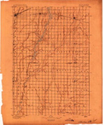
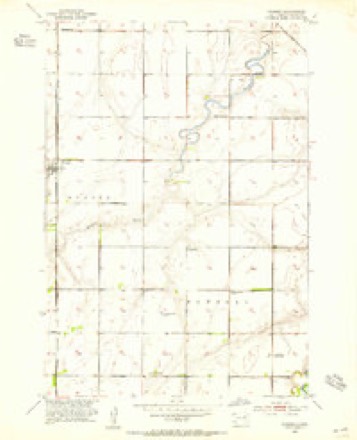
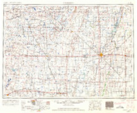
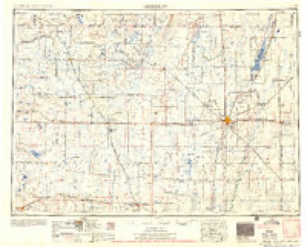
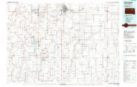
5 surveys from 10 printed sheetsMatched by testing this settlement's coordinate against the published boundary of every sheet in the United States Geological Survey's historical collection. Each opens the scanned sheet at the Survey.
- 1895 USGS Aberdeen quadrangle1:125000, 4 printings
- 1953 USGS Warner quadrangle1:24000
- 1954 USGS Aberdeen quadrangle1:250000, 2 printings
- 1956 USGS Aberdeen quadrangle1:250000
- 1985 USGS Aberdeen quadrangle1:100000, 2 printings
Fires near this place
13 since 2003Regional context, not property-specific evidence. The federal wildfire occurrence database lists 13 fires within 5 miles of Warner between 2003 and 2017, burning about 2,354 acres in total. None started naturally. 2 were recorded as arson. Distance is straight-line from the map coordinates, so a fire counted here may appear on a neighbouring settlement's page as well.
| Reported cause | Fires |
|---|---|
| Missing data/not specified/undetermined | 6 |
| Debris and open burning | 3 |
| Arson/incendiarism | 2 |
| Equipment and vehicle use | 2 |
The most recent of them, most recent first, with the day each was reported and the service that recorded it.
| Date | Cause | Size | Reported by | Name on the report |
|---|---|---|---|---|
| 19 September 2012 | Missing data/not specified/undetermined | 1.0 acres | South Dakota Wildland Fire Suppression | SEC 19 BEANFIRE |
| 19 September 2012 | Missing data/not specified/undetermined | 1.0 acres | South Dakota Wildland Fire Suppression | SEC 21 BEANFIELD |
| 4 July 2017 | Missing data/not specified/undetermined | 5.0 acres | South Dakota Wildland Fire Suppression | 281 |
| 30 July 2006 | Missing data/not specified/undetermined | under an acre | South Dakota Wildland Fire Suppression | not named |
| 21 July 2007 | Debris and open burning | 2.0 acres | South Dakota Wildland Fire Suppression | not named |
| 13 July 2017 | Arson/incendiarism | under an acre | South Dakota Wildland Fire Suppression | SECTION 10 AGAIN |
| 31 May 2017 | Missing data/not specified/undetermined | under an acre | South Dakota Wildland Fire Suppression | SECTION 10 |
| 13 April 2003 | Arson/incendiarism | 170 acres | Sand Lake National Wildlife Refuge | RYMAN WPA |
Settlements close enough to share some of these fires:
Mines and quarries near this place
1 within 5 milesRegional context, not property-specific evidence. The federal mineral resources record lists 1 working within 5 miles of Warner: 1 past producer. None of them still produces. What was taken out: Sand and Gravel, Construction. Distance is straight-line from the map coordinates, so a quarry counted here may appear on a neighbouring settlement's page as well.
| Where | Site | Commodity | Status | Recorded |
|---|---|---|---|---|
| Schwab Pit | Sand and Gravel, Construction | Past Producer |
Storms near this place
32 since 1997Regional context, not property-specific evidence. The National Weather Service names Warner in 32 storm reports between 1997 and 2023: 17 hail, 12 thunderstorm wind, 1 wildfire, 1 flood. No death or injury is recorded in these reports. Each account below is quoted exactly as the forecast office filed it, from the NOAA Storm Events Database, and each date opens the federal record of that event.
| When | Event | Place named | Harm | What the report says |
|---|---|---|---|---|
| May 2007 | Flash Flood | Warner | $5,000,000 | Very heavy rains of 5 to nearly 10 inches fell within a 6 to 10 hour period across most of Brown county causing widespread flash flooding. Most of the cities affected included Aberdeen, Warner, Columbia, Hecla, Groton, Barnard, Bath, and Stratford. Several hundred homes, some businesses, and countless roads were affected by the flooding. Aberdeen received the most extensive damage, especially the north side of Aberdeen. Seventy-five percent of the homes in Aberdeen received some water in their basements. Basement water levels ranged from a few inches to very deep water all the way up to the first floor of homes. Several homes had basement walls that collapsed. The overwhelming load on the drainage system caused sewage to back up into many homes. The National Guard brought large generators and pumps to Aberdeen to alleviate pressure on the storm system. A school in north Aberdeen was closed for several days because in was surrounded by water. Also, many vehicles stalled on the roads and power outages occurred, mainly in northern Aberdeen, as transformers went under water. Many cars were also damaged by the flooding. Over thirty families in Aberdeen were displaced from their homes with many living in emergency shelters.||Over one-hundred homes in Aberdeen were condemned with nearly fifty considered as unlivable. Thousands of acres of crops were flooded and damaged with many seeds and large quantities of fertilizer washed away. ||An emergency operations center was operated in Aberdeen for several days to coordinate all emergency activities. Hundreds of volunteers helped with the cleanup. Over 2500 tons of flooding debris was taken to the landfill in Aberdeen. The Governor was in Aberdeen and declared a state of emergency for Brown county. ||Groton, Stratford, Bath, Claremont, and Columbia also had flooded homes and basements. Thirty percent of Columbia's homes had some water in them with two collapsed basement walls. Eighty percent of Groton's homes had water in their basement with half having sewer backups. Sixty homes in Groton had major damage. Many sewer backups also occurred in Claremont.||Senator John Thune and representative Stephanie Herseth came to Brown County to survey the damage. Brown County was declared a disaster area by President Bush with disaster recovery and community assistance centers opened. Eight damage assessment teams from local, state, and FEMA came to Brown and other counties.||Rainfall amounts included 4.99 inches at Westport, 7.49 inches at Stratford, 7.97 inches at Aberdeen, 8.07 inches at Sand Lake Wildlife Refuge, 8.73 inches at Columbia, and 8.74 inches at Groton. Adding in the previous days rain, Aberdeen received 9.00 inches, Columbia received 10.19 inches, with 10.74 inches at Groton. The 8.74 inches of rainfall at Groton set a new 24 hour state rainfall record. |
| June 2018 | Thunderstorm Wind | Warner | - | Estimated eighty mph winds downed several large tree branches and trees along with downing multiple power poles. |
| June 2016 | Thunderstorm Wind | Warner | - | Sixty mph winds were estimated. |
| June 2008 | Thunderstorm Wind | Warner | - | Sixty mph winds downed several branches. |
| June 2008 | Thunderstorm Wind | Warner | - | Sixty mph winds downed power lines from Warner and west to a sub-station. There was also tree damage in the town of Warner. |
| July 2008 | Thunderstorm Wind | Warner | - | Two miles north of Warner, one-hundred mph winds completely destroyed an attached garage and also took a small part of the roof off of the home. |
| May 2007 | Flood | Warner | - | Widespread flooding continued across much of Brown county through May 8th. Most of the cities affected included Aberdeen, Warner, Columbia, Hecla, Groton, Barnard, Bath, and Stratford. Several hundred homes, some businesses and countless roads were affected by the flooding. Aberdeen received the most extensive damage, especially the north side of Aberdeen. Seventy-five percent of the homes in Aberdeen received some water in their basements. Basement water levels ranged from a few inches to up to the first floor of homes. Several homes had basement walls that collapsed. The overwhelming load on the drainage system caused sewage to back up into many homes. The National Guard brought large generators and pumps to Aberdeen to alleviate pressure on the storm system. A school in north Aberdeen was closed for several days because in was surrounded by water. Also, many vehicles stalled on the roads and power outages occurred, mainly in northern Aberdeen, as transformers went under water. Many cars were also damaged by the flooding. Over thirty families in Aberdeen were displaced from their homes with many living in emergency shelters.||Over one-hundred homes in Aberdeen were condemned with nearly fifty considered as unlivable. Thousands of acres of crops were flooded and damaged with many seeds and large quantities of fertilizer washed away. ||An emergency operations center was operated in Aberdeen for several days to coordinate all emergency activities. Hundreds of volunteers helped with the cleanup. Over 2500 tons of flooding debris was taken to the landfill in Aberdeen. The Governor was in Aberdeen and declared a state of emergency for Brown county. ||Groton, Stratford, Bath, Claremont, and Columbia also had flooded homes and basements. Thirty percent of Columbia's homes had some water in them with two collapsed basement walls. Eighty percent of Groton's homes had water in their basement with half having sewer backups. Sixty homes in Groton had major damage. Many sewer backups also occurred in Claremont.||Senator John Thune and representative Stephanie Herseth came to Brown County to survey the damage. Brown County was declared a disaster area by President Bush with disaster recovery and community assistance centers opened. Eight damage assessment teams from local, state, and FEMA came to Brown and other counties.| |
| October 2000 | Wildfire | Warner | - | A combine harvesting soybeans started a cropland fire southeast of Warner. Due to the extremely dry and windy conditions, the fire spread northwest towards Warner. Residents on the south side of Warner had to be evacuated as the fire came within 300 feet of the town before it was stopped. Almost 100 firefighters battled the blaze throughout the afternoon. The fire damaged a few pieces of farm equipment and also threatened a few buildings. |
| June 1999 | Thunderstorm Wind | Warner | - | Winds gusting to 80 mph slid a pickup over. |
| August 2023 | Hail | Warner | - | no account filed |
| August 2022 | Hail | Warner | - | no account filed |
| August 2022 | Hail | Warner | - | no account filed |
| August 2021 | Hail | Warner | - | no account filed |
| August 2021 | Hail | Warner | - | no account filed |
| June 2020 | Thunderstorm Wind | Warner | - | no account filed |
| June 2019 | Thunderstorm Wind | Warner | - | no account filed |
| May 2017 | Thunderstorm Wind | Warner | - | no account filed |
| July 2017 | Hail | Warner | - | no account filed |
| July 2015 | Hail | Warner | - | no account filed |
| May 2010 | Hail | Warner | - | no account filed |
| September 2008 | Hail | Warner | - | no account filed |
| June 2008 | Hail | Warner | - | no account filed |
| August 2007 | Thunderstorm Wind | Warner | - | no account filed |
| June 2006 | Hail | Warner | - | no account filed |
| May 2005 | Hail | Warner | - | no account filed |
| May 2005 | Hail | Warner | - | no account filed |
| June 2005 | Thunderstorm Wind | Warner | - | no account filed |
| June 2004 | Hail | Warner | - | no account filed |
| June 1999 | Hail | Warner | - | no account filed |
| June 1999 | Thunderstorm Wind | Warner | - | no account filed |
| July 1997 | Hail | Warner | - | no account filed |
| August 1997 | Hail | Warner | - | no account filed |
Nearest settlements
The eight closest, with where each one stands in the county. Distances are straight-line, computed from the Geographic Names Information System coordinates.
| Map | Place | Distance | Sheets |
|---|---|---|---|
| Rudolph | 2.7 miles | 9 | |
| Nahon | 6.3 miles | 11 | |
| Melrose Addition | 9.0 miles | 11 | |
| Aberdeen | 9.6 miles | 11 | |
| Jobee Acres | 9.9 miles | 11 | |
| Stratford | 10.1 miles | 10 | |
| Harlin Addition | 10.9 miles | 10 | |
| Deevaan Villa Development | 12.5 miles | 10 |
Elsewhere
Matched on this settlement's Geographic Names Information System number rather than its name, so it cannot be a different place of the same name in another state.
| Wikipedia article on Warner | An encyclopaedic summary. Its text is share-alike, so it is linked here rather than copied. |
| Wikidata item Q2355994 | The structured record the population and elevation above come from. Public domain (CC0). |
Provenance
This settlement is recorded in the Geographic Names Information System as feature 1258822. The sheet list is computed by point-in-boundary test against the United States Geological Survey's historical topographic inventory. Both are works of the United States government and carry no copyright under 17 U.S.C. 105.
Wildfire. Short, Karen C. 2022. Spatial wildfire occurrence data for the United States, 1992-2020 [FPA_FOD_20221014]. 6th Edition. Fort Collins, CO: Forest Service Research Data Archive. https://doi.org/10.2737/RDS-2013-0009.6 Collected with United States Government funding and usable without additional permissions or fees.
Mines and quarries. USGS Mineral Resources Data System (MRDS) https://mrdata.usgs.gov/mrds/ A work of the United States government, no copyright under 17 U.S.C. 105.
Storms. NOAA National Centers for Environmental Information, Storm Events Database https://www.ncei.noaa.gov/stormevents/ A work of the United States government, no copyright under 17 U.S.C. 105. Narratives are quoted verbatim from the National Weather Service report and are not edited or summarised.