 Block
Zell, South Dakota
8 topographic sheets cover this place, the earliest surveyed in 1899 and the latest in 1985. It stands in Zell Township. It lies in ZIP code area 57469. The Survey maps it on the Zell quadrangle.
On record in Zell
Buildings and businesses the archive holds for this place. Each opens its own page, with the source record it came from.
On the National Register 1 record
Topographic sheets covering this place
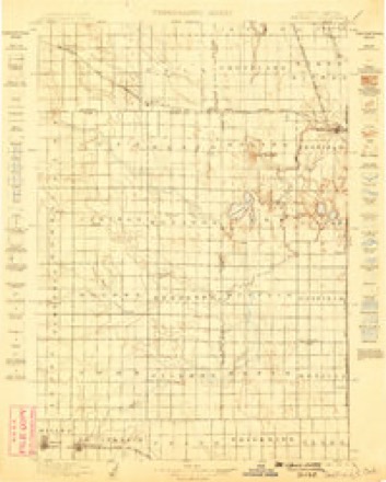
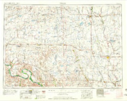
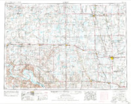
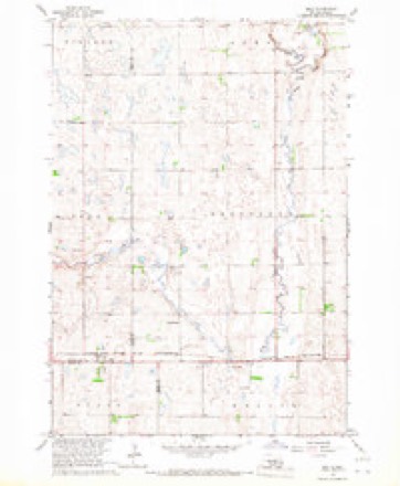
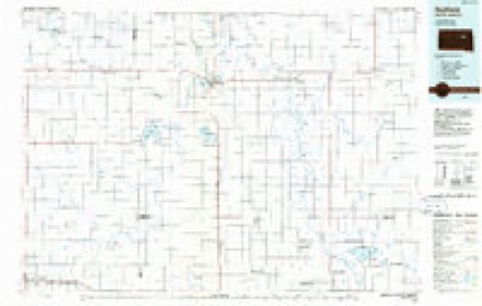
5 surveys from 8 printed sheetsMatched by testing this settlement's coordinate against the published boundary of every sheet in the United States Geological Survey's historical collection. Each opens the scanned sheet at the Survey.
- 1899 USGS Redfield quadrangle1:125000, 2 printings
- 1953 USGS Huron quadrangle1:250000, 3 printings
- 1954 USGS Huron quadrangle1:250000
- 1966 USGS Zell quadrangle1:24000
- 1985 USGS Redfield quadrangle1:100000
In the county-history sources
351 words on this townshipHistory of Faulk County, South Dakota, Together with Biographical Sketches of Pioneers and Prominent Citizens, published 1909 names this settlement in its chapter on Zell Township. These are the passages that mention it, exactly as the scans read.
As the west bound train over the Chicago & Northwestern railway leaves Redfield in Spink county, South Dakota, the first station to be called is Zell, in Faulk county. It is a town of about three hundred inhabitants. The first settlers were from Germany and Austria, in religious faith. Catholics. While forming an enterprising, industrious community a Catholic church and school have been and now are prominent features in the makeup of the town. Among the early settlers were Leo Heppler, Wenzel Heppler, A. Schade, M. Heppler, Eustace Weis, Jos. Abris, Frank Spannbauer, Leonard Jungferdorf and P. J. Berger. As early as the beginning of 1883, Rev. Bishop Marty began to look after the spiritual interests of this people. Rev. J. L-ameseh was the first resident priest, died July 5, 1895 and was laid to rest in the local cemetery. On the 15th of April, 1883, more than a year before the arrival of the resident priest, the people had decided to have a sisters' convent which was for the time being, to serve as a church and school.
Passage source: History of Faulk County, South Dakota, Together with Biographical Sketches of Pioneers and Prominent Citizens, published 1909.
The summer of 1904 was a time of deep interest to the good people of Zell, as the beautiful new church took on form, the interest continued until the completion and dedication of the church, which is not only an honor to the town, the people who so readily furnished the means and successfully carried it forward, but the entire county. In size 40x100, with a tower 75 feet high, in artistic design and finish, it is the equal if not the superior of any church edifice in the county. An illustration of the Zell church and St. Mary's school may be found in this history.
Passage source: History of Faulk County, South Dakota, Together with Biographical Sketches of Pioneers and Prominent Citizens, published 1909.
Machine-read from a century-old scan, so expect the errors a machine makes: misspelled names, dropped words, stray characters.
Fires near this place
2 since 2002Regional context, not property-specific evidence. The federal wildfire occurrence database lists 2 fires within 5 miles of Zell between 2002 and 2003, burning about 8 acres in total. 1 started naturally. None was recorded as arson. Distance is straight-line from the map coordinates, so a fire counted here may appear on a neighbouring settlement's page as well.
| Reported cause | Fires |
|---|---|
| Missing data/not specified/undetermined | 1 |
| Natural | 1 |
The most recent of them, most recent first, with the day each was reported and the service that recorded it.
| Date | Cause | Size | Reported by | Name on the report |
|---|---|---|---|---|
| 5 September 2002 | Natural | under an acre | Huron Wetland Management District | ZELL |
| 17 March 2003 | Missing data/not specified/undetermined | 8.0 acres | Huron Wetland Management District | WEITING |
Settlements close enough to share some of these fires:
Storms near this place
5 since 2002Regional context, not property-specific evidence. The National Weather Service names Zell in 5 storm reports between 2002 and 2016: 4 hail, 1 thunderstorm wind. No death or injury is recorded in these reports. Each account below is quoted exactly as the forecast office filed it, from the NOAA Storm Events Database, and each date opens the federal record of that event.
| When | Event | Place named | Harm | What the report says |
|---|---|---|---|---|
| September 2016 | Hail | Zell | - | Hail caused some minor damage to the bean crop. |
| August 2002 | Thunderstorm Wind | Zell | - | Sixty mph winds brought down several large tree branches. |
| June 2013 | Hail | Zell | - | no account filed |
| June 2013 | Hail | Zell | - | no account filed |
| June 2013 | Hail | Zell | - | no account filed |
Nearest settlements
The eight closest, with where each one stands in the county. Distances are straight-line, computed from the Geographic Names Information System coordinates.
Provenance
This settlement is recorded in the Geographic Names Information System as feature 1259101. The sheet list is computed by point-in-boundary test against the United States Geological Survey's historical topographic inventory. Both are works of the United States government and carry no copyright under 17 U.S.C. 105.
Wildfire. Short, Karen C. 2022. Spatial wildfire occurrence data for the United States, 1992-2020 [FPA_FOD_20221014]. 6th Edition. Fort Collins, CO: Forest Service Research Data Archive. https://doi.org/10.2737/RDS-2013-0009.6 Collected with United States Government funding and usable without additional permissions or fees.
Storms. NOAA National Centers for Environmental Information, Storm Events Database https://www.ncei.noaa.gov/stormevents/ A work of the United States government, no copyright under 17 U.S.C. 105. Narratives are quoted verbatim from the National Weather Service report and are not edited or summarised.