BlockBefore

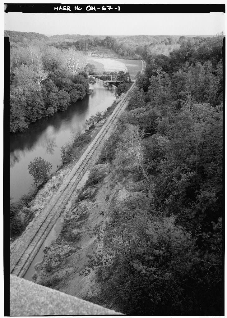
Station Road Bridge, Spanning Cuyahoga River, Brecksville

Station Road Bridge, Spanning Cuyahoga River, Brecksville, Cuyahoga County, OH. Surveyed as HAER OHIO,18-BRECK,4-, with 1 photograph and a 249-word written history.

From the record

“Station Road Bridge, Spanning Cuyahoga River, Brecksville, Cuyahoga County, OH”

Survey record header. Machine-read text.

surveyed by the federal HAER program as HAER OHIO,18-BRECK,4- · the record runs 249 words · one of 115 surveyed structures published for this county.
Sources: the survey record at the Library of Congress

Station Road Bridge, Spanning Cuyahoga River, Brecksville, Cuyahoga County, OH, photograph filed with the federal survey

1 photograph from the federal survey record, Library of Congress.

Written history

187 words

Source document Quoted word for word from HAER OHIO,18-BRECK,4-. Not written, edited or summarised by this site.

HISTORIC AMERICAN ENGINEERING RECORD STATION ROAD BRIDGE (HAER OH-67) Station Road, spanning the Cuyahoga River, between Brecksville, Cuyahoga County, and Sagamore Hills, Suinmit County, Ohio. Abandoned. Built by the Madison Massillon Bridge Company, the bridge represents a comparatively rare example of a double intersection Pratt truss. The bridge is feet long and feet wide. It served as an important vehicular connection between Summit and Cuyahoga counties until the construction of the nearby Brecksville-Northfield High Level Bridge, which opened in Now within the boundaries of the Cuyahoga Valley National Recreation Area, current plans call for the restoration of the bridge, although it will not be open to motor vehicle traffic.

Telephone conversation with Paulette Oswick, Architectural Historian, Cuyahoga Valley National Recreation Area, July 20, For general information on Ohio bridges, see Simmons, David A. "Engineering and Enterprise: Early Metal-Truss Bridges in Ohio." Timeline: A Publication of the Ohio Historical Society , February-March pp. See also Ohio Department of Transportation in Cooperation with the Federal Highway Administration. The Ohio Historic Bridge Inventory Evaluation, and Preservation Plan . [Columbus, Ohio]: Ohio Department of Transportation, Robert Buerglener, HABS, July 20, 4-

In context

Brecksville, Ohio The place record: every map, photograph and survey of this town.
Cuyahoga County, Ohio 114 topographic sheets across the county.
Library of Congress record The original filed report, and the sheets the survey produced. Those published here appear above.

Also surveyed in Brecksville

3 records

The federal surveyors worked through Brecksville building by building. These are the other structures they measured and filed a report on, longest report first.

SheetStructure SurveyReport
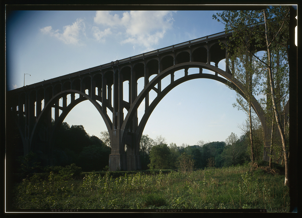
Brecksville-Northfield High Level Bridge, photograph filed with the federal surveyBrecksville-Northfield High Level BridgeHAER OHIO,18-BRECK,3-340 words
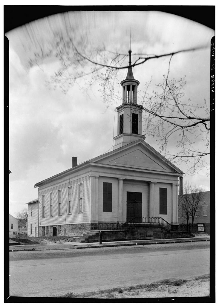
Congregational Church, photograph filed with the federal surveyCongregational ChurchHABS OHIO,18-BRECK,1-312 words
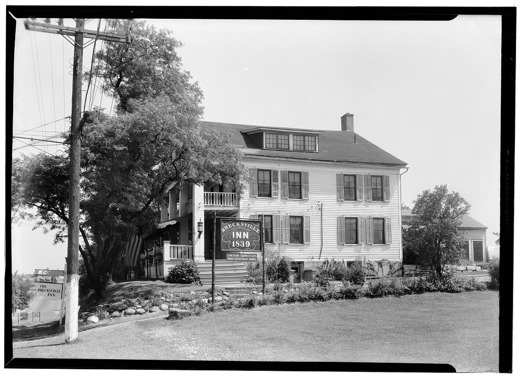
Brecksville Inn, photograph filed with the federal surveyBrecksville InnHABS OHIO,18-BRECK,2-297 words

Provenance

  • Written history. Quoted verbatim from HAER OHIO,18-BRECK,4-. United States federal work, no copyright under 17 U.S.C. 105.
  • Text capture. Machine-read from the scanned typescript filed with the survey, so spelling and spacing follow the original page.
  • How this page is made. Documentary passages are quoted from linked records; page labels and counts are clearly marked as presentation or calculations.