 Block
Block
Brecksville, Ohio
16 topographic sheets cover this place, the earliest surveyed in 1903 and the latest in 1994. It stands in Brecksville City. It lies in ZIP code area 44141. It stands on Wallin Creek. The Survey maps it on the Broadview Heights quadrangle. 13,635 people lived here at the 2020 count. It stands 889 feet above sea level.
Population over time
2 figuresBrecksville fell from 13,656 to 13,635 between 2010 and 2020. These are the recorded population figures Wikidata holds for this place, reached through the Geographic Names Information System number this page is keyed on rather than by name, so they belong to this place and not to another of the same name. Most are census counts, but not all are: an early figure may be a founding or settlement estimate. The change column is computed, and is left blank where more than 20 years separate a figure from the one before it, because a gap that long is not a change between two counts.
| Year | People | Change |
|---|---|---|
| 2010 | 13,656 | |
| 2020 | 13,635 | -21 (-0%) |
Then and now
1903 to 1994The same ground, surveyed 91 years apart. Drag the handle to wipe between them. Both sheets are United States Geological Survey originals; neither has been altered.
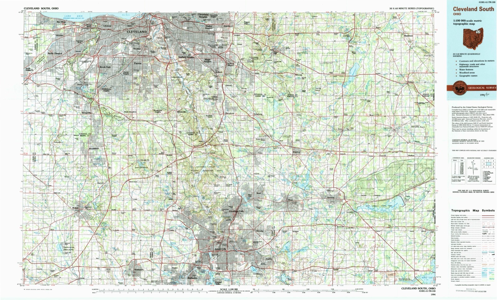
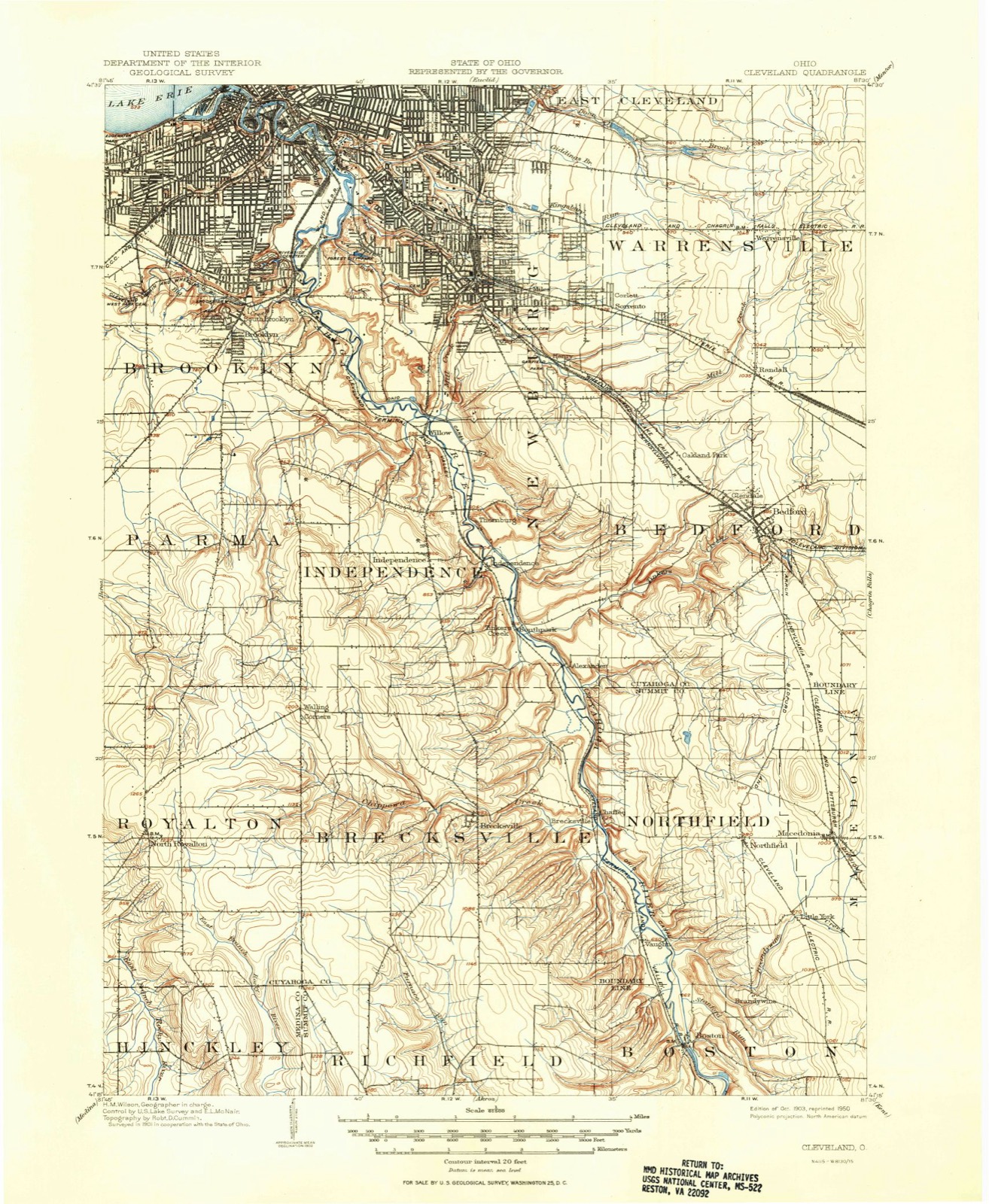
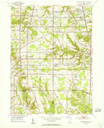
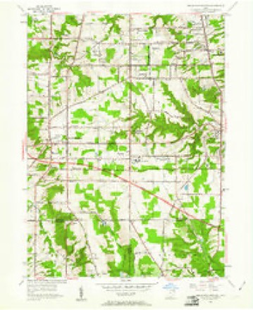
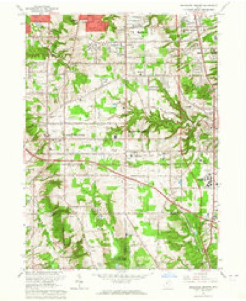
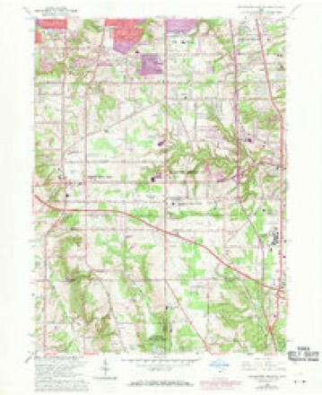
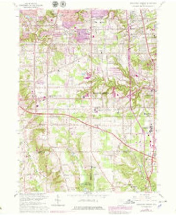
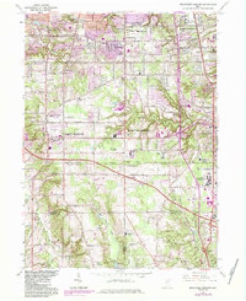
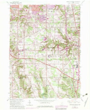
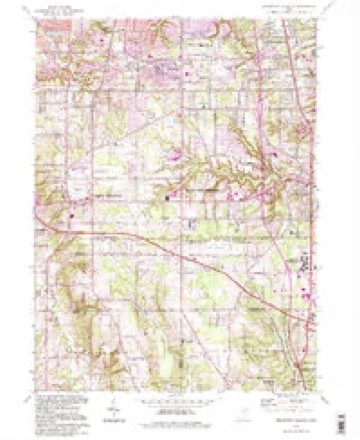
Topographic sheets covering this place
16 sheetsMatched by testing this settlement's coordinate against the published boundary of every sheet in the United States Geological Survey's historical collection. Each opens the scanned sheet at the Survey.
- 1903 USGS Cleveland quadrangle1:62500
- 1903 USGS Cleveland quadrangle1:62500
- 1953 USGS Broadview Heights quadrangle1:24000
- 1953 USGS Broadview Heights quadrangle1:24000
- 1956 USGS Cleveland quadrangle1:250000
- 1956 USGS Cleveland quadrangle1:250000
- 1956 USGS Cleveland quadrangle1:250000
- 1962 USGS Cleveland quadrangle1:250000
- 1963 USGS Broadview Heights quadrangle1:24000
- 1963 USGS Broadview Heights quadrangle1:24000
- 1963 USGS Broadview Heights quadrangle1:24000
- 1963 USGS Broadview Heights quadrangle1:24000
- 1963 USGS Broadview Heights quadrangle1:24000
- 1986 USGS Cleveland South quadrangle1:100000
- 1994 USGS Broadview Heights quadrangle1:24000
- 1994 USGS Cleveland South quadrangle1:100000






In the county-history sources
4,612 words on this townshipHistory of Cuyahoga County Ohio, published 1870 names this settlement in its chapter on Brecksville City. These are the passages that mention it, exactly as the scans read.
Brecksville was surveyed in 1811 by Alfred Wolcott, Ksq., and in June of that year the first settlement in the township was made, by Seth Paine and Melzar Clark, who came from Western Massachusetts. The former located on lot sixty-four, in the extreme southwestern part of the township, and died there before 1818. Ile hada family of two sons - Oliver N. and 8. White - and two daughters. One of them, Almira, married Melzar Clark, who soon after removed to Royalton. After his death the widow married Henry Bangs of that township.
Passage source: History of Cuyahoga County Ohio, published 1870.
Game, also, was very abundant. We have described the great Hinckley hunt on page sixty-six of the general history, but we add a few facts not known when that description was written. It originated at the house of Seth Paine, in this township in December, 1818. A meeting was held and officers appointed; Cary Oakes being captain for Brecksville, John Ferris captain for Royalton, Judge John Newton for Richfield, and "Squire Freyer for Brunswick. As remembered in Brecksville, the number of deer killed was three hundred and sixty-five; of bears, seventeen; of wolves, five. These figures differ a little from those previously given, but either set shows a very good day's work.
Passage source: History of Cuyahoga County Ohio, published 1870.
To the center of Brecksville came, in 1812, Lemuel Tloadley and Hosea Bradford, the former building there the first mil in the township, the following year. Bradford, who was a shoemaker, lived on the publie Both removed to Olmstead in the course of Up the Chippewa Eli and Abijah Bagley located the same year. The latter had two sons, named Russia and Nathaniel. John Adams, Rufus Newell and Aruna Phelps were also settlers of the township, about this period, im the Chippewa Valley.
Passage source: History of Cuyahoga County Ohio, published 1870.
Machine-read from a century-old scan, so expect the errors a machine makes: misspelled names, dropped words, stray characters.
Read the whole chapter on Brecksville City - it names this place 14 more 14 times.
Fires near this place
2 since 1993Regional context, not property-specific evidence. The federal wildfire occurrence database lists 2 fires within 5 miles of Brecksville between 1993 and 2000, burning about 7 acres in total. None started naturally. 1 was recorded as arson. Distance is straight-line from the map coordinates, so a fire counted here may appear on a neighbouring settlement's page as well.
| Reported cause | Fires |
|---|---|
| Arson/incendiarism | 1 |
| Missing data/not specified/undetermined | 1 |
The most recent of them, most recent first, with the day each was reported and the service that recorded it.
| Date | Cause | Size | Reported by | Name on the report |
|---|---|---|---|---|
| 21 September 1993 | Arson/incendiarism | under an acre | Cuyahoga Valley National Park | VANACHEK |
| 28 March 2000 | Missing data/not specified/undetermined | 7.3 acres | Cuyahoga Valley National Park | STONE |
Settlements close enough to share some of these fires:
Specimens collected near this place
12 of 1,107 shownRegional context, not property-specific evidence. Museums hold 1,107 specimens collected within 10 miles of Brecksville between 1876 and 1974: 1,082 Animalia, 14 Plantae, 8 Fungi, 2 Protozoa, 1 incertae sedis. 12 distinct Species records are shown. Collected by A. D. Huryn, A. D. Selby, A. Hall and others. Each is a physical object with a catalogue number, and each entry opens the museum's record. This is what was collected and kept, not a survey of what lives here - nothing can be concluded from a species being absent.
| Image | Species | Year | Collected by | Where, as recorded |
|---|---|---|---|---|
 | Osmunda claytoniana L. | 1894 | Winkler, H.J. | Cleveland. |
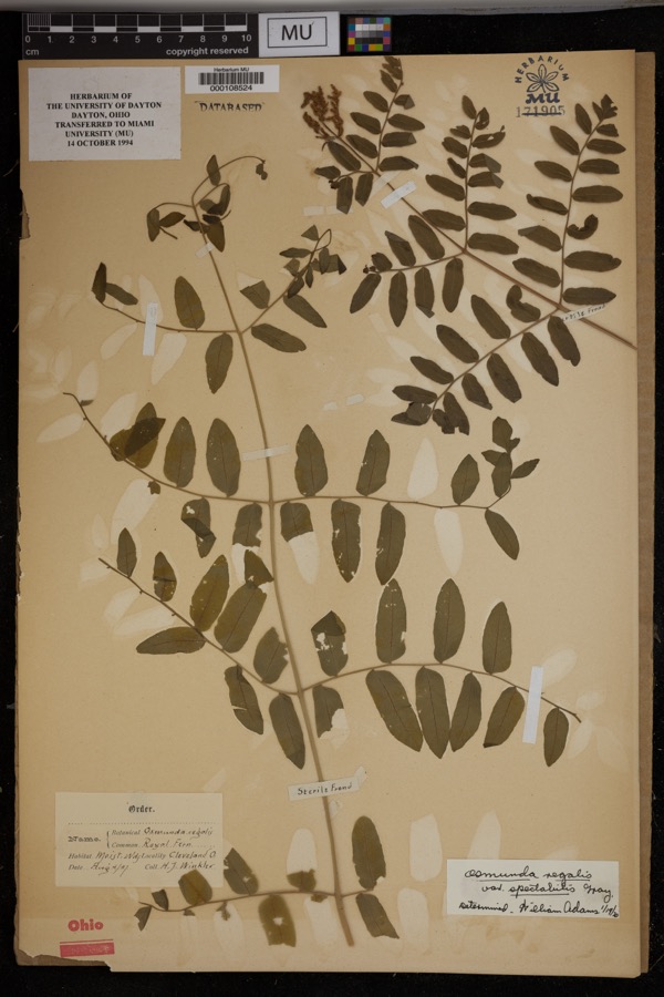 | Osmunda regalis var. spectabilis (Willd.) A.Gray | 1897 | Winkler, H.J. | Cleveland. Moist woods. |
 | Dendroica caerulescens caerulescens (J.F.Gmelin, 1789) | 1876 | A. Hall | unspecified |
 | Dendroica castanea (A.Wilson, 1810) | 1876 | A. Hall | unspecified |
 | Dendroica fusca (Statius Müller, 1776) | 1876 | A. Hall | unspecified |
 | Dendroica striata (J.R.Forster, 1772) | 1876 | A. Hall | unspecified |
 | Seiurus aurocapilla aurocapilla (Linnaeus, 1766) | 1876 | A. Hall | unspecified |
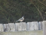 | Baeolophus bicolor bicolor (Linnaeus, 1766) | 1877 | A. Hall | unspecified |
 | Bombycilla cedrorum Vieillot, 1808 | 1877 | A. Hall | unspecified |
 | Cryptotaenia canadensis (L.) DC. | 1890 | R. H. Ingraham | Miles |
 | Ambloplites rupestris (Rafinesque, 1817) | 1893 | A. Woolman | Cuyohoga River, Independence, Ohio |
 | Ameiurus melas (Rafinesque, 1820) | 1893 | not recorded | Cuyahoga River, Independence, Ohio |
All 1,107 specimens within 10 miles, at the Global Biodiversity Information Facility.
Mines and quarries near this place
5 within 5 milesRegional context, not property-specific evidence. The federal mineral resources record lists 5 workings within 5 miles of Brecksville: 3 past producers, 2 producers. 2 still produce. What was taken out: Sand and Gravel, Construction, Clay, Bloating Material. Distance is straight-line from the map coordinates, so a quarry counted here may appear on a neighbouring settlement's page as well.
| Where | Site | Commodity | Status | Recorded |
|---|---|---|---|---|
| Independence | Bloating Material | Producer | Sedimentary | |
| Hydraulic Shale Pit | Clay | Producer | ||
| Independence Clay Pit | Clay | Past Producer | ||
| Terra Visa Gravel Pit | Sand and Gravel, Construction | Past Producer | Sedimentary | |
| Terra Visa Gravel Pit | Sand and Gravel, Construction | Past Producer |
Storms near this place
20 since 1994Regional context, not property-specific evidence. The National Weather Service names Brecksville in 20 storm reports between 1994 and 2024: 11 thunderstorm wind, 5 hail, 4 flash flood. No death or injury is recorded in these reports. Each account below is quoted exactly as the forecast office filed it, from the NOAA Storm Events Database, and each date opens the federal record of that event.
| When | Event | Place named | Harm | What the report says |
|---|---|---|---|---|
| May 2024 | Thunderstorm Wind | Brecksville | $20,000 | Downed tree punctured roof of house along Wiese Road in Brecksville. |
| July 2011 | Thunderstorm Wind | Brecksville | $10,000 | Thunderstorm winds downed a few trees. |
| June 2005 | Thunderstorm Wind | Brecksville | $10,000 | Several trees downed due to thunderstorm winds. |
| July 2005 | Thunderstorm Wind | Brecksville | $8,000 | A few trees and large limbs were reported down. |
| May 2020 | Flash Flood | Brecksville | $4,000 | Significant flooding of the Chippewa Creek in the Brecksville Reservation notably in the Brecksville Metropark Reservation. The USGS gage at Chippewa Creek reached a stage of 8.37 feet at 725 PM with a flow of 3,360 cfs. This falls between a 25 and 50 year flood. Flooding started in Broadview Heights as early as just after 6 PM with flooding of Broadview, Riverview, and Wiese Roads and by 7 PM the fire department had advised the area about flooding. The Winding Creek area saw high water levels. |
| July 2006 | Thunderstorm Wind | Brecksville | $2,000 | A few trees were reported down. |
| August 2003 | Thunderstorm Wind | Brecksville | $2,000 | Thunderstorm winds downed a couple of large tree limbs. |
| August 1996 | Thunderstorm Wind | Brecksville | $2,000 | no account filed |
| May 2010 | Thunderstorm Wind | Brecksville | $1,000 | Thunderstorm winds downed two large tree limbs. |
| August 2024 | Thunderstorm Wind | Brecksville | - | Several healthy trees snapped in Brecksville Reservation in Brecksville. |
| July 2022 | Thunderstorm Wind | Brecksville | - | Couple trees downed in Brecksville. |
| September 2020 | Flash Flood | Brecksville | - | Retention pond on Falls Lane overflowed and several properties flooded. |
| September 2020 | Flash Flood | Brecksville | - | Chippewa Creek Drive flooded when the Chippewa Creek came out of banks with water several feet deep by 4 PM. |
| May 2019 | Flash Flood | Brecksville | - | Heavy rain moved across north central Ohio around 4 PM. This storm produced up to 2 inches of rain in about an hour resulting in flash flooding. In Brooklyn Heights Brecksville Road was flooded with 2 feet of water and closed. Intersection of Greenhaven and Weise Road was flooded in the town of Brecksville. |
| May 2011 | Hail | Brecksville | - | Thunderstorms produced quarter size hail. |
| June 2006 | Hail | Brecksville | - | Penny size hail was observed. |
| May 2004 | Hail | Brecksville | - | Penny size hail was observed. |
| May 2004 | Hail | Brecksville | - | Penny size hail was observed. |
| June 2000 | Thunderstorm Wind | Brecksville | - | Thunderstorm winds were estimated at 60 mph. |
| July 1994 | Hail | Brecksville | - | no account filed |
Nearest settlements
The eight closest, with where each one stands in the county. Distances are straight-line, computed from the Geographic Names Information System coordinates.
| Map | Place | Distance | Sheets |
|---|---|---|---|
| Enterprise (historical) | 2.6 miles | 16 | |
| Alexander | 3.0 miles | 15 | |
| Broadview Heights | 3.1 miles | 16 | |
| Southpark | 3.3 miles | 15 | |
| Independence | 3.4 miles | 16 | |
| Walling Corners | 3.5 miles | 16 | |
| Jaite | 3.5 miles | 15 | |
| Pleasant Valley | 4.2 miles | 16 |
Elsewhere
Matched on this settlement's Geographic Names Information System number rather than its name, so it cannot be a different place of the same name in another state.
| Wikipedia article on Brecksville | An encyclopaedic summary. Its text is share-alike, so it is linked here rather than copied. |
| Wikidata item Q904449 | The structured record the population and elevation above come from. Public domain (CC0). |
Provenance
This settlement is recorded in the Geographic Names Information System as feature 1064483. The sheet list is computed by point-in-boundary test against the United States Geological Survey's historical topographic inventory. Both are works of the United States government and carry no copyright under 17 U.S.C. 105.
Wildfire. Short, Karen C. 2022. Spatial wildfire occurrence data for the United States, 1992-2020 [FPA_FOD_20221014]. 6th Edition. Fort Collins, CO: Forest Service Research Data Archive. https://doi.org/10.2737/RDS-2013-0009.6 Collected with United States Government funding and usable without additional permissions or fees.
Specimens. Global Biodiversity Information Facility (GBIF), https://www.gbif.org/. Only records licensed CC0 or CC BY are used. Records licensed CC BY-NC are excluded because this site carries advertising. Images are checked individually and any whose licence is non-commercial, no-derivatives or unreadable is refused.
Mines and quarries. USGS Mineral Resources Data System (MRDS) https://mrdata.usgs.gov/mrds/ A work of the United States government, no copyright under 17 U.S.C. 105.
Storms. NOAA National Centers for Environmental Information, Storm Events Database https://www.ncei.noaa.gov/stormevents/ A work of the United States government, no copyright under 17 U.S.C. 105. Narratives are quoted verbatim from the National Weather Service report and are not edited or summarised.