BlockBefore

Oak Knoll Park Bridge, Oak Knoll Park, Massillon

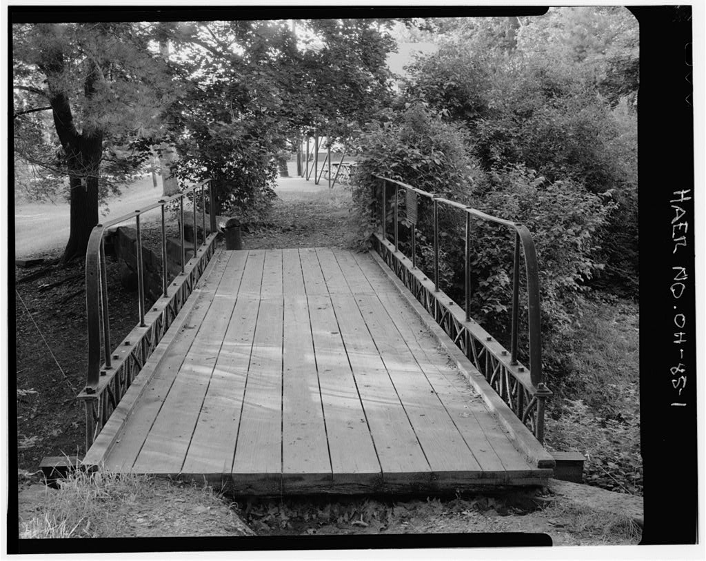
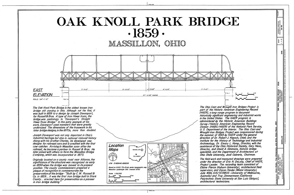
Oak Knoll Park Bridge, Oak Knoll Park, Massillon, Stark County, OH. Surveyed as HAER OHIO,76-MASS,1-, with 1 photograph, 1 measured drawing and a 235-word written history.

From the record

“Oak Knoll Park Bridge, Oak Knoll Park, Massillon, Stark County, OH”

Survey record header. Machine-read text.

surveyed by the federal HAER program as HAER OHIO,76-MASS,1- · the record runs 235 words · one of 7 surveyed structures published for this county.

Sources: the survey record at the Library of Congress

Oak Knoll Park Bridge, Oak Knoll Park, Massillon, Stark County, OH, photograph filed with the federal survey
Oak Knoll Park Bridge, Oak Knoll Park, Massillon, Stark County, OH, measured drawing filed with the federal survey

1 photograph and 1 measured drawing from the federal survey record, Library of Congress.

Location

164 words

Source document Quoted word for word from HAER OHIO,76-MASS,1-. Not written, edited or summarised by this site.

Oak Knoll Park, Massillon, Stark County, Ohio. UTM: near Alliance, Ohio. Moved in to its present location. CM. Russell & Company City of Massillon (Parks Department), City Hall, Massillon, Ohio. Pedestrian use and a historic exhibit. The bridge is the oldest known iron bridge in Ohio. It is an early work of Joseph Davenport, founder of the Massillon Bridge Company, and is a Howe truss that anticipates his "Davenport straight Howe truss." When the County Commissioners had the bridge replaced in they moved it to its present location. The Ohio Cast- and Wrought-Iron Bridges Project was cosponsored by HAER, Dr. Robert J. Kapsch Chief; the Instute for the History of Technology and Industrial Archaeology, Dr. Emory L.

Kemp, Director; the Ohio Historical Society, Gary Ness, Director and David Simmons, Historic Bridge Specialist; and the Department of Architecture, Ohio State University, Jose Obrerie, Chairman. Wm. Michael Lawrence, Historian Source: Simmons, David A. "Engineering and Enterprise: Early Truss Bridges in Ohio," Timeline , February-March Project Information

In context

Massillon, Ohio The place record: every map, photograph and survey of this town.
Stark County, Ohio 113 topographic sheets across the county.
Library of Congress record The original filed report, and the sheets the survey produced. Those published here appear above.

Also surveyed in Stark County

6 records

The federal survey recorded these other structures elsewhere in Stark County. These are the other structures they measured and filed a report on, longest report first.

SheetStructure SurveyReport
Third Street Southeast Bridge, photograph filed with the federal surveyThird Street Southeast BridgeHAER OHIO,76-CANT,4-5,365 words
Cherry Street Bridge, photograph filed with the federal surveyCherry Street BridgeHAER OHIO,76-CANFU,1-2,724 words
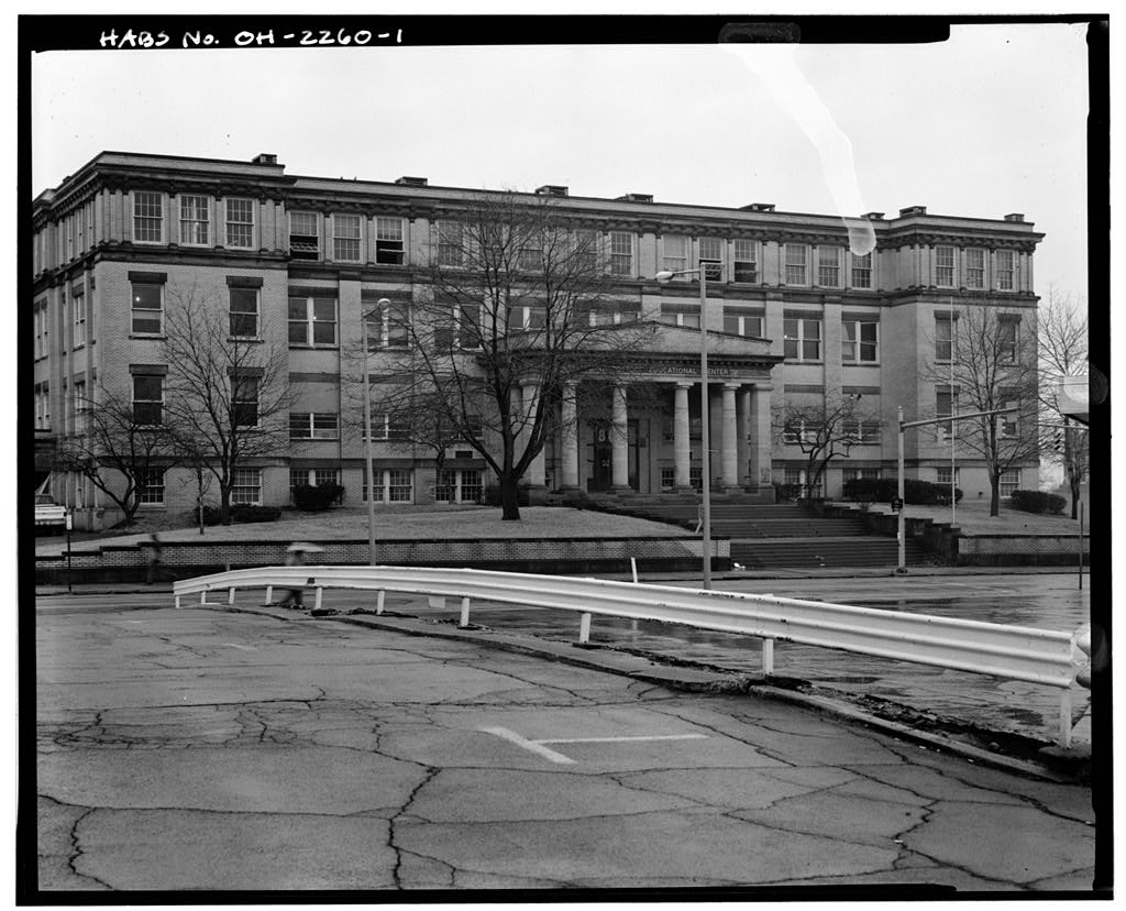
McKinley High School, photograph filed with the federal surveyMcKinley High SchoolHABS OHIO,76-CANT,1-454 words
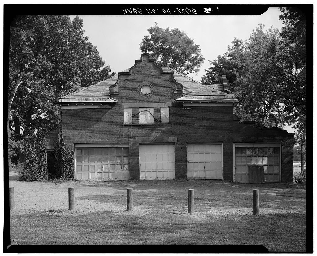
Harry S. Renkert Carriage House, photograph filed with the federal surveyHarry S. Renkert Carriage HouseHABS OHIO,76-CANT,2A-445 words
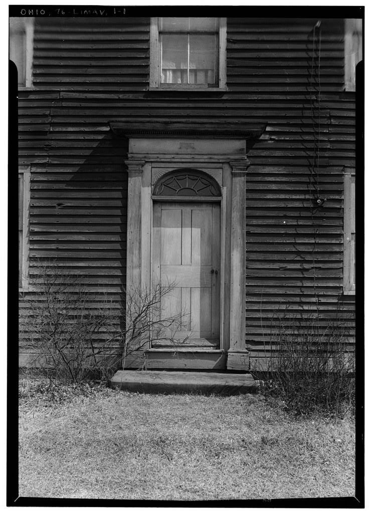
Alonzo Baldwin House (Entrance Doorway), photograph filed with the federal surveyAlonzo Baldwin House (Entrance Doorway)HABS OHIO,76-LIMAV,1-158 words
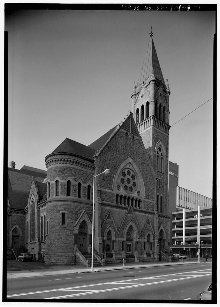
First Methodist Church, photograph filed with the federal surveyFirst Methodist ChurchHABS OHIO,76-CANT,3-42 words

Provenance

  • Written history. Quoted verbatim from HAER OHIO,76-MASS,1-. United States federal work, no copyright under 17 U.S.C. 105.
  • Text capture. Machine-read from the scanned typescript filed with the survey, so spelling and spacing follow the original page.
  • How this page is made. Documentary passages are quoted from linked records; page labels and counts are clearly marked as presentation or calculations.