 Block
Block
Massillon, Ohio
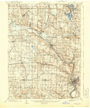
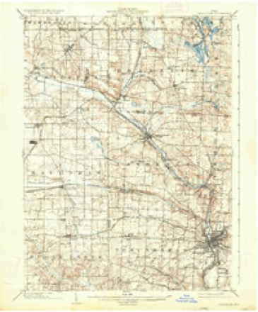
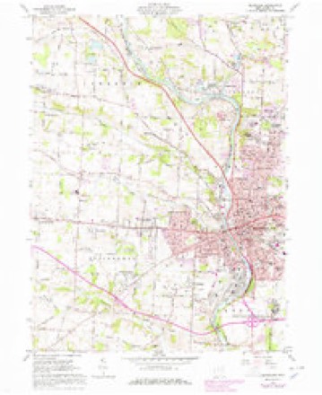
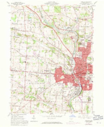
18 topographic sheets cover this place, the earliest surveyed in 1901 and the latest in 1994. It stands in Massillon City. It lies in ZIP code area 44646. It stands on Sippo Creek. The Survey maps it on the Massillon quadrangle. 32,146 people lived here at the 2020 count. It stands 948 feet above sea level.
Population over time
2 figuresMassillon fell from 32,149 to 32,146 between 2010 and 2020. These are the recorded population figures Wikidata holds for this place, reached through the Geographic Names Information System number this page is keyed on rather than by name, so they belong to this place and not to another of the same name. Most are census counts, but not all are: an early figure may be a founding or settlement estimate. The change column is computed, and is left blank where more than 20 years separate a figure from the one before it, because a gap that long is not a change between two counts.
| Year | People | Change |
|---|---|---|
| 2010 | 32,149 | |
| 2020 | 32,146 | -3 (-0%) |
Then and now
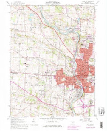
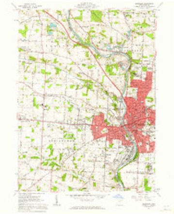
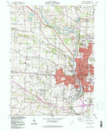
1901 to 1994The same ground, surveyed 93 years apart. Drag the handle to wipe between them. Both sheets are United States Geological Survey originals; neither has been altered.
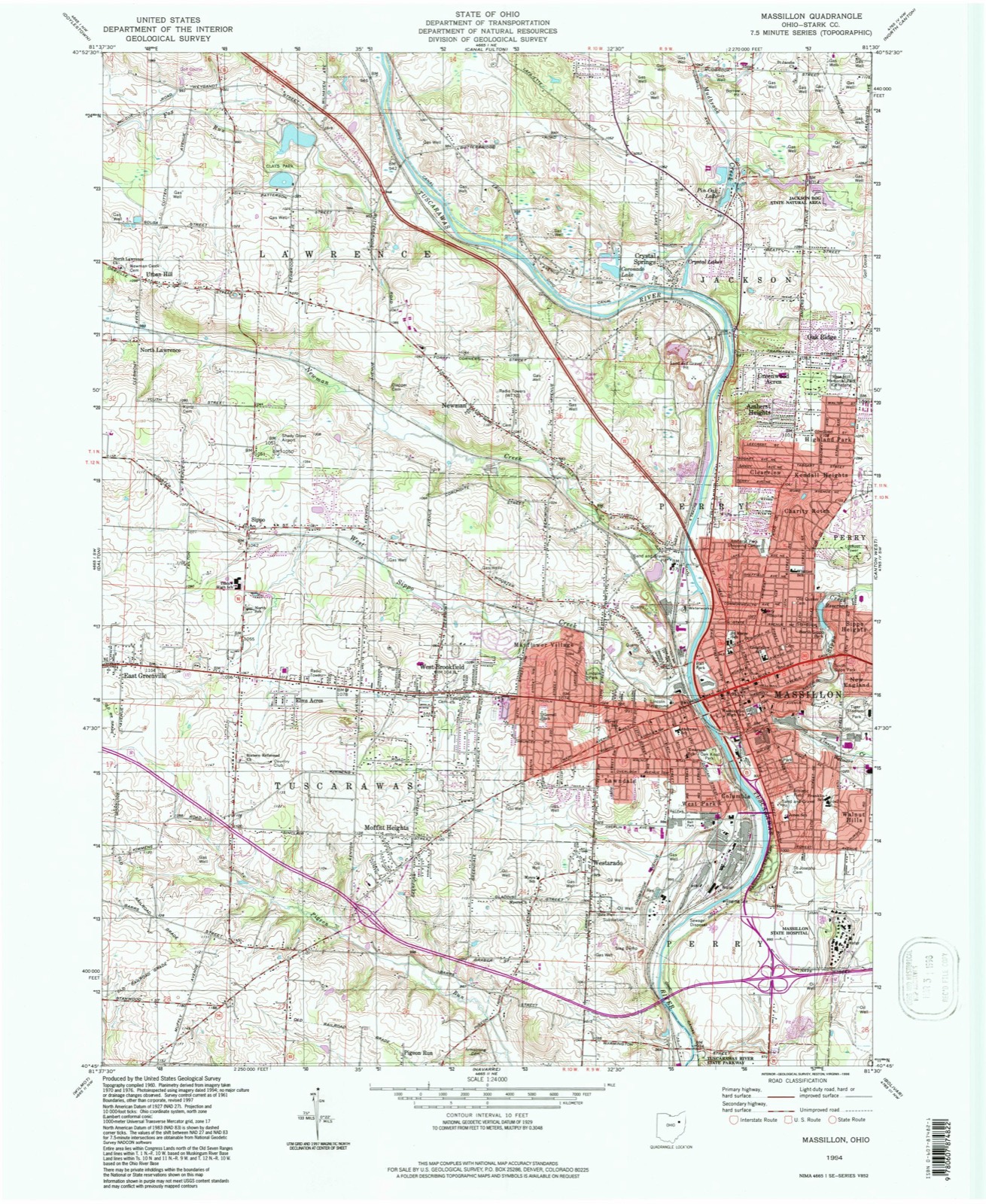
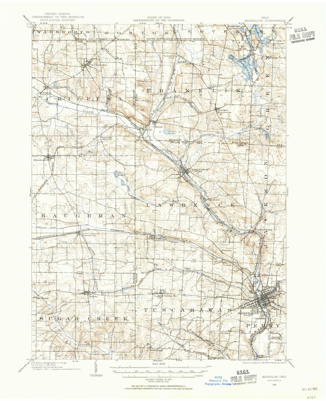
Topographic sheets covering this place
18 sheetsMatched by testing this settlement's coordinate against the published boundary of every sheet in the United States Geological Survey's historical collection. Each opens the scanned sheet at the Survey.
- 1901 USGS Massillon quadrangle1:62500
- 1901 USGS Massillon quadrangle1:62500
- 1903 USGS Massillon quadrangle1:62500
- 1903 USGS Massillon quadrangle1:62500
- 1951 USGS Canton quadrangle1:250000
- 1953 USGS Canton quadrangle1:250000
- 1957 USGS Canton quadrangle1:250000
- 1957 USGS Canton quadrangle1:250000
- 1957 USGS Canton quadrangle1:250000
- 1961 USGS Massillon quadrangle1:24000
- 1961 USGS Massillon quadrangle1:24000
- 1961 USGS Massillon quadrangle1:24000
- 1961 USGS Massillon quadrangle1:24000
- 1962 USGS Canton quadrangle1:250000
- 1962 USGS Canton quadrangle1:250000
- 1986 USGS Canton quadrangle1:100000
- 1986 USGS Canton quadrangle1:100000
- 1994 USGS Massillon quadrangle1:24000







Photographs
1 photograph,Taken for the Office of War Information and the Farm Security Administration, who photographed the country between 1935 and 1944. Works of United States government photographers, with no known restriction on use. Each opens its catalogue record.
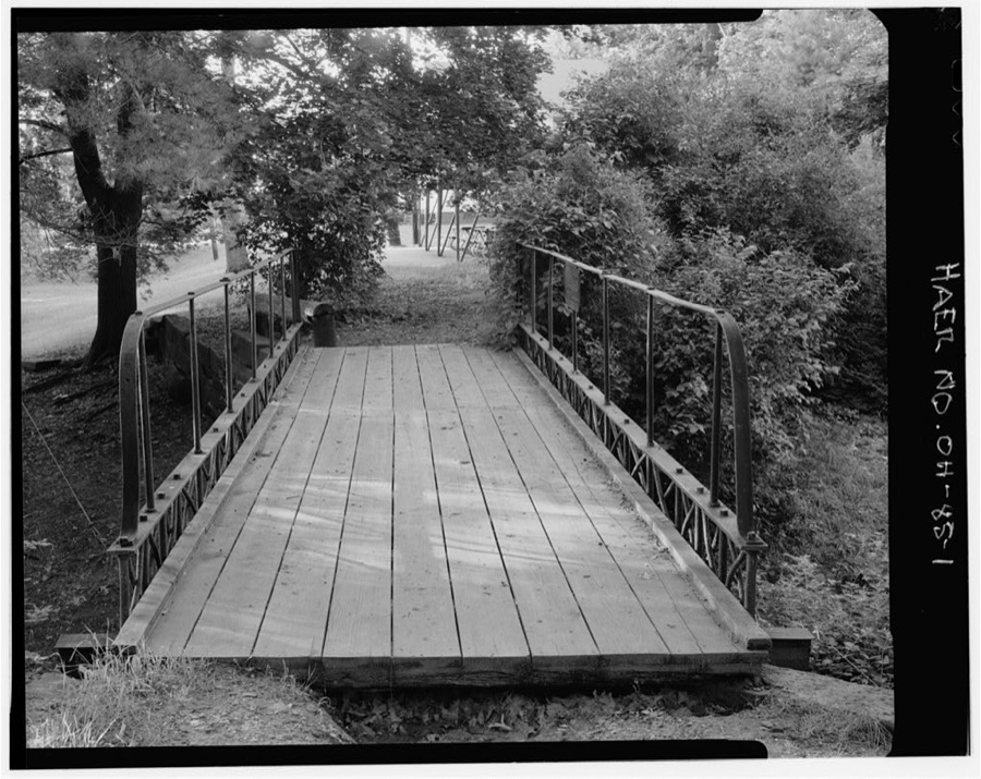
Unattributed, . Library of Congress
Fires nearby
1 since 2005The federal wildfire occurrence database lists 1 fire within 5 miles of Massillon between 2005 and 2005, burning about 8 acres in total. None started naturally. None was recorded as arson. Distance is straight-line from the map coordinates, so a fire counted here may appear on a neighbouring settlement's page as well.
| Reported cause | Fires |
|---|---|
| Debris and open burning | 1 |
The most recent of them, most recent first, with the day each was reported and the service that recorded it.
| Date | Cause | Size | Reported by | Name on the report |
|---|---|---|---|---|
| 13 April 2005 | Debris and open burning | 8.0 acres | Ohio Department of Natural Resources | not named |
Settlements close enough to share some of these fires:
Specimens collected nearby
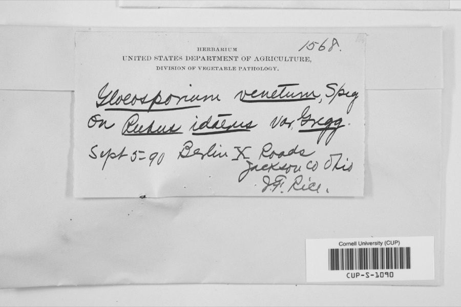
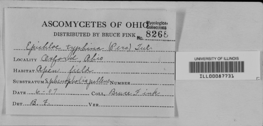
12 of 432 shownMuseums hold 432 specimens collected within 10 miles of Massillon between 1836 and 1975: 372 Animalia, 47 Plantae, 8 Unrecorded, 4 Fungi, 1 Protozoa. 12 distinct Species records are shown. Collected by A.M. Rogers, Anson A. Hinkley, Antonio, T. and others. Each is a physical object with a catalogue number, and each entry opens the museum's record. This is what was collected and kept, not a survey of what lives here - nothing can be concluded from a species being absent.
| Image | Species | Year | Collected by | Where, as recorded |
|---|---|---|---|---|
 | Gloeosporium venetum Speg. | 1890 | J.T. Rice | |
 | unnamed | 1907 | Bruce Fink | |
 | Catocala flebilis Grote, 1872 | 1940 | not recorded | Navarre |
 | Carex granularis Muhl. ex Willd. | 1836 | Collector unknown | Canton |
 | Carex intumescens Rudge | 1836 | Collector unknown | Canton |
 | Ectopistes migratorius (Linnaeus, 1766) | 1875 | not recorded | No specific locality recorded. |
 | Archilochus colubris (Linnaeus, 1758) | 1885 | Bulley, R. H | Canton |
 | Dumetella carolinensis (Linnaeus, 1766) | 1885 | Bulley, R. H | Canton |
 | Hylocichla mustelina (Gmelin, 1789) | 1885 | Bulley, R. H | Canton |
 | Icterus galbula (Linnaeus, 1758) | 1885 | not recorded | Canton |
 | Melospiza georgiana (Latham, 1790) | 1885 | Bulley, R. H | Canton |
 | Molothrus ater ater (Boddaert, 1783) | 1885 | Bulley, R. H | Canton |
All 432 specimens within 10 miles, at the Global Biodiversity Information Facility.
Mines and quarries nearby
8 within 5 milesThe federal mineral resources record lists 8 workings within 5 miles of Massillon: 3 past producers, 3 producers, 2 plants. 5 still produce. What was taken out: Sand and Gravel, Construction, Iron. Distance is straight-line from the map coordinates, so a quarry counted here may appear on a neighbouring settlement's page as well.
| Where | Site | Commodity | Status | Recorded |
|---|---|---|---|---|
| Republic Steel/ Massillon, Ohio | Iron | Producer | ||
| Aj Diana Sons Inc Pit & Mill | Sand and Gravel, Construction | Plant | ||
| Allied Corp Plant No 3 & Pit | Sand and Gravel, Construction | Plant | ||
| Allied Corp. Plant Number 3 | Sand and Gravel, Construction | Past Producer | Sedimentary | |
| Diana Sand and Gravel Pit | Sand and Gravel, Construction | Past Producer | Sedimentary | |
| Massillon Plant | Sand and Gravel, Construction | Past Producer | Sedimentary | |
| Northern Ohio Pit | Sand and Gravel, Construction | Producer | ||
| Oster Sand & Gravel Missilon Pit | Sand and Gravel, Construction | Producer |
Storms nearby
46 since 1996The National Weather Service names Massillon in 46 storm reports between 1996 and 2022: 20 hail, 19 thunderstorm wind, 2 flash flood, 2 tornado. The reports record 1 injury. Each account below is quoted exactly as the forecast office filed it, from the NOAA Storm Events Database, and each date opens the federal record of that event.
| When | Event | Place named | Harm | What the report says |
|---|---|---|---|---|
| May 2001 | Lightning | Massillon | 1 hurt, $25,000 | A 46 year old male was struck by lightning on the northeast side of Massillon. The man was standing just outside of his house and was taken to a hospital and treated for minor injuries. The house suffered extensive electrical damage from the strike. |
| June 2019 | Flood | Massillon | $1,200,000 | The Chippewa Creek, a tributary for the Tuscarawas River measured an estimated 7.34 between the 11th and 17th of June, again with 3 to 5 inches falling on the 16th and 17th. Heavy rain over the headwaters of the Tuscarwas River were averaged 7.65 for from June 11 through the 17th, with 3 to 5 inches falling on the 16th and 17th. The Tuscarawas River basin average rainfall for June 11 through June 17th was 7.58 with 3 to 5 falling during the 16th and 17th. As a result of concurrent major flooding on the tributary Chippewa Creek and the headwaters of the Tuscarawas River resulted in a flood near the 0.2 percent or 500 year flood level at the confluence in Canal Fulton and Clinton. Downstream of Canal Fulton the Tuscarawas River reached a near 1 percent recurrence flood, or 100 year event in the City of Massillon.||11 AM On June 18th, the flood gauge was 14.82 ft. which made it the fourth highest recording since 1913. Massillon is a City protected by extensive levee systems through most of the town. Therefore most of the city is not impacted by flood waters until major flood stage. Near 3rd St. ad Lake Ave there is water up to the foundation of 3-6 homes, water over 3rd SW St., and water up to the bottom of the bridge of Lake Ave. Further downstream in Navarre flood waters covered Center Street NW and Ohio Street SW (U.S. Route 62), a major thruway. |
| November 2002 | Tornado (F1) | Massillon | $850,000 | A tornado touched down in Massillon between Tremont Avenue SW and Lincoln Way West just west of State Route 21. From the initial touchdown site, the tornado traveled northeast along a track roughly parallel to Lincoln Way and lifted to the west of State Route 241 after being on the ground for about three quarters of a mile. The tornado touched down a second time in Perry Township north of Valerie Street NW. The tornado tracked northeast across Jackson Street and dissipated near the intersection of Perry Street and Harris Avenue. This segment was also roughly three quarters of a mile in length and around 25 yards in width. A home was damaged on Tremont Avenue and several businesses sustained window and roof damage as the tornado moved through downtown Massillon. A semi truck and several large signs were also blown over in this area. Further northeast in Perry Township, four homes lost entire roofs in the area between Nottingham and List Streets. Many cars, including one with a board driven through it's door, were damaged or destroyed by trees and flying debris in this same area. A total of 23 properties sustained either roof and siding damage or downed trees on List Street alone. |
| June 2011 | Hail | Massillon | $100,000 | A severe thunderstorm rolled through the county, producing a large swatch of golf ball size hail. Numerous spotters observed the severe hail lasting for several minutes. |
| June 2011 | Hail | Massillon | $100,000 | Thunderstorms produced damaging hail, ranging in size from quarters to golf balls. Numerous vehicles were damaged by the severe hail. |
| August 2007 | Thunderstorm Wind | Massillon | $80,000 | Tree and large limbs were reported down throughout Perry Township. Scattered power outages caused by the fallen trees were reported. |
| June 2011 | Hail | Massillon | $50,000 | Thunderstorms produced quarter size hail, lasting several minutes. Numerous vehicles sustained damage. |
| June 2005 | Flash Flood | Massillon | $50,000 | Thunderstorms dumped between one and two inches of rain on portions of Stark County in a very short period of time. 1.93 inches of rain was measured by an automated gage near Genoa in about 90 minutes. Widespread urban and lowland flooding occurred between Massilon and Canton. Water on some roadways was as much as two feet deep. |
| April 2002 | Thunderstorm Wind | Massillon | $50,000 | Thunderstorm winds downed trees and power lines to the north of Massillon and in North Canton. |
| July 2005 | Thunderstorm Wind | Massillon | $25,000 | Numerous trees and large limbs were reported down on a golf course in the area. As many as 25 trees were either completely downed or had large limbs broken from them. |
| July 2012 | Thunderstorm Wind | Massillon | $20,000 | Thunderstorm winds downed a few trees. At least one street was blocked by a fallen tree. |
| June 2015 | Thunderstorm Wind | Massillon | $15,000 | Thunderstorm winds uprooted a large tree which landed on a house and damaged it. A few other trees were reported down across the north side of Massillon. |
| July 2003 | Thunderstorm Wind | Massillon | $15,000 | Thunderstorm winds damaged two homes in Massillon. |
| July 2013 | Thunderstorm Wind | Massillon | $10,000 | Thunderstorm winds downed a few trees. |
| June 2002 | Hail | Massillon | $10,000 | Quarter size hail was observed five miles north of Massillon. |
| August 2002 | Thunderstorm Wind | Massillon | $10,000 | Thunderstorm winds downed several large trees. |
| June 1996 | Flash Flood | Massillon | $10,000 | no account filed |
| June 2007 | Thunderstorm Wind | Massillon | $8,000 | Numerous trees were reported down. |
| July 2010 | Thunderstorm Wind | Massillon | $5,000 | Thunderstorm winds downed a couple of large trees. A cable line also went down due to the thunderstorm winds. |
| July 2005 | Thunderstorm Wind | Massillon | $5,000 | Numerous trees were reported downed. A road was temporarily closed because of a fallen tree. |
| April 2002 | Hail | Massillon | $5,000 | Dime size hail was reported. |
| September 2002 | Hail | Massillon | $5,000 | Nickel size hail was observed. |
| August 2001 | Thunderstorm Wind | Massillon | $5,000 | Thunderstorm winds downed many large tree limbs. |
| June 2007 | Thunderstorm Wind | Massillon | $4,000 | Several trees were reported down. |
| August 2005 | Hail | Massillon | $4,000 | Penny size hail was observed. Also, a few trees and large limbs were reported down as the severe thunderstorms moved through the area. |
| June 2005 | Thunderstorm Wind | Massillon | $2,000 | A few large limbs down. |
| June 2015 | Thunderstorm Wind | Massillon | $1,000 | A 40 foot tree was snapped just east of Massillon in Perry Township. |
| January 2008 | Thunderstorm Wind | Massillon | $1,000 | One tree was reported down. |
| June 2022 | Thunderstorm Wind | Massillon | - | Several trees downed about one-mile southwest of Massillon. |
| April 2020 | Tornado (EF0) | Massillon | - | This EF0 tornado began at the intersection of Lincoln Way W and 26th Street NW in Massillon, where hardwood trees were uprooted. As the tornado moved southeastward, ten turbine fans were ripped off the roof of a warehouse at Shearer's Stark Distribution Center on Phoenix Avenue SE in Massillon. Farther along the tornado's path, it uprooted trees and destroyed a barn at a farm along Kemary Avenue SW, about 0.9 miles south-southwest of Richville. The tornado progressed southeastward toward East Sparta. As it approached the town, softwood trees were uprooted along Downing Street SW, about 0.2 miles east-southeast of Briggle Avenue SW. In addition, a home lost a portion of its roof about 0.25 miles west-northwest of the intersection of Ridge Avenue SE and Farber Street SE. Afterward, the EF0 tornado veered toward the south-southeast. Softwood trees were uprooted along Chestnut Avenue SE, about 0.5 miles south of downtown East Sparta. The tornado uprooted more softwood trees about 0.1 miles north-northwest of the intersection of OH 800 and Steele Drive NE before moving into Tuscarawas County. No fatalities or injuries occurred. |
| April 2020 | Thunderstorm Wind | Massillon | - | Trees down where Lincoln Way NW intersects 28th Street NW, 20th Street NW, and 17th Street NW. Large uprooted tree at Erie Street S and Forest Avenue SE. Considering the nearby tornado was no more than 100 yards wide, this tree damage in Massillon was likely related to straight-line winds. |
| April 2017 | Hail | Massillon | - | Penny sized hail was observed. |
| May 2014 | Hail | Massillon | - | Penny sized hail was observed. |
| May 2014 | Hail | Massillon | - | Penny-sized hail reported to 911. |
| June 2013 | Hail | Massillon | - | Penny sized hail was observed. |
| May 2012 | Hail | Massillon | - | Penny sized hail was observed. |
| August 2012 | Hail | Massillon | - | Penny sized hail was observed. |
| May 2011 | Flood | Massillon | - | Saturated ground conditions from recent rains set the stage for flooding on the 24th as a cold front moved into Stark County. Showers developed along this boundary, with rainfall amounts recorded at 0.80 inches in NE Canton and 0.50 inches in NW Canton. Though not a significant amount of rainfall, it became almost entirely runoff. The result was flooding of several roads, mainly in the Canton and Massillon Areas. Some roads flooded include RT21 from Lake to Cherry St. in Massillon along with Fire Station #4. Most of the rainfall fell within 30 minutes, so the rate of the rainfall contributed to the level of flooding. |
| May 2010 | Hail | Massillon | - | Golf ball sized hail was observed. |
| July 2008 | Hail | Massillon | - | Penny size hail was observed. |
| July 2008 | Hail | Massillon | - | Half dollar size hail was observed. |
| June 2006 | Hail | Massillon | - | Quarter size hail was observed. |
| May 2006 | Hail | Massillon | - | Penny size hail was observed. |
| August 2001 | Hail | Massillon | - | Nickel to dime size hail was reported. |
| November 1996 | Thunderstorm Wind | Massillon | - | no account filed |
| September 1996 | Hail | Massillon | - | no account filed |
Nearest settlements
The eight closest, with where each one stands in the county. Distances are straight-line, computed from the Geographic Names Information System coordinates.
| Map | Place | Distance | Sheets |
|---|---|---|---|
| West Massillon | 0.7 miles | 18 | |
| Columbia | 0.9 miles | 18 | |
| West Park | 1.0 miles | 18 | |
| New England | 1.1 miles | 18 | |
| Sippo Heights | 1.2 miles | 18 | |
| Lawndale | 1.3 miles | 18 | |
| Walnut Hills | 1.5 miles | 18 | |
| Colonial Hills | 1.6 miles | 17 |
Elsewhere
Matched on this settlement's Geographic Names Information System number rather than its name, so it cannot be a different place of the same name in another state.
| Wikipedia article on Massillon | An encyclopaedic summary. Its text is share-alike, so it is linked here rather than copied. |
| Wikidata item Q992289 | The structured record the population and elevation above come from. Public domain (CC0). |
Provenance
This settlement is recorded in the Geographic Names Information System as feature 1061483. The sheet list is computed by point-in-boundary test against the United States Geological Survey's historical topographic inventory. Both are works of the United States government and carry no copyright under 17 U.S.C. 105.
Wildfire. Short, Karen C. 2022. Spatial wildfire occurrence data for the United States, 1992-2020 [FPA_FOD_20221014]. 6th Edition. Fort Collins, CO: Forest Service Research Data Archive. https://doi.org/10.2737/RDS-2013-0009.6 Collected with United States Government funding and usable without additional permissions or fees.
Specimens. Global Biodiversity Information Facility (GBIF), https://www.gbif.org/. Only records licensed CC0 or CC BY are used. Records licensed CC BY-NC are excluded because this site carries advertising. Images are checked individually and any whose licence is non-commercial, no-derivatives or unreadable is refused.
Mines and quarries. USGS Mineral Resources Data System (MRDS) https://mrdata.usgs.gov/mrds/ A work of the United States government, no copyright under 17 U.S.C. 105.
Storms. NOAA National Centers for Environmental Information, Storm Events Database https://www.ncei.noaa.gov/stormevents/ A work of the United States government, no copyright under 17 U.S.C. 105. Narratives are quoted verbatim from the National Weather Service report and are not edited or summarised.