BlockBefore
Decorative drawing: the front elevation of a nineteenth-century American timber-framed building, its clapboards,.... Not a photograph of this place.

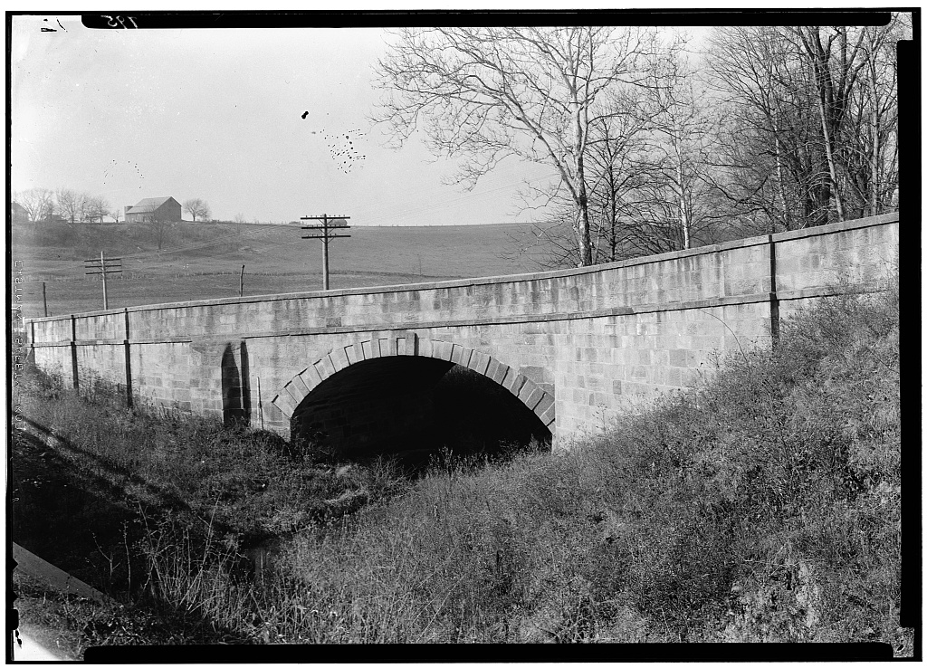
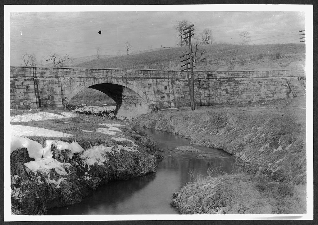
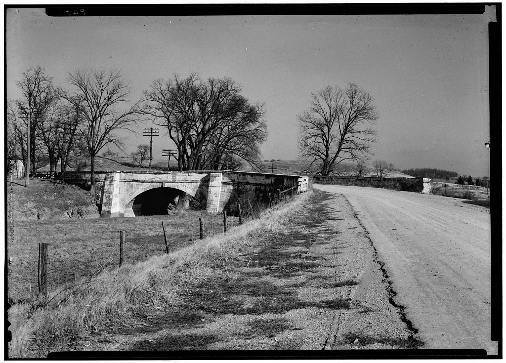
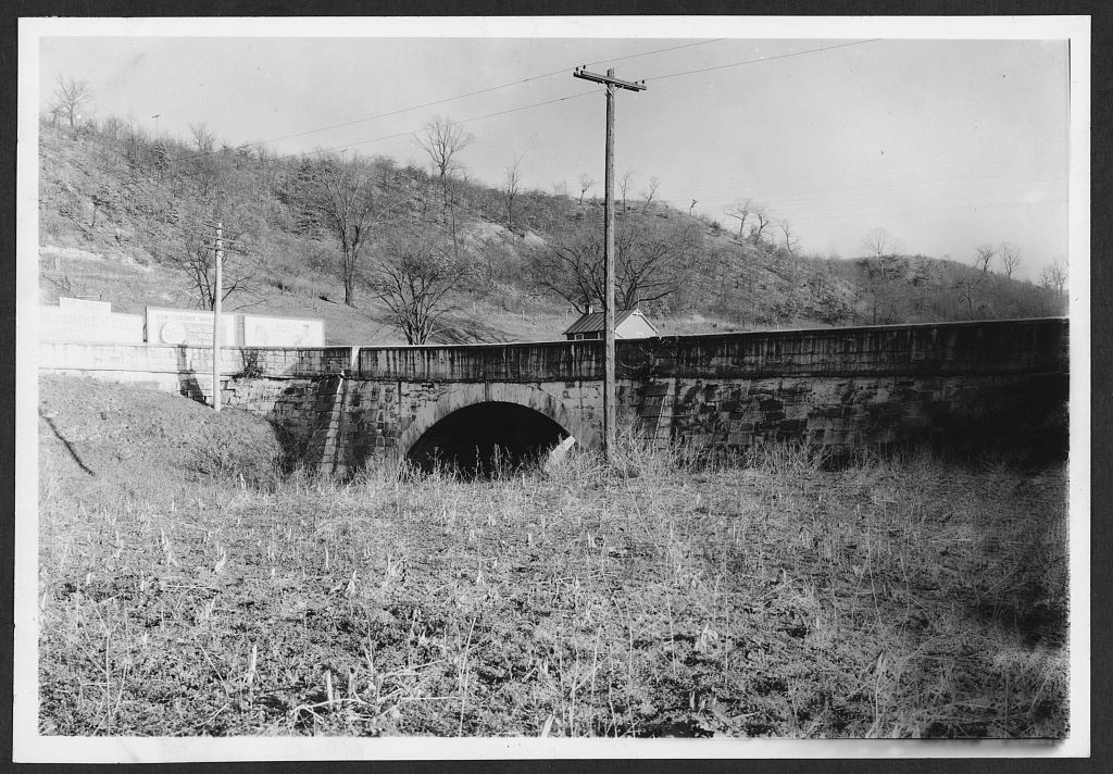
"S" Bridge, Carrying the National Road over Peters Creek, Cassell

"S" Bridge, Carrying the National Road over Peters Creek, Cassell, Guernsey County, OH. Surveyed as HAER OH-137, with a 80-word written history.

From the record

“"S" Bridge, Carrying the National Road over Peters Creek, Cassell, Guernsey County, OH”

Survey record header. Machine-read text.

surveyed by the federal HAER program as HAER OH-137 · the record runs 80 words · one of 5 surveyed structures published for this county.
Sources: the survey record at the Library of Congress

In context

Cassell, Ohio The place record: every map, photograph and survey of this town.
Guernsey County, Ohio 95 topographic sheets across the county.
Library of Congress record The original filed report as the survey filed it.

Also surveyed in Guernsey County

4 records

The federal survey recorded these other structures elsewhere in Guernsey County. These are the other structures they measured and filed a report on, longest report first.

SheetStructure SurveyReport
Bridge on Old National Road, photograph filed with the federal surveyBridge on Old National RoadHABS OHIO,30-CAMB.V,2-22 words
Bridge on Old National Road, photograph filed with the federal surveyBridge on Old National RoadHABS OHIO,30-CAMB.V,1-17 words
"S" Bridge, photograph filed with the federal survey"S" BridgeHABS OHIO,30-CAMB.V,3-17 words
Bridge, photograph filed with the federal surveyBridgeHABS OHIO,30-MIDBO.V,1-14 words

Provenance

  • Written history. Quoted verbatim from HAER OH-137. United States federal work, no copyright under 17 U.S.C. 105.
  • Text capture. Machine-read from the scanned typescript filed with the survey, so spelling and spacing follow the original page.
  • How this page is made. Documentary passages are quoted from linked records; page labels and counts are clearly marked as presentation or calculations.