 Block
Alpha, Tennessee
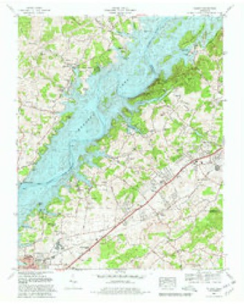
19 topographic sheets cover this place, the earliest surveyed in 1883 and the latest in 1981. It stands in District 11. It lies in ZIP code area 37814. It lies near Murrell Hill. The Survey maps it on the Talbott quadrangle. It stands 1,283 feet above sea level.
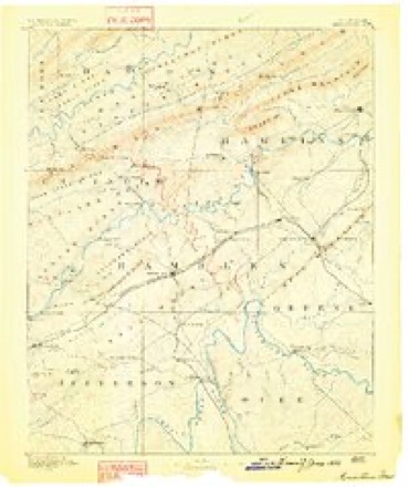
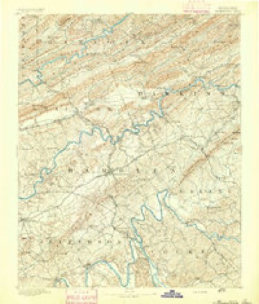
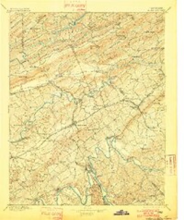
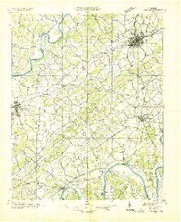
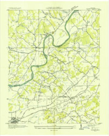
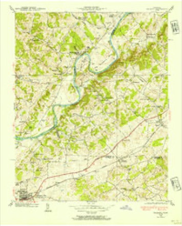
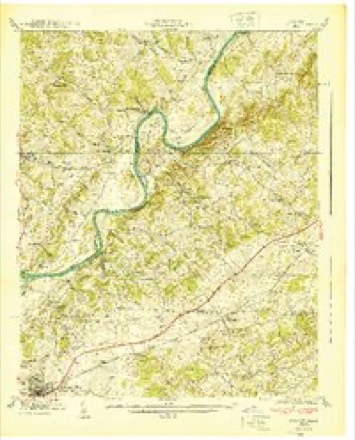
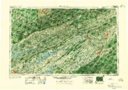
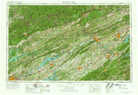
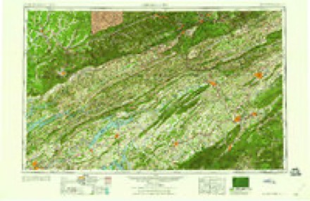
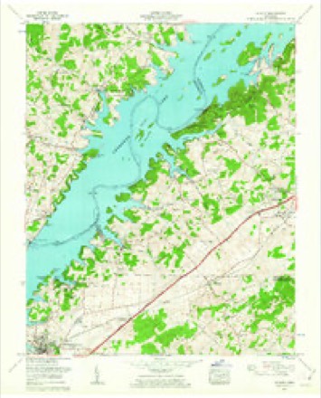
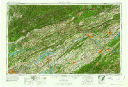
Topographic sheets covering this place
14 surveys from 19 printed sheetsMatched by testing this settlement's coordinate against the published boundary of every sheet in the United States Geological Survey's historical collection. Each opens the scanned sheet at the Survey.
- 1883 USGS Morristown quadrangle1:125000
- 1893 USGS Morristown quadrangle1:125000
- 1895 USGS Morristown quadrangle1:125000, 5 printings
- 1935 USGS Dandridge quadrangle1:48000
- 1935 USGS Talbott quadrangle1:24000
- 1938 USGS Talbott quadrangle1:24000
- 1940 USGS Talbott quadrangle1:24000
- 1955 USGS Johnson City quadrangle1:250000
- 1957 USGS Johnson City quadrangle1:250000
- 1960 USGS Johnson City quadrangle1:250000
- 1960 USGS Talbott quadrangle1:24000
- 1963 USGS Johnson City quadrangle1:250000
- 1980 USGS Talbott quadrangle1:24000, 2 printings
- 1981 USGS Morristown quadrangle1:100000
Fires near this place
17 since 2007Regional context, not property-specific evidence. The federal wildfire occurrence database lists 17 fires within 5 miles of Alpha between 2007 and 2017, burning about 94 acres in total. None started naturally. 4 were recorded as arson. Distance is straight-line from the map coordinates, so a fire counted here may appear on a neighbouring settlement's page as well.
| Reported cause | Fires |
|---|---|
| Debris and open burning | 7 |
| Arson/incendiarism | 4 |
| Missing data/not specified/undetermined | 4 |
| Smoking | 1 |
| Other causes | 1 |
The most recent of them, most recent first, with the day each was reported and the service that recorded it.
| Date | Cause | Size | Reported by | Name on the report |
|---|---|---|---|---|
| 21 September 2007 | Arson/incendiarism | under an acre | Tennessee Division of Forestry | SKEEN |
| 11 August 2007 | Missing data/not specified/undetermined | under an acre | Tennessee Division of Forestry | SAWDUST |
| 8 May 2007 | Arson/incendiarism | under an acre | Tennessee Division of Forestry | MOUNTAIN VIEW FIRE |
| 9 April 2007 | Debris and open burning | 8.4 acres | Tennessee Division of Forestry | CROCKETTS RIDGE FIRE |
| 23 April 2013 | Arson/incendiarism | 3.0 acres | Tennessee Division of Forestry | COFFEY RD FIRE |
| 19 April 2009 | Missing data/not specified/undetermined | 12 acres | Tennessee Division of Forestry | LAKE SHORE RD |
| 1 April 2014 | Debris and open burning | under an acre | Tennessee Division of Forestry | CENTRAL CHURCH ROAD FIRE |
| 5 March 2017 | Debris and open burning | 4.0 acres | Tennessee Division of Forestry | WOODWIND FIRE |
Settlements close enough to share some of these fires:
Mines and quarries near this place
10 within 5 milesRegional context, not property-specific evidence. The federal mineral resources record lists 10 workings within 5 miles of Alpha: 7 past producers, 2 prospects, 1 occurrence. None of them still produces. What was taken out: Iron, Manganese, Limestone, General, Stone, Crushed/Broken. Distance is straight-line from the map coordinates, so a quarry counted here may appear on a neighbouring settlement's page as well.
| Where | Site | Commodity | Status | Recorded |
|---|---|---|---|---|
| American Zinc Co. Prospects | Zinc | Occurrence | ||
| Rocktown Quarry | Limestone, General | Past Producer | Sedimentary | |
| Rocktown Quarry | Stone, Crushed/Broken | Past Producer | ||
| Williams Iron Bank | Iron, Sulfur-Pyrite | Past Producer | Limonite, Pyrite | |
| Williams Iron Bank | Sulfur | Past Producer | ||
| Ivy and Mays Prospect | Manganese | Prospect | 1951 | |
| Lotspiech Prospect | Manganese | Past Producer | 1918 | |
| Ridley Prospect | Manganese | Prospect | 1954 | |
| Williams Fe Bank | Iron | Past Producer | Residual | |
| Wilson and Corlew Pits | Iron | Past Producer |
Storms near this place
27 since 2007Regional context, not property-specific evidence. The National Weather Service names Alpha in 27 storm reports between 2007 and 2026: 21 thunderstorm wind, 3 hail, 1 tornado, 1 flood. The reports record 1 injury. Each account below is quoted exactly as the forecast office filed it, from the NOAA Storm Events Database, and each date opens the federal record of that event.
| When | Event | Place named | Harm | What the report says |
|---|---|---|---|---|
| July 2016 | Thunderstorm Wind | Alpha | 1 hurt | A tree was downed onto a car on Greenbriar Road. |
| February 2026 | Thunderstorm Wind | Alpha | $10,000 | An old barn was blown down by powerful thunderstorm wind gusts. |
| April 2011 | Tornado (EF0) | Alpha | $10,000 | An NWS employee reported an EF-0 tornado touched down near Panther State Park in Morristown. It had a path length of one third of a mile and a path width of 50 yards. The max wind speed of 70 mph downed several trees starting from the overlook at the north end of the park. |
| December 2025 | Thunderstorm Wind | Alpha | $5,000 | Security fencing blown down by strong thunderstorm wind gusts at the Avenue Church in Morristown. |
| September 2009 | Thunderstorm Wind | Alpha | $5,000 | Convective wind gusts removed the roofs of seven rental storage units in the western section of Morristown. |
| June 2013 | Thunderstorm Wind | Alpha | $2,000 | A NWS employee reported 1 tree downed by thunderstorm wind 4 miles northeast of Jefferson City on Tarr Road just across the county-line. |
| June 2025 | Flash Flood | Alpha | - | Numerous photos and videos from social media feeds that showed flooded homes and roadways in Alpha area of west Hamblen county. Some homes in the Seven Oaks subdivision had a foot of water in their basements, with similar impacts to nearby subdivisions off of Murrell Road. |
| May 2023 | Thunderstorm Wind | Alpha | - | A few trees were blown down by severe winds. |
| May 2023 | Thunderstorm Wind | Alpha | - | Several trees and additional large limbs blown down by strong winds in and near the Seven Oaks Subdivision. |
| July 2023 | Thunderstorm Wind | Alpha | - | Large oak tree snapped by severe thunderstorm winds. Tree diameter measured at roughly 18 inches. |
| August 2023 | Thunderstorm Wind | Alpha | - | A large tree was reported blown down by severe thunderstorm winds. |
| May 2021 | Thunderstorm Wind | Alpha | - | Several boats were damaged at Cedar Hill Marina on Cherokee Lake. |
| May 2021 | Thunderstorm Wind | Alpha | - | Trees were blown down and limbs broken in Panther Creek State Park. |
| May 2021 | Thunderstorm Wind | Alpha | - | Sustained winds were around 40 mph with the strongest gusts up to 60 mph. |
| March 2020 | Thunderstorm Wind | Alpha | - | Large tree branches were broken off. |
| March 2020 | Thunderstorm Wind | Alpha | - | In the Seven Oaks neighborhood in Alpha, some tree branches had fallen, at least two lawn chairs were blown around. Power outages occurred with the convective line in this area. |
| May 2020 | Thunderstorm Wind | Alpha | - | A few trees were reported down. |
| February 2019 | Flood | Alpha | - | Panther Creek Campground, Shelter, and overlook are inaccessible due to flooded roadways. |
| February 2017 | Thunderstorm Wind | Alpha | - | Several trees were blown down and a barn was damaged. |
| February 2017 | Thunderstorm Wind | Alpha | - | A few trees were reported down across the western part of Hamblen county. |
| May 2017 | Thunderstorm Wind | Alpha | - | A tree was reported down near Panther Creek Road and Seven Oaks Drive. |
| July 2016 | Thunderstorm Wind | Alpha | - | A 52 knot wind gust was recorded on a personal weather station. |
| June 2013 | Hail | Alpha | - | The public reported thunderstorms produced quarter-size hail 4 miles northeast of Jefferson City in Talbott. |
| September 2010 | Thunderstorm Wind | Alpha | - | Two trees were reported down near Panther Creek. |
| May 2009 | Hail | Alpha | - | Penny size hail was reported at the Weather Forecast Office. |
| July 2007 | Thunderstorm Wind | Alpha | - | One tree fell onto and damaged a home on Millrace Road. |
| May 2022 | Hail | Alpha | - | no account filed |
Nearest settlements
The eight closest, with where each one stands in the county. Distances are straight-line, computed from the Geographic Names Information System coordinates.
| Map | Place | Distance | Sheets |
|---|---|---|---|
| Wood Acres | 0.3 miles | 19 | |
| Willow Springs | 0.5 miles | 19 | |
| Smokerise | 0.5 miles | 19 | |
| Bluegrass | 0.6 miles | 19 | |
| Alpha Heights | 0.6 miles | 19 | |
| Panther Creek (historical) | 0.7 miles | 19 | |
| Melody Acres | 0.7 miles | 19 | |
| Panther Hills | 0.8 miles | 19 |
Elsewhere
Matched on this settlement's Geographic Names Information System number rather than its name, so it cannot be a different place of the same name in another state.
| Wikipedia article on Alpha | An encyclopaedic summary. Its text is share-alike, so it is linked here rather than copied. |
| Wikidata item Q4734870 | The structured record the population and elevation above come from. Public domain (CC0). |
Provenance
This settlement is recorded in the Geographic Names Information System as feature 1314259. The sheet list is computed by point-in-boundary test against the United States Geological Survey's historical topographic inventory. Both are works of the United States government and carry no copyright under 17 U.S.C. 105.
Wildfire. Short, Karen C. 2022. Spatial wildfire occurrence data for the United States, 1992-2020 [FPA_FOD_20221014]. 6th Edition. Fort Collins, CO: Forest Service Research Data Archive. https://doi.org/10.2737/RDS-2013-0009.6 Collected with United States Government funding and usable without additional permissions or fees.
Mines and quarries. USGS Mineral Resources Data System (MRDS) https://mrdata.usgs.gov/mrds/ A work of the United States government, no copyright under 17 U.S.C. 105.
Storms. NOAA National Centers for Environmental Information, Storm Events Database https://www.ncei.noaa.gov/stormevents/ A work of the United States government, no copyright under 17 U.S.C. 105. Narratives are quoted verbatim from the National Weather Service report and are not edited or summarised.