 Block
Benjestown, Tennessee
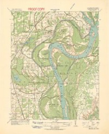
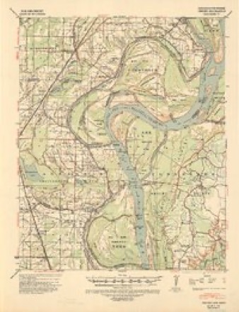
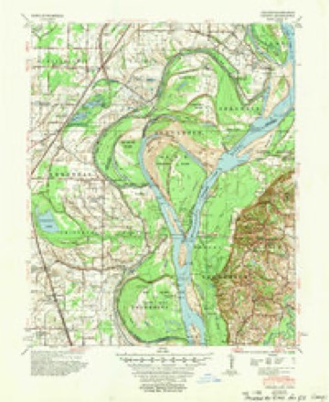
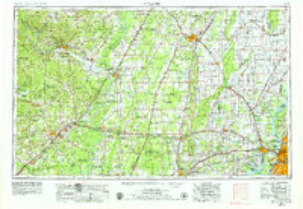
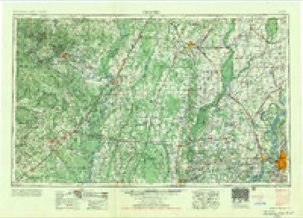
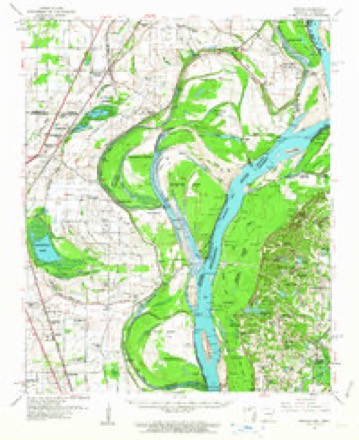
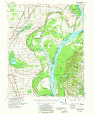
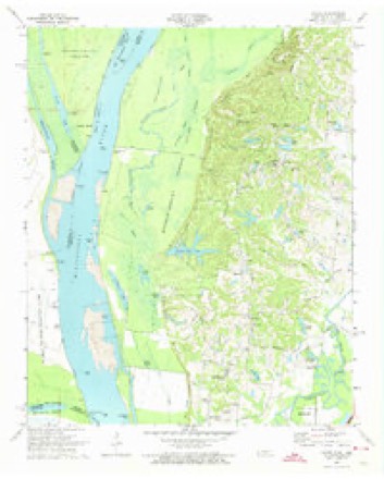
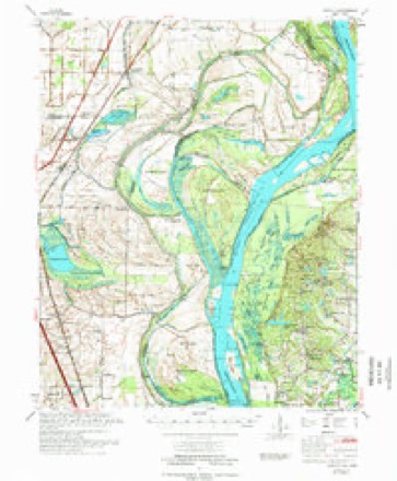
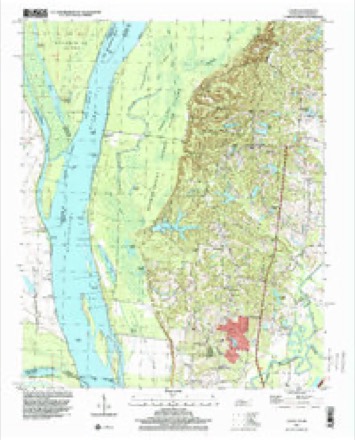
15 topographic sheets cover this place, the earliest surveyed in 1931 and the latest in 1997. It stands in District 1. It lies in ZIP code area 38127. It stands on Bear Creek. The Survey maps it on the Locke quadrangle.
Topographic sheets covering this place
11 surveys from 15 printed sheetsMatched by testing this settlement's coordinate against the published boundary of every sheet in the United States Geological Survey's historical collection. Each opens the scanned sheet at the Survey.
- 1931 USGS Jericho quadrangle1:62500
- 1939 USGS Jericho quadrangle1:62500
- 1952 USGS Jericho quadrangle1:62500
- 1953 USGS Memphis quadrangle1:250000, 3 printings
- 1956 USGS Memphis quadrangle1:250000
- 1961 USGS Jericho quadrangle1:62500
- 1962 USGS Jericho quadrangle1:62500
- 1970 USGS Locke quadrangle1:24000, 2 printings
- 1975 USGS Jericho quadrangle1:62500
- 1986 USGS Memphis West quadrangle1:100000, 2 printings
- 1997 USGS Locke quadrangle1:24000
Storms near this place
4 since 2008Regional context, not property-specific evidence. The National Weather Service names Benjestown in 4 storm reports between 2008 and 2025: 3 thunderstorm wind, 1 flash flood. The reports record 1 death. Each account below is quoted exactly as the forecast office filed it, from the NOAA Storm Events Database, and each date opens the federal record of that event.
| When | Event | Place named | Harm | What the report says |
|---|---|---|---|---|
| March 2008 | Flash Flood | Benjestown | 1 killed | A 7 year old boy drowned when he fell into a rain-swollen creek near Steamboat Bend in Northaven. |
| May 2025 | Thunderstorm Wind | Benjestown | $10,000 | Trees and power lines were knocked down on Benjestown Road. |
| July 2017 | Thunderstorm Wind | Benjestown | $1,000 | A large tree was down on Benjestown Road. |
| February 2011 | Thunderstorm Wind | Benjestown | - | Damaging straight line winds moved from Crittenden County across the Mississippi River into Shelby County. The damage path continued near Meeman-Shelby Forest State Park where power lines were knocked down. Power poles and several trees were knocked down in the Cornell Street and Frayser Boulevard area in Frayser. Trees and a metal shed were also damaged. A small plane was flipped over at the Charles W Baker Airport and a nearby Fire Department sustained some roof damage. Wind speeds in this area were estimated at 70 mph. The storm entered Millington at around 6:55 pm CST resulting in tree and shingle damaged across the city. Trees and power lines were snapped along Navy Road and Singleton Road on the naval base. A tree was knocked on to a mobile home in the Shady Oaks subdivision. Wind speeds in Millington were estimated at 85 to 95 mph. A tree was knocked on to a car near the intersection of Mudville Road and Rosemark Road east of Millington. Shingle and fence damage was also noted across Bartlett where wind speeds were estimated at 60 to 70 mph. Power lines were also knocked down and a street light was bent at Highway 64 and Highway 70. |
Nearest settlements
The eight closest, with where each one stands in the county. Distances are straight-line, computed from the Geographic Names Information System coordinates.
Elsewhere
Matched on this settlement's Geographic Names Information System number rather than its name, so it cannot be a different place of the same name in another state.
| Wikipedia article on Benjestown | An encyclopaedic summary. Its text is share-alike, so it is linked here rather than copied. |
| Wikidata item Q19600441 | The structured record the population and elevation above come from. Public domain (CC0). |
Provenance
This settlement is recorded in the Geographic Names Information System as feature 1305101. The sheet list is computed by point-in-boundary test against the United States Geological Survey's historical topographic inventory. Both are works of the United States government and carry no copyright under 17 U.S.C. 105.
Storms. NOAA National Centers for Environmental Information, Storm Events Database https://www.ncei.noaa.gov/stormevents/ A work of the United States government, no copyright under 17 U.S.C. 105. Narratives are quoted verbatim from the National Weather Service report and are not edited or summarised.