 Block
Binghampton, Tennessee
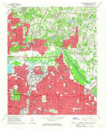
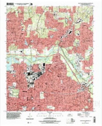
12 topographic sheets cover this place, the earliest surveyed in 1956 and the latest in 1997. It stands in District 7. It lies in ZIP code area 38112. It stands on Cumberland Bayou. The Survey maps it on the Northeast Memphis quadrangle.
On record in Binghampton
Buildings and businesses the archive holds for this place. Each opens its own page, with the source record it came from.
On the National Register within a mile 3 records
The National Register names another town for these. They stand within one mile of this settlement's coordinate.
- Rock of Ages Christian Methodist Episcopal Churchlisted 2017 · 0.4 miles away
- Hein Park Historic Districtlisted 1988 · 0.9 miles away
- National Trust Life Insurance Company Buildinglisted 2018 · 1.0 miles away
Topographic sheets covering this place
7 surveys from 12 printed sheetsMatched by testing this settlement's coordinate against the published boundary of every sheet in the United States Geological Survey's historical collection. Each opens the scanned sheet at the Survey.
- 1956 USGS Blytheville quadrangle1:250000, 2 printings
- 1959 USGS Blytheville quadrangle1:250000
- 1960 USGS Bartlett quadrangle1:62500
- 1961 USGS Bartlett quadrangle1:62500
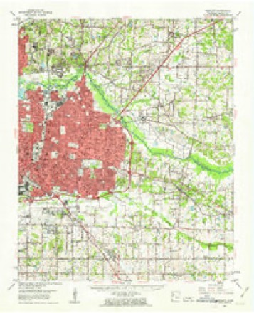
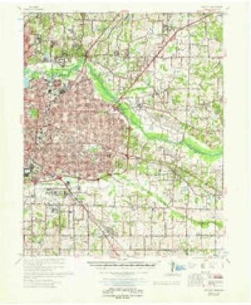
- 1965 USGS Northeast Memphis quadrangle1:24000, 4 printings
- 1986 USGS Memphis East quadrangle1:100000, 2 printings
- 1997 USGS Northeast Memphis quadrangle1:24000
Fires near this place
1 since 1999Regional context, not property-specific evidence. The federal wildfire occurrence database lists 1 fire within 5 miles of Binghampton in 1999, burning about 10 acres in total. None started naturally. None was recorded as arson. Distance is straight-line from the map coordinates, so a fire counted here may appear on a neighbouring settlement's page as well.
| Reported cause | Fires |
|---|---|
| Debris and open burning | 1 |
The most recent of them, most recent first, with the day each was reported and the service that recorded it.
| Date | Cause | Size | Reported by | Name on the report |
|---|---|---|---|---|
| 16 October 1999 | Debris and open burning | 10 acres | Tennessee Division of Forestry | not named |
Settlements close enough to share some of these fires:
Mines and quarries near this place
10 of 11 shownRegional context, not property-specific evidence. The federal mineral resources record lists 11 workings within 5 miles of Binghampton: 7 producers, 2 plants, 2 past producers. 9 still produce. What was taken out: Sand and Gravel, Construction, Lead, Aluminum. Distance is straight-line from the map coordinates, so a quarry counted here may appear on a neighbouring settlement's page as well.
| Where | Site | Commodity | Status | Recorded |
|---|---|---|---|---|
| (Facility) Excel Smelter/ Memphis, Tn. | Aluminum | Plant | ||
| Memphis Lead Co/ Memphis, Tn. | Lead | Plant | ||
| #2 Fryplant Dredge Operation | Sand and Gravel, Construction | Producer | Unconsolidated Sediments | |
| #2 Hollywood Plant | Sand and Gravel, Construction | Producer | 1967 | |
| Allen Materials, Inc. Pit | Sand and Gravel, Construction | Past Producer | ||
| Allen Materials, Inc. Plant Dredge Operation | Sand and Gravel, Construction | Producer | Unconsolidated Sediments | |
| Allen Mine | Sand and Gravel, Construction | Producer | ||
| Connie Dredge | Sand and Gravel, Construction | Past Producer | ||
| Mine No. 3 | Sand and Gravel, Construction | Producer | ||
| Number 2 Fry Plant | Sand and Gravel, Construction | Producer |
Nearest settlements
The eight closest, with where each one stands in the county. Distances are straight-line, computed from the Geographic Names Information System coordinates.
| Map | Place | Distance | Sheets |
|---|---|---|---|
| Aulon | 1.0 miles | 12 | |
| Morningside Park | 1.0 miles | 12 | |
| Chickasaw Gardens | 1.5 miles | 12 | |
| Hollywood | 1.7 miles | 12 | |
| Lenox | 2.0 miles | 12 | |
| Hedgemoor | 2.3 miles | 12 | |
| Stonewall Place | 2.4 miles | 18 | |
| Buntyn | 2.4 miles | 12 |
Provenance
This settlement is recorded in the Geographic Names Information System as feature 1313562. The sheet list is computed by point-in-boundary test against the United States Geological Survey's historical topographic inventory. Both are works of the United States government and carry no copyright under 17 U.S.C. 105.
Wildfire. Short, Karen C. 2022. Spatial wildfire occurrence data for the United States, 1992-2020 [FPA_FOD_20221014]. 6th Edition. Fort Collins, CO: Forest Service Research Data Archive. https://doi.org/10.2737/RDS-2013-0009.6 Collected with United States Government funding and usable without additional permissions or fees.
Mines and quarries. USGS Mineral Resources Data System (MRDS) https://mrdata.usgs.gov/mrds/ A work of the United States government, no copyright under 17 U.S.C. 105.