 Block
Box Elder, Tennessee
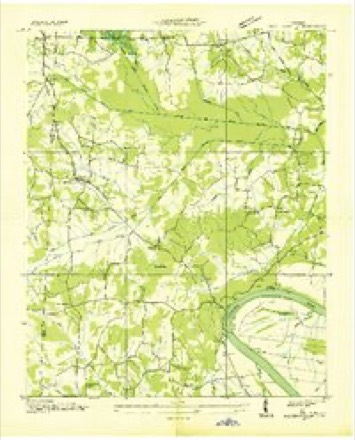
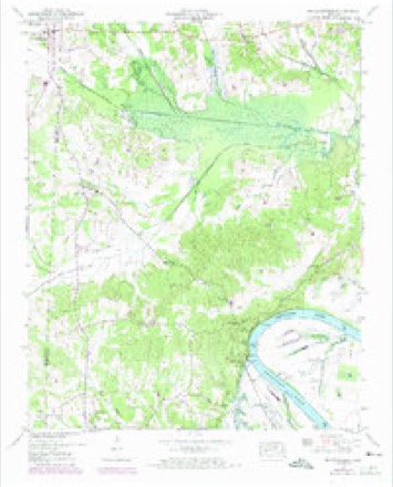
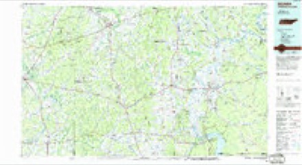
9 topographic sheets cover this place, the earliest surveyed in 1936 and the latest in 1986. It stands in District 5. It lies in ZIP code area 38310. It stands on Tyler Branch. The Survey maps it on the Milledgeville quadrangle.
Topographic sheets covering this place
5 surveys from 9 printed sheetsMatched by testing this settlement's coordinate against the published boundary of every sheet in the United States Geological Survey's historical collection. Each opens the scanned sheet at the Survey.
- 1936 USGS Milledgeville quadrangle1:24000
- 1949 USGS Milledgeville quadrangle1:24000, 2 printings
- 1956 USGS Blytheville quadrangle1:250000, 2 printings
- 1959 USGS Blytheville quadrangle1:250000
- 1986 USGS Selmer quadrangle1:100000, 3 printings
Fires near this place
120 since 1998Regional context, not property-specific evidence. The federal wildfire occurrence database lists 120 fires within 5 miles of Box Elder between 1998 and 2019, burning about 668 acres in total. None started naturally. 27 were recorded as arson. Distance is straight-line from the map coordinates, so a fire counted here may appear on a neighbouring settlement's page as well.
| Reported cause | Fires |
|---|---|
| Debris and open burning | 71 |
| Arson/incendiarism | 27 |
| Missing data/not specified/undetermined | 9 |
| Equipment and vehicle use | 5 |
| Misuse of fire by a minor | 4 |
| Power generation/transmission/distribution | 2 |
| Other causes | 1 |
| Recreation and ceremony | 1 |
The most recent of them, most recent first, with the day each was reported and the service that recorded it.
| Date | Cause | Size | Reported by | Name on the report |
|---|---|---|---|---|
| 9 September 1999 | Arson/incendiarism | 6.0 acres | Tennessee Division of Forestry | not named |
| 7 September 2009 | Arson/incendiarism | under an acre | Tennessee Division of Forestry | CRUMP DUMP |
| 4 September 2002 | Arson/incendiarism | 5.0 acres | Tennessee Division of Forestry | not named |
| 26 September 1999 | Arson/incendiarism | 4.0 acres | Tennessee Division of Forestry | not named |
| 20 September 2007 | Debris and open burning | 2.5 acres | Tennessee Division of Forestry | HARRIS ROAD FIRE |
| 17 September 2019 | Missing data/not specified/undetermined | under an acre | Tennessee Division of Forestry | STADIUM DR |
| 11 September 2007 | Power generation/transmission/distribution | 2.0 acres | Tennessee Division of Forestry | JOTEM DOWN POWERLINE |
| 8 August 2006 | Debris and open burning | 1.0 acres | Tennessee Division of Forestry | not named |
Settlements close enough to share some of these fires:
Mines and quarries near this place
9 within 5 milesRegional context, not property-specific evidence. The federal mineral resources record lists 9 workings within 5 miles of Box Elder: 5 producers, 2 occurrences, 1 past producer, 1 prospect. 5 still produce. What was taken out: Sand and Gravel, Construction, Iron, Clay. Distance is straight-line from the map coordinates, so a quarry counted here may appear on a neighbouring settlement's page as well.
| Where | Site | Commodity | Status | Recorded |
|---|---|---|---|---|
| North Savannah Prospect | Clay | Prospect | ||
| South Morris Chapel Prospect | Iron | Occurrence | ||
| Unnamed Prospect | Iron | Occurrence | ||
| #1 Taylor Pit | Sand and Gravel, Construction | Producer | Unconsolidated Sediments | |
| Crump Landing Plant | Sand and Gravel, Construction | Producer | ||
| Crump Landing Plant Dredge Operation | Sand and Gravel, Construction | Producer | Unconsolidated Sediments | |
| Number 1 Taylor Pit | Sand and Gravel, Construction | Past Producer | Sedimentary | |
| Number 1 Taylor Pit | Sand and Gravel, Construction | Producer | ||
| Savannah Plant Dredge Operation | Sand and Gravel, Construction | Producer | Unconsolidated Sediments |
Storms near this place
4 since 2008Regional context, not property-specific evidence. The National Weather Service names Box Elder in 4 storm reports between 2008 and 2023: 2 tornado, 1 hail, 1 flash flood. The reports record 3 deaths and 5 injuries. Each account below is quoted exactly as the forecast office filed it, from the NOAA Storm Events Database, and each date opens the federal record of that event.
| When | Event | Place named | Harm | What the report says |
|---|---|---|---|---|
| February 2008 | Tornado (EF4) | Box Elder | 3 killed, 5 hurt, $17,600,000 | The initial tornado touchdown occurred west of the Tennessee River near the intersection of Coffee Landing Road and Towboat Lane about 740 pm CST. The tornado then quickly raced northeast causing extensive damage to homes and trees just east of the Tennessee River in the Oak Grove, Cerro Gordo and Swift Communities. The tornado destroyed 59 houses, 11 mobile homes, 11 public buildings, a vacant store and 11 farm buildings. Another 117 structures received varying degrees of damage. Four of the 11 public buildings belonged to the Sharon Baptist Church. The church lost its sanctuary, preschool, academy and student center, off Cravens Road in the Oak Grove area. Two of the five injuries occurred at the church while two more injuries occurred in homes in the Oak Grove area. All three deaths occurred in mobile homes. Two of the deaths occurred in the Cerro Gordo area while the third fatality occurred in northeast Hardin County in the vicinity of Nance Bend Road and Highway 128. The tornado continued northeast before lifting near the intersection of Highway 114 and Highway 128 around 757 pm CST. The path length was about 16 miles and the maximum width was one half mile. The highest estimated winds were around 170 mph. Utility restoration costs were estimated at around $200,000. |
| March 2023 | Tornado (EF3) | Box Elder | $4,000,000 | This tornado weakened as it moved from McNairy into Hardin County, with damage to homes and trees along Highway 69, Old Union Road, Harris Road, and Glendale Road near Hookers Bend. One area of more intense damage was surveyed near Chalk Bluff along Glendale Road where a manufactured home was completely destroyed and an area of trees was slightly debarked. The tornado then approached New Harmony, crossing the bends in the Tennessee River three times. Numerous homes were damaged along Emerald Lane and in the area of Flat Bluff near Becky Road and Lion Lane. Additional damage was noted in the Crossroads area along Clifton and Hardin Creek Roads as the tornado moved into Wayne County. In total, nearly 150 structures were damaged in Hardin County between this tornado and the EF-2 that occurred a couple of hours earlier, 42 of which were total losses. Peak winds in Hardin County from this tornado were estimated at 145 mph. |
| March 2021 | Flash Flood | Box Elder | - | Glendale Road was flooded near Highway 69 just northwest of Savannah. Road was impassable. |
| April 2009 | Hail | Box Elder | - | Penny to golf ball size hail fell from Crump to just north of Savannah. |
Nearest settlements
The eight closest, with where each one stands in the county. Distances are straight-line, computed from the Geographic Names Information System coordinates.
| Map | Place | Distance | Sheets |
|---|---|---|---|
| Crump | 2.3 miles | 10 | |
| River Heights | 2.3 miles | 10 | |
| Woodland Heights | 3.6 miles | 10 | |
| Savannah | 3.8 miles | 10 | |
| New Town | 3.9 miles | 10 | |
| New Hope | 4.2 miles | 10 | |
| Oak Grove | 4.5 miles | 9 | |
| Sibley | 4.7 miles | 9 |
Provenance
This settlement is recorded in the Geographic Names Information System as feature 1307262. The sheet list is computed by point-in-boundary test against the United States Geological Survey's historical topographic inventory. Both are works of the United States government and carry no copyright under 17 U.S.C. 105.
Wildfire. Short, Karen C. 2022. Spatial wildfire occurrence data for the United States, 1992-2020 [FPA_FOD_20221014]. 6th Edition. Fort Collins, CO: Forest Service Research Data Archive. https://doi.org/10.2737/RDS-2013-0009.6 Collected with United States Government funding and usable without additional permissions or fees.
Mines and quarries. USGS Mineral Resources Data System (MRDS) https://mrdata.usgs.gov/mrds/ A work of the United States government, no copyright under 17 U.S.C. 105.
Storms. NOAA National Centers for Environmental Information, Storm Events Database https://www.ncei.noaa.gov/stormevents/ A work of the United States government, no copyright under 17 U.S.C. 105. Narratives are quoted verbatim from the National Weather Service report and are not edited or summarised.