 Block
Cassville, Tennessee
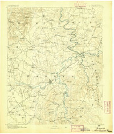
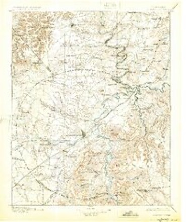
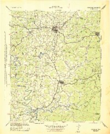
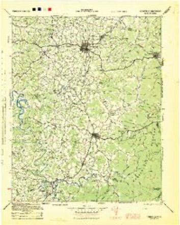
19 topographic sheets cover this place, the earliest surveyed in 1893 and the latest in 1981. It stands in District 6. It lies in ZIP code area 38583. It stands on Irvin Branch. The Survey maps it on the Cassville quadrangle.
Topographic sheets covering this place
11 surveys from 19 printed sheetsMatched by testing this settlement's coordinate against the published boundary of every sheet in the United States Geological Survey's historical collection. Each opens the scanned sheet at the Survey.
- 1893 USGS Mc Minnville quadrangle1:125000
- 1895 USGS Mc Minnville quadrangle1:125000, 5 printings
- 1943 USGS Cookeville quadrangle1:100000
- 1944 USGS Cookeville quadrangle1:100000
- 1953 USGS Chattanooga quadrangle1:250000
- 1957 USGS Chattanooga quadrangle1:250000, 3 printings
- 1959 USGS Chattanooga quadrangle1:250000
- 1960 USGS Cassville quadrangle1:24000, 3 printings
- 1960 USGS Chattanooga quadrangle1:250000
- 1964 USGS Chattanooga quadrangle1:250000
- 1981 USGS Mc Minnville quadrangle1:100000
Fires near this place
32 since 1999Regional context, not property-specific evidence. The federal wildfire occurrence database lists 32 fires within 5 miles of Cassville between 1999 and 2019, burning about 172 acres in total. None started naturally. 13 were recorded as arson. Distance is straight-line from the map coordinates, so a fire counted here may appear on a neighbouring settlement's page as well.
| Reported cause | Fires |
|---|---|
| Debris and open burning | 15 |
| Arson/incendiarism | 13 |
| Other causes | 3 |
| Equipment and vehicle use | 1 |
The most recent of them, most recent first, with the day each was reported and the service that recorded it.
| Date | Cause | Size | Reported by | Name on the report |
|---|---|---|---|---|
| 16 September 2010 | Other causes | 5.5 acres | Tennessee Division of Forestry | JOHN KIRBY LOOP |
| 7 July 2012 | Arson/incendiarism | 11 acres | Tennessee Division of Forestry | ARIEL LN |
| 24 June 2007 | Debris and open burning | 5.0 acres | Tennessee Division of Forestry | SMITHVILLE HWY |
| 5 April 2010 | Arson/incendiarism | 8.0 acres | Tennessee Division of Forestry | DAVE ENGLAND RD |
| 21 April 2014 | Equipment and vehicle use | 2.2 acres | Tennessee Division of Forestry | BLACKWELL FIE |
| 20 April 2002 | Debris and open burning | 1.4 acres | Tennessee Division of Forestry | not named |
| 16 April 2006 | Debris and open burning | under an acre | Tennessee Division of Forestry | not named |
| 1 April 2015 | Debris and open burning | under an acre | Tennessee Division of Forestry | CHAPEL LANE FIRE |
Settlements close enough to share some of these fires:
Mines and quarries near this place
3 within 5 milesRegional context, not property-specific evidence. The federal mineral resources record lists 3 workings within 5 miles of Cassville: 3 occurrences. None of them still produces. What was taken out: Uranium, Oil Shale. Distance is straight-line from the map coordinates, so a quarry counted here may appear on a neighbouring settlement's page as well.
| Where | Site | Commodity | Status | Recorded |
|---|---|---|---|---|
| Drill Hole For Uranium, Yb-1 | Uranium, Oil Shale | Occurrence | Shale | |
| Drill Hole For Uranium, Yb-37 | Uranium, Oil Shale | Occurrence | Shale | |
| Drill Hole For Uranium, Yb-38 | Uranium, Oil Shale | Occurrence | Shale |
Storms near this place
9 since 1999Regional context, not property-specific evidence. The National Weather Service names Cassville in 9 storm reports between 1999 and 2022: 5 thunderstorm wind, 2 hail, 2 tornado. No death or injury is recorded in these reports. Each account below is quoted exactly as the forecast office filed it, from the NOAA Storm Events Database, and each date opens the federal record of that event.
| When | Event | Place named | Harm | What the report says |
|---|---|---|---|---|
| March 2011 | Tornado (EF2) | Cassville | $350,000 | Damage began near the intersection of Indian Mound Road and Old Smithville Highway. Hundreds of trees were uprooted or snapped along a nearly continuous 9 mile path. Three homes had complete roof loss and a mobile home was completely destroyed with debris scattered over a large area. Around a dozen barns and outbuildings were destroyed. The last evidence of damage was just southwest of downtown Sparta on Iris Drive. Maximum wind speeds associated with this tornado were estimated to be around 115 mph. |
| February 2012 | Tornado (EF1) | Cassville | $200,000 | The EF1 tornado with maximum wind speeds around 95 mph moved out of DeKalb County into White County near Twilight Lane. A mobile home was damaged and a church steeple was blown off along Browntown Road near Wildcat Road, and two nearby outbuildings suffered roof damage. The roof of a barn was blown off southwest of the Browntown Road and Austin Road intersection, with debris blown for nearly one quarter mile across fields. A nearby home suffered minor roof damage. The tornado lifted just prior to reaching Austin Road. |
| July 2015 | Thunderstorm Wind | Cassville | $5,000 | A large garage door was blown off at Luna Motorsports on Marcum Road at Highway 70. |
| May 2022 | Thunderstorm Wind | Cassville | $3,000 | Trees were blown down near the Wil-Mar Market on Smithville Highway, and also on Old Smithville Highway North. |
| November 2017 | Thunderstorm Wind | Cassville | $3,000 | Trees were blown down and an outbuilding was damaged on Old Smithville Highway South near Cassville Elementary School. |
| July 2015 | Thunderstorm Wind | Cassville | $3,000 | Trees were blown down onto power lines and blocked Will Thompson Road. |
| May 2003 | Hail | Cassville | - | Spotter reported penny size hail. |
| July 2003 | Thunderstorm Wind | Cassville | - | Public reported a barn was partially damaged by strong thunderstorm winds. |
| June 1999 | Hail | Cassville | - | SKYWARN Spotter reported hail the size of quarters. |
Nearest settlements
The eight closest, with where each one stands in the county. Distances are straight-line, computed from the Geographic Names Information System coordinates.
| Map | Place | Distance | Sheets |
|---|---|---|---|
| Grace (historical) | 1.4 miles | 19 | |
| Old Zion | 2.3 miles | 19 | |
| Oliveville (historical) | 2.6 miles | 19 | |
| Elijah (historical) | 2.7 miles | 19 | |
| Peeled Chestnut | 2.9 miles | 20 | |
| Fanchers Mills | 3.1 miles | 19 | |
| Drop (historical) | 3.2 miles | 20 | |
| Shady Grove | 3.5 miles | 19 |
Provenance
This settlement is recorded in the Geographic Names Information System as feature 1279858. The sheet list is computed by point-in-boundary test against the United States Geological Survey's historical topographic inventory. Both are works of the United States government and carry no copyright under 17 U.S.C. 105.
Wildfire. Short, Karen C. 2022. Spatial wildfire occurrence data for the United States, 1992-2020 [FPA_FOD_20221014]. 6th Edition. Fort Collins, CO: Forest Service Research Data Archive. https://doi.org/10.2737/RDS-2013-0009.6 Collected with United States Government funding and usable without additional permissions or fees.
Mines and quarries. USGS Mineral Resources Data System (MRDS) https://mrdata.usgs.gov/mrds/ A work of the United States government, no copyright under 17 U.S.C. 105.
Storms. NOAA National Centers for Environmental Information, Storm Events Database https://www.ncei.noaa.gov/stormevents/ A work of the United States government, no copyright under 17 U.S.C. 105. Narratives are quoted verbatim from the National Weather Service report and are not edited or summarised.