 Block
Clifton, Tennessee
16 topographic sheets cover this place, the earliest surveyed in 1905 and the latest in 1985. It stands in District 2. It lies in ZIP code area 38425. It stands on Roach Creek. The Survey maps it on the Clifton quadrangle. 2,651 people lived here at the 2020 count. It stands 404 feet above sea level.
On record in Clifton
Buildings and businesses the archive holds for this place. Each opens its own page, with the source record it came from.
On the National Register 3 records
- First Presbyterian Church of Cliftonlisted 1988
- Hughes Houselisted 2020
- Water Street Historic Districtlisted 1992
Population over time
2 figuresClifton fell from 2,694 to 2,651 between 2010 and 2020. These are the recorded population figures Wikidata holds for this place, reached through the Geographic Names Information System number this page is keyed on rather than by name, so they belong to this place and not to another of the same name. Most are census counts, but not all are: an early figure may be a founding or settlement estimate, and an estimate published within five years of a census is left out. The change column is computed, and is left blank where more than 20 years separate a figure from the one before it, because a gap that long is not a change between two counts.
| Year | People | Change |
|---|---|---|
| 2010 | 2,694 | |
| 2020 | 2,651 | -43 (-2%) |
Topographic sheets covering this place
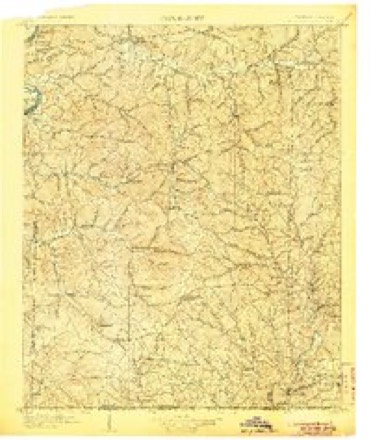
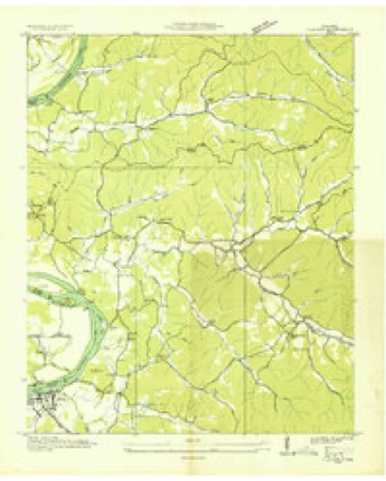
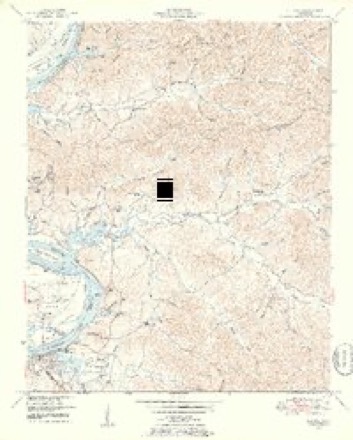
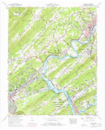
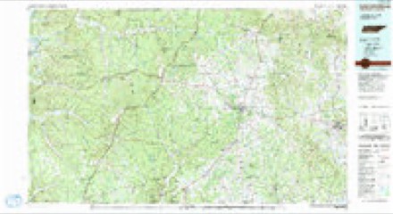
6 surveys from 16 printed sheetsMatched by testing this settlement's coordinate against the published boundary of every sheet in the United States Geological Survey's historical collection. Each opens the scanned sheet at the Survey.
- 1905 USGS Waynesboro quadrangle1:125000, 2 printings
- 1936 USGS Clifton quadrangle1:24000
- 1949 USGS Clifton quadrangle1:24000, 4 printings
- 1956 USGS Columbia quadrangle1:250000, 6 printings
- 1968 USGS Clifton quadrangle1:24000
- 1985 USGS Lawrenceburg quadrangle1:100000, 2 printings

Fires near this place
78 since 1998Regional context, not property-specific evidence. The federal wildfire occurrence database lists 78 fires within 5 miles of Clifton between 1998 and 2020, burning about 520 acres in total. 1 started naturally. 26 were recorded as arson. Distance is straight-line from the map coordinates, so a fire counted here may appear on a neighbouring settlement's page as well.
| Reported cause | Fires |
|---|---|
| Arson/incendiarism | 26 |
| Debris and open burning | 26 |
| Missing data/not specified/undetermined | 10 |
| Equipment and vehicle use | 10 |
| Smoking | 3 |
| Natural | 1 |
| Power generation/transmission/distribution | 1 |
| Recreation and ceremony | 1 |
The most recent of them, most recent first, with the day each was reported and the service that recorded it.
| Date | Cause | Size | Reported by | Name on the report |
|---|---|---|---|---|
| 4 September 1999 | Arson/incendiarism | under an acre | Tennessee Division of Forestry | not named |
| 4 September 1999 | Arson/incendiarism | 8.0 acres | Tennessee Division of Forestry | not named |
| 4 September 1999 | Arson/incendiarism | 1.0 acres | Tennessee Division of Forestry | not named |
| 4 September 1999 | Arson/incendiarism | 10 acres | Tennessee Division of Forestry | not named |
| 4 September 1999 | Arson/incendiarism | under an acre | Tennessee Division of Forestry | not named |
| 23 September 1999 | Equipment and vehicle use | 1.0 acres | Tennessee Division of Forestry | not named |
| 21 September 2010 | Debris and open burning | under an acre | Tennessee Division of Forestry | MORRISON CREEK |
| 24 August 2007 | Smoking | under an acre | Tennessee Division of Forestry | ROSS CREEK |
Settlements close enough to share some of these fires:
Mines and quarries near this place
5 within 5 milesRegional context, not property-specific evidence. The federal mineral resources record lists 5 workings within 5 miles of Clifton: 3 past producers, 2 producers. 2 still produce. What was taken out: Sand and Gravel, Construction, Stone, Dimension, Fire Clay (Refractory). Distance is straight-line from the map coordinates, so a quarry counted here may appear on a neighbouring settlement's page as well.
| Where | Site | Commodity | Status | Recorded |
|---|---|---|---|---|
| Fireclay Pit | Fire Clay (Refractory) | Past Producer | ||
| Millstone Quarry | Stone, Dimension | Past Producer | ||
| #1 Clifton Dredge Operation | Sand and Gravel, Construction | Producer | Unconsolidated Sediments | |
| Number 1 Clifton Mine | Sand and Gravel, Construction | Producer | ||
| The Josenhans Dredge | Sand and Gravel, Construction | Past Producer |
Storms near this place
18 since 1994Regional context, not property-specific evidence. The National Weather Service names Clifton in 18 storm reports between 1994 and 2023: 7 thunderstorm wind, 7 flash flood, 3 tornado, 1 hail. The reports record 3 deaths and 8 injuries. Each account below is quoted exactly as the forecast office filed it, from the NOAA Storm Events Database, and each date opens the federal record of that event.
| When | Event | Place named | Harm | What the report says |
|---|---|---|---|---|
| April 1998 | Tornado (F4) | Clifton | 3 killed, 6 hurt, $4,000,000 | The tornado killed 3 people in Wayne county. 2 females, their ages 75 and 57, were killed in a modular home on Lay Creek Rd. Another female, age 69, was killed on Chalk Creek Road in a wooden frame home. The tornado left nothing but the foundation. A lumber yard was destroyed. Many trees were down in the path of the tornado. Many houses and mobile homes were destroyed. 34 homes were completely destroyed, 14 homes had major damage and 22 had minor damage. . |
| March 2023 | Tornado (EF2) | Clifton | 2 hurt, $550,000 | This major, long track tornado began in National Weather Service Memphis's area as an EF3 tornado in Hardeman, McNairy, and Hardin counties before entering Wayne County as an EF2 tornado. The tornado entered National Weather Service Nashville's area about two miles south of Clifton and continued northeast, passing across Highway 641 near Tom Holt Road where several homes and outbuildings were heavily damaged and dozens of trees blown down. Further northeast, the tornado struck the Leatherwood community along Beech Creek Road where a few poorly constructed homes were leveled and others heavily damaged. One person was critically injured in this area and airlifted to the hospital, and another person was also injured. The tornado then crossed Highway 13 about six miles north of Waynesboro before moving through the Topsy and Ashland communities, snapping and uprooting hundred of more trees. This tornado then continued into Lewis County. Damages are estimated for Wayne County. |
| September 2009 | Flash Flood | Clifton | $30,000 | Major flooding occurred in low lying areas around Clifton. Several roads around Clifton became impassible, including Main Street and West Elm Street which were closed due to the flooding. Newspaper also reported that that the Hasti-Mart convenience store was flooded. The store suffered no major damage, only a clean up was needed of 3-4 inches of water that covered the floor. |
| August 2011 | Thunderstorm Wind | Clifton | $5,000 | Wayne County 911 Center reported trees and power lines blown down around Clifton. |
| November 1994 | Thunderstorm Wind | Clifton | $500 | A few trees were knocked down. |
| March 2020 | Flash Flood | Clifton | - | A couple of roads were flooded and closed between Waynesboro and Clifton. |
| February 2008 | Tornado (EF1) | Clifton | - | Several homes damaged. The tornado continued into Perry County. |
| March 2006 | Thunderstorm Wind | Clifton | - | A few trees were blow down. |
| November 2005 | Thunderstorm Wind | Clifton | - | Many large trees were blown down. |
| May 2004 | Thunderstorm Wind | Clifton | - | Emergency Manager reported trees and power lines were down in Clifton. Newspaper article said some homes were damaged. |
| October 2001 | Flash Flood | Clifton | - | Trained spotter reported flooding along Eagle Creek and at the intersection of 114 and highway 64. |
| October 2001 | Flash Flood | Clifton | - | A bridge was washed out on Jeeter Rd. |
| May 1999 | Thunderstorm Wind | Clifton | - | Trees and power lines were down. |
| May 1998 | Flash Flood | Clifton | - | Water over Highway 114. |
| May 1998 | Hail | Clifton | - | Clifton Police reported dime size hail. |
| July 1997 | Thunderstorm Wind | Clifton | - | A few trees were blown down. |
| June 1997 | Flash Flood | Clifton | - | Flooding was reported along Eagle Creek near Clifton. |
| June 1997 | Flash Flood | Clifton | - | Highway 114 was flooded. |
Nearest settlements
The eight closest, with where each one stands in the county. Distances are straight-line, computed from the Geographic Names Information System coordinates.
| Map | Place | Distance | Sheets |
|---|---|---|---|
| Carrollville (historical) | 1.0 miles | 16 | |
| Mooney | 5.6 miles | 16 | |
| Clifton Junction | 5.9 miles | 14 | |
| Leatherwood | 7.8 miles | 14 | |
| Sorby (historical) | 8.4 miles | 14 | |
| Houston | 10.9 miles | 13 | |
| Martins Mills | 13.0 miles | 13 | |
| Waynesboro | 13.2 miles | 13 |
Elsewhere
Matched on this settlement's Geographic Names Information System number rather than its name, so it cannot be a different place of the same name in another state.
| Wikipedia article on Clifton | An encyclopaedic summary. Its text is share-alike, so it is linked here rather than copied. |
| Wikidata item Q2240808 | The structured record the population and elevation above come from. Public domain (CC0). |
Provenance
This settlement is recorded in the Geographic Names Information System as feature 1305972. The sheet list is computed by point-in-boundary test against the United States Geological Survey's historical topographic inventory. Both are works of the United States government and carry no copyright under 17 U.S.C. 105.
Wildfire. Short, Karen C. 2022. Spatial wildfire occurrence data for the United States, 1992-2020 [FPA_FOD_20221014]. 6th Edition. Fort Collins, CO: Forest Service Research Data Archive. https://doi.org/10.2737/RDS-2013-0009.6 Collected with United States Government funding and usable without additional permissions or fees.
Mines and quarries. USGS Mineral Resources Data System (MRDS) https://mrdata.usgs.gov/mrds/ A work of the United States government, no copyright under 17 U.S.C. 105.
Storms. NOAA National Centers for Environmental Information, Storm Events Database https://www.ncei.noaa.gov/stormevents/ A work of the United States government, no copyright under 17 U.S.C. 105. Narratives are quoted verbatim from the National Weather Service report and are not edited or summarised.