 Block
Egypt, Tennessee
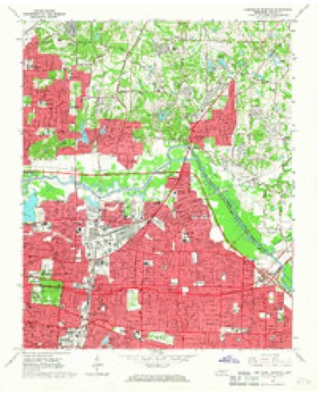
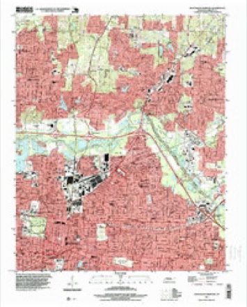
12 topographic sheets cover this place, the earliest surveyed in 1956 and the latest in 1997. It stands in District 6. It lies in ZIP code area 38128. The Survey maps it on the Northeast Memphis quadrangle.
Topographic sheets covering this place
7 surveys from 12 printed sheetsMatched by testing this settlement's coordinate against the published boundary of every sheet in the United States Geological Survey's historical collection. Each opens the scanned sheet at the Survey.
- 1956 USGS Blytheville quadrangle1:250000, 2 printings
- 1959 USGS Blytheville quadrangle1:250000
- 1960 USGS Bartlett quadrangle1:62500
- 1961 USGS Bartlett quadrangle1:62500
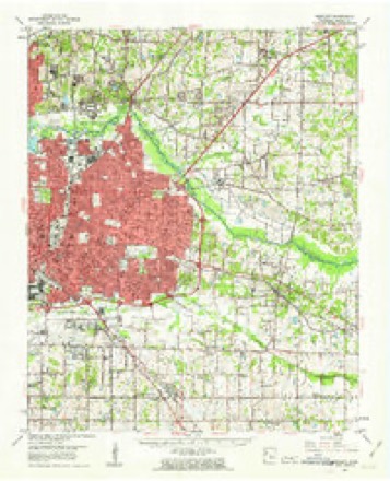
- 1965 USGS Northeast Memphis quadrangle1:24000, 4 printings
- 1986 USGS Memphis East quadrangle1:100000, 2 printings
- 1997 USGS Northeast Memphis quadrangle1:24000
Mines and quarries near this place
7 within 5 milesRegional context, not property-specific evidence. The federal mineral resources record lists 7 workings within 5 miles of Egypt: 3 producers, 3 past producers, 1 plant. 4 still produce. What was taken out: Sand and Gravel, Construction, Clay, Chromium, Silica, Manganese, Iron. Distance is straight-line from the map coordinates, so a quarry counted here may appear on a neighbouring settlement's page as well.
| Where | Site | Commodity | Status | Recorded |
|---|---|---|---|---|
| (Facility) Woodstock Smelter | Chromium, Silica, Manganese, Iron | Plant | ||
| Denies Pit | Clay | Past Producer | ||
| Standard Brick Co. Pit | Clay | Past Producer | ||
| #2 Fryplant Dredge Operation | Sand and Gravel, Construction | Producer | Unconsolidated Sediments | |
| Connie Dredge | Sand and Gravel, Construction | Past Producer | ||
| Number 2 Fry Plant | Sand and Gravel, Construction | Producer | ||
| Warford Pit | Sand and Gravel, Construction | Producer |
Storms near this place
2 since 2012Regional context, not property-specific evidence. The National Weather Service names Egypt in 2 storm reports between 2012 and 2024: 1 thunderstorm wind, 1 flash flood. No death or injury is recorded in these reports. Each account below is quoted exactly as the forecast office filed it, from the NOAA Storm Events Database, and each date opens the federal record of that event.
| When | Event | Place named | Harm | What the report says |
|---|---|---|---|---|
| December 2024 | Flash Flood | Egypt | - | A few vehicles disabled due to flood waters. |
| June 2012 | Thunderstorm Wind | Egypt | - | Straight line winds knocked down numerous trees and power lines across Shelby County. Several roads were blocked. The dugout roof of the Bartlett Baptist Church ball field was blown about 40 feet. The traffic signal was knocked down at the intersection of Danny Thomas and Washington. A very large oak tree was knocked on to a house about one half mile south of the Memphis Botanic Gardens. Two neighboring homes also suffered moderate damage. |
Nearest settlements
The eight closest, with where each one stands in the county. Distances are straight-line, computed from the Geographic Names Information System coordinates.
| Map | Place | Distance | Sheets |
|---|---|---|---|
| Raleigh | 2.6 miles | 12 | |
| Spring Lake | 2.9 miles | 12 | |
| Prosperity | 3.1 miles | 11 | |
| Woodstock | 3.7 miles | 12 | |
| Overton | 3.7 miles | 12 | |
| Bartlett | 3.8 miles | 12 | |
| Lucy | 3.9 miles | 12 | |
| Cedar Grove (historical) | 4.1 miles | 12 |
Provenance
This settlement is recorded in the Geographic Names Information System as feature 1283571. The sheet list is computed by point-in-boundary test against the United States Geological Survey's historical topographic inventory. Both are works of the United States government and carry no copyright under 17 U.S.C. 105.
Mines and quarries. USGS Mineral Resources Data System (MRDS) https://mrdata.usgs.gov/mrds/ A work of the United States government, no copyright under 17 U.S.C. 105.
Storms. NOAA National Centers for Environmental Information, Storm Events Database https://www.ncei.noaa.gov/stormevents/ A work of the United States government, no copyright under 17 U.S.C. 105. Narratives are quoted verbatim from the National Weather Service report and are not edited or summarised.