 Block
Green Hill, Tennessee
18 topographic sheets cover this place, the earliest surveyed in 1903 and the latest in 1997. It stands in District 8. It lies in ZIP code area 37122. It stands on Schutes Branch. The Survey maps it on the Hermitage quadrangle. 6,518 people lived here at the 2020 count. It stands 646 feet above sea level.
Population over time
2 figuresGreen Hill fell from 6,618 to 6,518 between 2010 and 2020. These are the recorded population figures Wikidata holds for this place, reached through the Geographic Names Information System number this page is keyed on rather than by name, so they belong to this place and not to another of the same name. Most are census counts, but not all are: an early figure may be a founding or settlement estimate, and an estimate published within five years of a census is left out. The change column is computed, and is left blank where more than 20 years separate a figure from the one before it, because a gap that long is not a change between two counts.
| Year | People | Change |
|---|---|---|
| 2010 | 6,618 | |
| 2020 | 6,518 | -100 (-2%) |
Topographic sheets covering this place
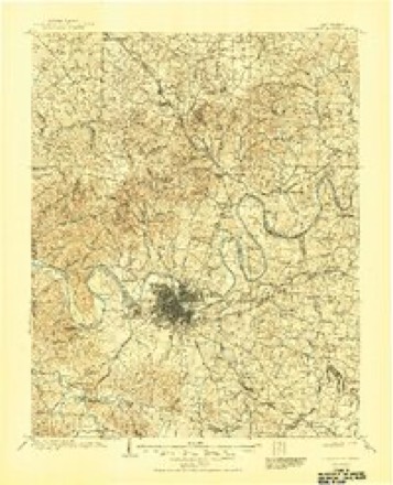
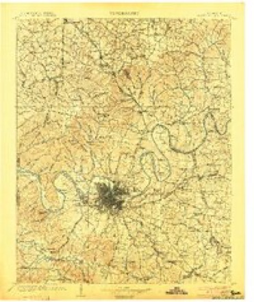
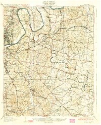
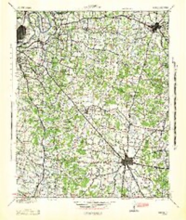
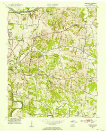
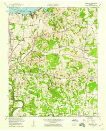
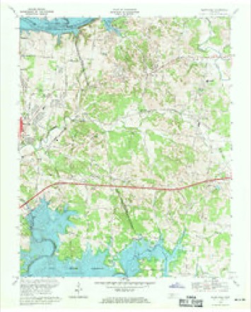
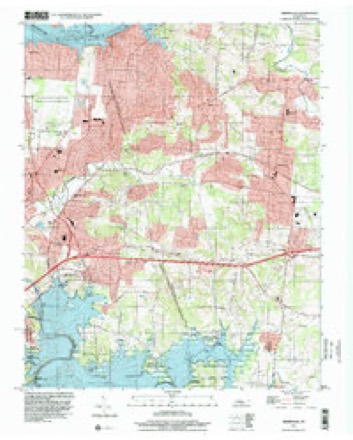
11 surveys from 18 printed sheetsMatched by testing this settlement's coordinate against the published boundary of every sheet in the United States Geological Survey's historical collection. Each opens the scanned sheet at the Survey.
- 1903 USGS Greenbrier quadrangle1:125000, 2 printings
- 1903 USGS Nashville quadrangle1:125000, 2 printings
- 1932 USGS Hermitage quadrangle1:62500, 3 printings
- 1942 USGS Lebanon quadrangle1:100000
- 1952 USGS Hermitage quadrangle1:24000
- 1956 USGS Nashville quadrangle1:250000, 2 printings
- 1957 USGS Hermitage quadrangle1:24000
- 1959 USGS Nashville quadrangle1:250000
- 1968 USGS Hermitage quadrangle1:24000, 3 printings
- 1984 USGS Nashville quadrangle1:100000
- 1997 USGS Hermitage quadrangle1:24000



Fires near this place
3 since 1998Regional context, not property-specific evidence. The federal wildfire occurrence database lists 3 fires within 5 miles of Green Hill between 1998 and 2001, burning about 18 acres in total. None started naturally. None was recorded as arson. Distance is straight-line from the map coordinates, so a fire counted here may appear on a neighbouring settlement's page as well.
| Reported cause | Fires |
|---|---|
| Debris and open burning | 2 |
| Missing data/not specified/undetermined | 1 |
The most recent of them, most recent first, with the day each was reported and the service that recorded it.
| Date | Cause | Size | Reported by | Name on the report |
|---|---|---|---|---|
| 9 April 2001 | Debris and open burning | 1.5 acres | Tennessee Division of Forestry | not named |
| 2 December 1998 | Missing data/not specified/undetermined | 15 acres | Tennessee Division of Forestry | not named |
| 11 December 2000 | Debris and open burning | 1.0 acres | Tennessee Division of Forestry | not named |
Settlements close enough to share some of these fires:
Mines and quarries near this place
2 within 5 milesRegional context, not property-specific evidence. The federal mineral resources record lists 2 workings within 5 miles of Green Hill: 2 producers. All of them still produce. What was taken out: Stone, Crushed/Broken, Limestone, General, Stone, Crushed/Broken. Distance is straight-line from the map coordinates, so a quarry counted here may appear on a neighbouring settlement's page as well.
| Where | Site | Commodity | Status | Recorded |
|---|---|---|---|---|
| Hermitage Plant #506 | Stone, Crushed/Broken, Limestone, General | Producer | Limestone | |
| Hermitage Quarry | Stone, Crushed/Broken | Producer |
Storms near this place
31 since 1998Regional context, not property-specific evidence. The National Weather Service names Green Hill in 31 storm reports between 1998 and 2024: 20 thunderstorm wind, 5 tornado, 3 flash flood, 2 flood. The reports record 1 injury. Each account below is quoted exactly as the forecast office filed it, from the NOAA Storm Events Database, and each date opens the federal record of that event.
| When | Event | Place named | Harm | What the report says |
|---|---|---|---|---|
| December 2021 | Tornado (EF1) | Green Hill | 1 hurt, $1,000,000 | This EF-1 tornado touched down on the east side of Percy Priest Lake near Cooks Landing Court and Stewarts Ferry Pike in Davidson County, and moved north-northeast generally along New Hope Road. Many trees were uprooted with EF-0 roof and siding damage to several homes in Davidson County. The tornado strengthened to EF-1 and turned more northeastward as it crossed into Wilson County, causing minor to moderate damage to numerous homes in the Cobblestone Landing and Eagle Trace subdivisions. One home on Partridge Drive suffered severe damage with the garage and east side of the house being blown out. Further to the northeast, dozens of trees were uprooted along Old Lebanon Dirt Road and Division Street, and a fire station and Mount Juliet Elementary School suffered minor roof damage. The most significant damage occurred in the Willoughby Station subdivision as dozens of homes between Melbourne Terrace and Greenhill Road received minor to moderate roof and exterior damage, and one person was injured by flying glass. The tornado weakened as it continued northeast, but continued to blown down trees and cause EF-0 damage to homes in the Vernon Hills subdivision and along Wilson Drive and Tate Lane. The tornado apparently lifted after crossing Lebanon Road west of Mount Juliet Road. Wilson County Emergency Management reported a total of 163 homes were damaged in Wilson County. Total path length of this tornado was 7.67 miles. |
| August 2010 | Flood | Green Hill | $5,000,000 | Two feet of standing water occurred between Newby Street and East Spring Street, and also on South Cumberland Street, for a brief period during the morning hours of Thursday, August 19th, resulting from flooding along Sinking Creek. Stoner Creek, one mile west of Mt. Juliet, went over bank full and resulted in flooding. Several water rescues, per water rising in their yards blocking them in their homes, were also required in Mt. Juliet. ||Newspapers reported that the railroad track that carries a commuter train, the Music City Star, between Nashville an Lebanon had been washed out between Mt. Juliet and Lebanon. Several business, along with public buildings, in Mt. Juliet experienced flood damage, including David Deaton Karate Studio in the Valley Center on North Mt. Juliet Road and a Fire and Rescue station which is primarily used to houses ambulances behind Mt. Juliet City Hall. Extent of damage to these business were unkown. Floodwaters also covered little league baseball and football fields and also knocked over the new fencing around Charlie Daniels Football Field in Mt. Juliet. Heavy rains closed the Wilson County Fair, the largest fair in Tennessee, for the first time in its 157 year history, for Wednesday night, August 18th.||All of this damage was the result of four inches, to as much as one foot in some locations, of rainfall across areas mainly along and north of Interstate 40. |
| April 1998 | Tornado (F2) | Green Hill | $3,000,000 | This tornado travelled just south of Lebanon Pike and did damage to homes and businesses in West Lebanon. The TRW plant received some damage on HWY 70 Bypass. Trees were uprooted and homes sustained roof damage. There was extensive agricultural losses. Approximately $60,000 worth of fencing was destroyed or damaged. 20 hogs were killed. Farmers lost 26 outbuildings, and 21 vehicles were damaged. |
| January 2013 | Tornado (EF2) | Green Hill | $1,000,000 | National Weather Service Nashville personnel and Wilson County Emergency Management confirmed an EF2 tornado touched down in Mount Juliet on Glenwood Drive, then moved east-northeast through the city before lifting near Cooks Church Road. The heaviest damage occurred in a commercial district around Lebanon Road and Mount Juliet Road, where a Dollar General store and an automotive warehouse were heavily damaged. A distribution warehouse for the Tennessean newspaper on Lineberry Boulevard was nearly completely destroyed, and the roof, third story, and several walls of an adjacent three-story building were blown off. Dozens of other businesses in the area received minor to moderate structural damage and debris impacts from nearby damaged buildings. Significant damage to outbuildings, fences, and power poles also occurred at the Mount Juilet Ballpark. Dozens of trees and power lines were blown down and many homes received minor damage along the path. |
| April 1998 | Tornado (F2) | Green Hill | $1,000,000 | This tornado was the same one that struck downtown Nashville. The tornado was seen moving from west to east about a mile south of the NWS office. The tornado caused many trees to be uprooted, power lines were knocked down, signs damaged or blown down, and there was roof damage to homes. The Mt. Juliet Little League field was littered with aluminum and lumber blown from Marvin's Lumber Yard. Part of a roof was taken off First Bank in Mt. Juliet. The tornado continued into southern Trousdale county. |
| February 2019 | Flash Flood | Green Hill | $250,000 | Wilson County Emergency Management reported continued widespread flash flooding across much of Wilson County, including the Mount Juliet and Lebanon areas. Roads that were flooded and closed in Mount Juliet included Woodridge Place near Golden Bear Gateway, West Division Street near Mt. Juliet Elementary School, Old Lebanon Dirt Road near Page Drive, Cedar Drive, and York Road near Lebanon Road. In Lebanon, Highway 231 was flooded with one vehicle stranded requiring a water rescue. Several streets in downtown Lebanon were also flooded including Highway 231 and West Spring Street, and flood waters entered several downtown businesses. |
| July 2015 | Tornado (EF0) | Green Hill | $25,000 | An EF0 tornado touched down briefly in the Langford Farms subdivision of Green Hill and moved northeast across Peach Orchard Drive, Kensington Drive, Brownleaf Drive, and Wayside Drive. Several homes suffered minor roof and siding damage, and scattered trees were blown down. Max winds were estimated to be 80 mph. |
| February 2009 | Thunderstorm Wind | Green Hill | $25,000 | Trees down on Green Hills Road and across other portions of the county. |
| December 2016 | Thunderstorm Wind | Green Hill | $10,000 | A tree fell on a vehicle at 337 Vanderbilt Road in Mount Juliet. |
| April 2016 | Thunderstorm Wind | Green Hill | $3,000 | A Facebook report indicated trees were blown down in the Windtree Trace subdivision. |
| May 2016 | Thunderstorm Wind | Green Hill | $3,000 | Mount Juliet Police Department reported trees were blown down at West Division Street and South Greenhill Road. |
| June 2016 | Thunderstorm Wind | Green Hill | $3,000 | A tSpotter Twitter report indicated several large trees down on Grandview Circle near Lebanon Road in Mount Juliet. |
| June 2016 | Thunderstorm Wind | Green Hill | $3,000 | A tree was split in two along Big Horn Drive, numerous branches were blown down along Saundersville Road, and a flagpole was bent to the ground on Matterhorn Drive in the Green Hill area. |
| July 2017 | Thunderstorm Wind | Green Hill | $2,000 | A tree and a power line were blown down on Dunedin Drive at Dunn Court. |
| April 2016 | Thunderstorm Wind | Green Hill | $2,000 | A #tSpotter Twitter report indicated a tree and power line were blown down in the 500 block of Summit Way. |
| June 2024 | Thunderstorm Wind | Green Hill | $1,000 | A Facebook user reported a snapped tree on Garland Drive. Damages are a rough estimate. |
| July 2023 | Thunderstorm Wind | Green Hill | $1,000 | Severe thunderstorm winds snapped a large tree in half at a home near North Greenhill Road and Needmore Road in Mount Juliet. Damages are a rough estimate. |
| December 2018 | Thunderstorm Wind | Green Hill | $1,000 | A tree was blown down at North Greenhill Road and Vanderbilt Road. |
| June 2018 | Thunderstorm Wind | Green Hill | $1,000 | A tree was blown down that blocked the entire roadway in the 500 block of Glen Echo Drive. |
| June 2016 | Thunderstorm Wind | Green Hill | $1,000 | Tree down on South Greenhill Road partially blocking the road. |
| June 2016 | Thunderstorm Wind | Green Hill | $1,000 | Large maple tree down at Woodlawn Drive. |
| June 2016 | Thunderstorm Wind | Green Hill | $1,000 | Tree blown down blocking the road at 3000 West Division Street. |
| September 2016 | Thunderstorm Wind | Green Hill | $1,000 | Power lines were blown down onto the roadway at Brisbane Drive and Port Kembla in Mount Juliet. |
| December 2016 | Thunderstorm Wind | Green Hill | $1,000 | Tree blocking the roadway at Grandview Drive and Indian Lake in Green Hill. |
| July 2016 | Thunderstorm Wind | Green Hill | $1,000 | A tree was blown down at Needmore Road and Greenhill Road. |
| July 2014 | Thunderstorm Wind | Green Hill | $1,000 | A tree was reported down at the intersection of Greenhill Road and Windtree Trace blocking the intersection. |
| July 2014 | Lightning | Green Hill | $1,000 | A barn was struck by lightning on Magnolia Estates Blvd in Mount Juliet. Only minor damage reported. |
| July 2012 | Flash Flood | Green Hill | $1,000 | Flooding was reported in the Green Hills and Old Hickory areas of the county. |
| June 2011 | Thunderstorm Wind | Green Hill | $1,000 | A large tree limb was blown down blocking Tulip Grove Road in Hermitage. |
| February 2019 | Flash Flood | Green Hill | - | Wilson County Emergency Management reported continued flash flooding across Wilson County, including the Mount Juliet and Lebanon areas. Roads that were still flooded and closed in Mount Juliet included Woodridge Place near Golden Bear Gateway, West Division Street near Mt. Juliet Elementary School, Old Lebanon Dirt Road near Page Drive, and York Road near Lebanon Road. The Music City Star commuter train was forced to cancel service due to flooding of railroad tracks near Cairo Bend Road at Highway 70 west of Lebanon. |
| August 2016 | Flood | Green Hill | - | TSpotter Twitter reports indicated high water and yards flooded around homes on East Shady Trail at Lakeshore Drive as well as on Needmore Road. |
Nearest settlements
The eight closest, with where each one stands in the county. Distances are straight-line, computed from the Geographic Names Information System coordinates.
| Map | Place | Distance | Sheets |
|---|---|---|---|
| Georgemere | 0.4 miles | 18 | |
| Highland Heights | 0.8 miles | 18 | |
| Hunters Store | 1.1 miles | 18 | |
| Springmont | 1.3 miles | 18 | |
| Caravelle | 1.4 miles | 18 | |
| Indian Lake Farms | 1.5 miles | 18 | |
| Hillview | 1.5 miles | 18 | |
| Tate (historical) | 1.5 miles | 18 |
Elsewhere
Matched on this settlement's Geographic Names Information System number rather than its name, so it cannot be a different place of the same name in another state.
| Wikipedia article on Green Hill | An encyclopaedic summary. Its text is share-alike, so it is linked here rather than copied. |
| Wikidata item Q3314551 | The structured record the population and elevation above come from. Public domain (CC0). |
Provenance
This settlement is recorded in the Geographic Names Information System as feature 1286093. The sheet list is computed by point-in-boundary test against the United States Geological Survey's historical topographic inventory. Both are works of the United States government and carry no copyright under 17 U.S.C. 105.
Wildfire. Short, Karen C. 2022. Spatial wildfire occurrence data for the United States, 1992-2020 [FPA_FOD_20221014]. 6th Edition. Fort Collins, CO: Forest Service Research Data Archive. https://doi.org/10.2737/RDS-2013-0009.6 Collected with United States Government funding and usable without additional permissions or fees.
Mines and quarries. USGS Mineral Resources Data System (MRDS) https://mrdata.usgs.gov/mrds/ A work of the United States government, no copyright under 17 U.S.C. 105.
Storms. NOAA National Centers for Environmental Information, Storm Events Database https://www.ncei.noaa.gov/stormevents/ A work of the United States government, no copyright under 17 U.S.C. 105. Narratives are quoted verbatim from the National Weather Service report and are not edited or summarised.