 Block
Mudsink, Tennessee
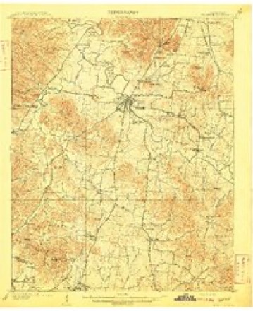
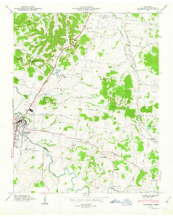
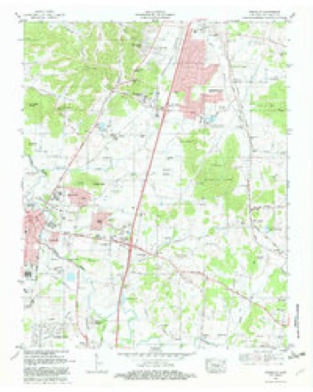
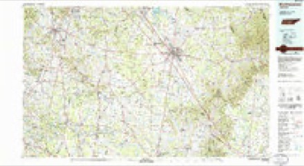
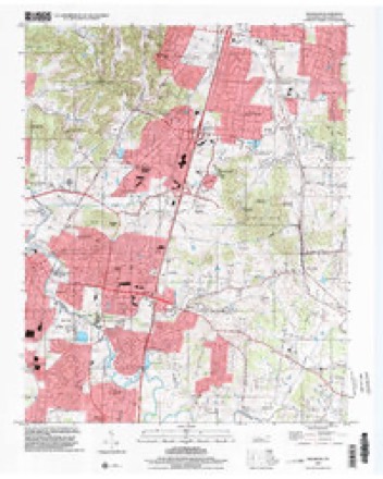
15 topographic sheets cover this place, the earliest surveyed in 1909 and the latest in 1997. It stands in District 12. It lies in ZIP code area 37067. It stands on Curd Branch. The Survey maps it on the Franklin quadrangle.
Topographic sheets covering this place
6 surveys from 15 printed sheetsMatched by testing this settlement's coordinate against the published boundary of every sheet in the United States Geological Survey's historical collection. Each opens the scanned sheet at the Survey.
- 1909 USGS Franklin quadrangle1:62500, 2 printings
- 1949 USGS Franklin quadrangle1:24000, 3 printings
- 1956 USGS Columbia quadrangle1:250000, 6 printings
- 1981 USGS Franklin quadrangle1:24000, 2 printings
- 1985 USGS Murfreesboro quadrangle1:100000
- 1997 USGS Franklin quadrangle1:24000

Mines and quarries near this place
10 of 52 shownRegional context, not property-specific evidence. The federal mineral resources record lists 52 workings within 5 miles of Mudsink: 28 past producers, 12 unknowns, 10 producers, 2 prospects. 10 still produce. What was taken out: Phosphorus-Phosphates, Stone, Crushed/Broken, Stone, Crushed/Broken, Limestone, General. Distance is straight-line from the map coordinates, so a quarry counted here may appear on a neighbouring settlement's page as well.
| Where | Site | Commodity | Status | Recorded |
|---|---|---|---|---|
| Franklin Plant | Stone, Crushed/Broken, Limestone, General | Producer | Limestone | |
| Williamson County Highway Department Quarry | Stone, Crushed/Broken, Limestone, General | Producer | Limestone | |
| Franklin Pit & Plant | Stone, Crushed/Broken | Past Producer | ||
| Franklin Quarry | Stone, Crushed/Broken | Producer | ||
| Globe Quarry | Stone, Crushed/Broken | Producer | ||
| Amos | Phosphorus-Phosphates | Producer | 1920 | |
| Anthony Pit | Phosphorus-Phosphates | Past Producer | ||
| Anthony Pit | Phosphorus-Phosphates | Past Producer | ||
| Battlefield Pit | Phosphorus-Phosphates | Producer | ||
| Dallas | Phosphorus-Phosphates | Prospect | 1920 |
Storms near this place
34 since 2009Regional context, not property-specific evidence. The National Weather Service names Mudsink in 34 storm reports between 2009 and 2025: 20 thunderstorm wind, 9 hail, 3 flash flood, 1 funnel cloud. The reports record 1 death. Each account below is quoted exactly as the forecast office filed it, from the NOAA Storm Events Database, and each date opens the federal record of that event.
| When | Event | Place named | Harm | What the report says |
|---|---|---|---|---|
| April 2011 | Thunderstorm Wind | Mudsink | 1 killed | A woman was struck in the head by a fallen tree limb and then died 24 hours later. |
| May 2024 | Lightning | Mudsink | $100,000 | A lightning strike was the likely cause of a house fire along Heritage Court in Franklin. Significant damage occurred to the garage of the home, and one resident was rescued. Damages are a rough estimate. |
| July 2009 | Thunderstorm Wind | Mudsink | $25,000 | Numerous trees were downed across central portions of the county. |
| August 2023 | Thunderstorm Wind | Mudsink | $20,000 | Severe thunderstorm winds downed a tree onto a home in Franklin. Damages are a rough estimate. |
| July 2013 | Thunderstorm Wind | Mudsink | $20,000 | A tree was blown down on a house on Calgary Court off of Liberty Pike in Franklin. The tree also damaged two cars in driveway. No injuries reported. |
| July 2013 | Thunderstorm Wind | Mudsink | $10,000 | The roof of a Quality Inn and Suites was blown off due to wind. The hotel is located at the intersection of Murfreesboro Road and Royal Oaks Blvd. No injuries reported. |
| July 2013 | Thunderstorm Wind | Mudsink | $10,000 | A roof was blown off of a shopping center at Royal Oaks Drive and Murfreesboro Road. No injuries reported. Report received via Twitter. |
| July 2013 | Thunderstorm Wind | Mudsink | $5,000 | Trees and power lines were reported down in the Eagles Glen Subdivision in Franklin. |
| July 2013 | Thunderstorm Wind | Mudsink | $5,000 | Power poles were snapped and downed along Murfreesboro Road near Interstate 65. Report received via Twitter. |
| July 2013 | Thunderstorm Wind | Mudsink | $5,000 | A traffic light was blown down at the intersection of Mallory Lane and McEwen Drive. |
| April 2014 | Thunderstorm Wind | Mudsink | $3,000 | Several trees were blown down in the Falcon Creek subdivision in Franklin. |
| July 2013 | Thunderstorm Wind | Mudsink | $2,000 | A roof was blown off a covered baseball dugout at Centennial High School. |
| June 2024 | Thunderstorm Wind | Mudsink | $1,000 | Multiple snapped tree branches were reported along S Royal Oaks Boulevard between Riverside Drive and Center Point Place in Franklin. Damages are a rough estimate. |
| July 2023 | Thunderstorm Wind | Mudsink | $1,000 | Severe thunderstorm winds downed a large tree near Murfreesboro Road and Southwinds Drive in Franklin. Damages are a rough estimate. |
| August 2019 | Thunderstorm Wind | Mudsink | $1,000 | A tree was blown down at the intersection of Liberty Hills Drive and Logans Circle. |
| December 2018 | Thunderstorm Wind | Mudsink | $1,000 | A tree was blown down that blocked the road at Clovercroft Road and Highway 96. |
| May 2017 | Thunderstorm Wind | Mudsink | $1,000 | A tree was blown down at Carothers Parkway and Murfreesboro Road. |
| April 2015 | Thunderstorm Wind | Mudsink | $1,000 | A tree was blown down blocking the driveway of a home on Highway 96 East near I-65. |
| July 2015 | Thunderstorm Wind | Mudsink | $1,000 | A Twitter tSpotter report indicated a tree was blown down on Turning Wheel Lane between McEwen Drive and Liberty Pike. |
| April 2011 | Thunderstorm Wind | Mudsink | $1,000 | A 30 inch diameter tree was snapped in half by the wind. |
| March 2025 | Hail | Mudsink | - | Estimated quarter size hail was reported near Interstate 65 and Highway 96 in Franklin. |
| March 2025 | Hail | Mudsink | - | Estimated ping pong size hail was reported on Lena Lane in Franklin. |
| May 2025 | Hail | Mudsink | - | Quarter size hail was reported on Oak Meadow Drive in Franklin. |
| May 2025 | Hail | Mudsink | - | Measured 2-inch hail was reported in the Maplewood subdivision in Franklin. |
| May 2025 | Hail | Mudsink | - | Quarter size hail was reported near Franklin. |
| May 2025 | Hail | Mudsink | - | Quarter size hail was reported southeast of Franklin. |
| May 2024 | Hail | Mudsink | - | Half dollar size hail was reported near Franklin. |
| September 2020 | Flash Flood | Mudsink | - | Water reportedly covered roads around the intersection of Southwinds Drive and Kennedy Court. |
| July 2016 | Flash Flood | Mudsink | - | TSpotter Twitter reports indicated McEwen Drive at Carothers Parkway in Franklin was flooded and impassable. |
| June 2015 | Flash Flood | Mudsink | - | Flood waters covered Figuers Drive. |
| May 2011 | Funnel Cloud | Mudsink | - | A funnel cloud was reported in Franklin. |
| July 2010 | Thunderstorm Wind | Mudsink | - | Sherrifs office estimated wind gusts of around 60 mph. |
| March 2012 | Hail | Mudsink | - | no account filed |
| March 2012 | Hail | Mudsink | - | no account filed |
Nearest settlements
The eight closest, with where each one stands in the county. Distances are straight-line, computed from the Geographic Names Information System coordinates.
| Map | Place | Distance | Sheets |
|---|---|---|---|
| Breckenridge South | 0.2 miles | 15 | |
| Cross Creek | 0.4 miles | 15 | |
| Franklin East | 0.8 miles | 15 | |
| Liberty Hills | 1.2 miles | 15 | |
| Maplewood | 1.3 miles | 15 | |
| Country Wood Estates | 1.3 miles | 15 | |
| Indian Springs | 1.5 miles | 15 | |
| Royal Oaks | 1.6 miles | 15 |
Elsewhere
Matched on this settlement's Geographic Names Information System number rather than its name, so it cannot be a different place of the same name in another state.
| Wikidata item Q122545056 | The structured record the population and elevation above come from. Public domain (CC0). |
Provenance
This settlement is recorded in the Geographic Names Information System as feature 1315570. The sheet list is computed by point-in-boundary test against the United States Geological Survey's historical topographic inventory. Both are works of the United States government and carry no copyright under 17 U.S.C. 105.
Mines and quarries. USGS Mineral Resources Data System (MRDS) https://mrdata.usgs.gov/mrds/ A work of the United States government, no copyright under 17 U.S.C. 105.
Storms. NOAA National Centers for Environmental Information, Storm Events Database https://www.ncei.noaa.gov/stormevents/ A work of the United States government, no copyright under 17 U.S.C. 105. Narratives are quoted verbatim from the National Weather Service report and are not edited or summarised.