 Block
Oakland, Tennessee
10 topographic sheets cover this place, the earliest surveyed in 1942 and the latest in 1994. It stands in District 5. It lies in ZIP code area 37087. It stands on Horn Springs Branch. The Survey maps it on the Hunters Point quadrangle.
Topographic sheets covering this place
6 surveys from 10 printed sheetsMatched by testing this settlement's coordinate against the published boundary of every sheet in the United States Geological Survey's historical collection. Each opens the scanned sheet at the Survey.
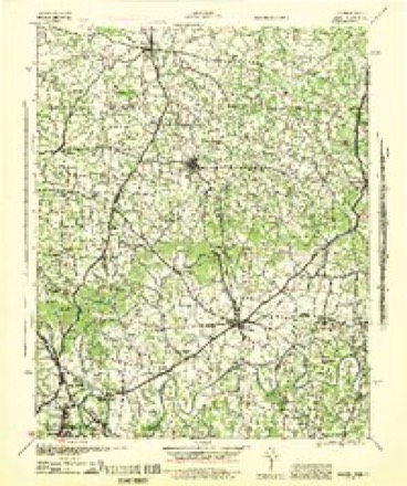
- 1942 USGS Gallatin quadrangle1:100000
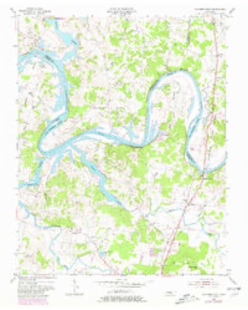
- 1955 USGS Hunters Point quadrangle1:24000, 4 printings
- 1956 USGS Nashville quadrangle1:250000, 2 printings
- 1959 USGS Nashville quadrangle1:250000
- 1984 USGS Nashville quadrangle1:100000
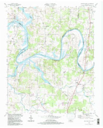
- 1994 USGS Hunters Point quadrangle1:24000



Fires near this place
3 since 1998Regional context, not property-specific evidence. The federal wildfire occurrence database lists 3 fires within 5 miles of Oakland between 1998 and 2013, burning about 24 acres in total. None started naturally. 1 was recorded as arson. Distance is straight-line from the map coordinates, so a fire counted here may appear on a neighbouring settlement's page as well.
| Reported cause | Fires |
|---|---|
| Missing data/not specified/undetermined | 1 |
| Arson/incendiarism | 1 |
| Debris and open burning | 1 |
The most recent of them, most recent first, with the day each was reported and the service that recorded it.
| Date | Cause | Size | Reported by | Name on the report |
|---|---|---|---|---|
| 5 September 2002 | Missing data/not specified/undetermined | under an acre | Tennessee Division of Forestry | not named |
| 4 December 1998 | Debris and open burning | 12 acres | Tennessee Division of Forestry | not named |
| 14 November 2013 | Arson/incendiarism | 12 acres | Tennessee Division of Forestry | BELOTES FERRY RD |
Settlements close enough to share some of these fires:
Mines and quarries near this place
7 within 5 milesRegional context, not property-specific evidence. The federal mineral resources record lists 7 workings within 5 miles of Oakland: 4 occurrences, 2 producers, 1 prospect. 2 still produce. What was taken out: Stone, Crushed/Broken, Limestone, General, Clay, Stone, Crushed/Broken, Calcium, Lead, Fluorine-Fluorite. Distance is straight-line from the map coordinates, so a quarry counted here may appear on a neighbouring settlement's page as well.
| Where | Site | Commodity | Status | Recorded |
|---|---|---|---|---|
| Brown Prospect | Barium-Barite, Fluorine-Fluorite, Lead, Zinc | Occurrence | 1907 | |
| Lebanon Quarry - Plant #2 | Stone, Crushed/Broken, Limestone, General | Producer | Limestone | |
| Lebanon Quarry - Plant #2 | Stone, Crushed/Broken | Producer | ||
| Reed Prospect | Barium-Barite | Prospect | ||
| Unnamed Prospect | Calcium, Lead, Fluorine-Fluorite | Occurrence | Calcite, Fluorite, Galena | |
| Unnamed Prospect | Calcium, Fluorine-Fluorite, Lead | Occurrence | ||
| Van Dyke School Prospect | Clay | Occurrence |
Storms near this place
21 since 2009Regional context, not property-specific evidence. The National Weather Service names Oakland in 21 storm reports between 2009 and 2025: 16 thunderstorm wind, 2 tornado, 2 lightning, 1 flash flood. No death or injury is recorded in these reports. Each account below is quoted exactly as the forecast office filed it, from the NOAA Storm Events Database, and each date opens the federal record of that event.
| When | Event | Place named | Harm | What the report says |
|---|---|---|---|---|
| January 2013 | Tornado (EF1) | Oakland | $800,000 | An EF1 tornado touched down in far northern Wilson County and moved northeast along the Wilson/Trousdale County line for over 10 miles, crossing the Cumberland River four times. Initial damage occurred along Mann Road in northern Wilson County where numerous trees were snapped and minor roof damage was noted. Significant roof damage to homes and some destroyed outbuildings occurred along Canoe Branch Road. The tornado then crossed the Cumberland River into Trousdale County. |
| July 2023 | Lightning | Oakland | $25,000 | A lightning strike caused a structure fire along Mann Road near Oakland. No injuries were reported. Damages are a rough estimated. |
| May 2022 | Thunderstorm Wind | Oakland | $10,000 | Twitter tSpotter report and photo showed a large but rotten tree was blown down on Mann Road which crushed a carport and damaged a boat. |
| July 2016 | Flash Flood | Oakland | $10,000 | Significant flash flooding affected portions of northern Wilson County, with several roads, buildings, and vehicles flooded. Roads that were flooded and closed including Highway 231 near Carroll Oakland Elementary School, the 3000 block of Cedar Grove Road, Old Hunters Point Pike, and Old Rome Pike in Bellwood. A garage was also flooded on Old Hunters Point Pike. Two people were rescued from a stranded vehicle on Cedar Grove Road at Old Hunters Point Pike. No injuries or fatalities were reported. |
| June 2009 | Thunderstorm Wind | Oakland | $10,000 | Trees were reported down at the intersection of Horn Springs Road and Coles Ferry Pike. |
| June 2009 | Thunderstorm Wind | Oakland | $10,000 | Trees and power lines were blocking the 7400 block of Coles Ferry Road. |
| May 2018 | Lightning | Oakland | $6,000 | Lightning struck a 20 foot by 50 foot shed causing damage to a nearby house. |
| June 2024 | Thunderstorm Wind | Oakland | $5,000 | A Facebook user reported a tree down on a home along Denny Road in Lebanon. No injuries were reported. Damages are a rough estimate. |
| December 2021 | Tornado (EF0) | Oakland | $5,000 | This small EF-0 tornado was determined through a combination of NWS storm surveys, NASA satellite imagery, and radar data, and touched down near Belotes Ferry Road in far northern Wilson County where it blew down a few trees. The tornado crossed the Cumberland River into the Belotes Bend area of Sumner County where it blew down dozens of trees in a narrow swath across inaccessible rural areas south of Harsh Lane and Preacher Robertson Road. The tornado again crossed the Cumberland River back into Wilson County where it continued to blow down trees in the Lytles Bend area west of Canoe Branch Road before lifting. Total path length of this tornado was 3.07 miles. |
| July 2015 | Thunderstorm Wind | Oakland | $3,000 | Trees were uprooted and power lines blown down at Coles Ferry Pike and Berea Church Road. |
| June 2013 | Thunderstorm Wind | Oakland | $3,000 | Trees were blown down on Coles Ferry Pike. |
| April 2025 | Thunderstorm Wind | Oakland | $2,000 | Severe thunderstorm winds downed a large tree across the road along the 900 block of Maple Hill Road in Lebanon. Damages are a rough estimate. |
| July 2016 | Thunderstorm Wind | Oakland | $2,000 | Two large trees were blown down across Cave Springs Road. |
| August 2019 | Thunderstorm Wind | Oakland | $1,000 | A tree was blown down across the road at Coles Ferry Road near Cairo Bend Road. |
| July 2016 | Thunderstorm Wind | Oakland | $1,000 | Report of several tree limbs blown down northwest of Lebanon. |
| July 2016 | Thunderstorm Wind | Oakland | $1,000 | A tree was blown down on Cedar Grove Road one mile north of Coles Ferry Pike. |
| July 2016 | Thunderstorm Wind | Oakland | $1,000 | A power line was blown down at 702 Deer Ridge Lane northwest of Lebanon. |
| December 2015 | Thunderstorm Wind | Oakland | $1,000 | A tree was blown down on Belotes Ferry Road near Flipped Road. |
| August 2012 | Thunderstorm Wind | Oakland | $1,000 | A tree was blown down into the road on Coles Ferry Pike at Horn Springs Road. |
| August 2012 | Thunderstorm Wind | Oakland | $1,000 | One tree was snapped and several tree limbs were blown down along Maple Hill Road north of Carver Lane. Nearby video and radar data showed a rotating wall cloud passed just north of this area. |
| June 2009 | Thunderstorm Wind | Oakland | - | Strong winds assoicated with a thunderstorm downed a large tree at the farm of Terry and Saranne Winfield, which landed on top of two pickup trucks, completely destroying them. |
Nearest settlements
The eight closest, with where each one stands in the county. Distances are straight-line, computed from the Geographic Names Information System coordinates.
| Map | Place | Distance | Sheets |
|---|---|---|---|
| Ebaneezer (historical) | 0.5 miles | 10 | |
| Maple Hill | 3.2 miles | 9 | |
| Egan | 3.4 miles | 9 | |
| Muncie (historical) | 3.4 miles | 9 | |
| Pennville (historical) | 3.7 miles | 9 | |
| Cairo Bend | 3.8 miles | 9 | |
| West End Heights | 4.0 miles | 9 | |
| Odum (historical) | 4.3 miles | 10 |
Provenance
This settlement is recorded in the Geographic Names Information System as feature 1315633. The sheet list is computed by point-in-boundary test against the United States Geological Survey's historical topographic inventory. Both are works of the United States government and carry no copyright under 17 U.S.C. 105.
Wildfire. Short, Karen C. 2022. Spatial wildfire occurrence data for the United States, 1992-2020 [FPA_FOD_20221014]. 6th Edition. Fort Collins, CO: Forest Service Research Data Archive. https://doi.org/10.2737/RDS-2013-0009.6 Collected with United States Government funding and usable without additional permissions or fees.
Mines and quarries. USGS Mineral Resources Data System (MRDS) https://mrdata.usgs.gov/mrds/ A work of the United States government, no copyright under 17 U.S.C. 105.
Storms. NOAA National Centers for Environmental Information, Storm Events Database https://www.ncei.noaa.gov/stormevents/ A work of the United States government, no copyright under 17 U.S.C. 105. Narratives are quoted verbatim from the National Weather Service report and are not edited or summarised.