 Block
Oglesby, Tennessee
19 topographic sheets cover this place, the earliest surveyed in 1903 and the latest in 1999. It stands in District 26. It lies in ZIP code area 37211. It stands on Brentwood Branch. The Survey maps it on the Antioch quadrangle.
On record in Oglesby
Buildings and businesses the archive holds for this place. Each opens its own page, with the source record it came from.
On the National Register within a mile 1 record
The National Register names another town for these. They stand within one mile of this settlement's coordinate.
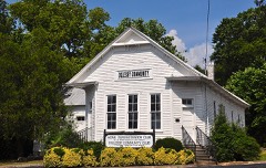 Oglesby Schoollisted 2002 · 0.2 miles away
Topographic sheets covering this place
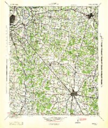
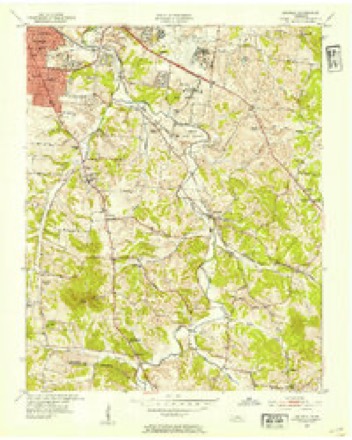
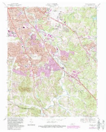
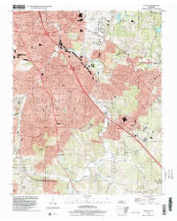
10 surveys from 19 printed sheetsMatched by testing this settlement's coordinate against the published boundary of every sheet in the United States Geological Survey's historical collection. Each opens the scanned sheet at the Survey.
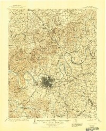
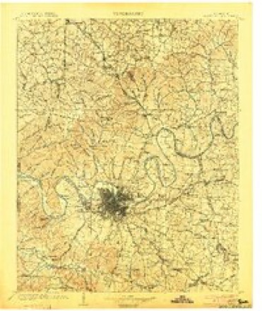
- 1903 USGS Greenbrier quadrangle1:125000, 2 printings
- 1903 USGS Nashville quadrangle1:125000, 2 printings
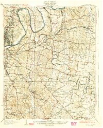
- 1932 USGS Hermitage quadrangle1:62500, 3 printings
- 1942 USGS Lebanon quadrangle1:100000
- 1952 USGS Antioch quadrangle1:24000, 2 printings
- 1956 USGS Nashville quadrangle1:250000, 2 printings
- 1959 USGS Nashville quadrangle1:250000
- 1968 USGS Antioch quadrangle1:24000, 4 printings
- 1984 USGS Nashville quadrangle1:100000
- 1999 USGS Antioch quadrangle1:24000



Fires near this place
3 since 1999Regional context, not property-specific evidence. The federal wildfire occurrence database lists 3 fires within 5 miles of Oglesby between 1999 and 2002, burning about 97 acres in total. None started naturally. None was recorded as arson. Distance is straight-line from the map coordinates, so a fire counted here may appear on a neighbouring settlement's page as well.
| Reported cause | Fires |
|---|---|
| Missing data/not specified/undetermined | 1 |
| Smoking | 1 |
| Debris and open burning | 1 |
The most recent of them, most recent first, with the day each was reported and the service that recorded it.
| Date | Cause | Size | Reported by | Name on the report |
|---|---|---|---|---|
| 9 September 1999 | Smoking | 93 acres | Tennessee Division of Forestry | not named |
| 15 September 2002 | Missing data/not specified/undetermined | 1.0 acres | Tennessee Division of Forestry | not named |
| 13 September 2002 | Debris and open burning | 3.0 acres | Tennessee Division of Forestry | not named |
Settlements close enough to share some of these fires:
Mines and quarries near this place
4 within 5 milesRegional context, not property-specific evidence. The federal mineral resources record lists 4 workings within 5 miles of Oglesby: 2 occurrences, 2 prospects. None of them still produces. What was taken out: Phosphorus-Phosphates. Distance is straight-line from the map coordinates, so a quarry counted here may appear on a neighbouring settlement's page as well.
| Where | Site | Commodity | Status | Recorded |
|---|---|---|---|---|
| Huddleston #304 | Phosphorus-Phosphates | Occurrence | 1969 | |
| No. 304 Prospect | Phosphorus-Phosphates | Prospect | ||
| Prospect Gasser #362 | Phosphorus-Phosphates | Occurrence | ||
| Prospect No. 362 | Phosphorus-Phosphates | Prospect |
Storms near this place
28 since 1998Regional context, not property-specific evidence. The National Weather Service names Oglesby in 28 storm reports between 1998 and 2024: 22 thunderstorm wind, 4 hail, 1 tornado, 1 flood. No death or injury is recorded in these reports. Each account below is quoted exactly as the forecast office filed it, from the NOAA Storm Events Database, and each date opens the federal record of that event.
| When | Event | Place named | Harm | What the report says |
|---|---|---|---|---|
| June 2010 | Thunderstorm Wind | Oglesby | $150,000 | A survey team consisting of personnel from the NWS and the Metro Nashville Office of Emergency Management surveyed damage in the Grieve Hall area of Southern Davidson County. A microburst, with maximum winds around 90 mph occurred. It resulted in around 100 trees being snapped or uprooted, several buildings with partial uplifting and shingle damage, and four wooden power poles being snapped. Initial damage was noted at the corner of Harding Place and Trousdale Drive. A couple of windows were blown out of a local businesses, several signs were destroyed, and a gas pump was blown over onto a car. The damage area then extended around one mile to the east and south, generally an area bordered by Elysian Fields Road to the north and Trousdale Road to the west. |
| September 2017 | Thunderstorm Wind | Oglesby | $25,000 | Davidson County Emergency Management reported 70-80 trees were blown down in the Crieve Hall and Oak Hill areas of Nashville, with some trees snapped and others uprooted. |
| February 2011 | Thunderstorm Wind | Oglesby | $25,000 | Several trees were reported downed from the intersection of McMurray Drive and Edmonson Pike to near Harding Place. |
| June 1998 | Tornado (F1) | Oglesby | $20,000 | The tornado hit south Nashville, in the Oglesby section of town. The tornado began on Hill Road and ended near the intersection of Edmonson Pk and Old Hickory Boulevard. The tornado damaged 2 roofs and snapped trees at the Brentwood Downs Apartments. A lady at the apartment complex saw the tornado. |
| June 2023 | Thunderstorm Wind | Oglesby | $15,000 | Severe thunderstorm winds downed a tree onto the roof of a home west of Antioch. No injuries were reported. Damages are estimated. |
| April 2024 | Thunderstorm Wind | Oglesby | $5,000 | A strong thunderstorm downed a Bradford pear tree on Hill Road near Granberry Elementary School in Oak Hill. Thunderstorm winds in this area were only measured to be in the 40 to 45 mph range. Damages are a rough estimate. |
| June 2016 | Thunderstorm Wind | Oglesby | $3,000 | Numerous trees down in the Crieve Hall area with some on roads. One tree fell on a house on Huntington Parkway. |
| June 2024 | Thunderstorm Wind | Oglesby | $2,000 | Severe thunderstorm winds downed a tree in Crieve Hall. Damages are a rough estimate. |
| June 2018 | Thunderstorm Wind | Oglesby | $2,000 | Several Twitter tSpotter photos showed large trees limbs blown down including one that fell onto a car near Old Hickory Blvd at Nolensville Road. |
| April 2017 | Thunderstorm Wind | Oglesby | $2,000 | A trained spotter reported two trees were snapped on Kincannon Drive in Crieve Hall. |
| July 2016 | Thunderstorm Wind | Oglesby | $2,000 | Facebook photo showed a large tree limb down on a home near Old Hickory Blvd and Nolensville Road in south Nashville. A Twitter report also indicated a tree limb was blown down on Dustin Lane at Battery Lane in Oak Hill. |
| October 2007 | Thunderstorm Wind | Oglesby | $2,000 | Several large trees were blown down at the Crieve Hall area of Nashville near the Ellington Agricultural Center. |
| June 2022 | Thunderstorm Wind | Oglesby | $1,000 | A Twitter tSpotter report and photo showed a large tree snapped in Crieve Hall. |
| August 2019 | Thunderstorm Wind | Oglesby | $1,000 | A trained spotter reported numerous large tree branches were blown down along Hill Road. |
| August 2019 | Thunderstorm Wind | Oglesby | $1,000 | A Twitter tSpotter report indicated tree damage in Crieve Hall. |
| August 2019 | Thunderstorm Wind | Oglesby | $1,000 | A Twitter tSpotter report indicated a tree was blown down across Hill Road in front of Granbery Elementary School. |
| September 2019 | Thunderstorm Wind | Oglesby | $1,000 | A tree was blown down near Crieve Hall Elementary School. |
| April 2018 | Thunderstorm Wind | Oglesby | $1,000 | Large tree limbs were blown down by Granbery Elementary School. |
| June 2018 | Thunderstorm Wind | Oglesby | $1,000 | A tree was snapped in the Ellington Agricultural center. Time estimated based on radar. |
| April 2017 | Thunderstorm Wind | Oglesby | $1,000 | A trained spotter reported a tree was blown down on Old Hickory Blvd. in Nippers Corner. |
| June 2017 | Thunderstorm Wind | Oglesby | $1,000 | A tSpotter Twitter report indicated a large branch was snapped off tree in Crieve Hall. |
| September 2017 | Thunderstorm Wind | Oglesby | $1,000 | A two foot diameter tree was blown down in the Crieve Hall area of Nashville. |
| November 2007 | Thunderstorm Wind | Oglesby | $1,000 | Two trees were uprooted in the Crieve Hall area of Nashville. |
| January 2023 | Hail | Oglesby | - | Nickel size hail was reported west-southwest of Antioch. |
| January 2023 | Hail | Oglesby | - | A photo shared via Twitter showed 1 to 1.5 inch hail stones near Oak Hill. |
| August 2019 | Hail | Oglesby | - | A Twitter tSpotter report and photo showed pea to nickel size hail fell around 1 mile south of Crieve Hall. |
| September 2017 | Hail | Oglesby | - | Pea to nickel size hail fell at the intersection of Rochelle Drive and Oakley Drive. |
| August 2016 | Flood | Oglesby | - | Social media reports and photos indicated street flooding on several roads in Brentwood including Edmondson Pike. No road closures or stalled vehicles. |
Nearest settlements
The eight closest, with where each one stands in the county. Distances are straight-line, computed from the Geographic Names Information System coordinates.
| Map | Place | Distance | Sheets |
|---|---|---|---|
| Myrtlewood Estates | 0.4 miles | 19 | |
| Huntington Ridge Estates | 1.0 miles | 19 | |
| Cloverland Acres | 1.3 miles | 18 | |
| Whispering Hills | 1.8 miles | 19 | |
| Tusculum | 1.9 miles | 19 | |
| Monte Carlo Estates | 1.9 miles | 19 | |
| Hickory Valley Estates | 2.0 miles | 19 | |
| Benbar | 2.0 miles | 18 |
Provenance
This settlement is recorded in the Geographic Names Information System as feature 1313476. The sheet list is computed by point-in-boundary test against the United States Geological Survey's historical topographic inventory. Both are works of the United States government and carry no copyright under 17 U.S.C. 105.
Wildfire. Short, Karen C. 2022. Spatial wildfire occurrence data for the United States, 1992-2020 [FPA_FOD_20221014]. 6th Edition. Fort Collins, CO: Forest Service Research Data Archive. https://doi.org/10.2737/RDS-2013-0009.6 Collected with United States Government funding and usable without additional permissions or fees.
Mines and quarries. USGS Mineral Resources Data System (MRDS) https://mrdata.usgs.gov/mrds/ A work of the United States government, no copyright under 17 U.S.C. 105.
Storms. NOAA National Centers for Environmental Information, Storm Events Database https://www.ncei.noaa.gov/stormevents/ A work of the United States government, no copyright under 17 U.S.C. 105. Narratives are quoted verbatim from the National Weather Service report and are not edited or summarised.