 Block
Overall, Tennessee
15 topographic sheets cover this place, the earliest surveyed in 1916 and the latest in 1985. It stands in District 7. It lies in ZIP code area 37128. It stands on Armstrong Branch. The Survey maps it on the Murfreesboro quadrangle.
On record in Overall
Buildings and businesses the archive holds for this place. Each opens its own page, with the source record it came from.
On the National Register within a mile 1 record
The National Register names another town for these. They stand within one mile of this settlement's coordinate.
 Marymontlisted 1973 · 0.7 miles away
Topographic sheets covering this place
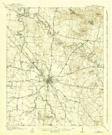
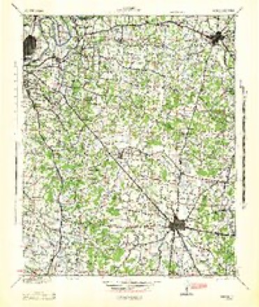
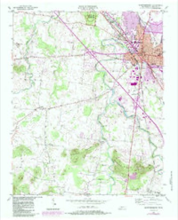
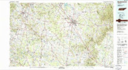
5 surveys from 15 printed sheetsMatched by testing this settlement's coordinate against the published boundary of every sheet in the United States Geological Survey's historical collection. Each opens the scanned sheet at the Survey.
- 1916 USGS Murfreesboro quadrangle1:62500, 2 printings
- 1942 USGS Lebanon quadrangle1:100000
- 1950 USGS Murfreesboro quadrangle1:24000, 5 printings
- 1956 USGS Columbia quadrangle1:250000, 6 printings
- 1985 USGS Murfreesboro quadrangle1:100000

Fires near this place
6 since 1998Regional context, not property-specific evidence. The federal wildfire occurrence database lists 6 fires within 5 miles of Overall between 1998 and 2014, burning about 218 acres in total. None started naturally. 2 were recorded as arson. Distance is straight-line from the map coordinates, so a fire counted here may appear on a neighbouring settlement's page as well.
| Reported cause | Fires |
|---|---|
| Arson/incendiarism | 2 |
| Missing data/not specified/undetermined | 2 |
| Debris and open burning | 1 |
| Smoking | 1 |
The most recent of them, most recent first, with the day each was reported and the service that recorded it.
| Date | Cause | Size | Reported by | Name on the report |
|---|---|---|---|---|
| 7 September 1998 | Debris and open burning | 2.0 acres | Tennessee Division of Forestry | not named |
| 2 March 2006 | Arson/incendiarism | 27 acres | Tennessee Division of Forestry | not named |
| 10 March 2014 | Missing data/not specified/undetermined | 170 acres | Natchez Trace Parkway | STRI -SW WOODLANDS |
| 17 February 2006 | Smoking | under an acre | Stones River National Battlefield | PALMER |
| 20 November 2013 | Missing data/not specified/undetermined | 15 acres | Stones River National Battlefield | MILLER |
| 31 October 2005 | Arson/incendiarism | 3.8 acres | Tennessee Division of Forestry | not named |
Settlements close enough to share some of these fires:
Storms near this place
14 since 2010Regional context, not property-specific evidence. The National Weather Service names Overall in 14 storm reports between 2010 and 2026: 8 thunderstorm wind, 2 hail, 1 funnel cloud, 1 tornado. The reports record 1 injury. Each account below is quoted exactly as the forecast office filed it, from the NOAA Storm Events Database, and each date opens the federal record of that event.
| When | Event | Place named | Harm | What the report says |
|---|---|---|---|---|
| August 2016 | Thunderstorm Wind | Overall | 1 hurt, $10,000 | Based on TV news and social media reports, a microburst affected areas of west Murfreesboro from Kingwood Lane to Old Fort Parkway. A security camera video showed one tree falling onto a girl on Kingwood Lane and pinning her arm beneath it, but she was rescued by a police deputy and only had minor cuts and bruises. Other trees were blown down on Kingwood Lane as well as on Cason Lane. A shed was flipped over and destroyed at the Lowes on Old Fort Parkway. Winds were estimated between 50 and 60 mph. |
| April 2011 | Tornado (EF0) | Overall | $50,000 | A tornado touched down in the Country Park Subdivision just off State Highway 96. This was a brief tornado that uprooted several trees and snapped off others. Winds are|estimated at 75 mph. |
| March 2017 | Thunderstorm Wind | Overall | $20,000 | A tSpotter Twitter report indicated a tree fell on a house on Cason Lane causing major damage to the home. |
| June 2013 | Thunderstorm Wind | Overall | $20,000 | Numerous trees were blown down on Highway 96 at Veterans Parkway, on Rucker Lane, and Cason Lane in western Murfreesboro. Minor wind damage was reported to three homes in the 1270 and 1280 blocks of St. Andrews Drive. |
| February 2019 | Flash Flood | Overall | $10,000 | Media reports indicated extensive flooding affected roads and a few homes in the Kimbro Woods subdivision, partially due to poor drainage issues. Armstrong Valley Road between Veterans Parkway to south of Yeargan Road was also flooded and closed. |
| April 2011 | Thunderstorm Wind | Overall | $10,000 | Several trees were downed on St. Andrews Drive. |
| June 2022 | Thunderstorm Wind | Overall | $5,000 | A tree fell onto and damaged a house on New Salem Highway. |
| April 2026 | Thunderstorm Wind | Overall | $2,000 | Severe thunderstorm winds downed a large tree on the north side of Armstrong Valley Road in south Murfreesboro. Damages are a rough estimate. |
| August 2023 | Thunderstorm Wind | Overall | $500 | Strong thunderstorm winds downed a large tree limb at Rucker Lane and Confederate Road in Murfreesboro. Damages are a rough estimate. |
| May 2024 | Hail | Overall | - | Half dollar size hail was reported near Murfreesboro. |
| March 2021 | Flood | Overall | - | Street flooding was reported on several roads in Murfreesboro including East Overall Creek Road at New Salem Highway, Saint Andrews Drive at Genoa Drive, Molloy Lane at Bridge Avenue, and Heritage Park Drive at Ward Drive. |
| October 2014 | Hail | Overall | - | Numerous reports and photos indicated hail from pea to ping pong ball size fell across the southern half of Murfreesboro, including Cason Lane, River Rock Road, and the MTSU campus. Quarter size hail was also reported just west of downtown Murfreesboro. Hail covered the ground in some areas. |
| June 2013 | Thunderstorm Wind | Overall | - | A tree fell on a car at Highway 96 and Royal Glen Blvd trapping one person inside. |
| October 2010 | Funnel Cloud | Overall | - | A funnel cloud was observed near South Windrow Road. |
Nearest settlements
The eight closest, with where each one stands in the county. Distances are straight-line, computed from the Geographic Names Information System coordinates.
| Map | Place | Distance | Sheets |
|---|---|---|---|
| Salem | 0.1 miles | 15 | |
| Southern Aire | 1.1 miles | 15 | |
| Country Park | 1.7 miles | 15 | |
| Stonebrook | 1.9 miles | 15 | |
| Old South Estates | 2.1 miles | 15 | |
| Brookhill | 2.1 miles | 15 | |
| Barfield Meadows | 2.2 miles | 15 | |
| Brownview Acres | 2.2 miles | 15 |
Elsewhere
Matched on this settlement's Geographic Names Information System number rather than its name, so it cannot be a different place of the same name in another state.
| Wikipedia article on Overall | An encyclopaedic summary. Its text is share-alike, so it is linked here rather than copied. |
| Wikidata item Q28153524 | The structured record the population and elevation above come from. Public domain (CC0). |
Provenance
This settlement is recorded in the Geographic Names Information System as feature 1652430. The sheet list is computed by point-in-boundary test against the United States Geological Survey's historical topographic inventory. Both are works of the United States government and carry no copyright under 17 U.S.C. 105.
Wildfire. Short, Karen C. 2022. Spatial wildfire occurrence data for the United States, 1992-2020 [FPA_FOD_20221014]. 6th Edition. Fort Collins, CO: Forest Service Research Data Archive. https://doi.org/10.2737/RDS-2013-0009.6 Collected with United States Government funding and usable without additional permissions or fees.
Storms. NOAA National Centers for Environmental Information, Storm Events Database https://www.ncei.noaa.gov/stormevents/ A work of the United States government, no copyright under 17 U.S.C. 105. Narratives are quoted verbatim from the National Weather Service report and are not edited or summarised.