 Block
Riverton, Tennessee
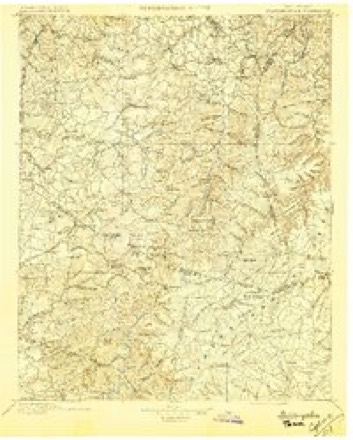
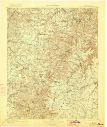
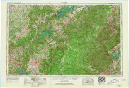
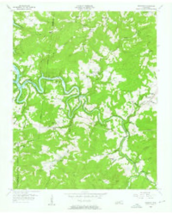
17 topographic sheets cover this place, the earliest surveyed in 1897 and the latest in 1982. It stands in District 2. It lies in ZIP code area 38556. It stands on Cricket Creek. The Survey maps it on the Riverton quadrangle.
Topographic sheets covering this place
6 surveys from 17 printed sheetsMatched by testing this settlement's coordinate against the published boundary of every sheet in the United States Geological Survey's historical collection. Each opens the scanned sheet at the Survey.
- 1897 USGS Standingstone quadrangle1:125000
- 1898 USGS Standingstone quadrangle1:125000, 8 printings
- 1956 USGS Corbin quadrangle1:250000, 3 printings
- 1956 USGS Riverton quadrangle1:24000, 3 printings
- 1958 USGS Corbin quadrangle1:250000
- 1982 USGS Cookeville quadrangle1:100000
Fires near this place
40 since 1997Regional context, not property-specific evidence. The federal wildfire occurrence database lists 40 fires within 5 miles of Riverton between 1997 and 2020, burning about 548 acres in total. 1 started naturally. 18 were recorded as arson. Distance is straight-line from the map coordinates, so a fire counted here may appear on a neighbouring settlement's page as well.
| Reported cause | Fires |
|---|---|
| Arson/incendiarism | 18 |
| Debris and open burning | 13 |
| Missing data/not specified/undetermined | 6 |
| Misuse of fire by a minor | 1 |
| Equipment and vehicle use | 1 |
| Natural | 1 |
The most recent of them, most recent first, with the day each was reported and the service that recorded it.
| Date | Cause | Size | Reported by | Name on the report |
|---|---|---|---|---|
| 26 September 1999 | Arson/incendiarism | 10 acres | Tennessee Division of Forestry | not named |
| 15 September 1999 | Equipment and vehicle use | 7.5 acres | Tennessee Division of Forestry | not named |
| 11 September 2005 | Arson/incendiarism | 4.0 acres | Tennessee Division of Forestry | not named |
| 28 August 2011 | Missing data/not specified/undetermined | 5.0 acres | Tennessee Division of Forestry | SAW MILL |
| 15 June 2012 | Missing data/not specified/undetermined | 1.5 acres | Tennessee Division of Forestry | BOATLAND SAWMILL |
| 6 May 2008 | Debris and open burning | 2.0 acres | Tennessee Division of Forestry | not named |
| 4 May 2001 | Debris and open burning | 1.5 acres | Tennessee Division of Forestry | not named |
| 6 April 2011 | Arson/incendiarism | 8.4 acres | Tennessee Division of Forestry | DOUBLE TOP LLC |
Settlements close enough to share some of these fires:
Mines and quarries near this place
2 within 5 milesRegional context, not property-specific evidence. The federal mineral resources record lists 2 workings within 5 miles of Riverton: 2 occurrences. None of them still produces. What was taken out: Zinc. Distance is straight-line from the map coordinates, so a quarry counted here may appear on a neighbouring settlement's page as well.
| Where | Site | Commodity | Status | Recorded |
|---|---|---|---|---|
| Deep Well-Sphalerite Occurrence | Zinc | Occurrence | Sphalerite | |
| Deep Well-Sphalerite Occurrence | Zinc | Occurrence |
Storms near this place
5 since 2012Regional context, not property-specific evidence. The National Weather Service names Riverton in 5 storm reports between 2012 and 2023: 2 flash flood, 1 heavy rain, 1 tornado, 1 thunderstorm wind. No death or injury is recorded in these reports. Each account below is quoted exactly as the forecast office filed it, from the NOAA Storm Events Database, and each date opens the federal record of that event.
| When | Event | Place named | Harm | What the report says |
|---|---|---|---|---|
| July 2023 | Flash Flood | Riverton | $100,000 | Heavy rain started early in the morning in the Jamestown area, and training thunderstorms through the afternoon hours produced five to eight inches of rain which resulted in significant flash flooding. According to the emergency manager and several other sources, numerous roads were flooded and washed out due to the flooding. Some of these roads included Manson Road, Tollie Lane, and Riverton Road in the Manson community where two small bridges also reportedly had water flowing over them. Highway 52 at Riverton Road was washed out and impassable. Boatland Road and Mill Creek Road were also washed out with a car swept away along Mill Creek Road. Glenobey Road and David Road were also flooded and closed. No reports of injuries or fatalities were received. Damages are a rough estimate. |
| July 2015 | Tornado (EF1) | Riverton | $50,000 | A tornado moved southeast out of far southern Pickett County into western Fentress County and strengthened to EF1 intensity. One home on Riverton Road suffered moderate roof and siding damage, and a nearby mobile home had minor roof damage. Numerous trees and power lines were blown down on Riverton Road and Highway 52 with both roadways blocked and closed. More trees were snapped and uprooted on Manson Road and Boatland Road before the tornado lifted around 6 miles southwest of Jamestown. Maximum winds were estimated at 95 mph. |
| July 2018 | Thunderstorm Wind | Riverton | $1,000 | A tree was blown down on Old Stevens Road. |
| September 2012 | Flash Flood | Riverton | $1,000 | Total rainfall accumulation of 6.69 inches reported just southeast of Riverton. This rainfall amount posed a threat to life in property in this area of the county. |
| October 2012 | Heavy Rain | Riverton | - | CoCoRaHS observer TN-FN-9 measured a 24 hour rainfall total of 3.43 inches. |
Nearest settlements
The eight closest, with where each one stands in the county. Distances are straight-line, computed from the Geographic Names Information System coordinates.
| Map | Place | Distance | Sheets |
|---|---|---|---|
| Little Crab | 1.7 miles | 17 | |
| Cooper | 2.1 miles | 17 | |
| Double Top | 3.0 miles | 17 | |
| Manson | 3.7 miles | 17 | |
| Helena | 3.8 miles | 17 | |
| Boatland | 4.4 miles | 17 | |
| Fairview | 5.5 miles | 17 | |
| Glenobey | 6.1 miles | 17 |
Provenance
This settlement is recorded in the Geographic Names Information System as feature 1315813. The sheet list is computed by point-in-boundary test against the United States Geological Survey's historical topographic inventory. Both are works of the United States government and carry no copyright under 17 U.S.C. 105.
Wildfire. Short, Karen C. 2022. Spatial wildfire occurrence data for the United States, 1992-2020 [FPA_FOD_20221014]. 6th Edition. Fort Collins, CO: Forest Service Research Data Archive. https://doi.org/10.2737/RDS-2013-0009.6 Collected with United States Government funding and usable without additional permissions or fees.
Mines and quarries. USGS Mineral Resources Data System (MRDS) https://mrdata.usgs.gov/mrds/ A work of the United States government, no copyright under 17 U.S.C. 105.
Storms. NOAA National Centers for Environmental Information, Storm Events Database https://www.ncei.noaa.gov/stormevents/ A work of the United States government, no copyright under 17 U.S.C. 105. Narratives are quoted verbatim from the National Weather Service report and are not edited or summarised.