 Block
Rucker, Tennessee
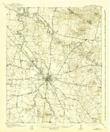
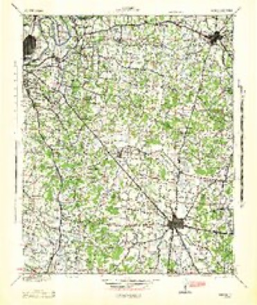
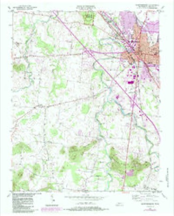
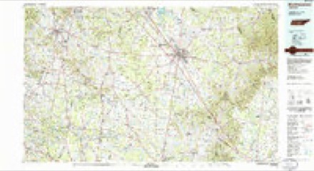
15 topographic sheets cover this place, the earliest surveyed in 1916 and the latest in 1985. It stands in District 6. It lies in ZIP code area 37127. It lies near Marshall Knobs. The Survey maps it on the Murfreesboro quadrangle.
Topographic sheets covering this place
5 surveys from 15 printed sheetsMatched by testing this settlement's coordinate against the published boundary of every sheet in the United States Geological Survey's historical collection. Each opens the scanned sheet at the Survey.
- 1916 USGS Murfreesboro quadrangle1:62500, 2 printings
- 1942 USGS Lebanon quadrangle1:100000
- 1950 USGS Murfreesboro quadrangle1:24000, 5 printings
- 1956 USGS Columbia quadrangle1:250000, 6 printings
- 1985 USGS Murfreesboro quadrangle1:100000

Fires near this place
4 since 1999Regional context, not property-specific evidence. The federal wildfire occurrence database lists 4 fires within 5 miles of Rucker between 1999 and 2016, burning about 224 acres in total. None started naturally. 1 was recorded as arson. Distance is straight-line from the map coordinates, so a fire counted here may appear on a neighbouring settlement's page as well.
| Reported cause | Fires |
|---|---|
| Debris and open burning | 1 |
| Equipment and vehicle use | 1 |
| Smoking | 1 |
| Arson/incendiarism | 1 |
The most recent of them, most recent first, with the day each was reported and the service that recorded it.
| Date | Cause | Size | Reported by | Name on the report |
|---|---|---|---|---|
| 10 September 1999 | Debris and open burning | 97 acres | Tennessee Division of Forestry | not named |
| 5 March 2006 | Arson/incendiarism | under an acre | Tennessee Division of Forestry | not named |
| 3 November 2005 | Smoking | 10 acres | Tennessee Division of Forestry | not named |
| 23 November 2016 | Equipment and vehicle use | 116 acres | Tennessee Division of Forestry | GUM RD FIRE |
Settlements close enough to share some of these fires:
Mines and quarries near this place
2 within 5 milesRegional context, not property-specific evidence. The federal mineral resources record lists 2 workings within 5 miles of Rucker: 2 producers. All of them still produce. What was taken out: Limestone, High Calcium, Stone, Crushed/Broken. Distance is straight-line from the map coordinates, so a quarry counted here may appear on a neighbouring settlement's page as well.
| Where | Site | Commodity | Status | Recorded |
|---|---|---|---|---|
| Rutherford Co. Highway Dept. Quarry | Stone, Crushed/Broken | Producer | ||
| Rutherford County Highway Department Quarry | Limestone, High Calcium | Producer | Limestone |
Storms near this place
11 since 2009Regional context, not property-specific evidence. The National Weather Service names Rucker in 11 storm reports between 2009 and 2025: 4 thunderstorm wind, 3 hail, 2 tornado, 2 flood. No death or injury is recorded in these reports. Each account below is quoted exactly as the forecast office filed it, from the NOAA Storm Events Database, and each date opens the federal record of that event.
| When | Event | Place named | Harm | What the report says |
|---|---|---|---|---|
| October 2011 | Hail | Rucker | $5,000,000 | Hail ranging from quarter up to baseball size fell across a wide area from Barfield northward through central Murfreesboro and across the Murfreesboro Municipal Airport. Some hailstones were measured up to baseball size in Barfield, but most of the hail was quarter to golfball size from Murfreesboro northward to east of Walterhill. Hail also reportedly covered the ground in Murfreesboro. Thousands of cars were damaged by the hail, along with hundreds of homes and businesses, resulting in millions of dollars in damage. Up to two dozen planes at the Murfreesboro Municipal Airport were also battered by the hail resulting in $500,000 damage, including holes punctured in the wings of some planes. This was the worst known October hail storm in the history of Rutherford County. |
| April 2023 | Tornado (EF2) | Rucker | $250,000 | A strong EF2 tornado with estimated peak winds of 130 mph touched down six miles south of downtown Murfreesboro near County Farm Road then moved northeast along Elam Road where several trees and fences were blown down and a few homes suffered minor damage. Trees continued to be blown down as the tornado crossed Lyle Creek Road, Bradyville Pike, Floraton Road, and McElory Road. The tornado strengthened to EF1 as it cross Highway 70 west of Woodbury Pike, significantly damaging one home and several nearby outbuildings. Damages are estimated for Rutherford County. |
| June 2009 | Thunderstorm Wind | Rucker | $120,000 | A tree with a diamater of 38 to 40 inches was uprooted with the tree falling and causing major damage to the central portion of the home. Four to five trees were also downed within 500ft path of visible damage. Insurance company estimates damage|at $120,000. Damage was located in Oak Meadows Subdivision. |
| April 2011 | Thunderstorm Wind | Rucker | $10,000 | Several trees were downed near Christiana on Caro Road and Rock Springs on Midland Road. |
| March 2025 | Thunderstorm Wind | Rucker | $5,000 | Severe thunderstorm winds caused a privacy fence to be blown down, partially blocking the road along Rucker Road near County Farm Road. Damages are a rough estimate. |
| April 2009 | Tornado (EF0) | Rucker | $5,000 | An EF0 Tornado, with estimated maximum wind speeds of 70 mph, pushed several oak trees down. Path length was 0.2 miles and it had a maximum width of 25 yards. |
| June 2014 | Thunderstorm Wind | Rucker | $1,000 | A tree was blown down on Rucker Christiana Road blocking the roadway. |
| February 2019 | Flood | Rucker | - | East County Farm Road near the Community Care Center was closed due to high water. |
| March 2017 | Hail | Rucker | - | Several Facebook and Twitter reports and photos indicated quarter size to half dollar size hail fell in southern Murfreesboro around South Church Street and Veterans Parkway. |
| May 2013 | Flood | Rucker | - | A bridge on Elam Mill Road was reportedly closed due to high water. |
| March 2012 | Hail | Rucker | - | no account filed |
Nearest settlements
The eight closest, with where each one stands in the county. Distances are straight-line, computed from the Geographic Names Information System coordinates.
| Map | Place | Distance | Sheets |
|---|---|---|---|
| Oakwood | 1.2 miles | 15 | |
| Colonial Estates | 1.4 miles | 13 | |
| R T Estates | 1.7 miles | 13 | |
| Mount View Estates | 1.8 miles | 15 | |
| Winstead (historical) | 1.9 miles | 15 | |
| Steeplechase Meadows | 2.1 miles | 13 | |
| Palmer Acres South | 2.1 miles | 15 | |
| Burns Place | 2.5 miles | 13 |
Provenance
This settlement is recorded in the Geographic Names Information System as feature 1300221. The sheet list is computed by point-in-boundary test against the United States Geological Survey's historical topographic inventory. Both are works of the United States government and carry no copyright under 17 U.S.C. 105.
Wildfire. Short, Karen C. 2022. Spatial wildfire occurrence data for the United States, 1992-2020 [FPA_FOD_20221014]. 6th Edition. Fort Collins, CO: Forest Service Research Data Archive. https://doi.org/10.2737/RDS-2013-0009.6 Collected with United States Government funding and usable without additional permissions or fees.
Mines and quarries. USGS Mineral Resources Data System (MRDS) https://mrdata.usgs.gov/mrds/ A work of the United States government, no copyright under 17 U.S.C. 105.
Storms. NOAA National Centers for Environmental Information, Storm Events Database https://www.ncei.noaa.gov/stormevents/ A work of the United States government, no copyright under 17 U.S.C. 105. Narratives are quoted verbatim from the National Weather Service report and are not edited or summarised.