 Block
Saundersville, Tennessee
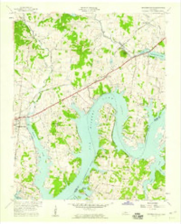
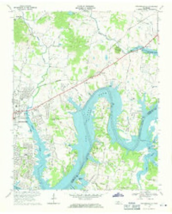
13 topographic sheets cover this place, the earliest surveyed in 1903 and the latest in 1984. It stands in District 11. It lies in ZIP code area 37075. The Survey maps it on the Hendersonville quadrangle.
Topographic sheets covering this place
9 surveys from 13 printed sheetsMatched by testing this settlement's coordinate against the published boundary of every sheet in the United States Geological Survey's historical collection. Each opens the scanned sheet at the Survey.
- 1903 USGS Greenbrier quadrangle1:125000, 2 printings
- 1903 USGS Nashville quadrangle1:125000, 2 printings
- 1942 USGS Gallatin quadrangle1:100000
- 1952 USGS Hendersonville quadrangle1:24000
- 1956 USGS Nashville quadrangle1:250000, 2 printings
- 1957 USGS Hendersonville quadrangle1:24000
- 1959 USGS Nashville quadrangle1:250000
- 1968 USGS Hendersonville quadrangle1:24000, 2 printings
- 1984 USGS Nashville quadrangle1:100000



Fires near this place
3 since 1999Regional context, not property-specific evidence. The federal wildfire occurrence database lists 3 fires within 5 miles of Saundersville between 1999 and 2006, burning about 35 acres in total. 1 started naturally. None was recorded as arson. Distance is straight-line from the map coordinates, so a fire counted here may appear on a neighbouring settlement's page as well.
| Reported cause | Fires |
|---|---|
| Debris and open burning | 2 |
| Natural | 1 |
The most recent of them, most recent first, with the day each was reported and the service that recorded it.
| Date | Cause | Size | Reported by | Name on the report |
|---|---|---|---|---|
| 23 September 1999 | Debris and open burning | 30 acres | Tennessee Division of Forestry | not named |
| 7 August 2006 | Natural | under an acre | Tennessee Division of Forestry | not named |
| 2 November 2001 | Debris and open burning | 5.0 acres | Tennessee Division of Forestry | not named |
Settlements close enough to share some of these fires:
Mines and quarries near this place
3 within 5 milesRegional context, not property-specific evidence. The federal mineral resources record lists 3 workings within 5 miles of Saundersville: 2 producers, 1 past producer. 2 still produce. What was taken out: Stone, Crushed/Broken, Stone, Crushed/Broken, Limestone, General. Distance is straight-line from the map coordinates, so a quarry counted here may appear on a neighbouring settlement's page as well.
| Where | Site | Commodity | Status | Recorded |
|---|---|---|---|---|
| Pilot Knob Quarry | Stone, Crushed/Broken, Limestone, General | Producer | Limestone | |
| Gallatin Quarry | Stone, Crushed/Broken | Producer | ||
| Pilot Knob Quarry | Stone, Crushed/Broken | Past Producer |
Storms near this place
12 since 2015Regional context, not property-specific evidence. The National Weather Service names Saundersville in 12 storm reports between 2015 and 2025: 6 thunderstorm wind, 2 lightning, 1 heavy rain, 1 flood. No death or injury is recorded in these reports. Each account below is quoted exactly as the forecast office filed it, from the NOAA Storm Events Database, and each date opens the federal record of that event.
| When | Event | Place named | Harm | What the report says |
|---|---|---|---|---|
| July 2015 | Lightning | Saundersville | $300,000 | Lightning struck a home on Skyview Drive near Bluegrass Drive. The resulting fire destroyed the home. |
| May 2021 | Tornado (EF0) | Saundersville | $25,000 | This EF-0 tornado touched down along Saundersville Road north of Country Hills Golf Course, snapping power poles and uprooting trees. The tornado continued to intermittently touch down as it moved northeast, and was captured on video along Big Station Camp Blvd near Springdale Lane. Several trees were blown down along Vietnam Veterans Blvd, and two large barns were completely destroyed on St Blaise Road. The tornado weakened quickly as it passed through the west side of the Vol State College Campus and a Publix Supermarket parking lot on Highway 31E, blowing down a few trees and signs before lifting. |
| April 2025 | Thunderstorm Wind | Saundersville | $15,000 | Severe thunderstorm winds downed trees and damaged shutters in northeast Hendersonville. Damages are a rough estimate. |
| April 2025 | Thunderstorm Wind | Saundersville | $10,000 | Severe thunderstorm winds downed a tree onto a home along Tyne Bay Drive in Hendersonville. Damages are a rough estimate. |
| May 2015 | Thunderstorm Wind | Saundersville | $10,000 | A large downburst struck areas from Hendersonville to Gallatin. Numerous trees and tree limbs were blown down across this area including on Saundersville Road and Big Station Camp Blvd in Hendersonville. An NWS employee reported a vent and several shingles blown off his roof in eastern Hendersonville. Other trees and tree limbs were blown down along Long Hollow Pike and at Long Hollow Golf Course in Gallatin. Winds were estimated up to 65 mph. |
| July 2016 | Thunderstorm Wind | Saundersville | $6,000 | A NWS employee reported 5 power poles were snapped with power lines down on Saundersville Road just north of Vietnam Vets Parkway. |
| August 2018 | Lightning | Saundersville | $5,000 | Lightning struck a house on Stillwater Trail at Bonita Parkway in Hendersonville. The resulting fire caused minor damage to the home. |
| May 2015 | Thunderstorm Wind | Saundersville | $1,000 | Two small trees were snapped on Anderson Lane in Hendersonville. |
| April 2015 | Thunderstorm Wind | Saundersville | $1,000 | Twitter photo showed a railroad crossing arm was snapped in half on Winston Hills Parkway. |
| June 2023 | Hail | Saundersville | - | Estimated nickel size hail fell north of Hendersonville. |
| October 2018 | Flood | Saundersville | - | A tSpotter Twitter report indicated Stop 30 Road at Drakes Creek was flooded with local police blocking the road. |
| July 2016 | Heavy Rain | Saundersville | - | CoCoRaHS Station Hendersonville 2.9 NE measured a 24 hour rainfall total of 4.02 inches. |
Nearest settlements
The eight closest, with where each one stands in the county. Distances are straight-line, computed from the Geographic Names Information System coordinates.
| Map | Place | Distance | Sheets |
|---|---|---|---|
| Bluegrass Meadows | 0.5 miles | 13 | |
| Avondale | 0.9 miles | 13 | |
| Lake Club Estates | 1.1 miles | 13 | |
| Scottish Highlands | 1.1 miles | 13 | |
| The Maples | 1.7 miles | 13 | |
| Raintree Estates | 2.3 miles | 13 | |
| Colonial Acres | 2.3 miles | 13 | |
| Maple Row Estates | 2.5 miles | 13 |
Provenance
This settlement is recorded in the Geographic Names Information System as feature 1300813. The sheet list is computed by point-in-boundary test against the United States Geological Survey's historical topographic inventory. Both are works of the United States government and carry no copyright under 17 U.S.C. 105.
Wildfire. Short, Karen C. 2022. Spatial wildfire occurrence data for the United States, 1992-2020 [FPA_FOD_20221014]. 6th Edition. Fort Collins, CO: Forest Service Research Data Archive. https://doi.org/10.2737/RDS-2013-0009.6 Collected with United States Government funding and usable without additional permissions or fees.
Mines and quarries. USGS Mineral Resources Data System (MRDS) https://mrdata.usgs.gov/mrds/ A work of the United States government, no copyright under 17 U.S.C. 105.
Storms. NOAA National Centers for Environmental Information, Storm Events Database https://www.ncei.noaa.gov/stormevents/ A work of the United States government, no copyright under 17 U.S.C. 105. Narratives are quoted verbatim from the National Weather Service report and are not edited or summarised.