 Block
Tiptonville, Tennessee
14 topographic sheets cover this place, the earliest surveyed in 1925 and the latest in 1983. It stands in District 2. It lies in ZIP code area 38079. The Survey maps it on the Tiptonville quadrangle. 3,976 people lived here at the 2020 count. It stands 299 feet above sea level.
Research this city
On record in Tiptonville
Buildings and businesses the archive holds for this place. Each opens its own page, with the source record it came from.
On the National Register 1 record
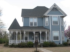 Caldwell-Hopson Houselisted 1993
Population over time
2 figuresTiptonville fell from 4,464 to 3,976 between 2010 and 2020. These are the recorded population figures Wikidata holds for this place, reached through the Geographic Names Information System number this page is keyed on rather than by name, so they belong to this place and not to another of the same name. Most are census counts, but not all are: an early figure may be a founding or settlement estimate, and an estimate published within five years of a census is left out. The change column is computed, and is left blank where more than 20 years separate a figure from the one before it, because a gap that long is not a change between two counts.
| Year | People | Change |
|---|---|---|
| 2010 | 4,464 | |
| 2020 | 3,976 | -488 (-11%) |
Topographic sheets covering this place
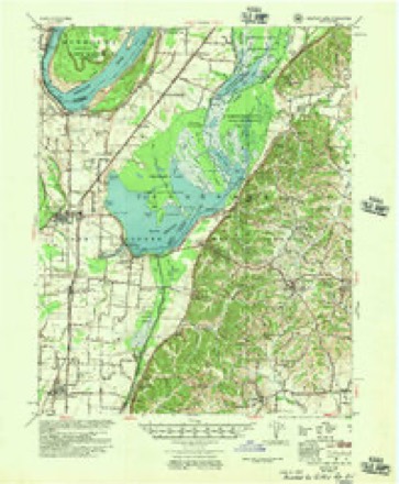
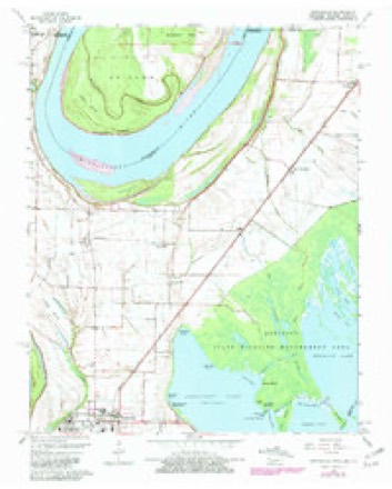
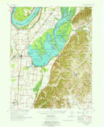
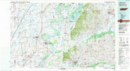
7 surveys from 14 printed sheetsMatched by testing this settlement's coordinate against the published boundary of every sheet in the United States Geological Survey's historical collection. Each opens the scanned sheet at the Survey.
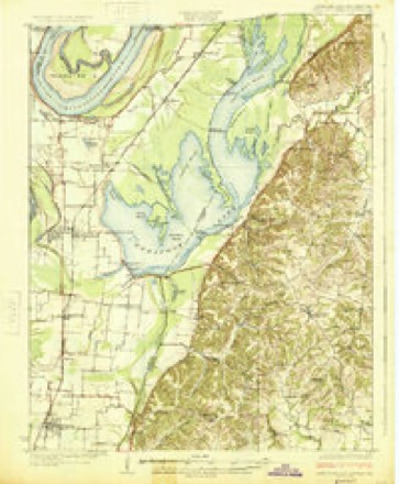
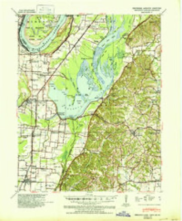
- 1925 USGS Reelfoot Lake quadrangle1:62500, 3 printings
- 1939 USGS Reelfoot Lake quadrangle1:62500, 2 printings
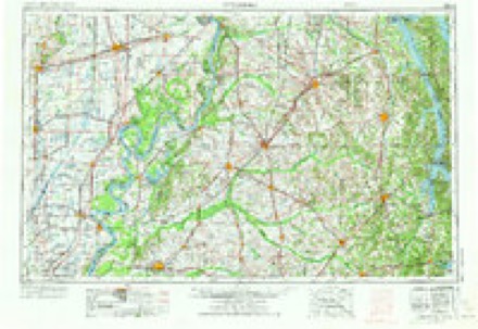
- 1956 USGS Dyersburg quadrangle1:250000, 4 printings
- 1956 USGS Reelfoot Lake quadrangle1:62500
- 1964 USGS Tiptonville quadrangle1:24000, 2 printings
- 1967 USGS Reelfoot Lake quadrangle1:62500
- 1983 USGS Dyersburg quadrangle1:100000
Fires near this place
2 since 2012Regional context, not property-specific evidence. The federal wildfire occurrence database lists 2 fires within 5 miles of Tiptonville between 2012 and 2016, burning about 12 acres in total. None started naturally. None was recorded as arson. Distance is straight-line from the map coordinates, so a fire counted here may appear on a neighbouring settlement's page as well.
| Reported cause | Fires |
|---|---|
| Fireworks | 1 |
| Debris and open burning | 1 |
The most recent of them, most recent first, with the day each was reported and the service that recorded it.
| Date | Cause | Size | Reported by | Name on the report |
|---|---|---|---|---|
| 5 July 2016 | Fireworks | 5.5 acres | Tennessee Division of Forestry | THE BIG BANG |
| 25 November 2012 | Debris and open burning | 7.0 acres | Tennessee Division of Forestry | REELFOOT DUCK |
Settlements close enough to share some of these fires:
Storms near this place
53 since 1995Regional context, not property-specific evidence. The National Weather Service names Tiptonville in 53 storm reports between 1995 and 2025: 28 thunderstorm wind, 13 hail, 4 flash flood, 3 flood. No death or injury is recorded in these reports. Each account below is quoted exactly as the forecast office filed it, from the NOAA Storm Events Database, and each date opens the federal record of that event.
| When | Event | Place named | Harm | What the report says |
|---|---|---|---|---|
| April 2002 | Tornado (F1) | Tiptonville | $750,000 | The tornado touched down just west of Tiptonville and tracked northeast just north of Tiptonville. Eleven mobile homes were destroyed and another twelve were damaged. A shed was demolished. Five homes were also damaged. Numerous trees were blown down. |
| February 2019 | Flood | Tiptonville | $500,000 | Mutiple roads flooded and water rescue for vehicles and 8 people rescued in houses. |
| April 2000 | Hail | Tiptonville | $500,000 | Many leaves were taken off trees by the hail. Many cars and roofs were damaged by the hail as well. |
| May 2000 | Thunderstorm Wind | Tiptonville | $75,000 | A mobile home blew over on top of a truck. Several trees and power lines were knocked down. A few trees fell on houses. |
| May 2024 | Thunderstorm Wind | Tiptonville | $60,000 | At least 25 utility poles downed in Tiptonville and surrounding. Widespread tree damage and some structural damages including a metal building lost its roof. |
| April 2017 | Thunderstorm Wind | Tiptonville | $60,000 | Trees and power lines down. A few farm sheds and old buildings damaged. |
| June 2004 | Thunderstorm Wind | Tiptonville | $30,000 | Several trees were blown down. One tree fell on a travel trailer destroying it. |
| April 2006 | Hail | Tiptonville | $25,000 | There were numerous reports of damage to vehicles and roofs caused by the tennis ball sized hail. |
| May 2004 | Thunderstorm Wind | Tiptonville | $25,000 | One house was damaged. Some trees were blown down. |
| September 2001 | Lightning | Tiptonville | $25,000 | The Lake County jail sustained electrical damage after the building took a lightning strike. |
| August 2001 | Lightning | Tiptonville | $25,000 | A lightning strike caused a 10" water main to be blown apart in two places. A pick-up truck, 2 televisions and 3 phones were also damaged by the lightning. |
| February 2021 | Flash Flood | Tiptonville | $15,000 | Flooding occurred across Tiptonville. Several inches of water flooded one structure. |
| July 2004 | Thunderstorm Wind | Tiptonville | $15,000 | A boat shed at the Blue Wing Hunting Lodge was damaged. Several trees were blown down. |
| October 2001 | Thunderstorm Wind | Tiptonville | $15,000 | A forty-foot cotton trailer was blown across two ditches and a road. Some cotton bales were blown apart. |
| July 2023 | Thunderstorm Wind | Tiptonville | $10,000 | A carport was lifted and tossed onto Highway 78 across from the Lake County Heath Department. |
| August 2004 | Thunderstorm Wind | Tiptonville | $10,000 | A large tree fell onto a house. Some other homes were damaged. Several trees were blown down. |
| August 2004 | Flash Flood | Tiptonville | $10,000 | Several businesses were flooded, including the Tiptonville Dairy Queen. |
| June 1999 | Lightning | Tiptonville | $10,000 | A building was damaged by a fire started by lightning. |
| June 1999 | Flood | Tiptonville | $10,000 | Several business were flooded after three inches of rain fell in one hour. |
| July 1998 | Thunderstorm Wind | Tiptonville | $10,000 | Several trees and power lines were blown down. |
| June 1997 | Thunderstorm Wind | Tiptonville | $10,000 | Several trees were knocked down. One fallen tree severely damaged the back of one home and knocked several holes in the roof. |
| January 2020 | Thunderstorm Wind | Tiptonville | $5,000 | Straight-line winds snapped and uprooted trees in Tiptonville. |
| October 2007 | Thunderstorm Wind | Tiptonville | $5,000 | Several trees were blown down on Marcus Berry Lane in Tiptonville. |
| May 2002 | Thunderstorm Wind | Tiptonville | $5,000 | Several trees were knocked down. |
| April 1999 | Thunderstorm Wind | Tiptonville | $5,000 | A few trees were blown down. One of the trees fell on a pickup truck. |
| June 1999 | Thunderstorm Wind | Tiptonville | $5,000 | Two utility poles were snapped in half. |
| April 2008 | Thunderstorm Wind | Tiptonville | $4,000 | Straight line winds blew trees down on Walnut Street in Tiptonville. |
| September 2006 | Thunderstorm Wind | Tiptonville | $4,000 | Straight line winds knocked down a few trees and a few signs near Tiptonville. |
| July 2006 | Thunderstorm Wind | Tiptonville | $2,000 | Several trees were downed along Highway 21 around Reelfoot Lake. |
| May 2002 | Flash Flood | Tiptonville | $1,000 | Several roads were flooded. |
| August 1998 | Flood | Tiptonville | $1,000 | Several roads were covered with water. |
| May 1998 | Hail | Tiptonville | $750 | no account filed |
| February 2023 | Thunderstorm Wind | Tiptonville | $100 | Straight-line winds ripped a shutter off a home and knocked a few small limbs down. |
| April 1998 | Hail | Tiptonville | $100 | no account filed |
| January 1999 | Tornado (F0) | Tiptonville | $50 | A tornado briefly touched down near Tiptonville producing little damage. |
| April 2003 | Hail | Tiptonville | $50 | no account filed |
| October 2001 | Hail | Tiptonville | $50 | no account filed |
| June 1998 | Hail | Tiptonville | $50 | no account filed |
| January 1999 | Hail | Tiptonville | $10 | no account filed |
| April 1998 | Hail | Tiptonville | $10 | no account filed |
| May 1997 | Hail | Tiptonville | $10 | no account filed |
| May 1995 | Thunderstorm Wind | Tiptonville | $1 | A few farm buildings were damaged. |
| February 2022 | Thunderstorm Wind | Tiptonville | - | A tree fell on a school building and fences were blown over. |
| May 2022 | Hail | Tiptonville | - | Half-dollar-sized hail reported in Tiptonville. |
| May 2021 | Thunderstorm Wind | Tiptonville | - | Trees and power lines were knocked down in the Tiptonville area. Highways 78 and 22 were blocked. A power pole was snapped in Tiptonville. |
| May 2020 | Thunderstorm Wind | Tiptonville | - | Large tree branches were broken in Tiptonville. Winds estimated near 70 mph. |
| March 2017 | Thunderstorm Wind | Tiptonville | - | Damage to small tree limbs. Winds estimated at 65 mph. |
| June 2012 | Thunderstorm Wind | Tiptonville | - | Straight line winds caused roof damage to several homes in Tiptonville. Several trees and large limbs were knocked down in Tiptonville and at Reelfoot Lake. |
| April 2011 | Thunderstorm Wind | Tiptonville | - | Straight line winds knocked down three large trees and power poles along Highway 21 in Tiptonville. A tractor barn was partially destroyed and a trailer was overturned on Highway 22 as well. |
| May 2011 | Thunderstorm Wind | Tiptonville | - | Straight line winds caused roof damage at an apartment complex in Tiptonville. An outdoor carwash suffered major damage while several trees and power poles were knocked down. |
| March 2008 | Flash Flood | Tiptonville | - | Heavy rain produced flash flooding on many streets in Tiptonville. |
| May 2025 | Hail | Tiptonville | - | no account filed |
| August 2012 | Hail | Tiptonville | - | no account filed |
Nearest settlements
The eight closest, with where each one stands in the county. Distances are straight-line, computed from the Geographic Names Information System coordinates.
| Map | Place | Distance | Sheets |
|---|---|---|---|
| Sunkist Beach | 2.1 miles | 14 | |
| Lake Drive | 2.3 miles | 14 | |
| Magnolia Beach | 2.5 miles | 14 | |
| Edgewater Beach | 2.6 miles | 14 | |
| Blue Bank | 3.1 miles | 14 | |
| Proctor City | 3.2 miles | 14 | |
| Keefe | 3.4 miles | 14 | |
| Wynnburg | 3.4 miles | 14 |
Elsewhere
Matched on this settlement's Geographic Names Information System number rather than its name, so it cannot be a different place of the same name in another state.
| Wikipedia article on Tiptonville | An encyclopaedic summary. Its text is share-alike, so it is linked here rather than copied. |
| Wikidata item Q739655 | The structured record the population and elevation above come from. Public domain (CC0). |
Provenance
This settlement is recorded in the Geographic Names Information System as feature 1272690. The sheet list is computed by point-in-boundary test against the United States Geological Survey's historical topographic inventory. Both are works of the United States government and carry no copyright under 17 U.S.C. 105.
Wildfire. Short, Karen C. 2022. Spatial wildfire occurrence data for the United States, 1992-2020 [FPA_FOD_20221014]. 6th Edition. Fort Collins, CO: Forest Service Research Data Archive. https://doi.org/10.2737/RDS-2013-0009.6 Collected with United States Government funding and usable without additional permissions or fees.
Storms. NOAA National Centers for Environmental Information, Storm Events Database https://www.ncei.noaa.gov/stormevents/ A work of the United States government, no copyright under 17 U.S.C. 105. Narratives are quoted verbatim from the National Weather Service report and are not edited or summarised.