 Block
Whitehaven, Tennessee
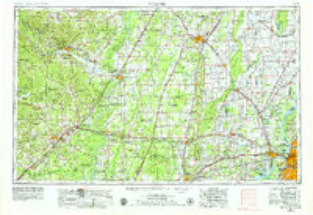
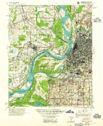
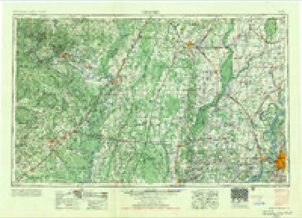
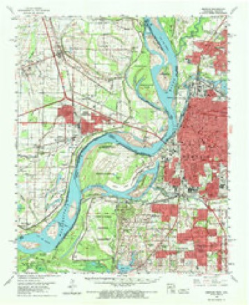
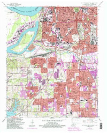
19 topographic sheets cover this place, the earliest surveyed in 1916 and the latest in 1986. It stands in District 9. It lies in ZIP code area 38116. It stands on Mill Branch. The Survey maps it on the Southwest Memphis quadrangle.
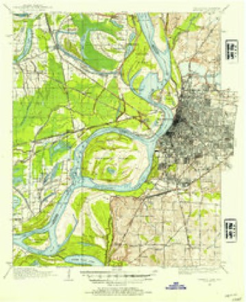
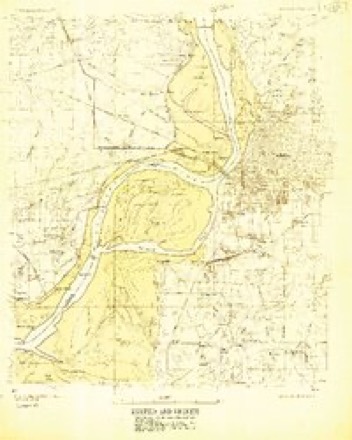
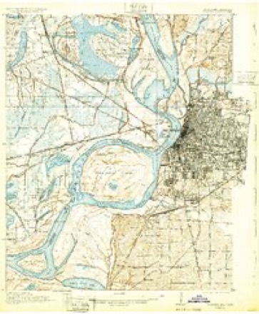
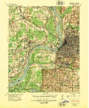
Topographic sheets covering this place
10 surveys from 19 printed sheetsMatched by testing this settlement's coordinate against the published boundary of every sheet in the United States Geological Survey's historical collection. Each opens the scanned sheet at the Survey.
- 1916 USGS Memphis quadrangle1:62500
- 1925 USGS Memphis quadrangle1:48000
- 1927 USGS Memphis quadrangle1:62500, 2 printings
- 1939 USGS Memphis quadrangle1:62500
- 1953 USGS Memphis quadrangle1:250000, 3 printings
- 1955 USGS Memphis quadrangle1:62500
- 1956 USGS Memphis quadrangle1:250000
- 1960 USGS Memphis quadrangle1:62500, 2 printings
- 1965 USGS Southwest Memphis quadrangle1:24000, 5 printings
- 1986 USGS Memphis West quadrangle1:100000, 2 printings
Fires near this place
8 since 1994Regional context, not property-specific evidence. The federal wildfire occurrence database lists 8 fires within 5 miles of Whitehaven between 1994 and 1999, burning about 173 acres in total. None started naturally. None was recorded as arson. Distance is straight-line from the map coordinates, so a fire counted here may appear on a neighbouring settlement's page as well.
| Reported cause | Fires |
|---|---|
| Debris and open burning | 4 |
| Missing data/not specified/undetermined | 1 |
| Railroad operations and maintenance | 1 |
| Misuse of fire by a minor | 1 |
| Smoking | 1 |
The most recent of them, most recent first, with the day each was reported and the service that recorded it.
| Date | Cause | Size | Reported by | Name on the report |
|---|---|---|---|---|
| 26 March 1995 | Debris and open burning | 35 acres | Mississippi Forestry Commission | not named |
| 17 March 1996 | Smoking | 25 acres | Mississippi Forestry Commission | not named |
| 12 March 1996 | Debris and open burning | 25 acres | Mississippi Forestry Commission | not named |
| 28 February 1994 | Misuse of fire by a minor | 3.0 acres | Mississippi Forestry Commission | not named |
| 12 February 1995 | Debris and open burning | 5.0 acres | Mississippi Forestry Commission | not named |
| 2 December 1995 | Debris and open burning | 25 acres | Mississippi Forestry Commission | not named |
| 8 November 1994 | Railroad operations and maintenance | 5.0 acres | Mississippi Forestry Commission | not named |
| 4 October 1999 | Missing data/not specified/undetermined | 50 acres | Mississippi Forestry Commission | not named |
Settlements close enough to share some of these fires:
Mines and quarries near this place
8 within 5 milesRegional context, not property-specific evidence. The federal mineral resources record lists 8 workings within 5 miles of Whitehaven: 4 past producers, 4 producers. 4 still produce. What was taken out: Sand and Gravel, Construction, Clay. Distance is straight-line from the map coordinates, so a quarry counted here may appear on a neighbouring settlement's page as well.
| Where | Site | Commodity | Status | Recorded |
|---|---|---|---|---|
| Memphis Pit | Clay | Past Producer | ||
| #1 Carrier Road Plant Dredge Operation | Sand and Gravel, Construction | Producer | 1968 | |
| Anderson Pit | Sand and Gravel, Construction | Producer | ||
| Dredge 3 | Sand and Gravel, Construction | Producer | ||
| Dudley Anderson Pit | Sand and Gravel, Construction | Producer | Unconsolidated Sediments | |
| Dudley Anderson Pit | Sand and Gravel, Construction | Past Producer | Sedimentary | |
| Dudley Anderson Pit | Sand and Gravel, Construction | Past Producer | ||
| Number 1 Carrier Road Pit | Sand and Gravel, Construction | Past Producer |
Storms near this place
14 since 1995Regional context, not property-specific evidence. The National Weather Service names Whitehaven in 14 storm reports between 1995 and 2025: 5 thunderstorm wind, 5 hail, 3 flash flood, 1 tornado. The reports record 3 deaths and 14 injuries. Each account below is quoted exactly as the forecast office filed it, from the NOAA Storm Events Database, and each date opens the federal record of that event.
| When | Event | Place named | Harm | What the report says |
|---|---|---|---|---|
| February 2008 | Tornado (EF2) | Whitehaven | 3 killed, 13 hurt, $100,000,000 | A tornado continued northeast from DeSoto County, Mississippi. After the tornado crossed into Tennessee, several warehouses sustained damage. The DSC warehouse near Clarke Road was struck causing EF-2 damage. Three people were killed inside the warehouse. Hardy Bottling Company sustained substantial damage as well. Tractor-trailers were tossed about in the area. Windows were shattered in the Willow Lake Business Park and utility poles and trees were snapped in the area. A utility substation sustained severe damage along Clarke Road causing major power outages in the area. The tornado then continued northeast and struck homes along Maple Tree Drive and Pinbranch Court. Five homes received major damage and had to be condemned. Other homes sustained roof damage. The tornado continued northeast and struck the Hickory Ridge Mall causing a wall to collapse at the Sears Department Store. Six injuries occurred at the mall. This damage was estimated at EF-1. The tornado then struck a Taco Bell along Winchester Road before lifting. Thirteen people in all were transported to an area hospital due to injuries sustained from the tornado. |
| May 2008 | Thunderstorm Wind | Whitehaven | 1 hurt, $15,000 | HAM radio operators reported 60 mph wind gusts near the intersection of Shelby Drive and Swinnea. Five power poles were snapped on Shelby Drive. A tree fell on a car on Cullenwood Avenue in Whitehaven and a person was injured. |
| January 2012 | Thunderstorm Wind | Whitehaven | $75,000 | The Welcome To Tennessee sign was blown down on Interstate 55 just north of the Tennessee/Mississippi border. A large roof was blown off of a building and dropped it about 200 feet away. |
| June 2001 | Thunderstorm Wind | Whitehaven | $5,000 | Several trees were blown down. |
| May 1995 | Thunderstorm Wind | Whitehaven | $5,000 | Several trees were knocked down. |
| April 2006 | Hail | Whitehaven | $4,000 | no account filed |
| June 2006 | Thunderstorm Wind | Whitehaven | $2,000 | Some trees were knocked down in the Whitehaven area. |
| April 2008 | Hail | Whitehaven | $1,500 | no account filed |
| February 2000 | Hail | Whitehaven | $10 | no account filed |
| April 2025 | Flash Flood | Whitehaven | - | Roadway is flooded at the intersection of East Holmes Rd and Airways Blvd. |
| July 2012 | Hail | Whitehaven | - | Nickel to quarter size hail fell in Whitehaven. |
| August 2010 | Flash Flood | Whitehaven | - | Heavy rain produced flash flooding in Whitehaven. MillBranch Road was flooded just north of Shelby Drive. |
| July 2010 | Flash Flood | Whitehaven | - | Heavy rain produced flash flooding from Southeast Memphis to Northeast Memphis. Several roads and intersections were flooded as a result including the intersection of Spottswood Avenue and Crossover Lane, the intersection of St. Nick Drive and Marian Avenue, the intersection of Dorset Drive and Helene Road, and the intersection of Sycamore View and Summer Avenue. Park Valley Road and Churchill Street in Southeast Memphis were flooded as well. |
| January 2021 | Hail | Whitehaven | - | no account filed |
Nearest settlements
The eight closest, with where each one stands in the county. Distances are straight-line, computed from the Geographic Names Information System coordinates.
| Map | Place | Distance | Sheets |
|---|---|---|---|
| Raines | 1.3 miles | 19 | |
| Persey | 1.7 miles | 19 | |
| Scaife | 2.1 miles | 16 | |
| Nonconnah | 2.4 miles | 19 | |
| Acklena | 2.5 miles | 19 | |
| East Junction | 3.5 miles | 19 | |
| Goodman | 3.7 miles | 19 | |
| Pisgah Heights | 4.0 miles | 19 |
Provenance
This settlement is recorded in the Geographic Names Information System as feature 1304540. The sheet list is computed by point-in-boundary test against the United States Geological Survey's historical topographic inventory. Both are works of the United States government and carry no copyright under 17 U.S.C. 105.
Wildfire. Short, Karen C. 2022. Spatial wildfire occurrence data for the United States, 1992-2020 [FPA_FOD_20221014]. 6th Edition. Fort Collins, CO: Forest Service Research Data Archive. https://doi.org/10.2737/RDS-2013-0009.6 Collected with United States Government funding and usable without additional permissions or fees.
Mines and quarries. USGS Mineral Resources Data System (MRDS) https://mrdata.usgs.gov/mrds/ A work of the United States government, no copyright under 17 U.S.C. 105.
Storms. NOAA National Centers for Environmental Information, Storm Events Database https://www.ncei.noaa.gov/stormevents/ A work of the United States government, no copyright under 17 U.S.C. 105. Narratives are quoted verbatim from the National Weather Service report and are not edited or summarised.