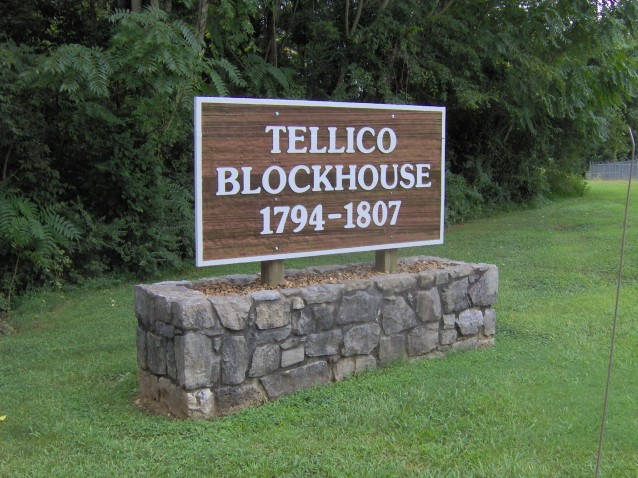
Listed on the National Register of Historic Places in 1975.
From the record
“The Tellico Blockhouse was an early American outpost located along the Little Tennessee River in what developed as Vonore, Monroe County, Tennessee. Completed in 1794, the blockhouse was a US military outpost that operated until 1807; the garrison was intended to keep peace between the nearby Overhill Cherokee towns and encroaching early Euro-American pioneers in the area in the wake of the Cherokee-American wars.”
Wikipedia article Tellico Blockhouse, CC BY-SA 4.0.
One of 15 National Register listings published here for Monroe County · listed in 1975 · category: Site.
National Register reference number. 75001771 - assigned by the National Park Service when the property was listed.
Fires near this property
40 since 1997
Regional context, not property-specific
evidence. The
federal wildfire occurrence database
lists 40 fires within 5 miles of Tellico Blockhouse Site
between 1997 and 2019, burning about 802 acres in total. 1 started naturally. 9 were recorded as arson.
Distance is straight-line from the map coordinates, so a fire counted
here may appear on a neighbouring settlement's page as well.
Reported cause
Fires
Debris and open burning
17
Arson/incendiarism
9
Missing data/not specified/undetermined
6
Smoking
3
Equipment and vehicle use
1
Power generation/transmission/distribution
1
Railroad operations and maintenance
1
Natural
1
Recreation and ceremony
1
The most recent of
them, most recent first, with the day each was reported and the service
that recorded it.
Regional context, not property-specific
evidence. The federal mineral resources record lists
3 workings within 5 miles of Tellico Blockhouse Site: 1 past producer, 1 prospect, 1 producer.
1 still produces. What was taken out: Manganese, Stone, Dimension. Distance is straight-line from the
map coordinates, so a quarry counted here may appear on a neighbouring
settlement's page as well.
Regional context, not property-specific
evidence. The National Weather Service names
Vonore, the town this property stands in, in 29 storm reports between 1995 and 2023: 23 thunderstorm wind, 4 hail, 1 tornado, 1 funnel cloud.
No death or injury is recorded in these reports. Each account below is quoted exactly as the forecast office
filed it, from the NOAA Storm Events Database, and each date
opens the federal record of that event.
The emergency manager reported a barn was destroyed and a roof blown off a house at the intersection of Lakeside Road and Kincaid Road southwest of Vonore. Several other homes and businesses were also damaged in the area.
The NWS storm survey determined a tornado developed near the Hugh Storage Facility 2 miles west southwest Vonore, It was classified as an EF0 tornado with winds estimated at 80 mph and a path width of 50 yards. The tornado produced damage near the Pro-Tex plant.
Newspaper personnel reported heavy tree damage by thunderstorm wind at the Fort Loudoun State Historic area near Vonore. The picnic area was hardest hit.
No historic map-sheet match is published
for this property yet. That does not mean no map exists. This record needs
a coordinate-quality review before it can be joined to a sheet boundary.
Browse the county's mapped places while that work is
pending.
Listed places nearby
3 within 8 miles
Other National Register properties close
enough to walk or drive between, ordered by distance from this one. Both
positions come from the same geocoding pass that matched these properties
to their map sheets.
Listing record. National Park Service National Register of Historic Places, listed-properties dataset, current to 2026-05-22.
Map join. Address geocoded through the United States Census geocoder, then tested against the published boundary of every sheet in the USGS Historical Topographic Map Collection.
How this page is made. Listing fields come from federal records; map-sheet coverage is a labelled coordinate-to-boundary calculation, not a source-field claim.
Wildfire. Short, Karen C. 2022. Spatial wildfire occurrence data for the United States, 1992-2020 [FPA_FOD_20221014]. 6th Edition. Fort Collins, CO: Forest Service Research Data Archive. https://doi.org/10.2737/RDS-2013-0009.6 Collected with United States Government funding and usable without additional permissions or fees.
Mines and quarries. USGS Mineral Resources Data System (MRDS) https://mrdata.usgs.gov/mrds/ A work of the United States government, no copyright under 17 U.S.C. 105.
Storms. NOAA National Centers for Environmental Information, Storm Events Database https://www.ncei.noaa.gov/stormevents/ A work of the United States government, no copyright under 17 U.S.C. 105. Narratives are quoted verbatim from the National Weather Service report and are not edited or summarised.
 Block