Block
BlockFrom the record
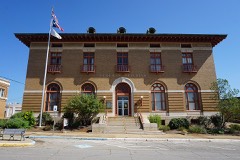
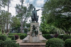
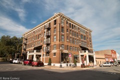
26 National Register listings published here.
Sources: the National Register database, National Park Service
56 topographic sheets and 14 fire insurance atlases across 3 places.
26 National Register listings published here.
Sources: the National Register database, National Park Service
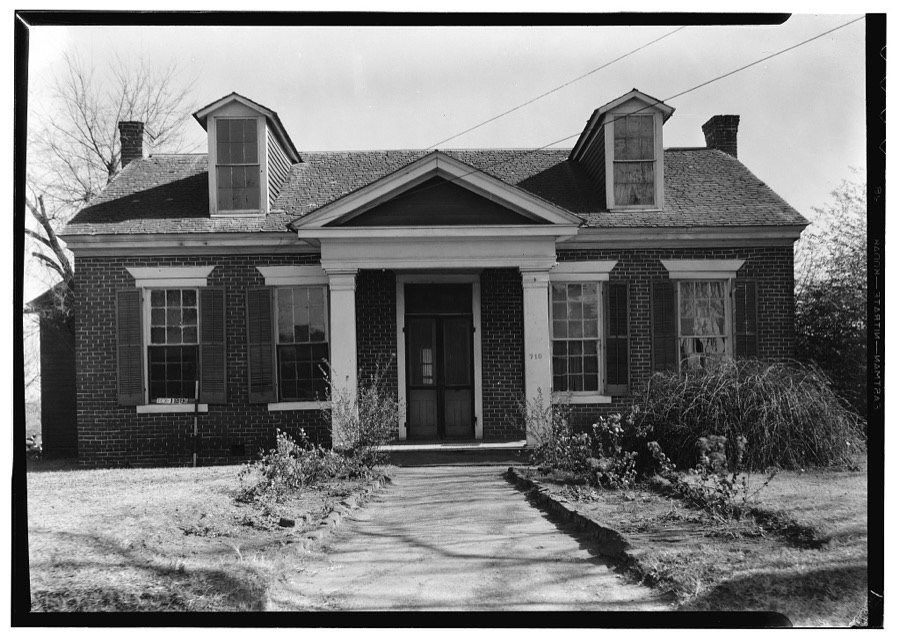
Taken for the Office of War Information and the Farm Security Administration, who photographed the country between 1935 and 1944. Works of United States government photographers, with no known restriction on use. Each opens its catalogue record.




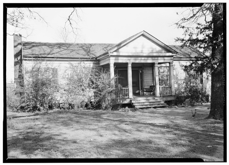
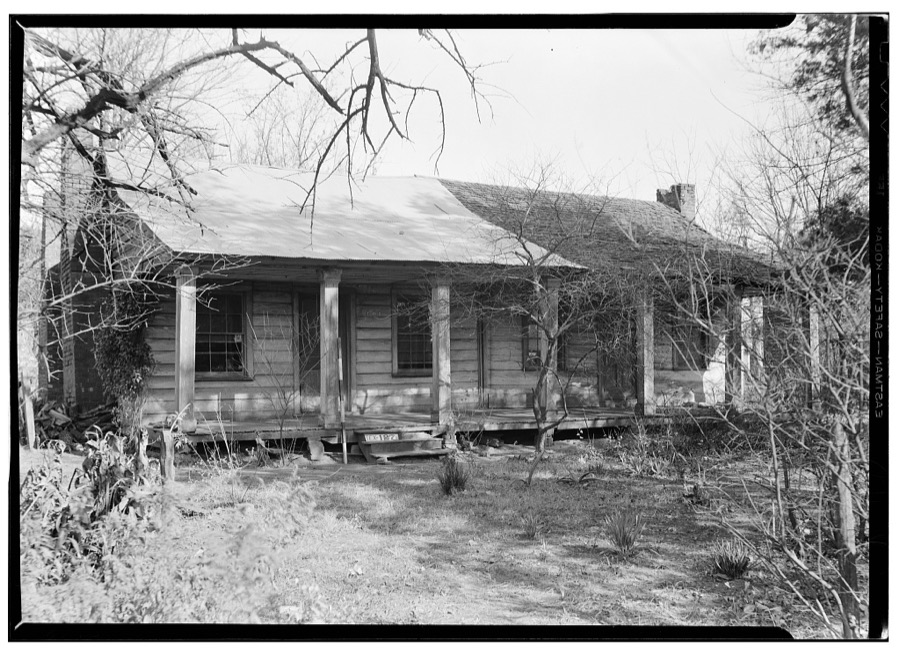
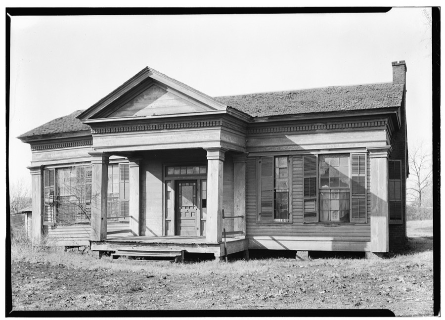
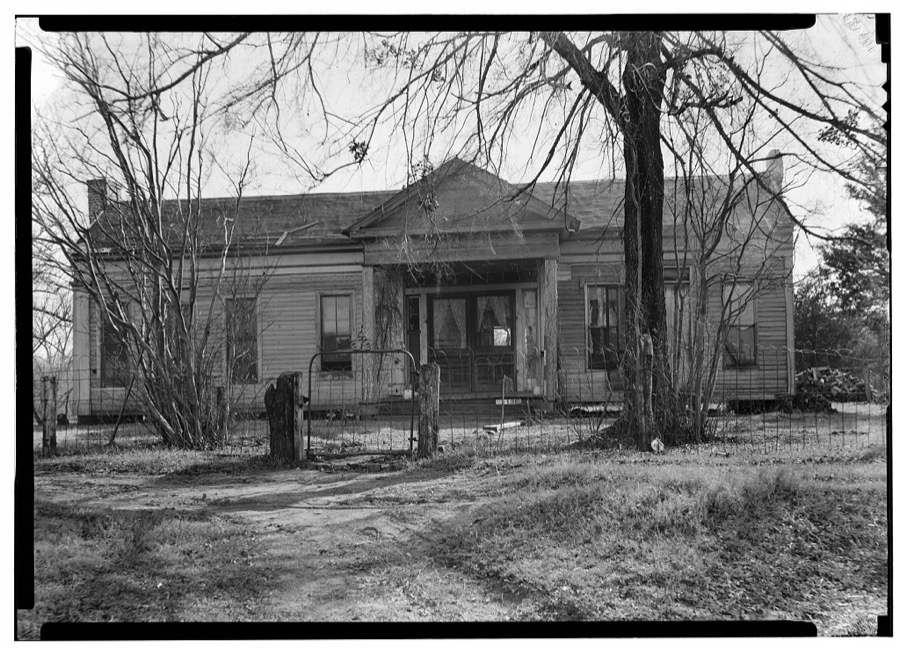
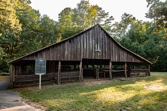
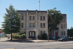
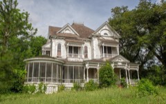
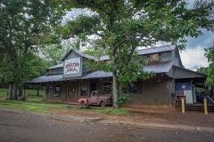
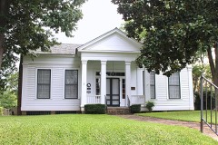
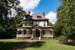
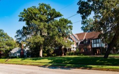
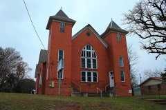
Every property in this county listed on the National Register of Historic Places, with the year it was listed and the federal nomination document.
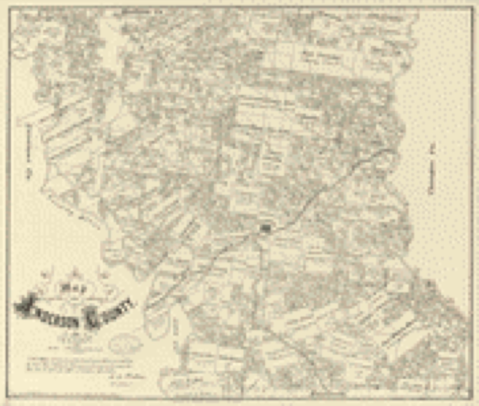
Drawn when these were printed as single large sheets: the town seen from the air, and the county divided into its farms with every owner named. Each opens the original at the Library of Congress.

Selected from the Digital Public Library of America's 12 image records catalogued for this county. Every one shown here carries a public-domain status or a licence that permits reuse on a site that carries advertising; non-commercial, share-alike and restricted images are excluded. The selection is spread across the county's towns (at most eight per town), so no single institution's bulk upload crowds out the rest. Each opens the holding library's record, and the complete set at the Digital Public Library of America is one click away.

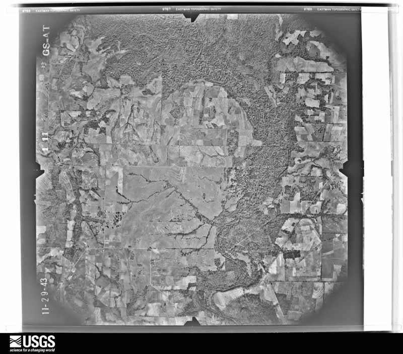
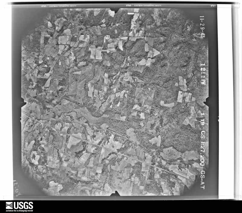
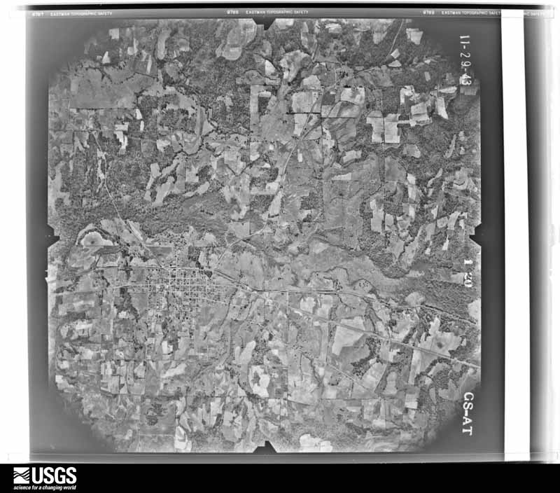
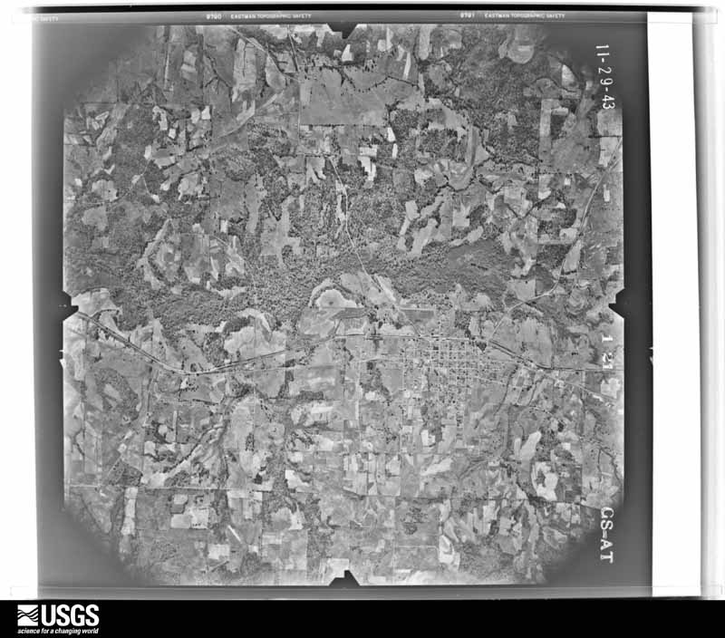
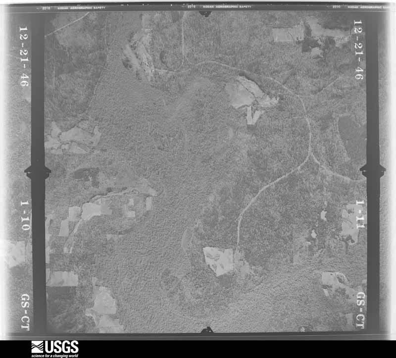
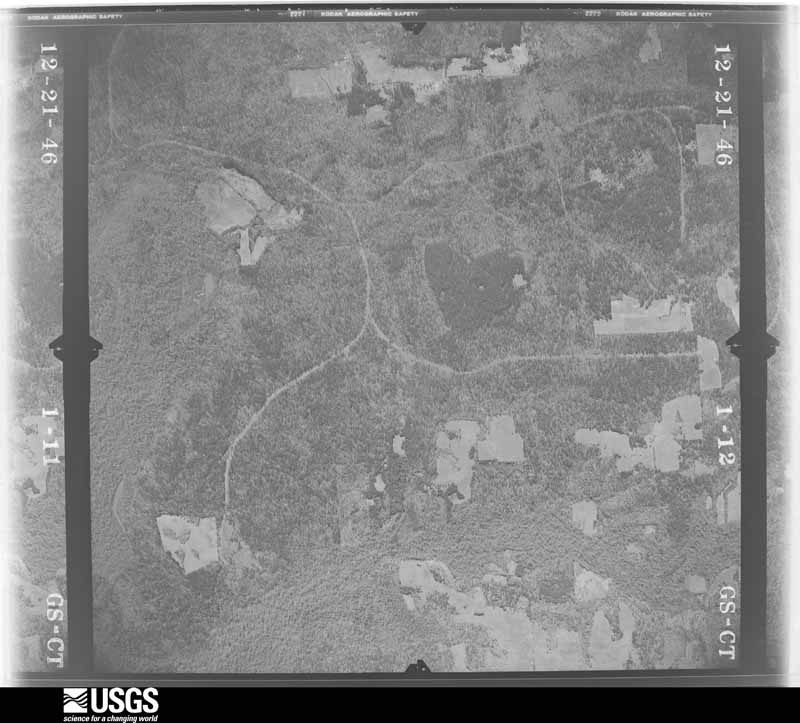
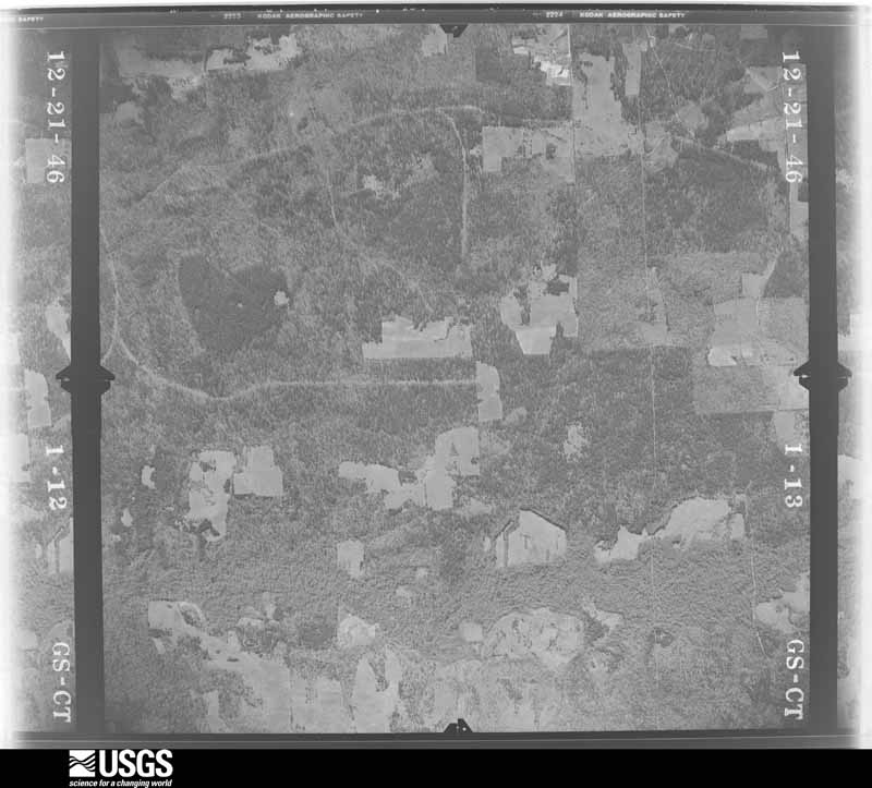
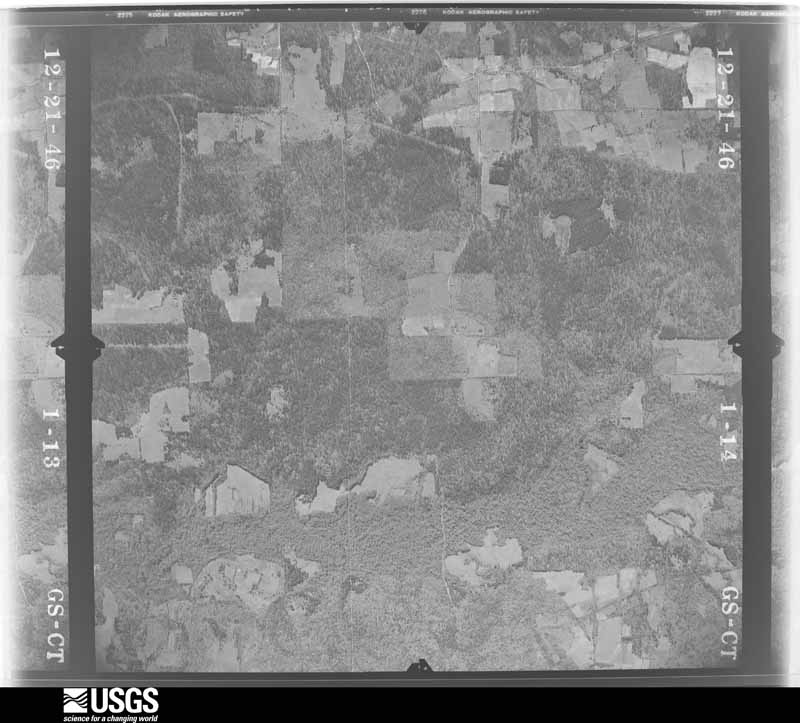
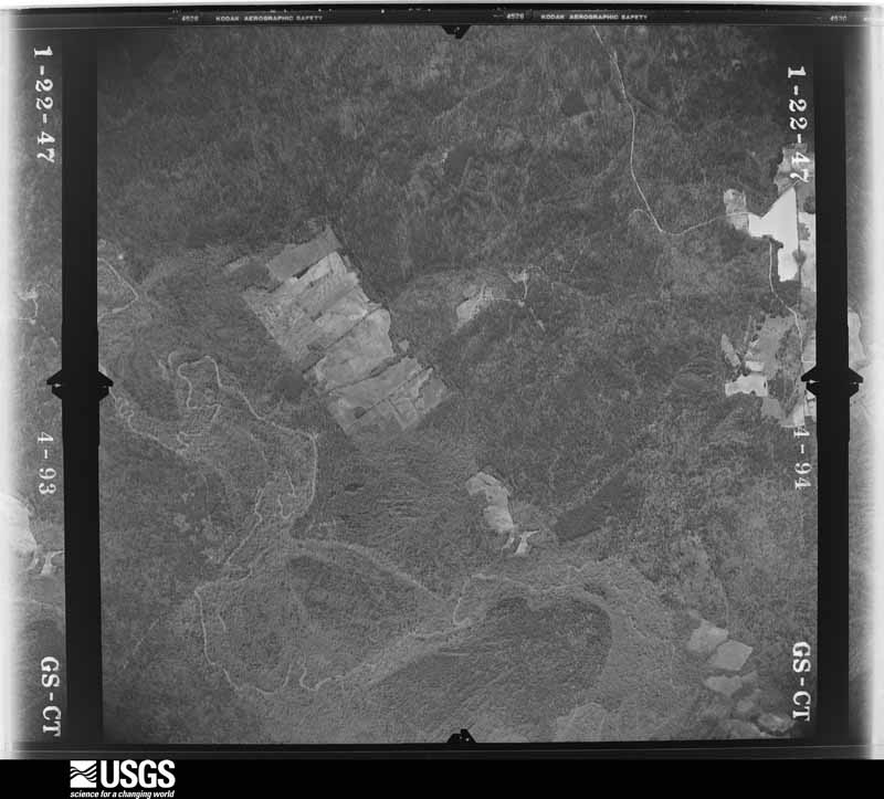
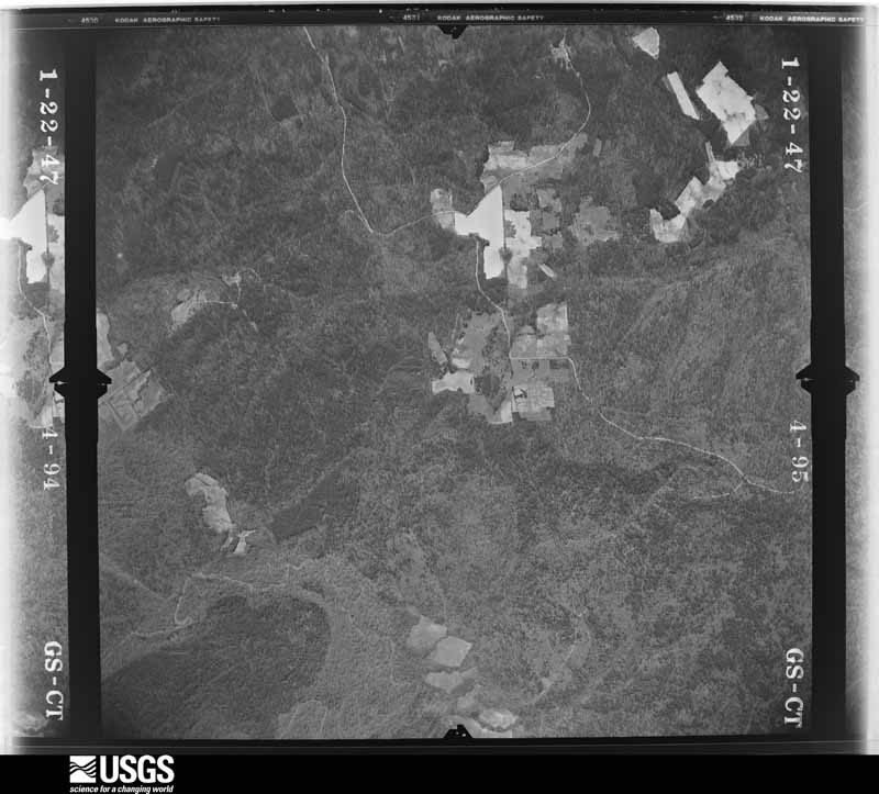
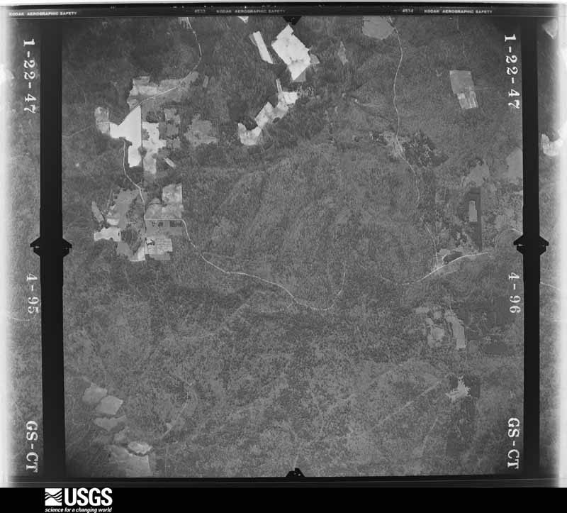
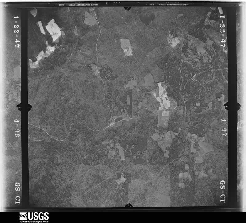
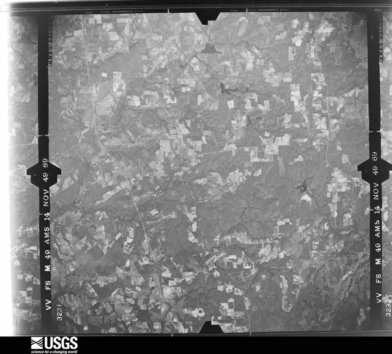
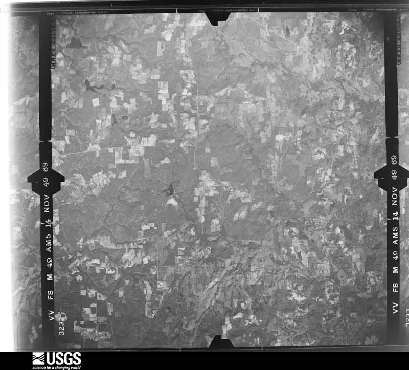
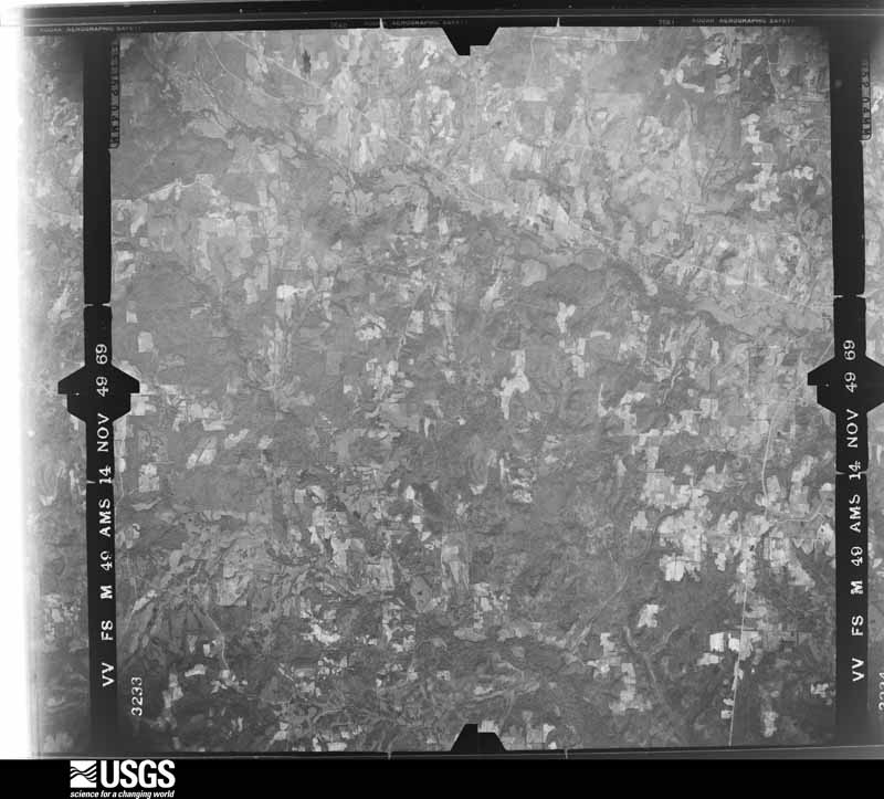
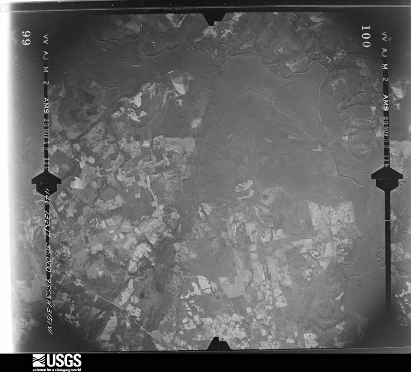
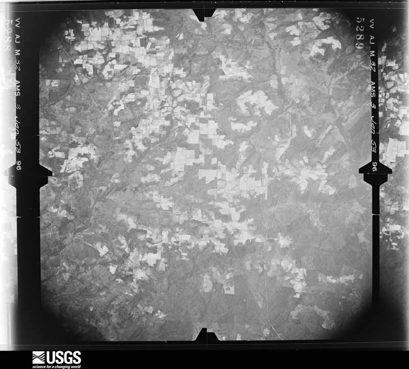
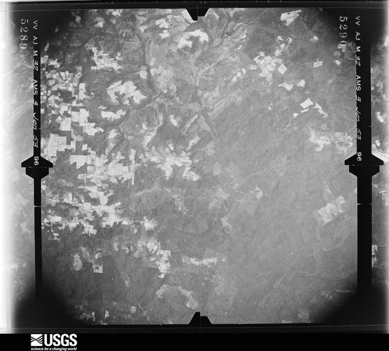
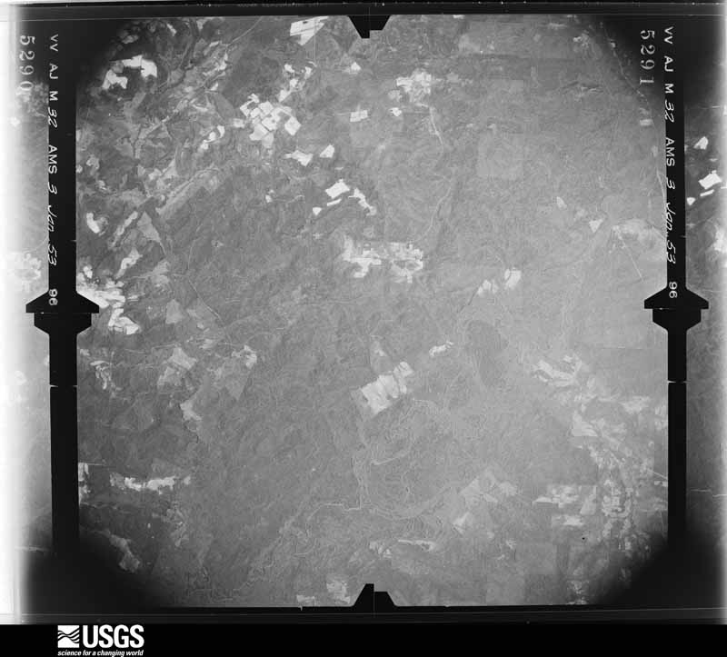
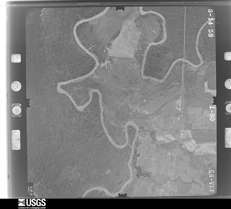
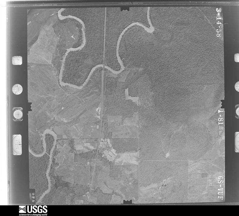
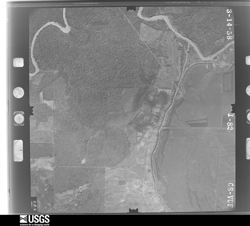
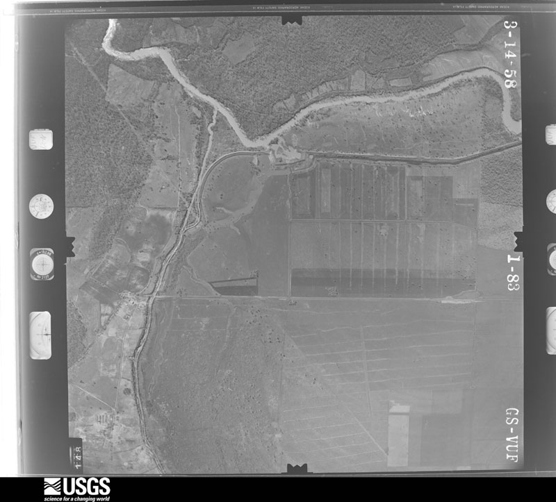
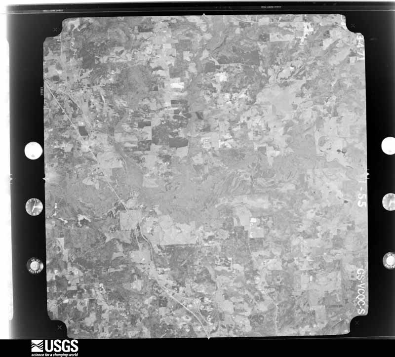
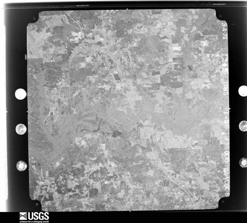
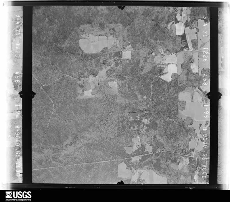
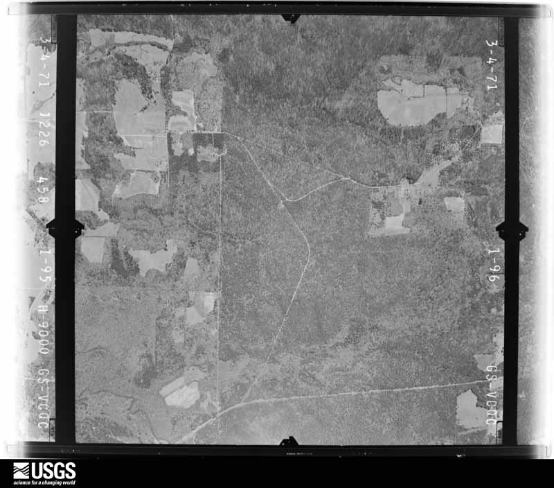
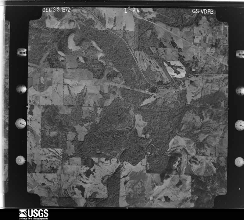
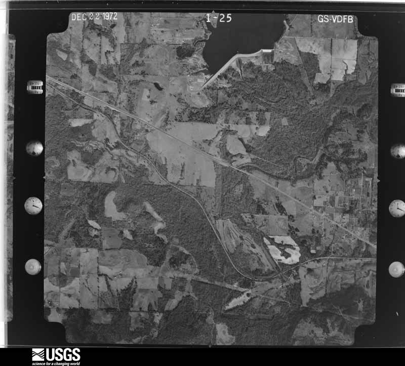
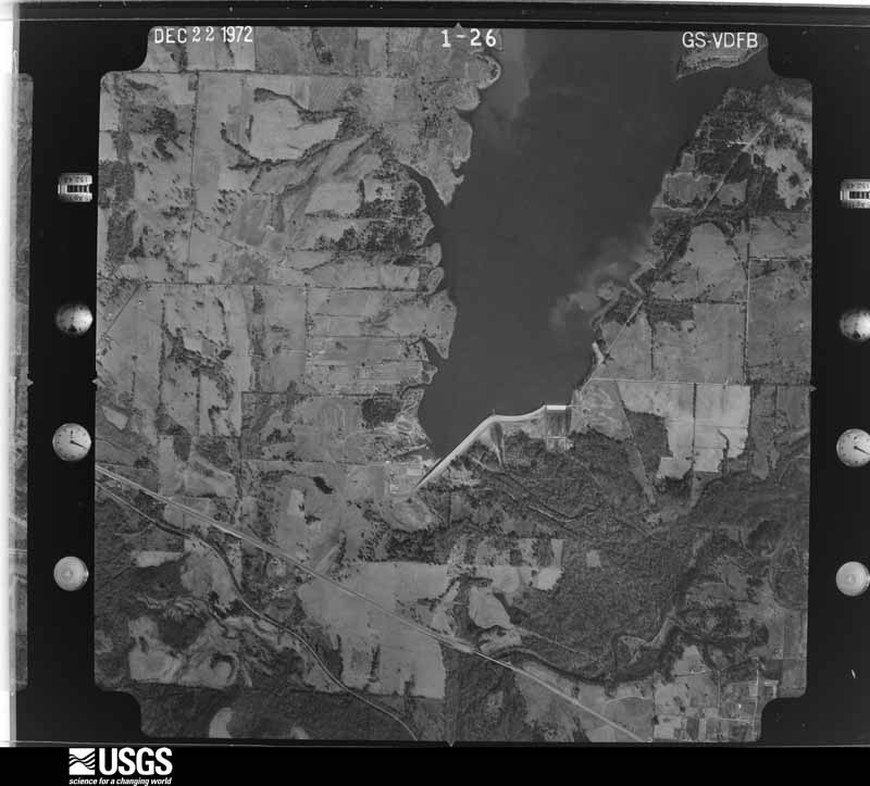
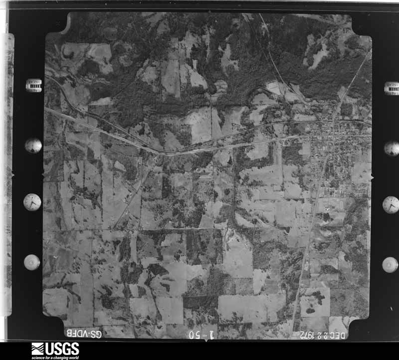
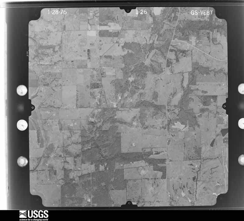
Flown by the U.S. Geological Survey between 1937 and 1989, the Aerial Photo Single Frames collection is the definitive mid-century view of the land: fields, roads and rivers as the camera saw them. The Survey holds 2,317 frames inside the rectangle that bounds this county; the 48 frames below were taken over the county itself, chosen across the decades of flights (at most four a year from that rectangle), so one flight cannot crowd out the rest. The full set is free to browse and download at EarthExplorer under the dataset Aerial Photo Single Frames.
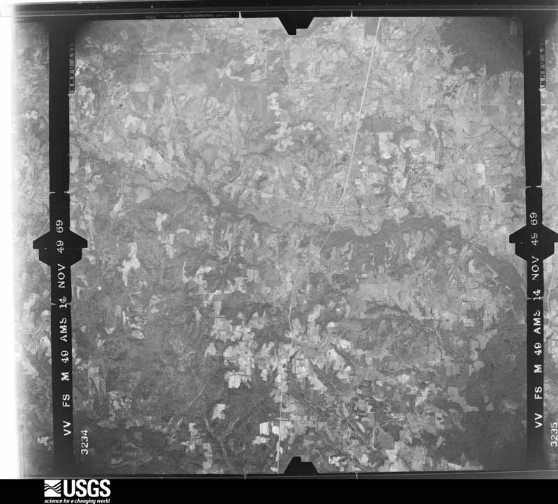
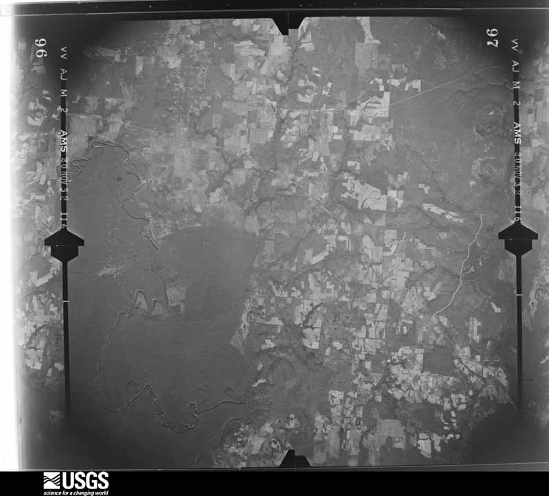
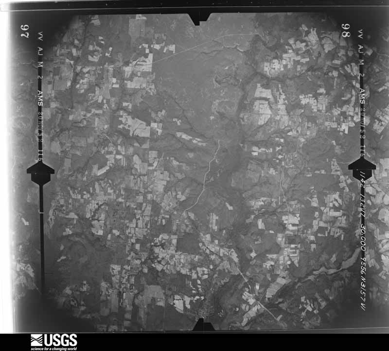
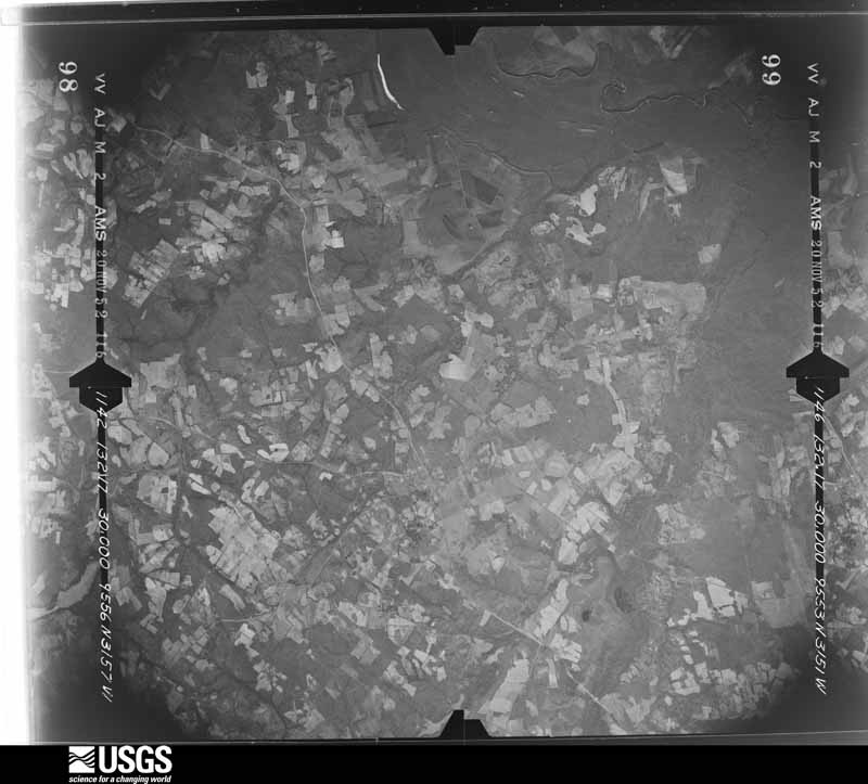
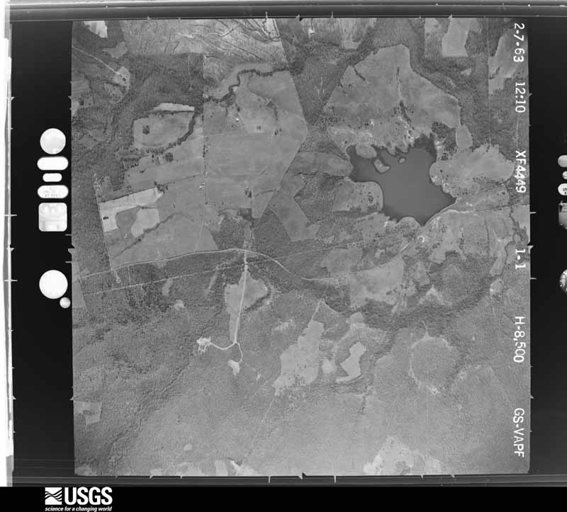
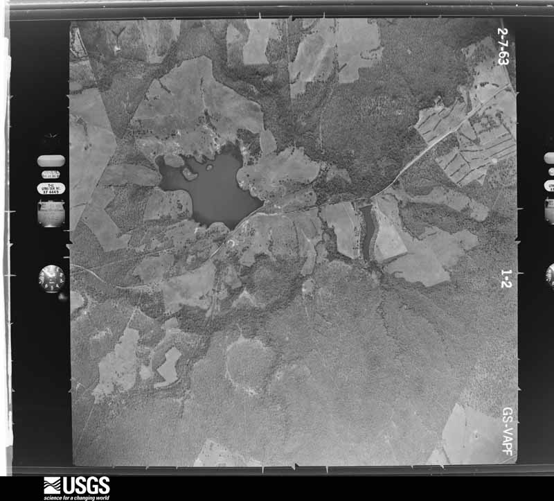
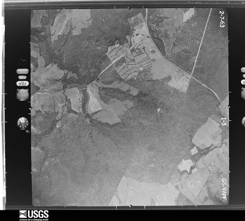
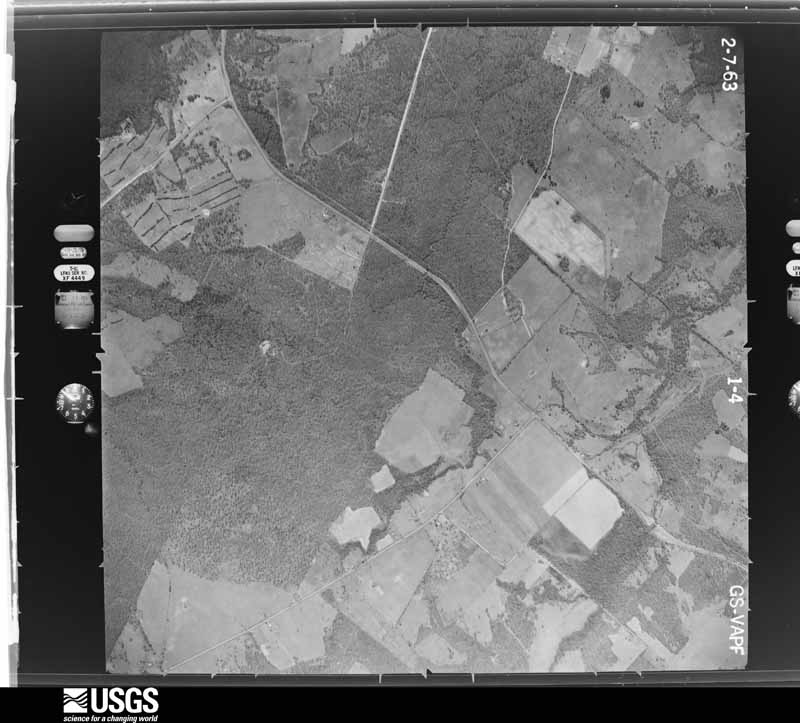




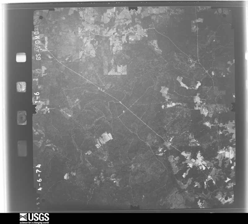
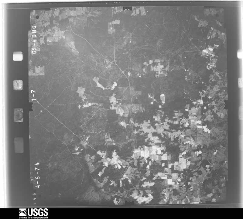
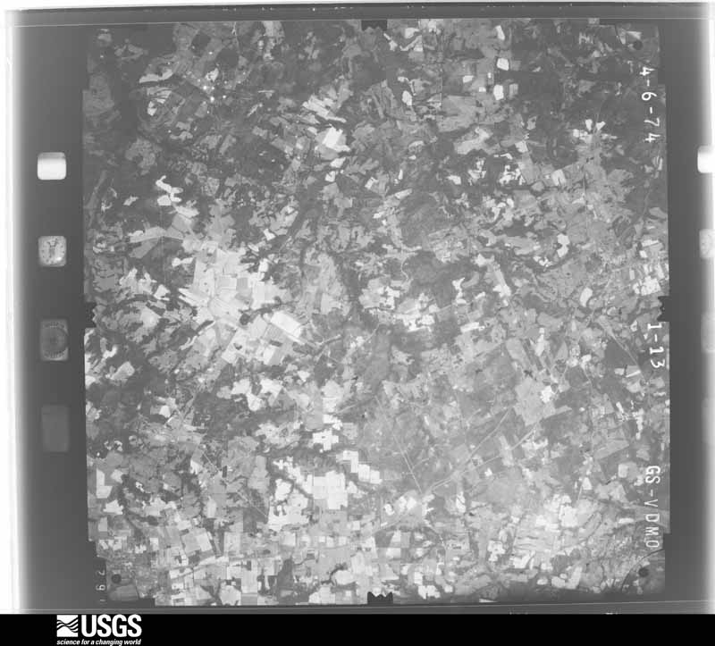
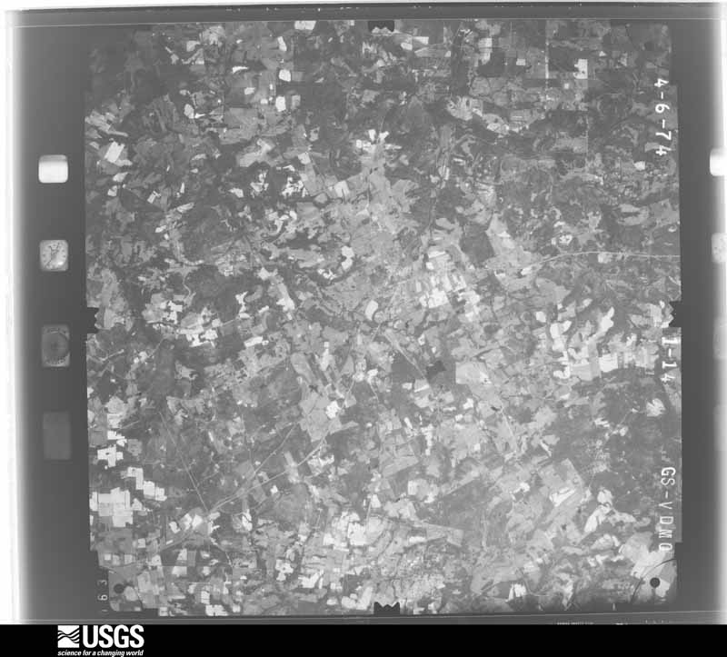
The thermometers that kept this county's weather, and the gages that measured the flow of its streams, as the federal records hold them. The extremes below are measured values from those records, not estimates.
Who lived here in 1950, one enumeration district at a time, as the Census Bureau described each district. Each row opens its official National Archives result, with Population Schedules and ED Maps available there.
Every wildfire the federal occurrence database records inside this county: 2,209 of them, burning about 31,490 acres. 154 started naturally and 96 were recorded as arson. Each settlement page carries the fires within five miles of it.
| Reported cause | Fires |
|---|---|
| Debris and open burning | 1145 |
| Missing data/not specified/undetermined | 443 |
| Equipment and vehicle use | 199 |
| Natural | 154 |
| Arson/incendiarism | 96 |
| Power generation/transmission/distribution | 77 |
| Smoking | 30 |
| Recreation and ceremony | 26 |
| Railroad operations and maintenance | 19 |
| Fireworks | 11 |
| Misuse of fire by a minor | 9 |
The five largest, by the area the report gives. None of them was recorded as arson.
| Date | Cause | Size | Reported by | Name on the report |
|---|---|---|---|---|
| 4 September 2011 | Power generation/transmission/distribution | 3,700 acres | Texas A & M Forest Service | NEW CHAPEL FIRE |
| 5 September 2011 | Power generation/transmission/distribution | 1,400 acres | Texas A & M Forest Service | HENDERSON - 507 |
| 26 December 2005 | Debris and open burning | 607 acres | Texas A & M Forest Service | HENDERSON - 491 |
| 5 September 2000 | Missing data/not specified/undetermined | 600 acres | Texas A & M Forest Service | HENDERSON - 477 |
| 13 August 2000 | Debris and open burning | 600 acres | Texas A & M Forest Service | HENDERSON - 322 |
| 5 September 2011 | Power generation/transmission/distribution | 503 acres | Texas A & M Forest Service | HENDERSON - 504 |
| 15 August 2011 | Power generation/transmission/distribution | 464 acres | Texas A & M Forest Service | TODD CITY FIRE |
| 10 March 2011 | Debris and open burning | 352 acres | Texas A & M Forest Service | RED TOWN RANCH FIRE |
Every settlement page carries the fires within five miles of it - see the settlement index below.
The NOAA Storm Events Database holds 567 reports for this county, causing 11 deaths, 91 injuries and about $38,131,300 in recorded property damage. Each settlement page carries the reports that name it.
| Kind of event | Reports |
|---|---|
| Thunderstorm Wind | 240 |
| Hail | 224 |
| Flash Flood | 46 |
| Tornado | 35 |
| Flood | 13 |
| Lightning | 8 |
| Heavy Rain | 1 |
The most serious of them, by death, then injury, then recorded damage. The accounts are quoted exactly as the forecast office filed them.
| When | Event | Place named | Harm | What the report says |
|---|---|---|---|---|
| April 2016 | Flash Flood | Palestine | 5 killed, $800,000 | Significant and deadly flash flooding happened on Timber Drive in Palestine after 7.5 of water fell in one hour. A family of 5 died in this location while drying to escape the flood waters. Six of 10 homes on the cul-de-sac were completely destroyed by flood waters. Some residents had to be rescued from the roofs of their homes and the water was reported to be 12 feet deep inside some homes. |
| May 2023 | Thunderstorm Wind | Frankston | 2 killed, $500,000 | Tree and roof damage was reported throughout the Frankston area. The roof of a restaurant was also damaged including loss of shingles, partial decking removal and collapse of portions of the awning. One tree fell onto a manufactured house, killing two adults in the home. A post event assessment determined 70-90 mph winds caused the damage. |
| November 1987 | Tornado (F3) | not stated | 1 killed, 59 hurt, $25,000,000 | no account filed |
| March 1987 | Tornado (F1) | not stated | 1 killed, 3 hurt, $25,000 | no account filed |
| April 2016 | Flash Flood | Palestine | 1 killed, $1,000,000 | Nearly 7.5 of rain fell over Palestine in about one hour causing flooding across the city. Cars were flooded in downtown Palestine. Newspapers also reported that businesses and homes in low-lying areas across the city were flooded and damaged. A total of 35 homes sustained major damage and 3 businesses in Old Town Palestine were damaged. the railroad track at Sycamore and Gillespie streets were washed out. Flooding was also reported at Loop 256 and Highway 84 on the east side of Palestine. To the southwest of Palestine, part of Shamrock Drive was washed out. |
| April 2016 | Flash Flood | Deanwright | 1 killed | A 30 year old male died in flood waters on Anderson County Road 370. |
| April 1955 | Tornado (F3) | not stated | 7 hurt, $250,000 | no account filed |
| May 1999 | Tornado (F1) | Tennessee Colony | 4 hurt, $300,000 | Four houses were destroyed and three houses were damaged by a tornado. The tornado also damaged the prison barracks and caused 4 minor injuries. |
| January 1997 | Tornado (F1) | Elkhart | 4 hurt, $50,000 | no account filed |
| October 1974 | Tornado (F3) | not stated | 4 hurt | no account filed |
| February 1984 | Tornado (F2) | not stated | 3 hurt, $2,500,000 | no account filed |
| November 1983 | Thunderstorm Wind | not stated | 2 hurt | no account filed |
| April 1988 | Tornado (F1) | not stated | 1 hurt, $250,000 | no account filed |
| May 2025 | Tornado (EF0) | Frankston | 1 hurt, $50,000 | An EF-0 tornado started west of the town of Frankston, close to Hwy 175 and Anderson CR 303. Initially the tornado damaged trees at a few homes along Hwy 175. As the tornado moved into town, it continued to cause tree damage, breaking large limbs from trunks and uprooting trees. Some of the limbs and trees fell on homes causing damage to roofs. One tree fell through the end of a home causing a non-life threatening injury. In the town of Frankston, the tornado was rated EF-0 with maximum winds of 85 mph. Many of the uprooted trees occurred in already saturated soils, and this was factored into the final wind speed determination. The tornado continued east of town and was tracked by scattered tree damage along CRs 3051 and 309. The tornado likely dissipated before reaching Lake Palestine. |
| April 1999 | Tornado (F0) | Tennessee Colony | 1 hurt, $30,000 | A tornado touched down three times on County Road 2202. Trees were blown down and a barn was destroyed. An eighteen wheeler was turned over and the driver was injured. |
| October 1980 | Tornado (F2) | not stated | 1 hurt, $25,000 | no account filed |
| August 1997 | Heavy Rain | Palestine | 1 hurt, $4,000 | Heavy rain, in excess of 7 inches, that fell in the area saturated soils and weakened the root system of many trees. One tree collapsed onto a car and injured one of its occupants. |
| June 2010 | Flash Flood | Elkhart | $1,000,000 | Numerous roads across the county had significant flash flooding. There were several flooded homes and a house rescue conducted in Palestine. Parts of Highway 315 was washed away and a vehicle was stranded near the town of Elmwood. At least 4 feet of water was over County Road 404 12 miles NNW of Palestine. Several roads in the city of Palestine were closed for several days due to damage suffered by the flood waters. |
| November 1994 | Tornado (F1) | Cayuga | $500,000 | An elementary school was unroofed and a bus barn was destroyed by a tornado. Three homes were also damaged or destroyed. Damage was estimated at $255,000. |
| May 1993 | Tornado (F1) | Frankston | $500,000 | A tornado damaged 20 houses and blew down 10 power line poles. Two cars were destroyed by falling trees. |
| November 1996 | Thunderstorm Wind | Palestine | $500,000 | no account filed |
| October 2010 | Thunderstorm Wind | Palestine | $400,000 | Significant tree damage occurred in Palestine with several large trees falling on roofs. Some trees also fell on cars causing significant damage. The newspaper also reported that several metal portable buildings were blown onto the east loop, and the roof was blown off The Silver Lady on West Oak Street in downtown Palestine. The store sustained significant damage to the interior. Thousands of residents lost power during and after the storm. |
| May 2012 | Lightning | Neches | $250,000 | Lightning started a house fire in the 1400 block of FM 19 in Neches. The brick home, valued at $150,000, was a total loss. |
| December 1987 | Tornado (F1) | not stated | $250,000 | no account filed |
| May 1981 | Tornado (F3) | not stated | $250,000 | no account filed |
| June 1973 | Tornado (F1) | not stated | $250,000 | no account filed |
| March 2025 | Hail | Neches | $200,000 | A public report included pictures of a 3-inch diameter hailstone 10 miles northeast of Palestine. Two other hailstones in the photo appeared to be golf ball sized. |
| January 2008 | Lightning | Palestine Arpt | $200,000 | Lightning struck a house on CR 420, causing heavy damage. Apparently the lightning struck a television antenna on the left side of the house and followed copper wiring inside the house. The house had recently been sold and was listed at $289,000. Two firefighters were treated for minor injuries. |
| July 2007 | Flash Flood | Palestine | $200,000 | Several roads and highways were closed, including CR 448 in the Montalba area and CR 425 off of FM 322. A few bridges were washed out across the county. A 20' x 40' swath of CR 4034 was washed away, stranding several households. A water line servicing about twenty homes was also swept away. |
| December 2006 | Tornado (F1) | Palestine | $200,000 | Structural damage to homes was reported near the intersection of FM 1990 and Highway 294. Roofs were partially removed, trees were blown onto houses, and trees and power lines blown down. One house on CR 2137 just off FM 1990 had the ceiling cave in. In addition, the front porch was completely removed from the house and found in pieces over a hundred yards away. A horse trailer in the backyard was thrown about fifty yards from its original location and landed on its side. |
| May 2012 | Lightning | Palestine | $175,000 | Lightning was believed to have started a house fire in the Quail Valley mobile home park north of Palestine. The single wide mobile home was a complete loss. |
| October 2013 | Flash Flood | Massey Lake | $150,000 | Numerous roads were closed due to flash flooding that resulted from heavy thunderstorms that produced 4-8 of rain across the county in less than 8 hours. Portions of Highway 79 in Palestine were closed. Part of Highway 79 between Palestine and Tucker were also closed. Numerous other roads in Palestine were impassable including Reagan, Azell, Bassett, North Sycamore Rd near Ezell and Green Street. CR 2201 at Salt Works Rd, and CR 2715 and 2301 were also closed. One home on CR 2301 was flooded with 6 of water when Lake Creek overflowed its banks. FM 312 in Frankston was washed out. FM 321 at HWY 287 in Tennessee Colony was impassable. FM 321 between Tennessee Colony and Neches was closed in some places. FM 320 was closed near Harmony. A woman was trapped in her vehicle on FM 645 in Tucker due to high water, and FM 645 north of Tucker was also partially closed. Also, parts of FM 315, US 79 from Westwood to FM 645, FM 645 to FM 320, CR 2054, FM 321 to CR 2706, CRs 2223, 2401, 2504, 2303, & 2311 were closed or damaged. In many locations, it took the water several days to recede or the roads were closed for at least a week due to damage to the roads and/or culverts. |
| January 2012 | Thunderstorm Wind | Bethel | $110,000 | A mobile home was completely destroyed by a downburst near Highway 287 and FM 2706 in the Bethel area. The single-wide home was sitting on a pier and beam concrete foundation, but the entire home was torn apart by winds estimated around 100 mph. On the same property, a vehicle was turned over and two tractor trailers were blown over. |
| May 2024 | Thunderstorm Wind | Slocum | $100,000 | Emergency management reported numerous trees an power lines down along Highway 294 from Elkhart to Slocum. Some trees fell onto homes and vehicles. |
| May 2013 | Thunderstorm Wind | Cayuga | $80,000 | The Cooke County Emergency Manager and a Cooke County Commissioner reported several large trees were blown down. The tree damage was concentrated in the southern third of the county, along or near County Roads 337, 328 and 348. One mobile home in the same area suffered severe damage. |
| March 1995 | Thunderstorm Wind | Neches | $75,000 | High winds blew down a tree onto a mobile home destroying it. Two other homes and five barns were also damaged by high winds. |
| July 2012 | Lightning | Slocum | $60,000 | The Anderson County Sheriff reported two oilfield storage tanks were struck by lightning, causing both tanks to catch fire. The tanks were along Anderson County roads 187 and 1224, near State Highway 294. |
| October 2008 | Tornado (EF0) | Tennessee Colony | $55,000 | A tornado touched down just west of Tennessee Colony and moved towards Montalba. A metal roof was removed from a mobile home on FM 2709 and a barn was heavily damaged. Numerous trees were twisted and broken with their leaves stripped off. On Highway 287, a mobile home was damaged and a huge tree was felled, damaging a carport and two vehicles. Shingles were also missing from roofs in this area. A barn east of Highway 287 was blown down. In Montalba, trees and power lines were downed. |
| June 2023 | Thunderstorm Wind | Palestine Arpt | $50,000 | Structure damage to chicken houses occurred at Sanderson Farms southwest of Palestine. Most of the damage was to the roofing material but some wood beam damage was also observed. |
| April 2022 | Thunderstorm Wind | Bethel | $50,000 | Strong thunderstorm winds ranging from 50-70 mph moved across the northern portions of Anderson County. According to the summary report from local EMs:|A home on St Hwy 19N between Bradford and Bois D'Arc sustained wind damage to the back patio (metal roof torn up), tin off the barn, and huge tree branch in driveway that pulled down power meter/line at this location.||A home in the 4200 block of FM 860 had a large tree uprooted in the front yard that did damage to the front of the porch area of the home.||A home on FM 2706 had metal from the barn blown across the yard and onto neighbor property. Large tree was knocked down in the driveway. ||Several trees down across ACR 462, 463, 2601, 489, 458, 2101, 441. FM roads affected with trees down were FM 860, 837, 2330, 19.||Frankston had trees/powerlines down at ACR 309, 307, Lakeview MH park, 296 Kickapoo and FM 19 and ACR 322.||Trees and power lines were down on Hwy 19N in the Bradford/Montalba area as well. |
| October 2015 | Flash Flood | Cayuga | $50,000 | Flood waters were reported over a bridge on Highway 287 near Cayuga. High water was also reported on FM 59 north of Cayuga. |
| January 1999 | Lightning | Cayuga | $50,000 | A church was destroyed by fire after a lightning strike. |
| March 1995 | Thunderstorm Wind | Elkhart | $50,000 | High winds damaged five homes and blew down several trees. |
| May 1994 | Thunderstorm Wind | Palestine | $50,000 | A packing plant was unroofed by high winds. |
| October 1994 | Thunderstorm Wind | not stated | $50,000 | Many county roads were closed due to fallen trees. |
| November 1994 | Thunderstorm Wind | Cayuga | $50,000 | A house was unroofed by high winds. |
| May 2007 | Flash Flood | Frankston | $40,000 | Heavy rain caused a bridge on CR 326 and a culvert on CR 354 to wash out. |
| April 2006 | Thunderstorm Wind | Palestine | $40,000 | Trees were blown down in roads in and around Palestine. In Neches, a 68-foot porch was entirely ripped off of a house and was strewn 100 feet away. Shingles were also torn off the roof. Also in Neches, more than 15 large trees and numerous power lines were uprooted near FM 2574, a trampoline was thrown across a highway into a tree, and numerous chicken coops were destroyed. A truck later ran into one of the trees laying across FM 2574. |
| October 2008 | Thunderstorm Wind | Tennessee Colony | $35,000 | A tower was damaged at a prison and an eighteen wheeler tractor-trailer was blown over. On FM 321, four houses had shingles missing, two sheds were damaged, and numerous trees had been blown down and some had their tops sheared off. Power lines were downed by trees and large limbs. |
| June 2025 | Flash Flood | Palestine | $30,000 | The emergency manager reported about 3 to 4 inches of rain. In Palestine, water had been running over the road near 325 Spring Street, and cars were stalled in water near 936 W Oak. |
| June 2025 | Flash Flood | Bethel | $30,000 | EM reported road washed out due to flooding at CR 2608 near Tennessee Colony. |
| January 2010 | Thunderstorm Wind | Bradford | $30,000 | A large tree fell on top of a residence and three tractors and three pickups parked outside also were damaged. Another residence suffered damage to its tin roof and lost siding off the side of the house. |
| May 2009 | Thunderstorm Wind | Elkhart | $30,000 | Numerous trees were knocked down in the Elkhart, Slocum, and Denson Springs areas. An elderly resident had to be helped out of her mobile home on CR 1231 in the Elkhart area after a tree fell on it. Some of the trees that were uprooted were several feet in diameter. |
| May 2007 | Flash Flood | Palestine | $30,000 | CR 425 was underwater and had to be barricaded. In addition, a large section of CR 2232 washed away, leaving residents stranded without another road to use. The flooding broke a large pipe under the road and left a hole about eight feet wide and twelve feet across. The school bus could not pick up children, the mail could not be delivered, and the trash could not be picked up. |
| December 2006 | Tornado (F1) | Palestine | $30,000 | A tornado formed near the intersection of CR 403 and CR 404 and moved north to near Elmwood, causing damage to homes, trees, sheds, and power lines. Trees were split, twisted, and uprooted. The county judge surveyed the damage and found the worst to be between FM 315 and CR 404. |
| May 2005 | Thunderstorm Wind | Frankston | $30,000 | A large tree fell on a carport and damaged a car. Also, at least 5 power lines were knocked down. |
| June 2023 | Thunderstorm Wind | Elkhart | $25,000 | Emergency management reported 3 homes with minor damage and multiple trees down in Elkhart. |
| June 2012 | Lightning | Palestine | $25,000 | Lightning started a house fire on Sylvan Avenue in Palestine. |
| May 2009 | Thunderstorm Wind | Salmon | $25,000 | A home on HWY 287 south of Elkhart and about 10 miles north of Grapeland had its front porch ripped off and half of its roof torn off. The roof was laying about a 100 yards from the house. Water damage occurred inside the house as a result. |
| June 2009 | Thunderstorm Wind | Tennessee Colony | $25,000 | Roofs were ripped off two houses in Tennessee Colony. |
The Survey's mineral resources record lists 16 workings inside this county. 5 still produce and 11 are closed or unrecorded. Each settlement page carries the workings within five miles of it.
| Commodity | Workings |
|---|---|
| Halite | 3 |
| Salt | 2 |
| Clay | 2 |
| Phosphorus-Phosphates | 2 |
| Limestone, Ultra Pure | 1 |
| Halite, Limestone, General, Gypsum-Anhydrite | 1 |
| Halite, Gypsum-Anhydrite, Limestone, General | 1 |
| Gypsum-Anhydrite, Halite | 1 |
| Talc-Soapstone, Ball Clay | 1 |
| Sand and Gravel, Construction | 1 |
| Stone, Crushed/Broken | 1 |
| Aluminum, Contained or Metal | 1 |
The least common of them first, because a county's hundredth gravel pit says nothing its first ten did not.
| Where | Site | Commodity | Status | Recorded |
|---|---|---|---|---|
| (Facility) Aluminum Co of America Smelter | Aluminum, Contained or Metal | Plant | ||
| Bethel Salt Dome | Halite, Limestone, General, Gypsum-Anhydrite | Occurrence | 1927 | |
| Brushy Creek Salt Dome | Halite, Gypsum-Anhydrite, Limestone, General | Occurrence | Anhydrite, Calcite, Celestite, Halite | |
| Jomack Pit & Plant | Sand and Gravel, Construction | Producer | ||
| Keechi Salt Dome | Gypsum-Anhydrite, Halite | Occurrence | Anhydrite, Halite | |
| Palestine Limestone | Stone, Crushed/Broken | Unknown | ||
| Palestine Mine | Halite, Limestone, Ultra Pure | Past Producer | 1891, 1904, 1937 | |
| Southern Clay Products Plant | Talc-Soapstone, Ball Clay | Producer | ||
| Keechi | Salt | Unknown | ||
| Palestine Pit | Clay | Past Producer | ||
| Palestine Salt | Salt | Unknown | ||
| Pasadena Fertitex Phos. Acid Pl. | Phosphorus-Phosphates | Past Producer | ||
| Pasadena Mobil Phos. Acid Plant | Phosphorus-Phosphates | Producer | 1966 | |
| Texas Clay Industries Inc Operation | Clay | Producer | ||
| Concord Salt Dome | Halite | Occurrence | 1942 | |
| Elkhart Salt Dome | Halite | Occurrence | 1937 |
Named settlements recorded in the Geographic Names Information System, each with the topographic sheets covering it. Villages, hamlets and abandoned places alike. Each is shown with the nearest named watercourse or landform and the survey quadrangle it falls on. The 3 places that were also surveyed for fire insurance come first, with the number of atlases and photographs held for them.
Elkhart census division · 75839 · On Parker Branch · Southeast Palestine quadrangle
10 sheets, 1951 to 1984
Fire insurance: 2 atlases
Frankston census division · 75763 · On Caney Branch · Poynor quadrangle
15 sheets, 1949 to 1991
Fire insurance: 3 atlases
Palestine census division · 75801 · Northwest Palestine quadrangle
13 sheets, 1949 to 1984
Fire insurance: 9 atlases
Montalba-Tennessee Colony census division · 75853 · Blackfoot quadrangle
12 sheets, 1949 to 1984
Montalba-Tennessee Colony census division · 75803 · Blackfoot quadrangle
12 sheets, 1949 to 1984
Montalba-Tennessee Colony census division · 75803 · Blackfoot quadrangle
12 sheets, 1949 to 1984
Palestine census division · 75839 · On Saddler Creek · Southeast Palestine quadrangle
10 sheets, 1951 to 1984
Palestine census division · 75801 · On Snake Creek · Southeast Palestine quadrangle
10 sheets, 1951 to 1984
Palestine census division · 75801 · Southeast Palestine quadrangle
10 sheets, 1951 to 1984
Palestine census division · 75801 · On White Oak Creek · Neches quadrangle
11 sheets, 1951 to 1984
Frankston census division · 75803 · On Indian Creek · Poynor quadrangle
15 sheets, 1949 to 1991
Cayuga census division · 75861 · On Saline Branch · Yard quadrangle
12 sheets, 1949 to 1984
Palestine census division · 75801 · On Stills Creek · Neches quadrangle
11 sheets, 1951 to 1984
Palestine census division · 75801 · On Sumac Branch · Neches quadrangle
11 sheets, 1951 to 1984
Palestine census division · 75801 · On Snake Creek · Slocum quadrangle
11 sheets, 1952 to 1984
Elkhart census division · 75801 · Southwest Palestine quadrangle
10 sheets, 1951 to 1984
Montalba-Tennessee Colony census division · 75861 · Tennessee Colony quadrangle
12 sheets, 1949 to 1984
Montalba-Tennessee Colony census division · 75853 · Wilkerson Mountain quadrangle
13 sheets, 1949 to 1984
Elkhart census division · 75844 · Near Houston Mound · Percilla quadrangle
10 sheets, 1952 to 1984
Palestine census division · 75803 · Northeast Palestine quadrangle
13 sheets, 1949 to 1984
Palestine census division · 75779 · Near Daly Mountain · Neches quadrangle
11 sheets, 1951 to 1984
Palestine census division · 75801 · On White Oak Creek · Neches quadrangle
11 sheets, 1951 to 1984
Montalba-Tennessee Colony census division · 75853 · Blackfoot quadrangle
12 sheets, 1949 to 1984
Montalba-Tennessee Colony census division · 75861 · Tennessee Colony quadrangle
12 sheets, 1949 to 1984
Palestine census division · 75801 · On Mack Creek · Southwest Palestine quadrangle
10 sheets, 1951 to 1984
Montalba-Tennessee Colony census division · 75853 · On Holly Spring Branch · Blackfoot quadrangle
12 sheets, 1949 to 1984
Palestine census division · 75801 · On Smith Branch · Northeast Palestine quadrangle
13 sheets, 1949 to 1984
13 topographic sheets and 9 fire insurance atlases, 1885 to 1949
15 topographic sheets and 3 fire insurance atlases, 1925 to 1939
The complete index, with nothing left out. Each of these is a separate record with its own page: a federal survey report, or the case file that argued a property on to the National Register. Both are public domain and reproduced word for word.