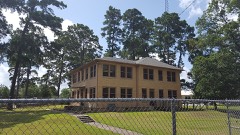
Block
BlockFrom the record
41 National Register listings published here.
Sources: the National Register database, National Park Service
74 topographic sheets and 6 fire insurance atlases across 1 place.
41 National Register listings published here.
Sources: the National Register database, National Park Service
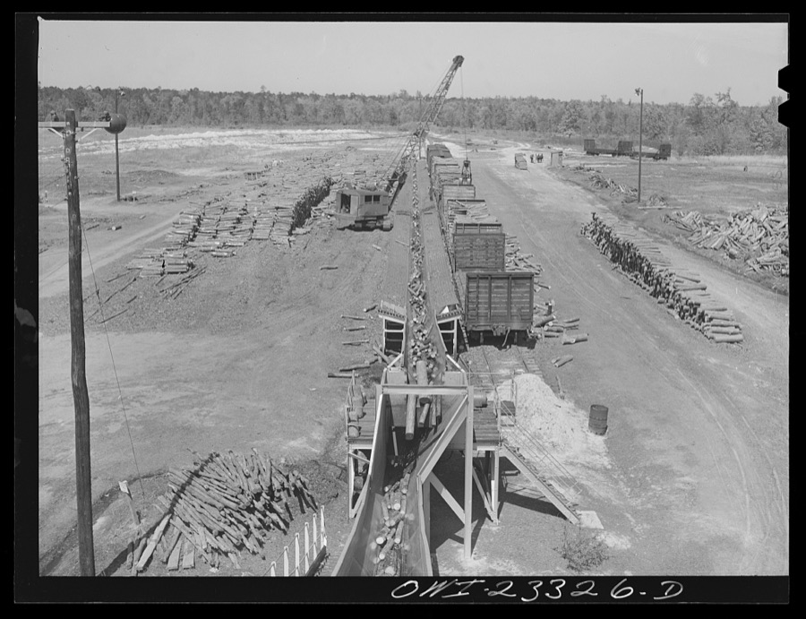
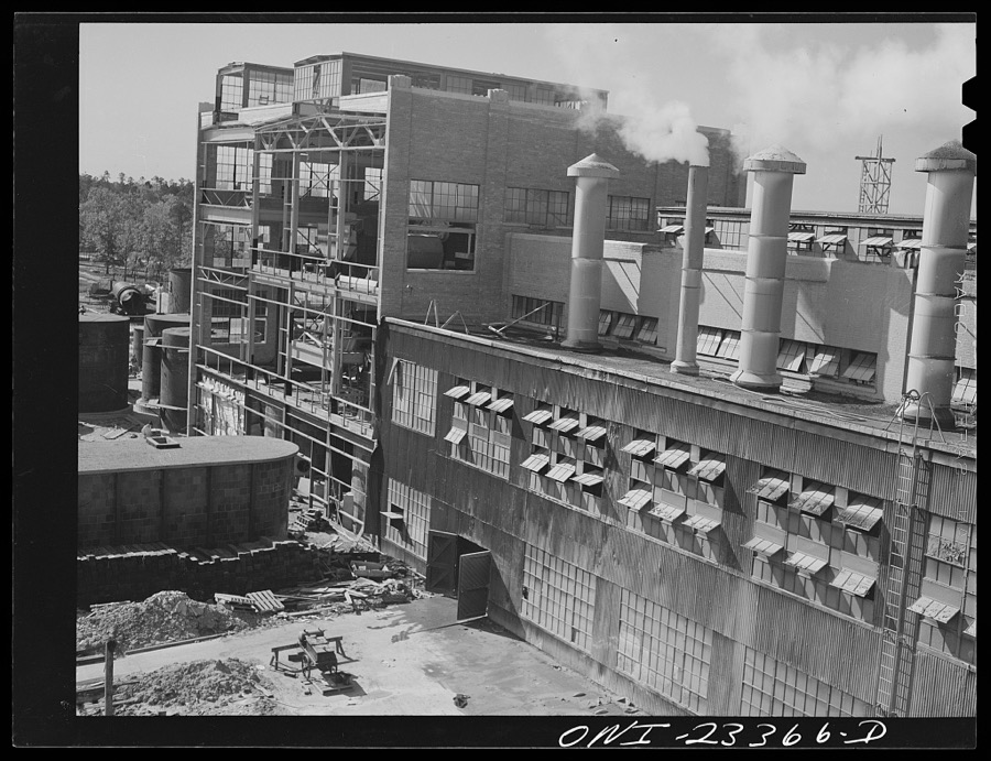
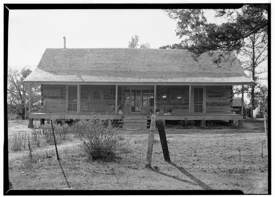
Taken for the Office of War Information and the Farm Security Administration, who photographed the country between 1935 and 1944. Works of United States government photographers, with no known restriction on use. Each opens its catalogue record.
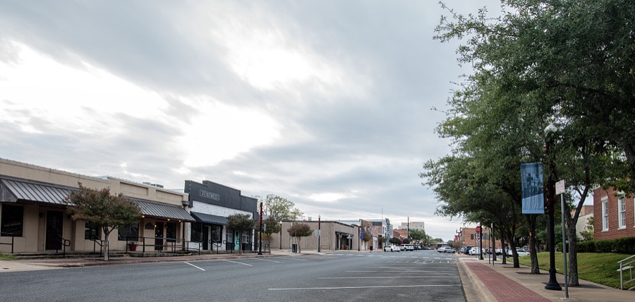





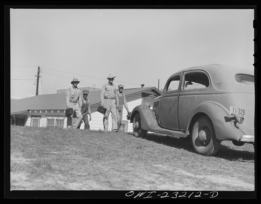



















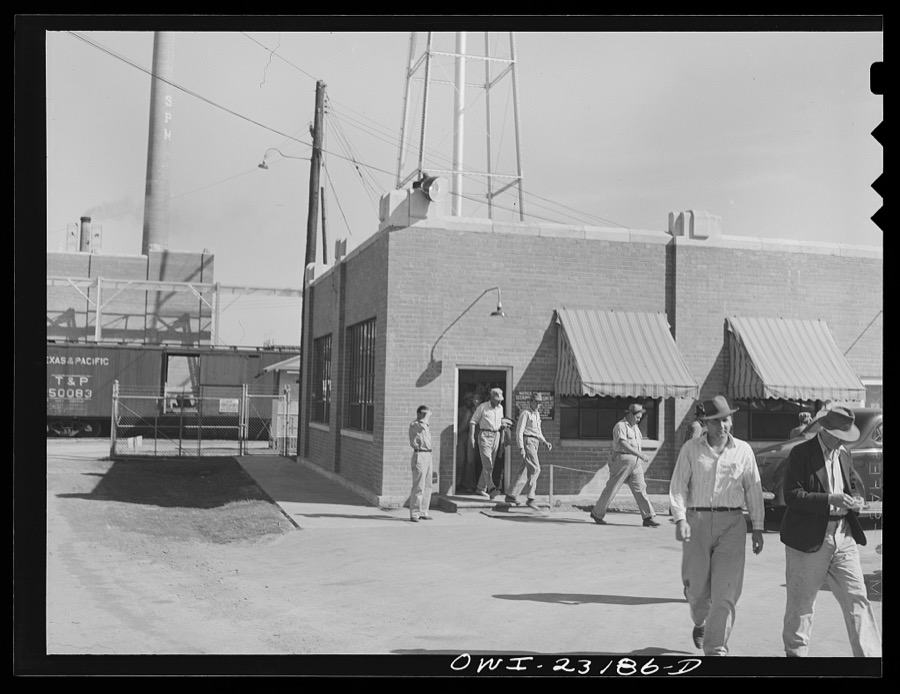







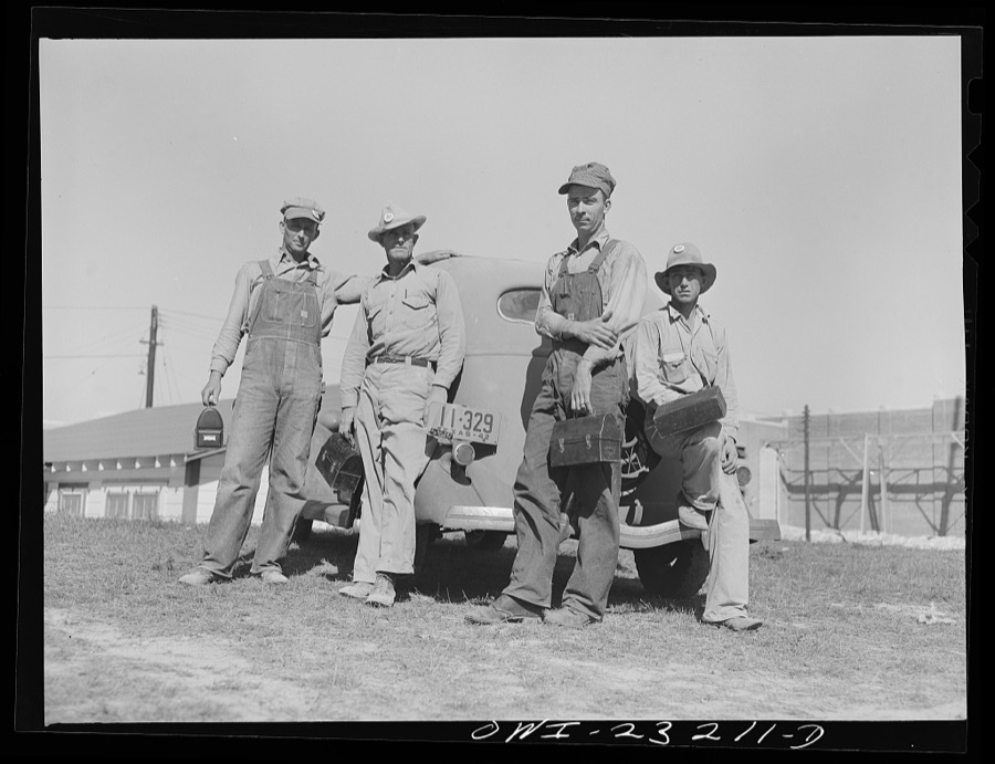

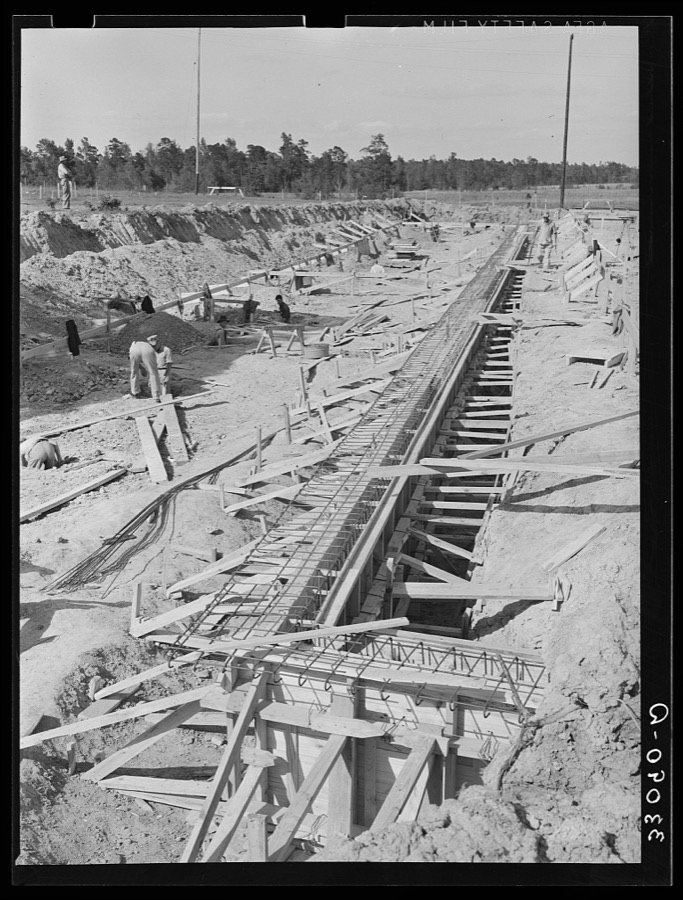

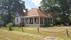
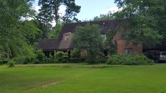
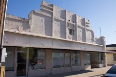
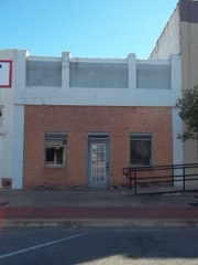
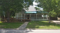
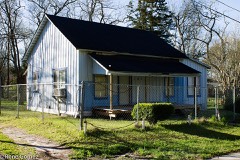
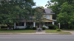
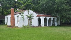
Every property in this county listed on the National Register of Historic Places, with the year it was listed and the federal nomination document.
Drawn when these were printed as single large sheets: the town seen from the air, and the county divided into its farms with every owner named. Each opens the original at the Library of Congress.


![Land ownership map, 1879 - Zavalla [sic.] County](assets/locview_2012592130.jpg)
Selected from the Digital Public Library of America's 1 image records catalogued for this county. Every one shown here carries a public-domain status or a licence that permits reuse on a site that carries advertising; non-commercial, share-alike and restricted images are excluded. The selection is spread across the county's towns (at most eight per town), so no single institution's bulk upload crowds out the rest. Each opens the holding library's record, and the complete set at the Digital Public Library of America is one click away.
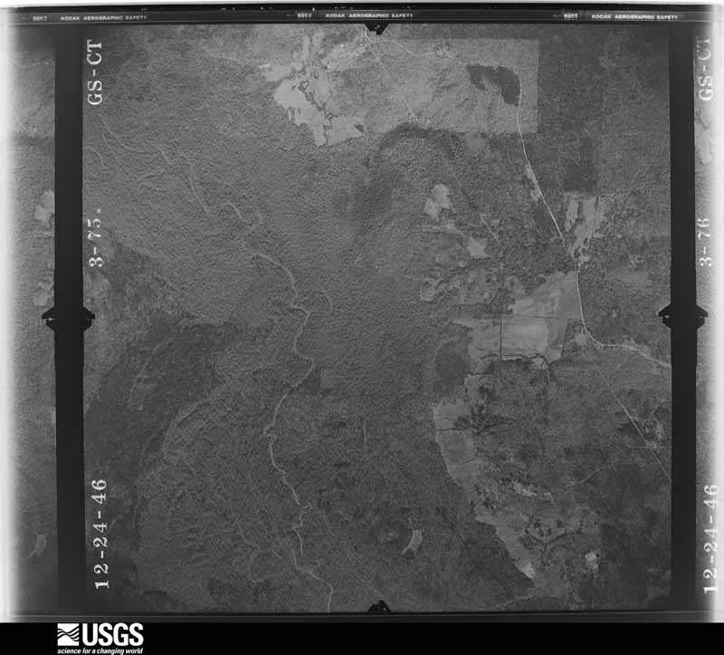
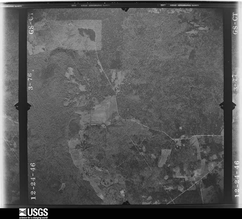
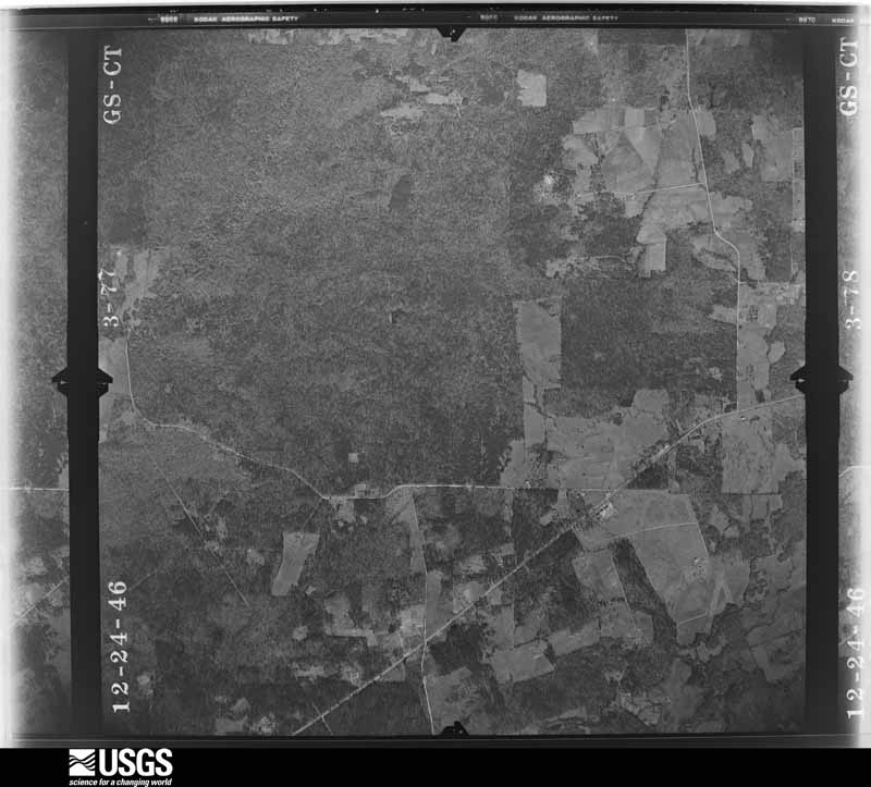
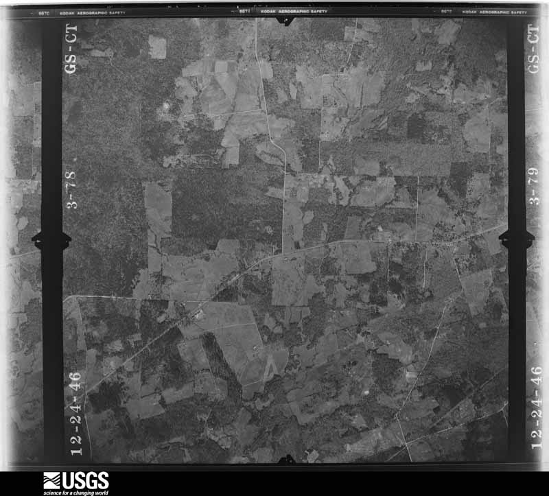
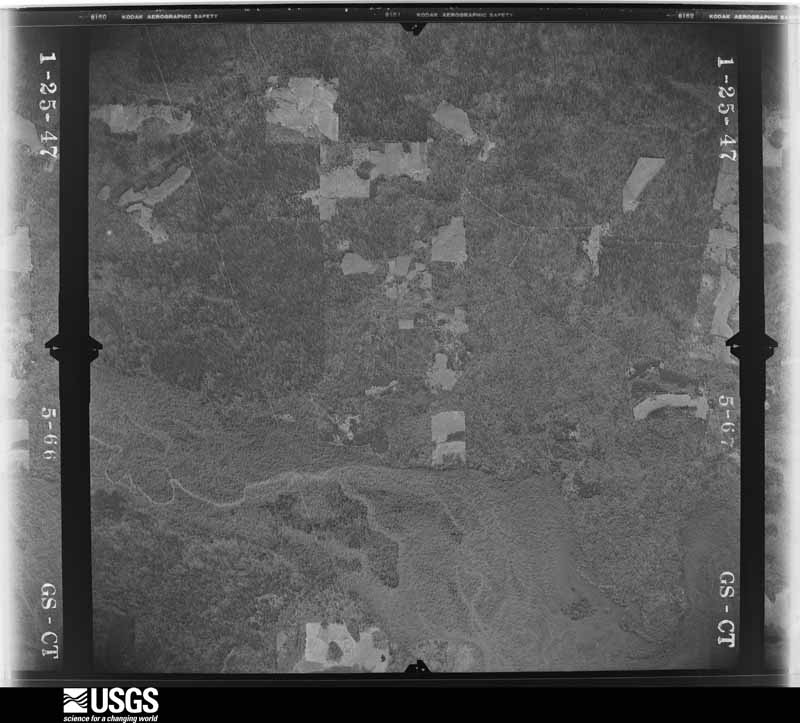
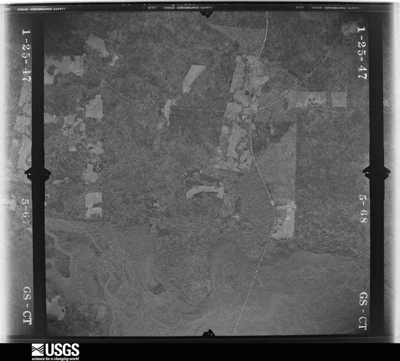
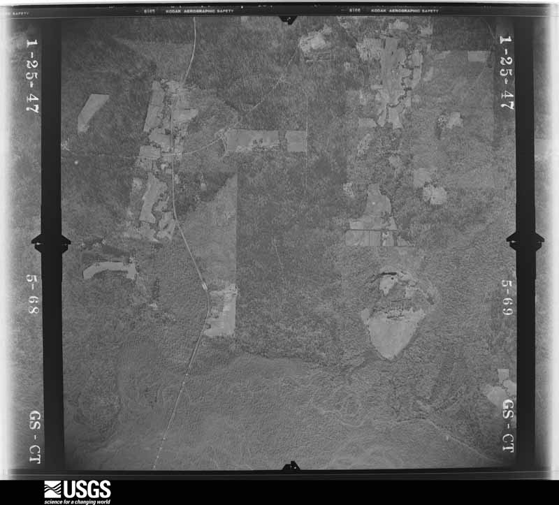
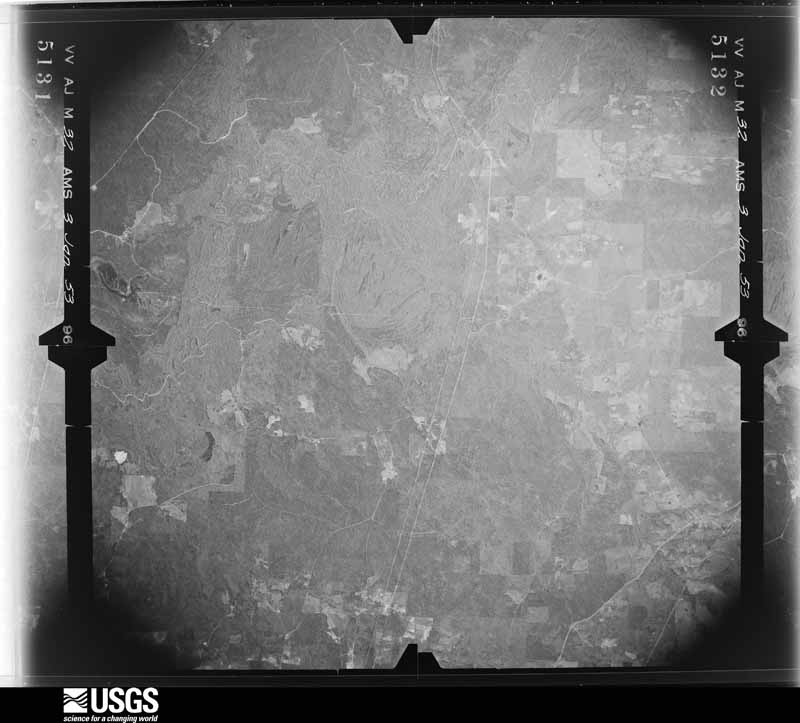
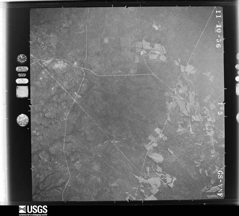
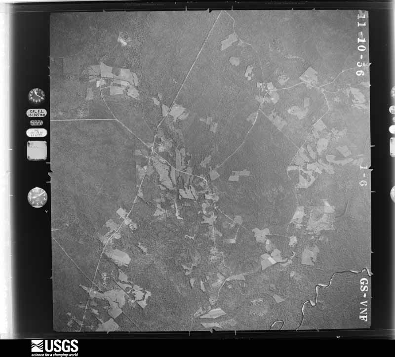
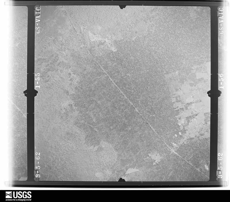
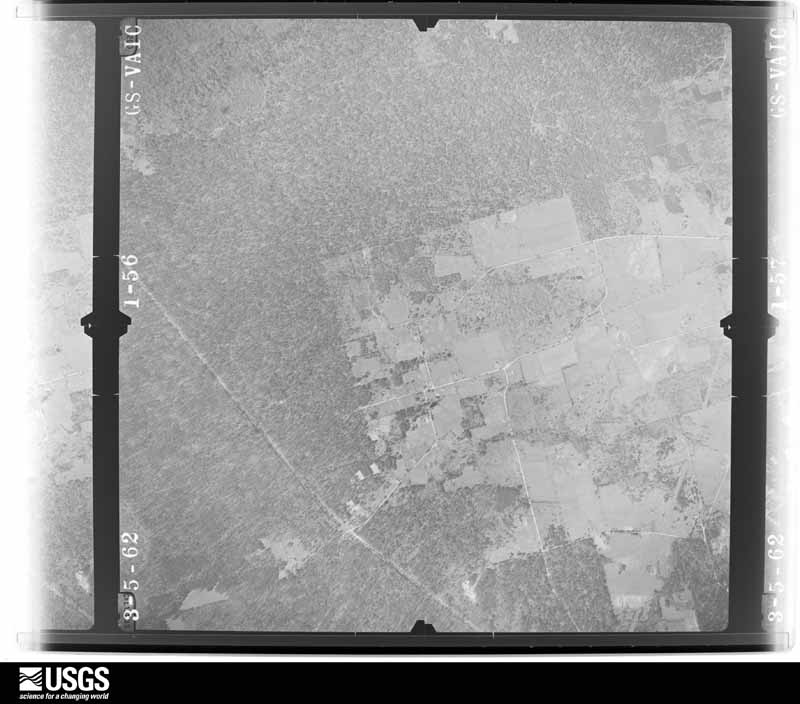
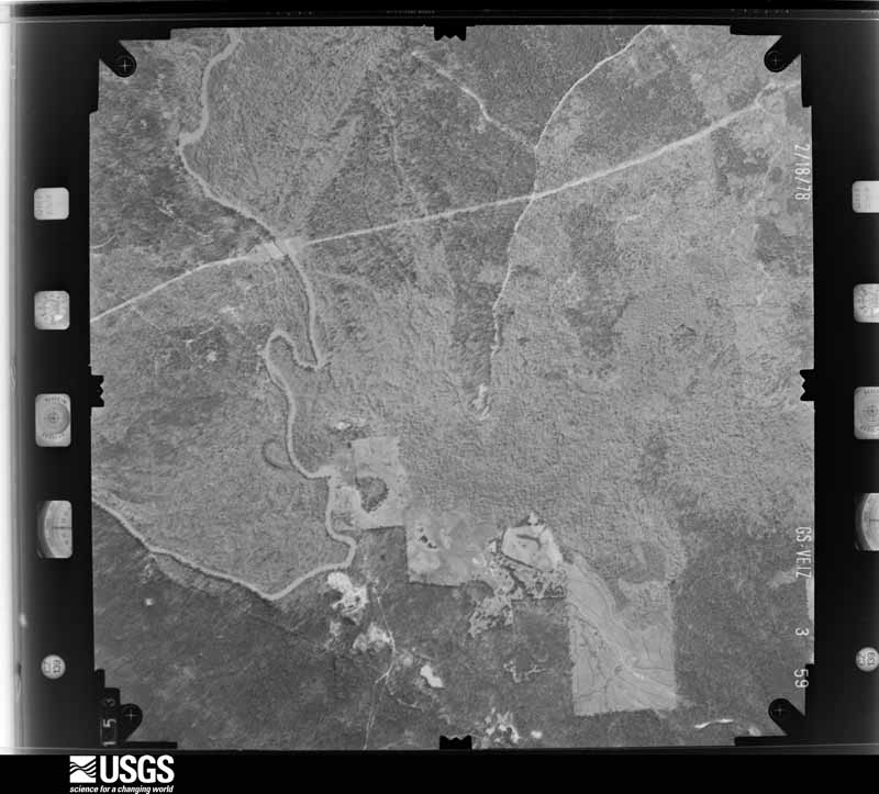
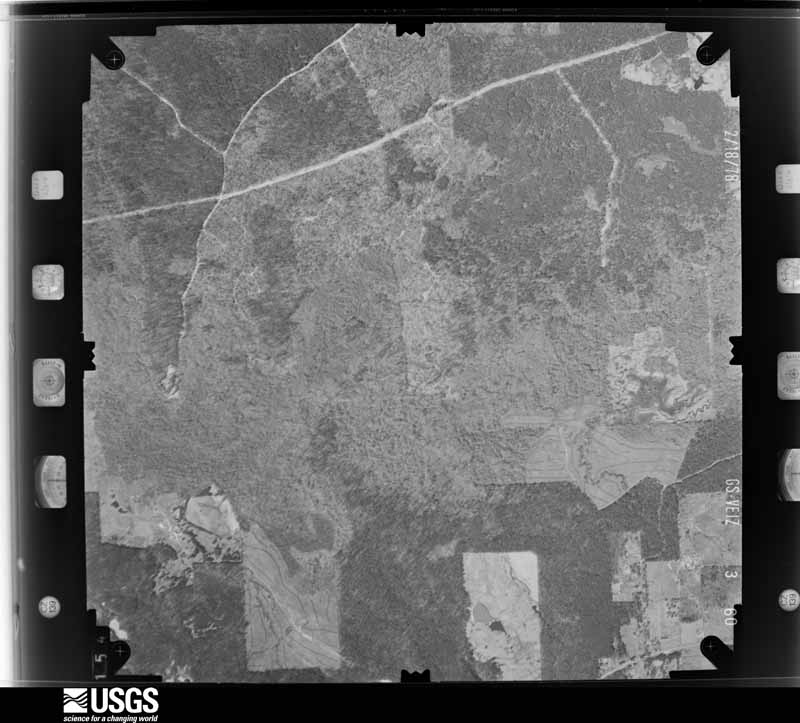
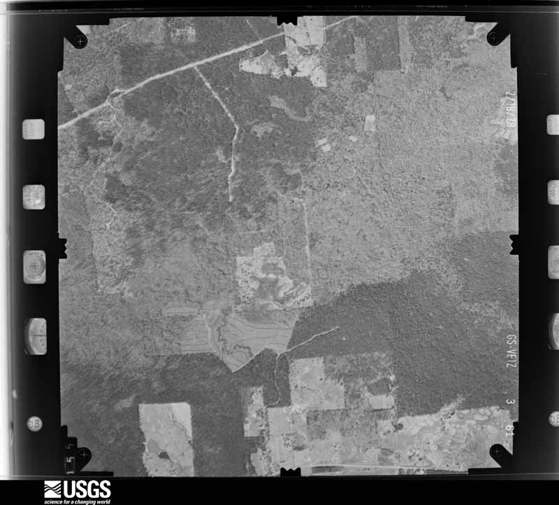
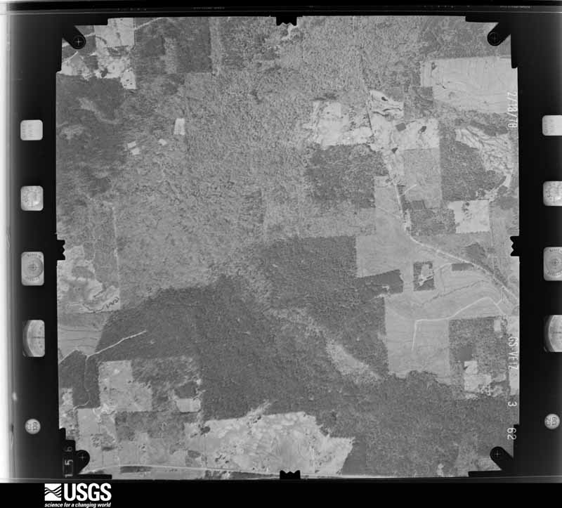
Flown by the U.S. Geological Survey between 1937 and 1989, the Aerial Photo Single Frames collection is the definitive mid-century view of the land: fields, roads and rivers as the camera saw them. The Survey holds 1,970 frames inside the rectangle that bounds this county; the 48 frames below were taken over the county itself, chosen across the decades of flights (at most four a year from that rectangle), so one flight cannot crowd out the rest. The full set is free to browse and download at EarthExplorer under the dataset Aerial Photo Single Frames.








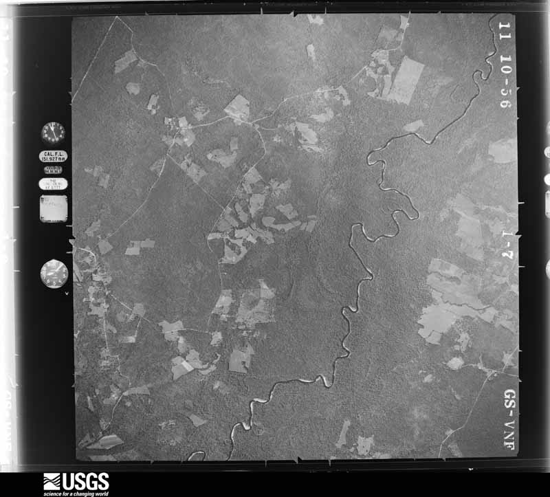
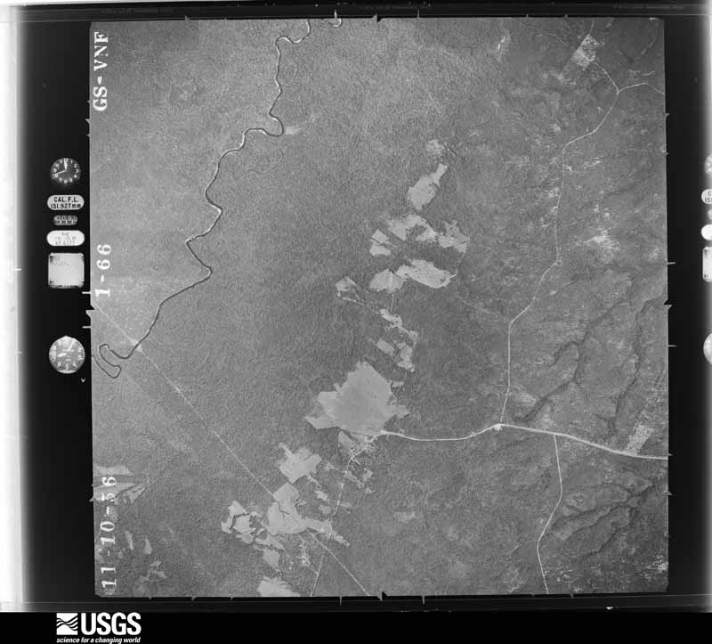
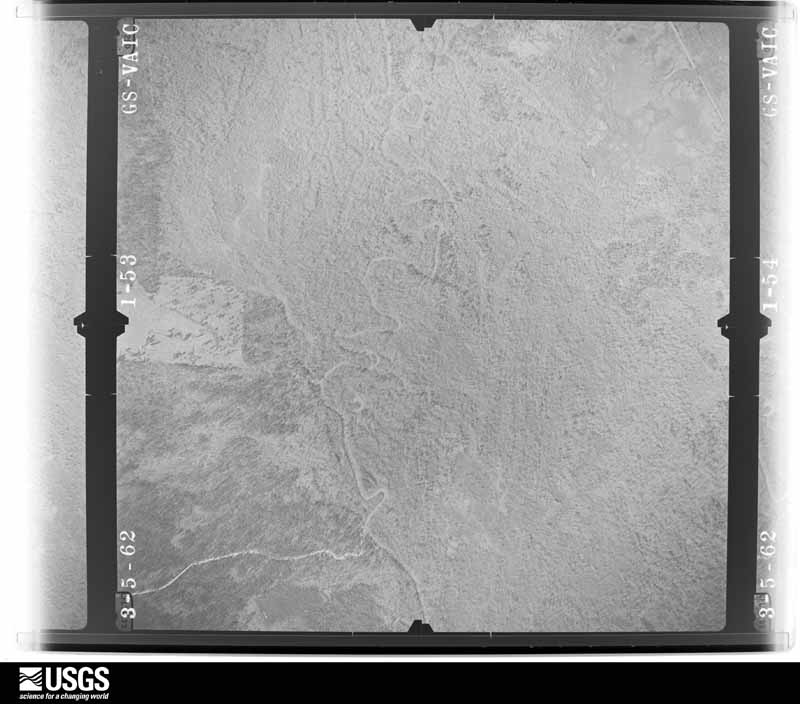
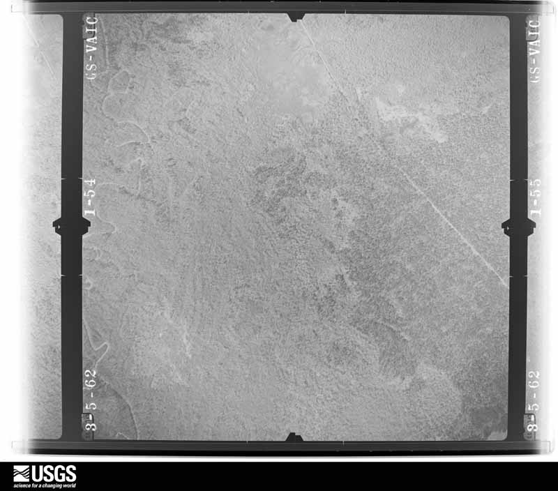




















The thermometers that kept this county's weather, and the gages that measured the flow of its streams, as the federal records hold them. The extremes below are measured values from those records, not estimates.
Who lived here in 1950, one enumeration district at a time, as the Census Bureau described each district. Each row opens its official National Archives result, with Population Schedules and ED Maps available there.
Every wildfire the federal occurrence database records inside this county: 1,657 of them, burning about 16,302 acres. 82 started naturally and 279 were recorded as arson. Each settlement page carries the fires within five miles of it.
| Reported cause | Fires |
|---|---|
| Debris and open burning | 876 |
| Arson/incendiarism | 279 |
| Missing data/not specified/undetermined | 198 |
| Natural | 82 |
| Power generation/transmission/distribution | 81 |
| Equipment and vehicle use | 62 |
| Recreation and ceremony | 27 |
| Smoking | 27 |
| Misuse of fire by a minor | 16 |
| Fireworks | 5 |
| Railroad operations and maintenance | 4 |
The five largest, by the area the report gives. Three of them were set deliberately.
| Date | Cause | Size | Reported by | Name on the report |
|---|---|---|---|---|
| 20 February 1996 | Arson/incendiarism | 3,936 acres | National Forests And Grasslands In Texas | UPLAND ISLAND |
| 7 September 1993 | Arson/incendiarism | 320 acres | Texas A & M Forest Service | not named |
| 4 September 2000 | Missing data/not specified/undetermined | 300 acres | Texas A & M Forest Service | WOODVILLE - 663 |
| 28 March 2008 | Arson/incendiarism | 300 acres | Texas A & M Forest Service | WOODVILLE - 75 |
| 11 February 2017 | Debris and open burning | 240 acres | Texas A & M Forest Service | CRAWFORD CREEK |
| 16 September 2020 | Missing data/not specified/undetermined | 232 acres | National Forests And Grasslands In Texas | OUTLOOK HILL |
| 24 August 2011 | Natural | 153 acres | National Forests And Grasslands In Texas | CYPRESS CREEK |
| 27 October 2010 | Natural | 150 acres | Texas A & M Forest Service | ANGELINA |
Every settlement page carries the fires within five miles of it - see the settlement index below.
The NOAA Storm Events Database holds 566 reports for this county, causing 5 deaths, 45 injuries and about $31,602,500 in recorded property damage. Each settlement page carries the reports that name it.
| Kind of event | Reports |
|---|---|
| Thunderstorm Wind | 221 |
| Hail | 181 |
| Flash Flood | 110 |
| Tornado | 43 |
| Flood | 8 |
| Lightning | 2 |
| Funnel Cloud | 1 |
The most serious of them, by death, then injury, then recorded damage. The accounts are quoted exactly as the forecast office filed them.
| When | Event | Place named | Harm | What the report says |
|---|---|---|---|---|
| April 2019 | Thunderstorm Wind | Central | 2 killed, 2 hurt | A tree fell on the vehicle in the 1800 block of Dewitt Henson Road near Pollok, killing an 8 year old boy and a 3 year old boy sitting in the backseat. The two parents sitting in the front seat sustained minor injuries. |
| November 1972 | Tornado (F2) | not stated | 2 killed, $250,000 | no account filed |
| May 2013 | Lightning | Lufkin | 1 killed | A woman was struck by lightning and killed outside an eating establishment during the nighttime hours of May 21st. She was standing outside adjacent to the restaurant holding an umbrella when she was struck. According to a Lufkin Police spokesman, lightning entered her upper torso and exited her feet. A chunk of concrete was blown out of the parking lot in a space to the side of the business where she was hit.|A witness said he was inside the restaurant when he heard and saw an explosion followed by sparks flying off of her and her umbrella. At first she had stopped breathing, then began again and was put inside an ambulance but she died a short time later at an area hospital. |
| March 1972 | Tornado (F2) | not stated | 13 hurt, $2,500,000 | no account filed |
| April 1954 | Tornado (F2) | not stated | 12 hurt, $250,000 | no account filed |
| March 2002 | Tornado (F3) | Diboll | 6 hurt, $5,000,000 | Numerous trees and power lines broken, snapped, and pulled out of the ground along the entire track. Several barns were severely damaged and numerous homes were with missing roofs while others suffered severe roof and structural damage. South of the Ora Community one house was totally blown off its foundation and destroyed. This tornado moved into Angelina County, TX from Polk County, TX and continued into Nacogdoches County, TX and San Augustine County, TX. |
| December 2009 | Tornado (EF3) | Lufkin | 2 hurt, $10,000,000 | An EF3 tornado touched down on the south side of Lufkin, on Loop 287 near Olive Garden just west of the intersections Loop 287 and South Chestnut Street. The tornado then tracked north northeast causing roof and tree damage to several homes behind Morgan Insurance Company on Loop 287. The tornado continued its north northeastward track then crossed South Chestnut causing major damage|to Gibson Funeral Home. It then tracked northward through a residential neighborhood causing more tree and roof damage, before destroying Max Welding Shop on Denman Rd. The tornado crossed Denman Road moving through another residential area causing moderate to major tree and roof damage. The tornado then destroyed the VFW building just before crossing Lufkin Avenue. More residential damage was observed between Lufkin Avenue and Atkinson Drive. The tornado crossed Atkinson Drive causing major damage by tossing several 18-wheelers parked at a trucking|company on Loop 287. The tornado then crossed Loop 287, damaging Goodyear Tires and Jim Walter Homes. The storm then tracked north into a wooded area before reaching Kit McConnico Park and causing moderate to major damage to the park. The|tornado lifted on the northern end of Kit McConnico Park around 10:07 PM. |
| January 1990 | Tornado (F3) | not stated | 2 hurt, $2,500,000 | no account filed |
| December 1983 | Tornado (F2) | not stated | 2 hurt, $2,500,000 | no account filed |
| November 1986 | Tornado (F1) | not stated | 2 hurt, $250,000 | no account filed |
| November 2000 | Tornado (F1) | Diboll | 2 hurt, $80,000 | A weak tornado (landspout) developed along a weak convergence zone which draped northeast to southwest across this location. Airmass was saturated and tropical. According to local radar, Shreveport WSR-88D, and at least a dozen witnesses no thunderstorms were in the vicinity at the time. Trees blown over or broken. Several buildings lost portions of their roofs. An 18-wheeler was blown over on Highway 59 as the tornado moved over the truck while the truck was in motion. This tornado did not cross into another county. |
| May 2001 | Thunderstorm Wind | Lufkin | 1 hurt, $22,000 | Tree fell through a travel trailer at Hanks Creek Park at Sam Rayburn Reservoir. |
| January 1997 | Lightning | Lufkin | 1 hurt | no account filed |
| April 2003 | Tornado (F2) | Pollok | $2,500,000 | A classic supercell thunderstorm moved northeastward across Angelina County, TX into Nacogdoches County, TX producing a strong tornado. Numerous structures were damaged near Central, TX, northwest of Lufkin, TX. Otherwise damage was confined to uprooted and snapped trees. |
| February 1998 | Thunderstorm Wind | Lufkin | $2,500,000 | Winds were recorded at the Lufkin Airport. Reports of 150 power poles were toppled with numerous trees across homes and vehicles. |
| November 2000 | Flash Flood | Lufkin | $500,000 | A 2 lane wood and steel bridge collapsed on County Road off Highway 69 due to excessive flooding. |
| April 2011 | Tornado (EF1) | Pollok | $300,000 | This tornado was a continuation of the tornado that moved out of Cherokee County, Texas. A high end EF1 tornado began in extreme southeast Cherokee County, Texas just north of the Neches River where it caused roof damage to a home along CR 2829 and blew down several trees. The tornado continued east southeast into Angelina County where it snapped or uprooted dozens of trees and blew down powerlines along FM 1819 around the CR 13 intersection. Several homes in this area also suffered roof damage and a few outbuildings were destroyed. The tornado crossed Choppin Road near Winter Lane where dozens of more trees were snapped or uprooted and additional homes and out buildings suffered damage. Turning more northeast, the tornado continued blowing down numerous trees as it moved over Cheeseland Road and Shirley Lane. The tornado lifted on the west side of Pollock just before crossing Hwy. 69. Winds were estimated near 110 mph. |
| April 2011 | Thunderstorm Wind | Pollok | $250,000 | A 2 mile swath of severe wind damage in association with the rear flank downdraft from the Wells, Texas tornado. Minor roof damage occurred to homes along FM. 1819. The old Redtown School and Senior Citizen Center lost portions of their metal roofs. A barn and several outbuildings on Choppin Road lost their roofs. Hundreds of trees were blown down from Redtown to Pollock along FM 1819...Hwy. 103...Hwy. 7 and Hwy. 69. Winds were estimated from 90 to 110 mph. Width of damage was 2 miles wide. |
| October 2009 | Flash Flood | Diboll | $250,000 | Numerous roads were flooded and closed throughout the entire county. Some homes were also flooded near Hwy. 59 south near Diboll, Texas. |
| September 1960 | Tornado (F2) | not stated | $250,000 | no account filed |
| December 2007 | Thunderstorm Wind | Lufkin | $200,000 | Half a dozen trees and several powerlines were downed in the Brookhollow and Mantooth neighboorhoods in Lufkin, Texas. One tree fell on top of an automobile. a local church had two large plate glass windows blown inward by the winds. Parts of air conditioning units were also blown off the roof of the Angelina Village and the Lufkin Mall. The winds also peeled off a metal roof of a rectory at the St. Andrew Church. With the roof gone, rain quickly soaked and collapsed the ceilings into the interior of the home. |
| November 2015 | Flash Flood | Gilbert | $150,000 | Several roads in the Hudson and Pollock communities were washed out due to flash flooding. |
| December 2013 | Thunderstorm Wind | Lufkin | $150,000 | Wind damage was quite extensive in and around the Lufkin, Texas area. Numerous trees and power lines were downed including a tree down on a house on the 1700 block of Courtney Lane. A local retailer on FM 58 lost at least two of its portable buildings in the wake of the strong winds. An entire wall on a South Chestnut Street business was completely torn down by the winds. Another local retailer experienced damage to its AC units along with falling ceiling tiles. At the DPS office in Lufkin, the storm shattered the back window of a DPS truck and broke the windows of an employee's personal vehicle. |
| November 1997 | Tornado (F1) | Huntington | $120,000 | The thunderstorm that produced the tornado formed along a squall line moving southeast across the area. Damage path consisted of numerous snapped and fallen trees. Twelve mobile homes were severely damaged from fallen trees and one mobile home was pushed off its foundation. Roofs were removed from two frame homes. |
| May 2017 | Tornado (EF0) | Lufkin | $100,000 | An EF0 tornado first touched down at the intersection of Church Street and Grant Avenue and began to move east southeast through southeast Lufkin. During this stretch, several large trees were uprooted , knocking over power poles and taking down power lines. A few of these trees fell directly on to homes. The tornado crossed the 287 loop between Highway 69 and CR 841. Several large trees were uprooted and numerous large branches were broken off as it paralleled Fannie Carrell Road as it continued southeast, eventually crossing CR 841 near Fish Road. The tornado lifted near the intersection of Flen Gary Road and CR 326 but not before knocking over several more large trees there, with one on a home. |
| December 2015 | Thunderstorm Wind | Prosser | $100,000 | Damaging straight line wind gusts associated with a line of strong showers produced a southwest to northeast swath of wind damage from the exit ramp at North Raguet Street and Hwy. 103 across U.S. Highway 69 to FM 2251. Winds near the initial damage path at North Raguet Street and Hwy. 103 were estimated near 65 mph, snapping and uprooting a couple of trees and downing a number of large limbs. These winds accelerated to near 80 mph down the hill on Hwy. 103 just northeast of Old Mill Road and beneath the railroad overpass where 64 empty railroad cars were blown off the tracks, falling onto the roadway. These winds blew away a few billboards at the intersection of highways 103 and 69 before ripping shingles off of several apartment homes at the Timer Point Apartments on Ellen Trout Drive. Metal covered parking structures were also blown away and several trees adjacent to the property were snapped or uprooted. The are of significant damage ended on FM 2251 where a number of large trees were snapped or uprooted. |
| May 2009 | Thunderstorm Wind | Peavy | $75,000 | A 62 mph gust was measured from the Angelina County airport ASOS. These winds resulted in trees falling into two homes and the roofs being partialy blown off by two more homes in the Diboll community. |
| April 2007 | Thunderstorm Wind | Huntington | $75,000 | Straight line wind gusts downed trees and power lines across portions of Huntington, Texas in eastern Angelina County. Tin was also removed from a residence in town. One tree fell atop a home in town as well. |
| January 2020 | Tornado (EF1) | Pollok | $60,000 | An EF-1 tornado with estimated maximum winds near 90 mph touched down in a forested area off of Rifle Road, where it snapped several large branches. It then snapped four trees and snapped additional limbs on several nearby trees. The tornado then hit a double-wide manufactured home, lifting it up a few feet and shifting it off of its foundation. The tornado also flipped a trailer and snapped four more trees before lifting. |
| July 1994 | Hail | Lufkin | $50,000 | Trees and power lines were blown down by thunderstorm winds. |
| July 1994 | Thunderstorm Wind | Lufkin | $50,000 | Trees and power lines were blown down by thunderstorm winds. |
| June 2007 | Thunderstorm Wind | Huntington | $40,000 | A metal roof was torn off a downtown Lufkin business and was deposited on two parked cars in an adjacent parking lot. |
| April 2005 | Thunderstorm Wind | Lufkin | $40,000 | A downburst resulted in two trees falling on a home along Hwy 69. The downburst also resulted in minor roof damage to other homes along with two business signs blown over and a dumpster overturned near Hwy 69 north and north of loop 287. |
| September 2000 | Thunderstorm Wind | Lufkin | $40,000 | A home roof was damaged and street lamps were pushed over along with numerous trees. |
| May 2021 | Tornado (EF1) | Gilbert | $30,000 | An EF-1 tornado with estimated maximum winds near 100 mph touched down on the south end of a large property along Old Bonner Road and tracked north-northwest for at least an estimated 2.5 miles through rural areas of Northwest Angelina County. Much of the damage was observed in this large property area, with damage mainly confined to numerous trees being uprooted, trunks snapped, or losing large branches. One outbuilding did receive minor damage on the outskirts of the tornado on this property. The tornadic damage extended as far as the eye could see south of the south boundary of the aforementioned property, although access to survey farther south was unavailable due to a lack of road access. The tornado continued north across Blackburn Switch Road, where a narrow swath of EF-0 tree damage was observed. This was judged to be the ending point of this tornado due to the lack of access to roads farther north, just south of Highway 103. |
| June 2007 | Thunderstorm Wind | Lufkin | $30,000 | Portion of a roof was completely blown off a building in town. |
| January 2005 | Thunderstorm Wind | Lufkin | $25,000 | Several trees uprooted and a roof was partially removed from a house. Several powerlines downed. |
| July 2005 | Thunderstorm Wind | Lufkin | $25,000 | A tree was blown down onto a home in town. |
| July 2005 | Flash Flood | Lufkin | $25,000 | A few city streets had to be closed due to excessive heavy rainfall and the resulting high water. |
| November 1979 | Tornado (F1) | not stated | $25,000 | no account filed |
| November 1964 | Tornado (F1) | not stated | $25,000 | no account filed |
| June 1960 | Tornado (F2) | not stated | $25,000 | no account filed |
| March 1958 | Tornado (F1) | not stated | $25,000 | no account filed |
| May 1958 | Tornado (F1) | not stated | $25,000 | no account filed |
| March 2012 | Flash Flood | Homer | $20,000 | Old Homer Alto Road southeast of Lufkin, Texas was completely washed out. A car ran across the high water and collapsed into the torrent of water that used to be the road. There were no report of injuries. |
| April 2011 | Thunderstorm Wind | Dunagan Station | $20,000 | A tree was downed on a home on Mount Carmel Road off of Hwy. 94 west. There were no reports of injuries. |
| June 2004 | Thunderstorm Wind | Lufkin | $20,000 | Trees downed throughout the county...including one on a home in town. |
| August 1998 | Thunderstorm Wind | Lufkin | $12,000 | Trees and powerlines toppled along FM 842 and SR 103. |
| December 2012 | Thunderstorm Wind | Lufkin | $10,000 | A roof was blown off a mobile home on Hwy. 103 east in Lufkin, Texas. Large tree limbs were also blown down. |
| December 2007 | Thunderstorm Wind | Zavalla | $10,000 | Up to 14 electrical cross arms and several spans of wire along with a few trees were downed in town resulting in hundreds of residents without power. |
| June 2004 | Flash Flood | Lufkin | $10,000 | High water on Hwys 58, 59, 818, 819 and FM 324 caused considerable problems in and south of town. High water went into a few homes and flooded an automobile. |
| May 1999 | Thunderstorm Wind | Zavalla | $10,000 | Home suffered roof damage. |
| March 1995 | Thunderstorm Wind | Zavalla | $10,000 | High winds blew roofs off barns and damaged outbuildings. |
| July 2014 | Flash Flood | Huntington | $5,000 | A vehicle was underwater on Hwy. 69 in Huntington, Texas in front of the Texas State Bank. |
| August 2012 | Thunderstorm Wind | Diboll | $5,000 | Trees were downed in town and a large limb fell onto a home in Diboll, Texas. |
| October 1994 | Thunderstorm Wind | Huntington | $5,000 | Power lines were blown down by high winds. |
| October 1994 | Thunderstorm Wind | Lufkin | $5,000 | Trees were blown down. |
| May 1993 | Thunderstorm Wind | Lufkin | $5,000 | Dime-size hail was reported north of Lufkin along Highway 59. Minor wind damage was reported to some roofs. |
| September 1993 | Thunderstorm Wind | Lufkin | $5,000 | A tree was blown onto powerlines on Farm-to-Market Road 2021. |
| November 1993 | Thunderstorm Wind | Harmony Hill | $5,000 | A motor home shed was destroyed by high winds. |
The Survey's mineral resources record lists 9 workings inside this county. 5 still produce and 4 are closed or unrecorded. Each settlement page carries the workings within five miles of it.
| Commodity | Workings |
|---|---|
| Bentonite | 8 |
| Clay, Lignite | 1 |
The least common of them first, because a county's hundredth gravel pit says nothing its first ten did not.
| Where | Site | Commodity | Status | Recorded |
|---|---|---|---|---|
| Zavalla Mill | Clay, Lignite | Producer | ||
| Bennett Clark Bentonite Pit | Bentonite | Past Producer | ||
| Bennett-Clark Pit | Bentonite | Past Producer | Bentonite | |
| Dresser Minerals Pit | Bentonite | Producer | ||
| General Mills | Bentonite | Producer | ||
| Miller Pit | Bentonite | Past Producer | Sedimentary | |
| Southern Clay Prod Bentonite Pit | Bentonite | Producer | ||
| Southern Clay Products Pit | Bentonite | Producer | ||
| Unnamed Pit | Bentonite | Past Producer | Sedimentary |
Named settlements recorded in the Geographic Names Information System, each with the topographic sheets covering it. Villages, hamlets and abandoned places alike. Each is shown with the nearest named watercourse or landform and the survey quadrangle it falls on. The 1 place that was also surveyed for fire insurance comes first, with the number of atlases and photographs held for them.
Lufkin census division · 75901 · Lufkin quadrangle
14 sheets, 1949 to 1992
Fire insurance: 6 atlases
Huntington census division · 75901 · On One Eye Creek · Bald Hill quadrangle
13 sheets, 1932 to 1992
Pollok census division · 75904 · On Big Bend Slough · Keltys quadrangle
11 sheets, 1949 to 1992
Zavalla census division · 75980 · On Little Caney Creek · Boykin Spring quadrangle
15 sheets, 1931 to 1992
Zavalla census division · 75980 · On Turpentine Creek · Rockland quadrangle
16 sheets, 1928 to 2003
Huntington census division · 75949 · Near Big Island · Etoile South quadrangle
13 sheets, 1953 to 2003
Zavalla census division · 75980 · On Cypress Creek · Rockland quadrangle
16 sheets, 1928 to 2003
Lufkin census division · 75901 · On Little Creek · Redland quadrangle
15 sheets, 1949 to 2003
Zavalla census division · 75980 · On Beech Grove Branch · Ebenezer quadrangle
13 sheets, 1953 to 2003
Zavalla census division · 75980 · On Dudley Branch · Ebenezer quadrangle
13 sheets, 1953 to 2003
Diboll census division · 75941 · Near Mossy Ridge · Diboll quadrangle
11 sheets, 1953 to 2004
No longer a settlement
Lufkin census division · 75901 · On Mill Creek · Redland quadrangle
15 sheets, 1949 to 2003
The vanished settlements of Angelina County: the places named above that are no longer on the map.
14 topographic sheets and 6 fire insurance atlases, 1904 to 1946
The complete index, with nothing left out. Each of these is a separate record with its own page: a federal survey report, or the case file that argued a property on to the National Register. Both are public domain and reproduced word for word.
The vanished settlements of Angelina County, the places these records name that are no longer on the map.