Texas within the United StatesAustin County within Texas
What the record shows
2 places in this county were surveyed for fire insurance: Bellville, Sealy, between 1885 and 1944.
10 fire insurance atlases survive for the county. Topographic coverage is national; fire insurance survey reached only incorporated places with something worth insuring.
321 topographic sheet readings cover the county's settlements.
9 properties here are on the National Register of Historic Places: 8 buildings and 1 district.
1 of the 9 listings was added during the 1970s.
The Geographic Names Information System records 32 populated places in this county; 32 are covered by at least one topographic sheet.
Photographs
41 photographs, 2014
Taken for the Office of War Information and
the Farm Security Administration, who photographed the country between
1935 and 1944. Works of United States government photographers, with no
known restriction on use. Each opens its catalogue record.
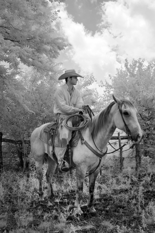
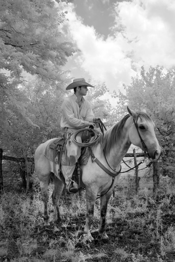
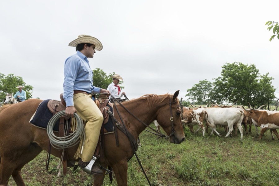
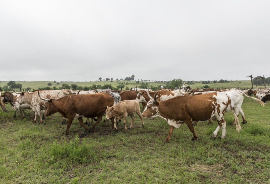
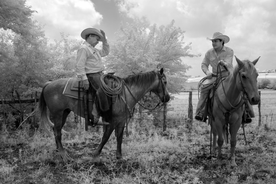
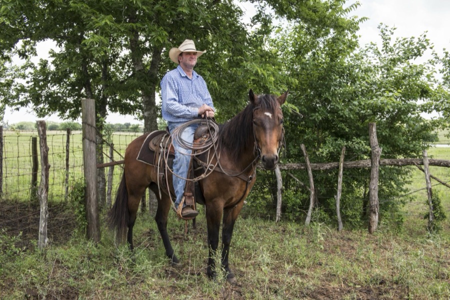
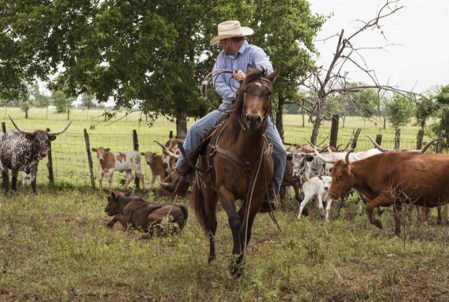
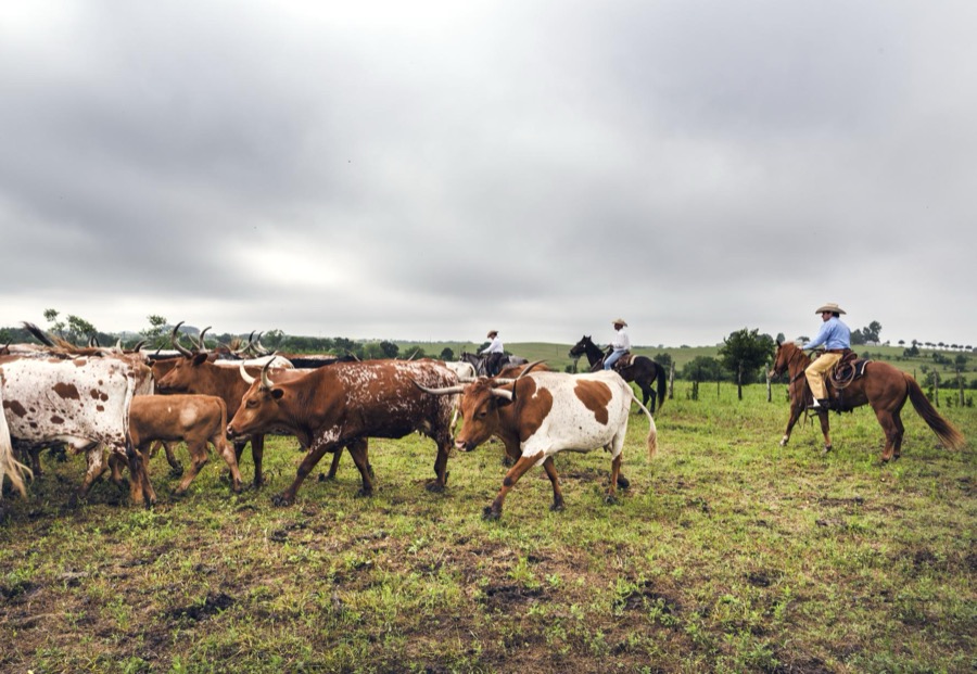
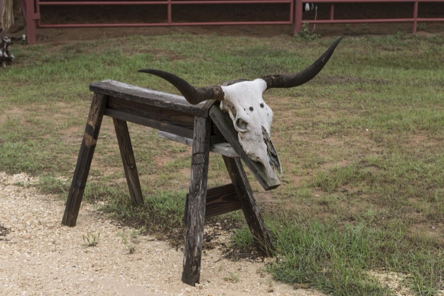
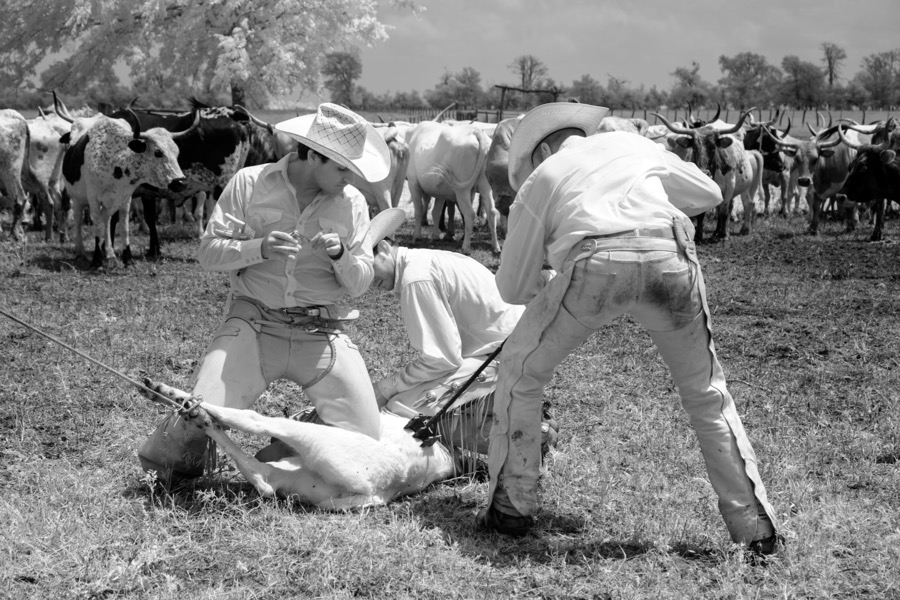
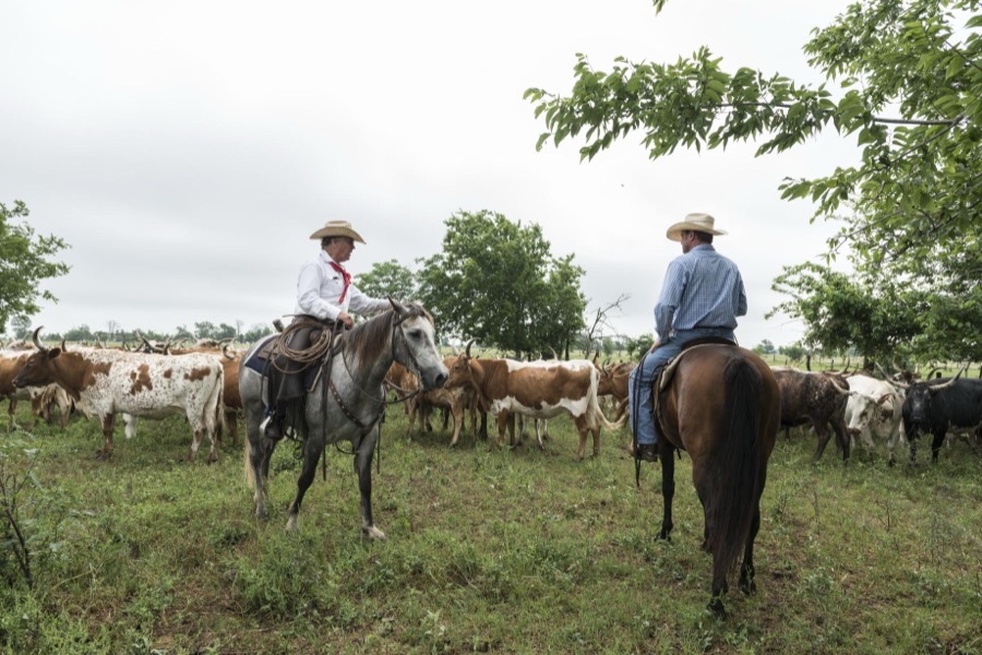
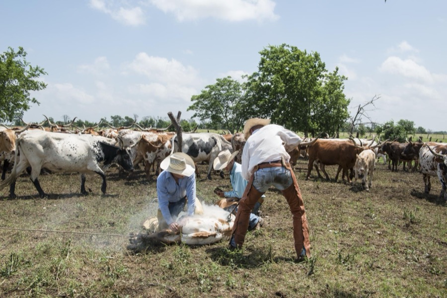
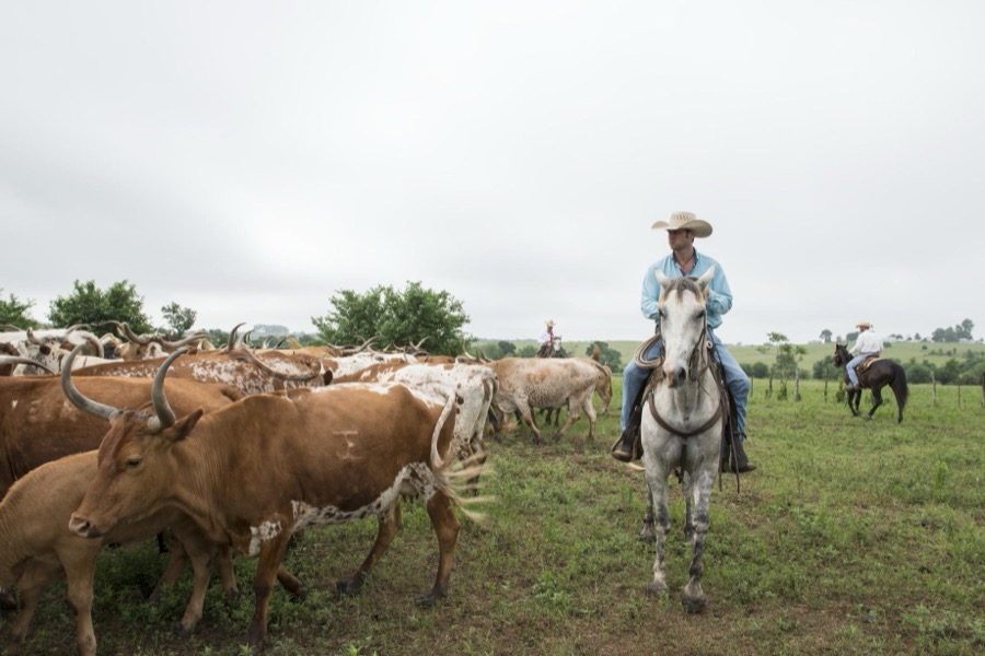
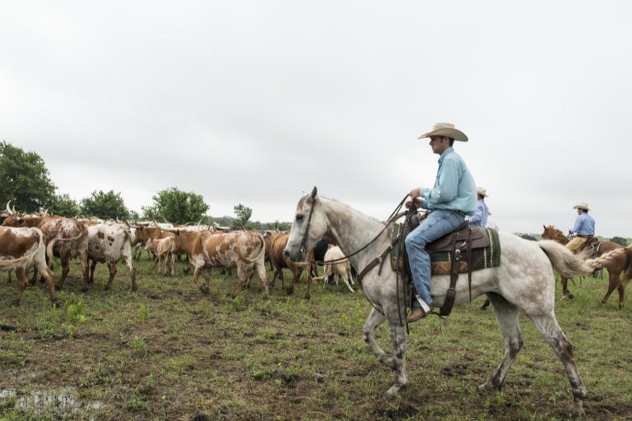
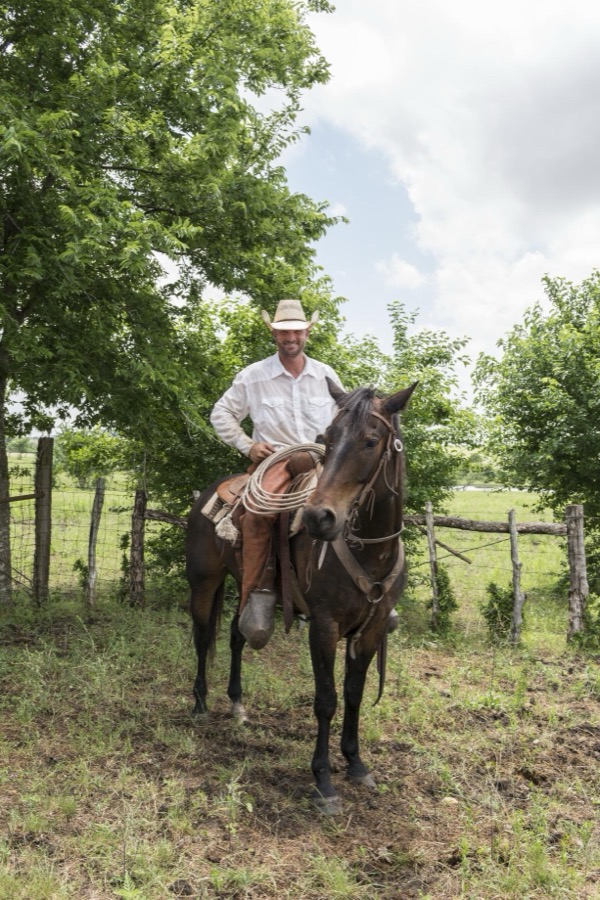
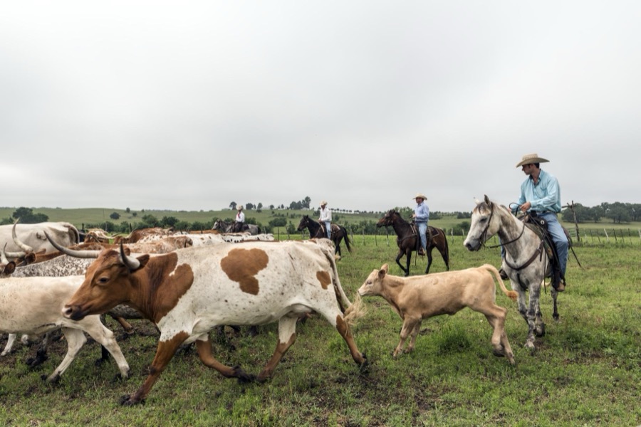
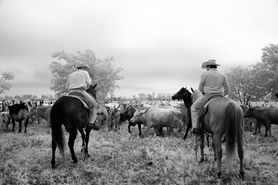
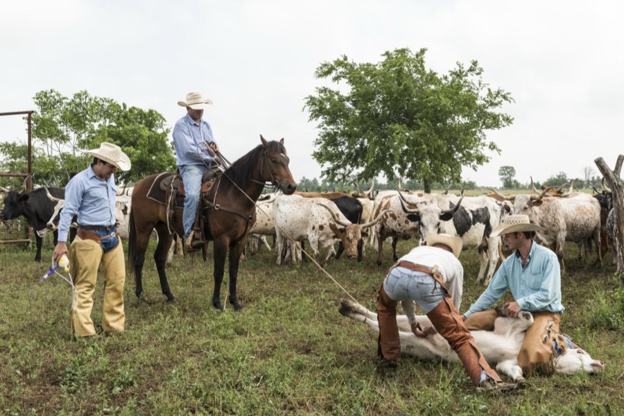
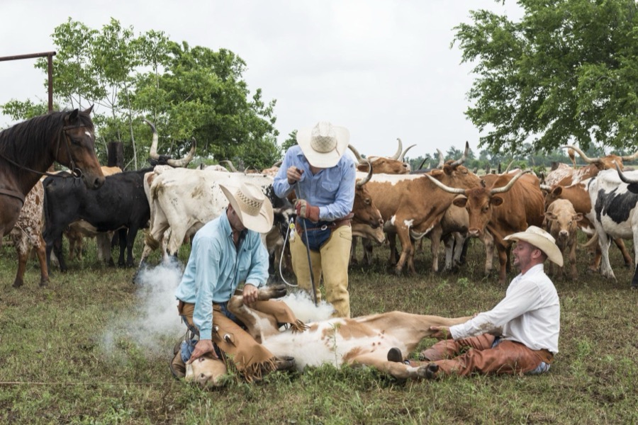
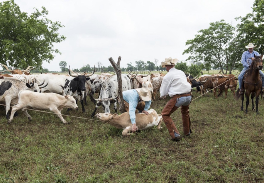
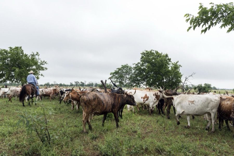
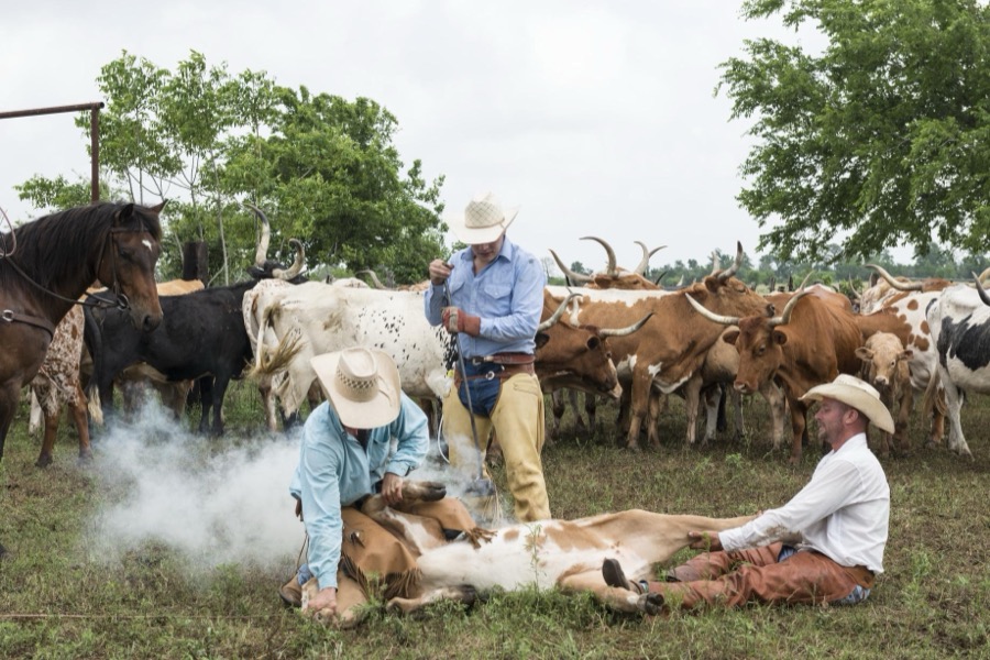
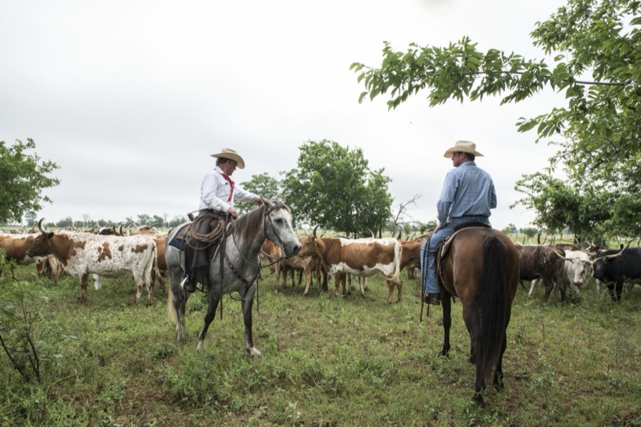
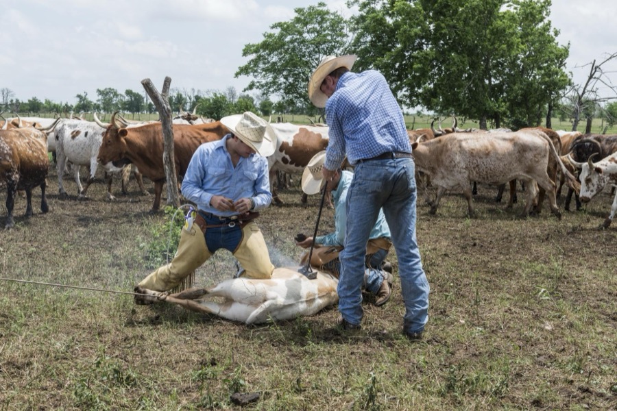
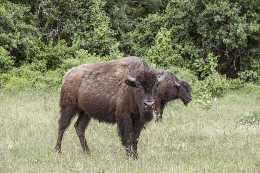
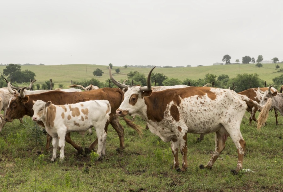
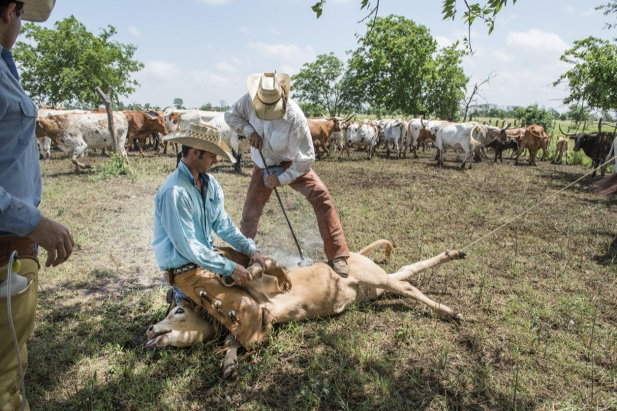
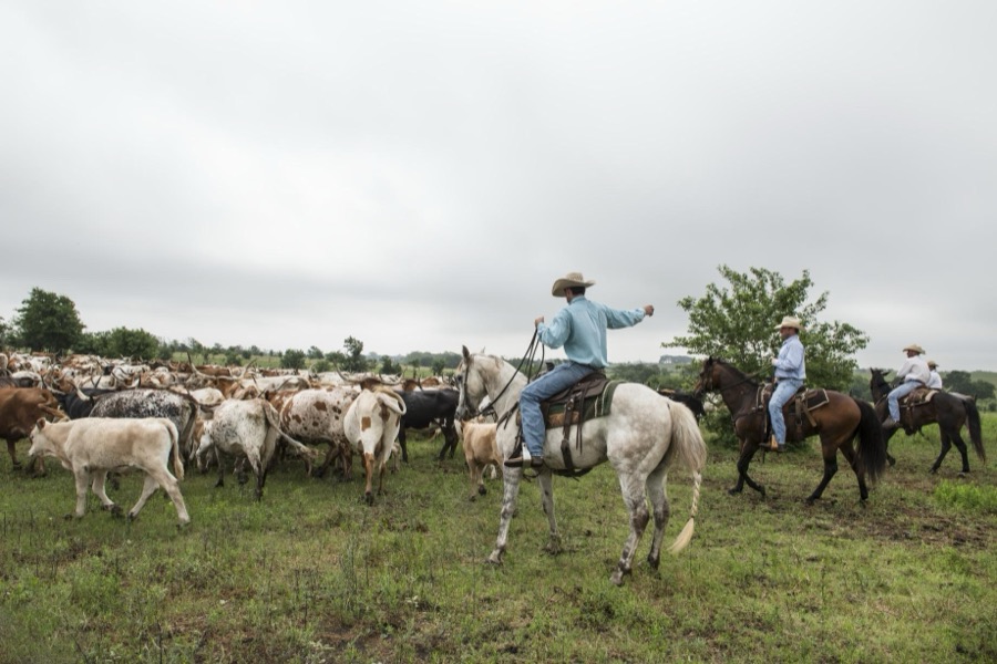
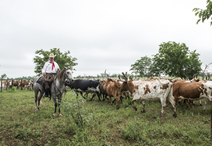
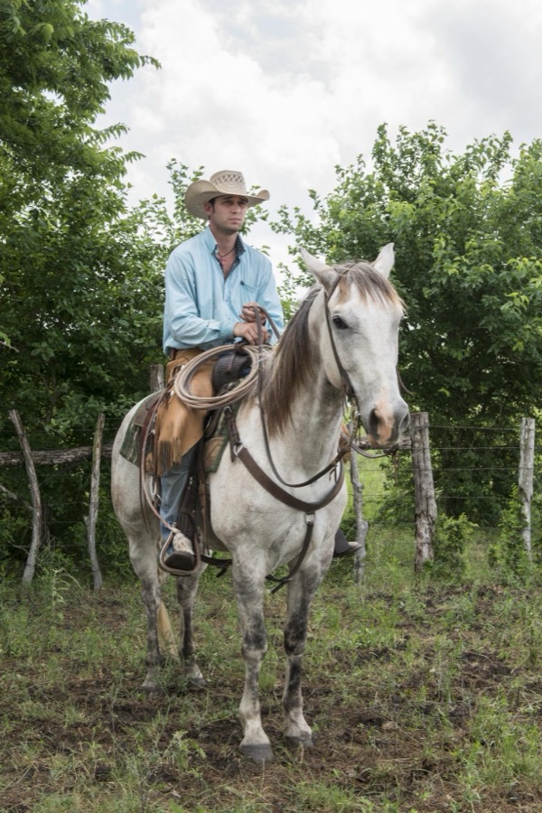
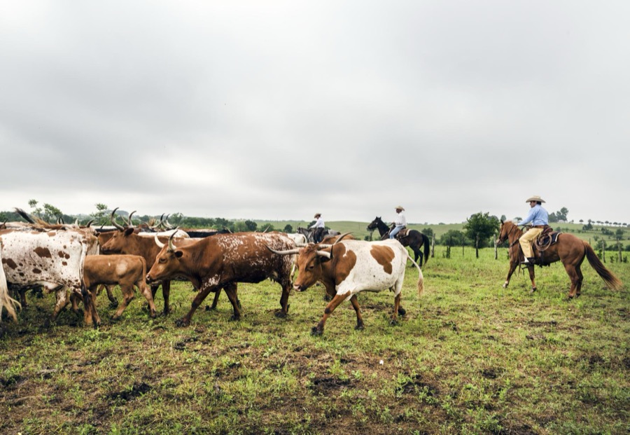
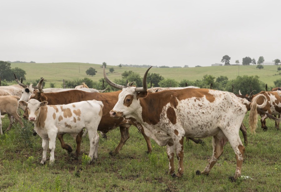
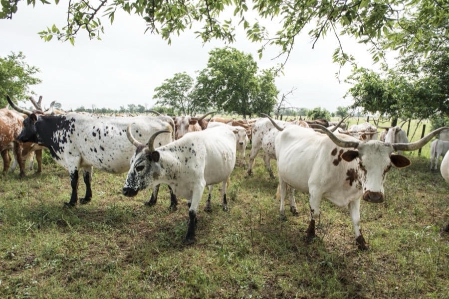
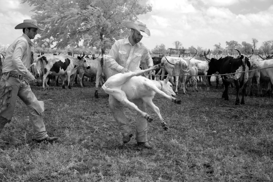
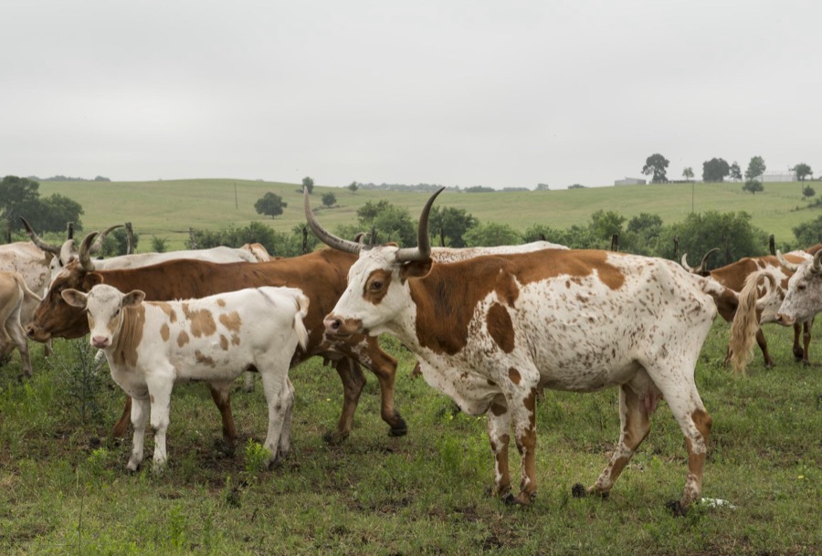
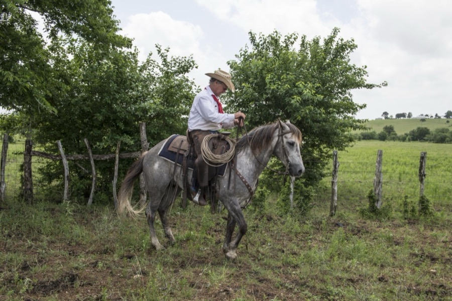
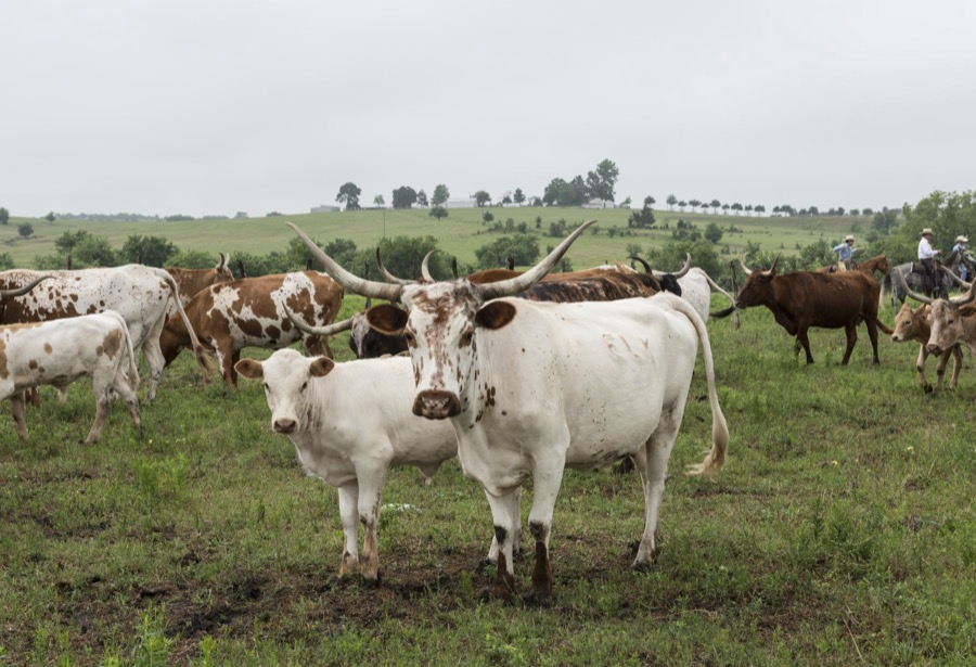
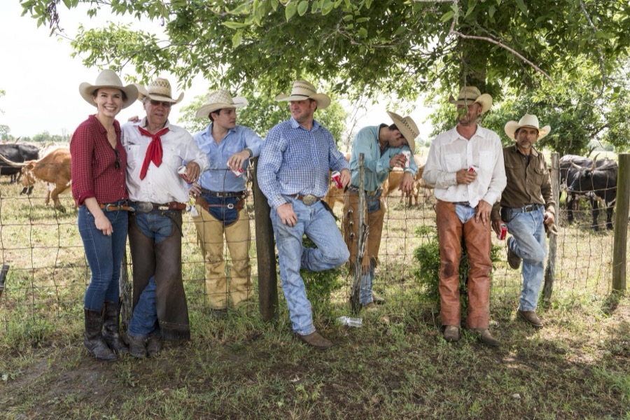
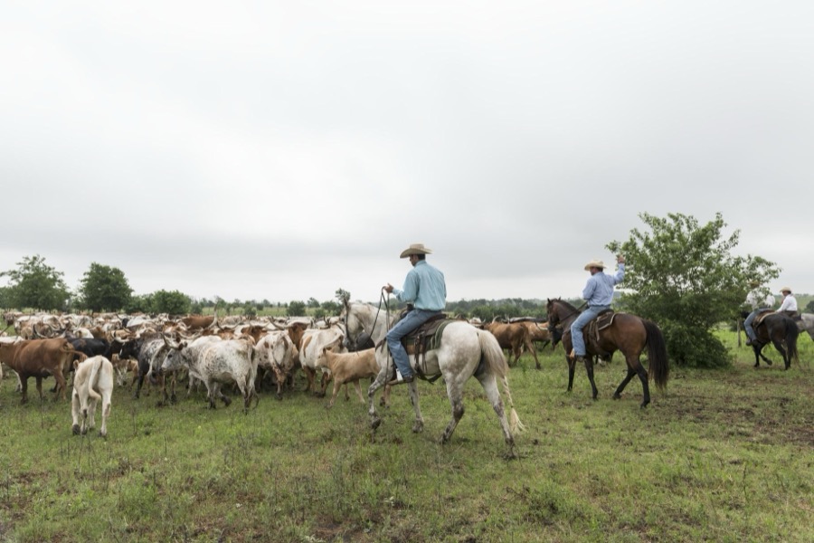
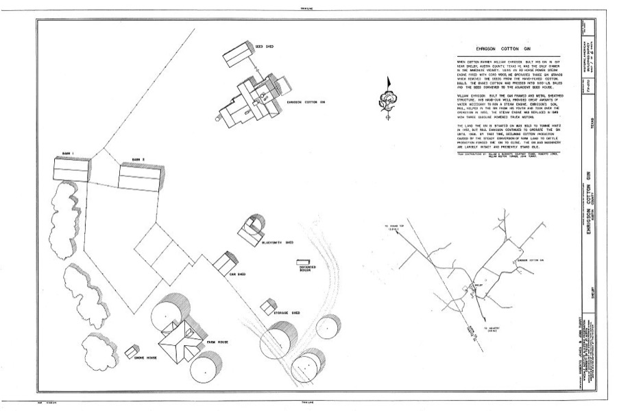
Cowhand Robert Vaughn aboard his horse, Dunnie, at the 1,800-acre Lonesome Pine Ranch, a working cattle ranch that is part of the Texas Ranch Life ranch resort near Chappell Hill in Austin County, Texas Highsmith, Carol M, 2014. Library of CongressCowhand Robert Vaughn aboard his horse, Dunnie, at the 1,800-acre Lonesome Pine Ranch, a working cattle ranch that is part of the Texas Ranch Life ranch resort near Chappell Hill in Austin County, Texas Highsmith, Carol M, 2014. Library of CongressCowhands drive the 200-head longhorn herd at the 1,800-acre Lonesome Pine Ranch, a working cattle ranch that is part of the Texas Ranch Life ranch resort near Chappell Hill in Austin County, Texas Highsmith, Carol M, 2014. Library of CongressPart of a 200-head longhorn herd at the 1,800-acre Lonesome Pine Ranch, a working cattle ranch that is part of the Texas Ranch Life ranch resort near Chappell Hill in Austin County, Texas Highsmith, Carol M, 2014. Library of CongressCowhand Lars Hollis, right, and John Elick, owner of the 1,800-acre Lonesome Pine Ranch, a working cattle ranch that is part of the Texas Ranch Life ranch resort near Chappell Hill in Austin County, Texas Highsmith, Carol M, 2014. Library of CongressCowhand Craig Bauer, atop his horse, Spaghetti, at the 1,800-acre Lonesome Pine Ranch, a working cattle ranch that is part of the Texas Ranch Life ranch resort near Chappell Hill in Austin County, Texas Highsmith, Carol M, 2014. Library of CongressCowhand Craig Bauer, atop his horse, Spaghetti, on the prowl for longhorn heifers and calves on branding day at the 1,800-acre Lonesome Pine Ranch, a working cattle ranch that is part of the Texas Ranch Life ranch resort near Chappell Hill in Austin County, Texas Highsmith, Carol M, 2014. Library of CongressCowhands drive longhorn steers at the 1,800-acre Lonesome Pine Ranch, a working cattle ranch that is part of the Texas Ranch Life ranch resort near Chappell Hill in Austin County, Texas Highsmith, Carol M, 2014. Library of CongressCow-skull sawhorse at the 1,800-acre Lonesome Pine Ranch, a working cattle ranch that is part of the Texas Ranch Life ranch resort near Chappell Hill in Austin County, Texas Highsmith, Carol M, 2014. Library of CongressBranding day for heifers at the 1,800-acre Lonesome Pine Ranch, a working cattle ranch that is part of the Texas Ranch Life ranch resort near Chappell Hill in Austin County, Texas Highsmith, Carol M, 2014. Library of CongressCowhands drive the 200-head longhorn herd at the 1,800-acre Lonesome Pine Ranch, a working cattle ranch that is part of the Texas Ranch Life ranch resort near Chappell Hill in Austin County, Texas Highsmith, Carol M, 2014. Library of CongressBranding day for heifers at the 1,800-acre Lonesome Pine Ranch, a working cattle ranch that is part of the Texas Ranch Life ranch resort near Chappell Hill in Austin County, Texas Highsmith, Carol M, 2014. Library of CongressCowhands drive the 200-head longhorn herd at the 1,800-acre Lonesome Pine Ranch, a working cattle ranch that is part of the Texas Ranch Life ranch resort near Chappell Hill in Austin County, Texas Highsmith, Carol M, 2014. Library of CongressSign "Sweet Texas Ranch Life" at the 1,800-acre Lonesome Pine Ranch, a working cattle ranch that is part of the Texas Ranch Life ranch resort near Chappell Hill in Austin County, Texas Highsmith, Carol M, 2014. Library of CongressCowhands drive the 200-head longhorn herd at the 1,800-acre Lonesome Pine Ranch, a working cattle ranch that is part of the Texas Ranch Life ranch resort near Chappell Hill in Austin County, Texas Highsmith, Carol M, 2014. Library of CongressCowhand E.B. Feldman, atop his horse, Deets, at the 1,800-acre Lonesome Pine Ranch, a working cattle ranch that is part of the Texas Ranch Life ranch resort near Chappell Hill in Austin County, Texas Highsmith, Carol M, 2014. Library of CongressCowhands drive the 200-head longhorn herd at the 1,800-acre Lonesome Pine Ranch, a working cattle ranch that is part of the Texas Ranch Life ranch resort near Chappell Hill in Austin County, Texas Highsmith, Carol M, 2014. Library of CongressCowhands surveying the longhorn herd at the 1,800-acre Lonesome Pine Ranch, a working cattle ranch that is part of the Texas Ranch Life ranch resort near Chappell Hill in Austin County, Texas Highsmith, Carol M, 2014. Library of CongressBranding day at the 1,800-acre Lonesome Pine Ranch, a working cattle ranch that is part of the Texas Ranch Life ranch resort near Chappell Hill in Austin County, Texas Highsmith, Carol M, 2014. Library of CongressBranding day at the 1,800-acre Lonesome Pine Ranch, a working cattle ranch that is part of the Texas Ranch Life ranch resort near Chappell Hill in Austin County, Texas Highsmith, Carol M, 2014. Library of CongressBranding day at the 1,800-acre Lonesome Pine Ranch, a working cattle ranch that is part of the Texas Ranch Life ranch resort near Chappell Hill in Austin County, Texas Highsmith, Carol M, 2014. Library of CongressCowhands drive the 200-head longhorn herd at the 1,800-acre Lonesome Pine Ranch, a working cattle ranch that is part of the Texas Ranch Life ranch resort near Chappell Hill in Austin County, Texas Highsmith, Carol M, 2014. Library of CongressBranding day at the 1,800-acre Lonesome Pine Ranch, a working cattle ranch that is part of the Texas Ranch Life ranch resort near Chappell Hill in Austin County, Texas Highsmith, Carol M, 2014. Library of CongressCowhands drive the 200-head longhorn herd at the 1,800-acre Lonesome Pine Ranch, a working cattle ranch that is part of the Texas Ranch Life ranch resort near Chappell Hill in Austin County, Texas Highsmith, Carol M, 2014. Library of CongressBranding day for heifers at the 1,800-acre Lonesome Pine Ranch, a working cattle ranch that is part of the Texas Ranch Life ranch resort near Chappell Hill in Austin County, Texas Highsmith, Carol M, 2014. Library of CongressAmerican bison at the 1,800-acre Lonesome Pine Ranch, a working cattle ranch that is part of the Texas Ranch Life ranch resort near Chappell Hill in Austin County, Texas Highsmith, Carol M, 2014. Library of CongressPart of a 200-head longhorn herd at the 1,800-acre Lonesome Pine Ranch, a working cattle ranch that is part of the Texas Ranch Life ranch resort near Chappell Hill in Austin County, Texas Highsmith, Carol M, 2014. Library of CongressBranding day for heifers at the 1,800-acre Lonesome Pine Ranch, a working cattle ranch that is part of the Texas Ranch Life ranch resort near Chappell Hill in Austin County, Texas Highsmith, Carol M, 2014. Library of CongressCowhands drive the 200-head longhorn herd at the 1,800-acre Lonesome Pine Ranch, a working cattle ranch that is part of the Texas Ranch Life ranch resort near Chappell Hill in Austin County, Texas Highsmith, Carol M, 2014. Library of CongressCowhands drive the 200-head longhorn herd at the 1,800-acre Lonesome Pine Ranch, a working cattle ranch that is part of the Texas Ranch Life ranch resort near Chappell Hill in Austin County, Texas Highsmith, Carol M, 2014. Library of CongressCowhand Robert Vaughn, atop his horse, Dunnie, at the 1,800-acre Lonesome Pine Ranch, a working cattle ranch that is part of the Texas Ranch Life ranch resort near Chappell Hill in Austin County, Texas Highsmith, Carol M, 2014. Library of CongressCowhands drive the 200-head longhorn herd at the 1,800-acre Lonesome Pine Ranch, a working cattle ranch that is part of the Texas Ranch Life ranch resort near Chappell Hill in Austin County, Texas Highsmith, Carol M, 2014. Library of CongressPart of a 200-head longhorn herd at the 1,800-acre Lonesome Pine Ranch, a working cattle ranch that is part of the Texas Ranch Life ranch resort near Chappell Hill in Austin County, Texas Highsmith, Carol M, 2014. Library of CongressPart of the 200-head longhorn herd at the 1,800-acre Lonesome Pine Ranch, a working cattle ranch that is part of the Texas Ranch Life ranch resort near Chappell Hill in Austin County, Texas Highsmith, Carol M, 2014. Library of CongressBranding day for heifers at the 1,800-acre Lonesome Pine Ranch, a working cattle ranch that is part of the Texas Ranch Life ranch resort near Chappell Hill in Austin County, Texas Highsmith, Carol M, 2014. Library of CongressPart of a 200-head longhorn herd at the 1,800-acre Lonesome Pine Ranch, a working cattle ranch that is part of the Texas Ranch Life ranch resort near Chappell Hill in Austin County, Texas Highsmith, Carol M, 2014. Library of CongressJohn Elick, owner of the 1,800-acre Lonesome Pine Ranch, atop his horse Rebelito at the working cattle ranch that is part of the Texas Ranch Life ranch resort near Chappell Hill in Austin County, Texas Highsmith, Carol M, 2014. Library of CongressPart of a 200-head longhorn herd at the 1,800-acre Lonesome Pine Ranch, a working cattle ranch that is part of the Texas Ranch Life ranch resort near Chappell Hill in Austin County, Texas Highsmith, Carol M, 2014. Library of CongressCowhands, including cowgirl Lacey Elick Hollis, left, take a break from branding longhorns at the 1,800-acre Lonesome Pine Ranch, a working cattle ranch that is part of the Texas Ranch Life ranch resort near Chappell Hill in Austin County, Texas Highsmith, Carol M, 2014. Library of CongressCowhands drive the 200-head longhorn herd at the 1,800-acre Lonesome Pine Ranch, a working cattle ranch that is part of the Texas Ranch Life ranch resort near Chappell Hill in Austin County, Texas Highsmith, Carol M, 2014. Library of CongressEhrigson Cotton Gin, Shelby, Austin County, TX Photographer not recorded. Library of Congress
Places on the National Register
9
Every property in this county listed on the
National Register of Historic Places, with the year it was listed and the
federal nomination document.
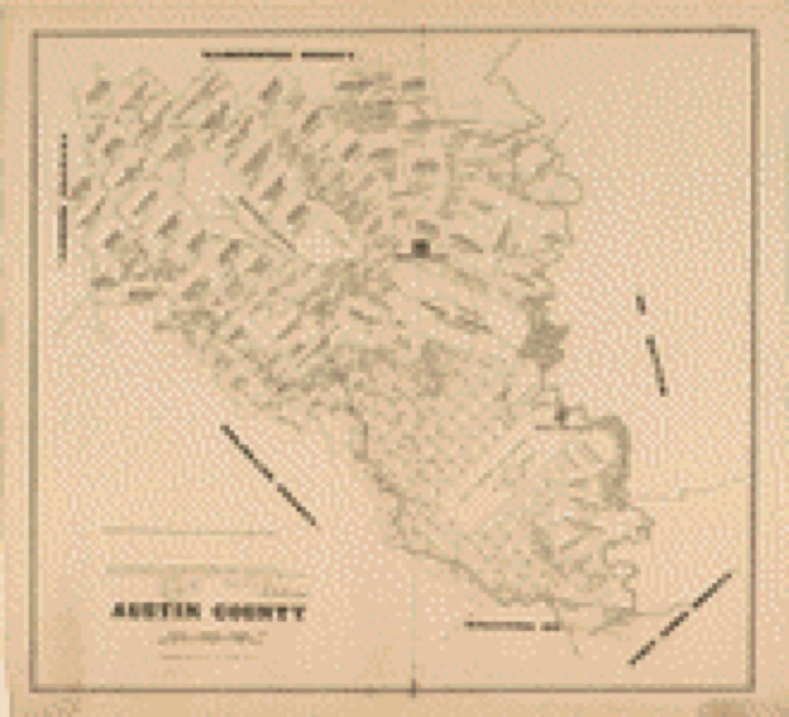
Drawn when these were printed as
single large sheets: the town seen from the air, and the county
divided into its farms with every owner named. Each opens the
original at the Library of Congress.
Land ownership map (1879) - Austin County. Library of Congress.
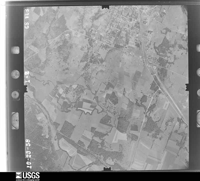
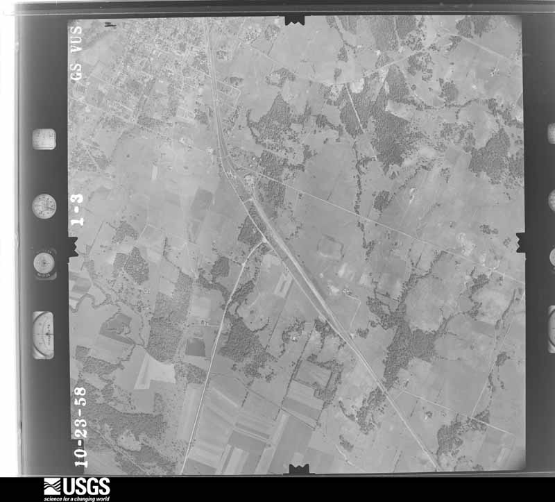
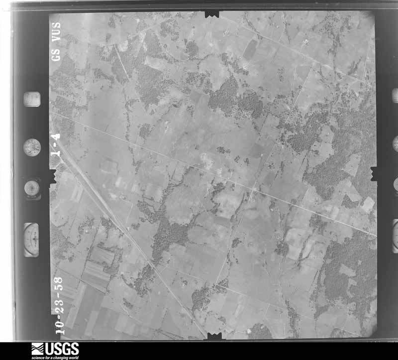
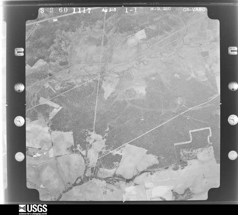
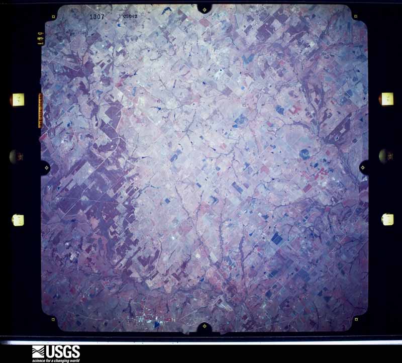
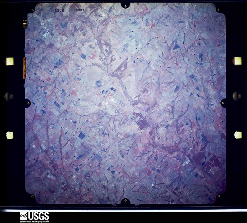
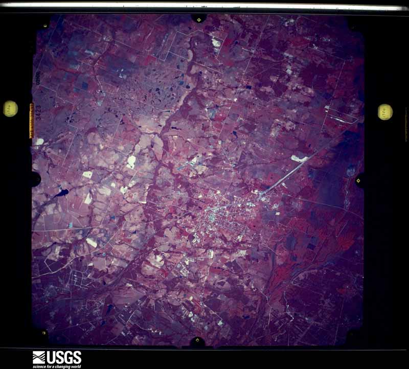
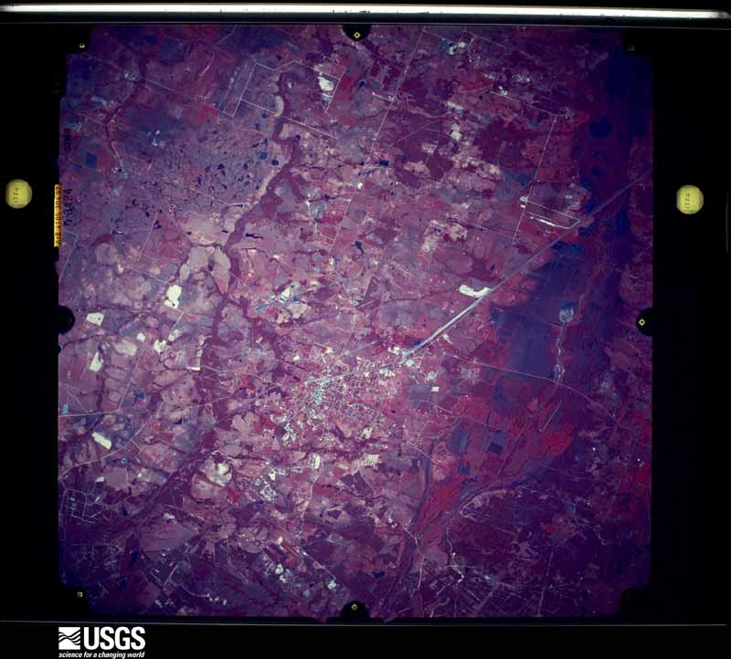
The county from the air
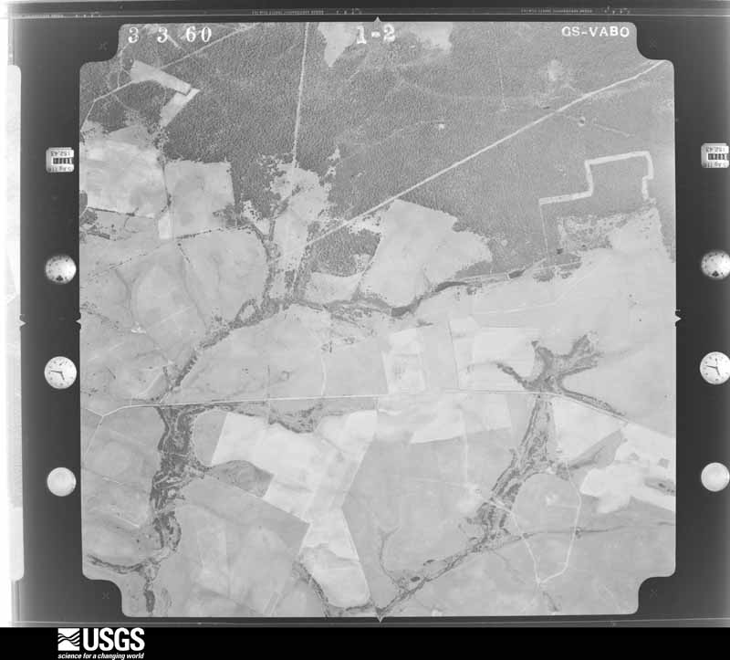
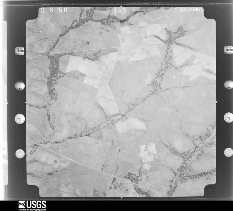
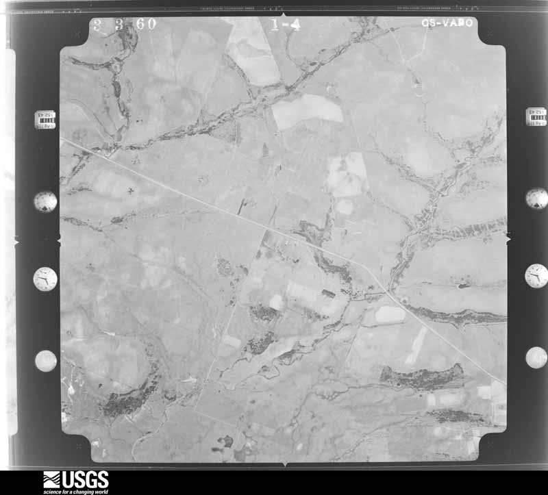
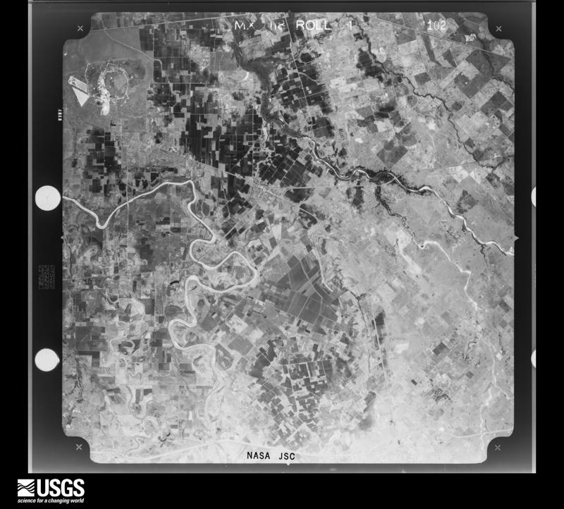
48 shown
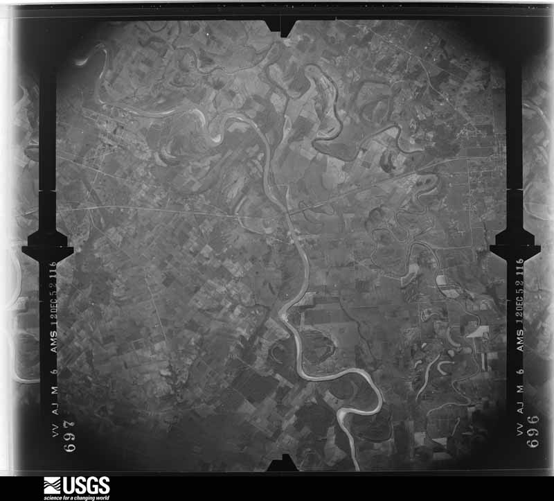
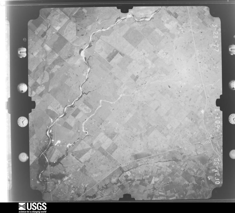
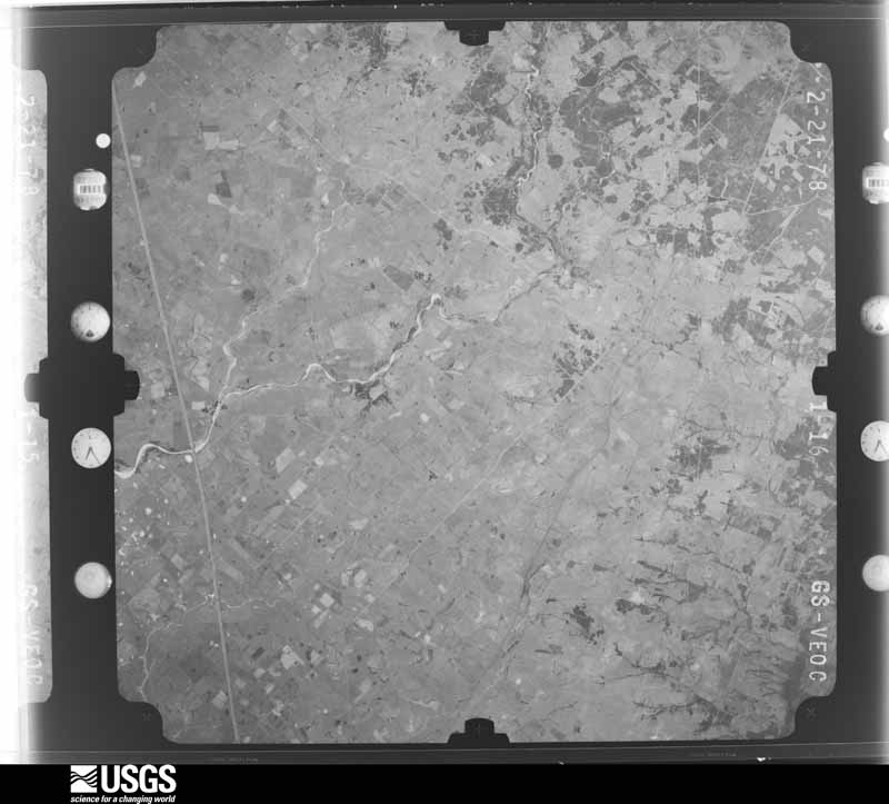
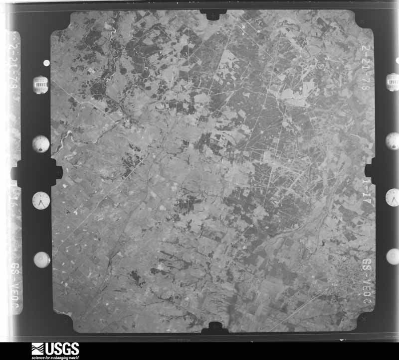
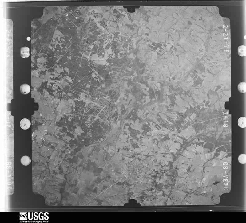
Flown by the U.S. Geological Survey
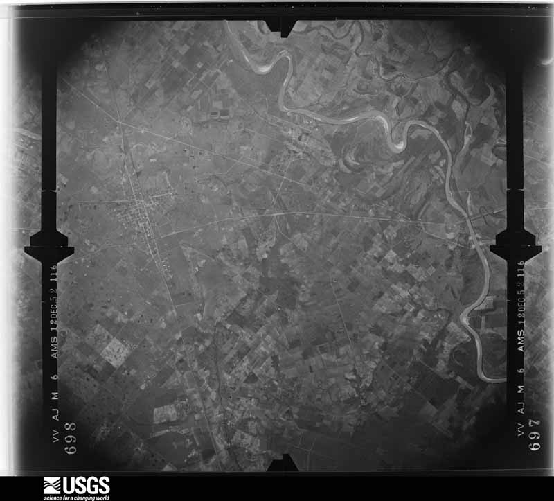
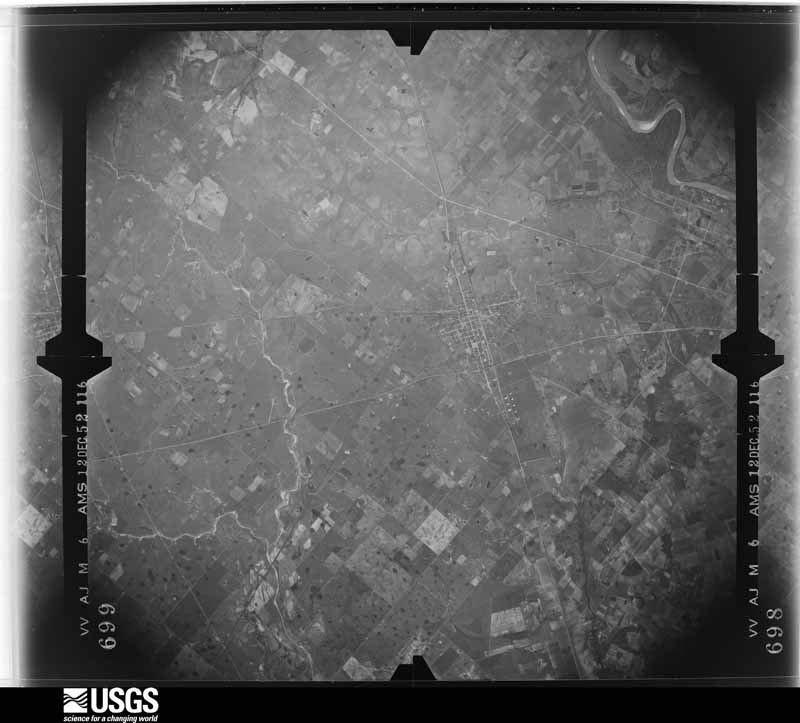
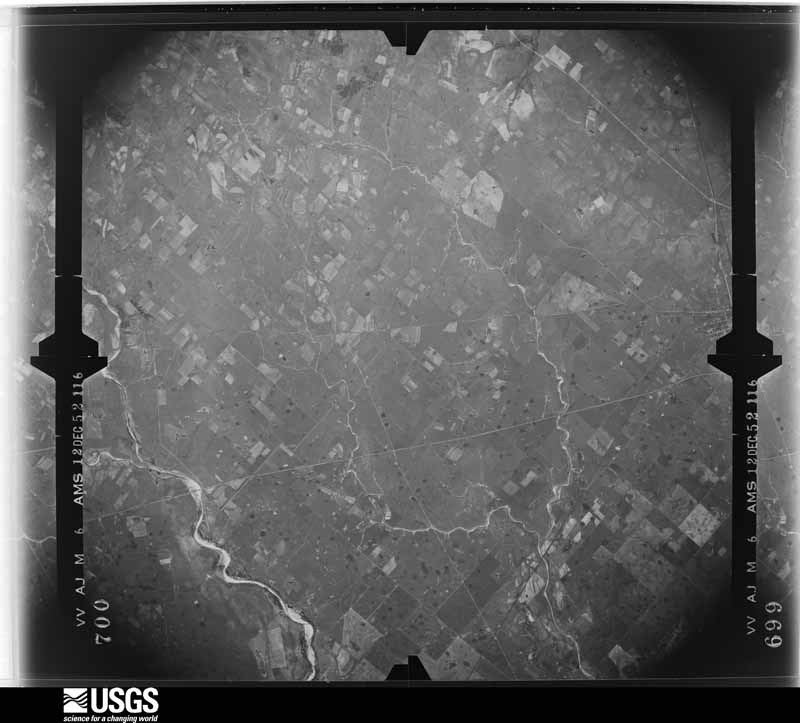
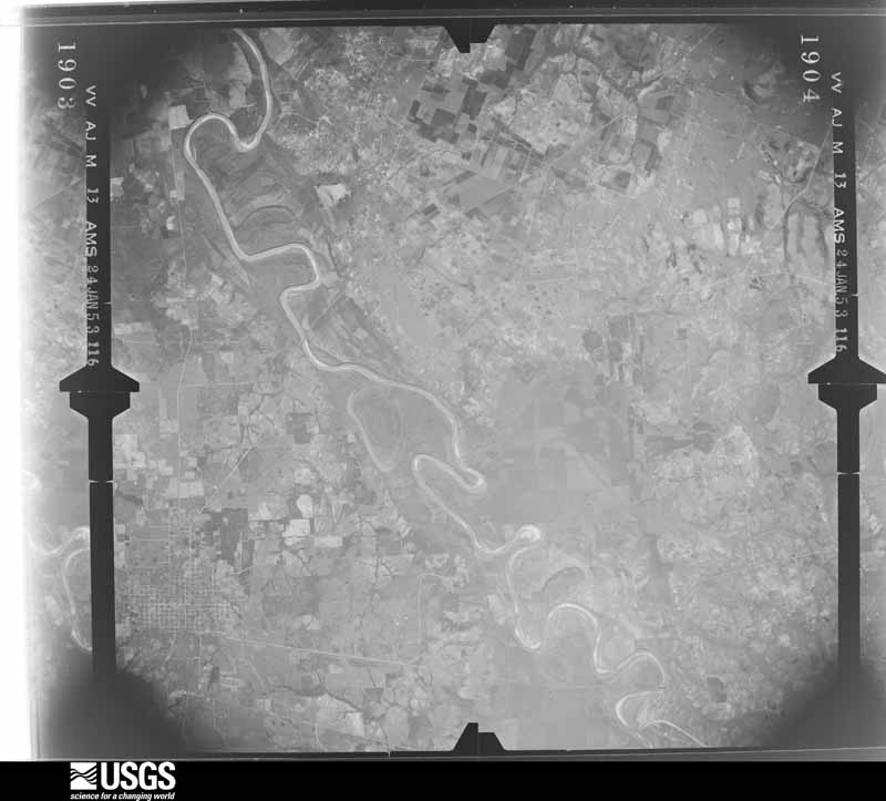
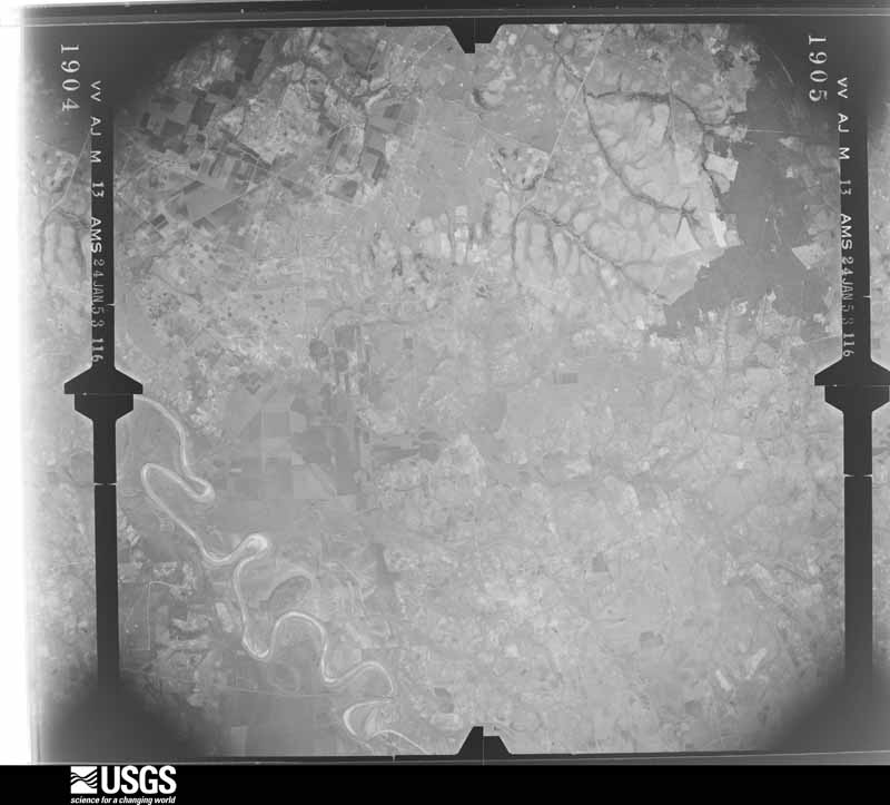
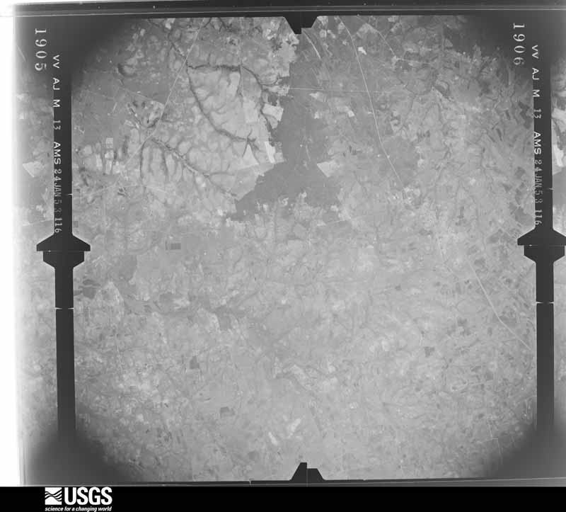
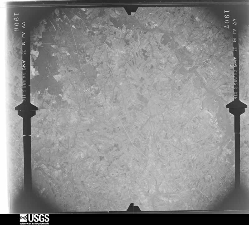
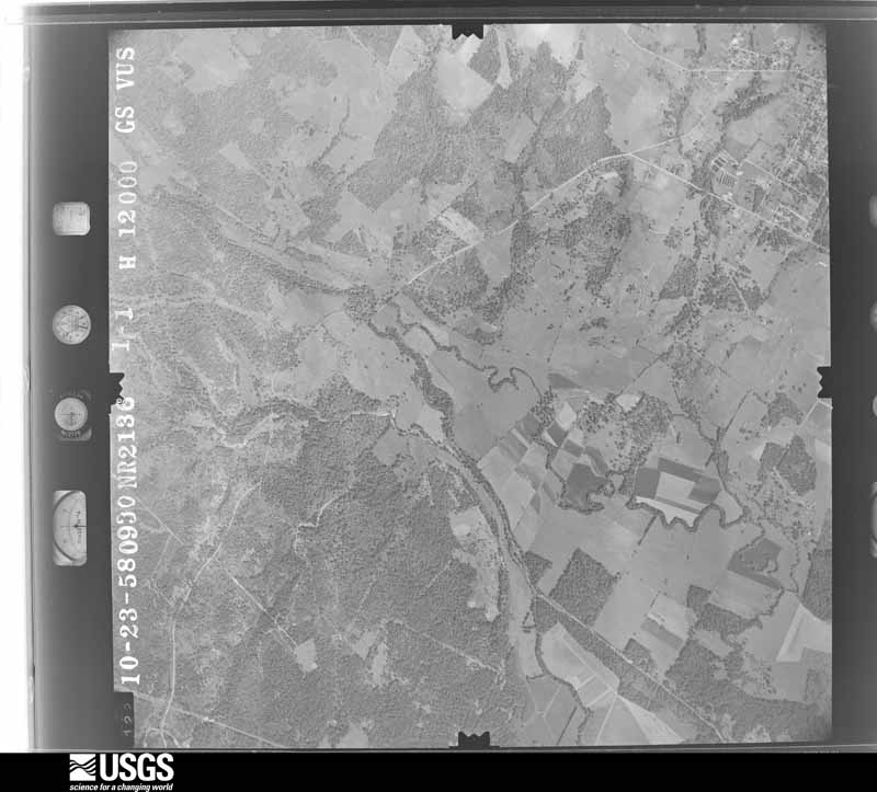
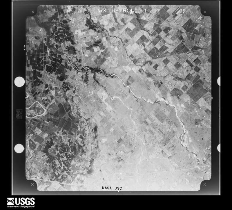
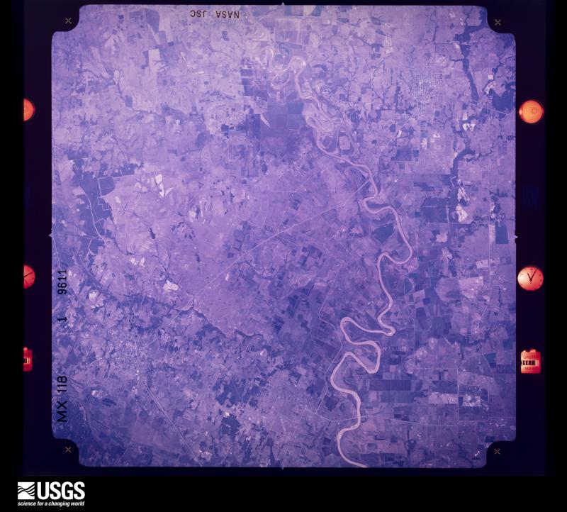
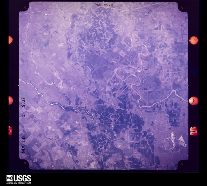
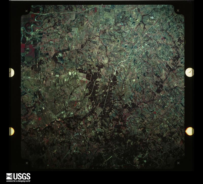
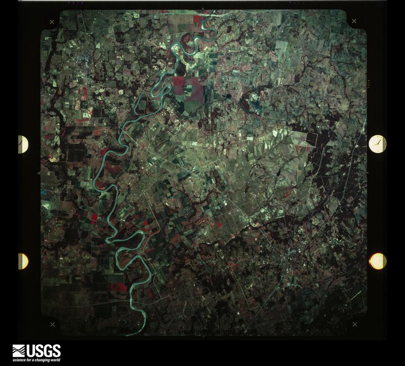
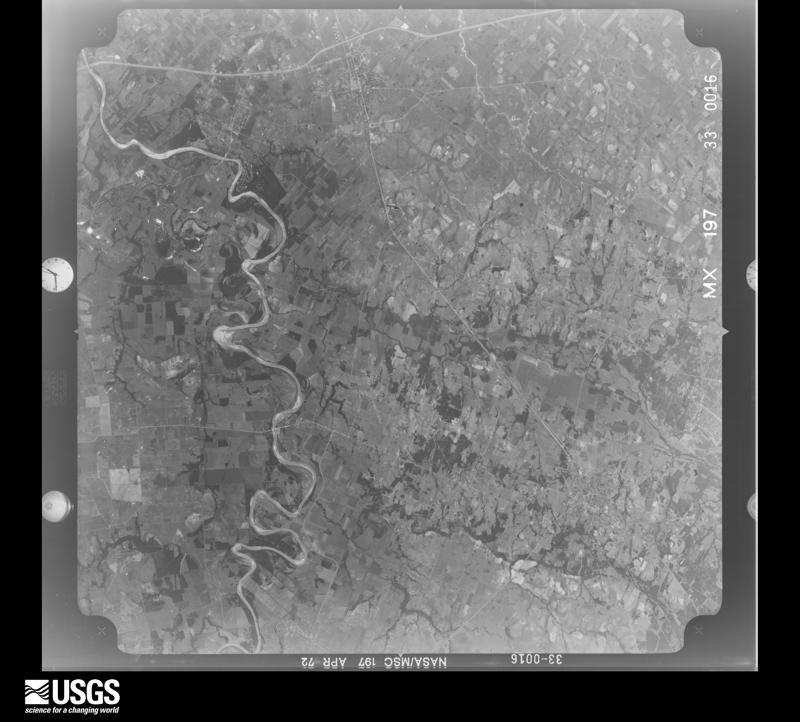
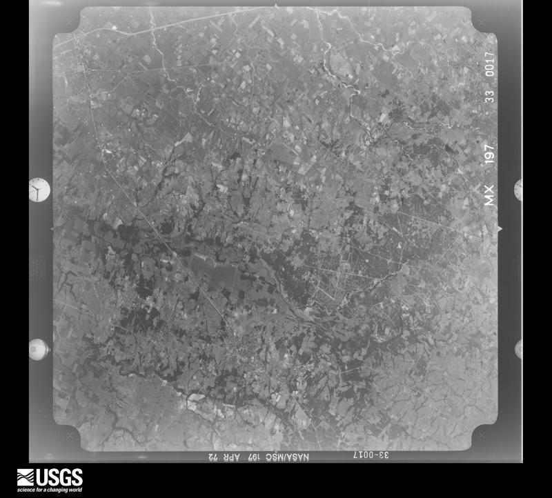
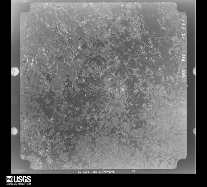
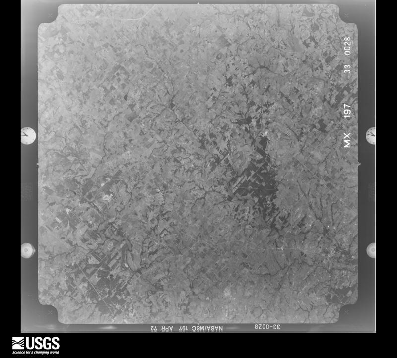
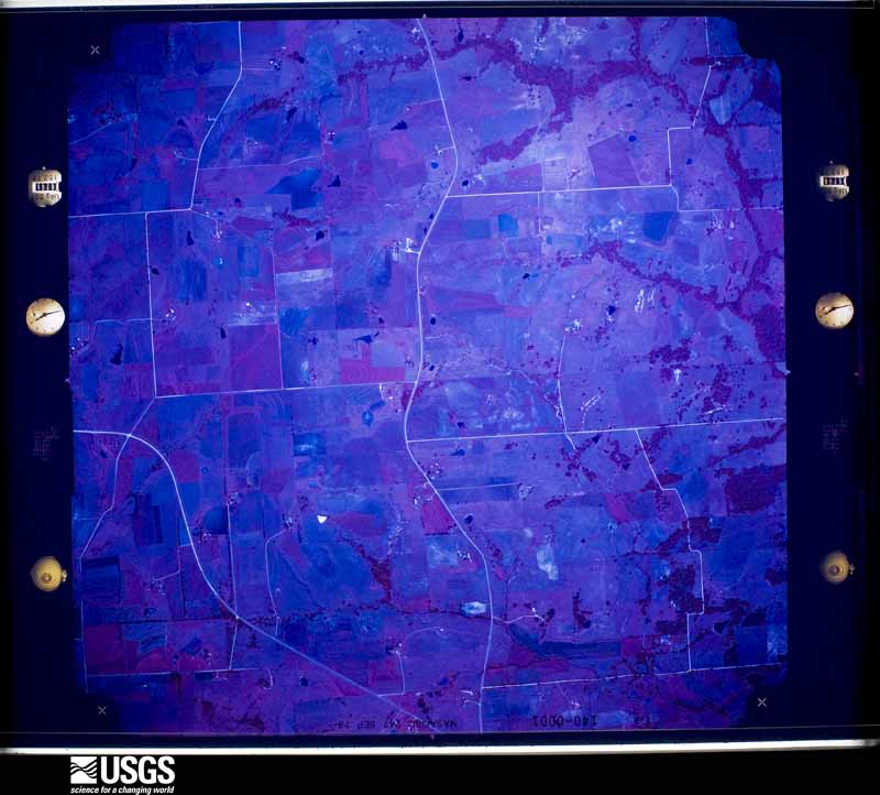
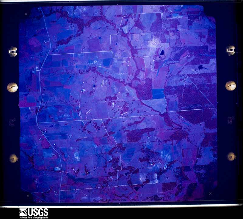
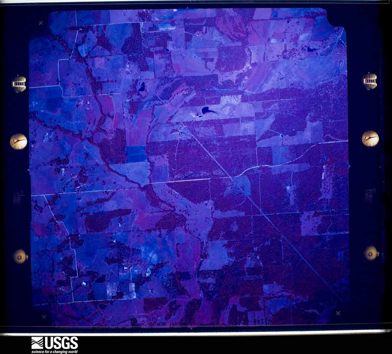
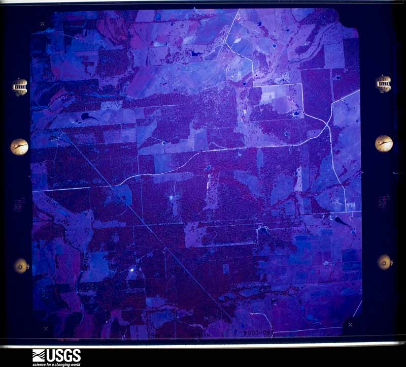
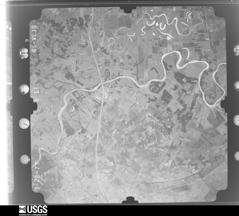
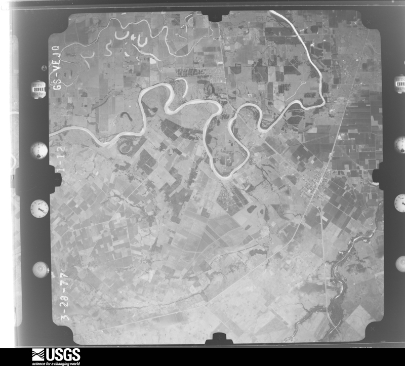
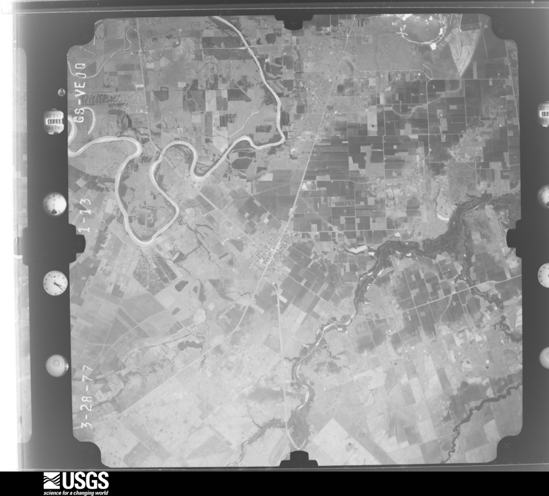
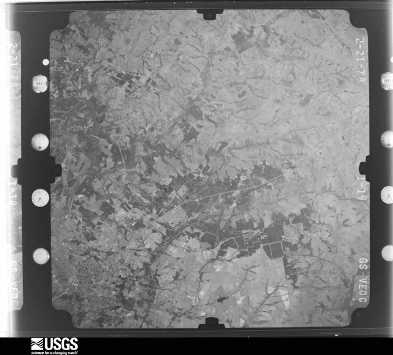
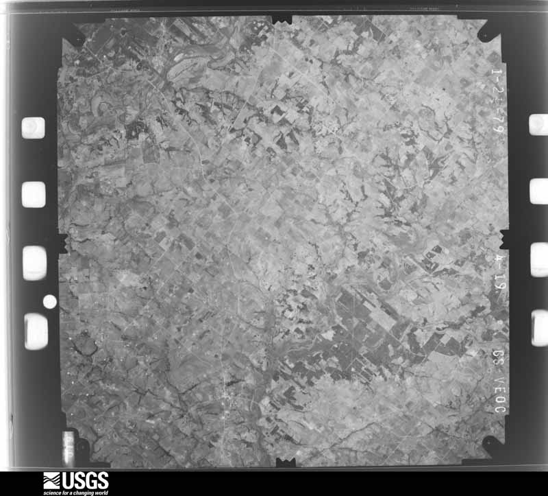
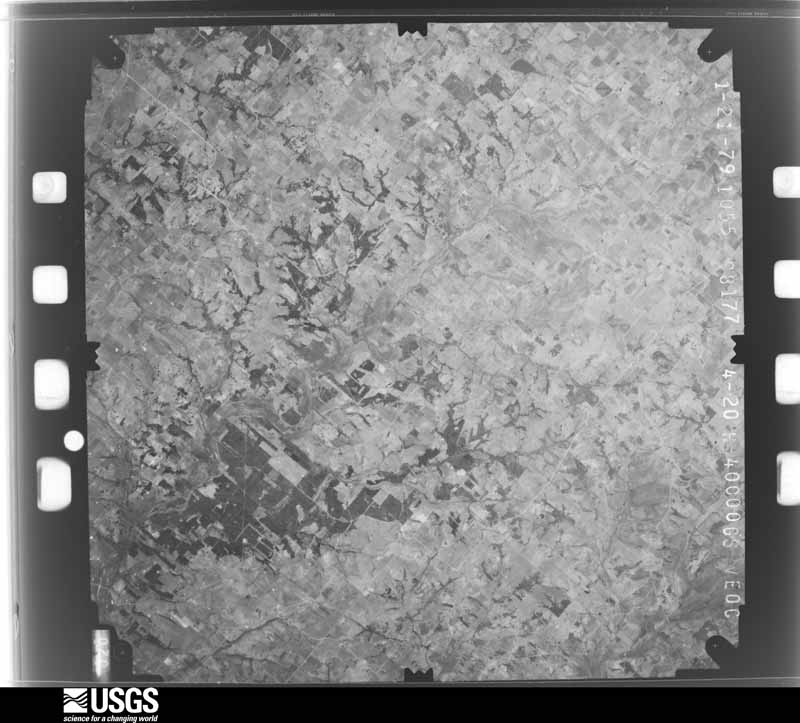
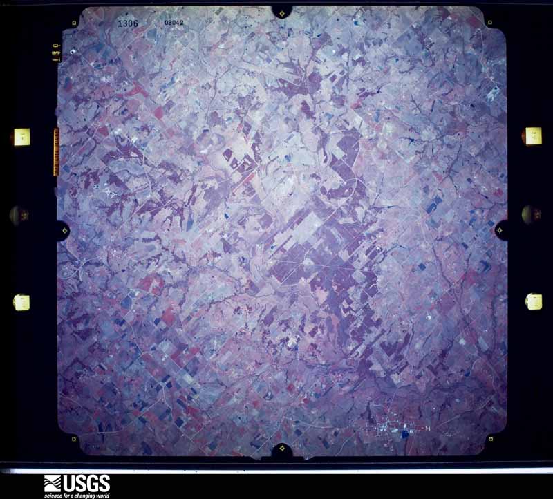
between 1937 and 1989, the Aerial Photo Single Frames collection is
the definitive mid-century view of the land: fields, roads and rivers
as the camera saw them. The Survey holds 1,264 frames inside the
rectangle that bounds this county; the 48 frames below were taken over
the county itself, chosen across the decades of flights (at most four
a year from that rectangle), so one flight cannot crowd out the rest.
The full set is free to browse and download at
EarthExplorer under the dataset Aerial Photo Single
Frames.
1952-12-11, scale 1:69000. U.S. Geological Survey aerial photograph.1952-12-11, scale 1:69000. U.S. Geological Survey aerial photograph.1952-12-11, scale 1:69000. U.S. Geological Survey aerial photograph.1952-12-11, scale 1:69000. U.S. Geological Survey aerial photograph.1953-01-24, scale 1:69000. U.S. Geological Survey aerial photograph.1953-01-24, scale 1:69000. U.S. Geological Survey aerial photograph.1953-01-24, scale 1:69000. U.S. Geological Survey aerial photograph.1953-01-24, scale 1:69000. U.S. Geological Survey aerial photograph.1958-12-01, scale 1:24000. U.S. Geological Survey aerial photograph.1958-12-01, scale 1:24000. U.S. Geological Survey aerial photograph.1958-12-01, scale 1:24000. U.S. Geological Survey aerial photograph.1958-12-01, scale 1:24000. U.S. Geological Survey aerial photograph.1960-03-03, scale 1:18500. U.S. Geological Survey aerial photograph.1960-03-03, scale 1:18500. U.S. Geological Survey aerial photograph.1960-03-03, scale 1:18500. U.S. Geological Survey aerial photograph.1960-03-03, scale 1:18500. U.S. Geological Survey aerial photograph.1970-01-07, scale 1:121480. U.S. Geological Survey aerial photograph.1970-01-07, scale 1:121480. U.S. Geological Survey aerial photograph.1970-01-07, scale 1:121527. U.S. Geological Survey aerial photograph.1970-01-07, scale 1:121480. U.S. Geological Survey aerial photograph.1971-11-11, scale 1:119969. U.S. Geological Survey aerial photograph.1971-11-11, scale 1:119070. U.S. Geological Survey aerial photograph.1971-11-11, scale 1:119070. U.S. Geological Survey aerial photograph.1971-11-11, scale 1:119070. U.S. Geological Survey aerial photograph.1972-04-18, scale 1:121521. U.S. Geological Survey aerial photograph.1972-04-18, scale 1:121521. U.S. Geological Survey aerial photograph.1972-04-18, scale 1:121521. U.S. Geological Survey aerial photograph.1972-04-18, scale 1:121282. U.S. Geological Survey aerial photograph.1973-09-15, scale 1:21062. U.S. Geological Survey aerial photograph.1973-09-15, scale 1:21062. U.S. Geological Survey aerial photograph.1973-09-15, scale 1:21062. U.S. Geological Survey aerial photograph.1973-09-15, scale 1:21062. U.S. Geological Survey aerial photograph.1977-03-28, scale 1:80000. U.S. Geological Survey aerial photograph.1977-03-28, scale 1:80000. U.S. Geological Survey aerial photograph.1977-03-28, scale 1:80000. U.S. Geological Survey aerial photograph.1977-03-28, scale 1:80000. U.S. Geological Survey aerial photograph.1978-02-21, scale 1:80000. U.S. Geological Survey aerial photograph.1978-02-21, scale 1:80000. U.S. Geological Survey aerial photograph.1978-02-21, scale 1:80000. U.S. Geological Survey aerial photograph.1978-02-21, scale 1:80000. U.S. Geological Survey aerial photograph.1979-01-21, scale 1:80000. U.S. Geological Survey aerial photograph.1979-01-21, scale 1:80000. U.S. Geological Survey aerial photograph.1982-02-28, scale 1:65666. U.S. Geological Survey aerial photograph.1982-02-28, scale 1:65666. U.S. Geological Survey aerial photograph.1982-02-28, scale 1:65333. U.S. Geological Survey aerial photograph.1982-02-28, scale 1:65333. U.S. Geological Survey aerial photograph.1983-03-28, scale 1:66500. U.S. Geological Survey aerial photograph.1983-03-28, scale 1:66500. U.S. Geological Survey aerial photograph.
Weather records
31 stations, 1 gage
The thermometers that kept this county's weather, and the gages that measured the flow of its streams, as the federal records hold them. The extremes below are measured values from those records, not estimates.
SEALY1910 to 2003, hottest 43.9 C, coldest -17.8 C
BELLVILLE 6NNE1978 to 2026, hottest 42.8 C, coldest -15.0 C
Who lived here in 1950, one enumeration
district at a time, as the Census Bureau described each district.
Each row opens its official National Archives result, with Population
Schedules and ED Maps available there.
8-1Justice Precinct 1 : Bellville city: Bellville city - That part Bounded by City limits; City limits; 6th, Gulf, Colorado and Santa Fe Railway, Austin extended, Austin; N. Holland
8-2Bellville city - That part Bounded by City limits; N. Holland; Austin, City limits; City limits
8-3Bellville city - That part Bounded by Austin; Gulf, Colorado and Santa Fe Railway, 6th, City limits; City limits; City limits
8-4Justice Precinct 1 - That part south of State Hwy. 159 and north of Piney Creek
8-5Justice Precinct 1 - That part north of State Hwy. 159 and Piney Creek
8-6Justice Precinct 1 - That part south of Piney Creek, west of State Hwy. 159 and west of State Hwy. 36, outside Bellville city
8-7Justice Precinct 1 - That part south of Piney Creek, east of State Hwy. 36 and east of State Hwy. 159, outside Bellville city
8-8Justice Precinct 2: Justice Precinct 2 - That part northeast of Unnamed road extending northwestward from precinct line to Washington County line
8-9Justice Precinct 2 - That part southwest of Unnamed road extending southeastward from Washington County line to precinct line
8-13Justice Precinct 3 - That part north of U.S. Hwy. 90 and east of Gulf, Colorado and Santa Fe Railway, outside San Felipe town and Sealy city
8-14Justice Precinct 3 - That part northwest of Gulf, Colorado and Santa Fe Railway (Sealy - Eagle Lake Branch) and west of Gulf, Colorado and Santa Fe Railway (Main Line), outside Sealy city
8-15Justice Precinct 3 - That part west of Gulf, Colorado and Santa Fe Railway (Main Line) and southeast of Gulf, Colorado and Santa Fe Railway (Sealy - Eagle Lake Branch), outside Sealy city
8-16Justice Precinct 3 - That part south of U.S. Hwy. 90 and east of Gulf, Colorado and Santa Fe Railway, outside Sealy city
8-17Justice Precinct 4: the filce Precinct 4 - That part north of Missouri Kansas Texas Railroad
8-18Justice Precinct 4 - That part south of Missouri Kansas Texas Railroad
8-19Justice Precinct 5: Justice Precinct 5 - That part north of State Hwy. 159
8-20Justice Precinct 5 - That part south of State Hwy. 159, west of State Hwy. 109 and north of Missouri Kansas Texas Railroad
8-21Justice Precinct 5 - That part south of State Hwy. 159, south of Missouri Kansas Texas Railroad and east of State Hwy. 109
8-22Justice Precinct 6: Justice Precinct 6 - That part east of State Hwy. 36
8-23Justice Precinct 6 - That part west of State Hwy. 36 and northeast Unnamed road extending northward from State Hwy. 36 to Washington County line
8-24Justice Precinct 6 - That part southwest of Unnamed road extending southward from Washington County line to State Hwy. 36 and west of State Hwy. 36
8-25Justice Precinct 7: Justice Precinct 7 - That part north of State Hwy. 159
8-26Justice Precinct 7 - That part south of State Hwy. 159
8-27Justice Precinct 8: Justice Precinct 8 - That part northeast of Gulf, Colorado and Santa Fe Railway
8-28Justice Precinct 8 - That part southwest of Gulf, Colorado and Santa Fe Railway
Wildfire,
1996 to 2020
214 fires
Every wildfire the federal occurrence
database records inside this county: 214 of them, burning
about 2,956 acres. 2 started naturally and 4 were recorded as arson. Each settlement page carries the fires within
five miles of it.
Reported cause
Fires
Debris and open burning
92
Missing data/not specified/undetermined
41
Equipment and vehicle use
40
Power generation/transmission/distribution
24
Smoking
7
Arson/incendiarism
4
Recreation and ceremony
2
Natural
2
Misuse of fire by a minor
1
Railroad operations and maintenance
1
The five largest, by the area the report
gives. None of them was recorded as arson.
Date
Cause
Size
Reported by
Name on the report
3 August 1998
Equipment and vehicle use
700 acres
Texas A & M Forest Service
not named
28 January 2016
Missing data/not specified/undetermined
659 acres
Attwater Prarie Chicken National Wildlife Refuge
ZARUBA ESCAPE
7 December 2020
Missing data/not specified/undetermined
175 acres
Texas A & M Forest Service
GRASS FIRE
8 January 2006
Recreation and ceremony
138 acres
Texas A & M Forest Service
WEST ZONE SOUTH - 18
16 February 2017
Debris and open burning
125 acres
Texas A & M Forest Service
I-10 PYKA RD
12 February 2009
Equipment and vehicle use
75 acres
Texas A & M Forest Service
09-0000041
20 March 2018
Missing data/not specified/undetermined
50 acres
Texas A & M Forest Service
GRASS FIRE
9 December 2010
Debris and open burning
35 acres
Texas A & M Forest Service
BELLVILLE/ LYNN ROAD
Every settlement page carries the fires within five
miles of it - see the settlement index below.
Storms,
1950 to 2026
60 of 227 shown
The
NOAA Storm Events Database holds
227 reports for this county, causing 4 deaths, 7 injuries and about $14,158,120 in recorded property damage.
Each settlement page carries the reports that name it.
Kind of event
Reports
Thunderstorm Wind
84
Hail
65
Flash Flood
41
Tornado
27
Funnel Cloud
9
Flood
1
The most serious of them, by death, then
injury, then recorded damage. The accounts are quoted exactly as the
forecast office filed them.
A vehicle drove into a low water crossing and was swept 100 yards downstream. Of the three persons in the vehicle, one escaped to shore while the other two perished due to drowning. Their bodies were discovered between 3/4 of a mile and 2 miles downstream from the mostly-submerged vehicle.
The following roads either inundated with water and/or closed due to being flooded; FM 2429 south of Bellville, FM 529 and FM 331 east of Bellville. A report at 0309 CST stated that that there were numerous road closures due to flooding across a large part of the county, especially over the central and north part of the county. A female resident drowned when driving into high water on Plumb Creek Road. Damage amounts estimated.
Severe thunderstorms moved rapidly across the Sealy area, and a very intense and wet microburst produced significant wind damage to trees, structures and utility poles. Wind gusts may have exceeded 80 to 100 mph. The most significant damage began along or just northwest of Interstate 10 a few miles west of Sealy and moved in an approximate two mile wide swath south of the Interstate toward Highway 36. Damage included an 18 wheeler truck blown over, car windows blown out and part of a roof blown off at Sealy High School.
This tornado touched down northwest of Bellville near SH 36 then tracked along and across Koy Road. The path then crossed SH 159 near Koy Road. Numerous hardwood trees were snapped or uprooted . There was damage to one business where the metal roof was removed. At least two homes sustained damage from high winds, tree and debris impacts.
Numerous roads closed due to flooding including but not limited to FM109, FM 331, FM 2429, FM 1093 and SH 36. Moderate, yet record, flooding along the Brazos at San|Felipe caused several homes to flood along FM 1458. Inundation ranged from 4 to 7 feet of water. Minimal impacts were observed at Mill creek near Bellville. No impacts were observed from the minor flooding at the Brazos river near Hempstead.
Flooding in and around the intersection of Rinn Road and FM 109. Three vehicles were swept off the road. Three occupants were successfully rescued from one of the three vehicles after it became pinned against bridge pilings. One home in the area suffered water damage.
Major flooding across the county, especially the southern half near Sealy and San Felipe. HWY 36 flooded.I-10 closed near mile marker 725 with 15 to 20 rescues of stranded motorists by 236 am. San Felipe evacuated at 355 am.
Numerous cedar trees downed around home with a mobile trailer flipped over. Roof blown off a horse barn with minor damage to surrounding small structures off of Highway 60.
Heavy rains caused flash flooding in and around the Sealy area. Several roads throughout the area were impassable, including the intersection of Highway 36 and Highway 90. There was some water damage to the Sealy Intermediate and Sealy Junior High schools.
Severe thunderstorm wind gusts downed trees and power lines from Brazoria southwestward to around 1 mile west of the San Bernard River.
Mines and
quarries
7 recorded
The Survey's mineral resources record
lists 7 workings inside this county. 6 still produce and 1 is closed or unrecorded. Each
settlement page carries the workings within five miles of it.
Commodity
Workings
Sand and Gravel, Construction
5
Clay
1
Halite
1
The least common of them first, because a
county's hundredth gravel pit says nothing its first ten did not.
Named settlements recorded in the Geographic Names
Information System, each with the topographic sheets covering it. Villages,
hamlets and abandoned places alike. Each is shown with the nearest named
watercourse or landform and the survey quadrangle it falls on. The 2 places that were also surveyed for fire insurance come first, with the number of atlases and photographs held for them.
The complete index, with nothing left out.
Each of these is a separate record with its own page: a federal survey
report, or the case file that argued a property on to the National
Register. Both are public domain and reproduced word for word.
Topographic sheets. USGS Historical Topographic Map Collection, county index, measured from the bulk metadata.
Fire insurance maps. Library of Congress Sanborn collection, faceted to this county.
Photographs. Each place queried individually against the Library of Congress Prints and Photographs search.
Wildfire. Short, Karen C. 2022. Spatial wildfire occurrence data for the United States, 1992-2020 [FPA_FOD_20221014]. 6th Edition. Fort Collins, CO: Forest Service Research Data Archive. https://doi.org/10.2737/RDS-2013-0009.6 Collected with United States Government funding and usable without additional permissions or fees.
Mines and quarries. USGS Mineral Resources Data System (MRDS) https://mrdata.usgs.gov/mrds/ A work of the United States government, no copyright under 17 U.S.C. 105.
Storms. NOAA National Centers for Environmental Information, Storm Events Database https://www.ncei.noaa.gov/stormevents/ A work of the United States government, no copyright under 17 U.S.C. 105. Narratives are quoted verbatim from the National Weather Service report and are not edited or summarised.
 Block
Block