 Block
BlockFrom the record
5 National Register listings published here.
Sources: the county history on the Internet Archive · the National Register database, National Park Service
30 topographic sheets and 1 fire insurance atlases across 1 place.
5 National Register listings published here.
Sources: the county history on the Internet Archive · the National Register database, National Park Service
Taken for the Office of War Information and the Farm Security Administration, who photographed the country between 1935 and 1944. Works of United States government photographers, with no known restriction on use. Each opens its catalogue record.



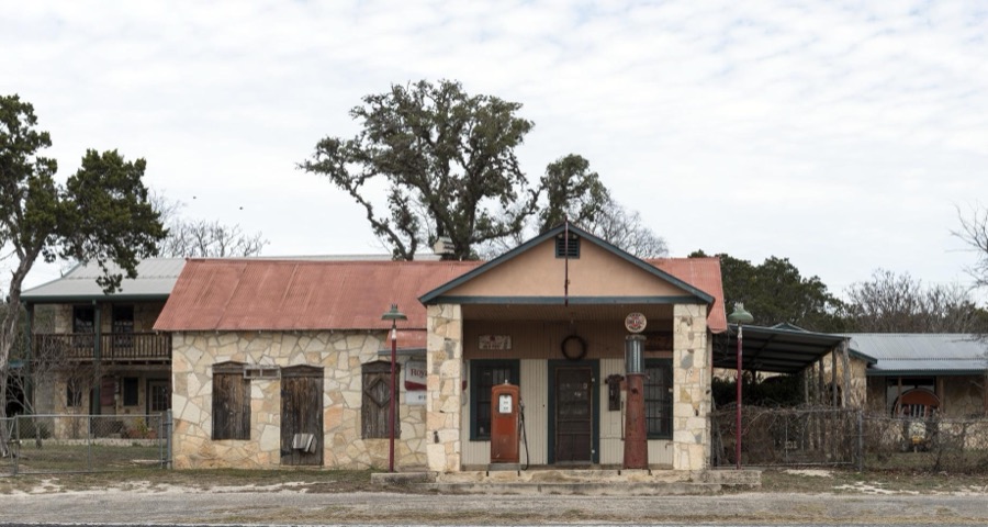
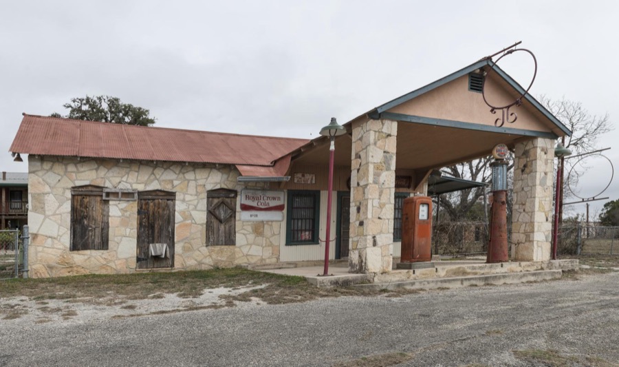
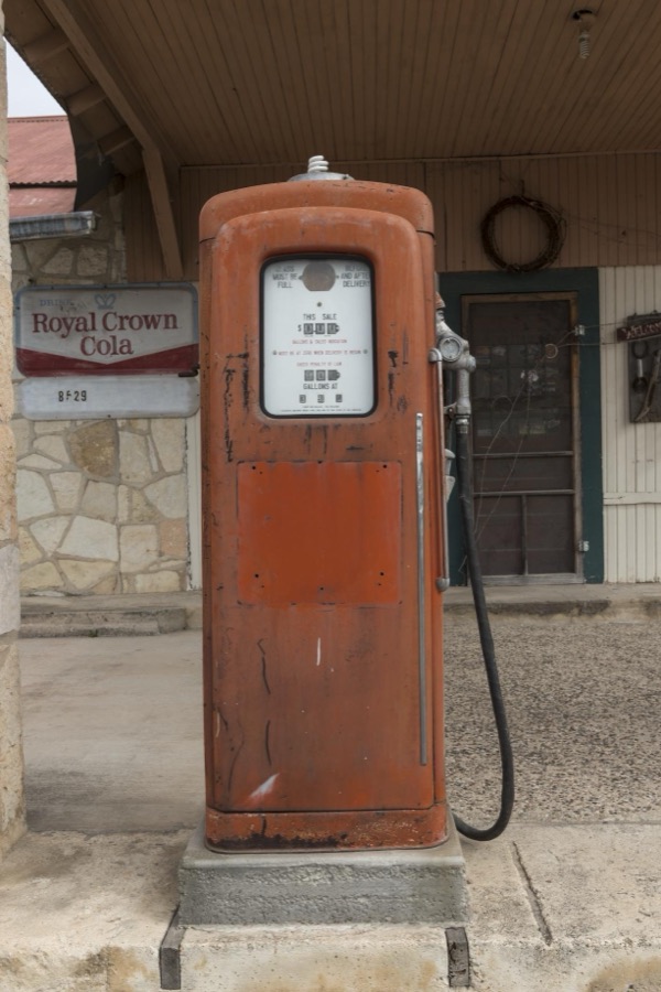
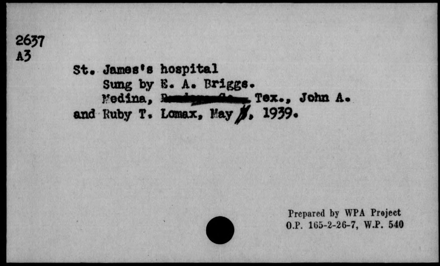
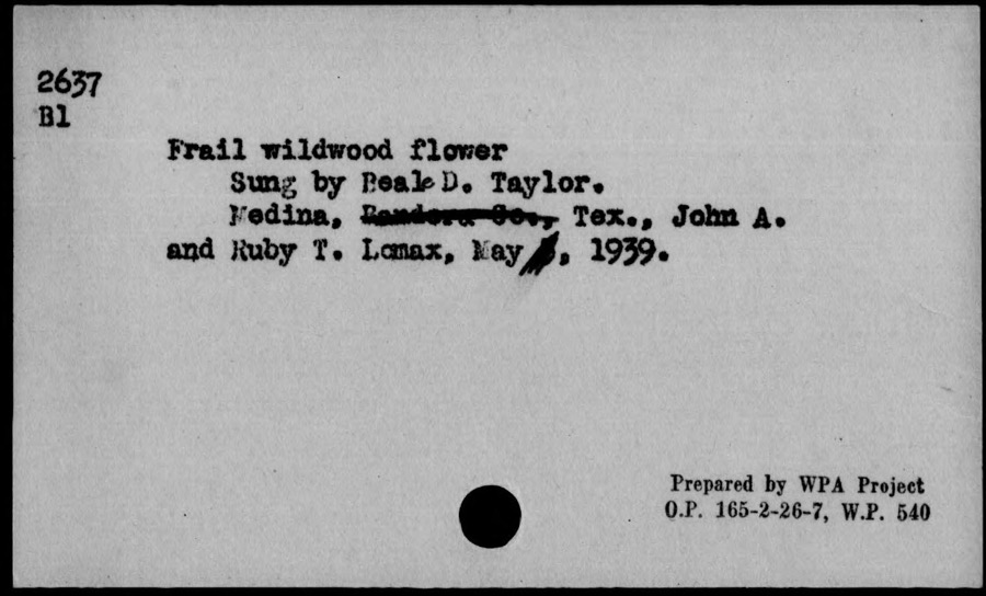
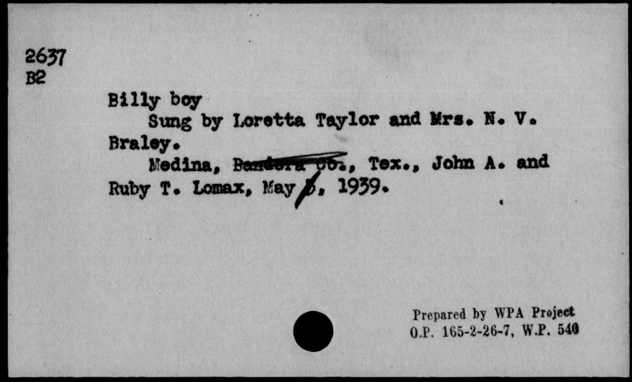
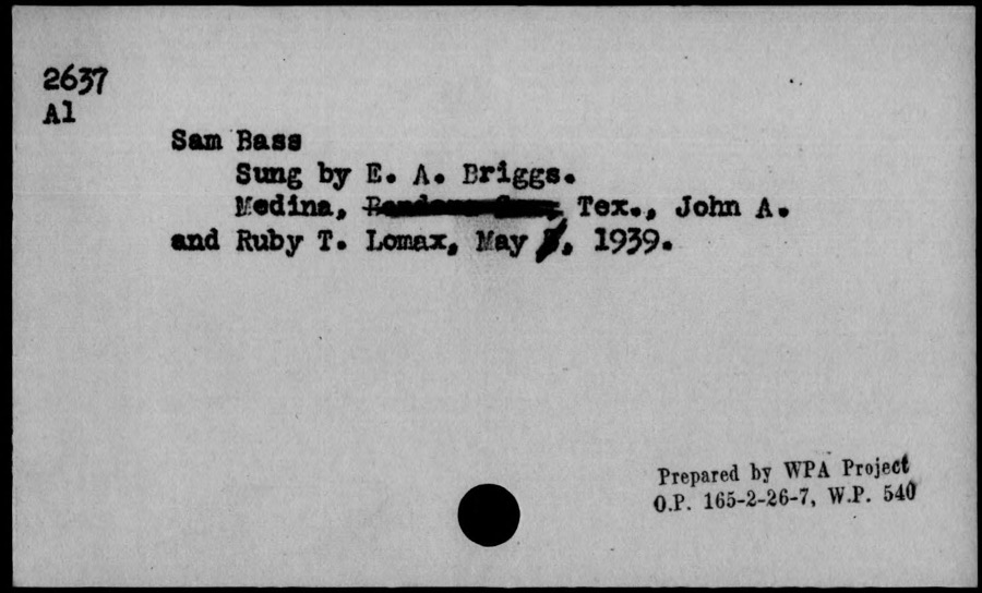
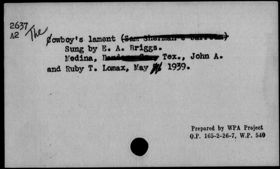
Every property in this county listed on the National Register of Historic Places, with the year it was listed and the federal nomination document.
| Photograph | Property | Type | Listed | Reference |
|---|---|---|---|---|
 | Bandera County Courthouse and Jail | building | 1979 | 79002911 |
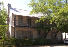 | Jureczki House | building | 1980 | 80004075 |
 | Langford, B.F., Jr. and Mary Hay, House | building | 2004 | 04000229 |
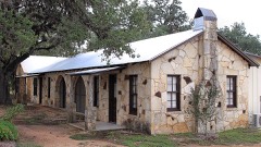 | River Oaks Courts | district | 2019 | 100003354 |
Drawn when these were printed as single large sheets: the town seen from the air, and the county divided into its farms with every owner named. Each opens the original at the Library of Congress.

Selected from the Digital Public Library of America's 1 image records catalogued for this county. Every one shown here carries a public-domain status or a licence that permits reuse on a site that carries advertising; non-commercial, share-alike and restricted images are excluded. The selection is spread across the county's towns (at most eight per town), so no single institution's bulk upload crowds out the rest. Each opens the holding library's record, and the complete set at the Digital Public Library of America is one click away.

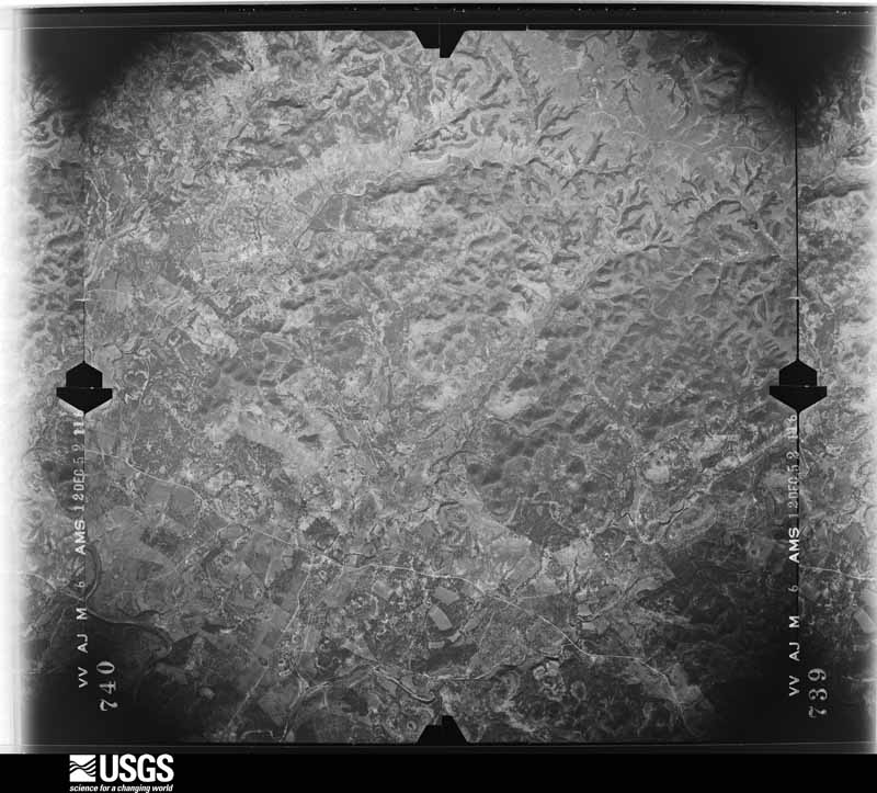
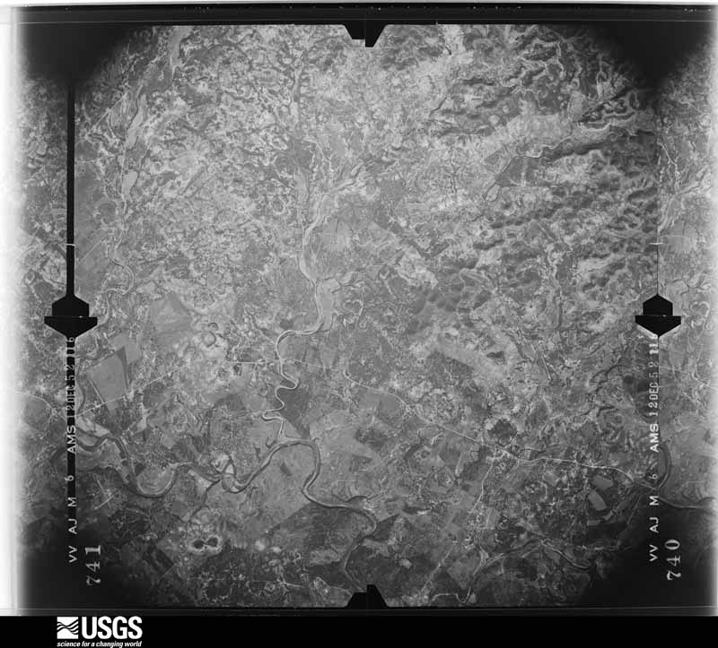
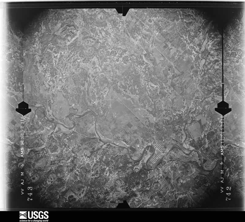
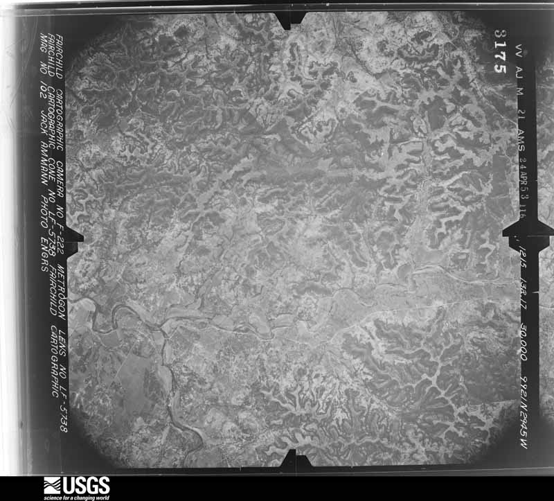
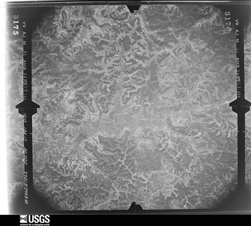
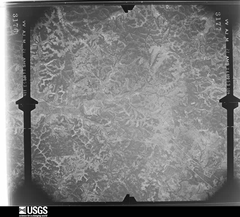
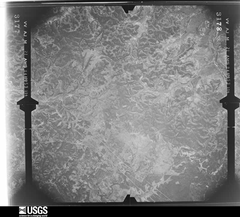
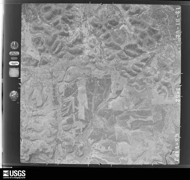
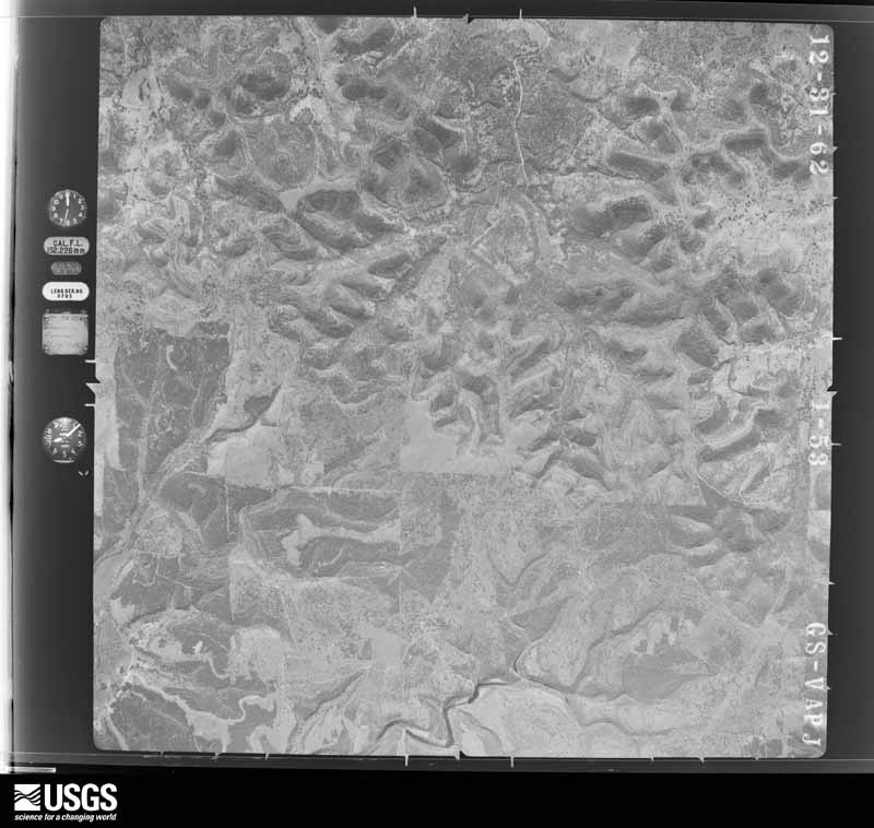
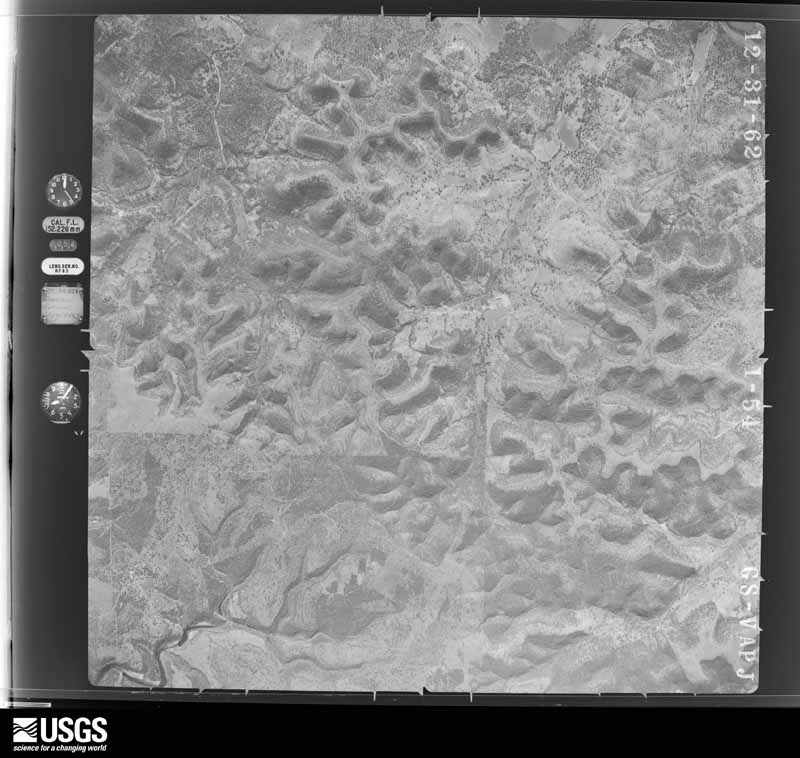
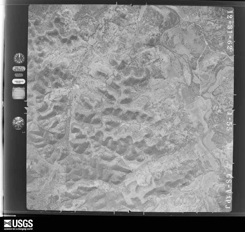
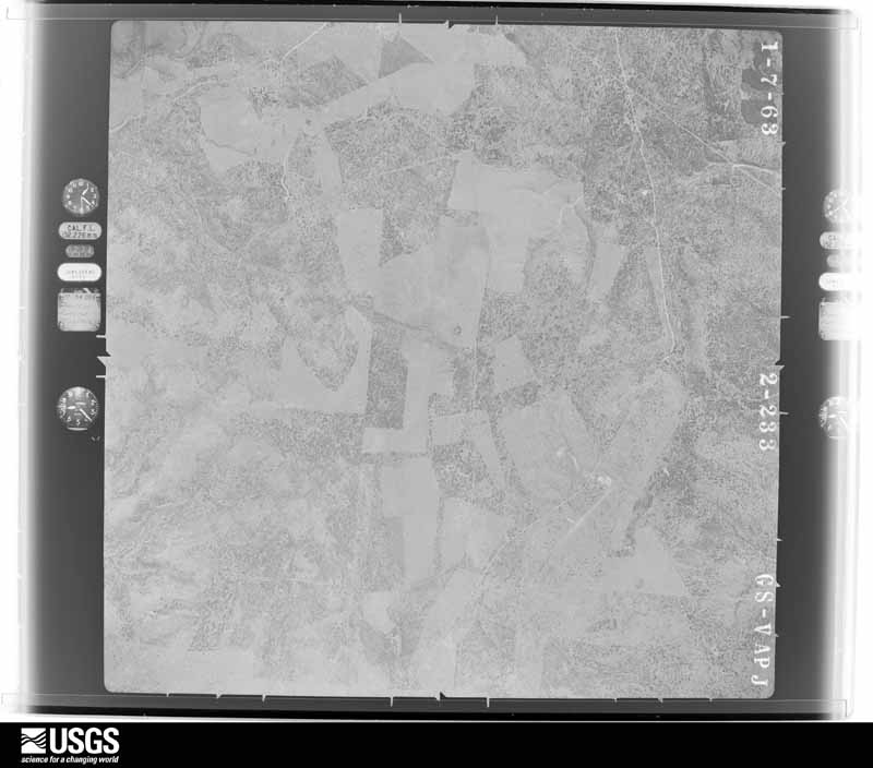
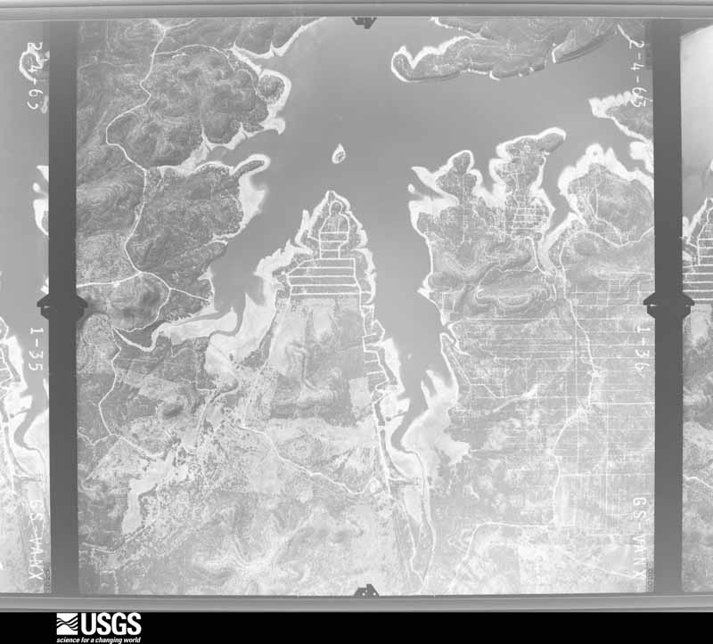
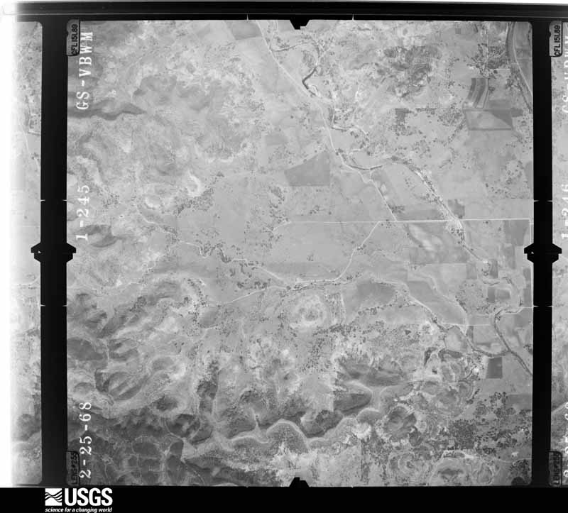
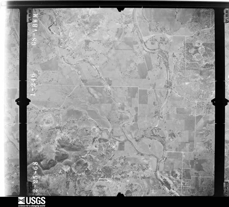
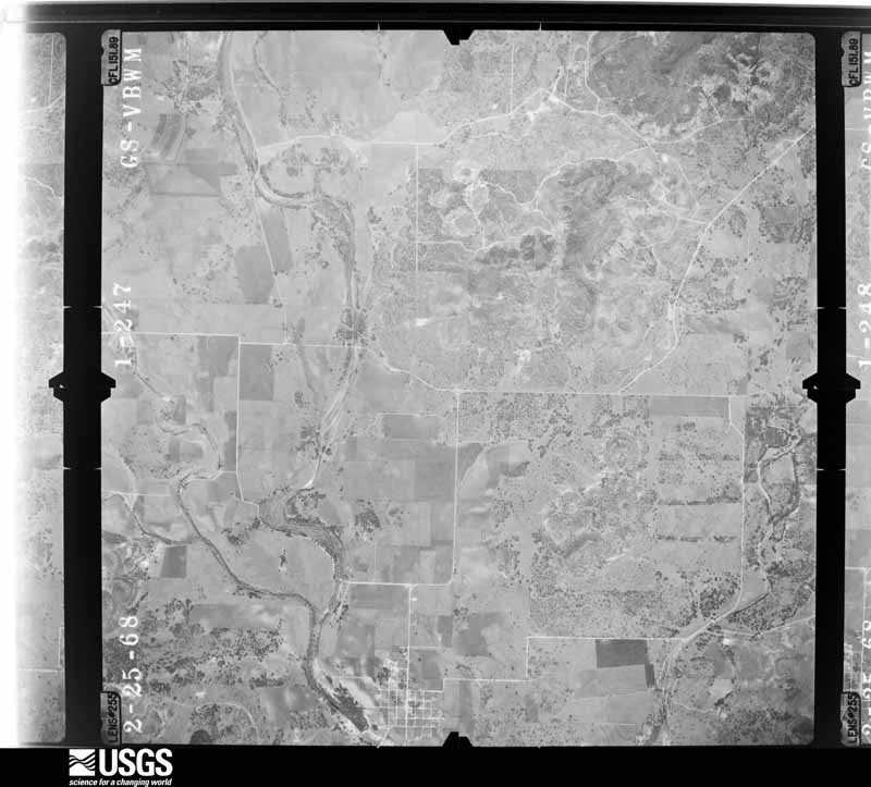
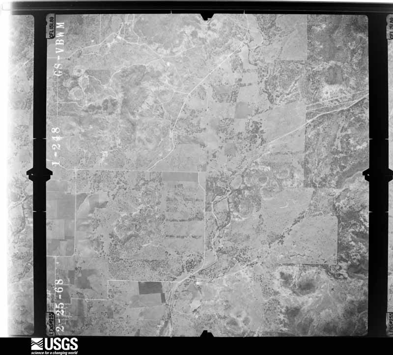
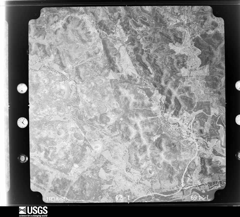
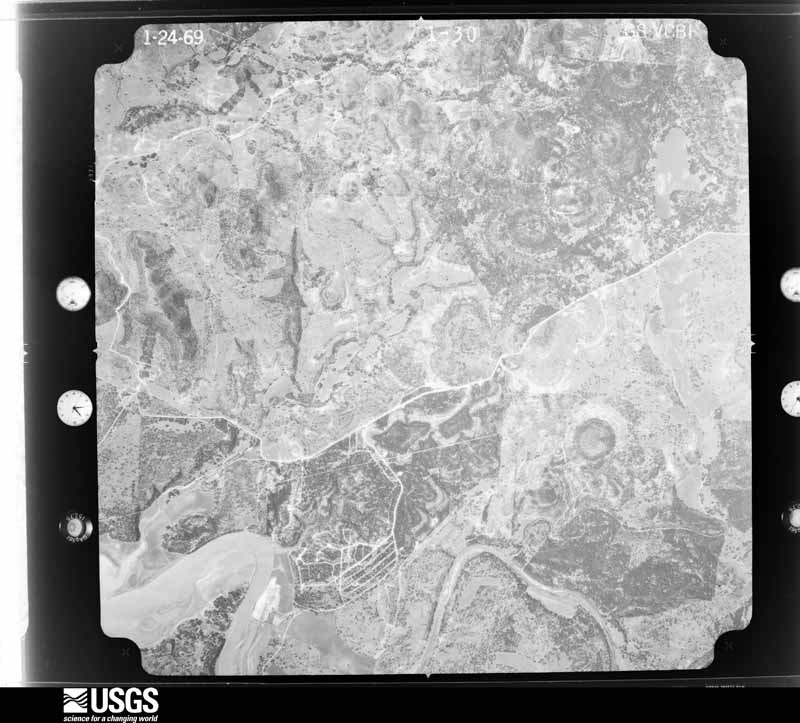
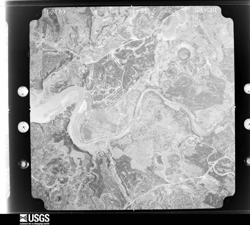
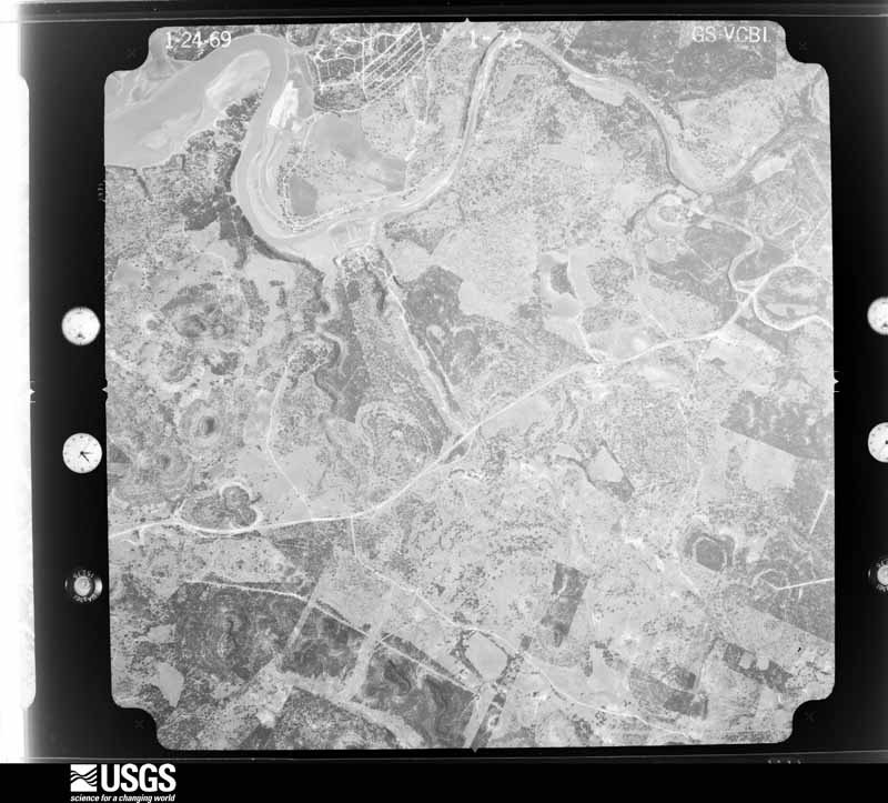
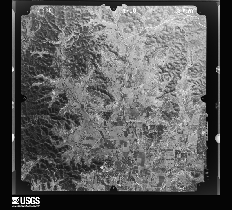
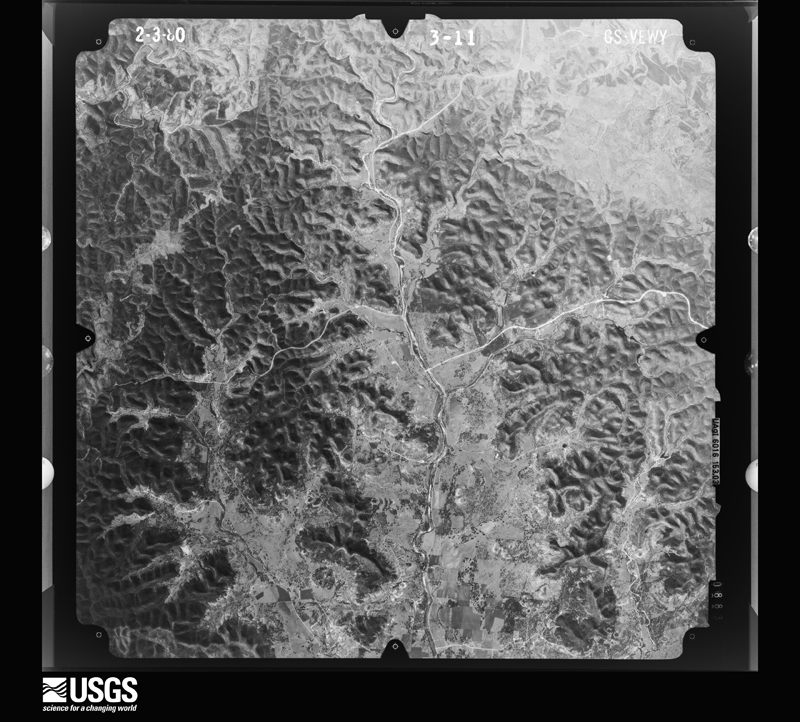
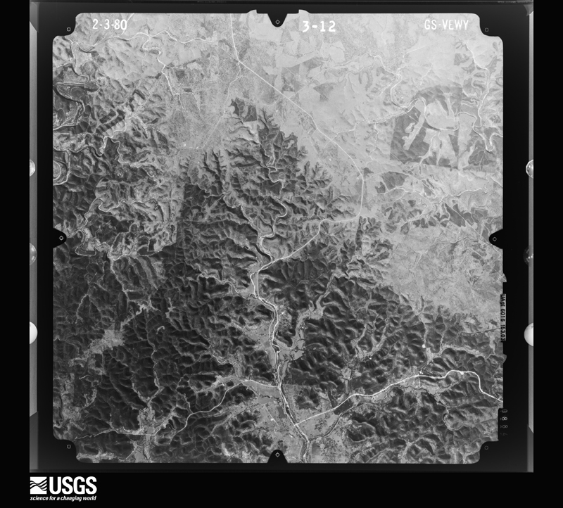
Flown by the U.S. Geological Survey between 1937 and 1989, the Aerial Photo Single Frames collection is the definitive mid-century view of the land: fields, roads and rivers as the camera saw them. The Survey holds 662 frames inside the rectangle that bounds this county; the 28 frames below were taken over the county itself, chosen across the decades of flights (at most four a year from that rectangle), so one flight cannot crowd out the rest. The full set is free to browse and download at EarthExplorer under the dataset Aerial Photo Single Frames.




The thermometers that kept this county's weather, and the gages that measured the flow of its streams, as the federal records hold them. The extremes below are measured values from those records, not estimates.
Who lived here in 1950, one enumeration district at a time, as the Census Bureau described each district. Each row opens its official National Archives result, with Population Schedules and ED Maps available there.
Every wildfire the federal occurrence database records inside this county: 109 of them, burning about 3,602 acres. 4 started naturally and 2 were recorded as arson. Each settlement page carries the fires within five miles of it.
| Reported cause | Fires |
|---|---|
| Debris and open burning | 62 |
| Missing data/not specified/undetermined | 20 |
| Equipment and vehicle use | 15 |
| Natural | 4 |
| Recreation and ceremony | 2 |
| Smoking | 2 |
| Arson/incendiarism | 2 |
| Power generation/transmission/distribution | 1 |
| Misuse of fire by a minor | 1 |
The five largest, by the area the report gives. None of them was recorded as arson.
| Date | Cause | Size | Reported by | Name on the report |
|---|---|---|---|---|
| 9 February 2017 | Debris and open burning | 940 acres | Texas A & M Forest Service | LEMOND |
| 9 March 2009 | Missing data/not specified/undetermined | 657 acres | Texas A & M Forest Service | COAL CREEK |
| 6 March 2007 | Equipment and vehicle use | 600 acres | Texas A & M Forest Service | MOFFETT |
| 2 April 2009 | Equipment and vehicle use | 150 acres | Texas A & M Forest Service | DEER MOUNTAIN FIRE |
| 15 October 2009 | Debris and open burning | 150 acres | Texas A & M Forest Service | HILLSIDE IN MEDINA |
| 15 November 2006 | Debris and open burning | 143 acres | Texas A & M Forest Service | SISTRUNK 2 |
| 21 February 2010 | Debris and open burning | 100 acres | Texas A & M Forest Service | KROLY ROAD FIRE |
| 28 February 2020 | Debris and open burning | 75 acres | Texas A & M Forest Service | ROCKING RR RANCH FIRE |
Every settlement page carries the fires within five miles of it - see the settlement index below.
The NOAA Storm Events Database holds 312 reports for this county, causing 6 deaths, 28 injuries and about $7,572,590 in recorded property damage. Each settlement page carries the reports that name it.
| Kind of event | Reports |
|---|---|
| Hail | 140 |
| Flash Flood | 120 |
| Thunderstorm Wind | 41 |
| Tornado | 7 |
| Flood | 2 |
| Funnel Cloud | 1 |
| Lightning | 1 |
The most serious of them, by death, then injury, then recorded damage. The accounts are quoted exactly as the forecast office filed them.
| When | Event | Place named | Harm | What the report says |
|---|---|---|---|---|
| June 1997 | Flash Flood | Countywide | 2 killed, 20 hurt, $5,000,000 | no account filed |
| April 1997 | Flash Flood | Countywide | 2 killed | no account filed |
| July 2007 | Lightning | Vanderpool | 1 killed, 2 hurt | A father and two sons took shelter under a medium-sized cedar tree at Lost Maples State Natural Area in western Bandera County as a storm approached. Lightning hit the tree, injuring all three, with the father the most serious. One son was still able to go for help. A park ranger and a trained medical responder who was visiting the park came quickly but could not revive the father. Both of his sons were taken to a hospital. |
| March 2004 | Flash Flood | West Portion | 1 killed, 1 hurt, $20,000 | Showers and thunderstorms built eastward along the cold front into Bandera County in the evening. General rains of near 1 inch fell over the west part of the county, with isolated totals of up to 3 inches. At times, rainfall rates approached 2 inches per hour. One man drowned near 1230 CST after being trapped in a vehicle between Vanderpool and Utopia where the Sabinal River crosses FM 187. The man's wife was rescued and taken to the hospital. |
| November 2001 | Flash Flood | Countywide | 5 hurt, $50,000 | Rainfall redeveloped over Bandera County in the early morning hours, with totals since the previous night approaching 5 inches in the western part of the county around 7 am. Flash flooding developed just before sunrise and continued into the early afternoon. Road closures were widespread, with most of the damage to bridges and roads. Emergency officials noted that in spite of the widespread flooding and road closures across the county, only a few rescues were required. Apparently that the public stayed out of vehicles and very safe. |
| August 2007 | Flash Flood | Pipecreek | $1,000,000 | From Bexar County the extremely heavy rainfall associated with the remains of Tropical Storm Erin spread in Bandera County. Between 3 and 5 inches of rain was reported in general, with up to 7 inches to the northwest of Medina near the Kerr County line. Roads across the north part of county were closed due to high water requiring several high water rescues. High water also closed bridges north of Medina on SH16 and northwest of Medina on FM2107. Residents were evacuated from over 50 homes in the Lakeshore area. Three cars were washed off bridges and numerous rescues were required. A bystander noted that one truck attempted to cross Privilege Creek and was warned away by everyone nearby, but the truck continued along and was quickly washed into the creek. The driver and his wife were able to leave the truck and were rescued. Their vehicle finally came to rest almost a half-mile down the creek. |
| April 1994 | Thunderstorm Wind | Bandera | $500,000 | Thunderstorms produced pea-sized hail and 60 mph wind gusts in Bandera. A building was reported to have been shoved by the winds, but no one was injured. |
| July 2007 | Flash Flood | Medina | $100,000 | Extremely heavy rainfall was reported from eastern Bandera County into northern Medina County. Most parts of eastern Bandera County reported 3 to 4 inches of rain, but the highest amount was in Bandera where up to 8 inches fell. Flash flooding was both widespread and severe, closing SH16, SH173, FM1283 and FM470. |
| July 2003 | Thunderstorm Wind | Medina Lake | $80,000 | As the line of thunderstorms moved through the eastern part of Bandera County, it produced a downburst that damaged roofs of homes and knocked over trees in the Lakehills area of Medina Lake. |
| April 2001 | Flash Flood | Vanderpool | $80,000 | Severe thunderstorm winds tore roofs off buildings, knocked over trees and damaged sheds in and around Vanderpool. |
| October 2004 | Flash Flood | Countywide | $50,000 | The Bandera County Emergency Manager reported that a car was washed off the road just north of Medina and a bridge was damaged as thunderstorms dropped between 2 and 3 inches countywide. The highest totals were 6 inches near Medina. |
| September 2002 | Flash Flood | Countywide | $50,000 | General 2 inch rainfall with isolated totals to 6 inches. Damage to roads and bridges. |
| September 2001 | Flash Flood | Countywide | $50,000 | no account filed |
| October 2002 | Flash Flood | Countywide | $30,000 | Heavy rain began in Bandera County near sunrise and continued into the mid-morning. Rain totals were generally near 1 inch, with widespread 2 inch amounts and isolated totals to 4 inches in the northwest corner of the County. Only minor damage was indicated to roads and bridges. |
| October 1998 | Flash Flood | East Portion | $30,000 | no account filed |
| September 2023 | Thunderstorm Wind | Bandera | $25,000 | A thunderstorm produced wind gusts estimated at 70 mph that blew down at least ten trees and some power poles on Hwy 16 between Bandera and Medina. |
| October 2021 | Thunderstorm Wind | Vanderpool | $25,000 | A thunderstorm produced wind gusts estimated at 65 mph. There were several large tree limbs down, broken windows, and the roof of a barn was completely lifted up and blown off at a residence north of Vanderpool. |
| October 2000 | Flash Flood | West Portion | $25,000 | no account filed |
| May 1977 | Tornado (F1) | not stated | $25,000 | no account filed |
| May 1959 | Tornado | not stated | $25,000 | no account filed |
| July 2009 | Thunderstorm Wind | Bandera | $20,000 | Strong winds from a thunderstorm caused tree and structure damage near the Lost Valley Golf Course. |
| June 2003 | Flash Flood | West Portion | $20,000 | Heavy rain began falling just after midnight in Bandera County, producing a general 1 to 2 inch rain over the western part of the County, with isolated totals of up to 5 inches. Flash flooding developed shortly before sunrise and continue through the early morning. |
| June 2002 | Flash Flood | Countywide | $20,000 | General 3 to 4 inch rainfall totals with isolated amounts of up to 7 inches. |
| November 2000 | Flash Flood | West Portion | $20,000 | no account filed |
| May 1997 | Flash Flood | Countywide | $20,000 | no account filed |
| November 2001 | Thunderstorm Wind | Bandera | $15,000 | Severe thunderstorm winds knocked over trees and damaged roofs in Bandera. |
| March 1999 | Thunderstorm Wind | Bandera | $15,000 | Trees were blown down by severe thunderstorm winds.. |
| May 2001 | Flash Flood | Countywide | $15,000 | no account filed |
| November 2000 | Flash Flood | West Portion | $15,000 | no account filed |
| June 1999 | Thunderstorm Wind | Bandera | $15,000 | no account filed |
| July 1999 | Flash Flood | Countywide | $15,000 | no account filed |
| January 1998 | Flash Flood | Southeast Portion | $15,000 | no account filed |
| August 2025 | Thunderstorm Wind | Bandera | $10,000 | A thunderstorm produced wind gusts estimated at 65 mph that knocked down trees and peeled back the metal roof of a motel in Bandera. |
| May 2024 | Thunderstorm Wind | Bandera | $10,000 | A thunderstorm produced wind gusts estimated at 70 mph that blew down some large Oak trees and damaged a barn northwest of Bandera. |
| May 2011 | Thunderstorm Wind | Vanderpool | $10,000 | A thunderstorm produced wind gusts estimated at 50 knots which blew a large tree onto a roof and knocked down a chimney. |
| June 2007 | Flash Flood | Medina | $10,000 | Thunderstorms produced 2 to 3 inch totals from Leakey in Real County eastward to Medina and Vanderpool in Bandera County. Highest totals in Bandera County were 5 inches at Vanderpool. FM187 and FM337 were closed to high water, with severe flooding along FM187. |
| January 2004 | Flash Flood | East Portion | $10,000 | Bandera County reported a general rainfall of between 1 and 2 inches over the county, with isolated totals with isolated amounts to 3 inches between Pipe Creek and Bandera. Numerous roads were closed in and around Pipe Creek. |
| September 2003 | Flash Flood | South Portion | $10,000 | After several days of widespread general showers, soils were generally saturated across South Central Texas. On September 5, additional rainfall developed from the southern part of Bandera County across the Bexar and Atascosa Counties and into the western part of Wilson County. Repeated showers and thunderstorms produced general rainfall of 1 to 2 inches over the southern part of the county, with isolated totals of up to 4 inches in the southwest part. Damage was limited to roads and bridges. |
| February 2003 | Flash Flood | Countywide | $10,000 | General 1 to 2 inch rainfall with isolated totals to 3 inches fell shortly after midnight in the county. Flash flooding developed very quickly, as area soils were already saturated from previous rainfall. |
| October 2000 | Flash Flood | South Portion | $10,000 | General rainfall of 2 inches was reported across Bandera County, with widespread totals of up to 5 inches and the maximum amount of just over 7 inches at Tarpley. Widespread flash flooding was reported over roads and low water crossings across the southern half of the county from early morning until the mid morning. |
| November 2000 | Flash Flood | West Portion | $10,000 | no account filed |
| November 2000 | Flash Flood | West Portion | $10,000 | no account filed |
| July 1999 | Flash Flood | East Portion | $10,000 | no account filed |
| October 1998 | Flash Flood | Countywide | $10,000 | no account filed |
| August 1998 | Flash Flood | Countywide | $10,000 | no account filed |
| March 1998 | Flash Flood | Countywide | $10,000 | no account filed |
| June 1997 | Flash Flood | Countywide | $10,000 | no account filed |
| September 2001 | Flash Flood | Countywide | $5,000 | no account filed |
| June 1999 | Flash Flood | Countywide | $5,000 | no account filed |
| April 1997 | Flash Flood | Countywide | $5,000 | no account filed |
| June 1997 | Flash Flood | Countywide | $5,000 | no account filed |
| April 1997 | Thunderstorm Wind | Pipecreek | $5,000 | no account filed |
| May 1996 | Hail | Bandera | $5,000 | no account filed |
| May 1996 | Thunderstorm Wind | Bandera | $5,000 | no account filed |
| October 1996 | Flash Flood | Western | $5,000 | no account filed |
| January 1995 | Hail | Vanderpool | $3,000 | Hail up to 0.75 in diameter was reported by a cooperative observer as covering the ground near Lost Maples State Park. |
| October 1996 | Flash Flood | Western Part | $3,000 | no account filed |
| May 1974 | Tornado (F1) | not stated | $2,500 | no account filed |
| February 2024 | Thunderstorm Wind | Bandera | $2,000 | A thunderstorm produced wind gusts estimated at 70 mph that knocked down a tree which blocked a street in Bandera. |
| April 2022 | Thunderstorm Wind | Medina | $2,000 | A thunderstorm produced wind gusts estimated at 65 mph that knocked down some tree limbs and small poles in Medina. |
One book written about this county, cut here where the book itself is cut, at its printed chapters: 1 chapter in all. Every chapter is public domain, machine-read from the scan and reproduced complete. A chapter already given under one of the county's towns is not repeated in this list.
| Chapter | Length |
|---|---|
| The whole text | 74,581 words in 5 parts |
Named settlements recorded in the Geographic Names Information System, each with the topographic sheets covering it. Villages, hamlets and abandoned places alike. Each is shown with the nearest named watercourse or landform and the survey quadrangle it falls on. The 1 place that was also surveyed for fire insurance comes first, with the number of atlases and photographs held for them.
Bandera census division · 78003 · On Mud Creek · Bandera quadrangle
9 sheets, 1954 to 1985
Fire insurance: 1 atlas
Bandera census division · 78063 · On Red Bluff Creek · Pipe Creek quadrangle
11 sheets, 1954 to 1992
Bandera census division · 78003 · On Red Bluff Creek · Pipe Creek quadrangle
11 sheets, 1954 to 1992
Bandera census division · 78003 · Near Panther Hollow · Rock Cliff Reservoir quadrangle
9 sheets, 1954 to 1985
Bandera census division · 78063 · Near Goat Hill · Medina Lake quadrangle
10 sheets, 1954 to 1992
Bandera census division · 78063 · Near Goat Hill · Medina Lake quadrangle
10 sheets, 1954 to 1992
Bandera census division · 78063 · On Bear Springs Creek · Pipe Creek quadrangle
11 sheets, 1954 to 1992
Bandera census division · 78063 · On Bear Springs Creek · Pipe Creek quadrangle
11 sheets, 1954 to 1992
Medina census division · 78055 · On West Prong Medina River · Rock Cliff Reservoir quadrangle
9 sheets, 1954 to 1985
Bandera census division · 78063 · On Bear Springs Creek · Pipe Creek quadrangle
11 sheets, 1954 to 1992
Medina census division · 78883 · On Thomas Creek · Tarpley quadrangle
9 sheets, 1954 to 1985
Medina census division · 78885 · On Jernigan Creek · Vanderpool quadrangle
9 sheets, 1954 to 1985