 Block
BlockBaylor County, Texas
15 topographic sheets and 8 fire insurance atlases across 1 place.
Research this county
What the record shows
- 1 place in this county was surveyed for fire insurance: Seymour, between 1892 and 1948.
- 8 fire insurance atlases survive for the county. Topographic coverage is national; fire insurance survey reached only incorporated places with something worth insuring.
- 65 topographic sheet readings cover the county's settlements.
- The Geographic Names Information System records 9 populated places in this county; 9 are covered by at least one topographic sheet.
The county from the air
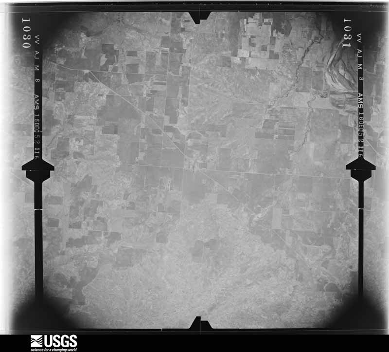
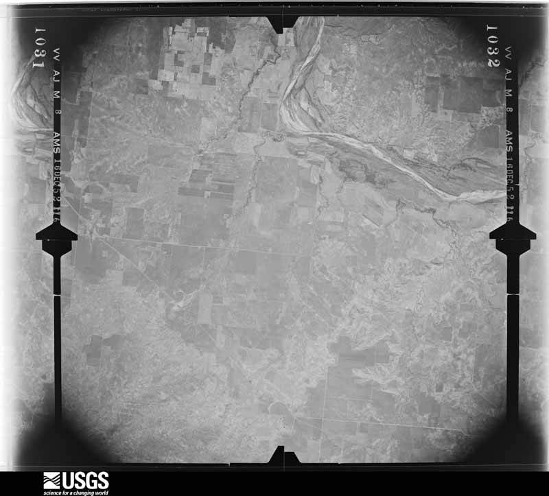
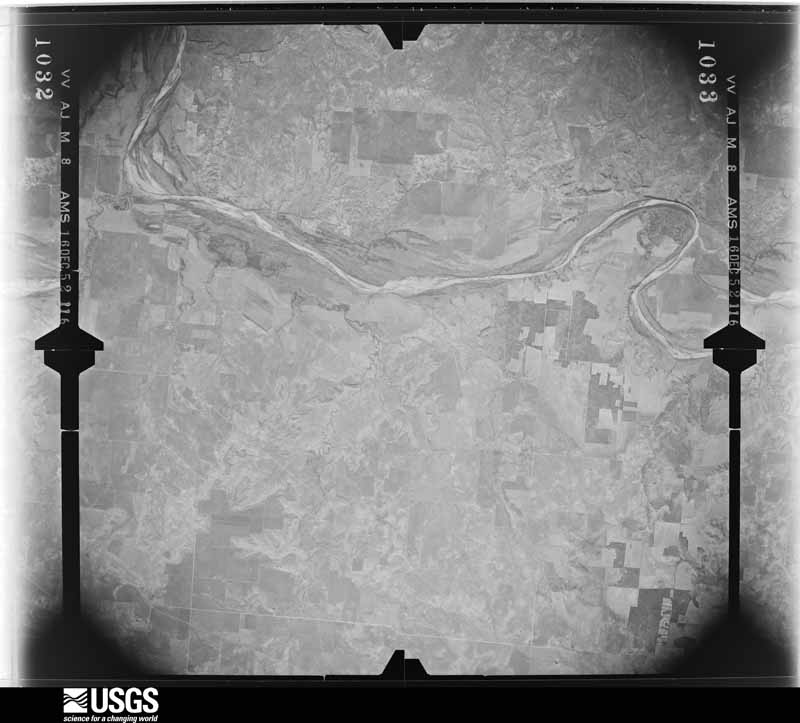
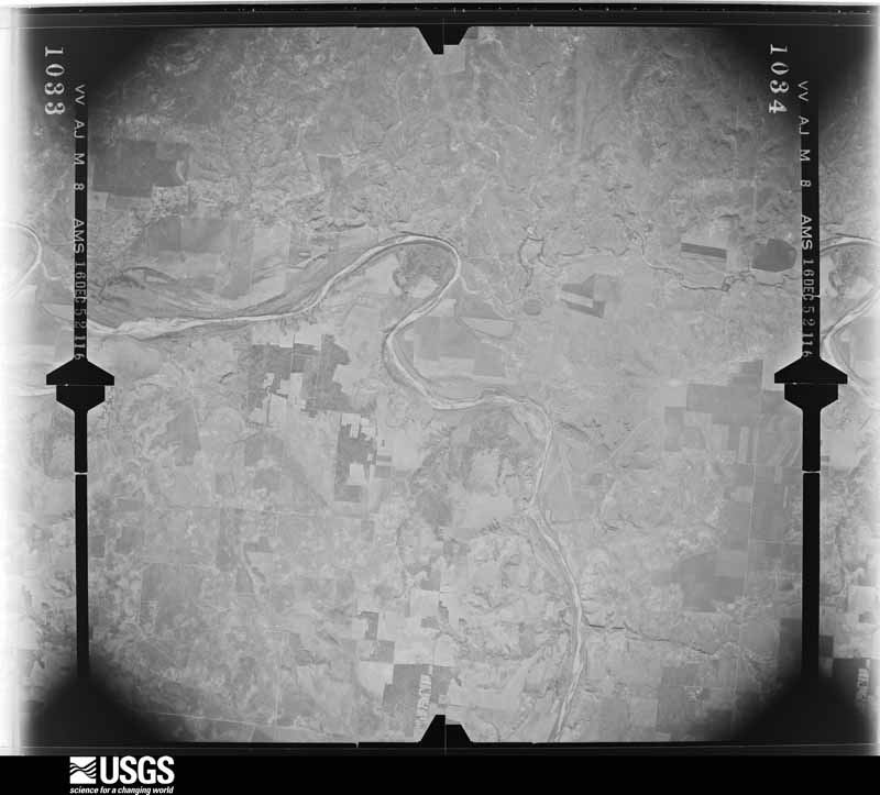
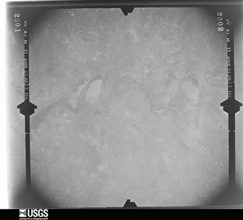
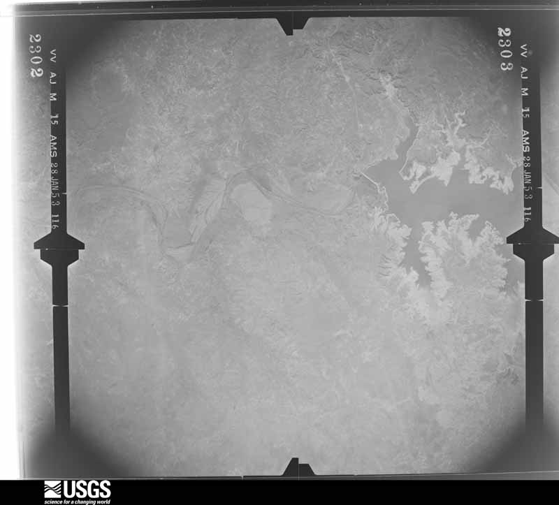
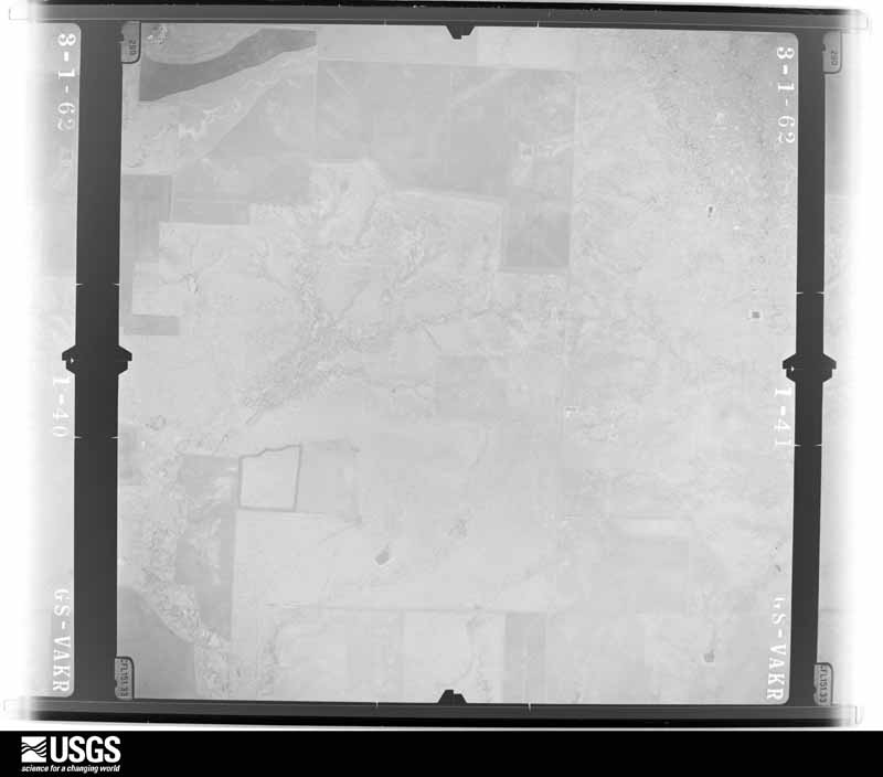
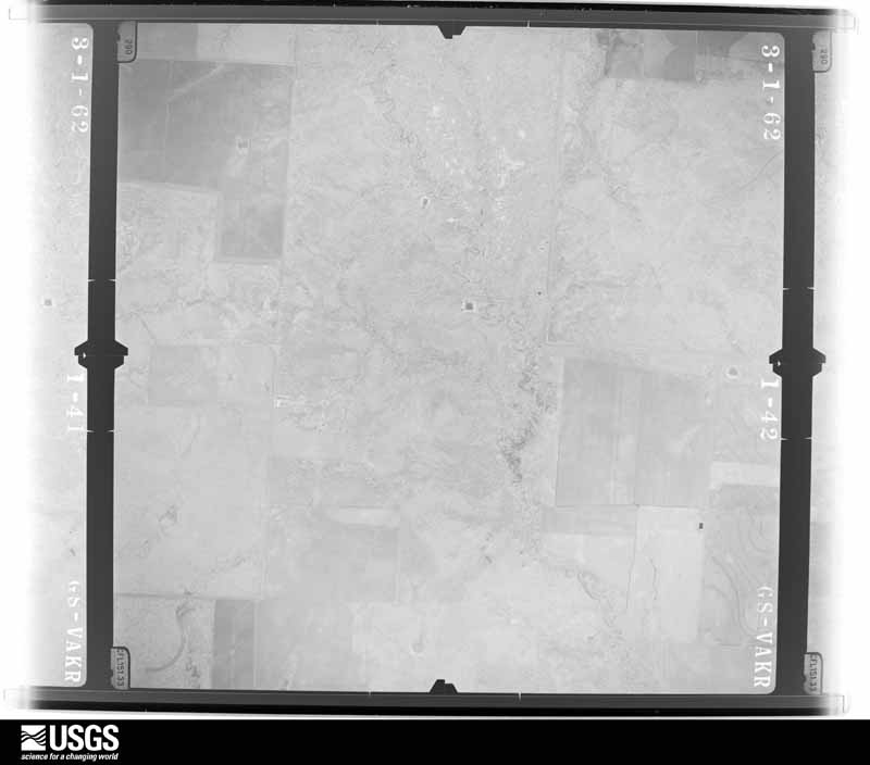
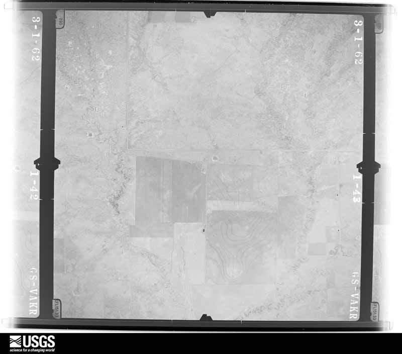
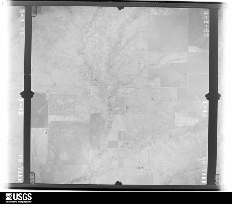
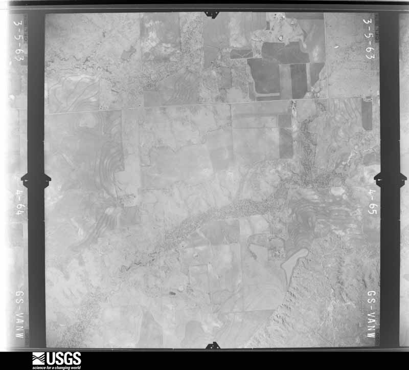
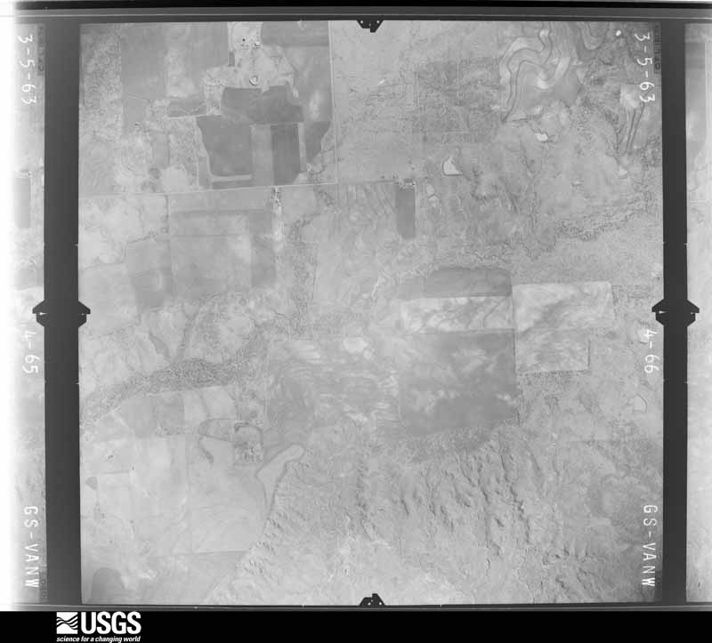
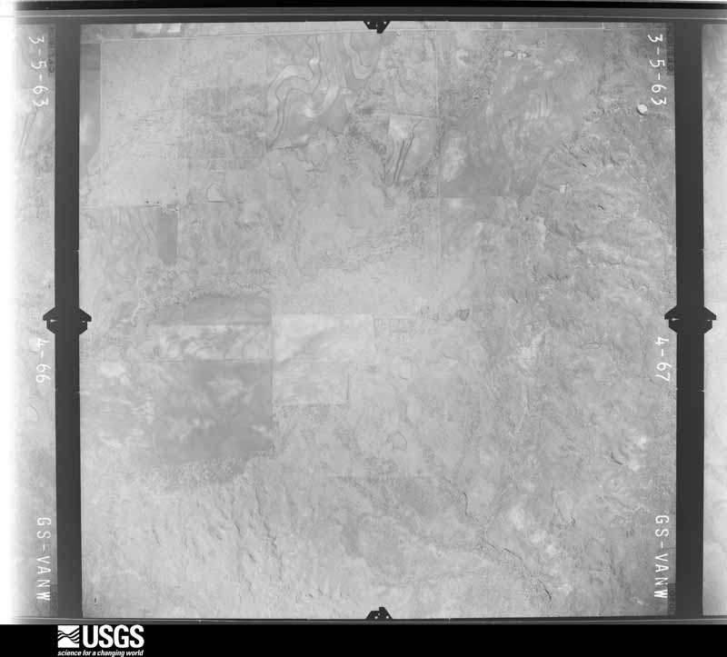
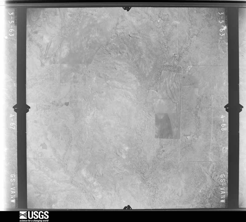
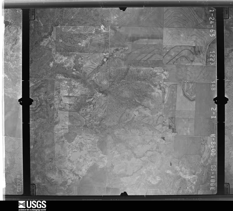
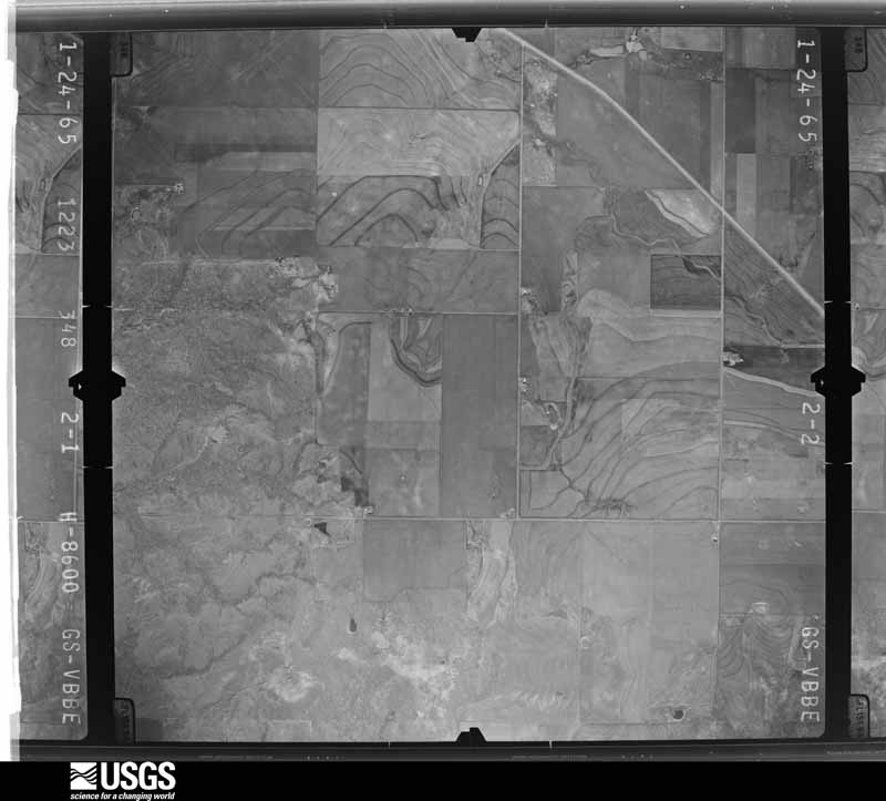
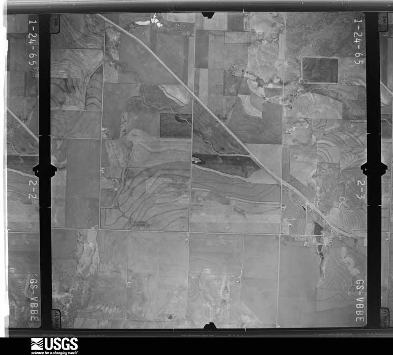
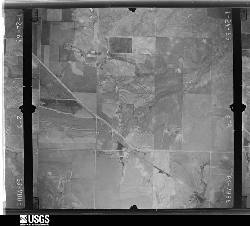
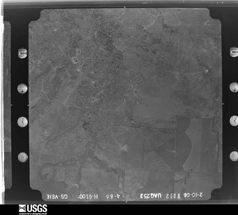
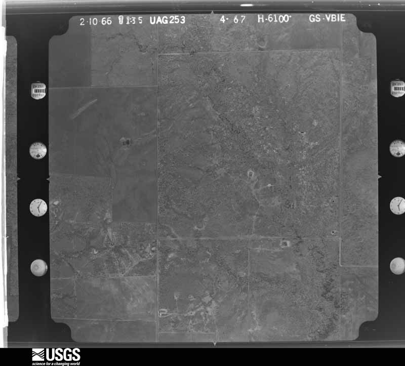
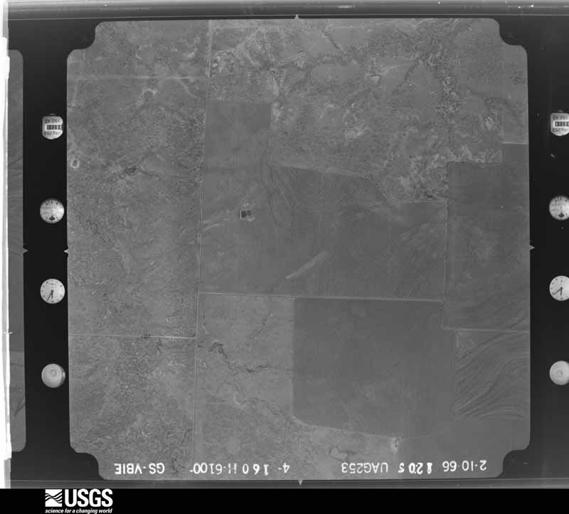
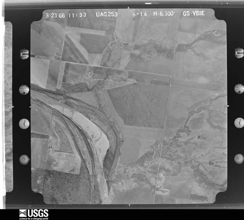
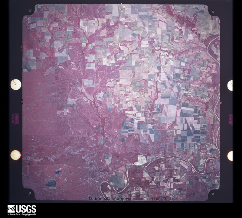
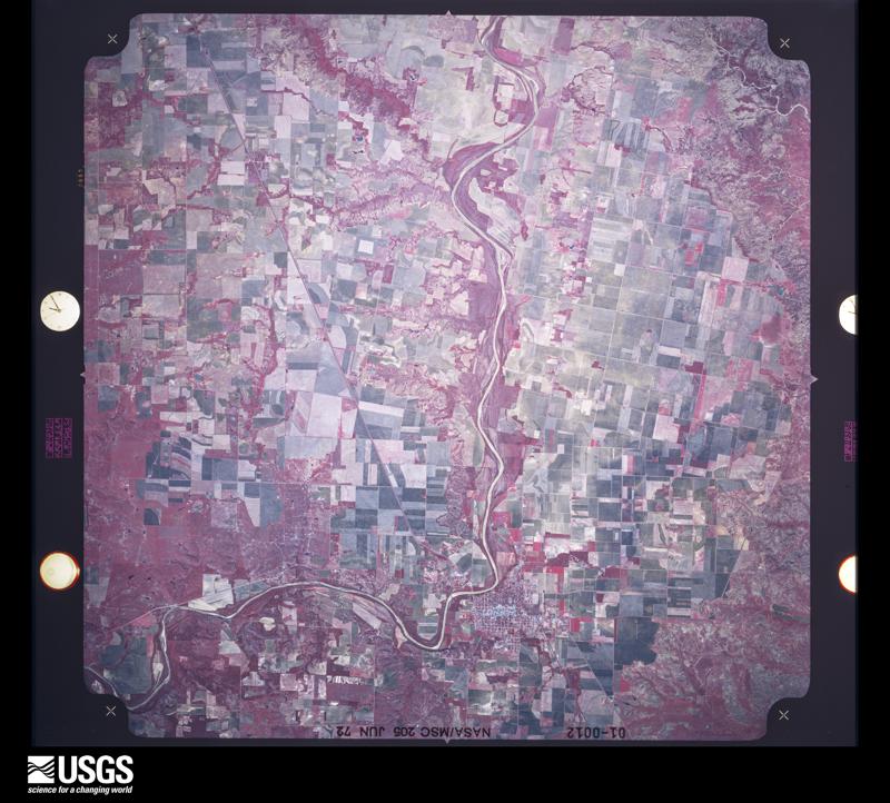
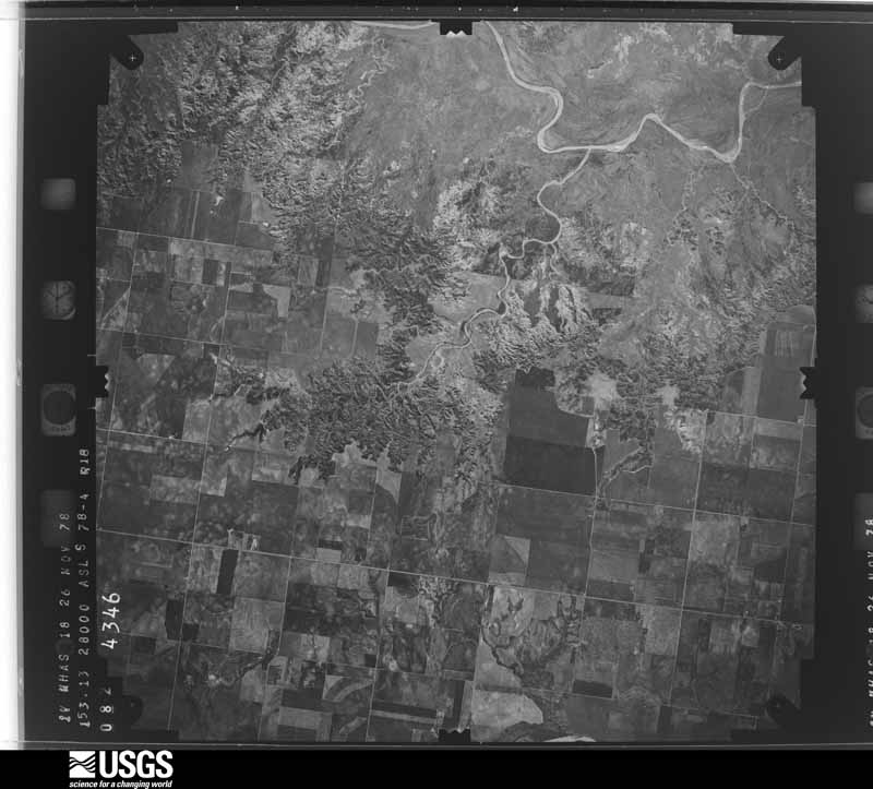
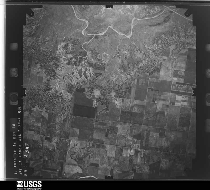
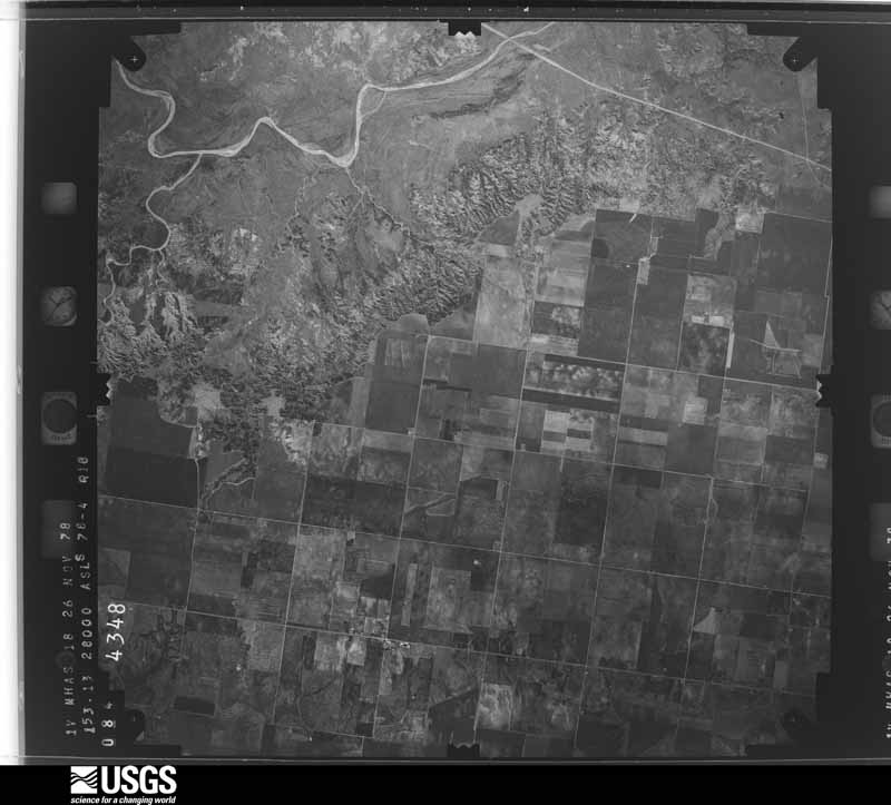
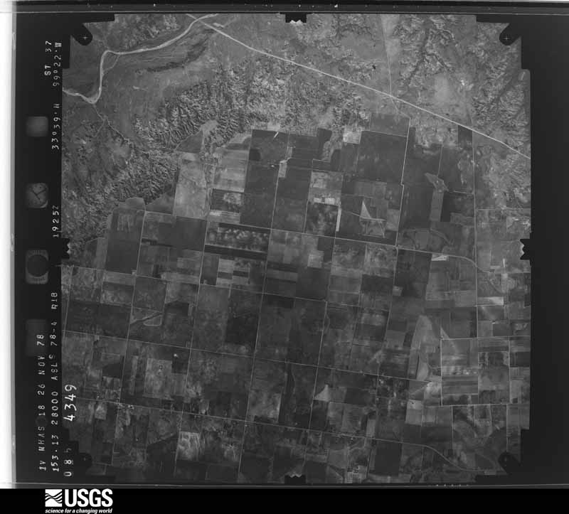
36 shownFlown by the U.S. Geological Survey between 1937 and 1989, the Aerial Photo Single Frames collection is the definitive mid-century view of the land: fields, roads and rivers as the camera saw them. The Survey holds 1,165 frames inside the rectangle that bounds this county; the 36 frames below were taken over the county itself, chosen across the decades of flights (at most four a year from that rectangle), so one flight cannot crowd out the rest. The full set is free to browse and download at EarthExplorer under the dataset Aerial Photo Single Frames.








Weather records
5 stations, 3 gagesThe thermometers that kept this county's weather, and the gages that measured the flow of its streams, as the federal records hold them. The extremes below are measured values from those records, not estimates.
- SEYMOUR 3NW 1905 to 2026, hottest 48.9 C, coldest -25.6 C
- RENDHAM 1943 to 1958
- RED SPRINGS 3 N 1948 to 1951
- LAKE KEMP 1962 to 2026, hottest 46.1 C, coldest -21.1 C
- MILLER CREEK TEXAS 2003 to 2026, hottest 43.9 C, coldest -20.6 C
- Brazos Rv at Seymour, TX 1923 to 2026
- Wichita Rv nr Mabelle, TX 1959 to 2026
- Wichita Rv nr Seymour, TX 1959 to 2026
The 1950 census, district by district
10 districtsWho lived here in 1950, one enumeration district at a time, as the Census Bureau described each district. Each row opens its official National Archives result, with Population Schedules and ED Maps available there.
- 12-1Justice Precinct 1: Seymour city: Seymour city - That part Bounded by City limits; City limits; Archer Rd., Custer; City limits
- 12-2Seymour city - That part Bounded by Custer; East; Morris; City limits
- 12-3Seymour city - That part Bounded by Custer, Archer Rd.; City limits; Morris extended, Morris; East
- 12-4Seymour city - That part Bounded by Morris, Morris extended; City limits; City limits; East
- 12-5Seymour city - That part Bounded by Morris; East; City limits; City limits
- 12-6Justice Precinct 1 - That part outside Seymour city
- 12-7Justice Precinct 2
- 12-8Justice Precinct 3
- 12-9Justice Precinct 4
- 12-10Justice Precinct 5
Wildfire, 2005 to 2020
196 firesEvery wildfire the federal occurrence database records inside this county: 196 of them, burning about 16,247 acres. 40 started naturally and 1 was recorded as arson. Each settlement page carries the fires within five miles of it.
| Reported cause | Fires |
|---|---|
| Missing data/not specified/undetermined | 79 |
| Natural | 40 |
| Debris and open burning | 27 |
| Equipment and vehicle use | 22 |
| Power generation/transmission/distribution | 20 |
| Smoking | 3 |
| Recreation and ceremony | 2 |
| Arson/incendiarism | 1 |
| Misuse of fire by a minor | 1 |
| Other causes | 1 |
The five largest, by the area the report gives. One of them was set deliberately.
| Date | Cause | Size | Reported by | Name on the report |
|---|---|---|---|---|
| 16 July 2018 | Natural | 5,880 acres | Texas A & M Forest Service | WAGGONER RANCH |
| 27 November 2005 | Missing data/not specified/undetermined | 5,120 acres | Texas A & M Forest Service | ROLLING PLAINS - 25 |
| 8 August 2017 | Natural | 600 acres | Texas A & M Forest Service | LA ESCALARA |
| 15 July 2018 | Natural | 600 acres | Texas A & M Forest Service | NORTH OF FLIPPEN CREEK |
| 27 June 2018 | Missing data/not specified/undetermined | 500 acres | Texas A & M Forest Service | PINEY ISLAND#1 |
| 5 February 2014 | Arson/incendiarism | 400 acres | Texas A & M Forest Service | DEAN MYERS FARM |
| 30 December 2011 | Equipment and vehicle use | 250 acres | Texas A & M Forest Service | STOUT RANCH |
| 15 April 2011 | Missing data/not specified/undetermined | 250 acres | Texas A & M Forest Service | MILLER/HARMEL |
Every settlement page carries the fires within five miles of it - see the settlement index below.
Storms, 1955 to 2026
60 of 361 shownThe NOAA Storm Events Database holds 361 reports for this county, causing no deaths, 2 injuries and about $4,170,300 in recorded property damage. Each settlement page carries the reports that name it.
| Kind of event | Reports |
|---|---|
| Hail | 208 |
| Thunderstorm Wind | 106 |
| Tornado | 29 |
| Flash Flood | 16 |
| Funnel Cloud | 1 |
| Flood | 1 |
The most serious of them, by death, then injury, then recorded damage. The accounts are quoted exactly as the forecast office filed them.
| When | Event | Place named | Harm | What the report says |
|---|---|---|---|---|
| July 1971 | Tornado (F2) | not stated | 1 hurt, $25,000 | no account filed |
| May 1989 | Thunderstorm Wind | not stated | 1 hurt | no account filed |
| April 2007 | Hail | Seymour | $3,000,000 | Numerous roofs were damaged due to the large hail. Hundreds of cars sustained major damage, including large dents and windows shattered. The skylights at the courthouse and hospital were shattered. Numerous businesses and homes sustained window damage. Hundreds of trees were also significantly damaged due to the hail and winds. Thousands of residents were also without power for hours. |
| April 2025 | Tornado (EF3) | Seymour Muni Arpt | $400,000 | This tornado developed just north of FM-1919 about 2.5 miles northwest of the Seymour airport and initially moved south destroying farm buildings and equipment. As the tornado approached FM-2069, it veered sharply and began moving east along and north of FM-2069 damaging the roof of a home and heavily damaging some outbuildings. The tornado continued moving east through the Seymour Municipal Airport destroying hangars, planes and vehicles at the airport. The tornado likely continued east and northeast from the airport, but this area was inaccessible to the ground survey team. |
| April 2025 | Tornado (EF2) | Red Springs | $200,000 | This tornado moved into Baylor County from Knox County along and north of US Highway 82. The tornado moved east-northeast to northwest of Red Springs, and then turned east-southeast along County Road 140. In Baylor County, a metal building at a feed lot was heavily damaged and a wind turbine was damaged. Northwest and north of Red Springs, a barn was damaged, two outbuilding were destroyed and ranch implements were tossed. Tree damage occurred at numerous places along the path. The tornado dissipated about 2 miles east-northeast of Red Springs. |
| March 2004 | Thunderstorm Wind | Seymour | $200,000 | Windows were blown out and garage doors blown in. Power lines, telephone poles and a few trees were also downed. The gym at the First Baptist Church collapsed. The local Sonic Drive-In sustained some damage with many of the speaker menu's uprooted and tossed across the parking lot. Seymour Hospital also lost some of the roof over the physical therapy area. |
| April 2024 | Tornado (EF1) | Red Springs | $100,000 | This tornado developed a couple of miles east or Red Springs in central Baylor County and moved northeast dissipating as a waterspout over Lake Kemp. Power poles were broken or pushed over along FM-1789 just south of FM-2069. Damage occurred to a silo and at least a couple of barns as well as a few trees along the path. |
| April 2025 | Thunderstorm Wind | Seymour | $50,000 | Relayed images showing thunderstorm wind damage in the community of Seymour, including large tree limbs snapped, power lines damaged and roof damage to a barn. Event time is estimated from radar observations. |
| October 1993 | Hail | Seymour | $50,000 | no account filed |
| April 1979 | Tornado (F2) | not stated | $25,000 | no account filed |
| March 1958 | Tornado (F1) | not stated | $25,000 | no account filed |
| August 1957 | Tornado (F2) | not stated | $25,000 | no account filed |
| May 1998 | Thunderstorm Wind | Seymour | $20,000 | no account filed |
| March 2004 | Thunderstorm Wind | Bomarton | $10,000 | Mobile home was blown off its anchoring onto highway. |
| January 2021 | Thunderstorm Wind | Seymour | $5,000 | Report of semi blown over, carport damaged, barn destroyed, and power polls snapped on 205 on the north side of Seymour. Time estimated by radar. |
| August 2020 | Thunderstorm Wind | Seymour | $5,000 | Roof blown off structure on main street in Seymour. Several tree limbs downed. |
| May 2019 | Thunderstorm Wind | Seymour | $5,000 | Various damage around Seymour. Roof of press box blown off and landed onto high school football field, fence damage around the stadium, one tree uprooted in town, awning blown off mechanic's shop in town. |
| December 1993 | Thunderstorm Wind | Seymour | $5,000 | Severe thunderstorms in the western part of north Texas during the late afternoon and early evening hours on the 12th produced strong winds. Strong thunderstorm winds damaged signs and the roof of a hotel in Seymour. |
| October 1993 | Hail | N Seymour | $5,000 | no account filed |
| June 2004 | Thunderstorm Wind | Seymour | $2,500 | Power lines were downed. |
| June 2004 | Thunderstorm Wind | Seymour | $2,500 | Several 6 to 8 inch diameter tree limbs were downed. |
| October 1957 | Tornado (F2) | not stated | $2,500 | no account filed |
| May 1957 | Tornado | not stated | $2,500 | no account filed |
| June 2002 | Thunderstorm Wind | Seymour | $2,000 | Power poles were downed. |
| May 1996 | Thunderstorm Wind | Bomarton | $1,000 | no account filed |
| April 2007 | Tornado (EF0) | Seymour | $500 | Storm chasers observed a large and potentially damaging tornado to the south and southeast of Seymour. Fortunately, the tornado occurred in rural areas and no structural damage was reported. The tornado formed near U.S. Highways 183/283 approximately 6 miles south-southwest of Seymour, and the width of the tornado quickly increased to about one-half mile as it moved to the east-northeast. The tornado became obscured by rain, but it believed to have dissipated before reaching state highway 114. |
| February 2001 | Thunderstorm Wind | Mabelle | $500 | Shingles were blown off a roof. |
| May 1999 | Hail | Red Spgs | $500 | no account filed |
| May 1999 | Hail | Red Spgs | $500 | no account filed |
| April 1964 | Tornado (F1) | not stated | $250 | no account filed |
| June 2002 | Thunderstorm Wind | Westover | $10 | Large tree limbs were downed. |
| June 1998 | Thunderstorm Wind | Mabelle | $10 | Severe thunderstorm winds downed 2-inch tree limbs. |
| June 1998 | Thunderstorm Wind | Mabelle | $10 | Severe thunderstorm winds downed 2-inch tree limbs. |
| May 1997 | Thunderstorm Wind | Red Spgs | $10 | Severe thunderstorm winds broke 3-inch limbs off of trees. |
| May 1999 | Thunderstorm Wind | Bomarton | $10 | no account filed |
| March 2026 | Hail | Red Springs | - | The location is approximate. |
| April 2026 | Thunderstorm Wind | Seymour Muni Arpt | - | Seymour (SEYM) Mesonet observation. |
| April 2025 | Thunderstorm Wind | Seymour Muni Arpt | - | Seymour (SEYM) Mesonet observation. |
| April 2025 | Thunderstorm Wind | Seymour Muni Arpt | - | Seymour (SEYM) Mesonet observation. Winds gusted to 58 mph or higher from 1754 PM LST to 1818 PM LST. There were frequent gusts over 90 mph between 1800 and 1809 PM LST. Southwest winds gusted to 100 mph at 1801 PM LST, and north winds gusted to 106 mph at 1808 PM LST. |
| April 2025 | Hail | Seymour | - | The report was relayed through mPING. |
| April 2025 | Hail | Mabelle | - | The report was relayed through mPING. |
| April 2025 | Hail | Seymour | - | The report was relayed through mPING. |
| July 2025 | Thunderstorm Wind | Seymour Muni Arpt | - | Seymour (SEYM) Mesonet observation. Severe (>50-knot) wind gusts occurred during the event time, with the peak gust of 56 knots occurring at 2224 LST. |
| July 2025 | Thunderstorm Wind | Seymour Muni Arpt | - | Seymour (SEYM) Mesonet observation. Severe (>50-knot) wind gusts occurred during the event time, with the peak gust of 63 knots occurring at 2230 LST. |
| July 2025 | Thunderstorm Wind | Seymour Muni Arpt | - | Seymour (SEYM) Mesonet observation. Severe (>50-knot) wind gusts occurred during the event time, with the peak gust of 62 knots occurring at 2236 LST. |
| September 2025 | Hail | Mabelle | - | The location is approximate. |
| April 2024 | Tornado (EFU) | Red Springs | - | While the large tornado was ongoing northwest of Seymour, security camera footage from a house on County Road 127 recorded another small tornado occurring about 2.5 miles northwest of the main tornado. No damage is known to have occurred in this rural area. The path of this tornado is estimated based on radar and the viewing angle of the video footage. |
| April 2024 | Hail | Red Springs | - | MPing report. Time is radar estimated. |
| September 2024 | Thunderstorm Wind | Seymour Muni Arpt | - | Seymour (SEYM) Mesonet observation. |
| May 2024 | Hail | Seymour | - | Social media video. |
| June 2024 | Flash Flood | Red Springs | - | Roadway flooding along portions of U.S. Highway 82 west of the community of Seymour. Event time is approximate. |
| July 2024 | Thunderstorm Wind | Seymour Muni Arpt | - | Seymour (SEYM) Mesonet observation. |
| May 2024 | Thunderstorm Wind | Bomarton | - | Social media image showing minor tree damage. Time is radar estimated. |
| June 2023 | Thunderstorm Wind | Seymour Muni Arpt | - | Seymour (SEYM) Mesonet observation. |
| June 2023 | Thunderstorm Wind | Seymour Muni Arpt | - | Seymour (SEYM) Mesonet observation. |
| August 2023 | Hail | Seymour | - | Time is radar estimated. |
| May 2023 | Hail | Seymour Muni Arpt | - | Hailfall began 30 minutes prior (1635 CST) to report time. |
| May 2023 | Thunderstorm Wind | Seymour Muni Arpt | - | A storm chaser reported that powerlines were down near this location. |
| May 2023 | Hail | Mabelle | - | Relayed via social media. Hailfall likely occurred prior to report (1720-1730 CST). |
| October 2023 | Hail | Seymour | - | MPing report. |
Mines and quarries
2 recordedThe Survey's mineral resources record lists 2 workings inside this county. None of them still produces: all are closed or unrecorded. Each settlement page carries the workings within five miles of it.
| Commodity | Workings |
|---|---|
| Copper | 2 |
The least common of them first, because a county's hundredth gravel pit says nothing its first ten did not.
| Where | Site | Commodity | Status | Recorded |
|---|---|---|---|---|
| Coffee Creek-1 | Copper | Occurrence | 1891 | |
| Tabletop Mountain-1 | Copper | Past Producer | 1854, 1886 |
Every populated place in the county
9Named settlements recorded in the Geographic Names Information System, each with the topographic sheets covering it. Villages, hamlets and abandoned places alike. Each is shown with the nearest named watercourse or landform and the survey quadrangle it falls on. The 1 place that was also surveyed for fire insurance comes first, with the number of atlases and photographs held for them.
-
Seymour
Seymour census division · 76380 · On Plants Creek · Seymour West quadrangle
7 sheets, 1954 to 1985
Fire insurance: 8 atlases
-
Mabelle
Seymour Rural census division · 76380 · Southeast Lake Kemp quadrangle
7 sheets, 1954 to 1985
-
Round Timber
Seymour Rural census division · 76380 · On Wagon Creek · Westover quadrangle
8 sheets, 1954 to 1985
Recorded here
Seymour, Texas
7 topographic sheets and 8 fire insurance atlases, 1892 to 1948
Provenance
- Topographic sheets. USGS Historical Topographic Map Collection, county index, measured from the bulk metadata.
- Fire insurance maps. Library of Congress Sanborn collection, faceted to this county.
- Photographs. Each place queried individually against the Library of Congress Prints and Photographs search.
- Wildfire. Short, Karen C. 2022. Spatial wildfire occurrence data for the United States, 1992-2020 [FPA_FOD_20221014]. 6th Edition. Fort Collins, CO: Forest Service Research Data Archive. https://doi.org/10.2737/RDS-2013-0009.6 Collected with United States Government funding and usable without additional permissions or fees.
- Mines and quarries. USGS Mineral Resources Data System (MRDS) https://mrdata.usgs.gov/mrds/ A work of the United States government, no copyright under 17 U.S.C. 105.
- Storms. NOAA National Centers for Environmental Information, Storm Events Database https://www.ncei.noaa.gov/stormevents/ A work of the United States government, no copyright under 17 U.S.C. 105. Narratives are quoted verbatim from the National Weather Service report and are not edited or summarised.