 Block
BlockFrom the record
13 National Register listings published here.
Sources: the National Register database, National Park Service
49 topographic sheets and 7 fire insurance atlases across 1 place.
13 National Register listings published here.
Sources: the National Register database, National Park Service
Taken for the Office of War Information and the Farm Security Administration, who photographed the country between 1935 and 1944. Works of United States government photographers, with no known restriction on use. Each opens its catalogue record.
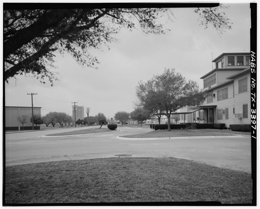
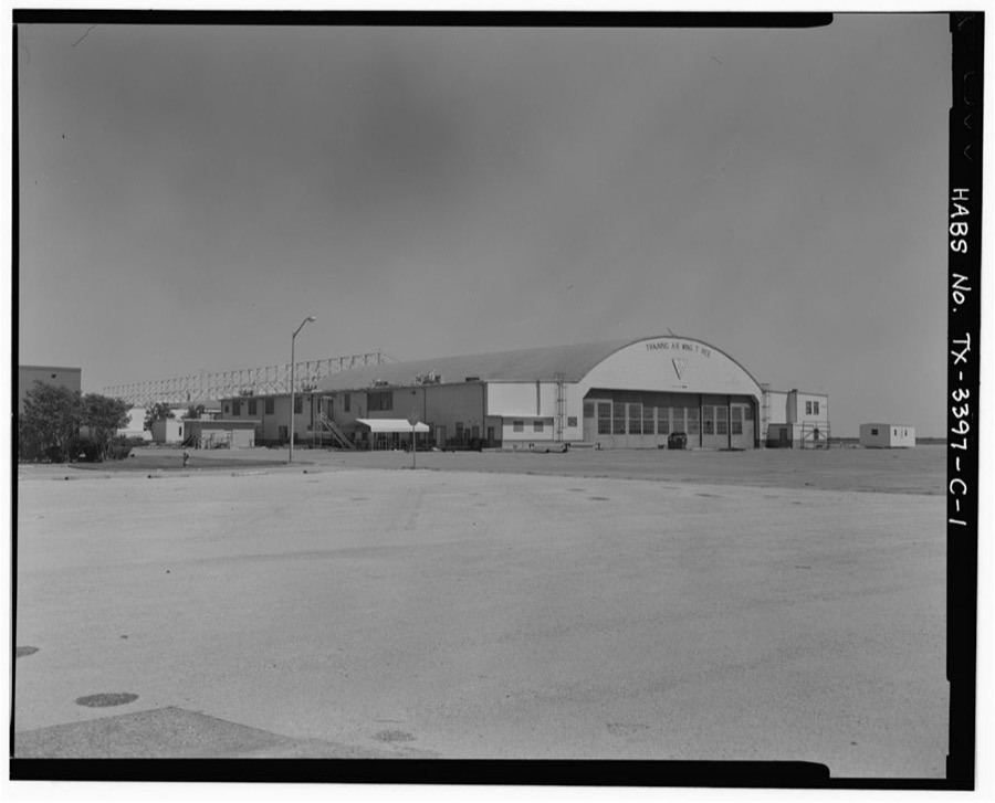
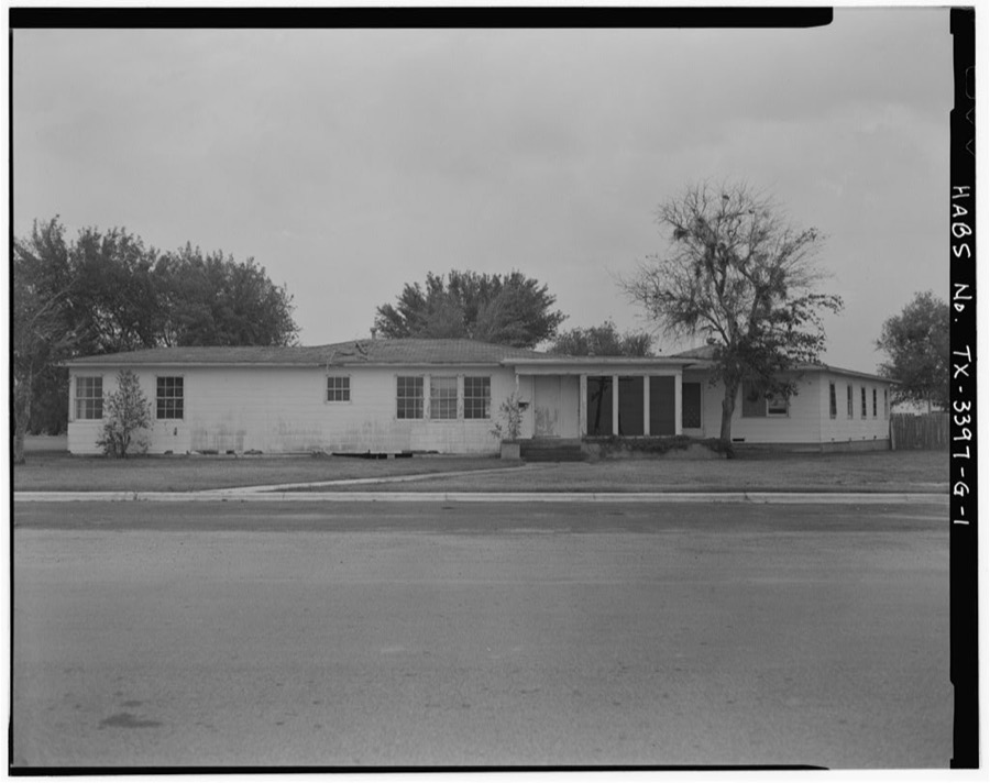
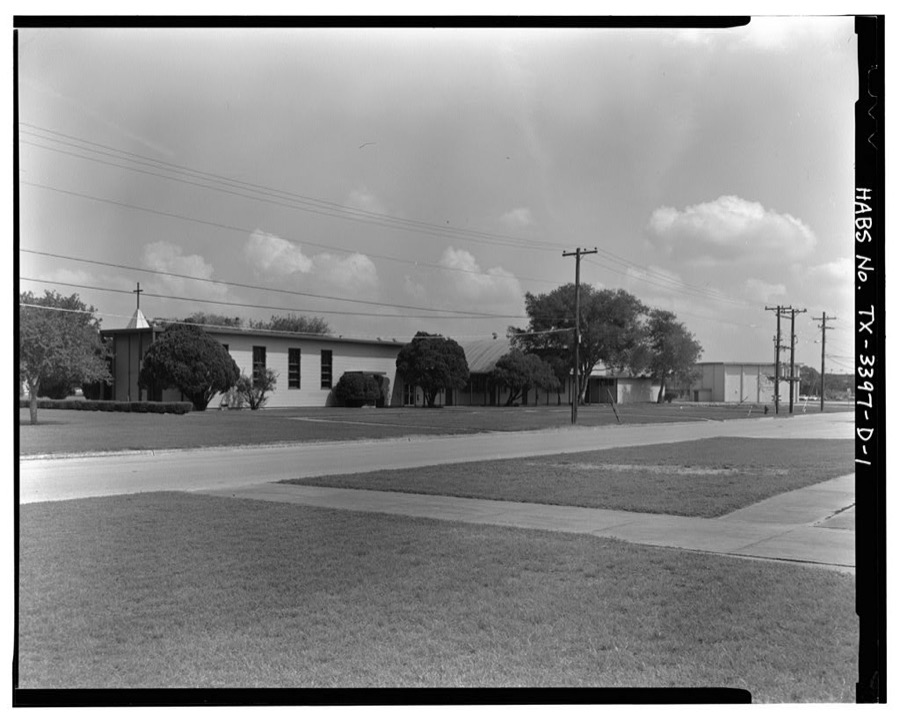
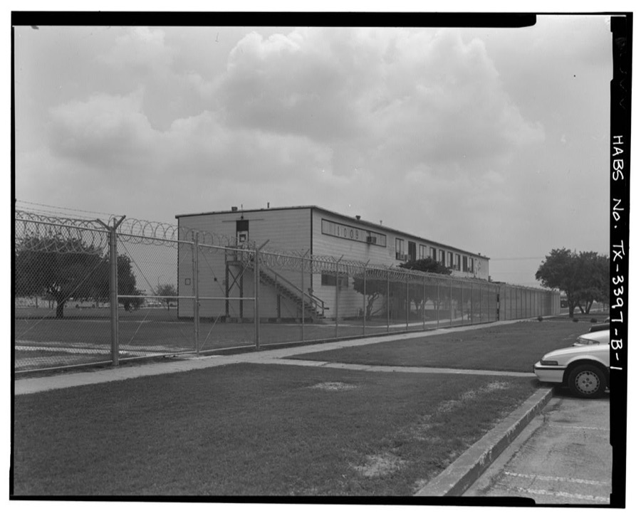
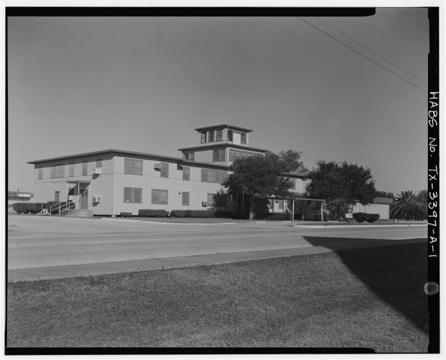
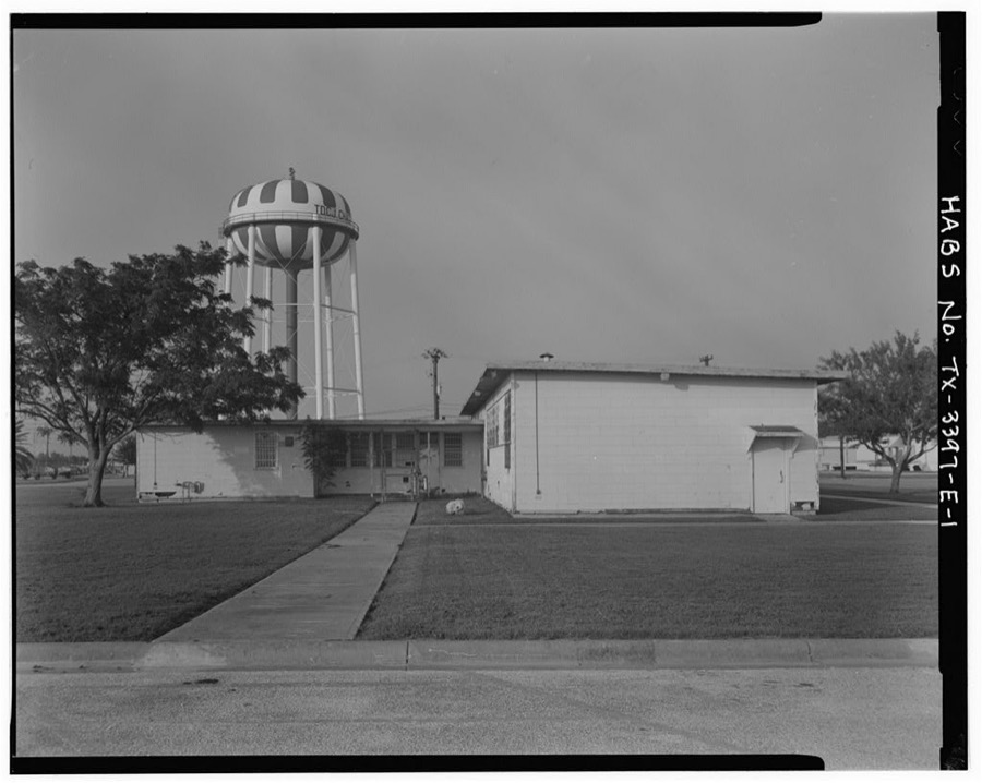
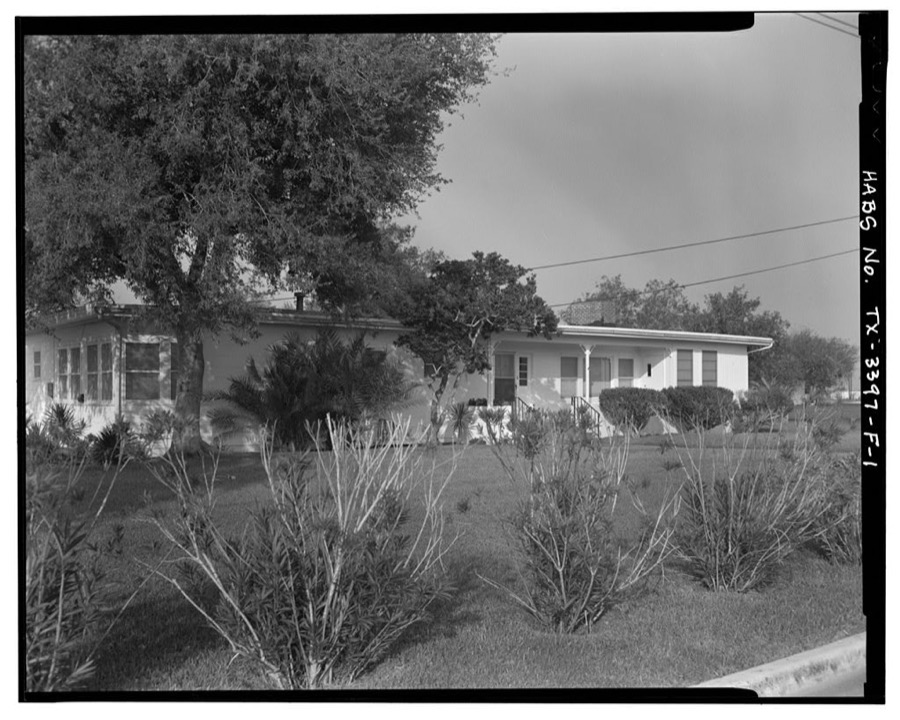
Every property in this county listed on the National Register of Historic Places, with the year it was listed and the federal nomination document.
| Photograph | Property | Type | Listed | Reference |
|---|---|---|---|---|
 | Bee County Courthouse | building | 2001 | 01000105 |
 | Beeville Post Office | building | 2007 | 07000272 |
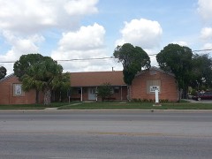 | Lott-Canada School | building | 2010 | 10000981 |
 | Medio Creek Bridge | structure | 1988 | 88002000 |
 | NAS Chase Field-Building 1001 | building | 1994 | 94000050 |
| NAS Chase Field-Building 1009 | building | 1994 | 94000051 | |
| NAS Chase Field-Building 1015 | building | 1994 | 94000052 | |
| NAS Chase Field-Building 1040 | building | 1994 | 94000053 | |
| NAS Chase Field-Building 1042 | building | 1994 | 94000054 | |
| NAS Chase Field-Quarters R | building | 1994 | 94000055 | |
| NAS Chase Field-Quarters S | building | 1994 | 94000056 | |
 | Praeger Building | building | 1982 | 82004490 |
 | Rialto Theater | building | 2001 | 01001265 |
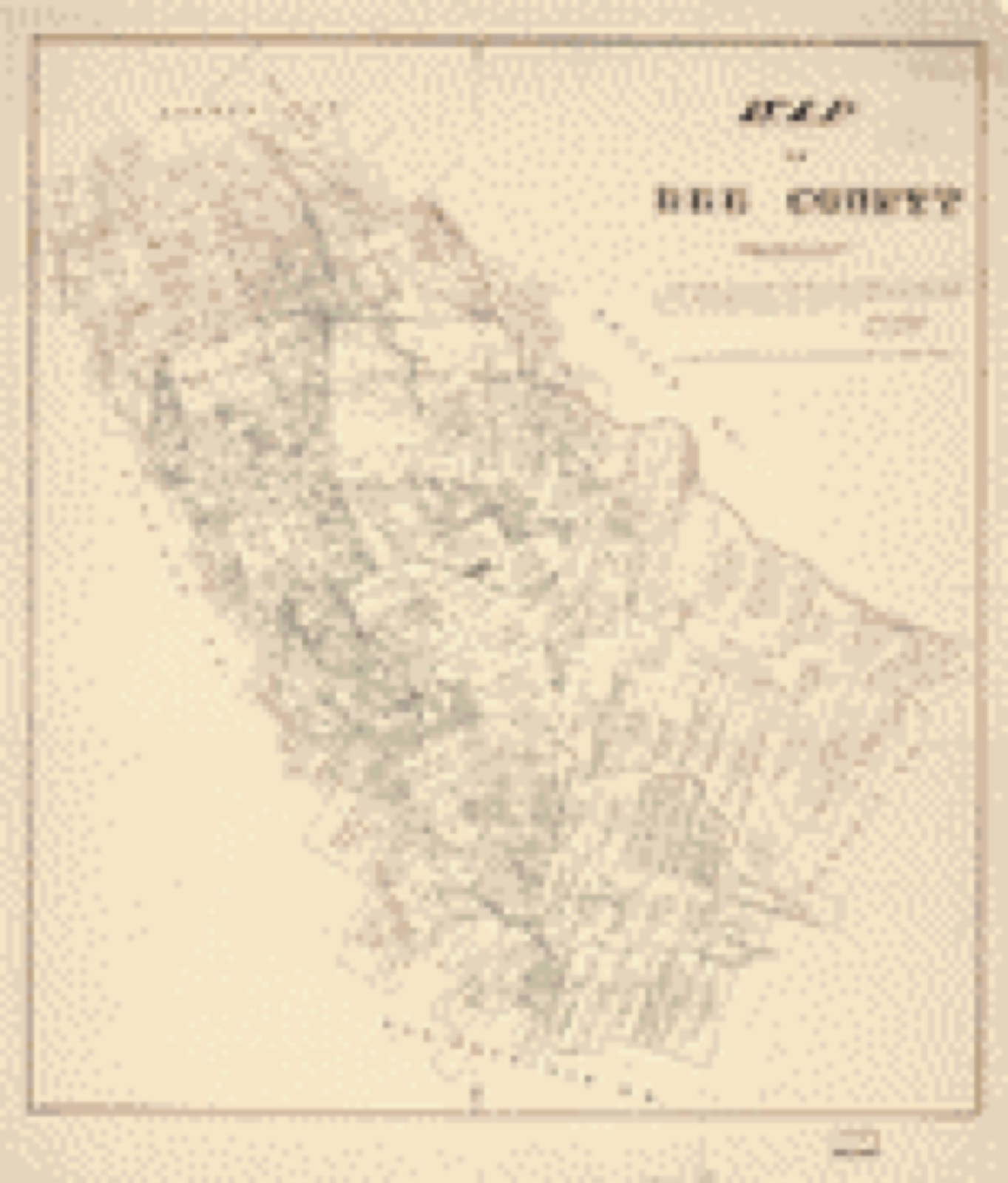
Drawn when these were printed as single large sheets: the town seen from the air, and the county divided into its farms with every owner named. Each opens the original at the Library of Congress.
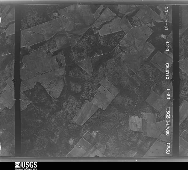
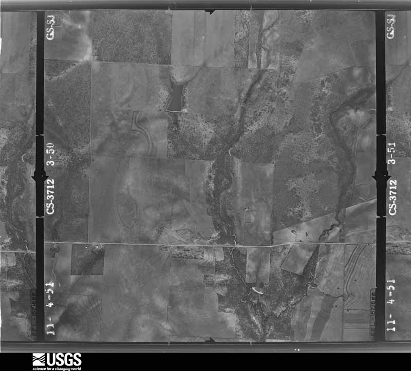
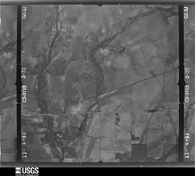
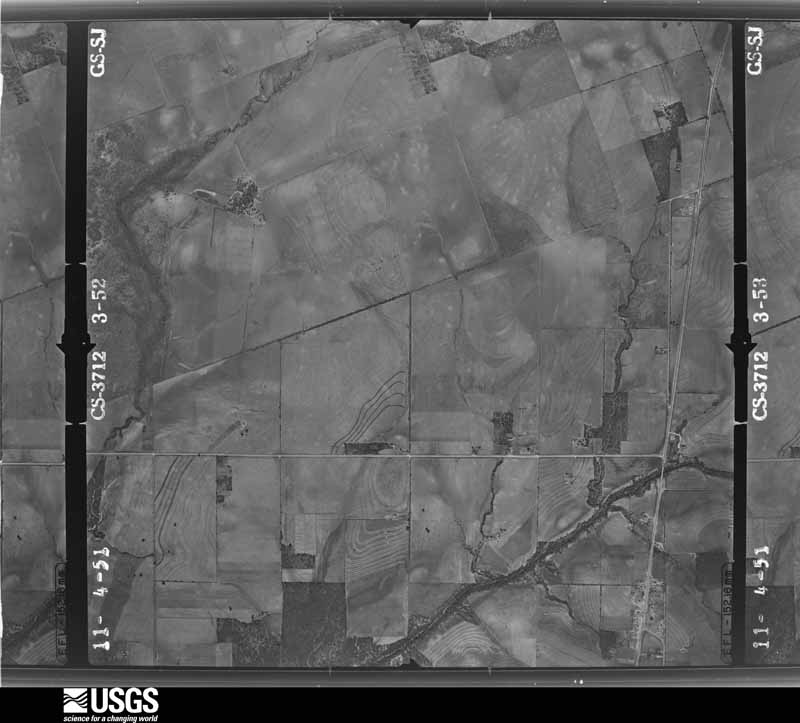
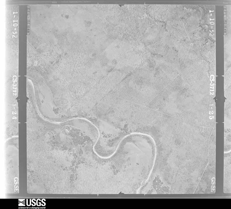
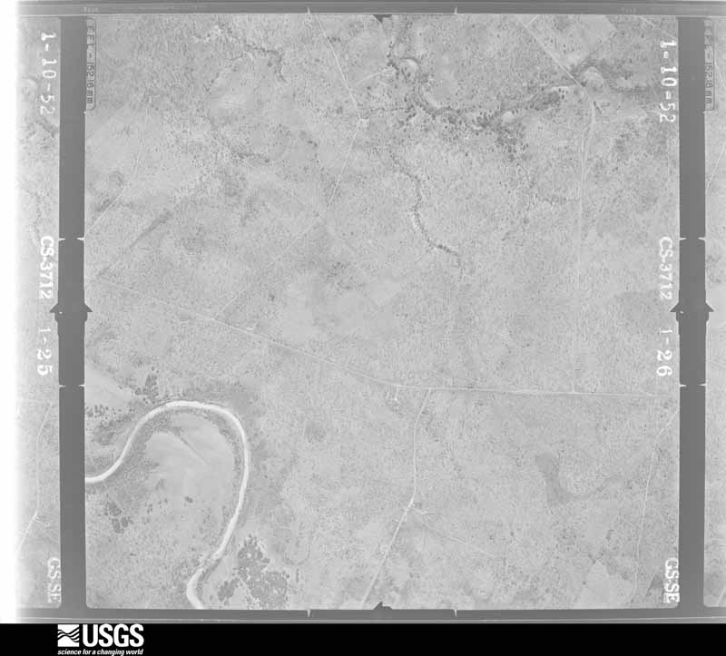
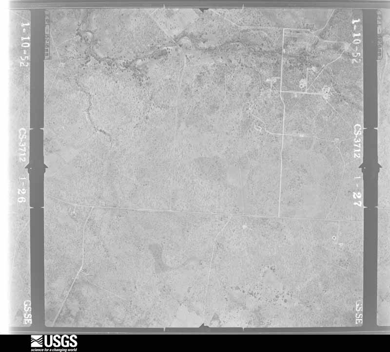
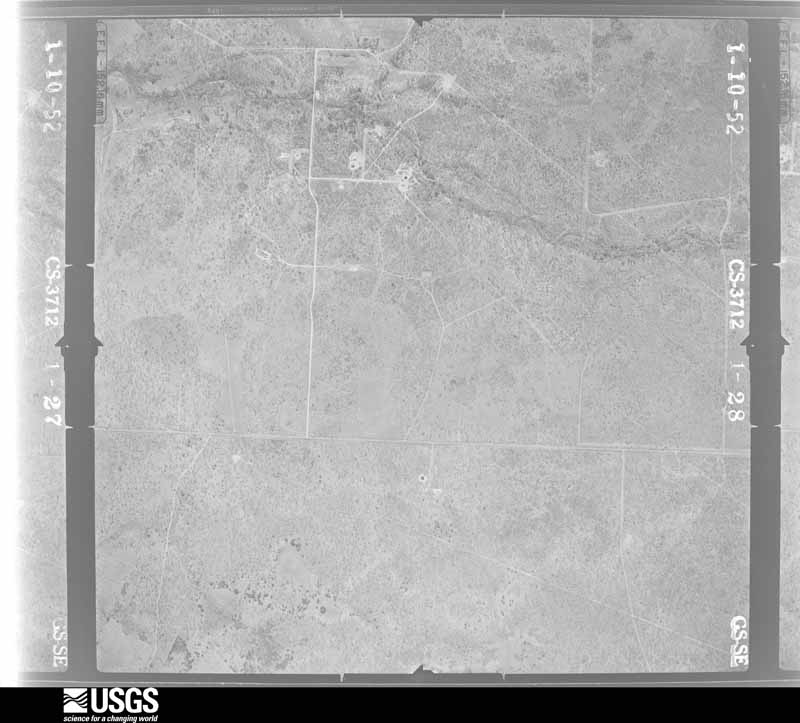
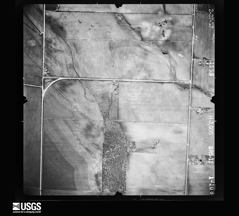
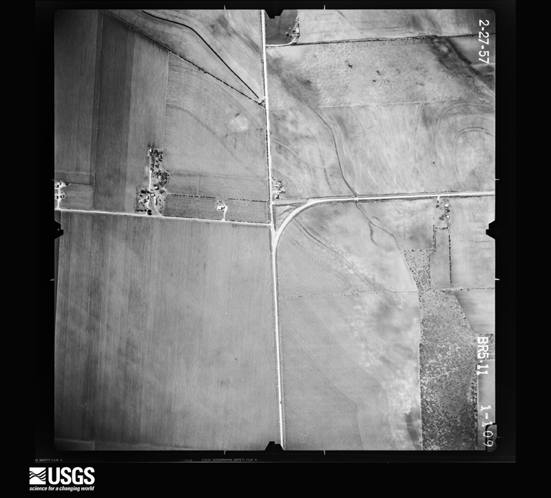
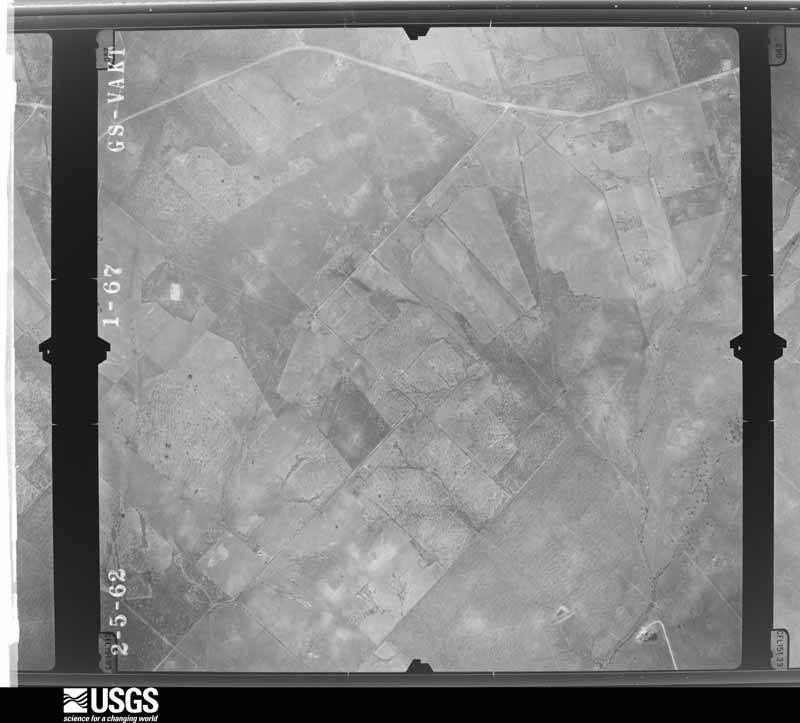
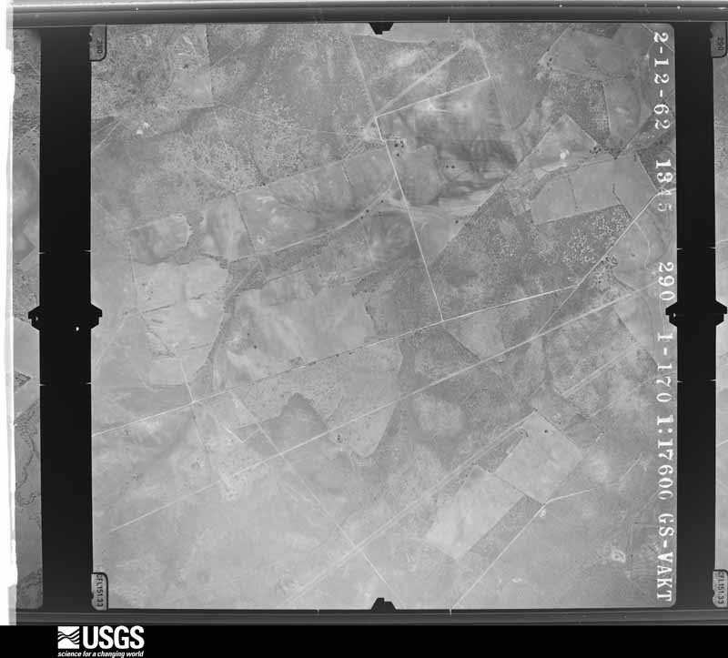
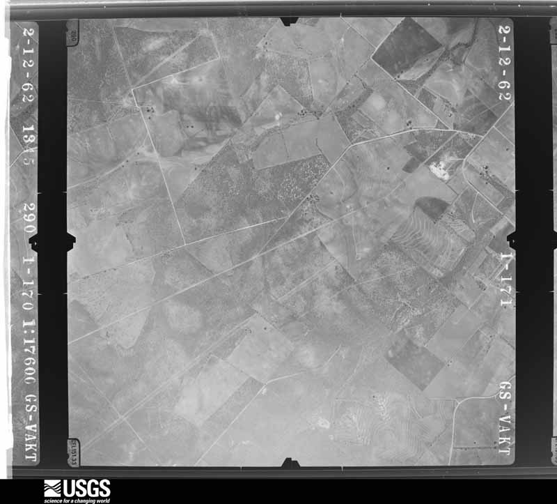
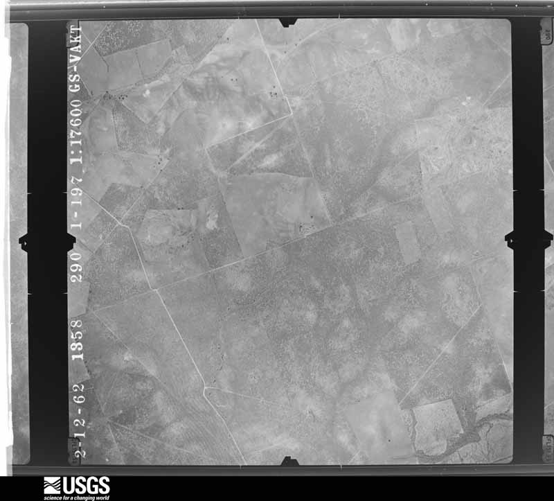
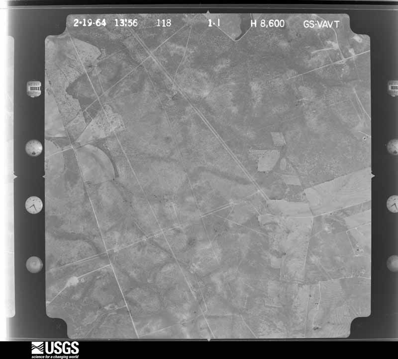
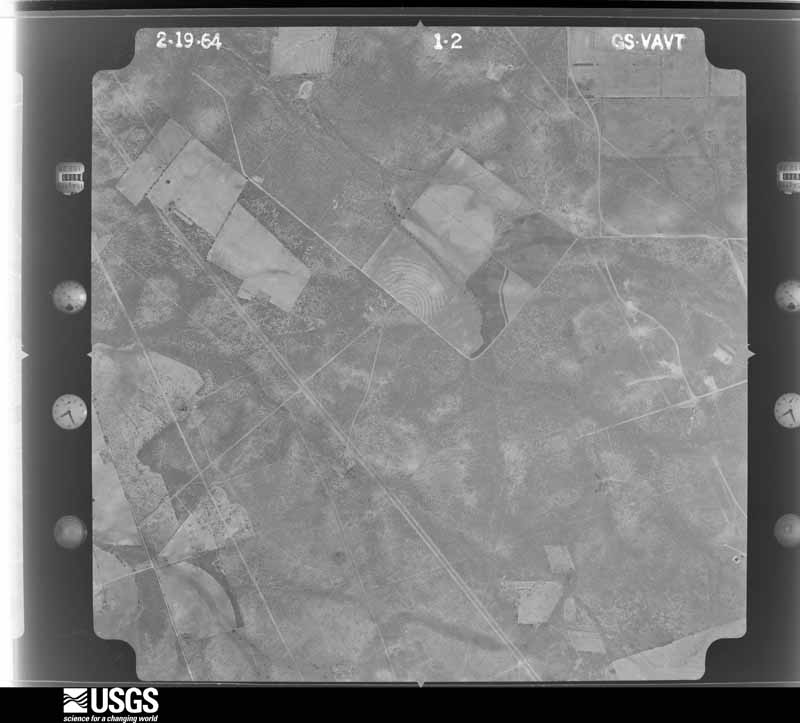
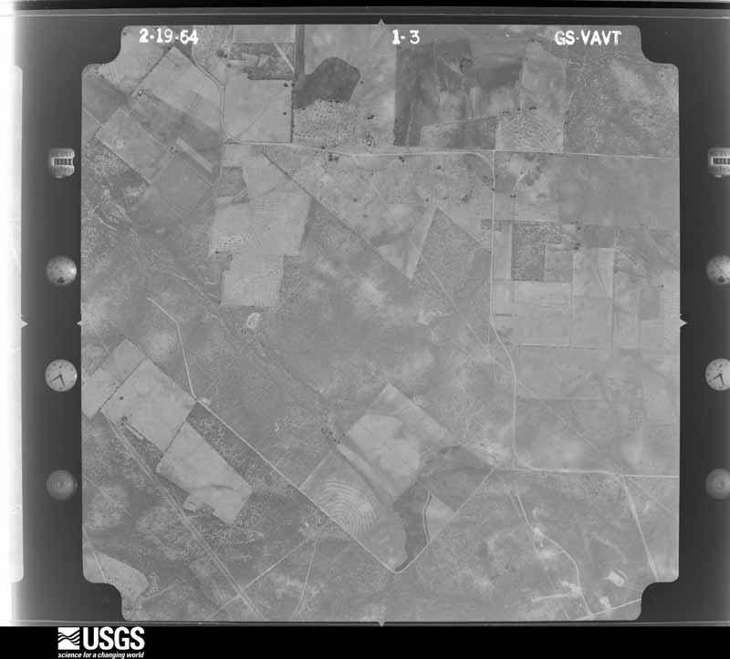
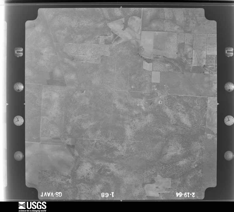
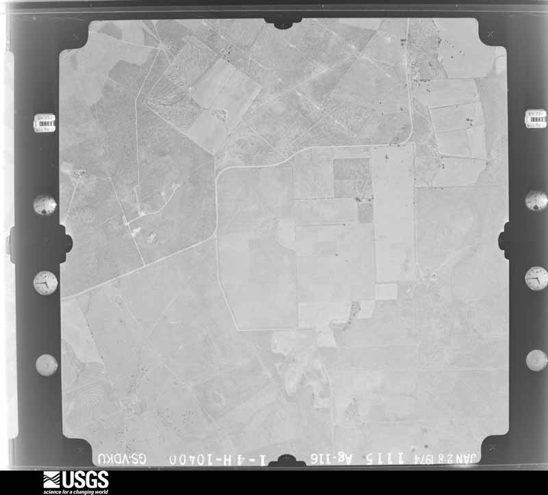
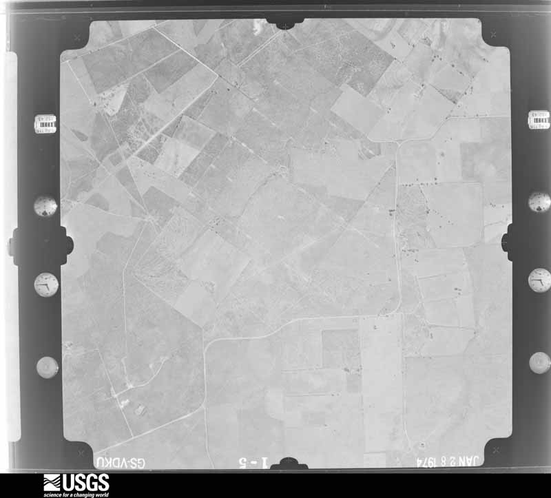
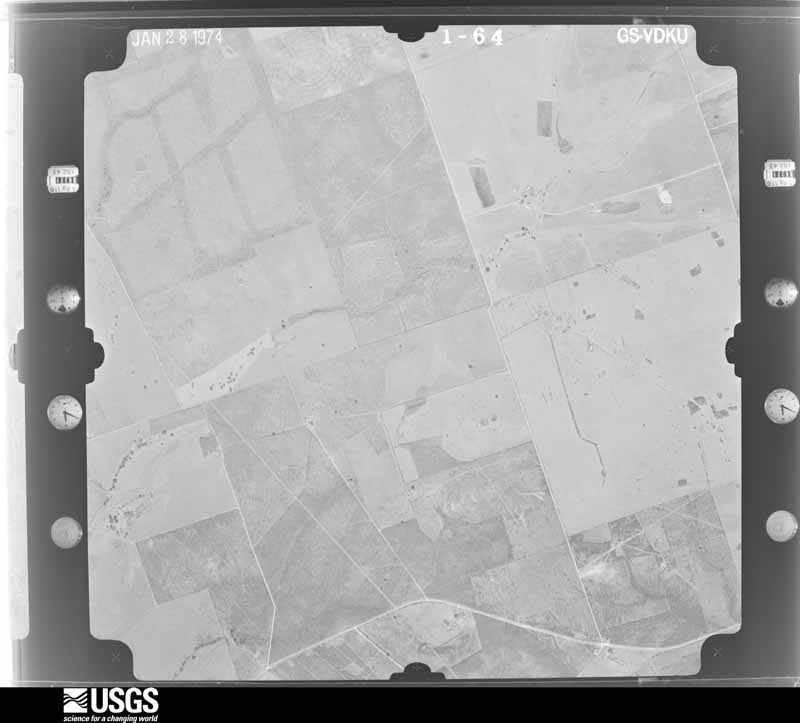
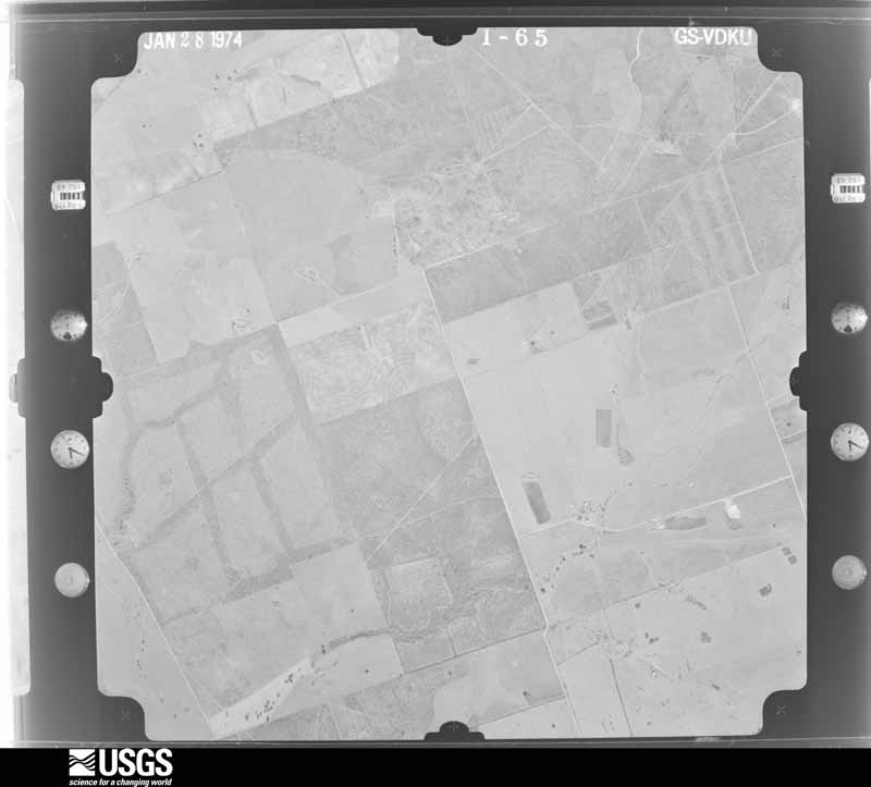
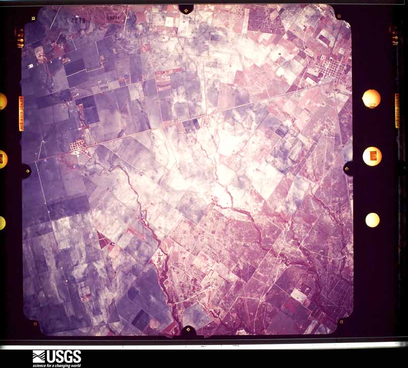
Flown by the U.S. Geological Survey between 1937 and 1989, the Aerial Photo Single Frames collection is the definitive mid-century view of the land: fields, roads and rivers as the camera saw them. The Survey holds 3,183 frames inside the rectangle that bounds this county; the 38 frames below were taken over the county itself, chosen across the decades of flights (at most four a year from that rectangle), so one flight cannot crowd out the rest. The full set is free to browse and download at EarthExplorer under the dataset Aerial Photo Single Frames.


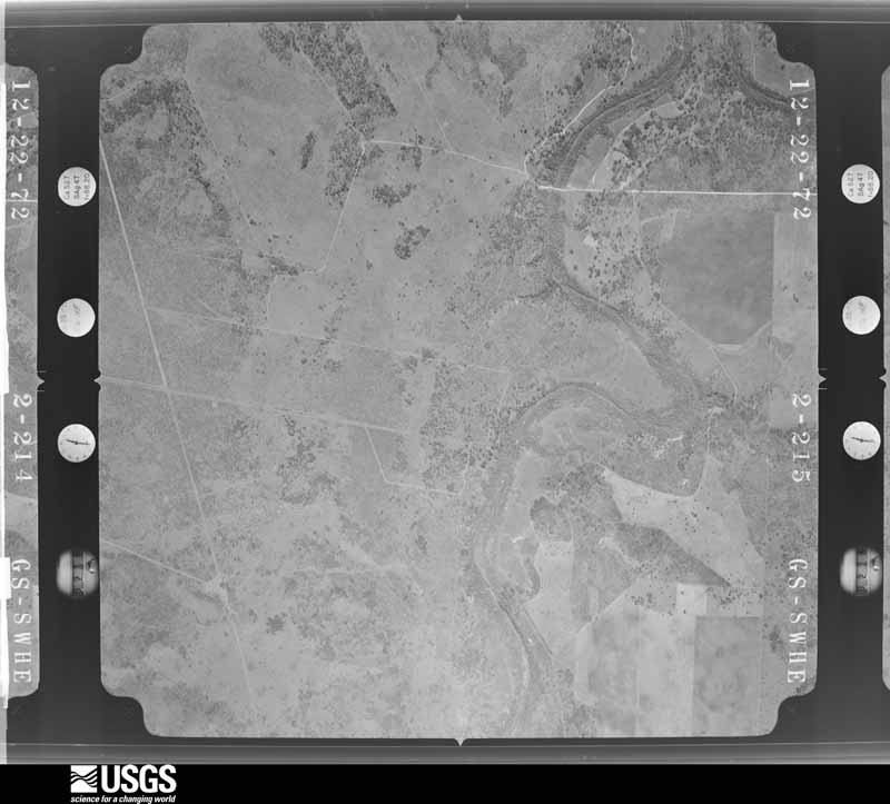
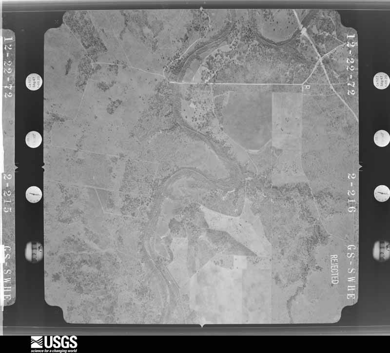
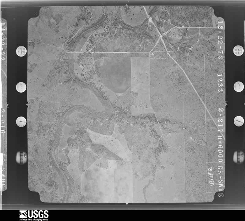
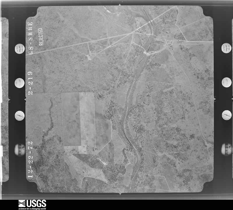


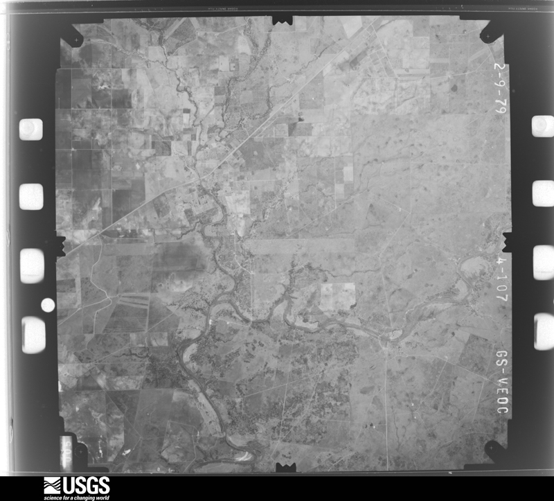
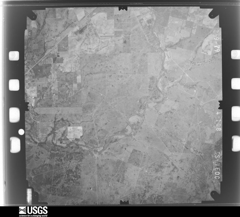
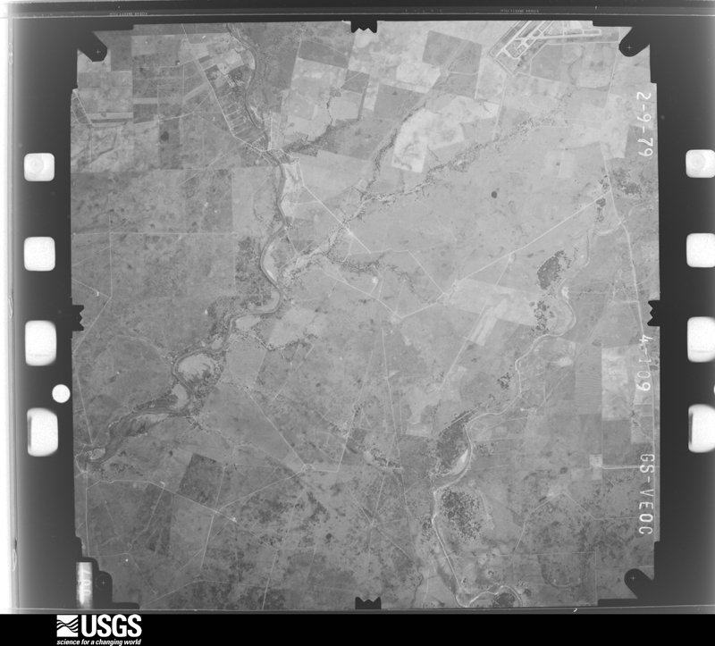
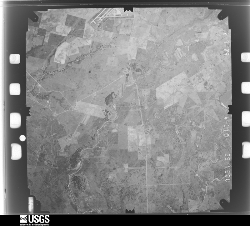



The thermometers that kept this county's weather, and the gages that measured the flow of its streams, as the federal records hold them. The extremes below are measured values from those records, not estimates.
Who lived here in 1950, one enumeration district at a time, as the Census Bureau described each district. Each row opens its official National Archives result, with Population Schedules and ED Maps available there.
Every wildfire the federal occurrence database records inside this county: 629 of them, burning about 12,348 acres. 4 started naturally and 10 were recorded as arson. Each settlement page carries the fires within five miles of it.
| Reported cause | Fires |
|---|---|
| Debris and open burning | 280 |
| Missing data/not specified/undetermined | 165 |
| Equipment and vehicle use | 100 |
| Smoking | 42 |
| Power generation/transmission/distribution | 17 |
| Arson/incendiarism | 10 |
| Misuse of fire by a minor | 6 |
| Recreation and ceremony | 5 |
| Natural | 4 |
The five largest, by the area the report gives. One of them was set deliberately.
| Date | Cause | Size | Reported by | Name on the report |
|---|---|---|---|---|
| 3 March 2009 | Equipment and vehicle use | 800 acres | Texas A & M Forest Service | PAWNEE FIRE |
| 2 January 2008 | Debris and open burning | 700 acres | Texas A & M Forest Service | not named |
| 12 December 2010 | Debris and open burning | 600 acres | Texas A & M Forest Service | POVLISH RD |
| 4 March 2009 | Debris and open burning | 600 acres | Texas A & M Forest Service | GRASS FIRE |
| 6 August 2016 | Debris and open burning | 500 acres | Texas A & M Forest Service | YOUNTS |
| 16 May 2018 | Arson/incendiarism | 339 acres | Texas A & M Forest Service | COUNTY ROAD 150 |
| 5 March 2008 | Equipment and vehicle use | 300 acres | Texas A & M Forest Service | not named |
| 5 May 2008 | Debris and open burning | 300 acres | Texas A & M Forest Service | not named |
Every settlement page carries the fires within five miles of it - see the settlement index below.
The NOAA Storm Events Database holds 284 reports for this county, causing no deaths, 6 injuries and about $15,810,280 in recorded property damage. Each settlement page carries the reports that name it.
| Kind of event | Reports |
|---|---|
| Hail | 86 |
| Thunderstorm Wind | 86 |
| Flash Flood | 59 |
| Tornado | 36 |
| Funnel Cloud | 7 |
| Flood | 5 |
| Heavy Rain | 4 |
| Lightning | 1 |
The most serious of them, by death, then injury, then recorded damage. The accounts are quoted exactly as the forecast office filed them.
| When | Event | Place named | Harm | What the report says |
|---|---|---|---|---|
| February 1994 | Tornado (F1) | Beeville | 5 hurt, $500,000 | A tornado touched down just southwest of the Beeville airport, destroying a large hangar. The tornado also destroyed five mobile homes near the airport, then lifted and dissipated. Power was reported out in the area as well. |
| May 1980 | Tornado (F1) | not stated | 1 hurt, $25,000 | no account filed |
| May 2017 | Thunderstorm Wind | Normanna | $5,000,000 | NWS Storm Survey team concluded a macroburst of straight line winds impacted Bee County. The greatest concentration of damage occurred from 10 miles northwest of Beeville to Beeville to Skidmore to east of Papalote. Peak wind speeds were estimated to be between 80 and 85 mph in Beeville and between 85 to 90 mph in Skidmore. This caused extensive and widespread tree damage, crop damage, and numerous bent or blown down utility poles. Many homes and mobile homes were damaged, mainly from falling tree limbs. A grain silo was blown down and damage occurred to the Bonnie plant farm on the south side of Beeville. Large trees were blown down in Skidmore. |
| April 1994 | Thunderstorm Wind | Countywide | $5,000,000 | The Sheriff's Department reported damage across much of the county. Thunderstorms moving through Bee County knocked down numerous trees and more than 30 power lines. Ten mobile homes suffered structural damage or were destroyed, and a house was damaged. The damage was very sporadic across the county, leading some to question whether a tornado might have occurred. No funnels or tornadoes, however, were reported to have been sighted. No injuries were indicated. |
| April 2019 | Tornado (EF0) | (Nir)Nas Chase Fld B | $1,250,000 | The tornado touched down on Chase Field southeast of Beeville and traveled about a half of a mile across the airport property before dissipating. The tornado damaged around 50 unsecured recreational vehicles (RVs) and severely damaged or destroyed 12 RVs. Several hangars had roof damage with asphalt roofing materials blown off on to the airport tarmac. Several unsecured, full sized single-wide mobile homes were blown over also. |
| May 2013 | Flash Flood | Pettus | $500,000 | Heavy rainfall between 7 to 9 inches occurred over northern Bee County causing significant flooding along Medio Creek. Flood waters from Medio Creek caused road closures along U. S. Highway 181 at the intersections with Farm to Market Road 623 in Pettus and with Farm to Market Road 798 in Tulsita. Flood waters reached a depth of 1 to 2 feet in homes and businesses in the city of Pettus, including the Dairy Queen and U. S. Post Office. Damage estimates from the flooding were at half of a million dollars. |
| February 1994 | Thunderstorm Wind | Blanco | $500,000 | A severe thunderstorm moving eastward across the county produced golf ball-sized hail, followed very quickly by a small and short-lived tornado. No one was injured and no significant damage was done by the tornado. |
| September 1988 | Tornado (F1) | not stated | $250,000 | no account filed |
| August 1981 | Tornado (F1) | not stated | $250,000 | no account filed |
| September 1968 | Tornado (F2) | not stated | $250,000 | no account filed |
| June 1962 | Tornado (F1) | not stated | $250,000 | no account filed |
| June 2021 | Thunderstorm Wind | Beeville | $200,000 | Roof and awning damage occurred to several buildings near West 2nd Street and Jackson Street. Trees were blown down and roof damage occurred around the city of Beeville. |
| May 2015 | Flash Flood | Poesta | $200,000 | Several city streets were flooded in Beeville with vehicles stalled in high water. Several homes were flooded in town. |
| May 2020 | Thunderstorm Wind | Beeville | $100,000 | Trees were uprooted and carports were damaged across the northwest part of Beeville. Beall's Department store sustained roof damage. |
| May 2017 | Thunderstorm Wind | Mineral | $100,000 | Pictures relayed through social media of significant property damage near Mineral. |
| February 2016 | Thunderstorm Wind | Beeville | $100,000 | Trees and power lines were blown down over the eastern portions of the city of Beeville. An awning at a business was blown down. Several fences were blown down. |
| February 2016 | Hail | Beeville | $100,000 | Spotter reported golf ball sized hail occurred at the hospital in Beeville, near Highway 181 and 59. Wind driven hail broke windows at the hospital and a few businesses. |
| May 2012 | Hail | Beeville | $100,000 | Golf ball sized hail occurred at the Central Fire Station in Beeville. |
| May 2004 | Flash Flood | South Portion | $94,000 | Extensive flash flooding occurred across the southern portion of Bee county, mainly south of U.S. 59. All primary and secondary roads became impassible. Roads into Tynan, Skidmore and Papalote were all cutt off due to high water. Several homes, a church and three school buildings were flooded in Skidmore. Rescues were required for some residents throughout the southern part of the county. Schools were closed the next day due to impassible roads. Radar estimates widespread 5 to 8 inches of rain fell over the southern half of the county, south of Beeville. A bullseye of 8 to 12 inches was estimated to have fallen between Skidmore, Tynan and Olmos. A spotter recorded 7.7 inches of rain falling in just 2.5 hours. See episode narrative below for more information including rainfall amounts. |
| July 2023 | Thunderstorm Wind | Beeville | $50,000 | Power poles were blown down in Beeville with portions of the city without electricity. |
| May 2015 | Flash Flood | Beeville | $50,000 | Many streets in Beeville were flooded. A water rescue was performed to pull a woman from a car in flood waters at Stamper Street and Alta Vista Boulevard. |
| April 2015 | Thunderstorm Wind | Tynan | $50,000 | Winds blew power poles down along a long stretch of Highway 359 between Tynan and Skidmore. Power poles and power lines were on the west bound lanes causing a road closure. |
| May 2015 | Thunderstorm Wind | Yougeen | $50,000 | A power pole was blown down near Farm to Market Roads 888 and 351. Large tree limbs were blown down through the city of Beeville. |
| May 2012 | Flash Flood | Beeville | $50,000 | Heavy rainfall of 2 to 3 inches in an hour caused flooding of low lying areas. High water rescue was conducted by Beeville Fire Department along Poesta Creek. |
| July 2007 | Flash Flood | Beeville | $50,000 | Between 3 and 6 inches of heavy rain fell across portions of central and southern Bee county, resulting in widespread flash flooding of small creeks and low lying roads. Many secondary roads and highways as well as Farm to Market Roads throguhout the county were flooded. Water made it into some homes along West Bowie Street in Beeville. Hardest hit areas in Beeville were streets along the flooded Poesta Creek. Roughly 20 people were rescued from stranded vehicles and from homes in Beeville. |
| May 1993 | Thunderstorm Wind | Beeville | $50,000 | The County Sheriff's Office reported some mobile homes blown off their foundations and tree damage in the Blueberry Hill area. |
| May 1993 | Thunderstorm Wind | Beeville | $50,000 | The Sheriff's Office reported power lines down near Beeville and several large trees down near Normanna. |
| June 2021 | Thunderstorm Wind | Beeville | $25,000 | Tree was blown down on to the roof of a garage. |
| March 2018 | Thunderstorm Wind | Beeville | $25,000 | Trees and power poles were blown down near Paw Place in Beeville. |
| June 2018 | Flash Flood | Beeville | $25,000 | Heavy rain to the northwest of Beeville in the watershed of Poesta Creek led to flooding in Beeville. Low lying areas along Poesta Creek were flooded with road closure barricades set up. Farm to Market Roads 673 and 351 were flooded. A few water rescues were conducted for people driving around barricades. |
| May 2015 | Hail | Beeville | $25,000 | Quarter sized hail occurred in Beeville. |
| March 2012 | Hail | Beeville | $25,000 | Pea to quarter sized hail occurred in the city of Beeville. |
| May 2012 | Hail | Beeville Muni Arpt | $25,000 | Spotter reported mostly nickel sized hail with some golf ball sized hail to the southwest of Beeville. |
| March 2009 | Thunderstorm Wind | Olmos | $25,000 | A supercell moved southeast across Live Oak County into Bee County. This storm produced a 5 to 10 mile swath of damage mainly due to high winds. A couple of semi-trucks were turned over along Interstate 37. Several power poles were snapped or leaned over along with highway signs being blown over and business signs blown out. Medium to large tree branches were snapped in some areas along the path. Damage to cables on cell phone towers was also observed. The winds were estimated to be 60 to 70 mph with gusts as high as 80 mph. |
| May 2006 | Flash Flood | Beeville | $25,000 | Several city streets flooded in Beeville. Nine water rescues performed on people stranded in vehicles at the corner of Minneapolis and Stamper Streets. One rescue performed on women who was stranded in home flooded by rising water. Several businesses along North Washington Street had rising water enter their buildings. |
| September 1991 | Tornado (F1) | not stated | $25,000 | no account filed |
| May 1981 | Tornado (F0) | not stated | $25,000 | no account filed |
| August 1980 | Tornado (F0) | not stated | $25,000 | no account filed |
| April 1976 | Tornado (F3) | not stated | $25,000 | no account filed |
| September 1967 | Tornado | not stated | $25,000 | no account filed |
| June 1963 | Tornado (F2) | not stated | $25,000 | no account filed |
| May 2013 | Heavy Rain | Poesta | $20,000 | Four inches of rain occurred northeast of Beeville. This led to water covering the roadway on U. S. Highway 59 which caused multiple vehicle accidents. |
| June 2010 | Tornado (EF1) | Tynan | $20,000 | An NWS Survey concluded and EF-1 tornado touched down approximately 1.5 miles southeast of Tynan, in a grain field south of FM 796. The tornado was approximately 1/4 mile wide, and on the ground for roughly 2.51 miles in San Patricio County before crossing into Bee County. The tornado then continued roughly another 5 miles to the east-southeast on the Bee and San Patricio County line, or just inside the Bee County line. Crops were flattened, several large crop sprinklers flipped over, a shed was partially destroyed, and power poles snapped along the path. Maximum wind speeds of 90 mph were estimated. |
| March 2009 | Lightning | Beeville | $20,000 | Lightning struck an oil tank, which resulted in a fire. |
| May 2021 | Thunderstorm Wind | Pawnee | $15,000 | Bee County emergency management reported damage to barns and outbuildings from thunderstorms. |
| May 2017 | Thunderstorm Wind | Beeville Muni Arpt | $15,000 | Beeville Municipal Airport AWOS measured a gust to 81 mph. Damage occurred to a couple of storage buildings at the airport. |
| February 2013 | Thunderstorm Wind | Skidmore | $15,000 | NWS storm survey concluded that a microburst with winds up to 70 mph impacted a narrow corridor through the central portion of the city of Skidmore. The axis of wind damage was concentrated near the intersection of U. S. Highway 181 and West Main Street. The perimeter fence of the high school baseball field was torn down. A portion of a roof was lifted off a home near North 7th Street and East Mathis Street, and a large tree limb as blown down on 2nd Street. |
| June 2021 | Flash Flood | Beeville | $10,000 | Water covered the roadway on Farm to Market Road 888 just south of Highway 351 on the south side of Beeville. |
| June 2021 | Flash Flood | Skidmore | $10,000 | Highway 359 was closed due to water over the road between Skidmore and Tynan. |
| June 2021 | Flash Flood | Beeville | $10,000 | Water was over the road on Highway 59 southwest of Beeville. |
| May 2019 | Thunderstorm Wind | Tulsita | $10,000 | Trees were blown down along Farm to Market Road 798 near Tulsita. |
| June 2019 | Hail | Blanconia | $10,000 | Hen egg sized hail occurred in Blanconia. |
| April 2017 | Hail | Tuleta | $10,000 | Golf ball sized hail occurred in Tuleta. |
| May 2016 | Thunderstorm Wind | Beeville | $10,000 | Winds blew down 10 trees in the city of Beeville. |
| April 2015 | Thunderstorm Wind | Beeville | $10,000 | Power lines and trees were blown down around East Claire Street and North Jefferson Street. Many areas in Beeville were without power. |
| April 2015 | Thunderstorm Wind | Beeville | $10,000 | Multiple power poles were blown down near Avenue E in Beeville. |
| March 2012 | Hail | Beeville | $10,000 | Spotter reported quarter sized hail in the northeast side of the city of Beeville. |
| June 2012 | Thunderstorm Wind | Beeville Muni Arpt | $10,000 | Thunderstorm winds blew a porch off of a mobile home. A large tree was blown down also. |
| March 2012 | Thunderstorm Wind | Beeville | $10,000 | Minor roof damage to some homes and two uprooted trees were reported in Beeville. |
| August 2023 | Thunderstorm Wind | Tynan | $5,000 | A shed and mesquite trees were blown down northwest of Tynan near Farm to Market Road 796. |
The Survey's mineral resources record lists 4 workings inside this county. 2 still produce and 2 are closed or unrecorded. Each settlement page carries the workings within five miles of it.
| Commodity | Workings |
|---|---|
| Uranium | 2 |
| Stone, Crushed/Broken | 2 |
| Molybdenum, Selenium | 1 |
The least common of them first, because a county's hundredth gravel pit says nothing its first ten did not.
| Where | Site | Commodity | Status | Recorded |
|---|---|---|---|---|
| Pawnee Mine | Uranium, Molybdenum, Selenium | Past Producer | Stratabound | |
| Intercontinental Energy Corp | Uranium | Producer | ||
| Moore Materials Co Inc | Stone, Crushed/Broken | Producer | ||
| Unknown | Stone, Crushed/Broken | Past Producer |
Named settlements recorded in the Geographic Names Information System, each with the topographic sheets covering it. Villages, hamlets and abandoned places alike. Each is shown with the nearest named watercourse or landform and the survey quadrangle it falls on. The 1 place that was also surveyed for fire insurance comes first, with the number of atlases and photographs held for them.
Beeville census division · 78102 · Beeville East quadrangle
9 sheets, 1953 to 1985
Fire insurance: 7 atlases
Beeville census division · 78102 · Beeville East quadrangle
9 sheets, 1953 to 1985
Beeville census division · 78102 · Beeville West quadrangle
9 sheets, 1953 to 1985
Pettus-Pawnee census division · 78104 · On San Domingo Creek · Tuleta quadrangle
9 sheets, 1936 to 1985
Beeville census division · 78102 · Beeville West quadrangle
9 sheets, 1953 to 1985
Beeville census division · 78102 · Beeville East quadrangle
9 sheets, 1953 to 1985
Skidmore census division · 78387 · On Ratta Creek · Papalote quadrangle
9 sheets, 1953 to 1985
Beeville census division · 78102 · On Elm Creek · Clareville quadrangle
9 sheets, 1953 to 1985
Beeville census division · 78102 · Beeville West quadrangle
9 sheets, 1953 to 1985
Pettus-Pawnee census division · 78162 · On Toro Creek · Tuleta quadrangle
9 sheets, 1936 to 1985
Beeville census division · 78102 · On Dry Creek · Skidmore quadrangle
9 sheets, 1953 to 1985
9 topographic sheets and 7 fire insurance atlases, 1898 to 1947
The complete index, with nothing left out. Each of these is a separate record with its own page: a federal survey report, or the case file that argued a property on to the National Register. Both are public domain and reproduced word for word.