 Block
BlockBeeville, Texas
9 topographic sheets cover this place, the earliest surveyed in 1953 and the latest in 1985. It stands in the Beeville census division. It lies in ZIP code area 78102. The Survey maps it on the Beeville East quadrangle. 13,669 people lived here at the 2020 count. It stands 210 feet above sea level.
Research this city
On record in Beeville
Buildings and businesses the archive holds for this place. Each opens its own page, with the source record it came from.
On the National Register 12 records
 Bee County Courthouselisted 2001
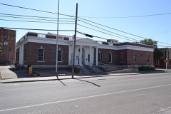 Beeville Post Officelisted 2007
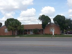 Lott-Canada Schoollisted 2010
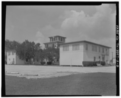 NAS Chase Field-Building 1001listed 1994
 Praeger Buildinglisted 1982
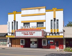 Rialto Theaterlisted 2001
- NAS Chase Field-Building 1009listed 1994
- NAS Chase Field-Building 1015listed 1994
- NAS Chase Field-Building 1040listed 1994
- NAS Chase Field-Building 1042listed 1994
- NAS Chase Field-Quarters Rlisted 1994
- NAS Chase Field-Quarters Slisted 1994
Surveyed buildings and structures 8 records
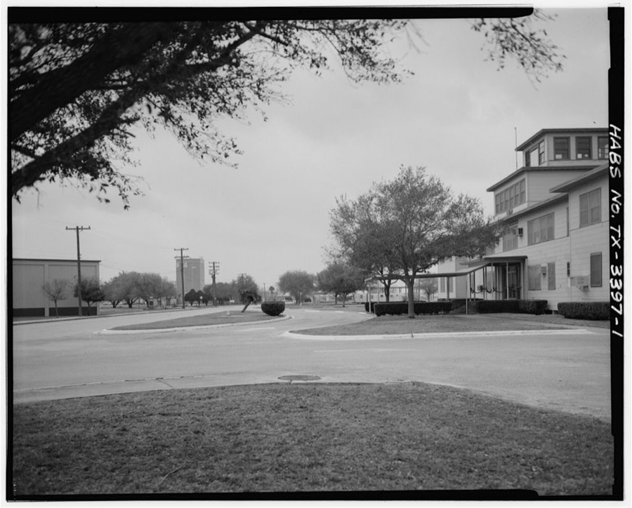
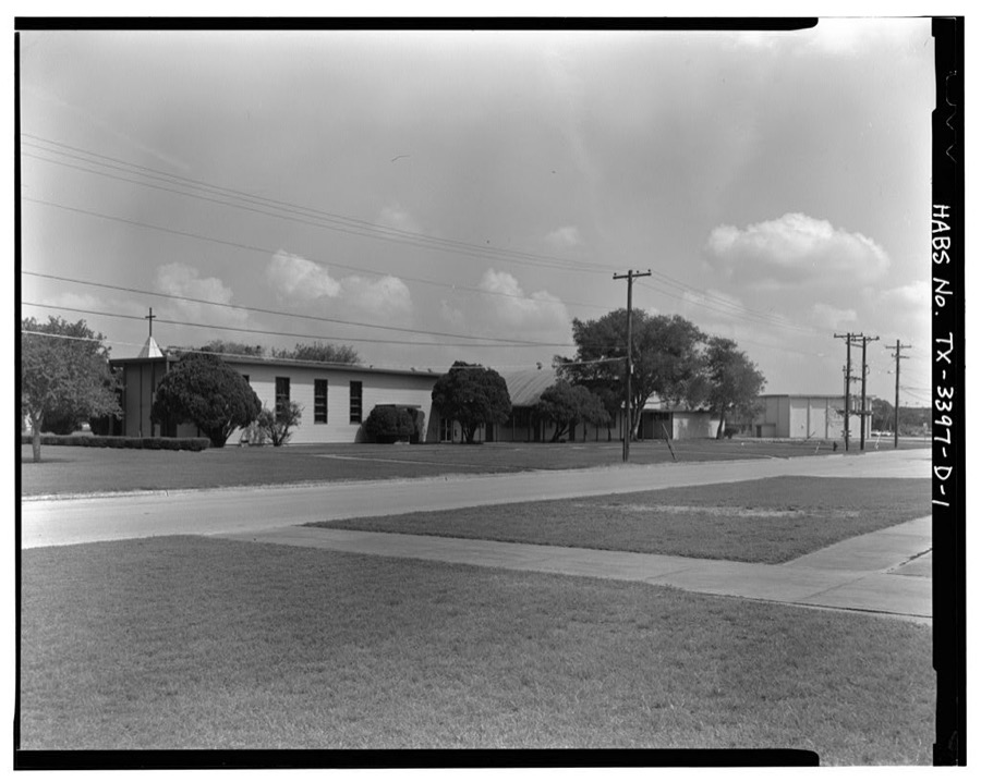
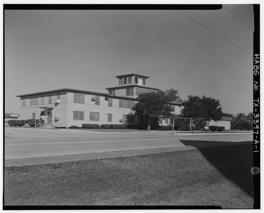
- Naval Air Station Chase Field, Building 1001, Independence Street, .45 mile south of intersection of Texas State Highway & Independence Street, Beevillefederal building survey, 9 photographs
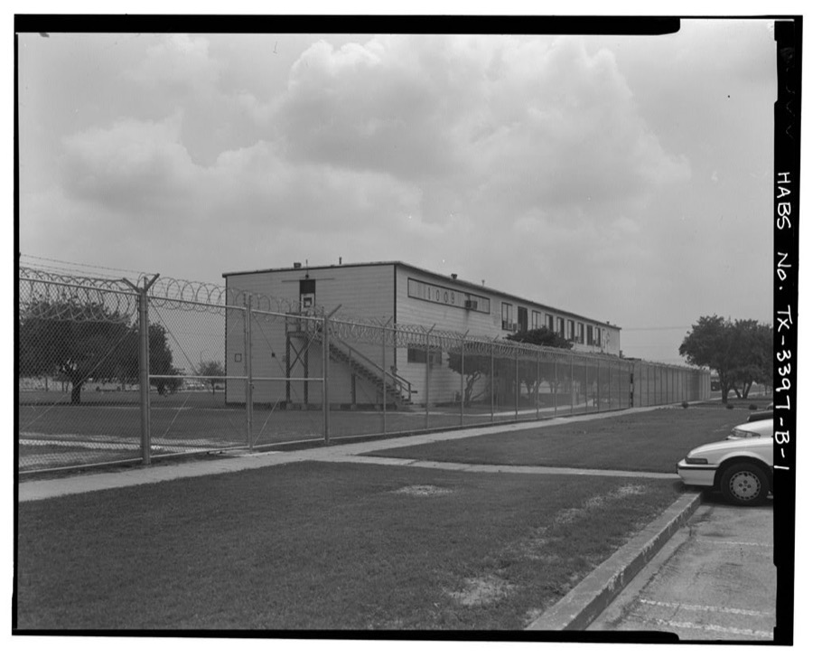
- Naval Air Station Chase Field, Building 1009, Essex Street, .68 mile South-southeast of intersection of Texas State Highway 202 & Independence Street, Beevillefederal building survey, 9 photographs
- Naval Air Station Chase Field, Building 1015, Byrd Street, .82 mile South-southeast of intersection of Texas State Highway 202 & Independence Street, Beevillefederal building survey, 8 photographs
- Naval Air Station Chase Field, Building 1040, Enterprise Street, .37 mile South-Southeast of intersection of Texas State Highway 202 & Independence Street, Beevillefederal building survey, 10 photographs
- Naval Air Station Chase Field, Building 1042, Ofstie Road, .6 mile South-Southeast of intersection of Texas State Highway 202 & Independence Street, Beevillefederal building survey, 5 photographs
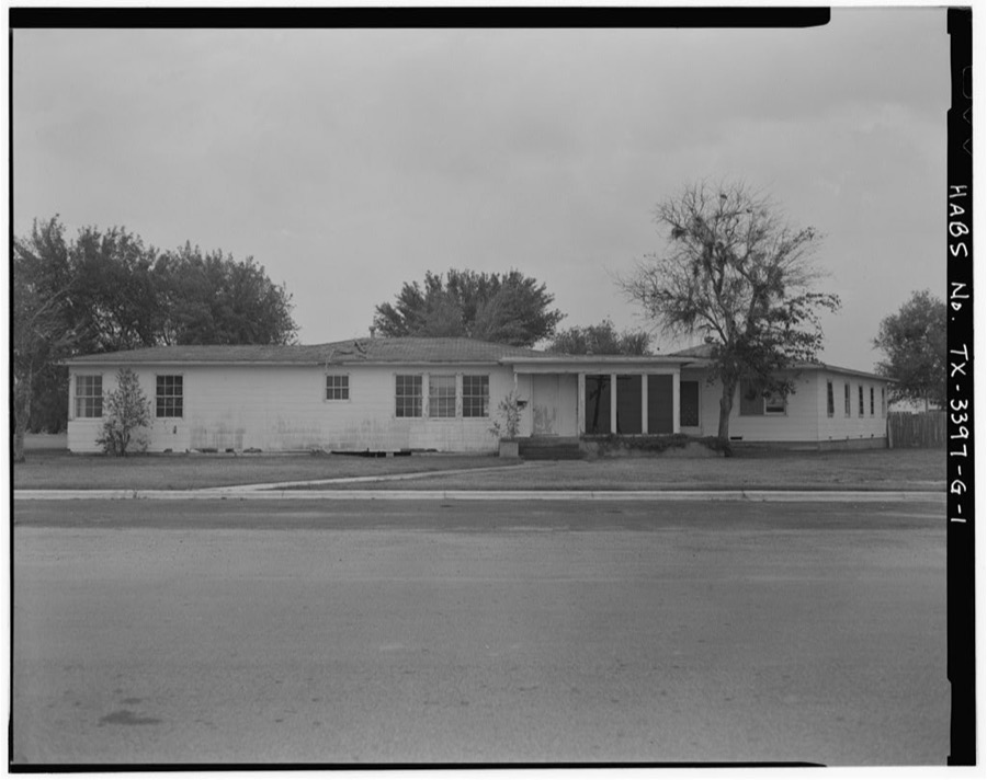
- Naval Air Station Chase Field, Quarters R, Essex Street, .43 mile South-Southeast of intersection of Texas State Highway 202 & Independence Street, Beevillefederal building survey, 5 photographs
- Naval Air Station Chase Field, Quarters S, Essex Street, .45 mile South-Southeast of intersection of Texas State Highway 202 & Independence Street, Beevillefederal building survey, 6 photographs
- Naval Air Station Chase Field, Texas State Highway 202, 4.8 miles east of intersection of Texas State Highway 202 & U.S. State Highway 181, Beevillefederal building survey, 4 photographs
Population over time
2 figuresBeeville grew from 12,863 to 13,669 between 2010 and 2020. These are the recorded population figures Wikidata holds for this place, reached through the Geographic Names Information System number this page is keyed on rather than by name, so they belong to this place and not to another of the same name. Most are census counts, but not all are: an early figure may be a founding or settlement estimate, and an estimate published within five years of a census is left out. The change column is computed, and is left blank where more than 20 years separate a figure from the one before it, because a gap that long is not a change between two counts.
| Year | People | Change |
|---|---|---|
| 2010 | 12,863 | |
| 2020 | 13,669 | +806 (+6%) |
Topographic sheets covering this place
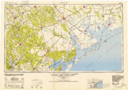
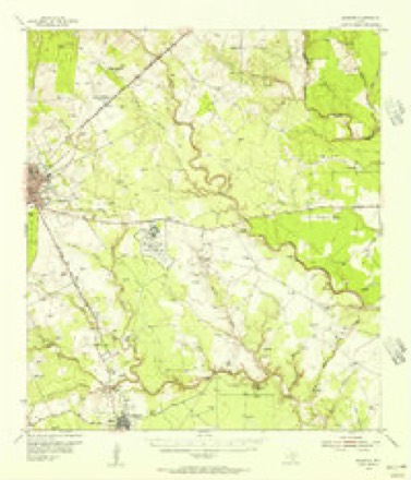
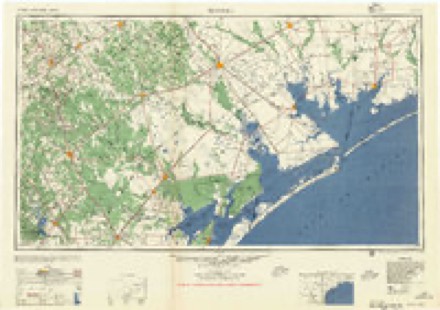
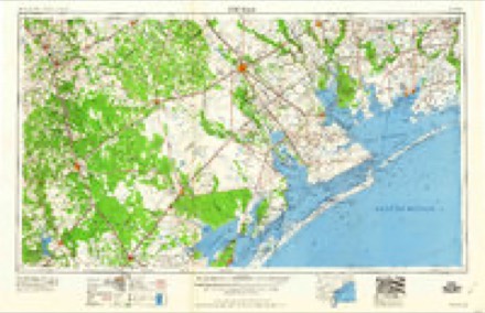
6 surveys from 9 printed sheetsMatched by testing this settlement's coordinate against the published boundary of every sheet in the United States Geological Survey's historical collection. Each opens the scanned sheet at the Survey.
- 1953 USGS Beeville quadrangle1:250000
- 1954 USGS Skidmore quadrangle1:62500, 2 printings
- 1956 USGS Beeville quadrangle1:250000, 2 printings
- 1960 USGS Beeville quadrangle1:250000
- 1979 USGS Beeville East quadrangle1:24000
- 1985 USGS Beeville quadrangle1:100000, 2 printings
Photographs
8 photographs,Taken for the Office of War Information and the Farm Security Administration, who photographed the country between 1935 and 1944. Works of United States government photographers, with no known restriction on use. Each opens its catalogue record.
Photographer not recorded. Library of Congress
Photographer not recorded. Library of Congress
Photographer not recorded. Library of Congress
Photographer not recorded. Library of Congress
Photographer not recorded. Library of Congress
Photographer not recorded. Library of Congress
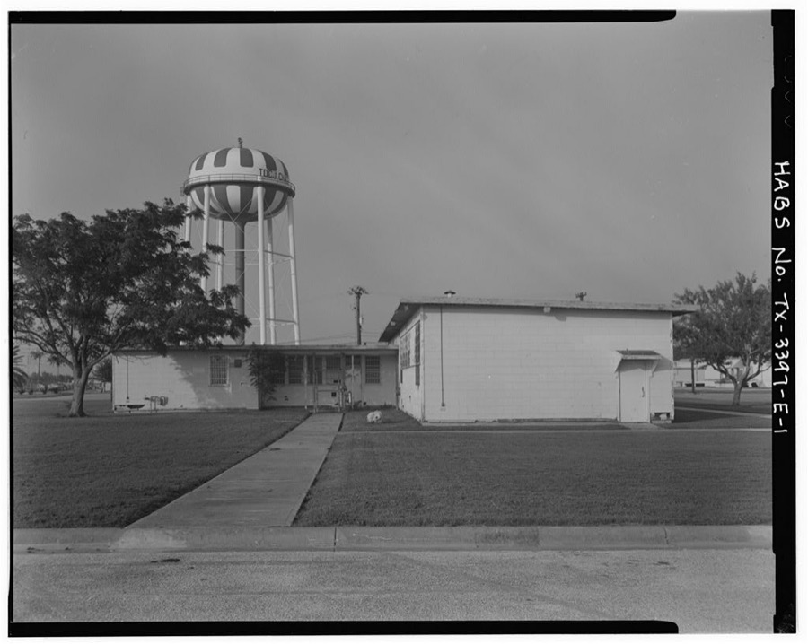
Photographer not recorded. Library of Congress
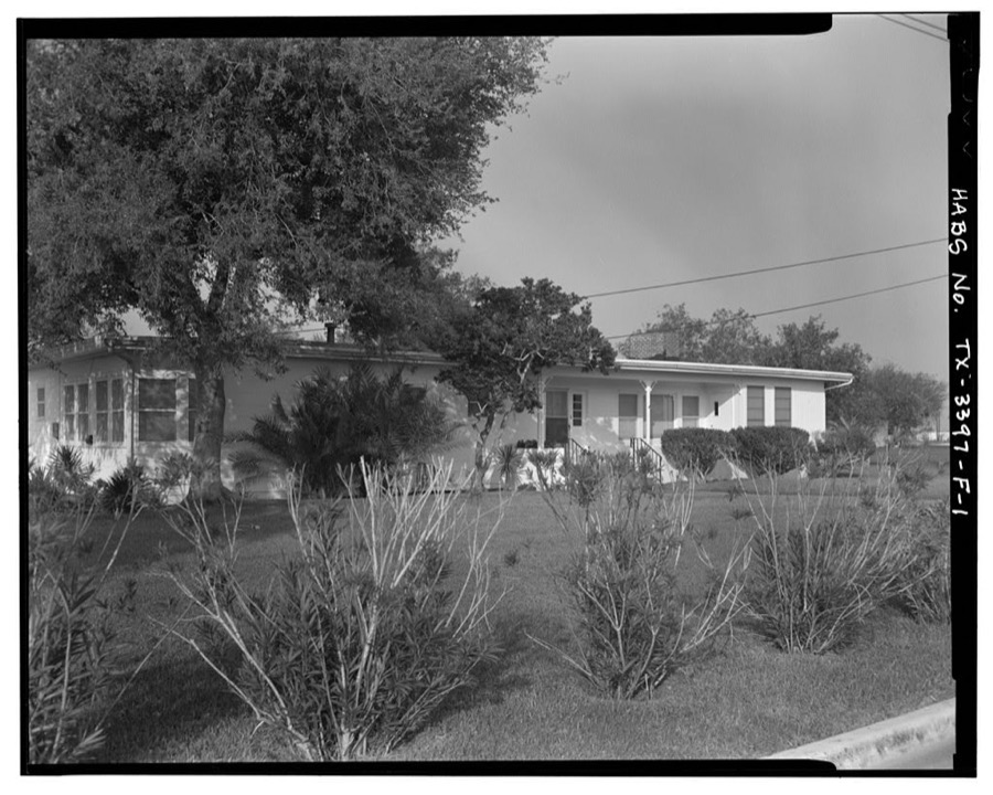
Photographer not recorded. Library of Congress
Fires near this place
108 since 2006Regional context, not property-specific evidence. The federal wildfire occurrence database lists 108 fires within 5 miles of Beeville between 2006 and 2020, burning about 778 acres in total. None started naturally. 1 was recorded as arson. Distance is straight-line from the map coordinates, so a fire counted here may appear on a neighbouring settlement's page as well.
| Reported cause | Fires |
|---|---|
| Debris and open burning | 45 |
| Missing data/not specified/undetermined | 32 |
| Equipment and vehicle use | 16 |
| Smoking | 7 |
| Recreation and ceremony | 3 |
| Misuse of fire by a minor | 3 |
| Power generation/transmission/distribution | 1 |
| Arson/incendiarism | 1 |
The most recent of them, most recent first, with the day each was reported and the service that recorded it.
| Date | Cause | Size | Reported by | Name on the report |
|---|---|---|---|---|
| 30 September 2008 | Debris and open burning | 3.0 acres | Texas A & M Forest Service | not named |
| 3 September 2008 | Debris and open burning | under an acre | Texas A & M Forest Service | not named |
| 19 September 2019 | Missing data/not specified/undetermined | under an acre | Texas A & M Forest Service | MULCH |
| 8 August 2019 | Missing data/not specified/undetermined | under an acre | Texas A & M Forest Service | STRIPES |
| 8 August 2013 | Equipment and vehicle use | 3.0 acres | Texas A & M Forest Service | CHARCO |
| 8 August 2008 | Debris and open burning | 3.0 acres | Texas A & M Forest Service | not named |
| 8 August 2008 | Debris and open burning | 1.0 acres | Texas A & M Forest Service | not named |
| 8 August 2008 | Missing data/not specified/undetermined | 1.0 acres | Texas A & M Forest Service | not named |
Settlements close enough to share some of these fires:
Storms near this place
60 of 76 shownRegional context, not property-specific evidence. The National Weather Service names Beeville in 76 storm reports between 1993 and 2023: 24 thunderstorm wind, 22 hail, 22 flash flood, 6 tornado. The reports record 5 injuries. Each account below is quoted exactly as the forecast office filed it, from the NOAA Storm Events Database, and each date opens the federal record of that event.
| When | Event | Place named | Harm | What the report says |
|---|---|---|---|---|
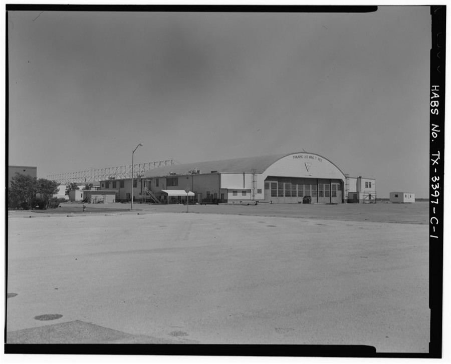
| February 1994 | Tornado (F1) | Beeville | 5 hurt, $500,000 | A tornado touched down just southwest of the Beeville airport, destroying a large hangar. The tornado also destroyed five mobile homes near the airport, then lifted and dissipated. Power was reported out in the area as well. |
| June 2021 | Thunderstorm Wind | Beeville | $200,000 | Roof and awning damage occurred to several buildings near West 2nd Street and Jackson Street. Trees were blown down and roof damage occurred around the city of Beeville. |
| May 2020 | Thunderstorm Wind | Beeville | $100,000 | Trees were uprooted and carports were damaged across the northwest part of Beeville. Beall's Department store sustained roof damage. |
| February 2016 | Thunderstorm Wind | Beeville | $100,000 | Trees and power lines were blown down over the eastern portions of the city of Beeville. An awning at a business was blown down. Several fences were blown down. |
| February 2016 | Hail | Beeville | $100,000 | Spotter reported golf ball sized hail occurred at the hospital in Beeville, near Highway 181 and 59. Wind driven hail broke windows at the hospital and a few businesses. |
| May 2012 | Hail | Beeville | $100,000 | Golf ball sized hail occurred at the Central Fire Station in Beeville. |
| July 2023 | Thunderstorm Wind | Beeville | $50,000 | Power poles were blown down in Beeville with portions of the city without electricity. |
| May 2015 | Flash Flood | Beeville | $50,000 | Many streets in Beeville were flooded. A water rescue was performed to pull a woman from a car in flood waters at Stamper Street and Alta Vista Boulevard. |
| May 2012 | Flash Flood | Beeville | $50,000 | Heavy rainfall of 2 to 3 inches in an hour caused flooding of low lying areas. High water rescue was conducted by Beeville Fire Department along Poesta Creek. |
| July 2007 | Flash Flood | Beeville | $50,000 | Between 3 and 6 inches of heavy rain fell across portions of central and southern Bee county, resulting in widespread flash flooding of small creeks and low lying roads. Many secondary roads and highways as well as Farm to Market Roads throguhout the county were flooded. Water made it into some homes along West Bowie Street in Beeville. Hardest hit areas in Beeville were streets along the flooded Poesta Creek. Roughly 20 people were rescued from stranded vehicles and from homes in Beeville. |
| May 1993 | Thunderstorm Wind | Beeville | $50,000 | The County Sheriff's Office reported some mobile homes blown off their foundations and tree damage in the Blueberry Hill area. |
| May 1993 | Thunderstorm Wind | Beeville | $50,000 | The Sheriff's Office reported power lines down near Beeville and several large trees down near Normanna. |
| June 2021 | Thunderstorm Wind | Beeville | $25,000 | Tree was blown down on to the roof of a garage. |
| March 2018 | Thunderstorm Wind | Beeville | $25,000 | Trees and power poles were blown down near Paw Place in Beeville. |
| June 2018 | Flash Flood | Beeville | $25,000 | Heavy rain to the northwest of Beeville in the watershed of Poesta Creek led to flooding in Beeville. Low lying areas along Poesta Creek were flooded with road closure barricades set up. Farm to Market Roads 673 and 351 were flooded. A few water rescues were conducted for people driving around barricades. |
| May 2015 | Hail | Beeville | $25,000 | Quarter sized hail occurred in Beeville. |
| March 2012 | Hail | Beeville | $25,000 | Pea to quarter sized hail occurred in the city of Beeville. |
| May 2006 | Flash Flood | Beeville | $25,000 | Several city streets flooded in Beeville. Nine water rescues performed on people stranded in vehicles at the corner of Minneapolis and Stamper Streets. One rescue performed on women who was stranded in home flooded by rising water. Several businesses along North Washington Street had rising water enter their buildings. |
| March 2009 | Lightning | Beeville | $20,000 | Lightning struck an oil tank, which resulted in a fire. |
| June 2021 | Flash Flood | Beeville | $10,000 | Water covered the roadway on Farm to Market Road 888 just south of Highway 351 on the south side of Beeville. |
| June 2021 | Flash Flood | Beeville | $10,000 | Water was over the road on Highway 59 southwest of Beeville. |
| May 2016 | Thunderstorm Wind | Beeville | $10,000 | Winds blew down 10 trees in the city of Beeville. |
| April 2015 | Thunderstorm Wind | Beeville | $10,000 | Power lines and trees were blown down around East Claire Street and North Jefferson Street. Many areas in Beeville were without power. |
| April 2015 | Thunderstorm Wind | Beeville | $10,000 | Multiple power poles were blown down near Avenue E in Beeville. |
| March 2012 | Hail | Beeville | $10,000 | Spotter reported quarter sized hail in the northeast side of the city of Beeville. |
| March 2012 | Thunderstorm Wind | Beeville | $10,000 | Minor roof damage to some homes and two uprooted trees were reported in Beeville. |
| April 2021 | Thunderstorm Wind | Beeville | $5,000 | Power lines were blown down on East Clair Street in Beeville. |
| May 2020 | Thunderstorm Wind | Beeville | $5,000 | Public reported shingles blown off of a home in Beeville through MPing. |
| August 2011 | Thunderstorm Wind | Beeville | $5,000 | Winds blew down power lines into trees in the central sections of Beeville. |
| March 2007 | Thunderstorm Wind | Beeville | $5,000 | Straight line winds from a severe thunderstorm resulted in damage across the west side of Beeville. A 4 by 8 section of a one story apartment on West Fannin St. was blown off by the winds. There was damage to large tree limbs in the area and a large hackberry tree was blown down, damaging three vehicles. |
| May 1994 | Hail | Beeville | $5,000 | A funnel was reported along Highway 181 by Sheriffs Office. Funnel was spotted shortly afterward along Highway 797. |
| May 2021 | Flash Flood | Beeville | - | Flooded roads from heavy rain were reported in and around Beeville, resulting in one stalled vehicle. |
| July 2021 | Flash Flood | Beeville | - | Frontage road on Highway 181 on the southeast side of Beeville was closed due to being covered by high water. Video also showed creek overflowing a bridge southeast of Beeville. |
| April 2019 | Flash Flood | Beeville | - | Spotter reported flood waters to a depth of one foot on St. Mary's Street in Beeville. |
| April 2015 | Hail | Beeville | - | Golf ball sized hail occurred on the southwest side of Beeville. |
| April 2015 | Hail | Beeville | - | Penny sized hail occurred near North Avenue E in Beeville. |
| May 2015 | Hail | Beeville | - | Quarter sized hail occurred to the southwest of Beeville. |
| May 2015 | Flash Flood | Beeville | - | Observer measured 4.4 inches of rainfall in Beeville. Several city streets were flooded. Water covered both lanes of Highway 59 east of Beeville. |
| May 2012 | Flash Flood | Beeville | - | Heavy rain caused street flooding with roads closed at low spots in the city of Beeville|due to high water. |
| September 2010 | Flash Flood | Beeville | - | Street flooding in Beeville with some roads closed including Adams Street and Tyler Street. Average reports of 4 to 6 inches of water in some places. |
| March 2007 | Flash Flood | Beeville | - | Nearly 2 inches of rain feel across Beeville resulting in flash flooding of Poesta Creek. Later during the early morning of the 14th a motorist had to be rescued after driving around barricades and becoming stranded in the South Tyler St. low water crossing at Poesta Creek.| |
| July 2007 | Flash Flood | Beeville | - | Three to four inches of heavy rain resulted in flash flooding of a few streets and low water crossings in Beeville. Ellis Road and Ridgeway Lane were barricaded due to high water. |
| June 2007 | Flash Flood | Beeville | - | TXDOT reported several roads flooded in western Bee county, including portions of F.M. 796, 1349 and 797 south of Beeville and F.M. 799 west of Beeville.| |
| September 2006 | Flash Flood | Beeville | - | Doppler radar estimated a wide swath of 4 to 6 inches of rain fell across central Bee county. 5.95 inches was recorded by a COOP observer 5 NE of Beeville. Tyler, Milan, Crockett and Cato streets were all barricaded and impassable due to water over the road. |
| August 2005 | Thunderstorm Wind | Beeville | - | Two large trees blown down near FM 673. Damage to a wrap around porch and patio occurred. Radar data suggests wet microburst may have occurred. |
| July 2003 | Flash Flood | Beeville | - | County officials reported flooding all across Bee County associated with Hurricane Claudette. |
| December 2002 | Tornado (F0) | Beeville | - | Tornado reported by several witnesses over open field near FM 796 and Hwy 59. |
| May 2002 | Hail | Beeville | - | Also reported 45 mph wind gust. |
| September 2002 | Tornado (F0) | Beeville | - | Multiple funnels reported nw of Beeville |
| June 2001 | Thunderstorm Wind | Beeville | - | Shingles blown off roof at a church...damage to cars at a local Walmart in north Beeville. |
| May 2001 | Flash Flood | Beeville | - | Flooding reported on highway 59 between Beeville and Berclair. |
| November 2001 | Tornado (F0) | Beeville | - | 10 West of Beeville - On ground along FM799 and Live Oak County line. |
| November 2001 | Tornado (F1) | Beeville | - | TORNADO ON THE GROUND ALONG FM 799 AND LIVE OAK COUNTY LINE. 10 MILES W OF BEEVILLE. |
| November 2001 | Tornado (F0) | Beeville | - | 10 miles west of Beeville |
| February 2000 | Funnel Cloud | Beeville | - | County Sheriff reported a funnel cloud three miles north of Beeville. |
| April 1999 | Flash Flood | Beeville | - | Sheriff report of water covering portions of U.S. highway 181, as well as surrounding county roadways. |
| May 1997 | Thunderstorm Wind | Beeville | - | Sheriff report of numerous trees and power lines downed by strong thunderstorm wind. |
| June 1997 | Hail | Beeville | - | Sheriff report of quarter sized hail. |
| June 1997 | Hail | Beeville | - | Sheriff report of hail. |
| June 1997 | Thunderstorm Wind | Beeville | - | Sheriff report of strong thunderstorm wind with numerous trees downed. |
Nearest settlements
The eight closest, with where each one stands in the county. Distances are straight-line, computed from the Geographic Names Information System coordinates.
| Map | Place | Distance | Sheets |
|---|---|---|---|
| Blue Berry Hill Colonia | 1.8 miles | 9 | |
| Old Houston Highway Colonia | 1.8 miles | 9 | |
| Blue Berry Hill | 2.0 miles | 9 | |
| Old Airport Road Colonia | 2.0 miles | 9 | |
| Salazar Heights Colonia | 2.5 miles | 9 | |
| 1st, 2nd, and 3rd Street Area Colonia | 3.0 miles | 9 | |
| Hidden Acres Colonia | 3.2 miles | 9 | |
| Orangedale | 4.9 miles | 9 |
Elsewhere
Matched on this settlement's Geographic Names Information System number rather than its name, so it cannot be a different place of the same name in another state.
| Wikipedia article on Beeville | An encyclopaedic summary. Its text is share-alike, so it is linked here rather than copied. |
| Wikidata item Q814163 | The structured record the population and elevation above come from. Public domain (CC0). |
Provenance
This settlement is recorded in the Geographic Names Information System as feature 1330346. The sheet list is computed by point-in-boundary test against the United States Geological Survey's historical topographic inventory. Both are works of the United States government and carry no copyright under 17 U.S.C. 105.
Wildfire. Short, Karen C. 2022. Spatial wildfire occurrence data for the United States, 1992-2020 [FPA_FOD_20221014]. 6th Edition. Fort Collins, CO: Forest Service Research Data Archive. https://doi.org/10.2737/RDS-2013-0009.6 Collected with United States Government funding and usable without additional permissions or fees.
Storms. NOAA National Centers for Environmental Information, Storm Events Database https://www.ncei.noaa.gov/stormevents/ A work of the United States government, no copyright under 17 U.S.C. 105. Narratives are quoted verbatim from the National Weather Service report and are not edited or summarised.