 Block
BlockFrom the record
4 National Register listings published here.
Sources: the National Register database, National Park Service
33 topographic sheets cover 13 settlements here, and 4 properties are on the National Register of Historic Places.
4 National Register listings published here.
Sources: the National Register database, National Park Service
Taken for the Office of War Information and the Farm Security Administration, who photographed the country between 1935 and 1944. Works of United States government photographers, with no known restriction on use. Each opens its catalogue record.
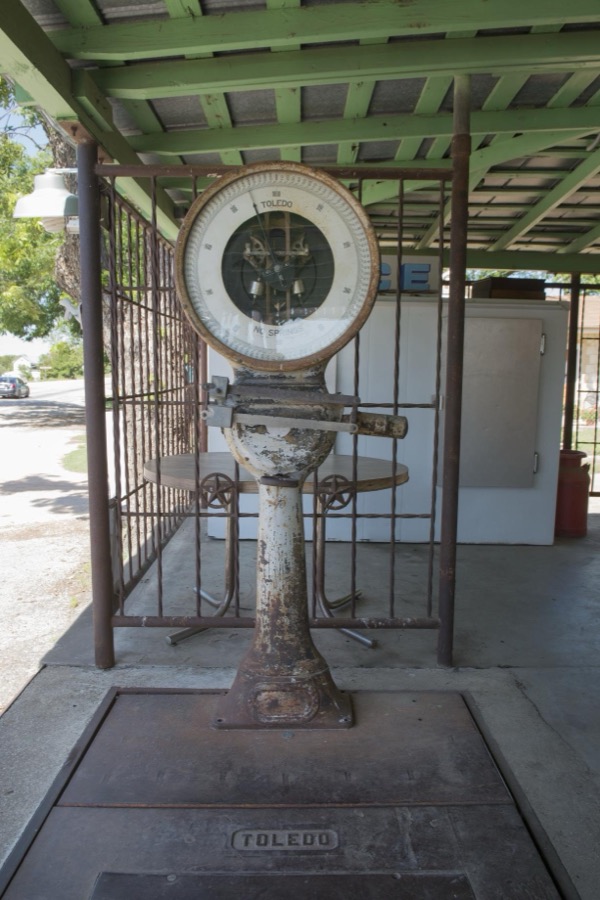



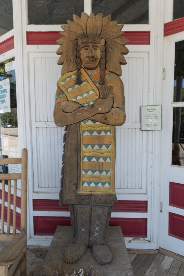

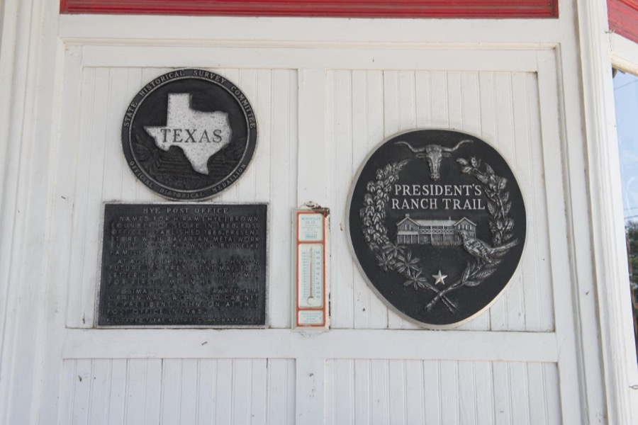
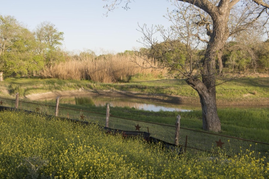
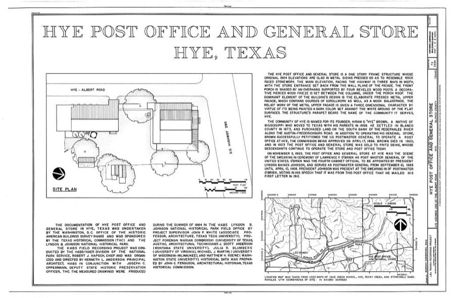
Every property in this county listed on the National Register of Historic Places, with the year it was listed and the federal nomination document.
| Photograph | Property | Type | Listed | Reference |
|---|---|---|---|---|
 | Blanco Historic District | district | 1991 | 91000890 |
 | Adrian Edwards Conn House | building | 1971 | 71000921 |
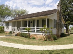 | Lyndon B. Johnson National Historical Park | district | 1969 | 69000202 |
| Round Mountain Stage-Coach Inn and Stable | building | 1978 | 78002896 |
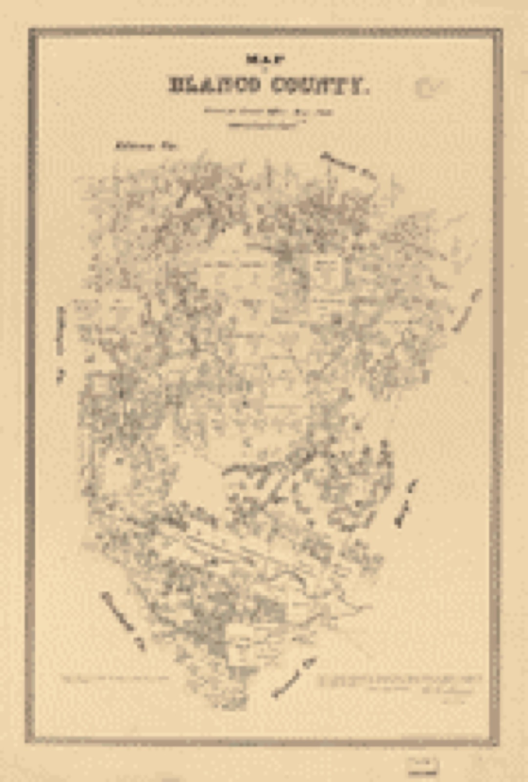
Drawn when these were printed as single large sheets: the town seen from the air, and the county divided into its farms with every owner named. Each opens the original at the Library of Congress.

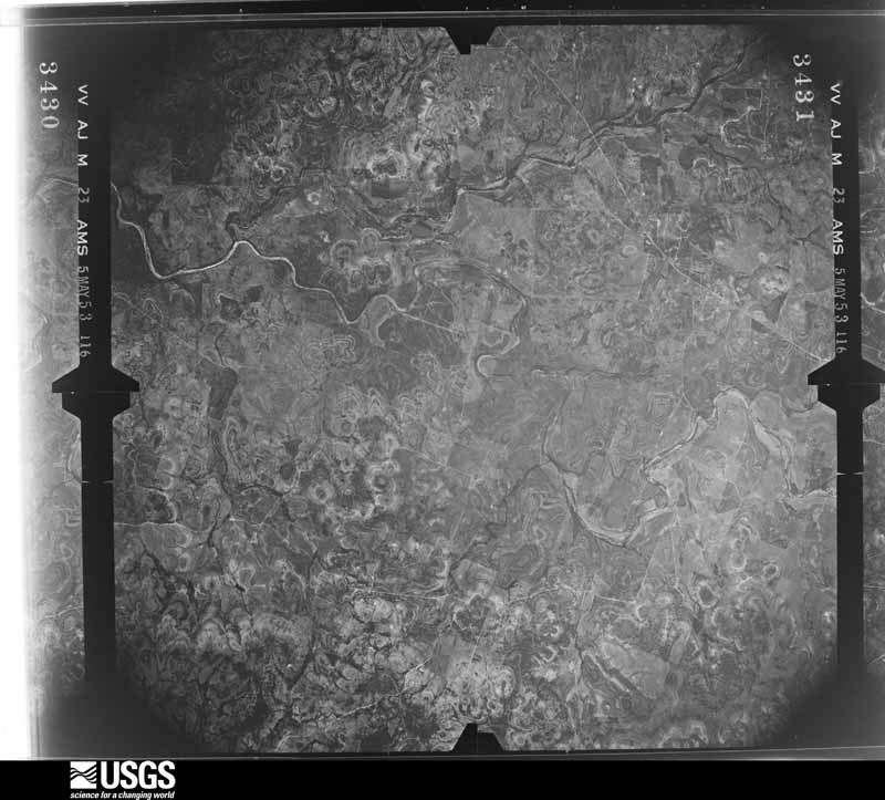
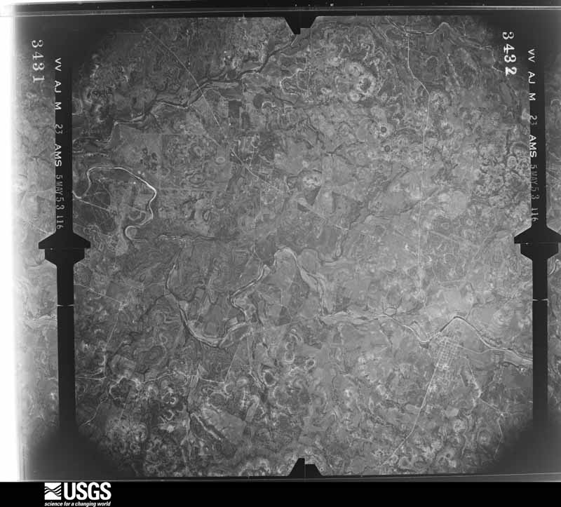
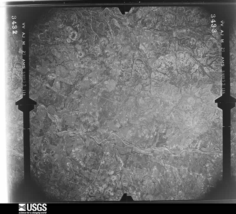
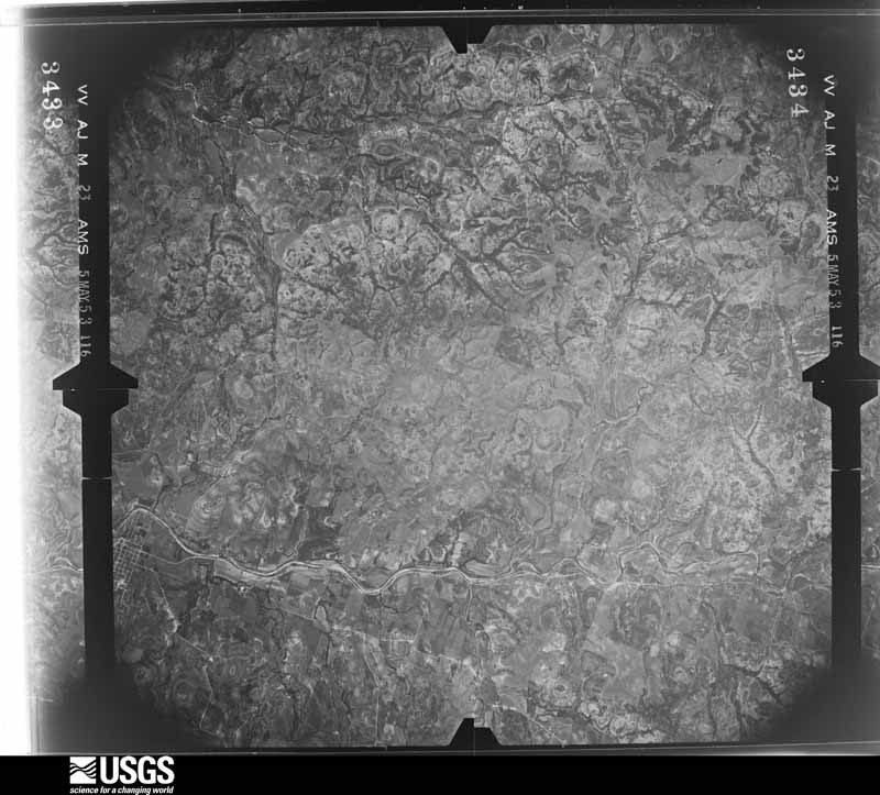
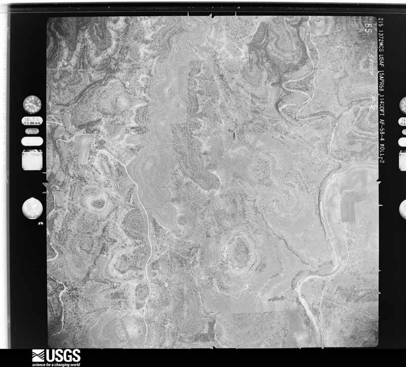
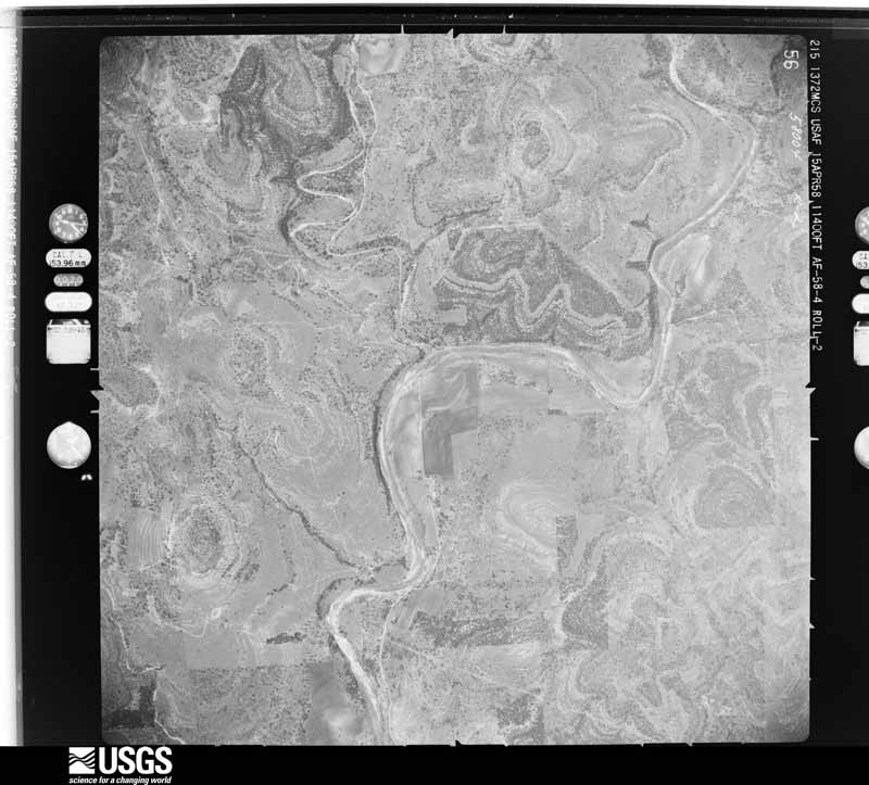
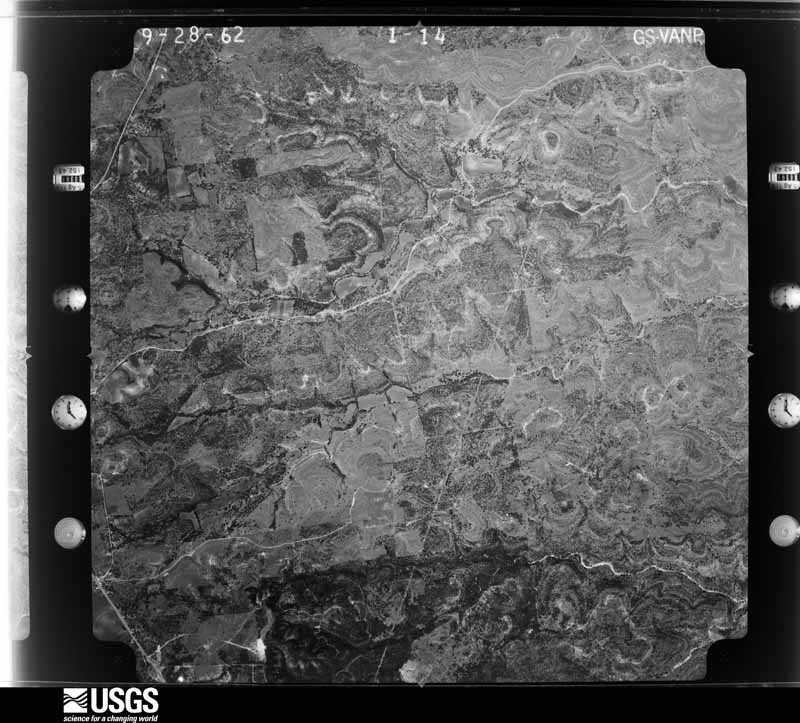
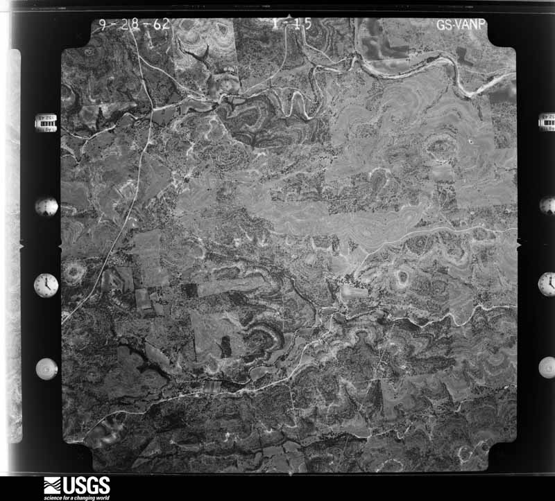
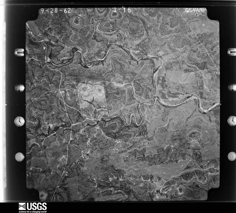
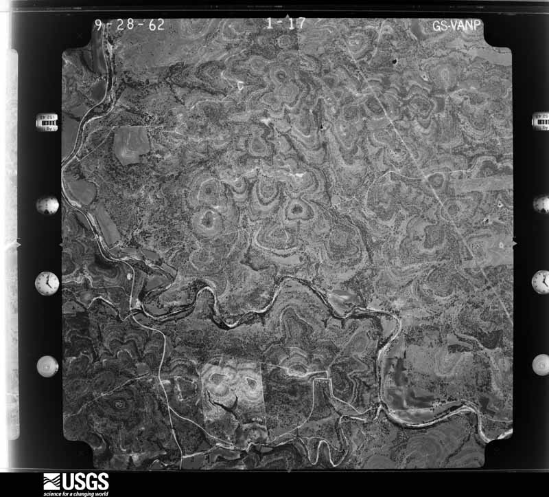
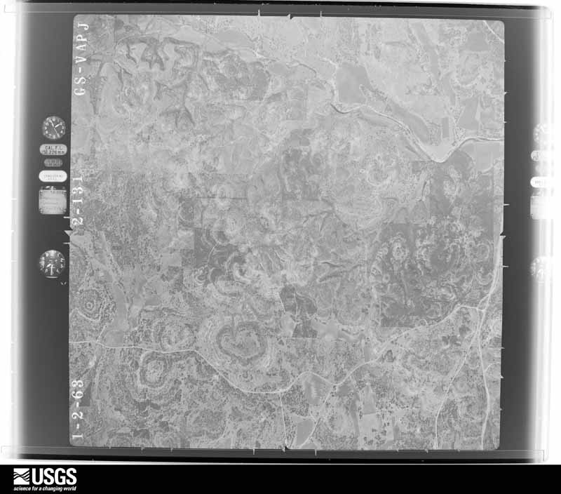
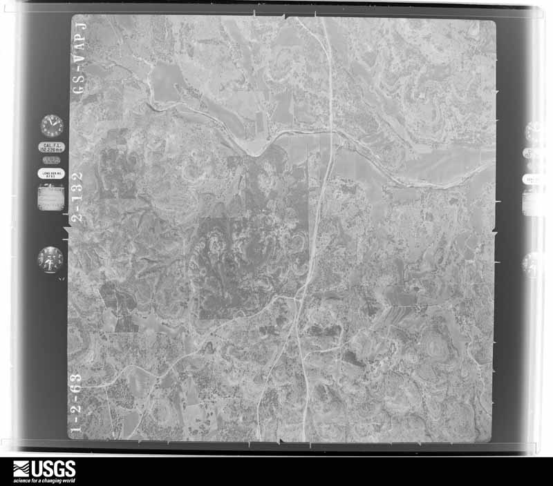
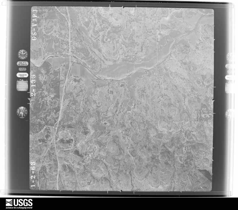
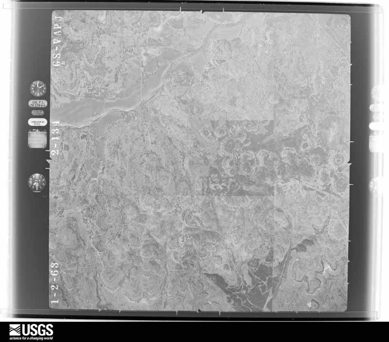
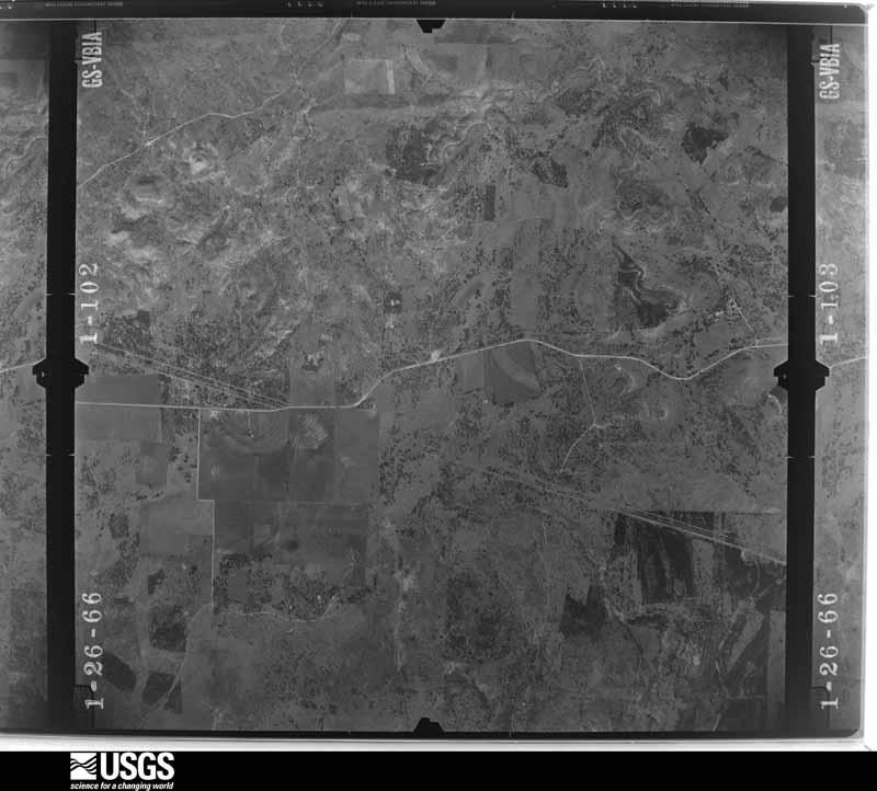
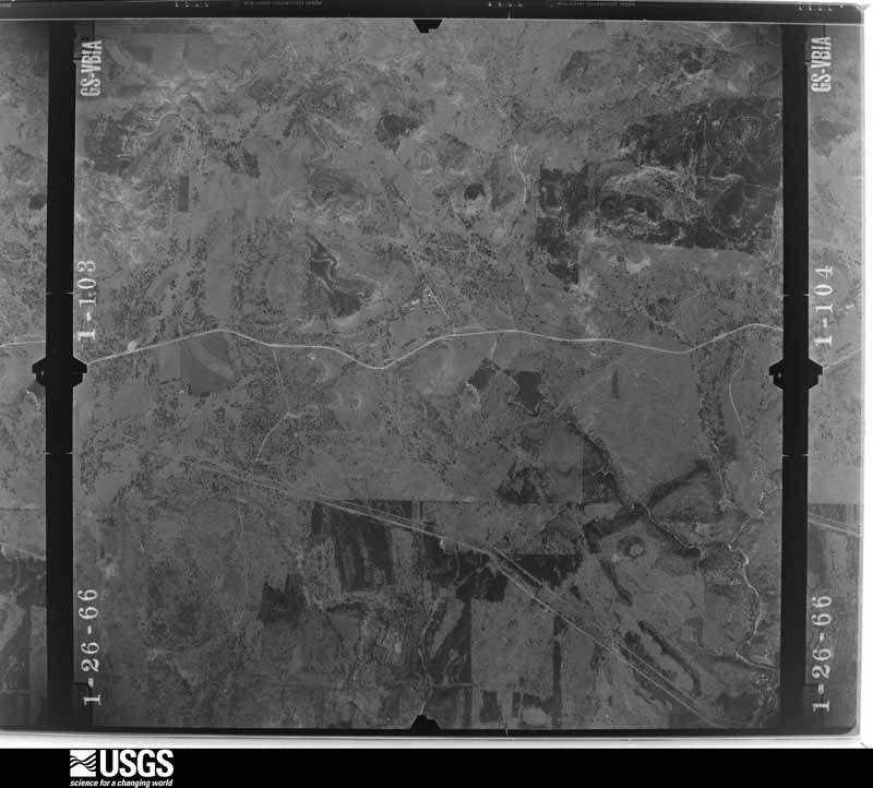
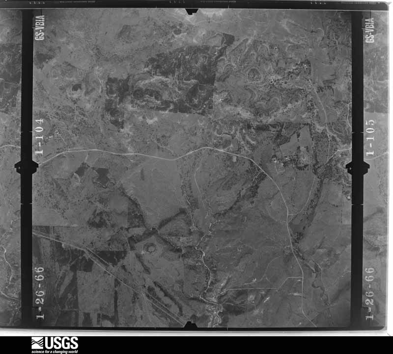
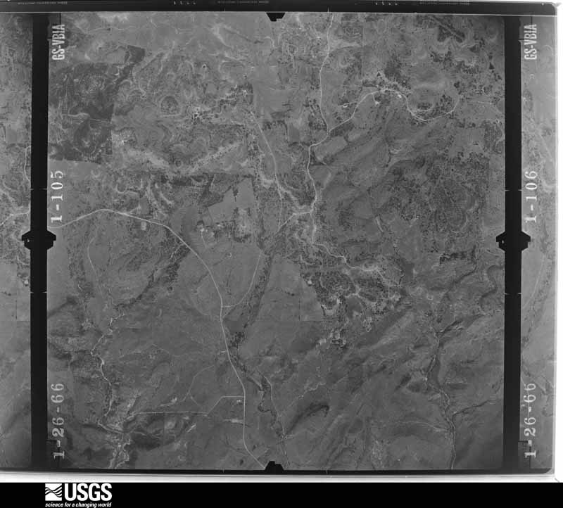
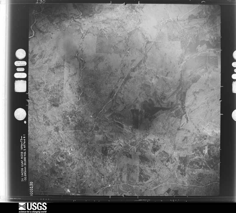
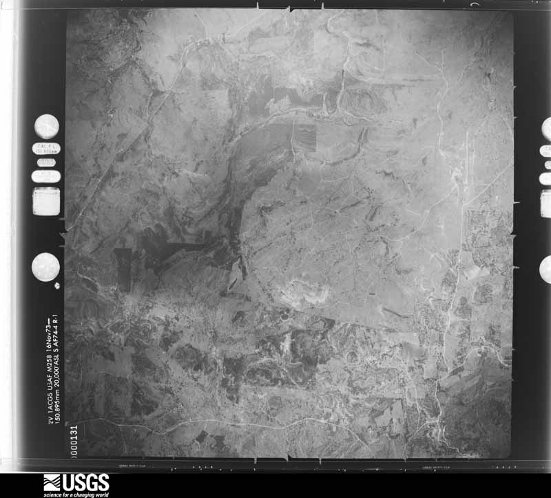
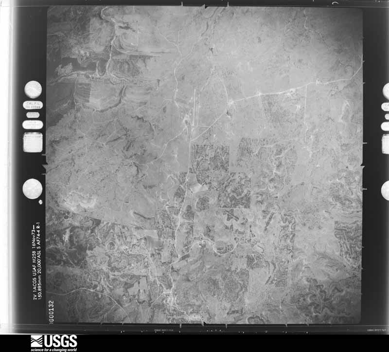
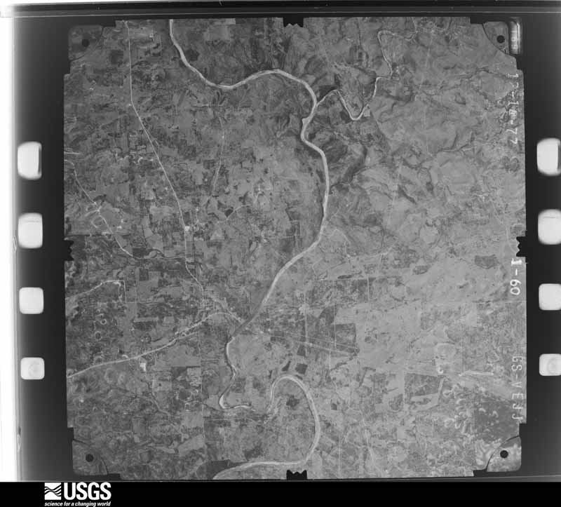
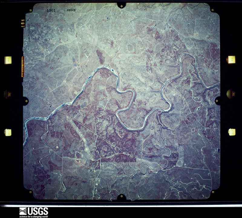
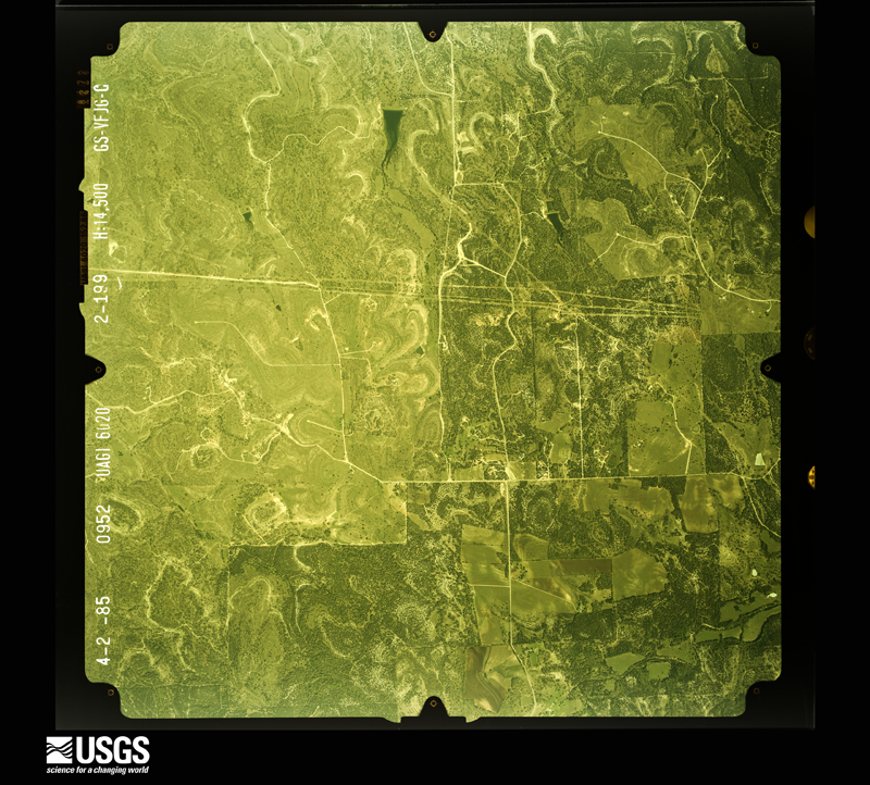
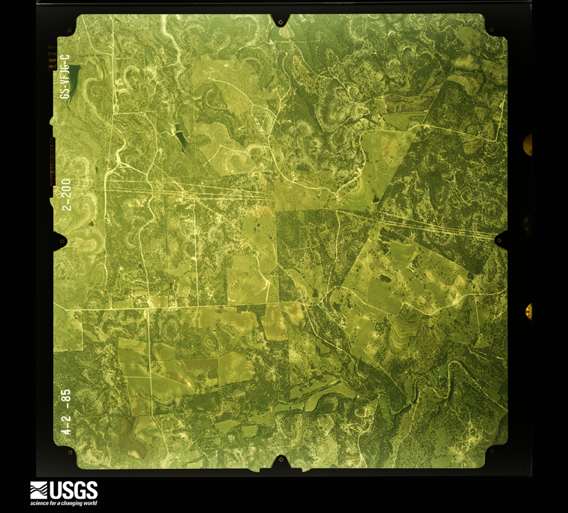
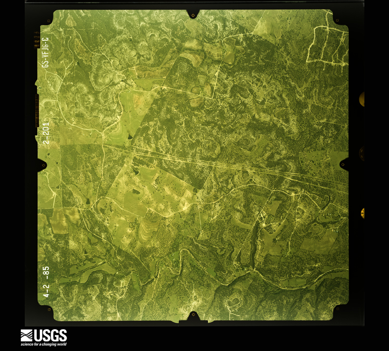
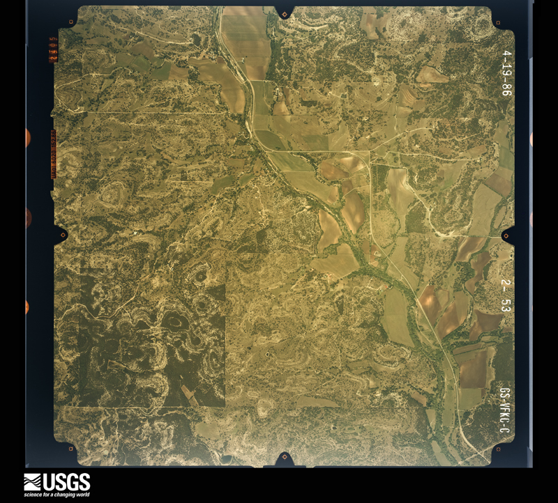
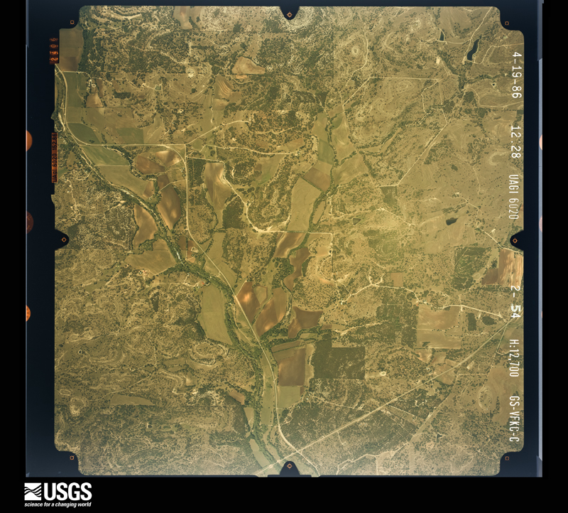
Flown by the U.S. Geological Survey between 1937 and 1989, the Aerial Photo Single Frames collection is the definitive mid-century view of the land: fields, roads and rivers as the camera saw them. The Survey holds 898 frames inside the rectangle that bounds this county; the 46 frames below were taken over the county itself, chosen across the decades of flights (at most four a year from that rectangle), so one flight cannot crowd out the rest. The full set is free to browse and download at EarthExplorer under the dataset Aerial Photo Single Frames.










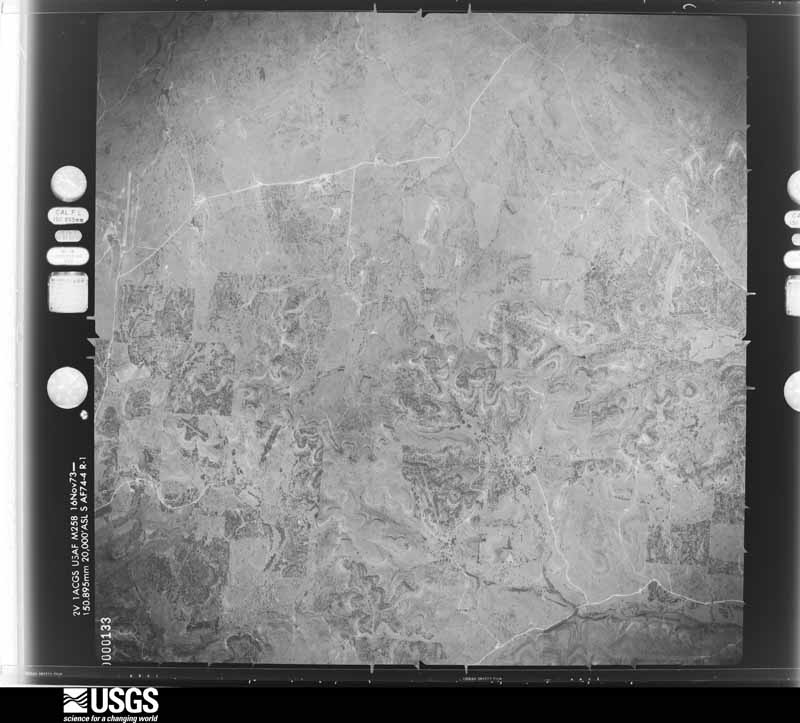
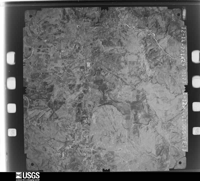
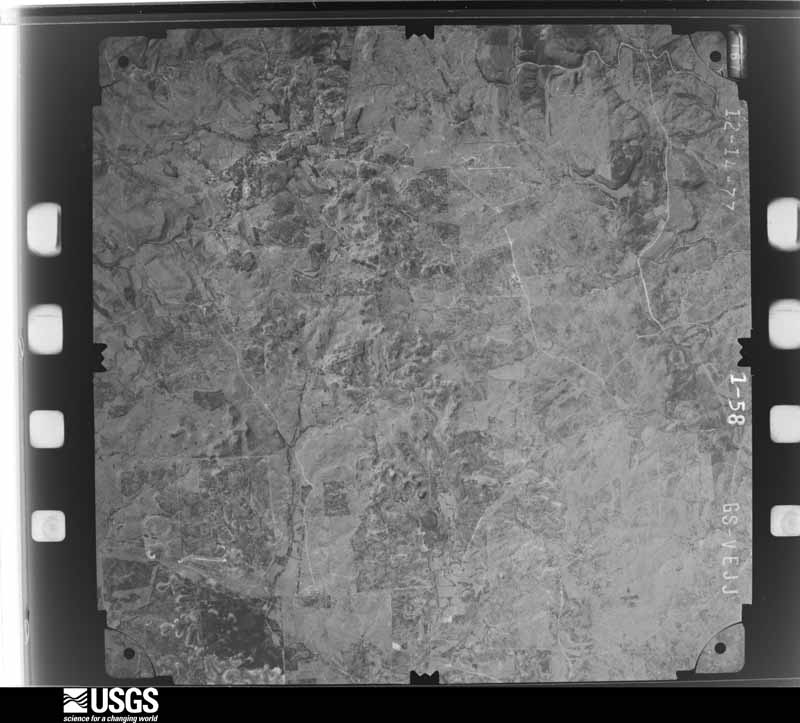
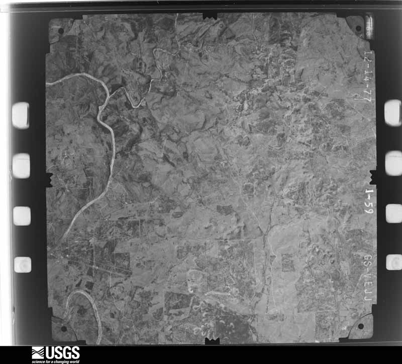




The thermometers that kept this county's weather, and the gages that measured the flow of its streams, as the federal records hold them. The extremes below are measured values from those records, not estimates.
Who lived here in 1950, one enumeration district at a time, as the Census Bureau described each district. Each row opens its official National Archives result, with Population Schedules and ED Maps available there.
Every wildfire the federal occurrence database records inside this county: 545 of them, burning about 15,772 acres. 8 started naturally and 10 were recorded as arson. Each settlement page carries the fires within five miles of it.
| Reported cause | Fires |
|---|---|
| Debris and open burning | 289 |
| Missing data/not specified/undetermined | 126 |
| Equipment and vehicle use | 79 |
| Power generation/transmission/distribution | 15 |
| Arson/incendiarism | 10 |
| Smoking | 9 |
| Natural | 8 |
| Recreation and ceremony | 7 |
| Misuse of fire by a minor | 2 |
The five largest, by the area the report gives. None of them was recorded as arson.
| Date | Cause | Size | Reported by | Name on the report |
|---|---|---|---|---|
| 22 July 2008 | Equipment and vehicle use | 1,035 acres | Texas A & M Forest Service | 3M RANCH FIRE |
| 17 February 2004 | Debris and open burning | 1,000 acres | Texas A & M Forest Service | HILL COUNTRY - 6 |
| 11 June 2008 | Equipment and vehicle use | 800 acres | Texas A & M Forest Service | not named |
| 12 June 2008 | Equipment and vehicle use | 800 acres | Texas A & M Forest Service | not named |
| 18 July 2018 | Missing data/not specified/undetermined | 700 acres | Texas A & M Forest Service | 18360 |
| 18 July 2018 | Missing data/not specified/undetermined | 680 acres | Balcones Canyon National Wildlife Refuge | SMITH WEST |
| 20 July 2008 | Equipment and vehicle use | 500 acres | Texas A & M Forest Service | MAENIUS |
| 4 March 2008 | Equipment and vehicle use | 489 acres | Texas A & M Forest Service | CYPRESS VALLEY RANCH |
Every settlement page carries the fires within five miles of it - see the settlement index below.
The NOAA Storm Events Database holds 249 reports for this county, causing 5 deaths, 14 injuries and about $58,603,500 in recorded property damage. Each settlement page carries the reports that name it.
| Kind of event | Reports |
|---|---|
| Hail | 124 |
| Flash Flood | 73 |
| Thunderstorm Wind | 31 |
| Tornado | 19 |
| Funnel Cloud | 1 |
| Flood | 1 |
The most serious of them, by death, then injury, then recorded damage. The accounts are quoted exactly as the forecast office filed them.
| When | Event | Place named | Harm | What the report says |
|---|---|---|---|---|
| November 2001 | Flash Flood | Countywide | 1 killed, 10 hurt, $100,000 | Rainfall redeveloped in the early morning hours over Blanco County, with amounts approaching 4 inches by 0500 CST and approaching 6 inches near 0700 CST. Heavy rainfall continued into the mid morning on the 15th, then began to diminish. By that time, general 5 to 6 inch rainfall was reported across the county, with isolated totals of up to 10 inches over much of the central part of the county and maximum amounts just over 12 inches near Twin Sisters. A 64-year old man was drowned when he tried to drive across a low water crossing over CR102. One other passenger in the vehicle was rescued when a passing motorist was able to throw him a rope. The victim was unable to hold onto the rope and was swept away. |
| May 2015 | Flash Flood | Blanco | 1 killed, $20,000,000 | Thunderstorms produced heavy rain that caused flash flooding closing FM 1623 along the Blanco River. A 42 year old man died in his vehicle along the Blanco River near downtown Blanco. Flooding along the Blanco River in the town of Blanco was substantial. Water came up to the bottom of the Highway 281 bridge in Blanco. Water overtopped the Loop 163 bridge east of Blanco. The Blanco River overtopped County Road 165 and destroyed that bridge. Portions of the Blanco State Park were heavily damaged with cabins flooded. There were a total of 22 homes either destroyed or heavily damaged. Monetary losses were unavailable at the time of this writing but estimated to be more than several million dollars with losses to homes/structures and road infrastructure. |
| May 2019 | Flash Flood | Blanco | 1 killed | Thunderstorms produced heavy rain that led to flash flooding. At approximately 8:07 PM local time, Blanco County Fire/EMS responded to a call about a vehicle that had been swept away due to flood waters on the Blanco River just east of the City of Blanco. One passenger was found downstream 800 yards of where the vehicle went into the water. She was rescued successfully but a second passenger, a 74 year old woman, was found deceased about 60 yards from the vehicle at approximately 10:56 PM. |
| May 2015 | Flash Flood | Twin Sisters | 1 killed | Thunderstorms produced heavy rain that caused flash flooding of the Little Blanco River. An 81 year old man was swept away near FM 473 at FM 32 and died. His body was found on May 28th near the Blanco/Hays County line. He escaped his car but was not able to survive the flood waters. |
| May 2007 | Flash Flood | Johnson City | 1 killed | Rainfall between Johnson City and Twin Sisters averaged from 1 to 2 inches in showers and thunderstorms, with up to 5 inches falling near Johnson City. Many of the rural roads, including FM2766, FM165, and FM32, were closed due to flash flooding. As a father and his two daughters, aged 6 and 7, attempted to drive through a low water crossing on the Blanco River just after 0500 CST on County Road 407, his pickup truck was caught in high water. He tried to back out of the water, but the current carried the vehicle across the bridge where it flipped over, landed upside down and was immediately submerged. The father grabbed onto both daughters and attempted to swim to safety, but lost his grip on the younger daughter. The father and his older daughter were able to swim to safety but the younger daughter drowned. |
| April 2020 | Tornado (EF1) | Round Mtn | 2 hurt, $1,000,000 | A small tornado touched down near Round Mountain in northern Blanco County. It first appeared to touch down near RR 962 then moved northeast by Coyote Trail before impacting two RV parks on Hwy 281 and Hof Brau. Estimates from Blanco County Emergency Management show that a total of approximately 60 residences were impacted with at least 11 being completely destroyed and eight more sustaining major damage. There were two minor injuries. The tornado continued moving northeast and crossed the Blanco/Burnet County line near Creek Ln. and then dissipated in southern Burnet County near CR 401 S. |
| May 1969 | Tornado (F3) | not stated | 2 hurt, $25,000 | no account filed |
| August 1980 | Tornado (F2) | not stated | $25,000,000 | no account filed |
| May 2024 | Hail | Johnson City | $10,000,000 | A thunderstorm produced 6.12 inch diameter hail in Johnson City. This measurement was estimated using a photo of the hailstone with a measuring tape and then adjusting using machine size estimate work from the IBHS (Insurance Institute for Business and Home Safety). As of this writing there is no official estimate of property damages from either private insurance (cars, roofs, etc) or from county/city property such as county owned schools, county-city vehicles, etc. Am putting an estimate of 10 million dollars as a starting point guesstimate. Will update at a later time if data allows for a more accurate damage estimate. |
| June 1997 | Flash Flood | Countywide | $1,000,000 | no account filed |
| May 1976 | Tornado (F1) | not stated | $250,000 | no account filed |
| June 2007 | Thunderstorm Wind | Blanco | $200,000 | Winds from severe thunderstorms blew down trees down and damaged power lines between Blanco and Johnson City. Power was out to both cities for several hours. The storms also caused damage to roofs in Johnson City, with considerable damage to the roof of the Blanco County Jail. |
| April 2006 | Tornado (F1) | Johnson City | $150,000 | A second tornado touched down west of Johnson City very close to the time of the first tornado. This tornado was on the ground for three-quarters of a mile and destroyed 3 barns as it moved east. |
| June 2007 | Flash Flood | Cypress Mill | $100,000 | Two lines of thunderstorms, one moving south from the Dallas area and one moving southeast from the Abilene area, intersected and stalled near Marble Falls, producing rainfall of 8 to 10 inches in extreme northern Blanco County with up to 14 inches near Round Mountain. Flash flooding developed in the early morning hours and continued into mid morning, resulting in the closing of most roads in northern Blanco County. Among the major roads closed due to high water were FM962 and US281. |
| August 2007 | Flash Flood | Twin Sisters | $100,000 | The extremely heavy rainfall associated with the remains of Tropical Storm Erin moved into Blanco County in the late afternoon, producing a general 3 to 5 inch total over the southwestern part of the county. Highest rain amounts were 6 inches between Blanco and Twin Sisters. All roads from Blanco southward were reported to be closed due to high water. |
| June 1997 | Flash Flood | Countywide | $100,000 | no account filed |
| April 2006 | Tornado (F1) | Hye | $50,000 | A small tornado was spotted by the public as it touched down east of Hye. The tornado destroyed a barn, then lifted back up into the parent thunderstorm. No other damage was indicated. |
| July 2003 | Thunderstorm Wind | Johnson City | $50,000 | As a cold front tracked southward into the Texas Hill Country near noon on July 23, a line of thunderstorms that had formed along the front moved toward the south and southwest. As the line moved into southern Blanco County, it produced a downburst estimated at 60 knots that blew down hundreds of trees. No other damage was indicated. |
| February 1998 | Thunderstorm Wind | Round Mtn | $50,000 | Severe winds from a thunderstorm blew down trees in and around Round Mountain. |
| October 1998 | Flash Flood | Countywide | $50,000 | no account filed |
| June 2002 | Flash Flood | Countywide | $30,000 | General 3 to 4 inch rainfall totals with isolated amounts of up to 9 inches. |
| March 1999 | Thunderstorm Wind | Blanco | $30,000 | Severe thunderstorm winds blew down trees and took the roof off a building. |
| April 1998 | Thunderstorm Wind | Countywide | $30,000 | no account filed |
| May 1996 | Thunderstorm Wind | Lbj National Park Hq | $30,000 | no account filed |
| May 1976 | Tornado (F1) | not stated | $25,000 | no account filed |
| May 1969 | Tornado (F3) | not stated | $25,000 | no account filed |
| March 2000 | Thunderstorm Wind | Twin Sisters | $20,000 | Trees were reported blown down by severe thunderstorm winds. |
| August 2001 | Flash Flood | South Portion | $20,000 | no account filed |
| September 2001 | Flash Flood | Countywide | $20,000 | no account filed |
| March 1998 | Flash Flood | Countywide | $15,000 | no account filed |
| May 2018 | Thunderstorm Wind | Blanco | $10,000 | A thunderstorm produced wind gusts estimated at 90 mph that tore part of the roof off a house north of Blanco. |
| November 2000 | Flash Flood | South Portion | $10,000 | no account filed |
| July 1998 | Flash Flood | Countywide | $10,000 | no account filed |
| May 1997 | Flash Flood | Countywide | $10,000 | no account filed |
| June 1997 | Flash Flood | Countywide | $10,000 | no account filed |
| May 1997 | Flash Flood | Countywide | $10,000 | no account filed |
| April 2017 | Thunderstorm Wind | Twin Sisters | $5,000 | A thunderstorm produced wind gusts estimated at 75 mph that blew down trees near Hwy 281 and FM 473 in southern Blanco County. |
| February 2003 | Flash Flood | Countywide | $5,000 | Flash flooding began in the mid morning and continued into the afternoon as general 1 to 2 inch rainfall was indicated across the county. The flash flooding was made worse by the saturated soils across the county. |
| February 2003 | Flash Flood | Countywide | $5,000 | Flash flooding developed in the early morning hours over most county low water crossings as a result of general 1 to 2 inch rainfall. Isolated totals to near 3 inches were reported. The flash flooding was more severe than usual due to the very saturated nature of county soils. |
| June 2003 | Flash Flood | South Portion | $5,000 | The line of showers and thunderstorms moved into Blanco County in the late afternoon, producing general rain amounts of 1 to 2 inches over the south part of the county. Highest totals were near the community of Twin Sisters, south of Blanco, where between 3 and 4 inches was reported. Flash flooding was reported on FM473 between Twin Sisters and Kendalia, in Kendall County, through the early evening. |
| October 1993 | Hail | Blanco | $5,000 | Hail up to golf ball-size hit Round Mountain for the second time that night. Golf ball-size hail was also reported in the City of Blanco. At 4:55 local time golf ball-size hail was reported in Blanco again. Several windows were broken out this time and several trees were damaged. High winds uprooted some trees. |
| November 2000 | Flash Flood | North Portion | $5,000 | no account filed |
| June 1997 | Flash Flood | Countywide | $5,000 | no account filed |
| May 1997 | Thunderstorm Wind | Countywide | $5,000 | no account filed |
| March 1994 | Hail | Johnson City | $5,000 | no account filed |
| March 1994 | Hail | Blanco | $5,000 | no account filed |
| May 1994 | Hail | Round Mountain | $5,000 | no account filed |
| November 2001 | Tornado (F0) | Blanco | $3,000 | A tornado, rated F0, moved from 10 miles northeast of Blanco to 13 miles northeast of Blanco. It was spotted in open country and damage was limited to trees knocked over by the tornado. |
| June 1997 | Flash Flood | Countywide | $3,000 | Additional heavy rain of up to 2 inches in 2 hours falling over the county redeveloped flash flooding. |
| April 1997 | Flash Flood | Countywide | $3,000 | Flash flooding was reported over much of the county due to general 3 inch rainfall. |
| July 1998 | Flash Flood | West Portion | $3,000 | no account filed |
| August 1972 | Tornado (F0) | not stated | $2,500 | no account filed |
| June 2023 | Thunderstorm Wind | Hye | $2,000 | A thunderstorm produced wind gusts of 60 mph that knocked down small tree limbs near Hye. |
| June 2023 | Thunderstorm Wind | Twin Sisters | $2,000 | A thunderstorm produced wind gusts estimated at 60 mph that knocked down small tree limbs near Twin Sisters. |
| May 2025 | Hail | Hye | - | A thunderstorm produced baseball size hail near Hye. |
| October 2025 | Tornado (EFU) | Twin Sisters | - | A tornado touched down in Kendall County approximately four miles southwest of Kendalia traveled 9.8 miles to the east crossed into Blanco County approximately a quarter of a mile west-northwest of the intersection of Hwy 281 and FM 306 continued east a quarter of a mile to the Comal County line a tenth of mile northwest of the Hwy 281/FM 306 intersection and continued another 10.2 miles east before dissipating after crossing FM 306 near Hancock Rd. No damage was found over its short path through Blanco County. Damage ratings were EF-0 in Kendall County and EF-1 in Comal. The path width was 300 yards. |
| March 2024 | Hail | Johnson City | - | A thunderstorm produced nickel to penny size hail just west of Johnson City. |
| May 2024 | Flash Flood | Johnson City | - | Thunderstorms produced heavy rain that led to flash flooding closing Miller Creek Loop Rd. south of Johnson City. |
| May 2024 | Hail | Johnson City | - | A thunderstorm produced ping pong size hail in Johnson City. |
| May 2024 | Hail | Johnson City | - | A thunderstorm produced golf ball size hail in Johnson City. |
The Survey's mineral resources record lists 5 workings inside this county. 1 still produces and 4 are closed or unrecorded. Each settlement page carries the workings within five miles of it.
| Commodity | Workings |
|---|---|
| Lead, Zinc | 1 |
| Stone | 1 |
| Talc-Soapstone | 1 |
| Stone, Crushed/Broken | 1 |
| Phosphorus-Phosphates | 1 |
The least common of them first, because a county's hundredth gravel pit says nothing its first ten did not.
| Where | Site | Commodity | Status | Recorded |
|---|---|---|---|---|
| Blowout Cave Mine | Phosphorus-Phosphates | Producer | ||
| Comanche Creek Area | Talc-Soapstone | Past Producer | Metamorphic | |
| Dolostone Quarry | Stone, Crushed/Broken | Past Producer | ||
| Limestone Quarry | Stone | Past Producer | Limestone | |
| Scott Klett Prospect | Lead, Zinc | Occurrence | Stratabound |
Named settlements recorded in the Geographic Names Information System, each with the topographic sheets covering it. Villages, hamlets and abandoned places alike. Each is shown with the nearest named watercourse or landform and the survey quadrangle it falls on.
Johnson City census division · 78636 · Near Indian Peak · Blowout quadrangle
11 sheets, 1894 to 1985
Johnson City census division · 78663 · On Cleveland Branch · Round Mountain quadrangle
14 sheets, 1887 to 1985
Blanco census division · 78606 · On Crabapple Creek · Crabapple Creek quadrangle
12 sheets, 1894 to 1985
Johnson City census division · 78636 · On Williams Creek · Hye quadrangle
13 sheets, 1894 to 1985
Johnson City census division · 78636 · On Flat Creek · Johnson City quadrangle
15 sheets, 1887 to 1985
Johnson City census division · 78636 · On Post Oak Creek · Rocky Creek quadrangle
12 sheets, 1894 to 1985
Johnson City census division · 78663 · On North Cypress Creek · Round Mountain quadrangle
14 sheets, 1887 to 1985
Blanco census division · 78606 · On Rochou Creek · Blanco quadrangle
13 sheets, 1887 to 1985
Johnson City census division · 78636 · On Post Oak Creek · Rocky Creek quadrangle
12 sheets, 1894 to 1985
No longer a settlement
The vanished settlements of Blanco County: the places named above that are no longer on the map.
The complete index, with nothing left out. Each of these is a separate record with its own page: a federal survey report, or the case file that argued a property on to the National Register. Both are public domain and reproduced word for word.
The vanished settlements of Blanco County, the places these records name that are no longer on the map.