 Block
BlockJohnson City, Texas
15 topographic sheets cover this place, the earliest surveyed in 1887 and the latest in 1985. It stands in the Johnson City census division. It lies in ZIP code area 78636. It stands on Flat Creek. The Survey maps it on the Johnson City quadrangle. 1,627 people lived here at the 2020 count. It stands 1,198 feet above sea level.
Research this city
On record in Johnson City
Buildings and businesses the archive holds for this place. Each opens its own page, with the source record it came from.
On the National Register 1 record
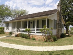 Lyndon B. Johnson National Historical Parklisted 1969
Population over time
2 figuresJohnson City fell from 1,656 to 1,627 between 2010 and 2020. These are the recorded population figures Wikidata holds for this place, reached through the Geographic Names Information System number this page is keyed on rather than by name, so they belong to this place and not to another of the same name. Most are census counts, but not all are: an early figure may be a founding or settlement estimate, and an estimate published within five years of a census is left out. The change column is computed, and is left blank where more than 20 years separate a figure from the one before it, because a gap that long is not a change between two counts.
| Year | People | Change |
|---|---|---|
| 2010 | 1,656 | |
| 2020 | 1,627 | -29 (-2%) |
Topographic sheets covering this place
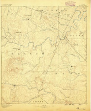
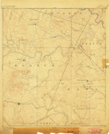
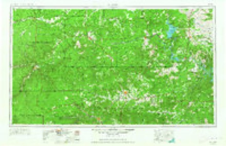
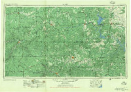
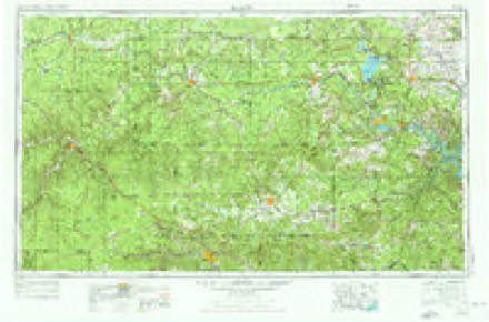
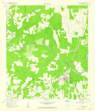
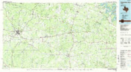
7 surveys from 15 printed sheetsMatched by testing this settlement's coordinate against the published boundary of every sheet in the United States Geological Survey's historical collection. Each opens the scanned sheet at the Survey.
- 1887 USGS Blanco quadrangle1:125000
- 1894 USGS Blanco quadrangle1:125000, 5 printings
- 1954 USGS Llano quadrangle1:250000, 2 printings
- 1955 USGS Llano quadrangle1:250000
- 1956 USGS Llano quadrangle1:250000
- 1961 USGS Johnson City quadrangle1:24000, 3 printings
- 1985 USGS Pedernales River quadrangle1:100000, 2 printings
Photographs
6 photographs, 2014Taken for the Office of War Information and the Farm Security Administration, who photographed the country between 1935 and 1944. Works of United States government photographers, with no known restriction on use. Each opens its catalogue record.
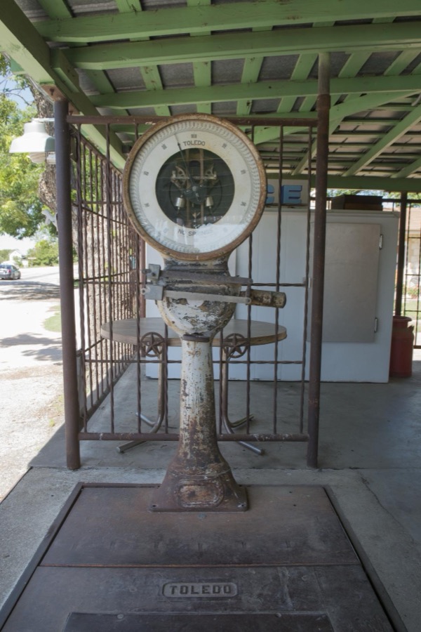
Highsmith, Carol M, 2014. Library of Congress
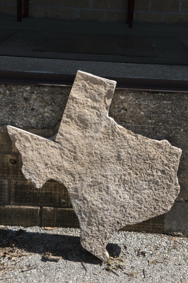
Highsmith, Carol M, 2014. Library of Congress
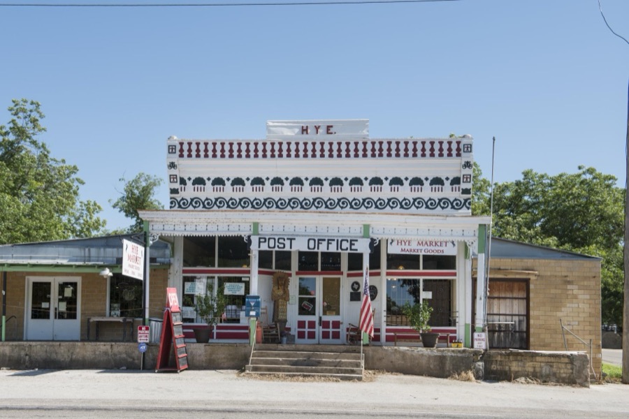
Highsmith, Carol M, 2014. Library of Congress
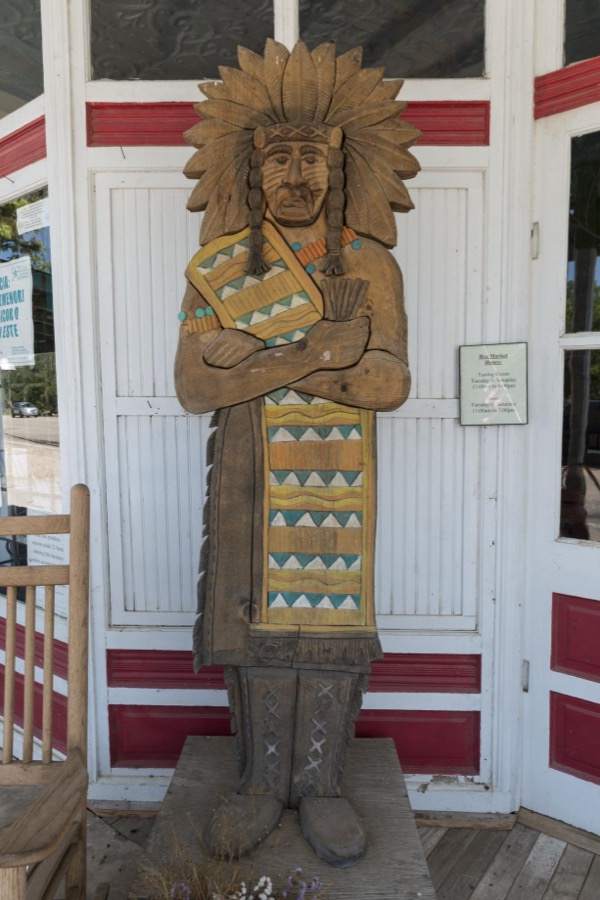
Highsmith, Carol M, 2014. Library of Congress

Highsmith, Carol M, 2014. Library of Congress
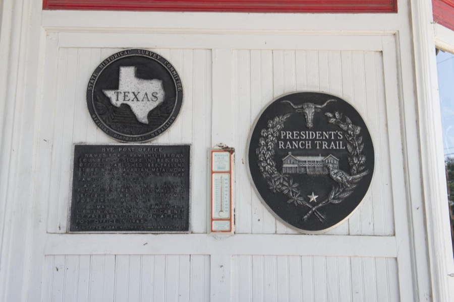
Highsmith, Carol M, 2014. Library of Congress
Fires near this place
61 since 1992Regional context, not property-specific evidence. The federal wildfire occurrence database lists 61 fires within 5 miles of Johnson City between 1992 and 2020, burning about 3,179 acres in total. 2 started naturally. 3 were recorded as arson. Distance is straight-line from the map coordinates, so a fire counted here may appear on a neighbouring settlement's page as well.
| Reported cause | Fires |
|---|---|
| Debris and open burning | 27 |
| Missing data/not specified/undetermined | 18 |
| Equipment and vehicle use | 7 |
| Arson/incendiarism | 3 |
| Natural | 2 |
| Recreation and ceremony | 2 |
| Power generation/transmission/distribution | 1 |
| Smoking | 1 |
The most recent of them, most recent first, with the day each was reported and the service that recorded it.
| Date | Cause | Size | Reported by | Name on the report |
|---|---|---|---|---|
| 30 September 2008 | Debris and open burning | 200 acres | Texas A & M Forest Service | not named |
| 19 September 2006 | Debris and open burning | 90 acres | Texas A & M Forest Service | TOWHEAD FIRE |
| 15 September 2015 | Debris and open burning | under an acre | Texas A & M Forest Service | TRAILS END JC AID |
| 14 September 2019 | Debris and open burning | 56 acres | Texas A & M Forest Service | LEVEL CREEK |
| 14 September 2019 | Missing data/not specified/undetermined | 5.0 acres | Texas A & M Forest Service | LAKE ON FLAT CREEK |
| 1 September 1994 | Missing data/not specified/undetermined | 1.0 acres | Lyndon B. Johnson National Historic Park | CHICKEN |
| 8 August 1993 | Missing data/not specified/undetermined | 50 acres | Lyndon B. Johnson National Historic Park | OXX FIBE |
| 5 August 2015 | Missing data/not specified/undetermined | 33 acres | Texas A & M Forest Service | RIVER RUN FIRE |
Settlements close enough to share some of these fires:
Mines and quarries near this place
1 within 5 milesRegional context, not property-specific evidence. The federal mineral resources record lists 1 working within 5 miles of Johnson City: 1 occurrence. None of them still produces. What was taken out: Lead, Zinc. Distance is straight-line from the map coordinates, so a quarry counted here may appear on a neighbouring settlement's page as well.
| Where | Site | Commodity | Status | Recorded |
|---|---|---|---|---|
| Scott Klett Prospect | Lead, Zinc | Occurrence | Stratabound |
Storms near this place
47 since 1993Regional context, not property-specific evidence. The National Weather Service names Johnson City in 47 storm reports between 1993 and 2024: 30 hail, 10 flash flood, 3 thunderstorm wind, 3 tornado. The reports record 1 death. Each account below is quoted exactly as the forecast office filed it, from the NOAA Storm Events Database, and each date opens the federal record of that event.
| When | Event | Place named | Harm | What the report says |
|---|---|---|---|---|
| May 2007 | Flash Flood | Johnson City | 1 killed | Rainfall between Johnson City and Twin Sisters averaged from 1 to 2 inches in showers and thunderstorms, with up to 5 inches falling near Johnson City. Many of the rural roads, including FM2766, FM165, and FM32, were closed due to flash flooding. As a father and his two daughters, aged 6 and 7, attempted to drive through a low water crossing on the Blanco River just after 0500 CST on County Road 407, his pickup truck was caught in high water. He tried to back out of the water, but the current carried the vehicle across the bridge where it flipped over, landed upside down and was immediately submerged. The father grabbed onto both daughters and attempted to swim to safety, but lost his grip on the younger daughter. The father and his older daughter were able to swim to safety but the younger daughter drowned. |
| May 2024 | Hail | Johnson City | $10,000,000 | A thunderstorm produced 6.12 inch diameter hail in Johnson City. This measurement was estimated using a photo of the hailstone with a measuring tape and then adjusting using machine size estimate work from the IBHS (Insurance Institute for Business and Home Safety). As of this writing there is no official estimate of property damages from either private insurance (cars, roofs, etc) or from county/city property such as county owned schools, county-city vehicles, etc. Am putting an estimate of 10 million dollars as a starting point guesstimate. Will update at a later time if data allows for a more accurate damage estimate. |
| April 2006 | Tornado (F1) | Johnson City | $150,000 | A second tornado touched down west of Johnson City very close to the time of the first tornado. This tornado was on the ground for three-quarters of a mile and destroyed 3 barns as it moved east. |
| July 2003 | Thunderstorm Wind | Johnson City | $50,000 | As a cold front tracked southward into the Texas Hill Country near noon on July 23, a line of thunderstorms that had formed along the front moved toward the south and southwest. As the line moved into southern Blanco County, it produced a downburst estimated at 60 knots that blew down hundreds of trees. No other damage was indicated. |
| March 1994 | Hail | Johnson City | $5,000 | no account filed |
| March 2024 | Hail | Johnson City | - | A thunderstorm produced nickel to penny size hail just west of Johnson City. |
| May 2024 | Flash Flood | Johnson City | - | Thunderstorms produced heavy rain that led to flash flooding closing Miller Creek Loop Rd. south of Johnson City. |
| May 2024 | Hail | Johnson City | - | A thunderstorm produced ping pong size hail in Johnson City. |
| May 2024 | Hail | Johnson City | - | A thunderstorm produced golf ball size hail in Johnson City. |
| May 2024 | Hail | Johnson City | - | A thunderstorm produced golf ball size hail in Johnson City. |
| May 2024 | Hail | Johnson City | - | A thunderstorm produced softball size hail southeast of Johnson City. |
| May 2024 | Hail | Johnson City | - | A thunderstorm produced five inch diameter size hail in Johnson City. |
| May 2024 | Hail | Johnson City | - | A thunderstorm produced half dollar size hail north of Johnson City. |
| April 2024 | Hail | Johnson City | - | A thunderstorm produced hen egg size hail in Johnson City. One of our media partners shared a picture of the hail compared to an egg. |
| April 2024 | Hail | Johnson City | - | A thunderstorm produced quarter to ping pong ball size hail just north of Johnson City. |
| April 2024 | Hail | Johnson City | - | A thunderstorm produced quarter size hail in Johnson City. |
| April 2024 | Hail | Johnson City | - | A thunderstorm produced half dollar size hail north of Johnson City. |
| March 2023 | Hail | Johnson City | - | A thunderstorm produced quarter size hail north of Johnson City. |
| May 2022 | Hail | Johnson City | - | A thunderstorm produced two inch diameter hail near Hwy 290 just east of Hye. |
| May 2022 | Hail | Johnson City | - | A thunderstorm produced one inch diameter hail in Johnson City. |
| May 2022 | Hail | Johnson City | - | A thunderstorm produced two inch diameter hail near Johnson City. |
| July 2017 | Thunderstorm Wind | Johnson City | - | A thunderstorm produced wind gusts estimated at 70 mph that damaged a barn and fence in Johnson City. |
| June 2016 | Flash Flood | Johnson City | - | Thunderstorms produced heavy rain that caused flash flooding along the Pedernales River closing FM 2766 from Johnson City to Pedernales Falls State Park. |
| May 2016 | Flash Flood | Johnson City | - | Thunderstorms produced heavy rain that caused flash flooding closing low water crossings on FM2766 east of Johnson City. |
| May 2015 | Flash Flood | Johnson City | - | Thunderstorms produced heavy rain that caused flash flooding closing multiple low water crossings in Johnson City. |
| October 2015 | Flash Flood | Johnson City | - | Thunderstorms produced heavy rain that caused flash flooding when Deer Creek overflowed across RR 2766 east of Johnson City. |
| April 2014 | Hail | Johnson City | - | A thunderstorm produced nickel to penny size hail. |
| April 2009 | Flash Flood | Johnson City | - | Pecan and Ash Streets in Johnson City were closed due to flooding. |
| July 2007 | Flash Flood | Johnson City | - | Thunderstorms produced a general 2 to 3 inch rain over much of Llano, Burnet, Blanco and Williamson Counties, with up to 4 inches near Johnson City. FM2766 and US281 were closed north of Johnson City. |
| January 2007 | Flash Flood | Johnson City | - | Showers and thunderstorms accompanying the cold front produced between 2 and 3 inches of rain in the area between Johnson City and Twin Sisters, with up to 4 inches in the Twin Sisters area. FM473 was closed in the early afternoon due to flash flooding. Fm2766 was also reported closed near Johnson City. |
| May 2007 | Flood | Johnson City | - | The Pedernales River at Johnson City crested at 20.36 ft at 1315 CST on May 25, where flood stage is 14 ft. |
| July 2005 | Thunderstorm Wind | Johnson City | - | Thunderstorms forming along the northern Texas Hill Country in the late afternoon moved southward into the evening hours. The storms blew down trees and power lines just north of Johnson City. |
| November 2004 | Tornado (F0) | Johnson City | - | The tornado was reported to the Blanco County Sheriffs Office near the intersection of US290E and US281, just south of Johnson City. This tornado was observed by a deputy as it tracked toward the northeast. It was estimated to be 200 yards wide and continued along its path for nearly 7 miles. It struck a home on the southwest edge of Johnson City causing minor roof damage. The tornado lifted and disappeared near 2035CST. It was rated an F0 on the Fujita Scale. |
| November 2004 | Flash Flood | Johnson City | - | Showers and thunderstorms through the late evening produced general 1 inch totals across the central part of Blanco County. Highest amounts approached 3 inches between Johnson City and Blanco. Numerous rural roads were closed due to flash flooding, including FM2766 and FM165. |
| November 2004 | Tornado (F1) | Johnson City | - | The storm that produced the first Blanco County tornado continued toward the northeast and produced a second tornado near 2040CST. This tornado was also observed by the Blanco County deputy as it moved toward the northeast. It was wider...at times approaching 300 yards wide. It lifted up and down and did not appear to touch the ground much of the time. It continued on its path over open country for almost 12 miles and dissipated near 2100CST. It was rated an F1 on the Fujita Scale. |
| April 2000 | Hail | Johnson City | - | The hail was again reported by Amateur Radio Operators. |
| May 1993 | Hail | Johnson City | - | HAM Radio operators reported 1.5 inch hail near RR 2721 and Highway 290, and in Johnson City. |
| May 2021 | Hail | Johnson City | - | no account filed |
| April 2006 | Hail | Johnson City | - | no account filed |
| April 2006 | Hail | Johnson City | - | no account filed |
| May 2006 | Hail | Johnson City | - | no account filed |
| October 2004 | Hail | Johnson City | - | no account filed |
| March 2000 | Hail | Johnson City | - | no account filed |
| April 1998 | Hail | Johnson City | - | no account filed |
| June 1998 | Hail | Johnson City | - | no account filed |
| March 1998 | Hail | Johnson City | - | no account filed |
| April 1996 | Hail | Johnson City | - | no account filed |
Nearest settlements
The eight closest, with where each one stands in the county. Distances are straight-line, computed from the Geographic Names Information System coordinates.
| Map | Place | Distance | Sheets |
|---|---|---|---|
| Westbrook (historical) | 6.0 miles | 12 | |
| Rocky Creek | 6.3 miles | 12 | |
| Sandy | 6.5 miles | 15 | |
| Post Oak | 7.1 miles | 12 | |
| Hye | 8.7 miles | 13 | |
| Cypress Mill | 11.2 miles | 14 | |
| Round Mountain | 11.3 miles | 14 | |
| Blanco | 12.4 miles | 13 |
Elsewhere
Matched on this settlement's Geographic Names Information System number rather than its name, so it cannot be a different place of the same name in another state.
| Wikipedia article on Johnson City | An encyclopaedic summary. Its text is share-alike, so it is linked here rather than copied. |
| Wikidata item Q868881 | The structured record the population and elevation above come from. Public domain (CC0). |
Provenance
This settlement is recorded in the Geographic Names Information System as feature 1338790. The sheet list is computed by point-in-boundary test against the United States Geological Survey's historical topographic inventory. Both are works of the United States government and carry no copyright under 17 U.S.C. 105.
Wildfire. Short, Karen C. 2022. Spatial wildfire occurrence data for the United States, 1992-2020 [FPA_FOD_20221014]. 6th Edition. Fort Collins, CO: Forest Service Research Data Archive. https://doi.org/10.2737/RDS-2013-0009.6 Collected with United States Government funding and usable without additional permissions or fees.
Mines and quarries. USGS Mineral Resources Data System (MRDS) https://mrdata.usgs.gov/mrds/ A work of the United States government, no copyright under 17 U.S.C. 105.
Storms. NOAA National Centers for Environmental Information, Storm Events Database https://www.ncei.noaa.gov/stormevents/ A work of the United States government, no copyright under 17 U.S.C. 105. Narratives are quoted verbatim from the National Weather Service report and are not edited or summarised.