 Block
BlockBorden County, Texas
10 topographic sheets cover 3 settlements here.
Research this county
What the record shows
- 24 topographic sheet readings cover the county's settlements.
- The Geographic Names Information System records 3 populated places in this county; 3 are covered by at least one topographic sheet.
Photographs
4 photographs, 2014Taken for the Office of War Information and the Farm Security Administration, who photographed the country between 1935 and 1944. Works of United States government photographers, with no known restriction on use. Each opens its catalogue record.
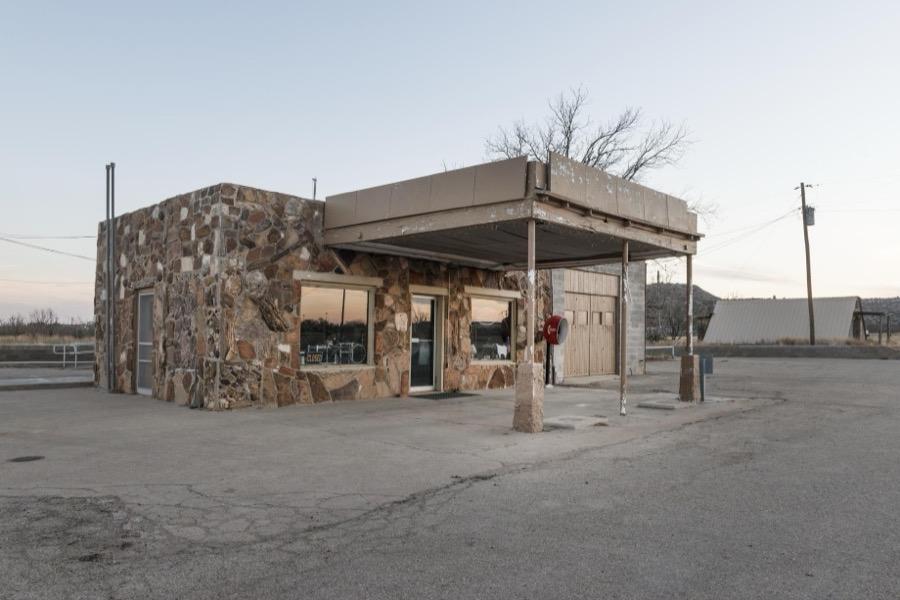
Highsmith, Carol M, 2014. Library of Congress
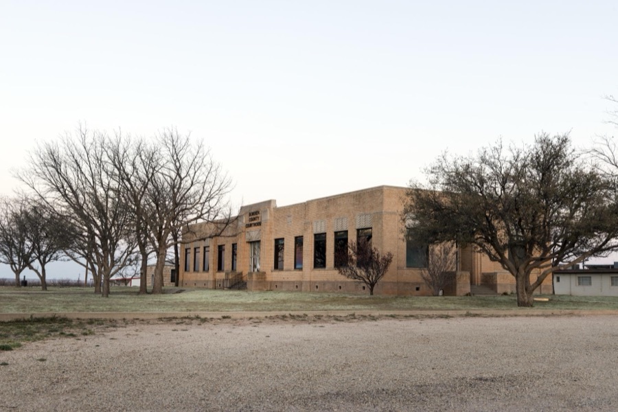
Highsmith, Carol M, 2014. Library of Congress
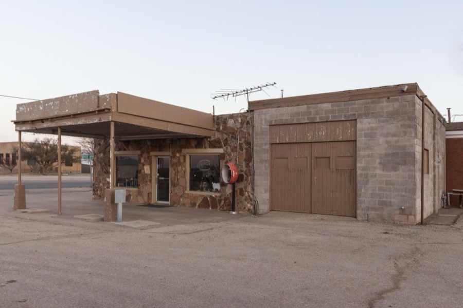
Highsmith, Carol M, 2014. Library of Congress
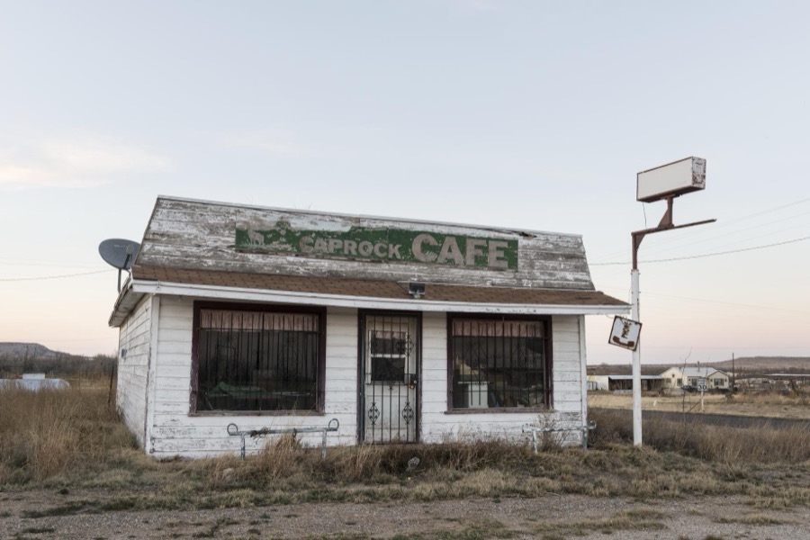
Highsmith, Carol M, 2014. Library of Congress
Bird's-eye views and land ownership maps
2Drawn when these were printed as single large sheets: the town seen from the air, and the county divided into its farms with every owner named. Each opens the original at the Library of Congress.
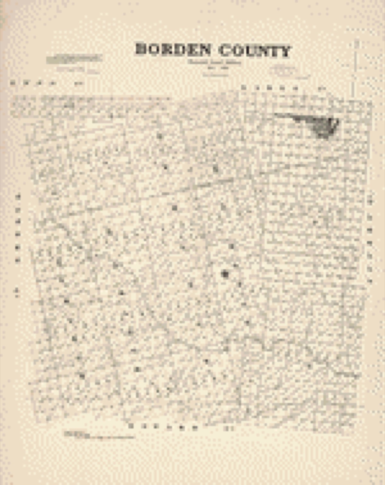
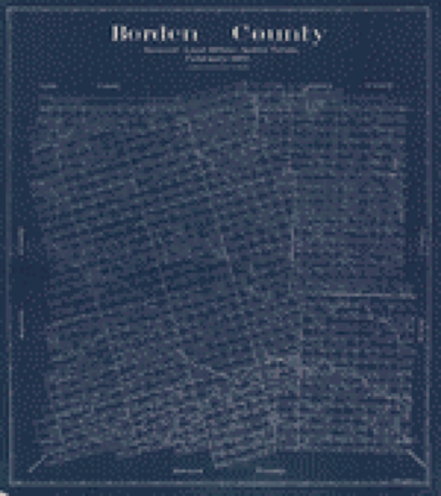
The county from the air
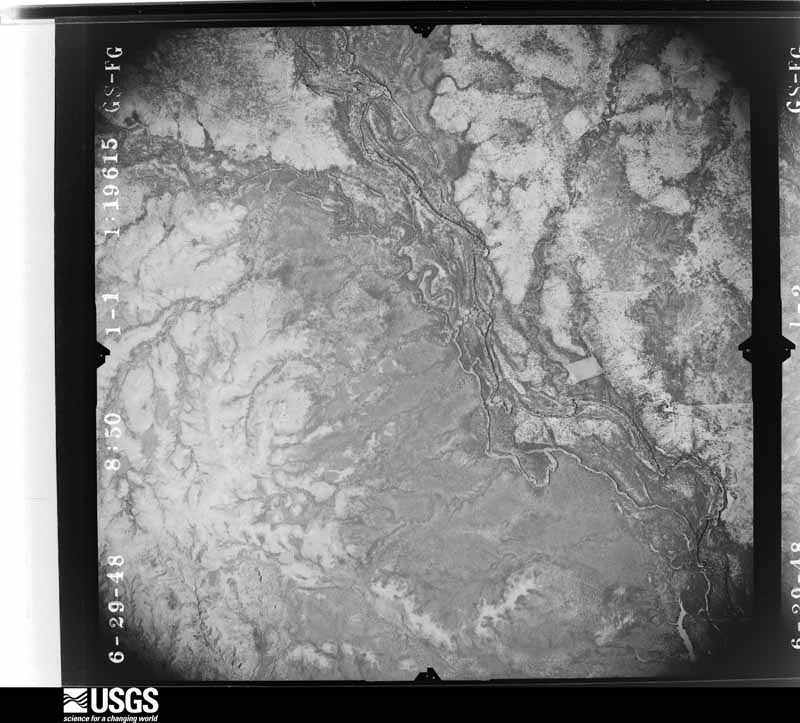
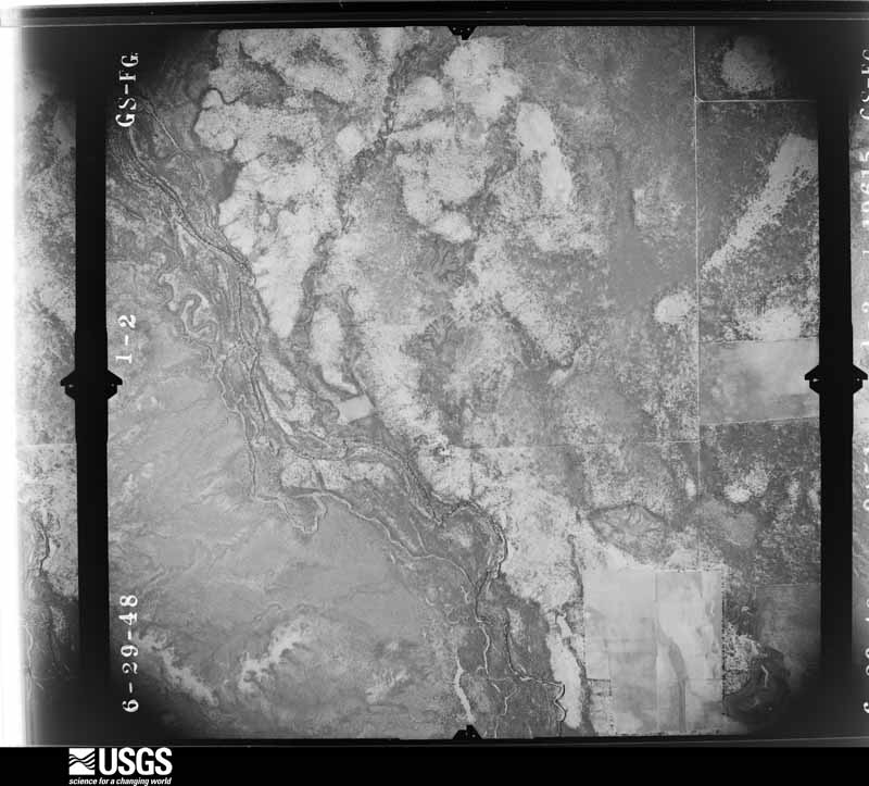
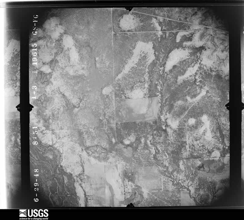
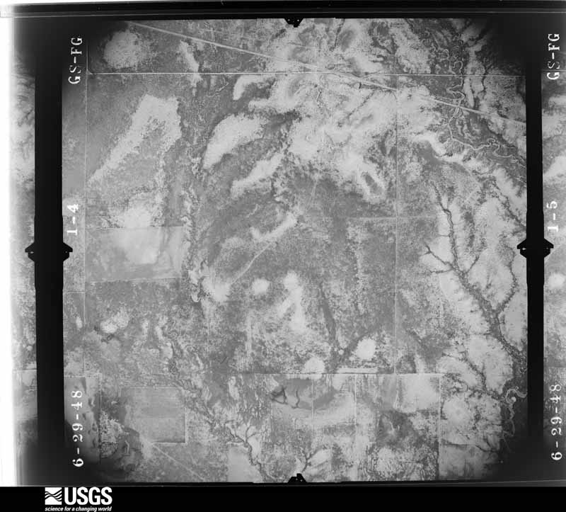
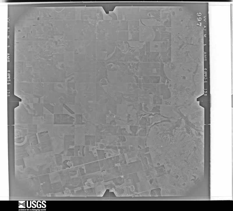
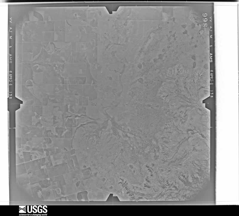
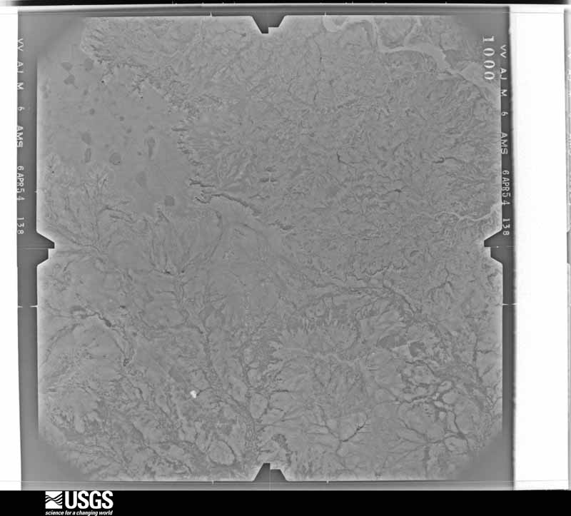
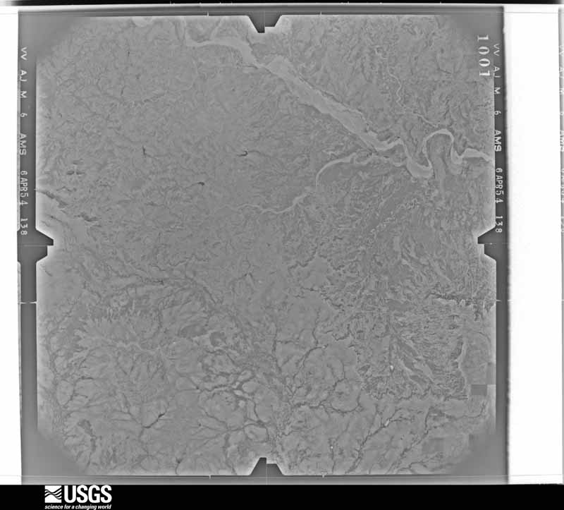
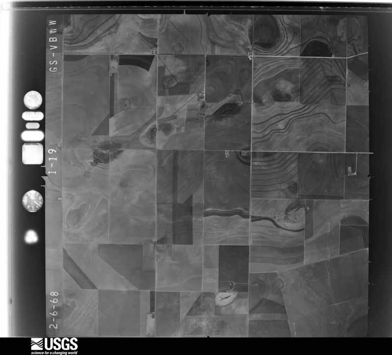
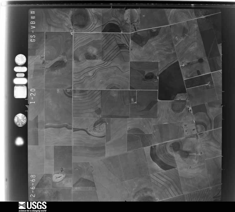
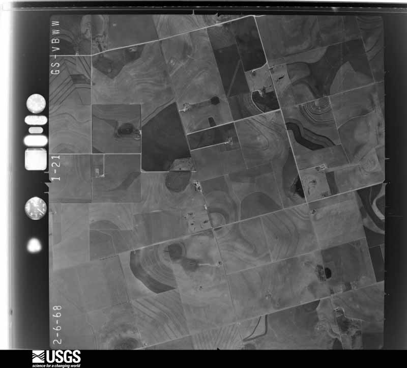
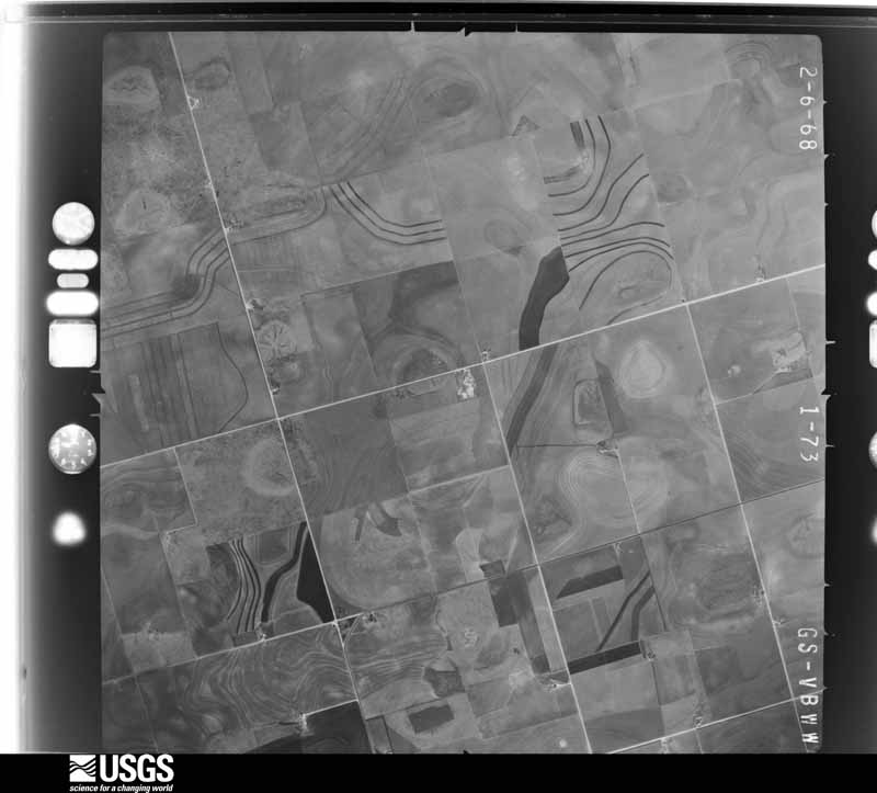
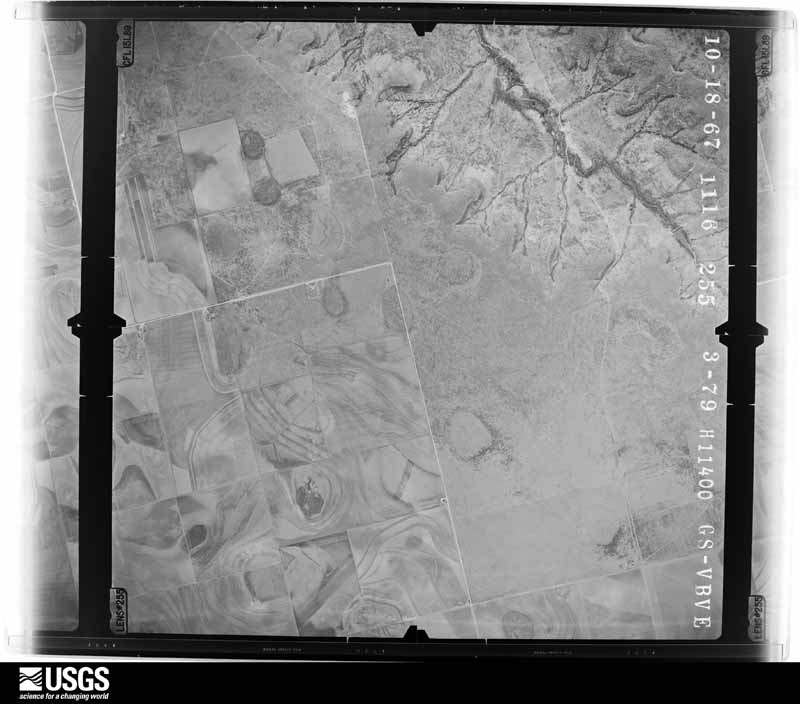
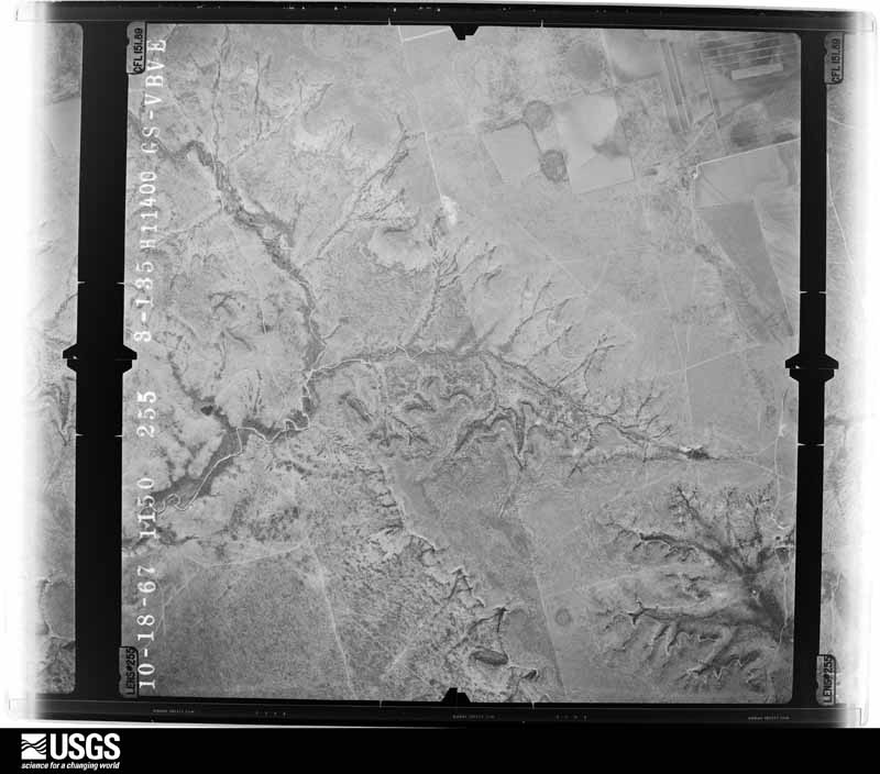
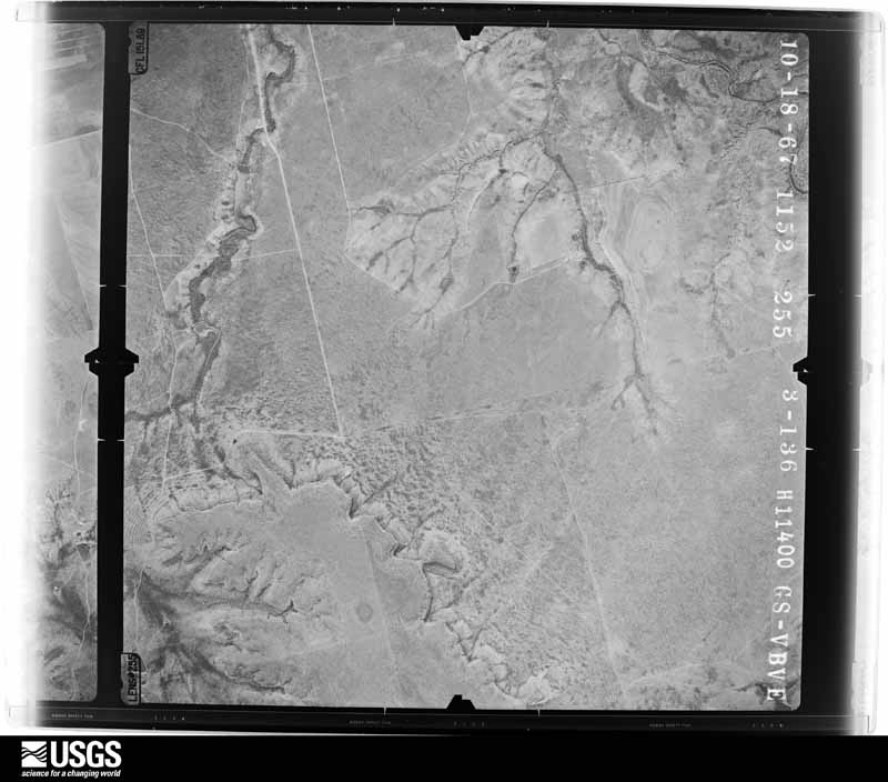
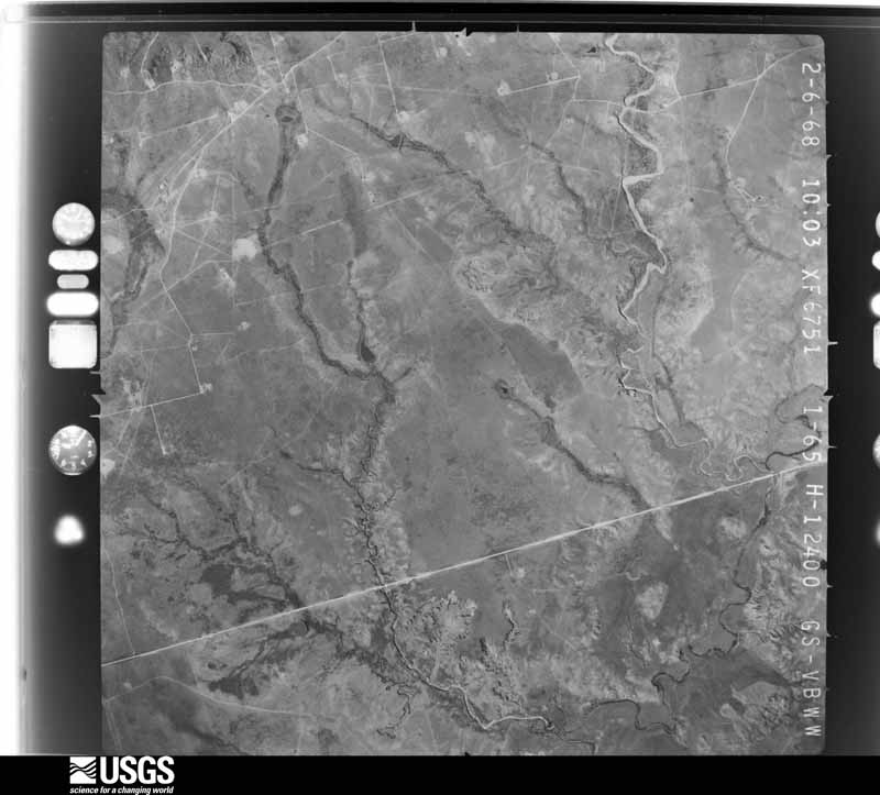
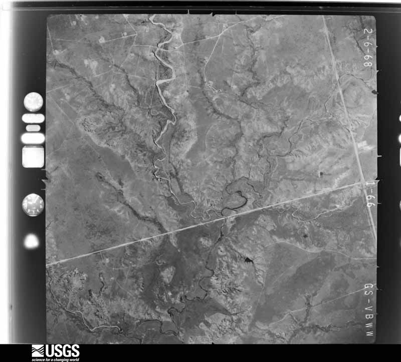
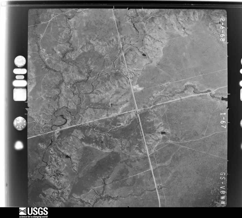
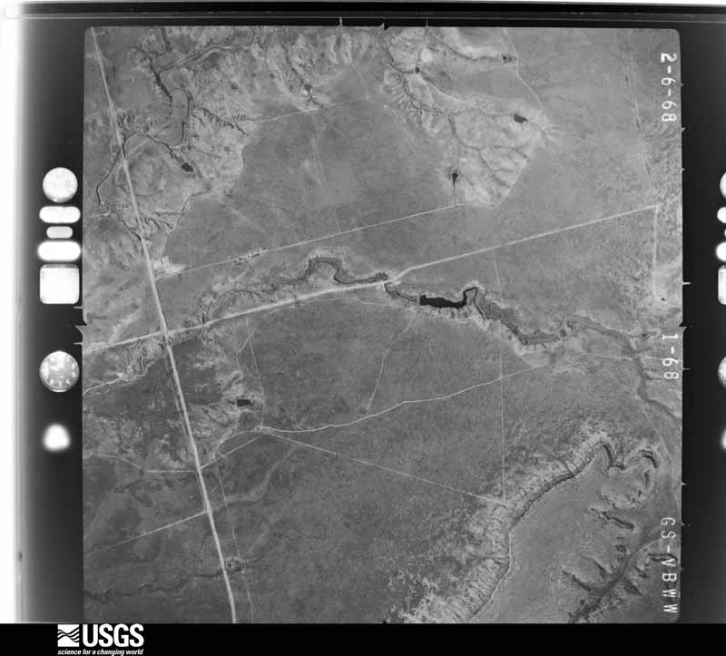
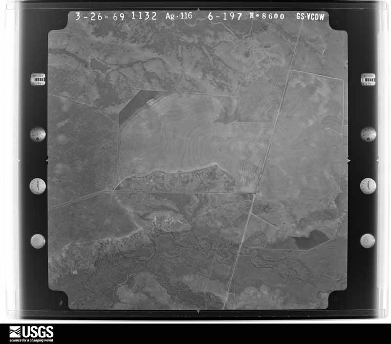
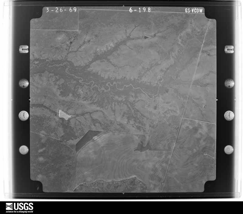
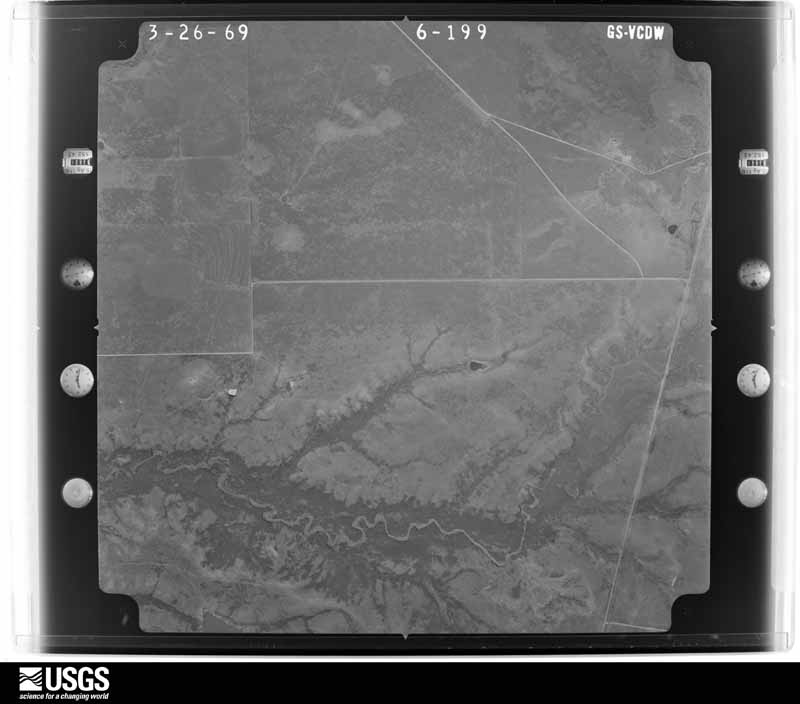
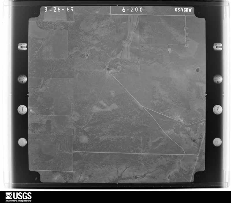
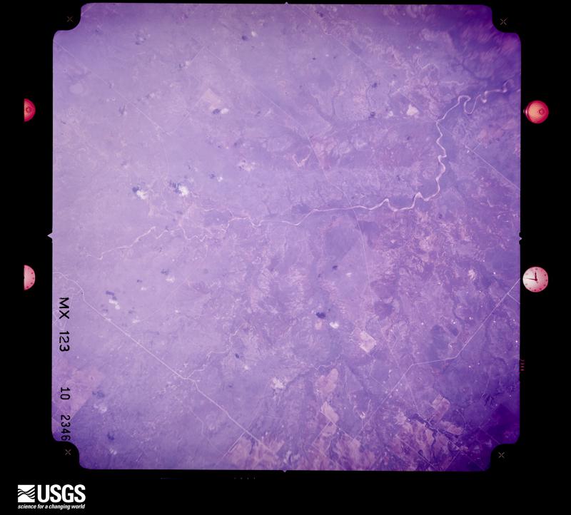
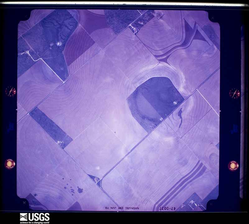
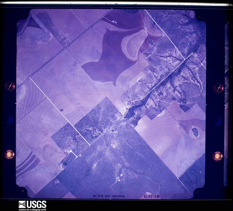
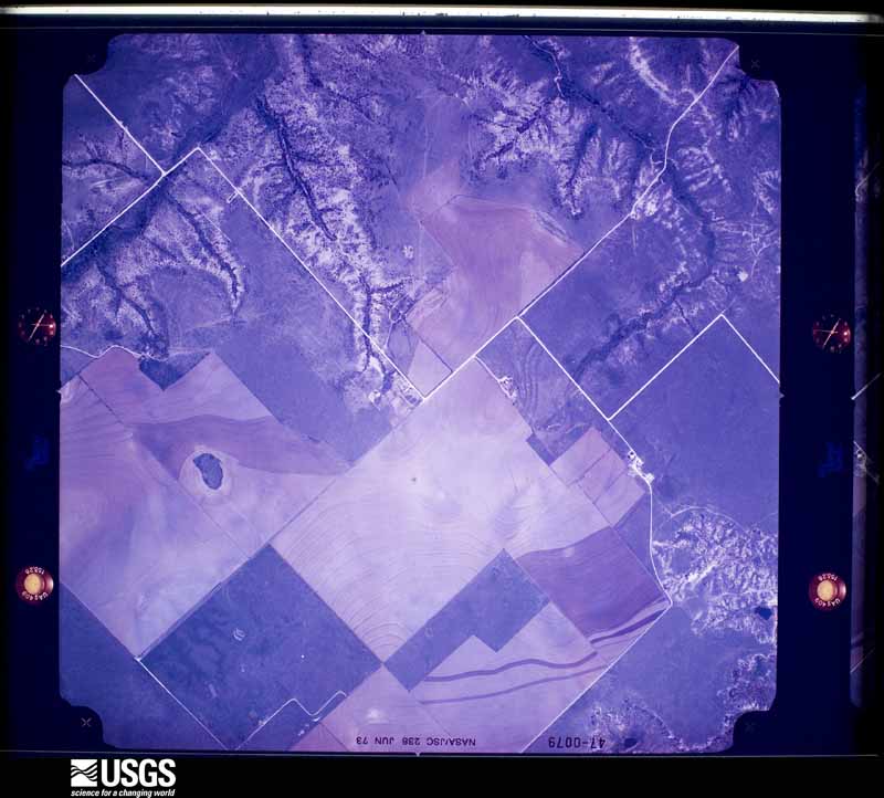
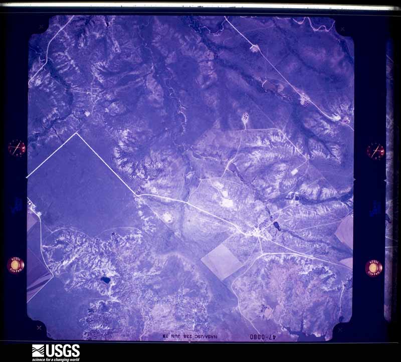
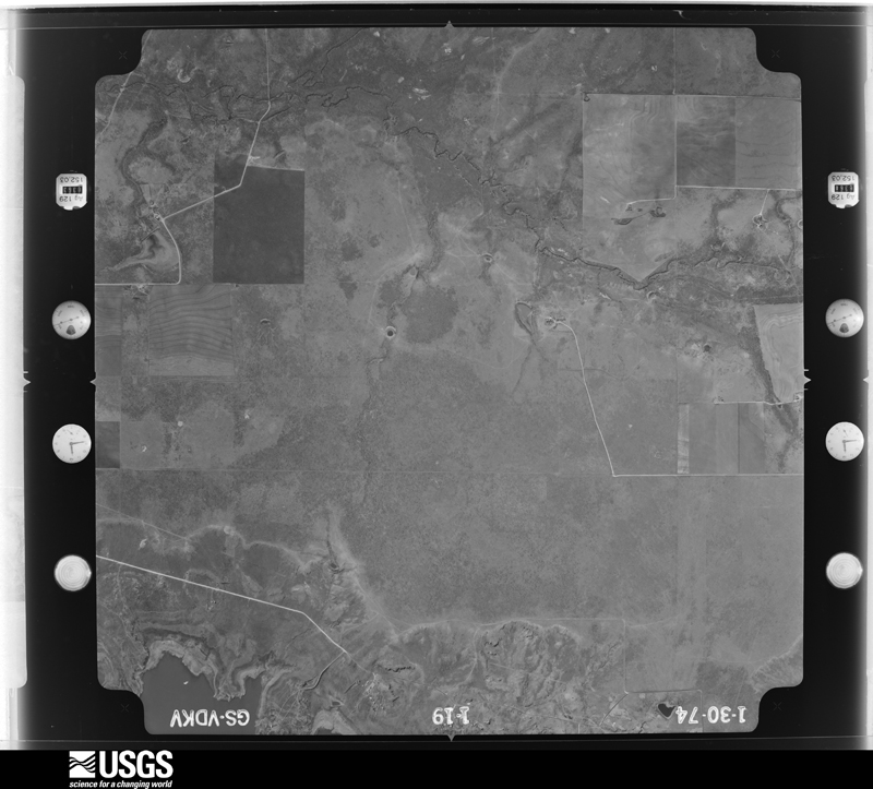
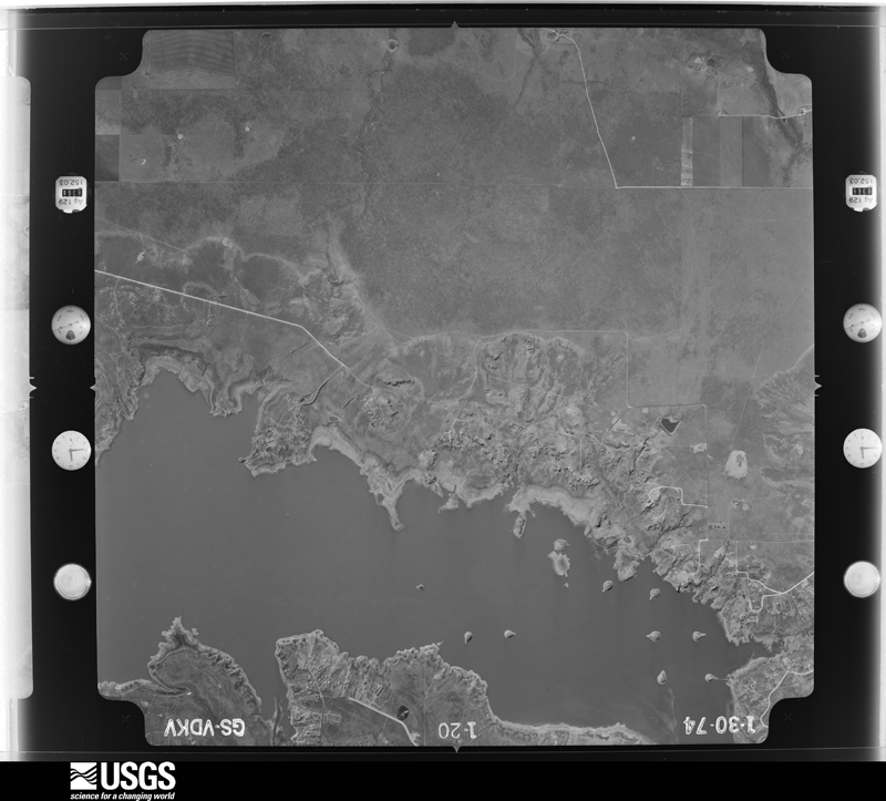
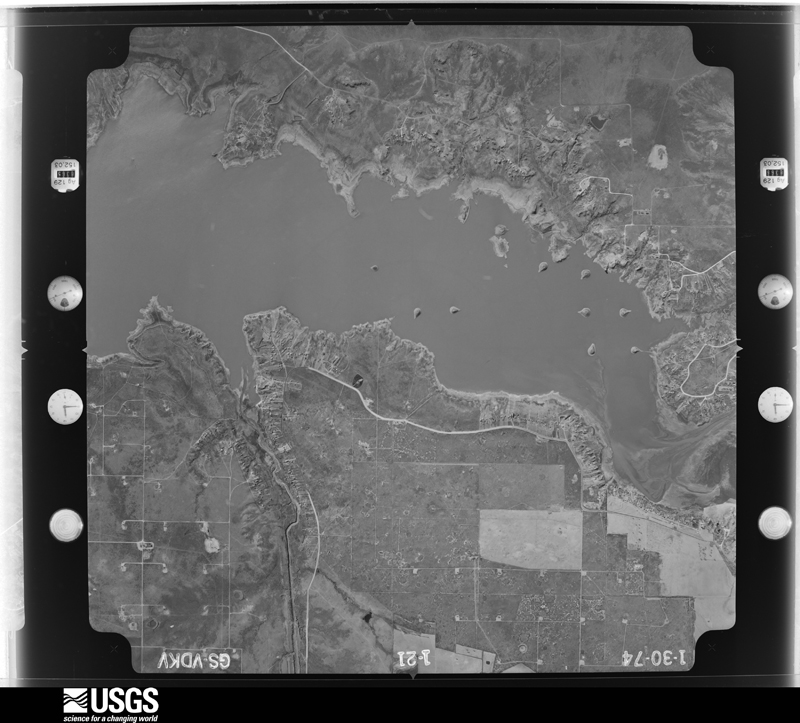
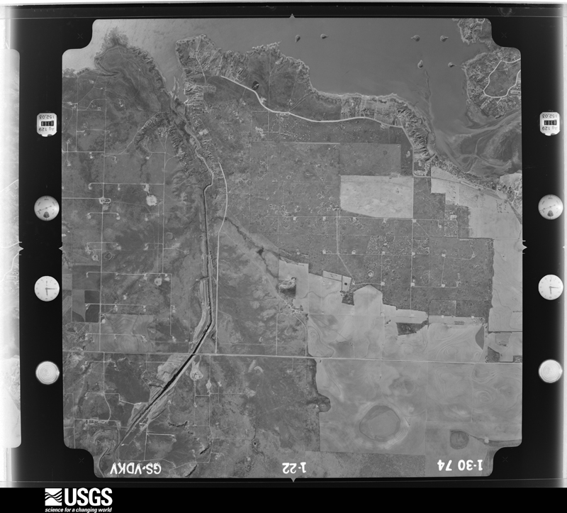
40 shownFlown by the U.S. Geological Survey between 1937 and 1989, the Aerial Photo Single Frames collection is the definitive mid-century view of the land: fields, roads and rivers as the camera saw them. The Survey holds 972 frames inside the rectangle that bounds this county; the 40 frames below were taken over the county itself, chosen across the decades of flights (at most four a year from that rectangle), so one flight cannot crowd out the rest. The full set is free to browse and download at EarthExplorer under the dataset Aerial Photo Single Frames.








Weather records
3 stations, 1 gageThe thermometers that kept this county's weather, and the gages that measured the flow of its streams, as the federal records hold them. The extremes below are measured values from those records, not estimates.
- Colorado Rv nr Gail, TX 1988 to 2026
The 1950 census, district by district
5 districtsWho lived here in 1950, one enumeration district at a time, as the Census Bureau described each district. Each row opens its official National Archives result, with Population Schedules and ED Maps available there.
Wildfire, 2006 to 2020
54 firesEvery wildfire the federal occurrence database records inside this county: 54 of them, burning about 29,265 acres. 14 started naturally and none was recorded as arson. Each settlement page carries the fires within five miles of it.
| Reported cause | Fires |
|---|---|
| Missing data/not specified/undetermined | 15 |
| Natural | 14 |
| Power generation/transmission/distribution | 11 |
| Debris and open burning | 7 |
| Equipment and vehicle use | 6 |
| Smoking | 1 |
The five largest, by the area the report gives. None of them was recorded as arson.
| Date | Cause | Size | Reported by | Name on the report |
|---|---|---|---|---|
| 31 March 2008 | Missing data/not specified/undetermined | 15,000 acres | Texas A & M Forest Service | BORDEN COUNTY FIRE |
| 24 March 2011 | Equipment and vehicle use | 10,000 acres | Texas A & M Forest Service | MILLER RANCH |
| 31 July 2016 | Missing data/not specified/undetermined | 600 acres | Texas A & M Forest Service | BRIDWELL |
| 18 May 2006 | Natural | 400 acres | Texas A & M Forest Service | not named |
| 5 January 2008 | Missing data/not specified/undetermined | 400 acres | Texas A & M Forest Service | not named |
| 28 January 2008 | Missing data/not specified/undetermined | 320 acres | Texas A & M Forest Service | not named |
| 15 December 2010 | Power generation/transmission/distribution | 300 acres | Texas A & M Forest Service | MULESHOE |
| 1 March 2006 | Equipment and vehicle use | 300 acres | Texas A & M Forest Service | not named |
Every settlement page carries the fires within five miles of it - see the settlement index below.
Storms, 1954 to 2025
60 of 210 shownThe NOAA Storm Events Database holds 210 reports for this county, causing no deaths, no injuries and about $491,800 in recorded property damage. Each settlement page carries the reports that name it.
| Kind of event | Reports |
|---|---|
| Hail | 102 |
| Thunderstorm Wind | 74 |
| Flash Flood | 21 |
| Tornado | 11 |
| Flood | 1 |
| Funnel Cloud | 1 |
The most serious of them, by death, then injury, then recorded damage. The accounts are quoted exactly as the forecast office filed them.
| When | Event | Place named | Harm | What the report says |
|---|---|---|---|---|
| June 2020 | Thunderstorm Wind | Gail | $100,000 | A thunderstorm moved across Borden County and produced wind gusts estimated to be 80 to 85 mph in Gail. Damages include roofs blown off, fences destroyed, trees blown over, sheds blown over, bent poles, and a damaged stop sign. The cost of damage is a very rough estimate. |
| June 2005 | Thunderstorm Wind | Gail | $100,000 | Severe thunderstorm winds caused extensive damage in Gail. At least two roofs were damaged with one being blown off of a permanent residence. In addition, a small outbuilding was overturned and several large trees downed. |
| June 2005 | Tornado (F2) | Lake J B Thomas | $80,000 | A significant tornado developed in southern Borden County shortly after 18:00 CST. This tornado initially formed just north of Farm to Market Road 1785 three miles west of that highway's intersection with Farm to Market Road 1205. The tornado then slowly moved southwest, and resulted in a wide swath of damage to mesquite trees, road signs, fences, and utility poles as it crossed Farm to Market Road 1785.The tornado's damaging ground circulation briefly dissipated south of Farm to Market Road 1785 in south-central Borden County. Video provided by the public and storm spotters indicated that this phase of the tornado's life cycle was characterized by a condensation funnel that reached half way to the ground with no debris visible near the ground. National Weather Service meteorologists that conducted a damage survey of the tornado's track initially concluded that the broken damage path was likely the result of two separate tornadoes. Photographic evidence, however, supports that the funnel aloft remained well-defined and that the tornado reformed about one mile north of the Borden and Howard County line. The tornado crossed a county road near the Howard County line, and left a three-quarter mile wide swath of damage to mesquite trees and fences. Large drifts of wind blown mud accumulated several feet high along barbed-wire fences on the north side of the tornadoes circulation. A tin shed also was severely damaged. The tornado then moved over plowed fields as it crossed into north-central Howard County.Damage in the Borden County segment of the tornado's path would suggest a weak category rating. This may be largely due to a lack of man made structures that were affected. More significant (F2) damage was observed along the Howard County segment of the damage path. The total path length over Borden and Howard Counties was nine miles. |
| September 2024 | Flash Flood | Gail | $75,000 | The emergency manager reports several high-water rescues were conducted near and around Lake J.B. Thomas during the afternoon and early evening. The property damage cost is an estimation. |
| June 1999 | Thunderstorm Wind | Lake J B Thomas | $30,000 | Scattered thunderstorm wind damage occurred near Lake Thomas that included roofs blown off two carports and a lake pumphouse, a travel trailer overturned, and 15 utility poles broken. The winds were associated with the RFD winds that hit the Mesquite area. |
| June 2017 | Thunderstorm Wind | Lake J B Thomas | $20,000 | A thunderstorm moved across Borden County and produced wind damage north of Lake JB Thomas. Ten power poles were blown down north of Lake JB Thomas and west of Bull Creek Channel but the exact location is not known. The cost of damage is a very rough estimate. |
| May 1998 | Hail | Gail | $20,000 | Although sparsely populated, most of the people of north-central Borden County were pounded by this HP Supercell south of the mesocyclone. Numerous reports of broken windows in houses and vehicles were received. Animals including one coyote and one deer were killed by the hail as well as numerous rabbits, plus cattle had deep injuries and two horses had an eye put out by the wind-driven large hail. |
| June 2020 | Thunderstorm Wind | Gail | $8,000 | A thunderstorm moved across Borden County and produced winds estimated to be 100 to 120 mph five miles southeast of Gail. A localized microburst occurred according to a National Weather Service storm survey with three broken powerline poles. The cost of damage is a very rough estimate. |
| June 2018 | Thunderstorm Wind | Gail | $8,000 | A thunderstorm moved across Borden County and produced wind damage ten miles south of Gail. Power poles were blown down along Willow Valley Road. The cost of damage is a very rough estimate. |
| September 2014 | Flash Flood | Gail | $5,000 | Heavy rain fell across Borden County and produced flash flooding. Farm to Market Road 669 was closed due to high water. Portions of the road were swept away. The cost of damage is a very rough estimate. |
| April 2008 | Hail | Gail | $5,000 | Quarter to golfball sized hail covered the ground in Gail. |
| June 2005 | Hail | Lake J B Thomas | $5,000 | Hail up to the size of hen eggs was reported at Lake J.B. Thomas. The hail caused minor damage and broke limbs off trees. Although significant agricultural losses were not reported, there are numerous pecan orchards in the vicinity of the lake. |
| June 2005 | Hail | Lake J B Thomas | $5,000 | A rancher in southern Borden County, while conversing with National Weather Service meteorologists conducting a damage survey, described tennis ball size hail that fell at his residence for at least thirty minutes. The ranch house is located near Farm to Market Road 1785 west of Lake J.B. Thomas. The hail pounded crops in the area as the man and his wife watched a large tornado (see the next event entry) track to the southeast and south of their home. |
| June 2005 | Tornado (F0) | Gail | $5,000 | Eye witnesses observed a brief tornado that developed along Farm to Market Road 669 just north of that highway's intersection with Farm to Market Road 1785. Local law enforcement officials and the Texas Department of Transportation reported that highway road signs were "missing" along the tornado's short track along Farm to Market Road 669. The signs were believed to be lofted by the tornadic winds and deposited in adjacent mesquite fields. This tornado developed along the flanking line of the cyclic tornadic supercell. The following tornado was associated with the storm's mesocylone, and formed east of this event. |
| September 2005 | Thunderstorm Wind | Gail | $5,000 | A severe thunderstorm produced nickel sized hail and damaging wind gusts in Gail on the evening of the 14th. The hail, accompanied by severe winds, broke windows in numerous structures. |
| September 2005 | Hail | Gail | $5,000 | A severe thunderstorm produced nickel sized hail and damaging wind gusts in Gail on the evening of the 14th. The hail, accompanied by severe winds, broke windows in numerous structures. |
| September 2014 | Flash Flood | Gail | $3,000 | Heavy rain fell across Borden County and produced flash flooding in Gail. Water was reported to have risen to residents' houses and some roads were impassable in Gail. The cost of damage is a very rough estimate. |
| April 2012 | Hail | Gail | $2,000 | A severe thunderstorm moved across Borden County and produced golfball, tennis ball, and softball sized hail fifteen miles northeast of Gail. This hail broke windshields on vehicles. The cost of the damage done to the windshields is an rough estimate. |
| March 2007 | Thunderstorm Wind | Gail | $1,500 | The West Texas Mesonet station two miles east-southeast of Gail measured an 86 mph wind gust before communications were lost. After the storm, a West Texas Mesonet representative went to the station and reported that the radio antenna had been bent and one of the guy wires was damaged. The fence surrounding the instrumentation was damaged by wind blown mesquite. |
| May 2015 | Flash Flood | Gail | $1,000 | Heavy rain fell across Borden County and produced flash flooding in Gail. The Colorado River was reported to be flooded at Gail. The cost of damage and area affected is a very rough estimate. |
| September 2014 | Flash Flood | Gail | $1,000 | Heavy rain fell across Borden County and produced flash flooding. The fire chief in Gail reported most farm to market roads across Borden County were flooded. He recommended not to travel in the county on that day. The cost of damage is a very rough estimate. |
| September 2014 | Flood | Lake J B Thomas | $1,000 | Heavy rain fell across Borden County and produced flash flooding southeast of Gail. There was an ongoing high water rescue at Lake JB Thomas by the Scurry Volunteer Fire Department. The cost of damage is a very rough estimate. |
| September 2014 | Flash Flood | Lake J B Thomas | $1,000 | Heavy rain fell across Borden County and produced flash flooding around Lake JB Thomas. People were reported to be trapped at Lake JB Thomas due to roads around the lake being flooded. The cost of damage is a very rough estimate. |
| May 2013 | Flash Flood | Gail | $1,000 | Thunderstorms moved over Borden County and produced flash flooding in Gail. Nearby creeks were flooding into local roads. The cost of damage is a rough estimate. |
| May 2013 | Flash Flood | Gail | $1,000 | Thunderstorms moved over Borden County and produced flash flooding in Gail. Creeks were reported to be flooding into local roads. The cost of damage is a rough estimate. |
| June 1999 | Thunderstorm Wind | Gail | $1,000 | Utility lines knocked down in the Mesquite community. |
| May 2015 | Flash Flood | Gail | $500 | Heavy rain fell across Borden County and produced flash flooding south of Gail. State Highway 669 was closed and Barricaded about five miles south of Gail. The cost of damage is a very rough estimate. |
| September 2014 | Flash Flood | Lake J B Thomas | $500 | Heavy rain fell across Borden County and produced flash flooding. Most of the farm to market roads across eastern Borden County had flooding. Farm to Market roads 1610, 1205 and 669 were closed due to flooding. The cost of damage is a very rough estimate. |
| April 1993 | Hail | Gail | $500 | A strong, long-lived thunderstorm developed in Crane County and left a path of hail and wind damage through several counties in the Permian Basin. Two apartment complexes and a nursing home in Odessa lost most of their windows from wind-driven hail. High winds unroofed a home in Odessa. As the storm moved through Gardendale, golf ball-size hail and 75-mph winds combined to damage homes, vehicles, crops, and power poles. In Midland County, the storm produced baseball-size hail which damaged roofs, cars, and shattered the windows of a convienence store. The storm continued producing golf ball-size hail as it moved through Martin and Borden Counties. Minor damage to windows and crops was reported in western Borden County. |
| May 2021 | Hail | Gail | $400 | A thunderstorm produced hail seven miles northwest of Fluvanna. There was a report of broken home windows. The cost of damage is a very rough estimate. |
| September 2014 | Flash Flood | Gail | $200 | Heavy rain fell across Borden County and produced flash flooding near Gail. Six to eight inches of water was reported to be running over Highway 180. The cost of damage is a very rough estimate. |
| September 2014 | Flash Flood | Gail | $200 | Heavy rain fell across Borden County and produced flash flooding on Farm to Market Road 1054. No damage was reported so the cost of damage is a very rough estimate. |
| May 2025 | Thunderstorm Wind | Gail | - | The 31 Fluvanna 3W West Texas Mesonet station recorded a 59 mph wind gust, as well as a 58 mph wind gust a few minutes before. |
| May 2025 | Thunderstorm Wind | Gail | - | The West Texas Mesonet Station 26 Gail 2SE recorded a 59 mph wind gust. |
| June 2025 | Thunderstorm Wind | Gail | - | The West Texas Mesonet station 26 Gail 2SE measured a 67 mph wind gust. |
| June 2025 | Thunderstorm Wind | Gail | - | The West Texas Mesonet station 31 Fluvanna 3W recorded a 60 mph wind gust. |
| October 2023 | Hail | Gail | - | Quarter to golf ball size hail east of Gail on US Highway 180. |
| May 2022 | Thunderstorm Wind | Gail | - | A thunderstorm moved across Borden County and produced a 59 mph wind gust at the Mesonet site near Gail. |
| May 2022 | Thunderstorm Wind | Gail | - | A thunderstorm produced a 70 mph wind gust at the Mesonet site near Fluvanna. |
| May 2021 | Thunderstorm Wind | Gail | - | A thunderstorm produced a 59 mph wind gust three miles west northwest of Fluvanna. |
| June 2021 | Thunderstorm Wind | Gail | - | A thunderstorm moved across Borden County and produced a 58 mph wind gust at the mesonet site near Gail. |
| October 2021 | Thunderstorm Wind | Gail | - | A thunderstorm produced a 57 mph wind gust near Gail. |
| June 2020 | Thunderstorm Wind | Gail | - | A thunderstorm moved across Borden County and produced a 58 mph wind gust at the mesonet site near Fluvanna. |
| June 2020 | Thunderstorm Wind | Gail | - | A thunderstorm moved across Borden County and produced a 63 mph wind gust at the mesonet site near Gail. |
| May 2020 | Funnel Cloud | Gail | - | A thunderstorm produced a funnel cloud ten miles west of Fluvanna. |
| June 2020 | Thunderstorm Wind | Gail | - | A thunderstorm moved across Borden County and produced an estimated 60 mph wind gust in Gail. |
| June 2020 | Thunderstorm Wind | Gail | - | A thunderstorm moved across Borden County and produced an 83 mph wind gust at the mesonet site near Gail. |
| May 2019 | Thunderstorm Wind | Gail | - | A thunderstorm moved across Borden County and produced a 60 mph wind gust three miles west northwest of Fluvanna. |
| March 2019 | Thunderstorm Wind | Gail | - | A thunderstorm moved across Borden County and produced a 58 mph wind gust two miles east southeast of Gail. |
| June 2019 | Thunderstorm Wind | Gail | - | A thunderstorm moved across Borden County and produced a 59 mph wind gust in Gail. |
| June 2019 | Thunderstorm Wind | Gail | - | A thunderstorm moved across Borden County and produced a 60 mph wind gust six miles northwest of Fluvanna. |
| May 2019 | Tornado (EF0) | Gail | - | A thunderstorm produced a brief rope tornado seven miles southwest of Gail. The path width and length were estimated and no damage was reported. |
| June 2018 | Thunderstorm Wind | Gail | - | A thunderstorm moved across Borden County and produced a 69 mph wind gust near Gail. |
| March 2017 | Thunderstorm Wind | Gail | - | A thunderstorm moved across Borden County and produced a 60 mph wind gust sixteen miles northwest of Gail. |
| September 2017 | Thunderstorm Wind | Gail | - | A thunderstorm moved across Borden County and produced a 66 mph wind gust at the mesonet site near Gail. |
| May 2016 | Hail | Gail | - | Report of golf ball sized hail in Gail came from the Borden County Sheriff's Office. |
| July 2015 | Flash Flood | Lake J B Thomas | - | Thunderstorms with heavy rain moved across Borden County in the morning hours and produced flash flooding. The fire department reported more than six inches of water over FM 1785 about 15 miles south southeast of Gail. |
| May 2015 | Tornado (EF0) | Gail | - | A thunderstorm moved across Borden County and produced a brief tornado about 16 miles northwest of Gail. The time the tornado was on the ground, the path width and length were estimated. There was no damage reported, so the tornado was rated as an EF-0. |
| August 2014 | Thunderstorm Wind | Gail | - | A thunderstorm moved across Borden County and produced a 59 mph wind gust at both 5:30 pm and 5:35 pm CDT at the mesonet station near Gail. No damage was reported. |
| June 2013 | Flash Flood | Gail | - | Heavy rain moved across Borden County and produced flash flooding around ten miles south of Gail. There was no damage reported so the cost of damage is assumed to be zero. |
Mines and quarries
2 recordedThe Survey's mineral resources record lists 2 workings inside this county. 1 still produces and 1 is closed or unrecorded. Each settlement page carries the workings within five miles of it.
| Commodity | Workings |
|---|---|
| Sand and Gravel, Construction | 2 |
The least common of them first, because a county's hundredth gravel pit says nothing its first ten did not.
| Where | Site | Commodity | Status | Recorded |
|---|---|---|---|---|
| Cope Sand and Gravel Operation | Sand and Gravel, Construction | Past Producer | ||
| Pit & Plant No 1 | Sand and Gravel, Construction | Producer |
Every populated place in the county
3Named settlements recorded in the Geographic Names Information System, each with the topographic sheets covering it. Villages, hamlets and abandoned places alike. Each is shown with the nearest named watercourse or landform and the survey quadrangle it falls on.
Provenance
- Topographic sheets. USGS Historical Topographic Map Collection, county index, measured from the bulk metadata.
- Fire insurance maps. Library of Congress Sanborn collection, faceted to this county.
- Photographs. Each place queried individually against the Library of Congress Prints and Photographs search.
- Wildfire. Short, Karen C. 2022. Spatial wildfire occurrence data for the United States, 1992-2020 [FPA_FOD_20221014]. 6th Edition. Fort Collins, CO: Forest Service Research Data Archive. https://doi.org/10.2737/RDS-2013-0009.6 Collected with United States Government funding and usable without additional permissions or fees.
- Mines and quarries. USGS Mineral Resources Data System (MRDS) https://mrdata.usgs.gov/mrds/ A work of the United States government, no copyright under 17 U.S.C. 105.
- Storms. NOAA National Centers for Environmental Information, Storm Events Database https://www.ncei.noaa.gov/stormevents/ A work of the United States government, no copyright under 17 U.S.C. 105. Narratives are quoted verbatim from the National Weather Service report and are not edited or summarised.